TR: Silliman to Kearsarge 9/8-11/23

If you've been searching for the best source of information and stimulating discussion related to Spring/Summer/Fall backpacking, hiking and camping in the Sierra Nevada...look no further!
User avatar
jimmyjamhikes
Topix Regular
Posts: 116
Joined: Wed Jun 01, 2016 9:00 am
Experience: Level 4 Explorer
Location: San Diego, CA
Contact:

TR: Silliman to Kearsarge 9/8-11/23

Post by jimmyjamhikes »

I just got back from a trip that was originally supposed to be a section hike of the Kings Canyon High Basin Route. I made it to Coppermine Pass where I got corniced-out and changed plans, taking the Elizabeth Pass Trail to the Avalanche Pass Trail to the Bubbs Creek Trail out over Kearsarge Pass.

Full trip report is here:

https://jimmyjamhikingclub.com/2023/09/ ... -shoulder/
https://jimmyjamhikingclub.com/2023/09/ ... an-canyon/
https://jimmyjamhikingclub.com/2023/09/ ... nche-pass/
https://jimmyjamhikingclub.com/2023/09/ ... -of-being/

But here are some highlights:

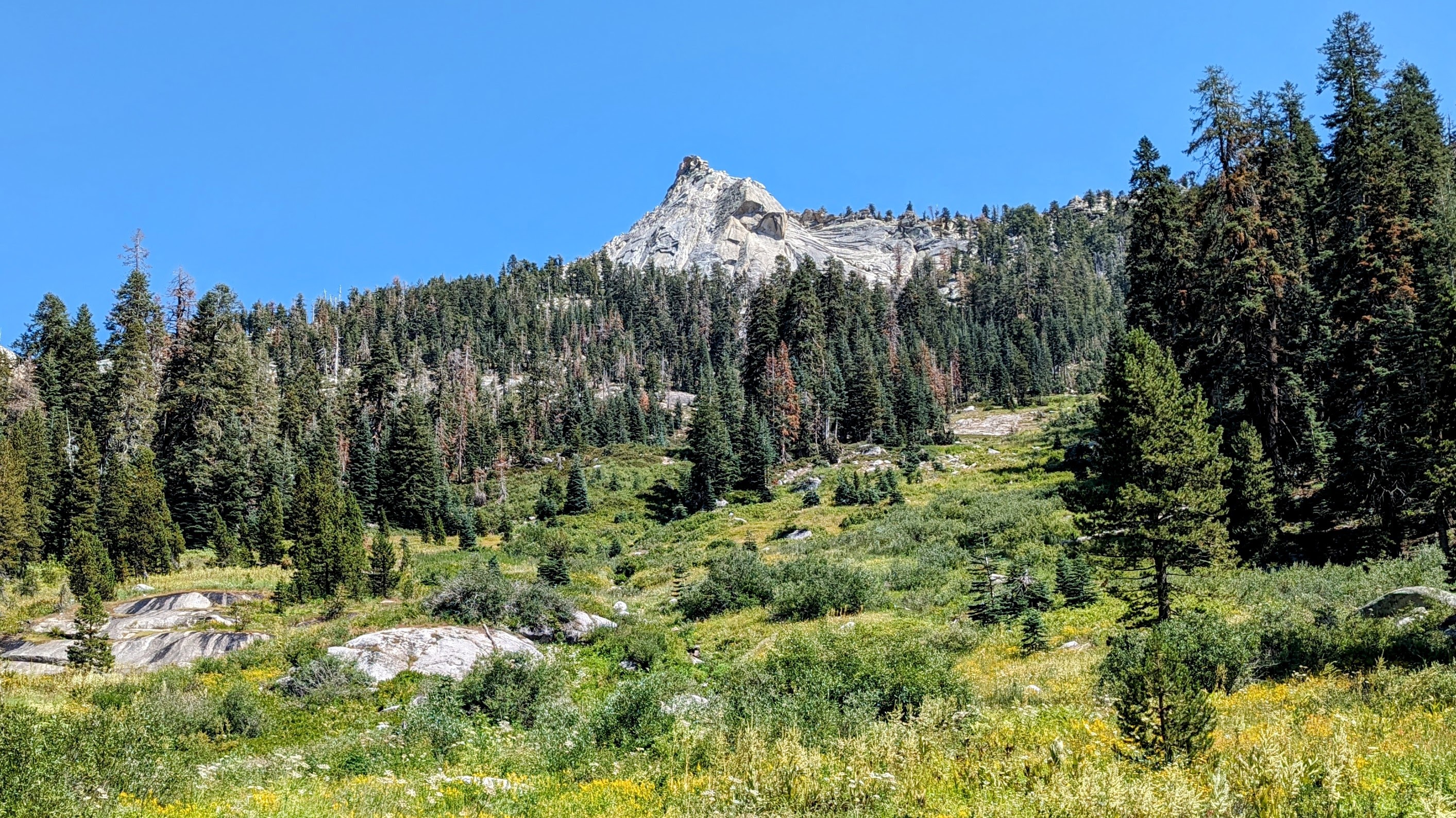
Day 1, the climb to Silliman Lake was wet and a little buggy (mosquito level 2). I was surprised at how well-defined the use trail up to Silliman Meadow was.
Image
Silliman Meadow

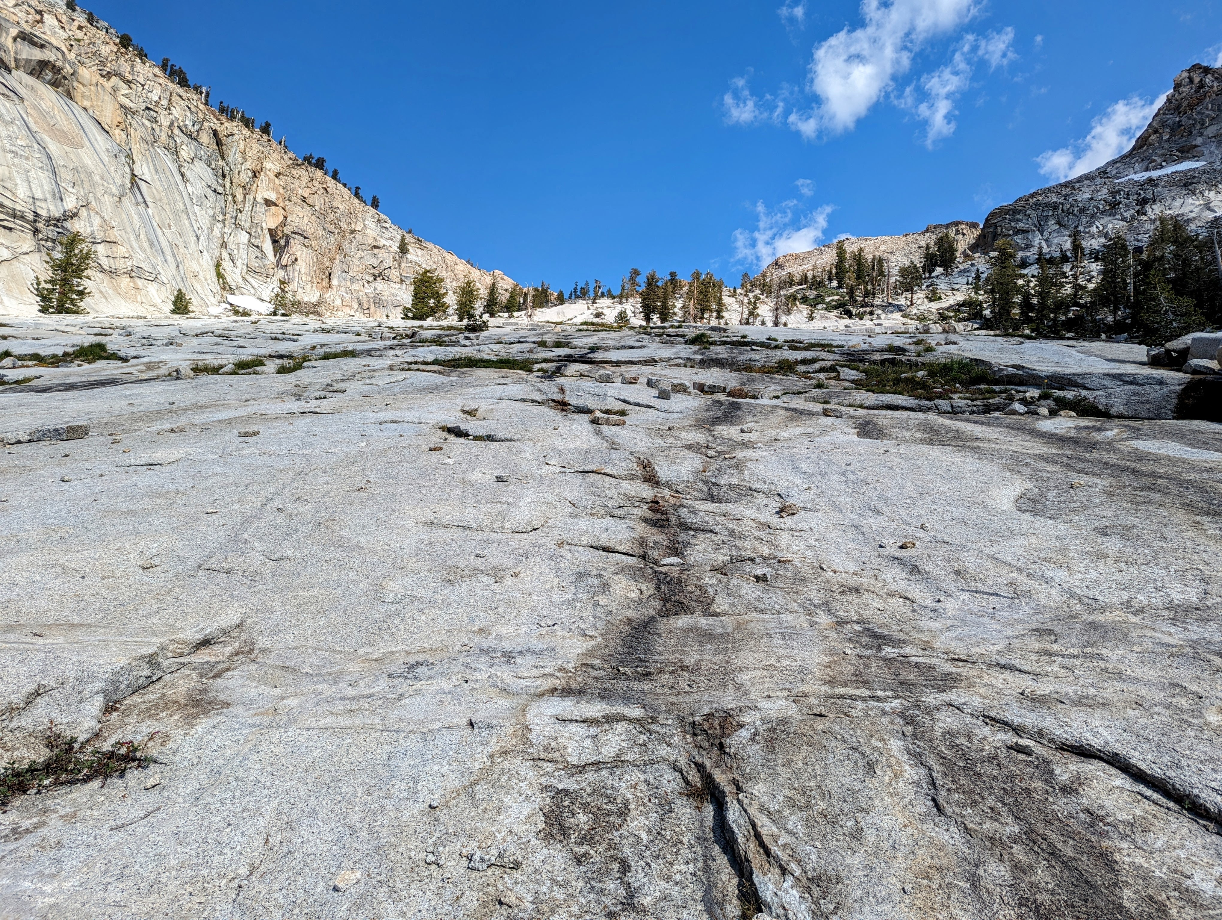
And I enjoyed climbing the slabs after that.
Image
The slabs

Image
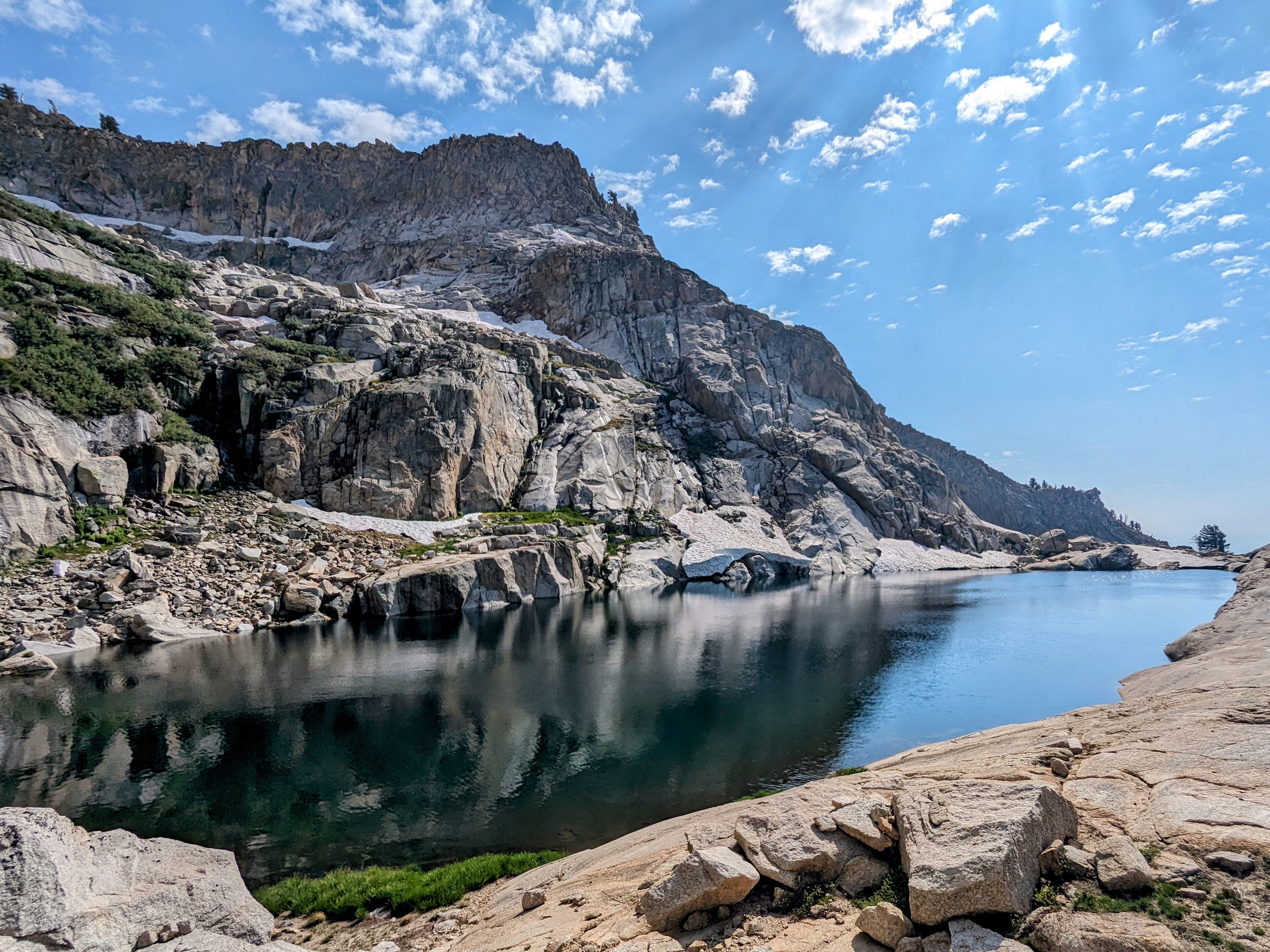
Silliman Lake

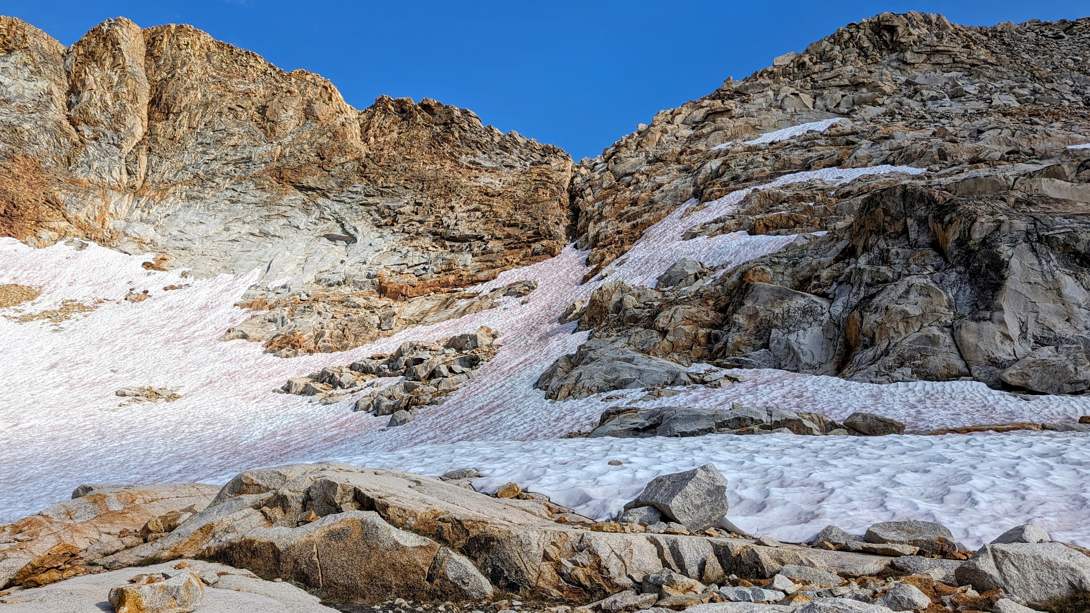
The ascent above the lake was very wet, and there was a medium-angle snow field on the approach to a dry notch to get over Silliman Shoulder.
Image
Approach to Silliman Shoulder

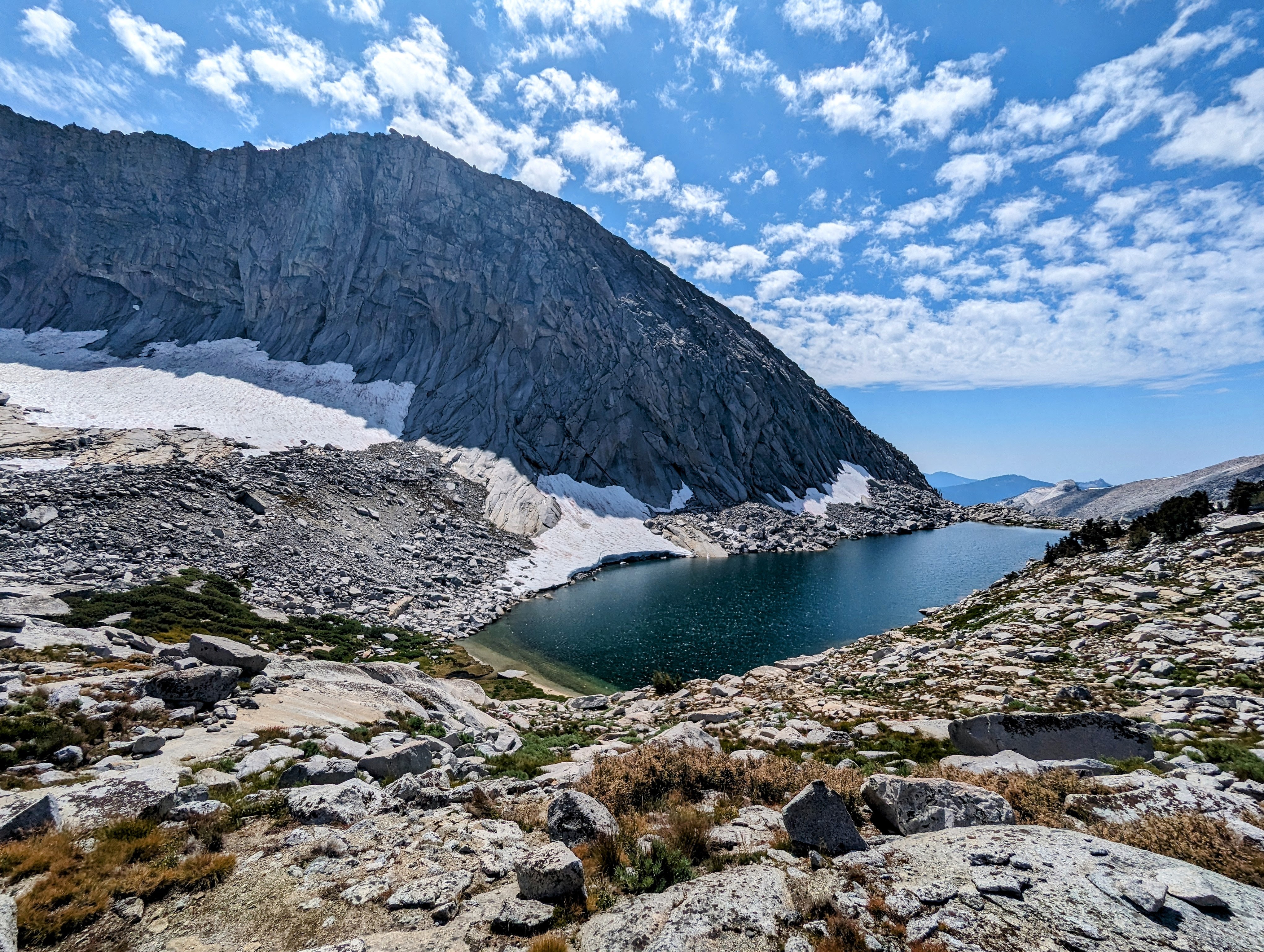
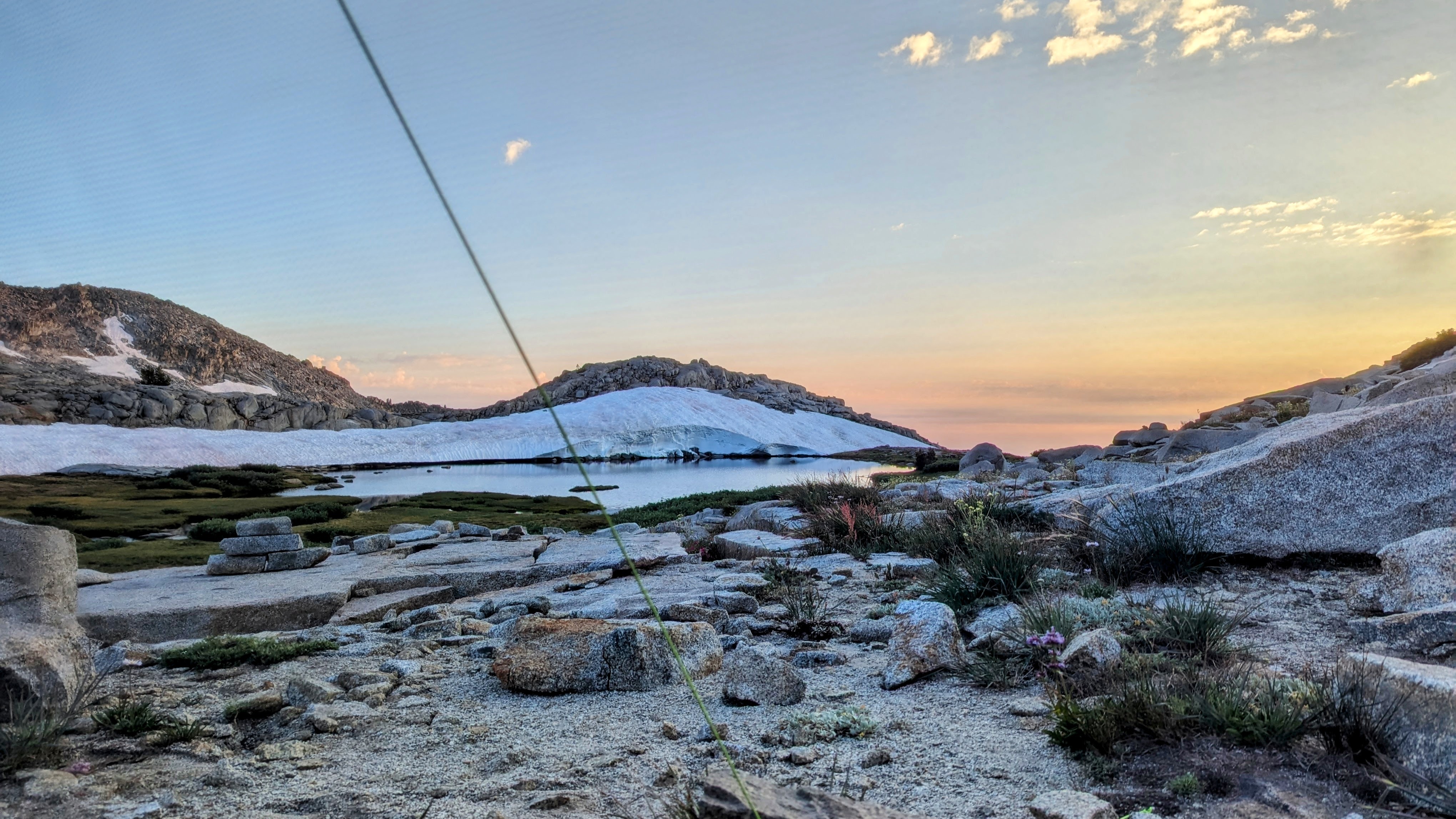
Once in the beautiful Tablelands, the travel was straightforward and I camped in a swampy mosquito apocalypse (level 4) at Lake 10410.
Image
Lake 10410

That night there was a very active thunderstorm for 4 hours, which spooked me since I was so close to the divide.

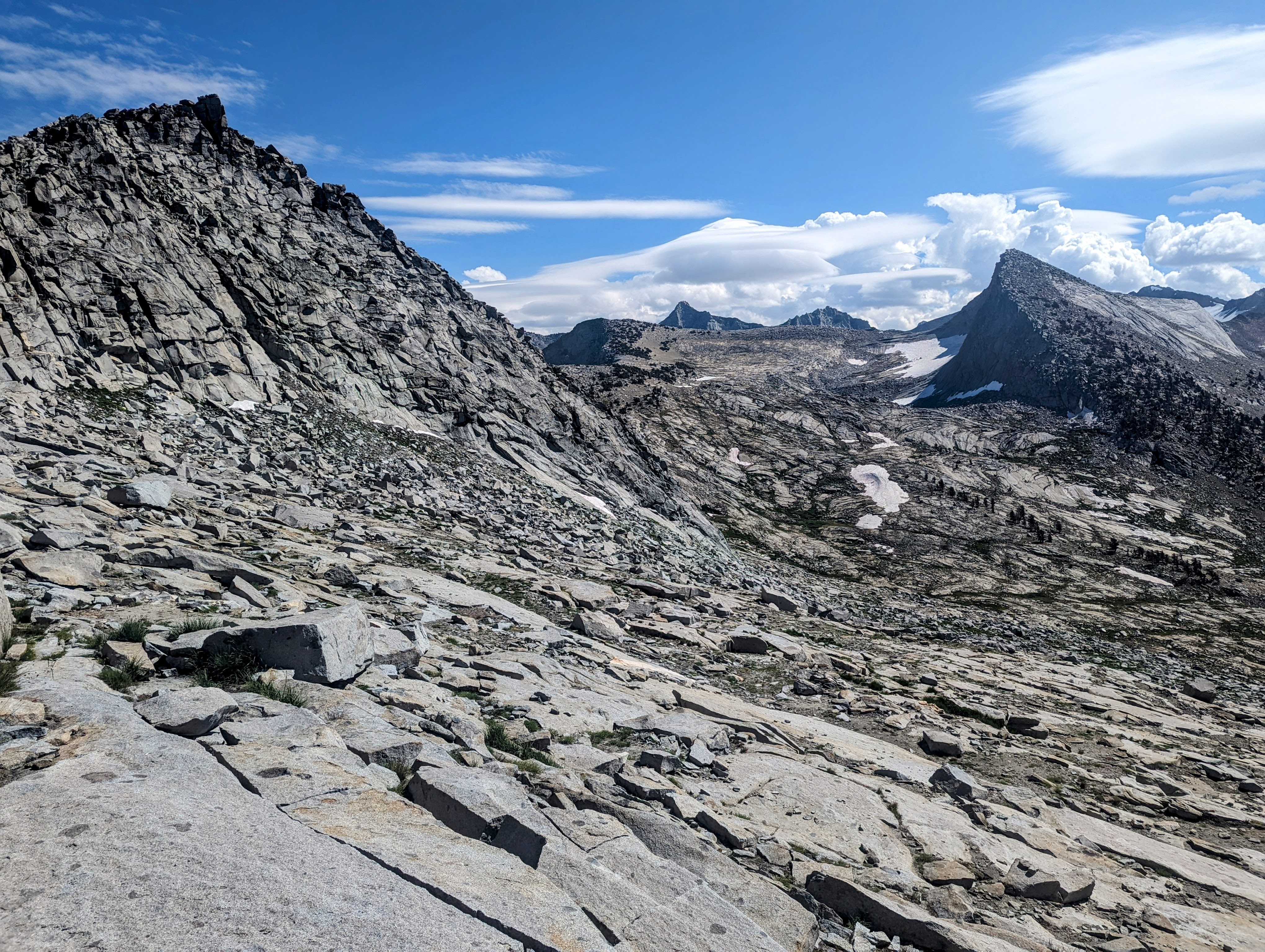
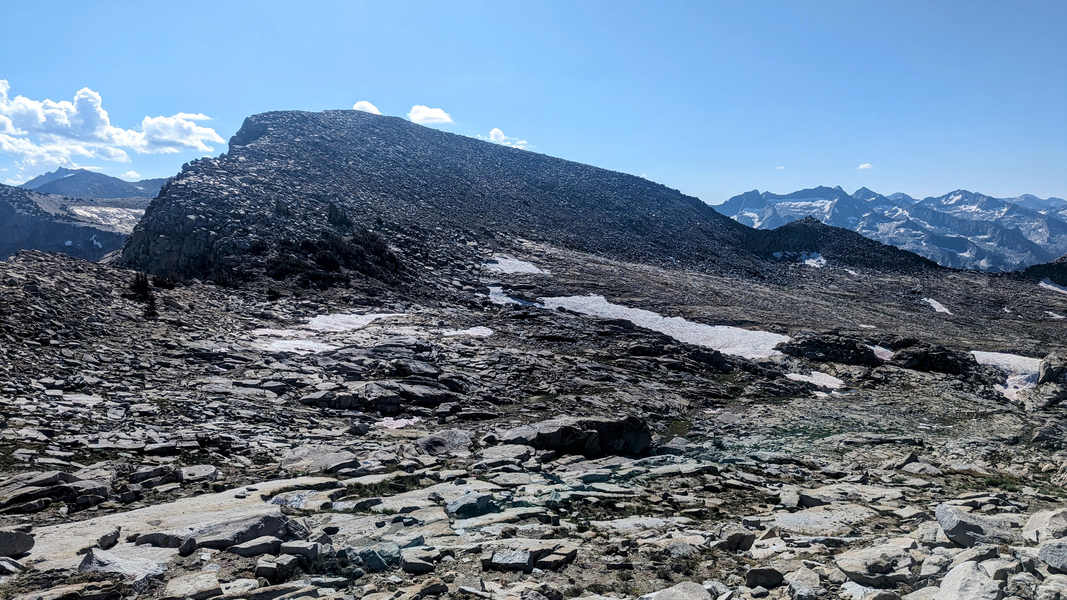
Day 2 I followed the Kings-Kaweah Divide over Pterodactyl Pass to Lonely Lake.
Image
Pterodactyl Pass on far right

Image
Approach to Lonely Lake

Image
Lonely Lake

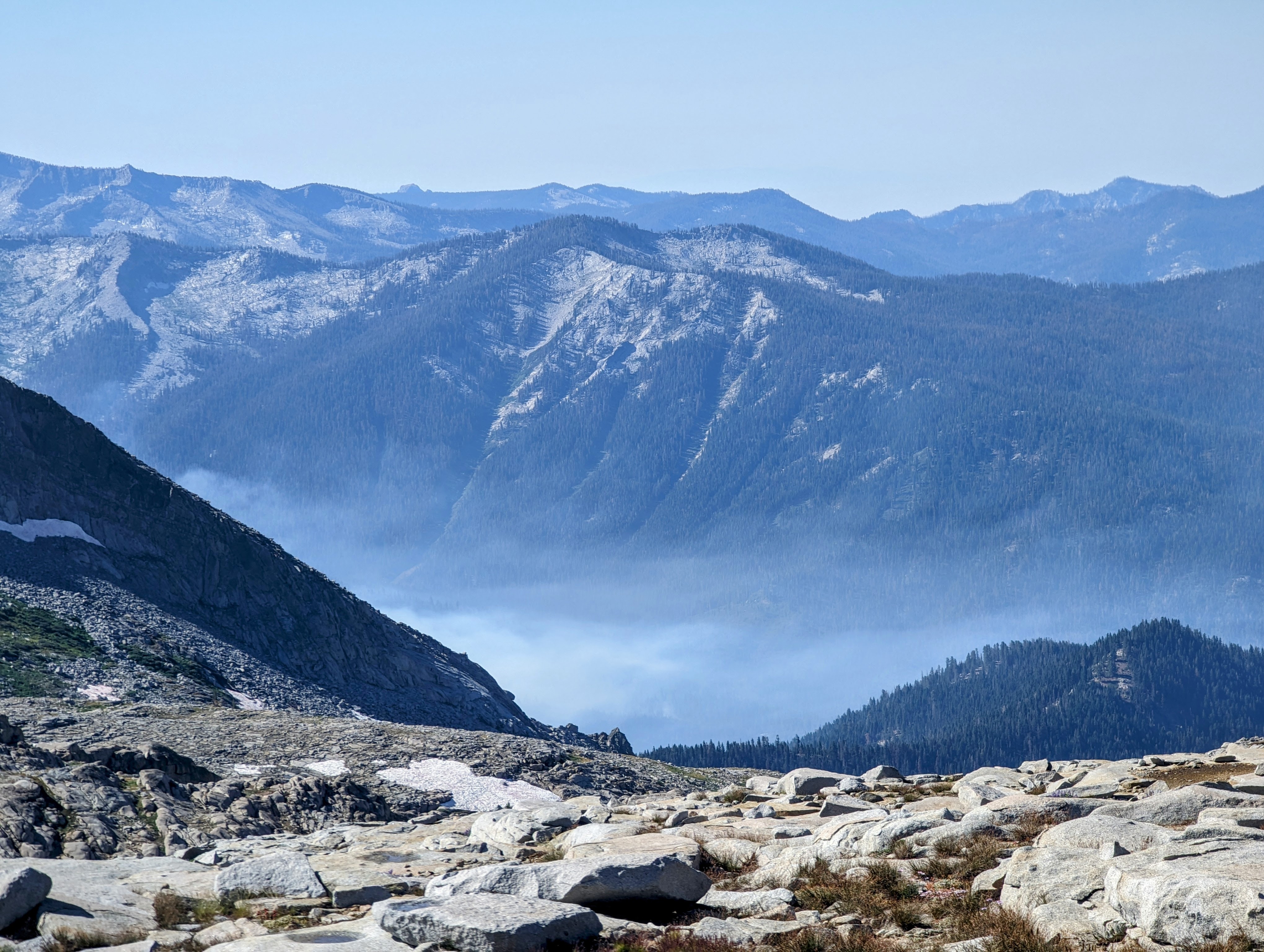
Smoke from the Redwood Grove Fire burned in the valley below.
Image
Redwood Grove Fire

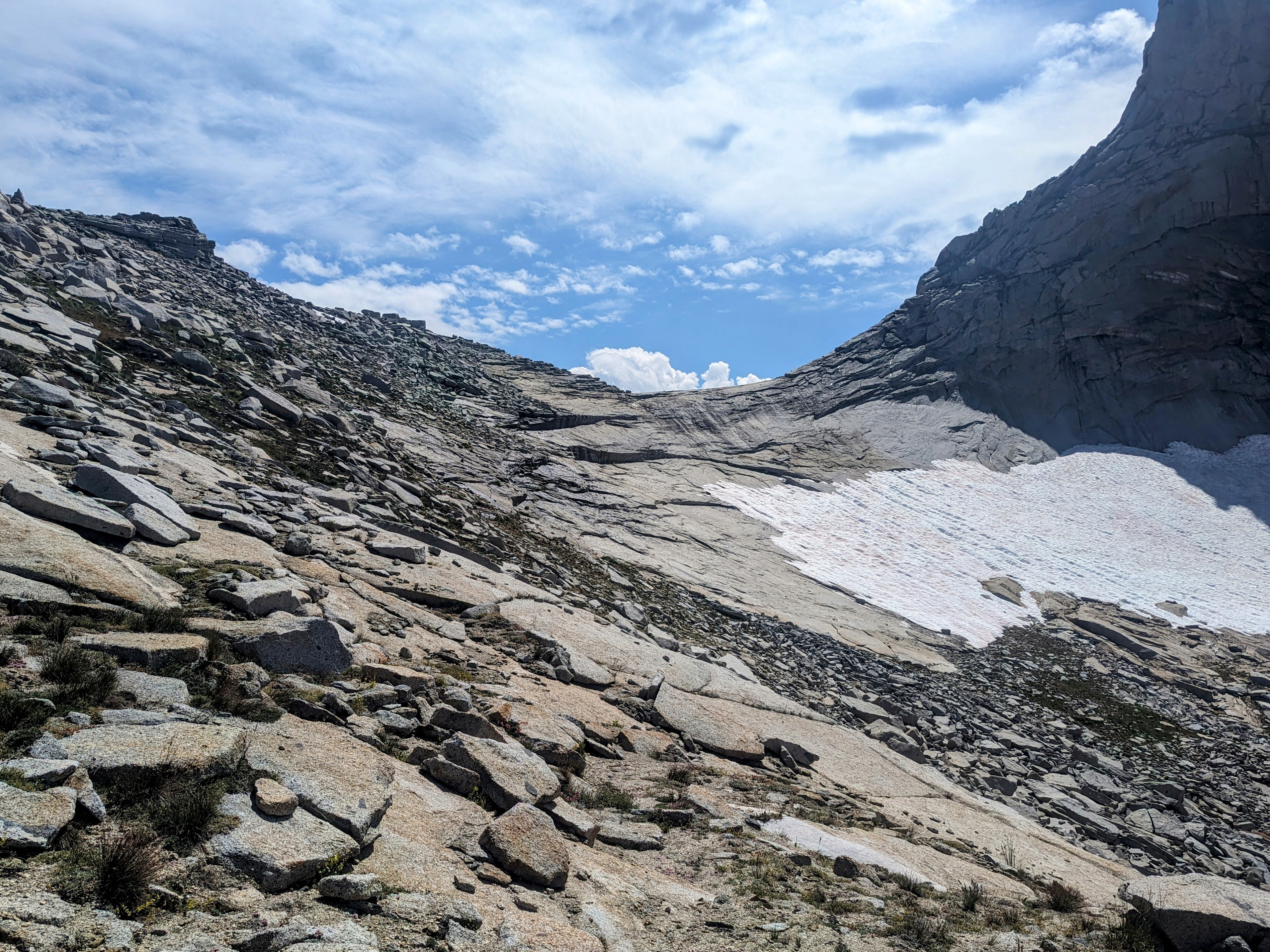
Horn Col has a cornice on it, but it was easy to get around it on the south side.
Image
Horn Col

Image
Small cornice on Horn Col

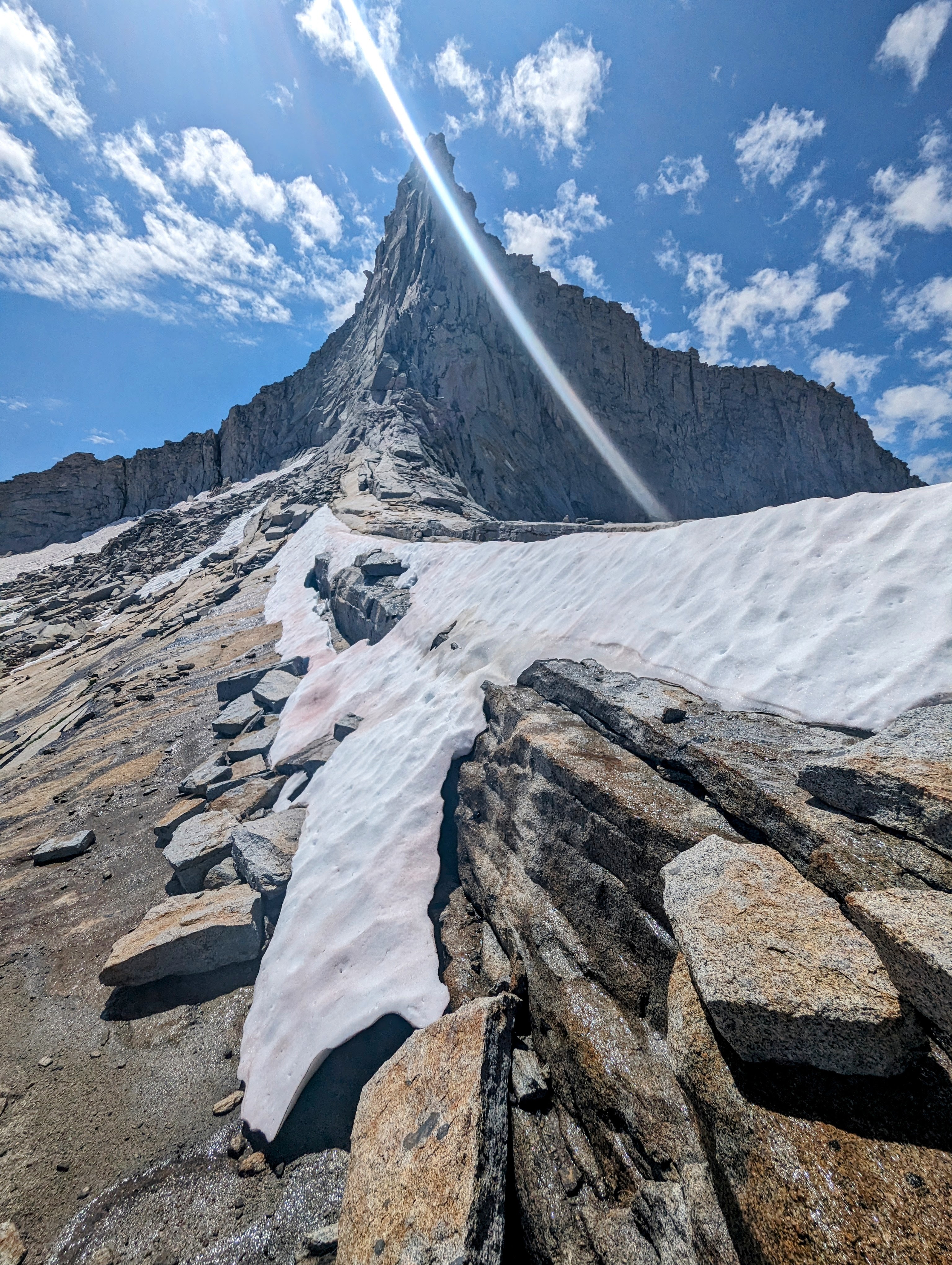
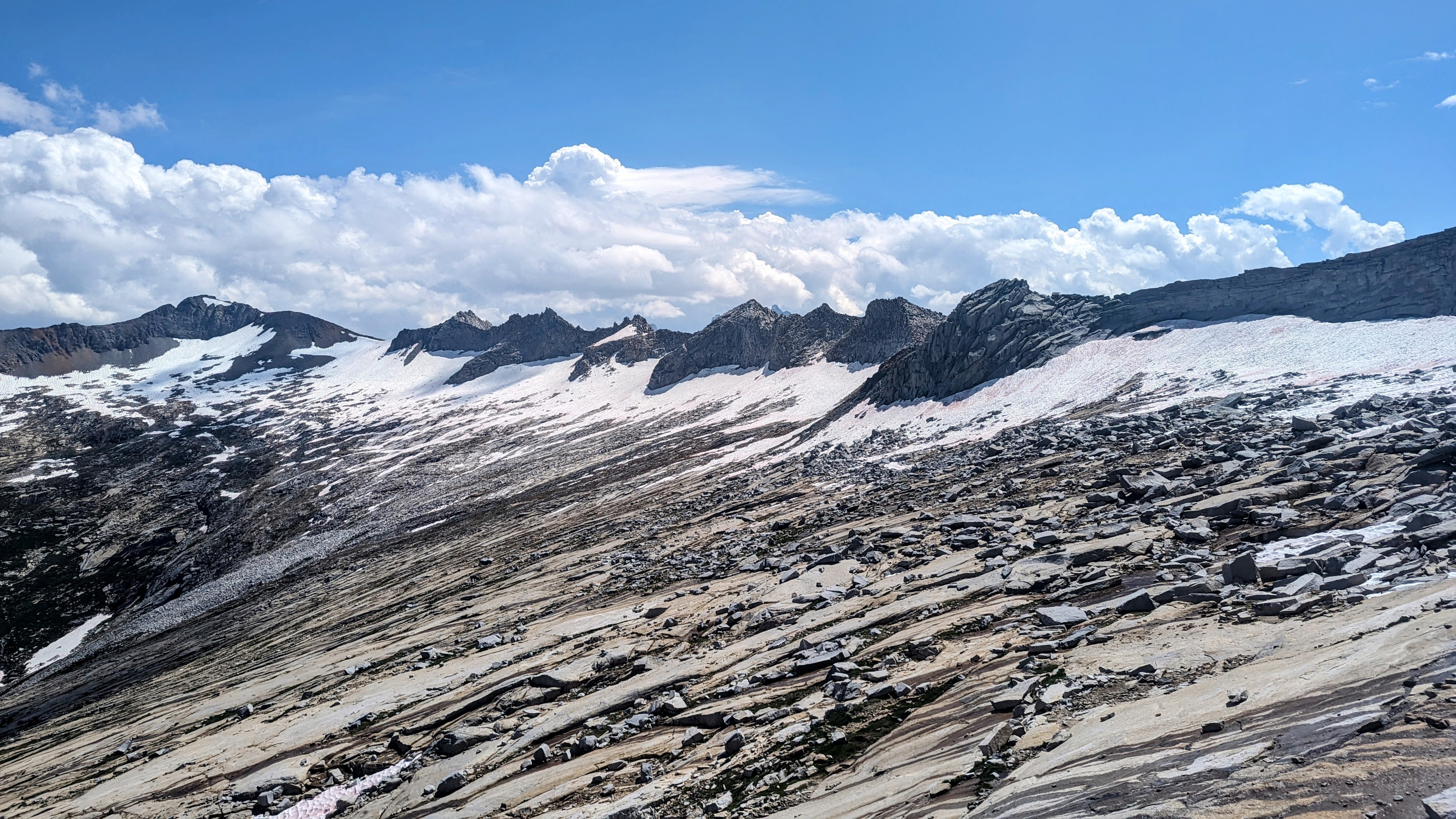
Coppermine Pass had a huge cornice on it, so I changed my route to follow the Elizabeth Pass Trail down to Roaring River Ranger Station. If I had approached the cornice I might have found a workaround, but later that day I spoke with a ranger who said the descent down into Cloud Canyon would likely have been even more difficult.
Image
Upper Deadman Canyon, Coppermine Pass is the peak on the left, and its entry point is the cornice below it and to the right
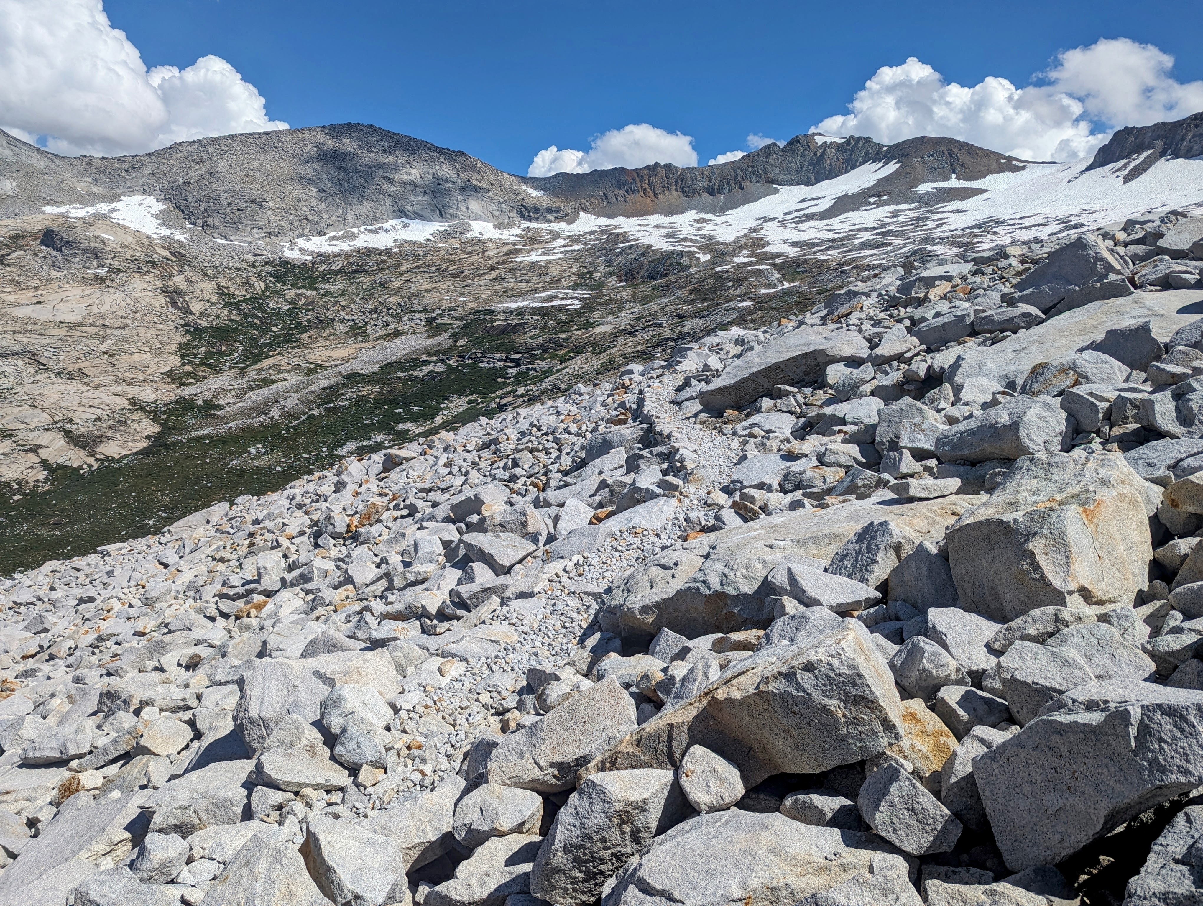
Image
Another shot of the Coppermine Pass cornice at upper right from the Elizabeth Pass Trail

The route down the Elizabeth Pass Trail was buggy (level 3), wet, and choked with blowdowns that sometimes put me off trail for up to 20 minutes at a time.
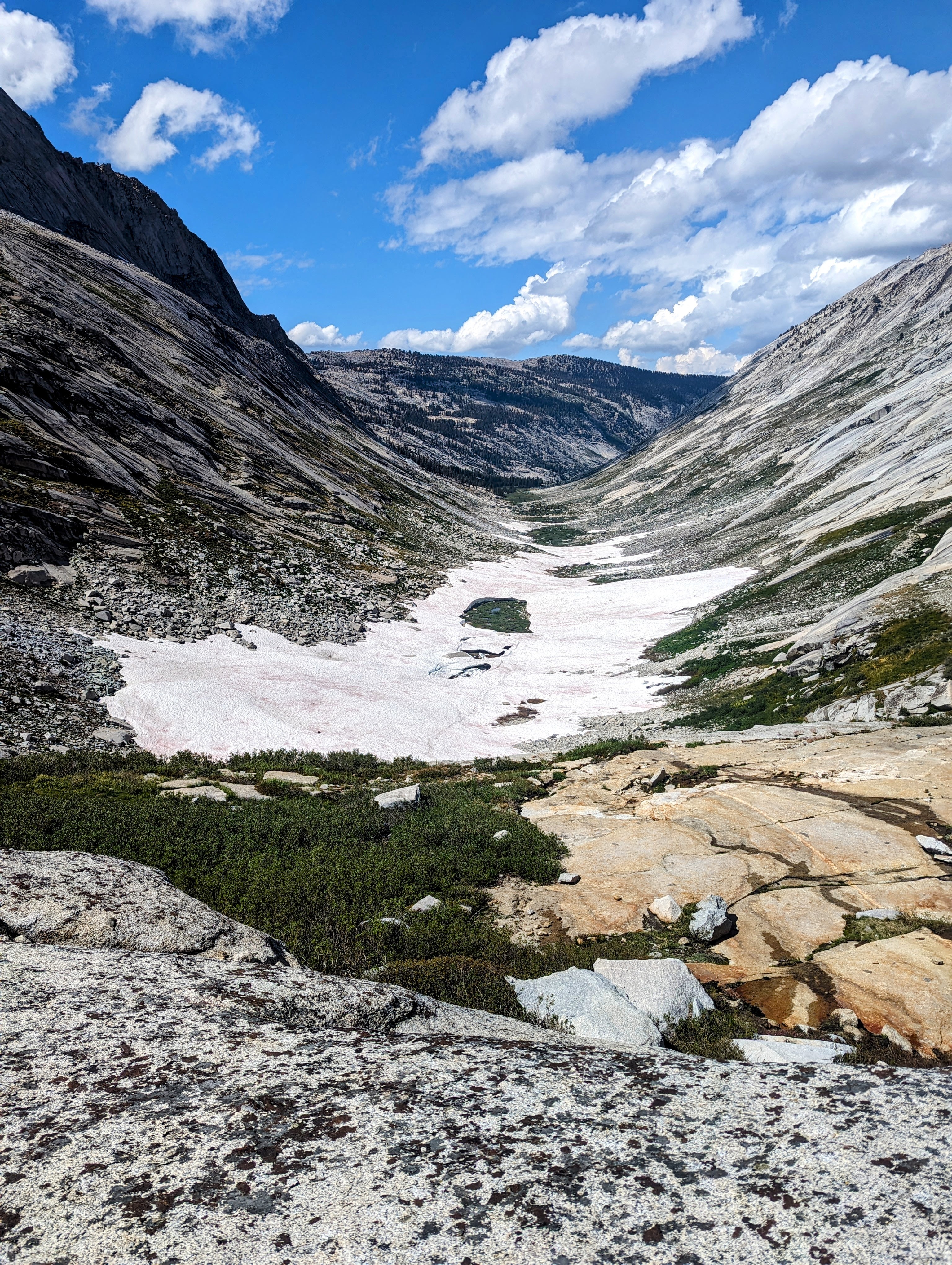
Image
Snow fields at 9,000 feet in Deadman Canyon
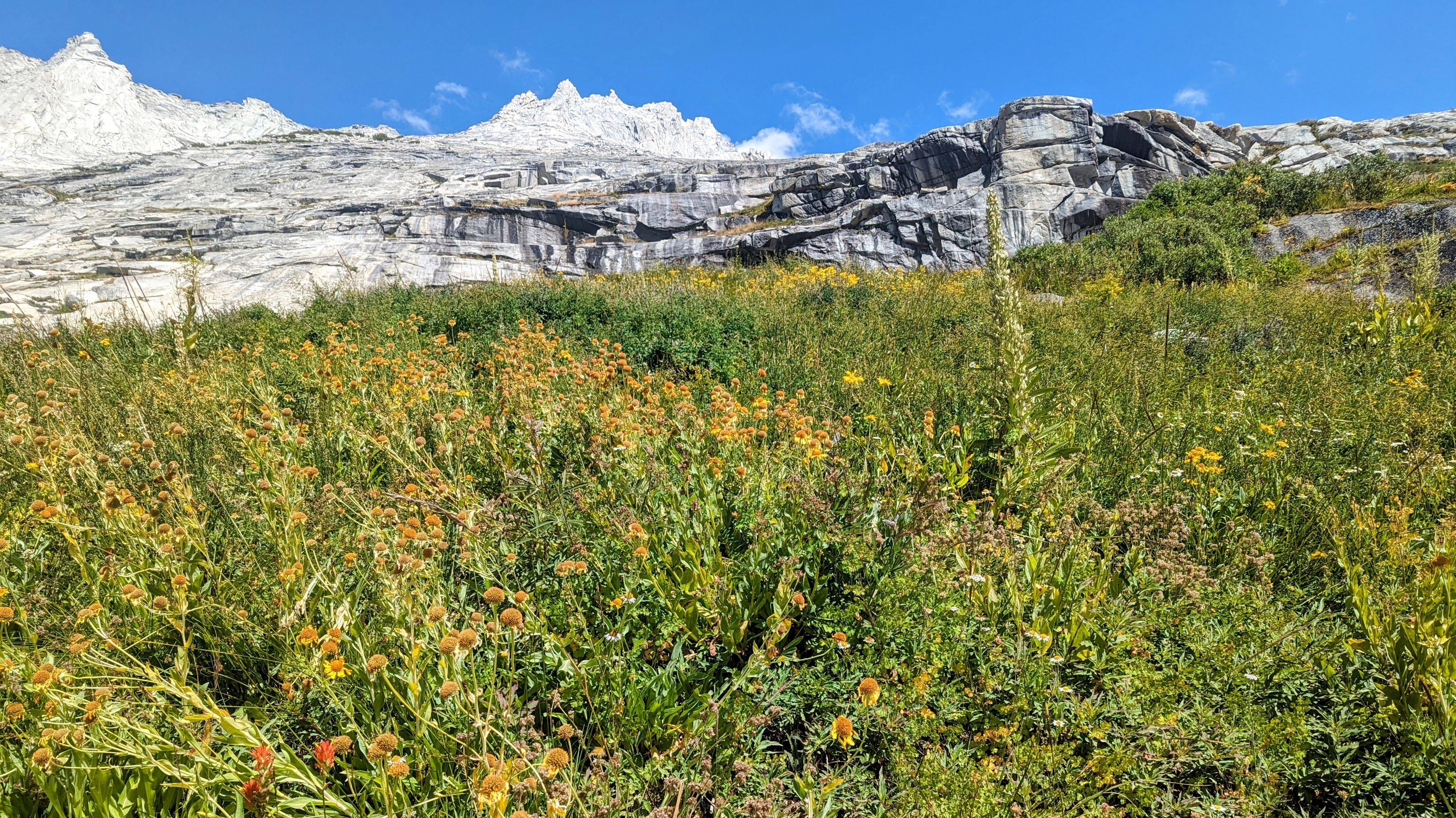
Image
Switchbacks through a vertical swamp

Image
Blowdowns all the way to the Roaring RIver Ranger Station

And it rained on me again starting at Ranger Meadow, but calmed down by the time I got to the slightly-less-buggy (level 2) Roaring River.
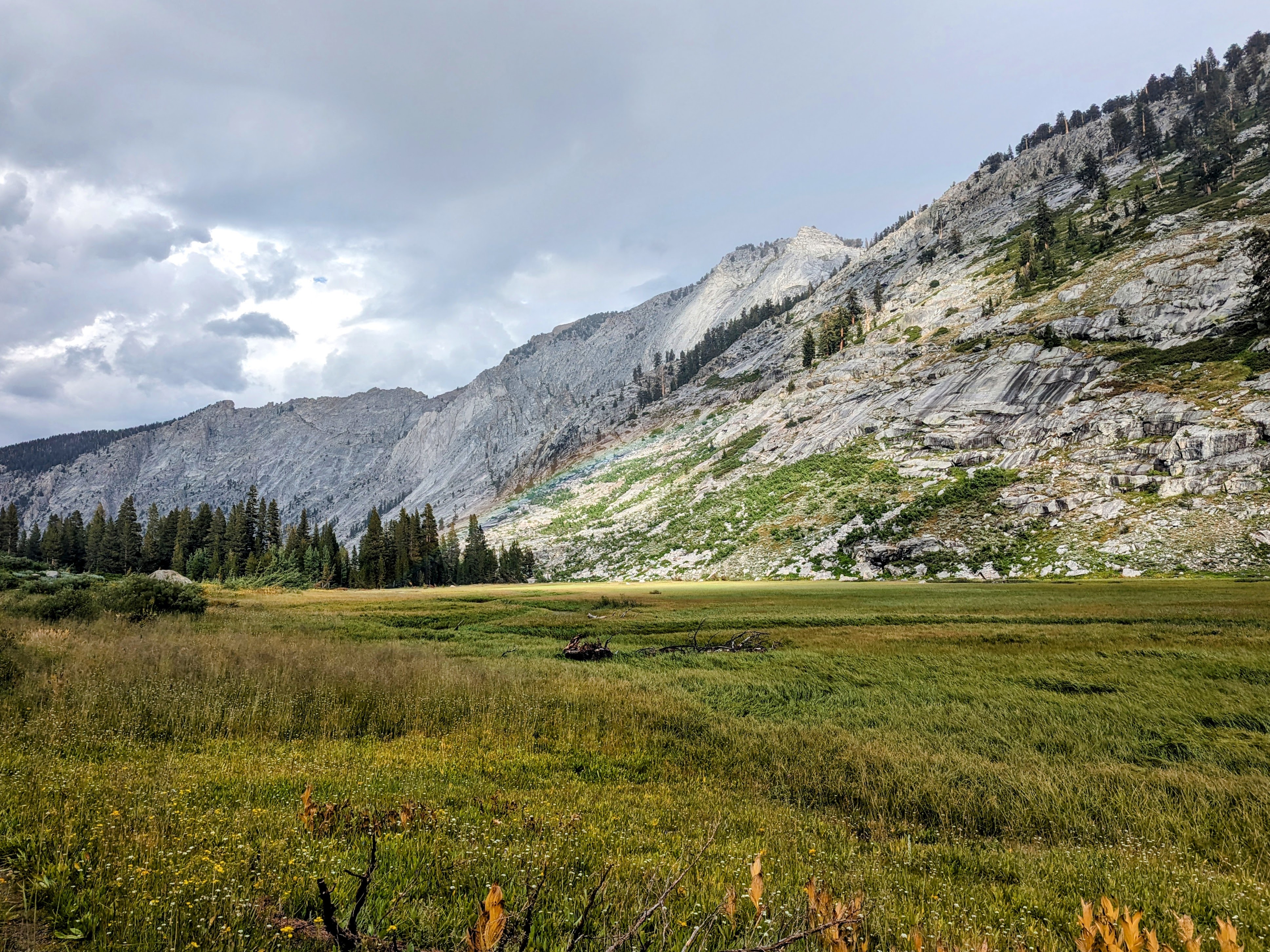
Image
Subtle Rainbow at Ranger Meadow

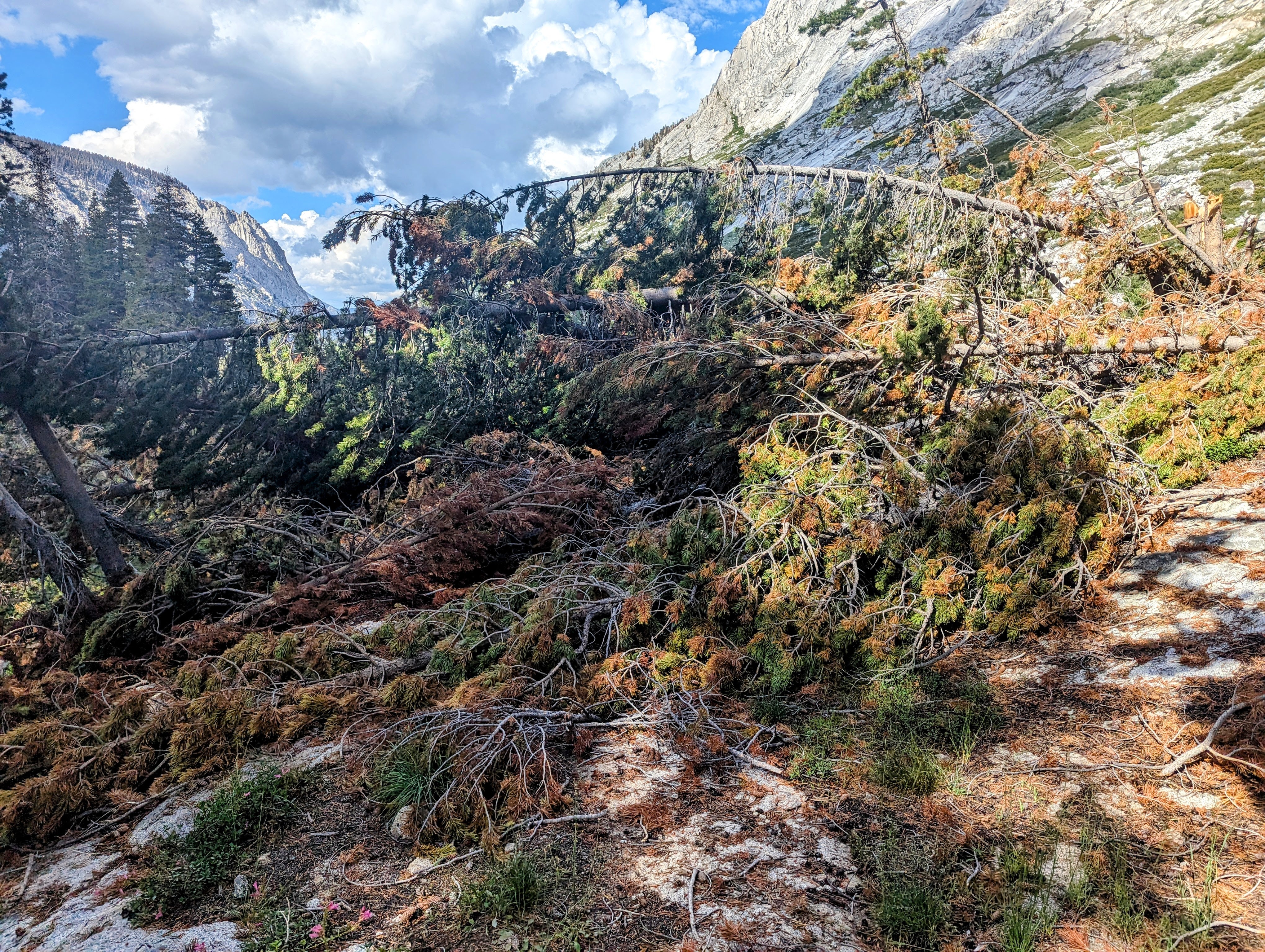
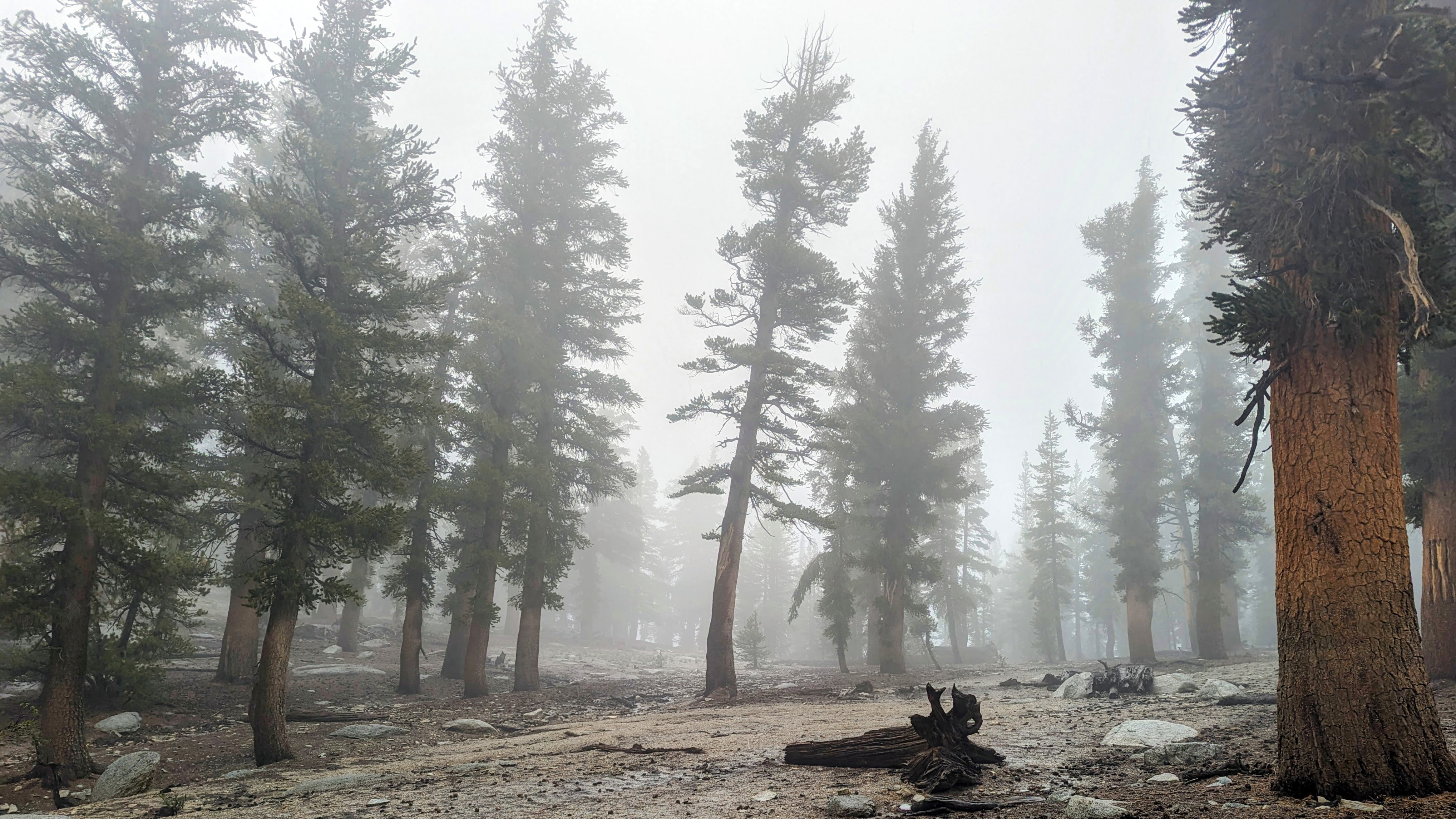
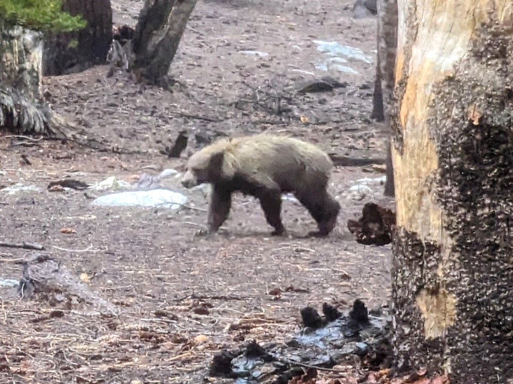
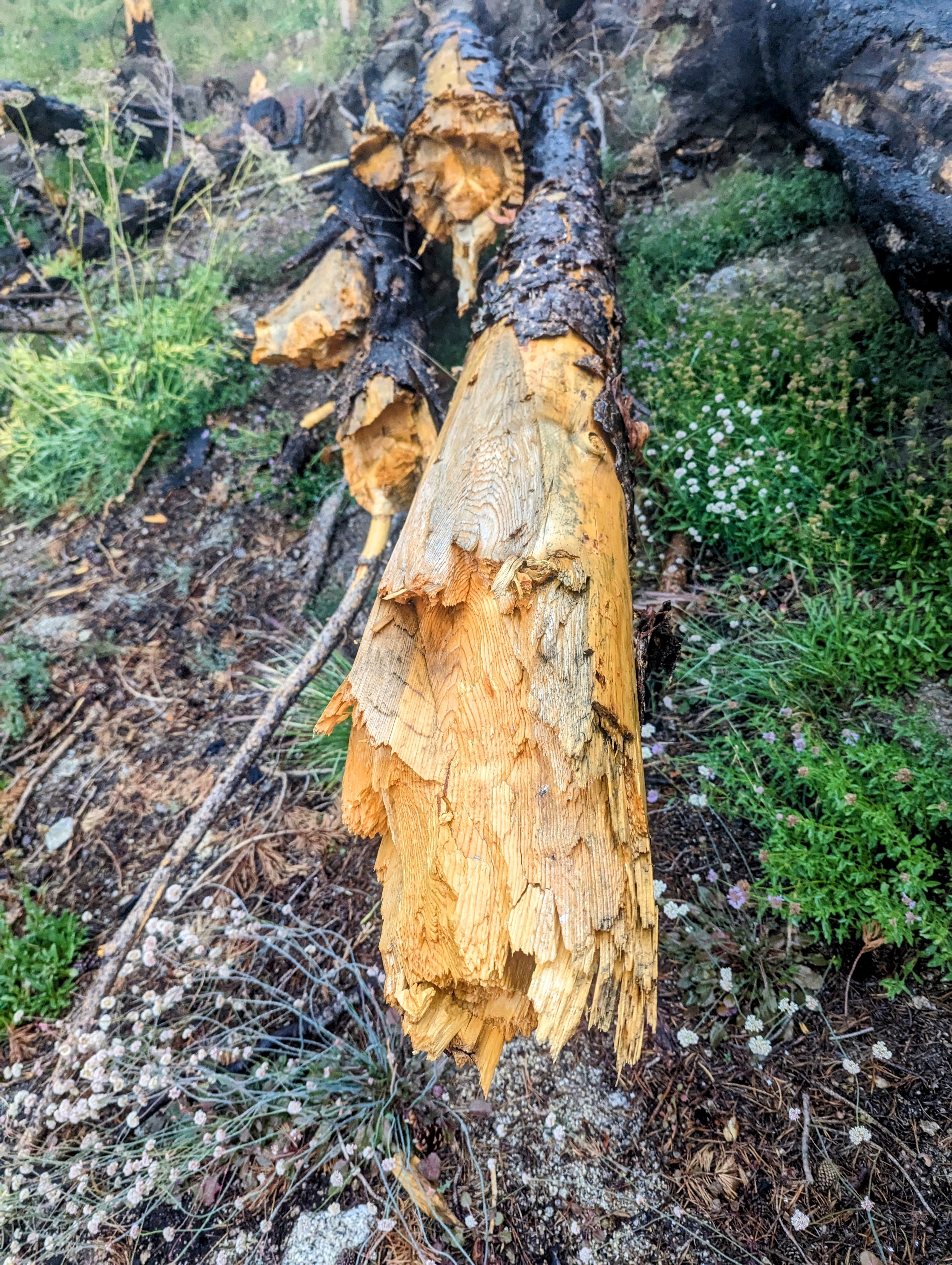
Day 3 it rained on me all morning going over Avalanche Pass, and the blowdowns continued to be a big problem, but the bugs were less severe (level 2) and I got to see a bear below the pass on the north side.
Image
Blowdowns

Image
Avalanche Pass

Image
bear!

Image
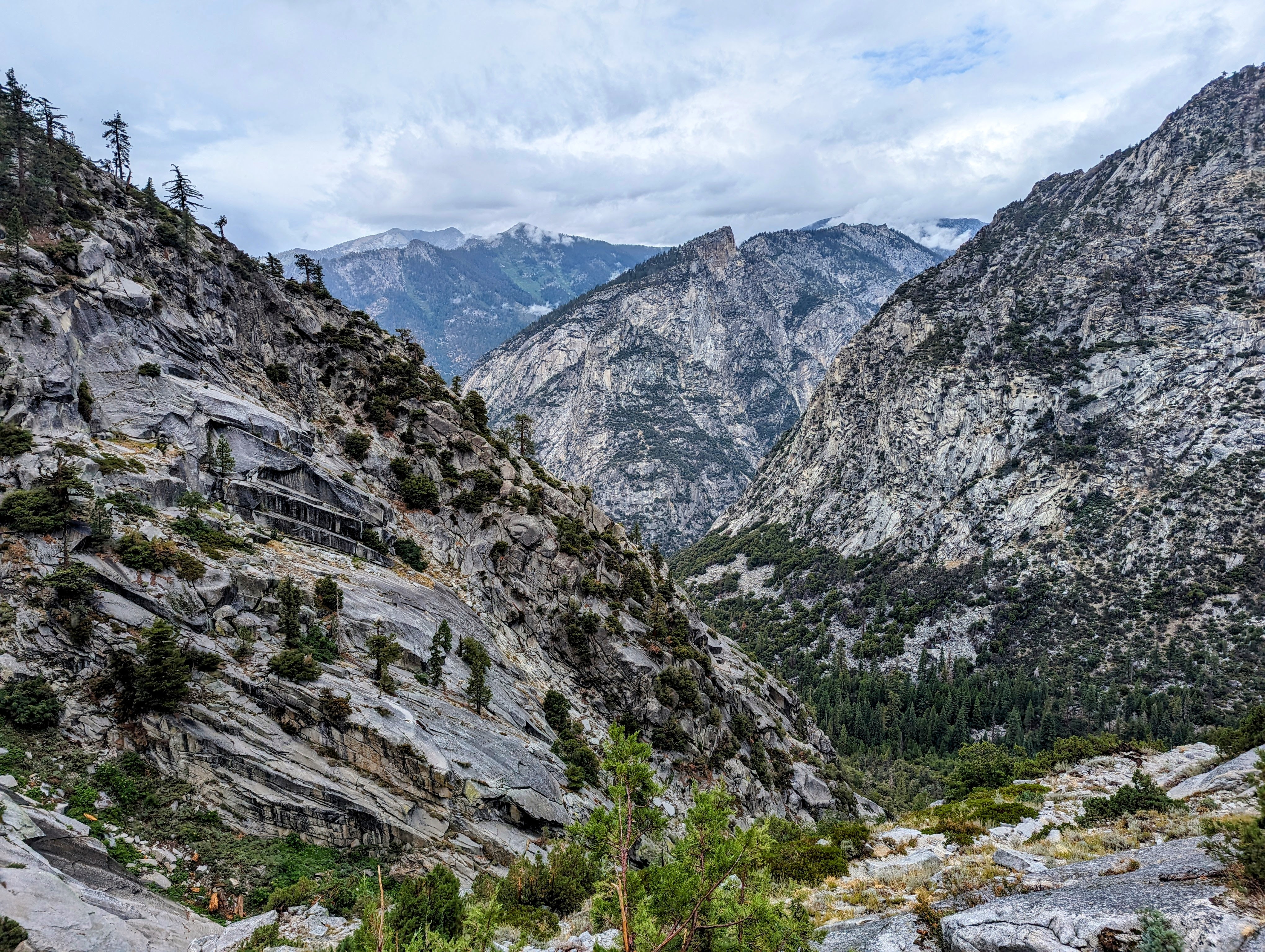
View towards Kings Canyon

Image
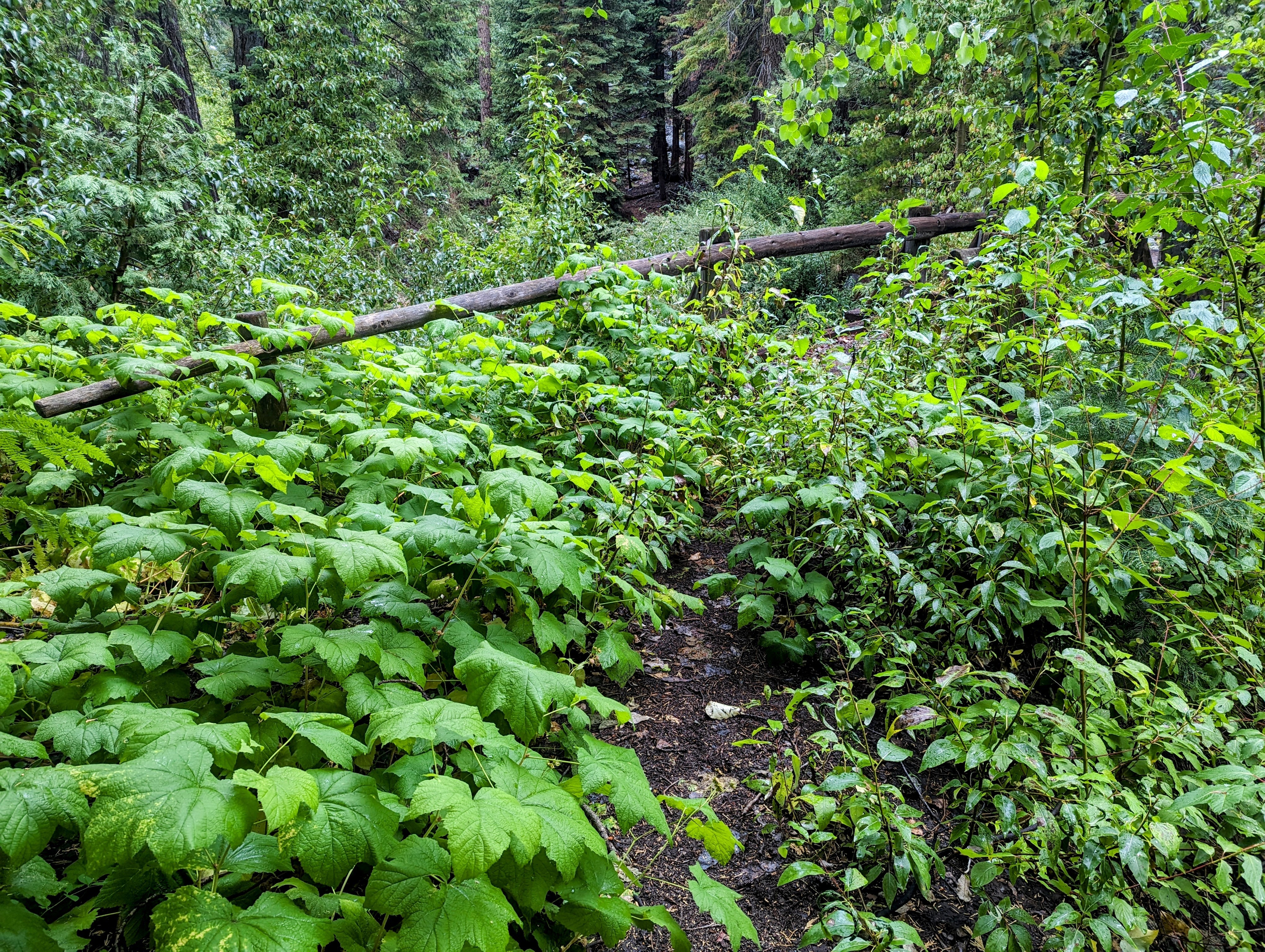
Overgrown Bubbs Creek footbridge

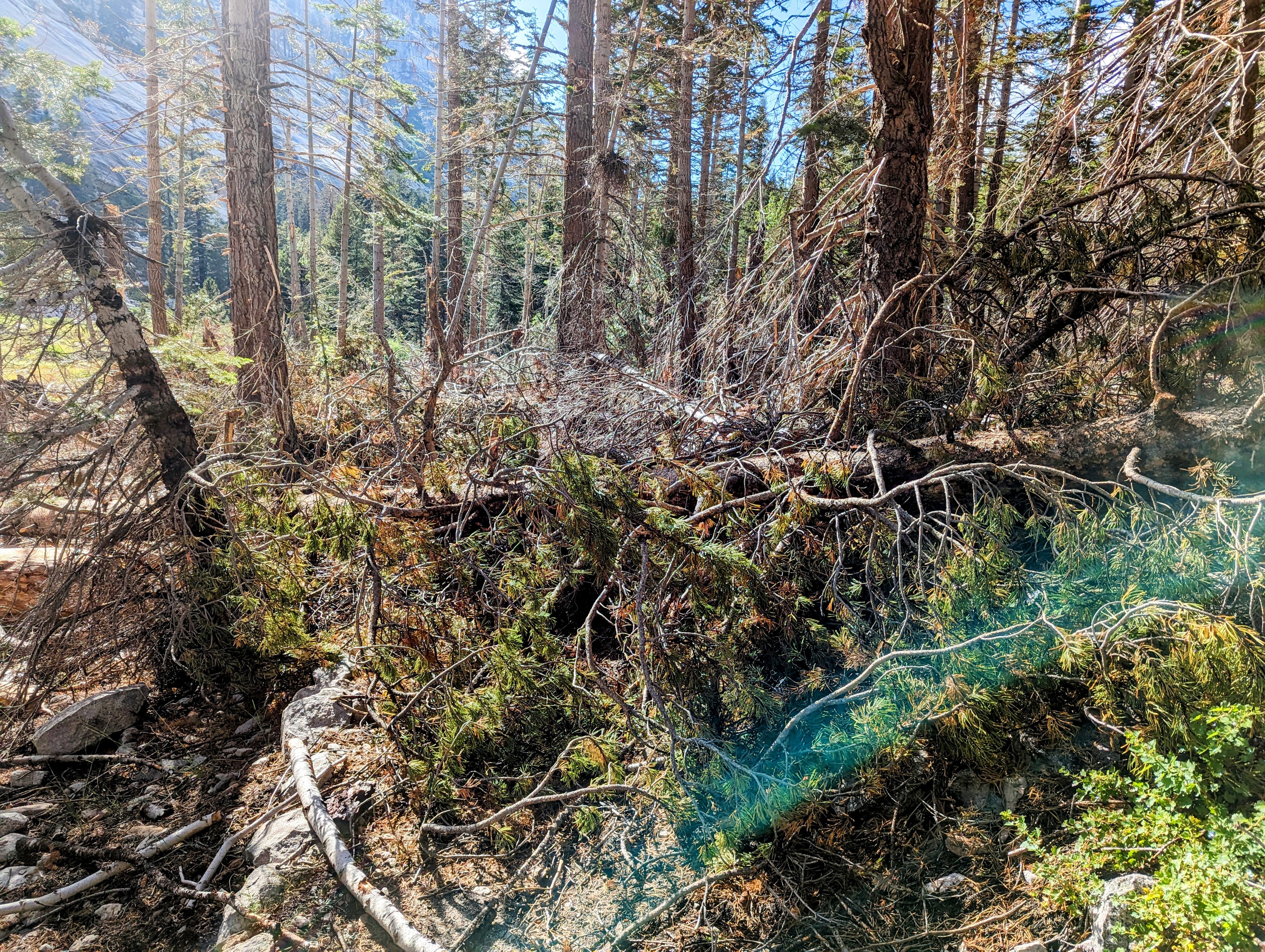
I expected the Bubbs Creek Trail to be busy and clear. But I was the only crazy person on it. Just me and 100 of my blowdown friends, all the way to Junction Meadow.
Image
The Bubbs Creek Trail is under there somewhere
Image
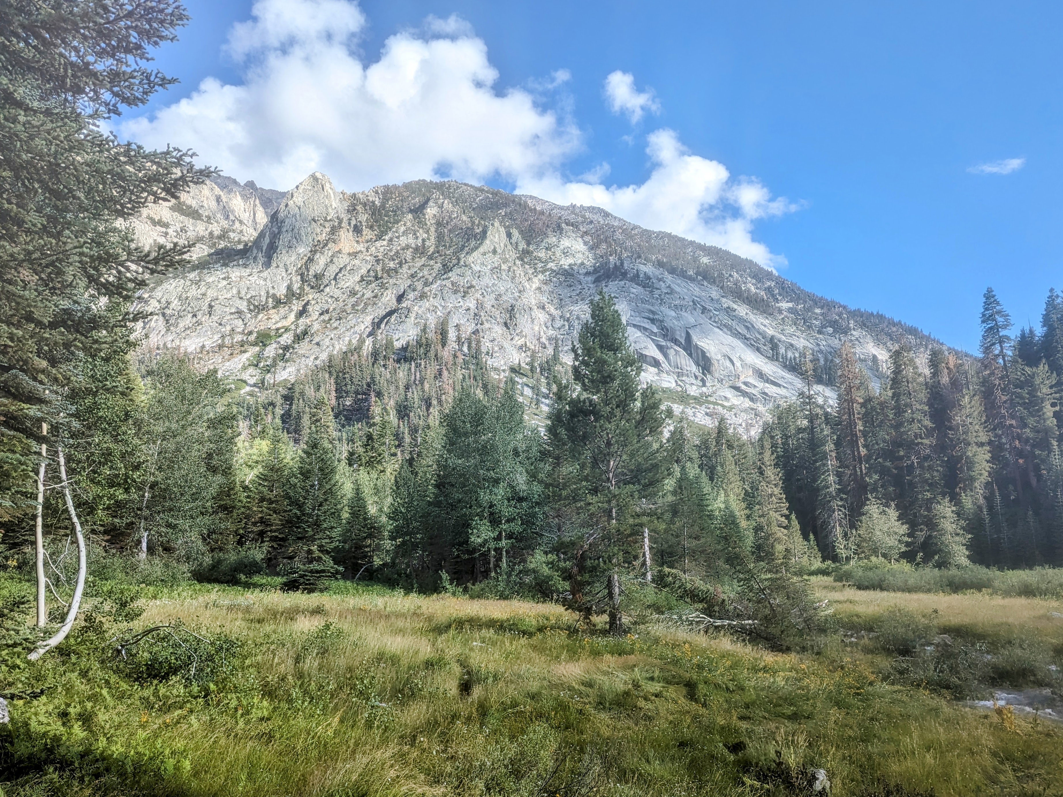
Junction Meadow

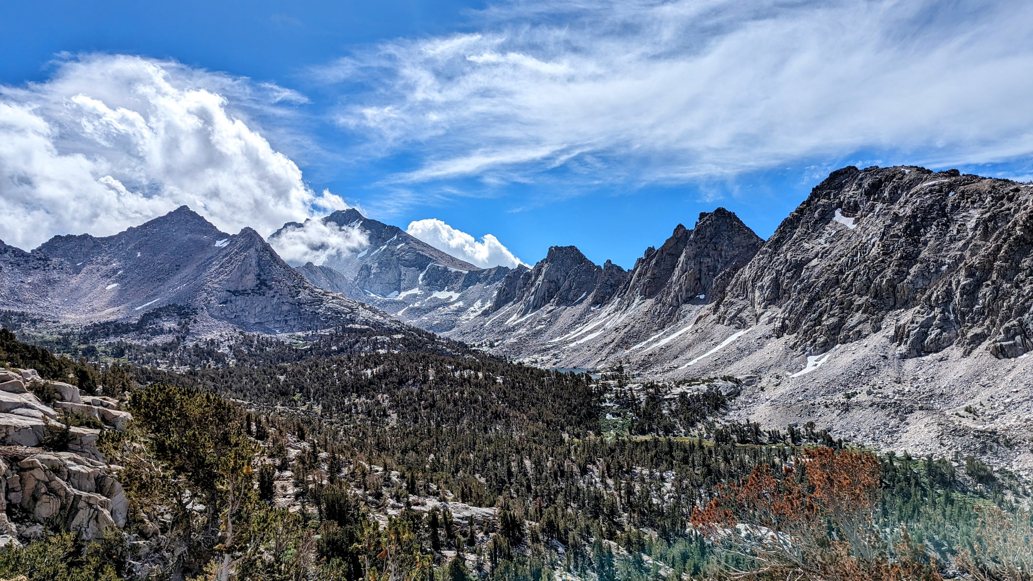
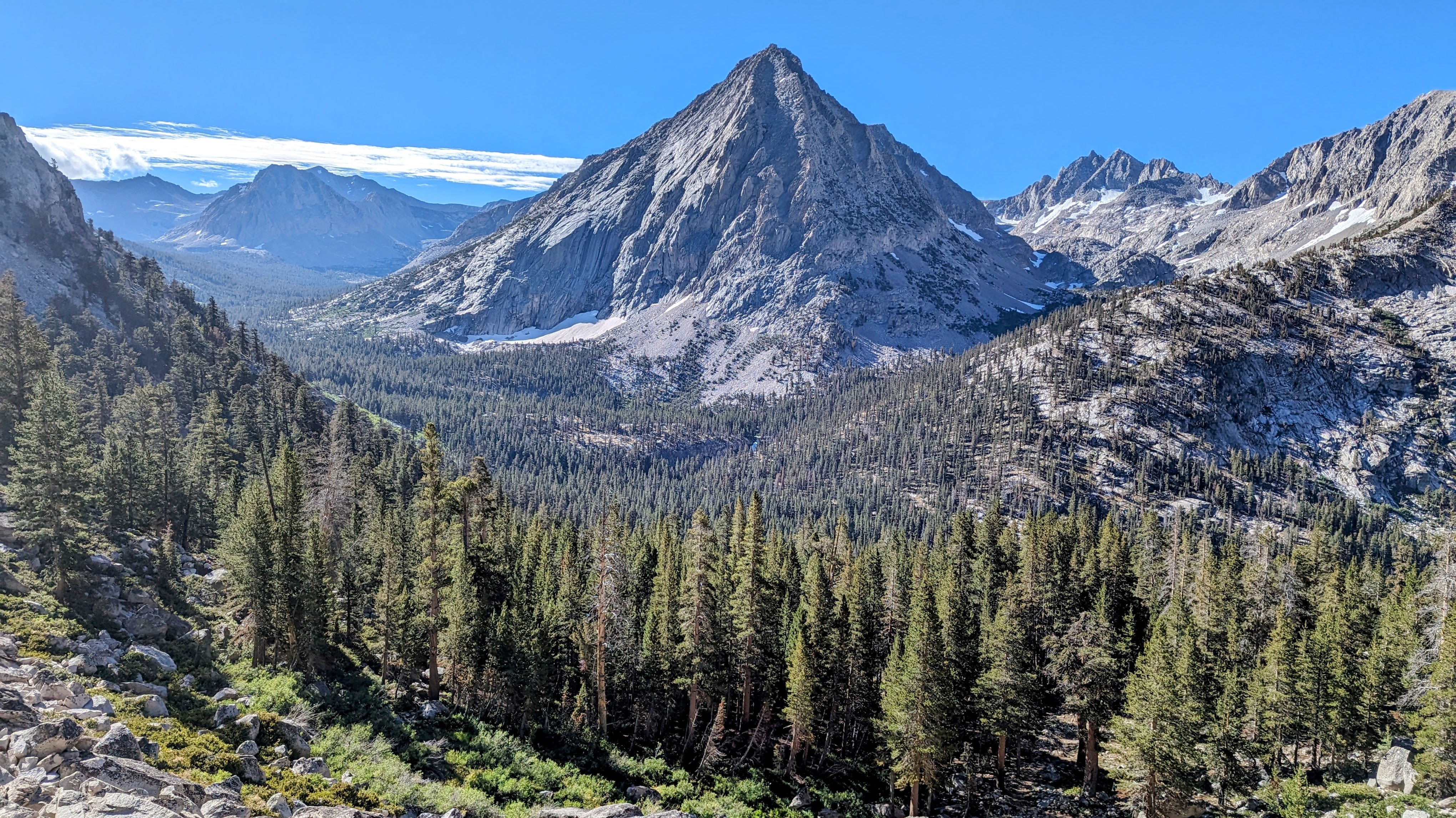
Day 4 up to the Kearsarge Pass Trail and out Onion Valley was, thankfully, rain and bug free. And I found all the hikers on the PCT/JMT. It was social and beautiful and for once it did not rain on me. An unexpectedly special morning for me, given I was expecting to be unimpressed since I have been through here so many times.
Image
East VIdette

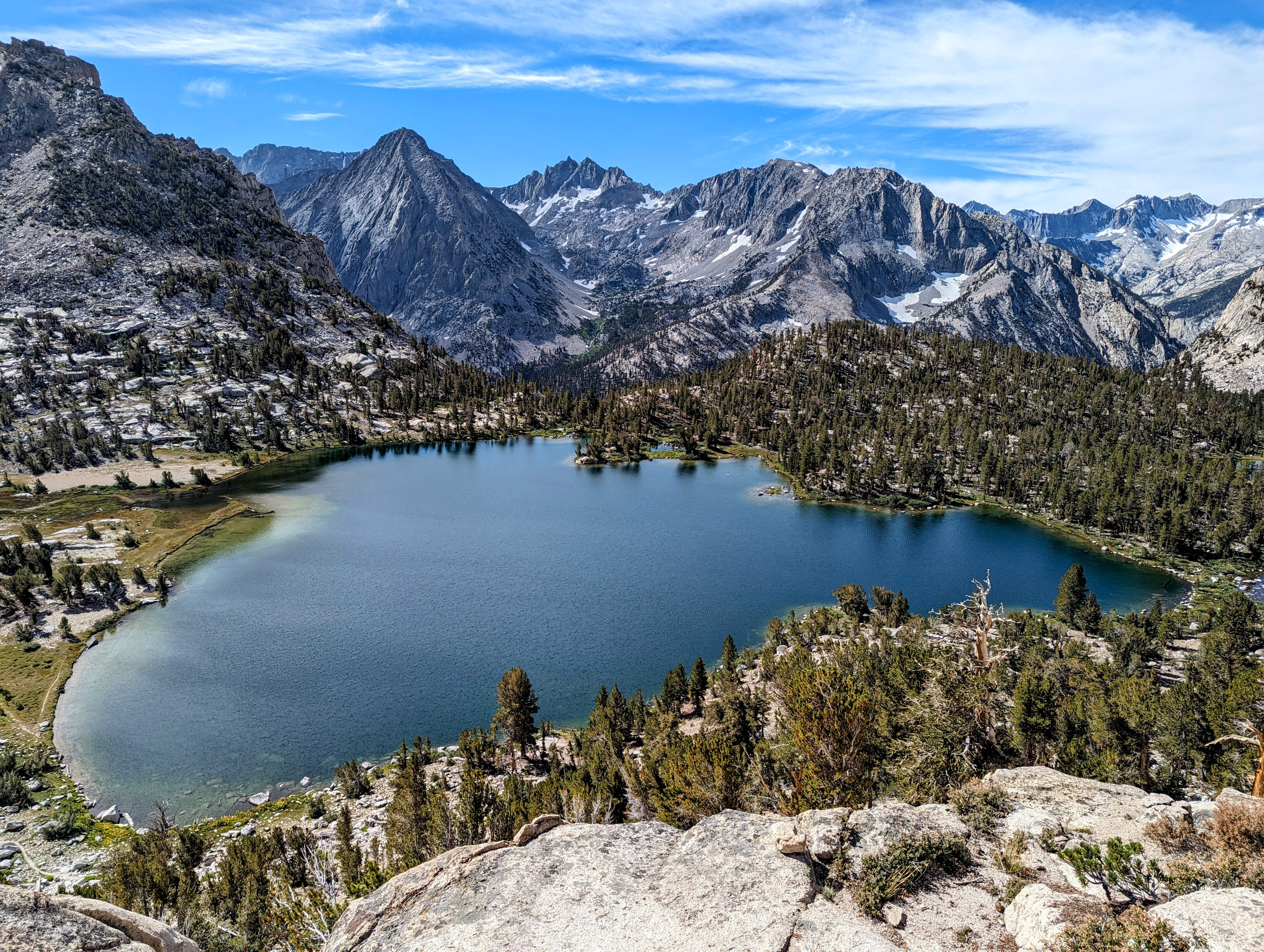
Image
Bullfrog Lake

Image
Kearsarge Pinacles

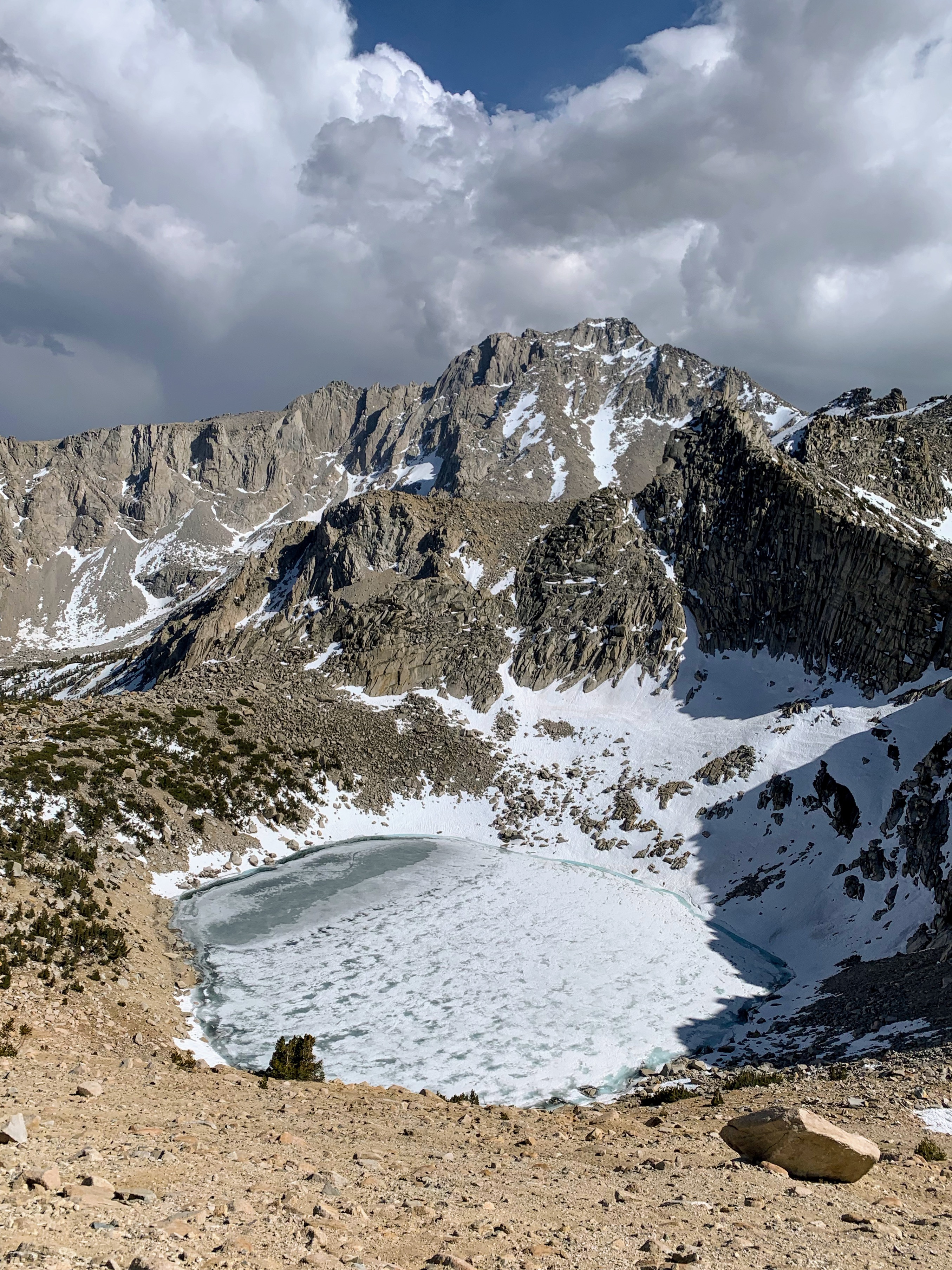
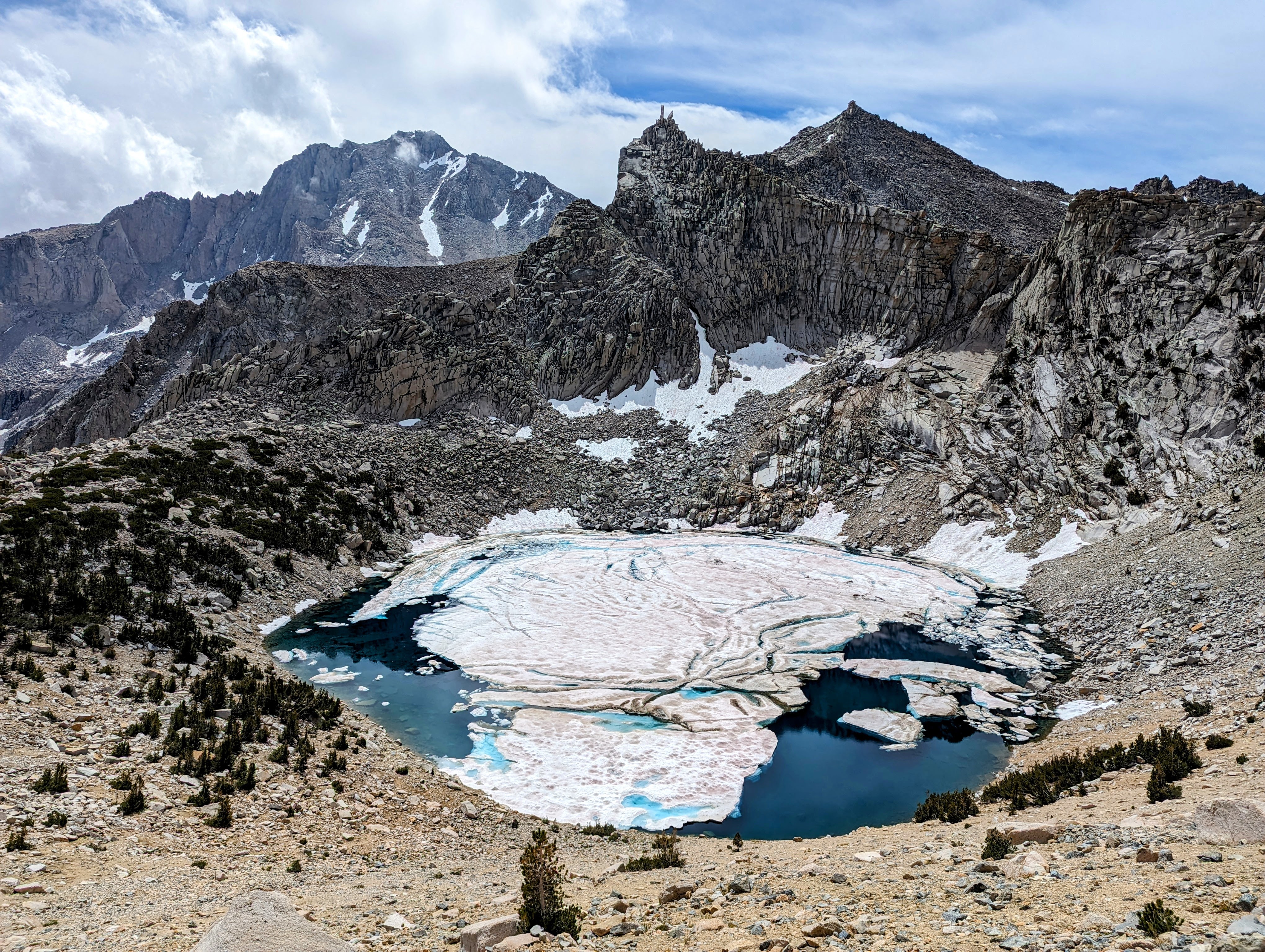
And for comparison, here are two shots of Big Pothole Lake below Kearsarge Pass. One from this trip and one from my trip in May 2021.
Image
Big Pothole Lake, 9/11/23

Image
Big Pothole Lake, 5/14/21

Overall I was really happy with this trip, even if I had to end up hiking low through the mess that is September of a very high snow year.
Last edited by jimmyjamhikes on Wed Sep 20, 2023 8:31 am, edited 1 time in total.
User avatar
balzaccom
Topix Addict
Posts: 2970
Joined: Wed Dec 17, 2008 9:22 pm
Experience: N/A

Re: TR: Silliman to Kearsarge 9/8-11/23

Post by balzaccom »

Great report and really nice photos. thanks for posting this. You really covered some miles. I've done some of the same trails...but over the space of three different trips!
Check our our website: http://www.backpackthesierra.com/
Or just read a good mystery novel set in the Sierra; https://www.amazon.com/Danger-Falling-R ... 0984884963
User avatar
windknot
Topix Fanatic
Posts: 1935
Joined: Wed Aug 16, 2006 10:07 pm
Experience: Level 4 Explorer
Contact:

Re: TR: Silliman to Kearsarge 9/8-11/23

Post by windknot »

Beautiful photos, thanks for sharing! Your report is a good reminder that I need to find a way to spend more time in this area.
User avatar
wildhiker
Topix Fanatic
Posts: 1114
Joined: Tue Jul 26, 2011 4:44 pm
Experience: Level 4 Explorer
Location: Palo Alto, CA
Contact:

Re: TR: Silliman to Kearsarge 9/8-11/23

Post by wildhiker »

Very nice photos! Amazed to see how much snow you encountered. I went up Deadman Canyon and over Horn Col to Lonely Lake in August of 2017, another heavy snowpack year, but had no snow anywhere on my route.
-Phil
User avatar
kpeter
Topix Fanatic
Posts: 1450
Joined: Mon Jan 04, 2010 1:11 pm
Experience: Level 3 Backpacker

Re: TR: Silliman to Kearsarge 9/8-11/23

Post by kpeter »

I love your Bullfrog lake shot. Shocking to see so much ice in Big Pothole on 9/11! Were the blowdowns mainly from last winter and just no trail crews, or was there a fresh batch of blowdowns after the latest storm?
User avatar
thegib
Topix Regular
Posts: 295
Joined: Thu Oct 25, 2012 11:37 pm
Experience: Level 4 Explorer
Location: Berkeley

Re: TR: Silliman to Kearsarge 9/8-11/23

Post by thegib »

Great report @jimmy, Q: Why Siliman pass and not the Pear Lake Walk-thru permit? I've always thought the latter was more direct to get to lake 10410' and Horn Col. Not that direct is the point.
User avatar
jimmyjamhikes
Topix Regular
Posts: 116
Joined: Wed Jun 01, 2016 9:00 am
Experience: Level 4 Explorer
Location: San Diego, CA
Contact:

Re: TR: Silliman to Kearsarge 9/8-11/23

Post by jimmyjamhikes »

Thanks everyone!

@kpeter, the blowdowns seemed fresh, but I couldn't tell if it was weeks or months since they had been there. the worst sections were very likely due to avalanches from the winter.

@thegib Silliman Lake was on my list. I've done the Pear Lake pass through before, and I will probably go that way from now on.
User avatar
Wandering Daisy
Topix Docent
Posts: 6689
Joined: Sun Jan 24, 2010 8:19 pm
Experience: N/A
Location: Fair Oaks CA (Sacramento area)
Contact:

Re: TR: Silliman to Kearsarge 9/8-11/23

Post by Wandering Daisy »

Those were some seriously long miles each day! Way over my capabilities. Your complete report was worth the read. It looked like early to mid-July conditions. I did Horn Col when it did have a cornice-- had to slither down a slot between ice and rock.

Just wondering, why you did not drop to Big Bird Lake instead. Perhaps you had already done that. Your description of Deadman Canyon and mosquitoes sound just like what I encountered in early July years ago. So glad the weather improved for your last day.

I had similar experiences with weather reports this summer, but in the Wind Rivers. In-Reach said 0% chance of rain/ it rained cats and dogs. In-Reach said 80% chance rain/no rain. I find the %humidity a better indicator of if it will rain or not.

 
User avatar
oddtiger
Topix Regular
Posts: 134
Joined: Thu Jan 25, 2018 5:45 pm
Experience: Level 4 Explorer
Location: Los Angeles, CA

Re: TR: Silliman to Kearsarge 9/8-11/23

Post by oddtiger »

Great trip report and the overgrown bubbs creek is so unreal! Thanks for sharing. I was wondering how Kings canyon would look like without people. At least it's a wildlife paradise for a year and maybe longer!
User avatar
LMBSGV
Topix Fanatic
Posts: 1015
Joined: Sat Oct 27, 2007 8:42 pm
Experience: Level 4 Explorer
Location: San Geronimo, CA
Contact:

Re: TR: Silliman to Kearsarge 9/8-11/23

Post by LMBSGV »

I finally had the time to read and look at the great photos in the longer version on your website. As WD said, you really put in the miles. You did a wonderful job of improvising due to the snow and weather. As oddtiger said, seeing the Bubb’s Creek Trail so overgrown was fascinating. It makes us all appreciate the trail maintenance we tend to take for granted.
I don’t need a goal destination. I need a destination that meets my goals.

http://laurencebrauer.com
Post Reply

Who is online

Users browsing this forum: Bing [Bot] and 115 guests