
This is all familiar territory to most of this group, so there's nothing particularly noteworthy here. Just letting you know in advance!
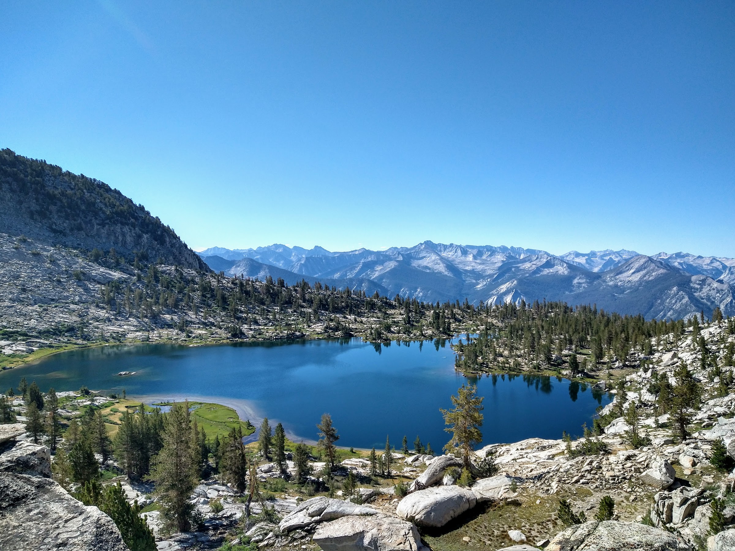
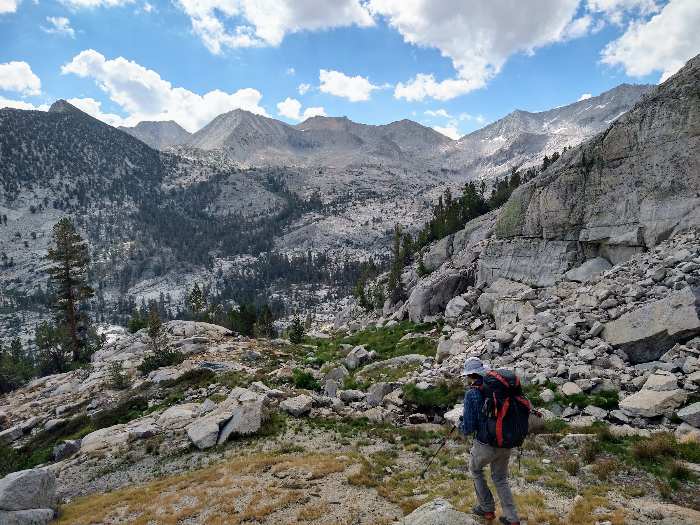
Day 1: Roads End to Grouse Lake, about 9 miles. This is the second year in a row we hiked up the Copper Creek Trail. Last year it was overcast and threatening rain all day; this year it was sunny and warm/hot. The previous night spent car-camping in Cedar Grove was uncomfortably warm. Despite starting as early as humanly possible with a teenager, about 7am, the sun was still upon us within 45 minutes. But we were able to gain altitude quickly and early enough so that it was never too bad. The trail has a bad reputation with some but it is remarkably well-constructed, with a steady, hikeable grade. I actually like it. Given that you have to climb 5000+ feet, it’s the perfect steepness. We reached the junction to Grouse Lake a little after 11am. After lunch in the meadow below the lake, we found a campsite on the ridge south of the lake early in the afternoon, leaving us lots of time to enjoy the lake and the scenery. Our camp was far from the lake but the views were amazing. We had a great vista of the Great Western Divide w/Mt. Brewer in the center, and also some Kaweah and King Spur peaks:

Day 2: Grouse Lake to northernmost Horseshoe Lake via the SHR, about 9 miles. This was a really enjoyable day. It was easy up to Grouse Lake Pass; a bit slower down to the Granite Creek headwaters before heading up to Goat Crest Saddle. Grouse Lake Pass had more of the same incredible views that we enjoyed from our previous night’s campsite (looking back at Grouse Lake):
Once reaching Goat Crest Saddle, we had our first views across the Middle Fork of the Kings, with upper Glacier Lake in the foreground:

The descent down to the upper Glacier Lake was straightforward. We saw a few folks on the opposite side of the lake but never got close to them. The lake was very pleasant:
From the lower Glacier Lake to Glacier Valley, we followed Roper's advice to head left into the trees and go down from there, which went well:
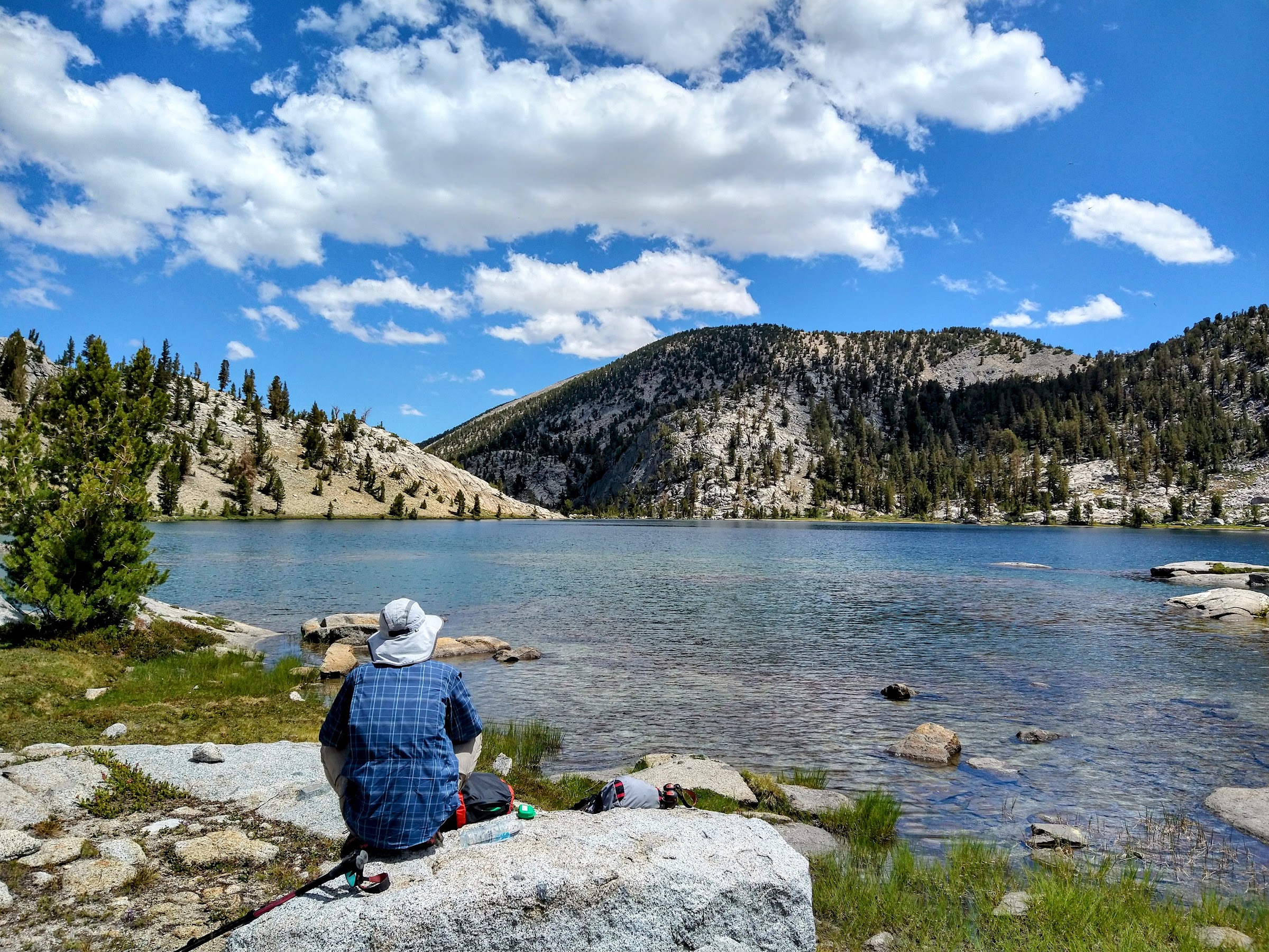
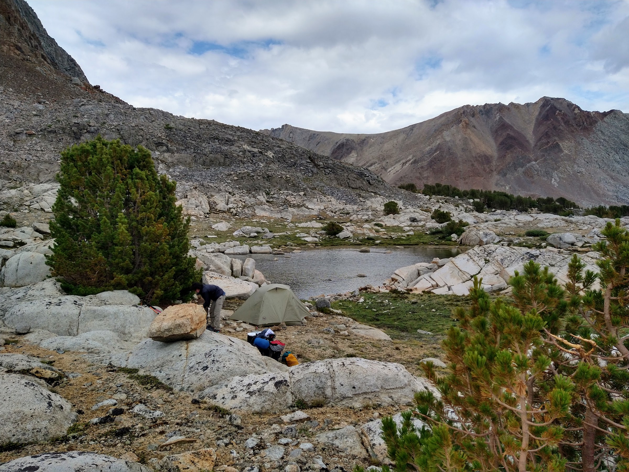
Glacier Valley was pretty dry but green. We quickly reached the State Lakes Trail and followed it to the Horseshoe Lakes junction, then onto Horseshoe Lakes. We saw the same group of people that we saw at Glacier Lake a couple more times; they were day-hiking from some undisclosed location. After this, we didn't see anybody again until we reached the JMT. We camped at the northernmost Horseshoe lake:

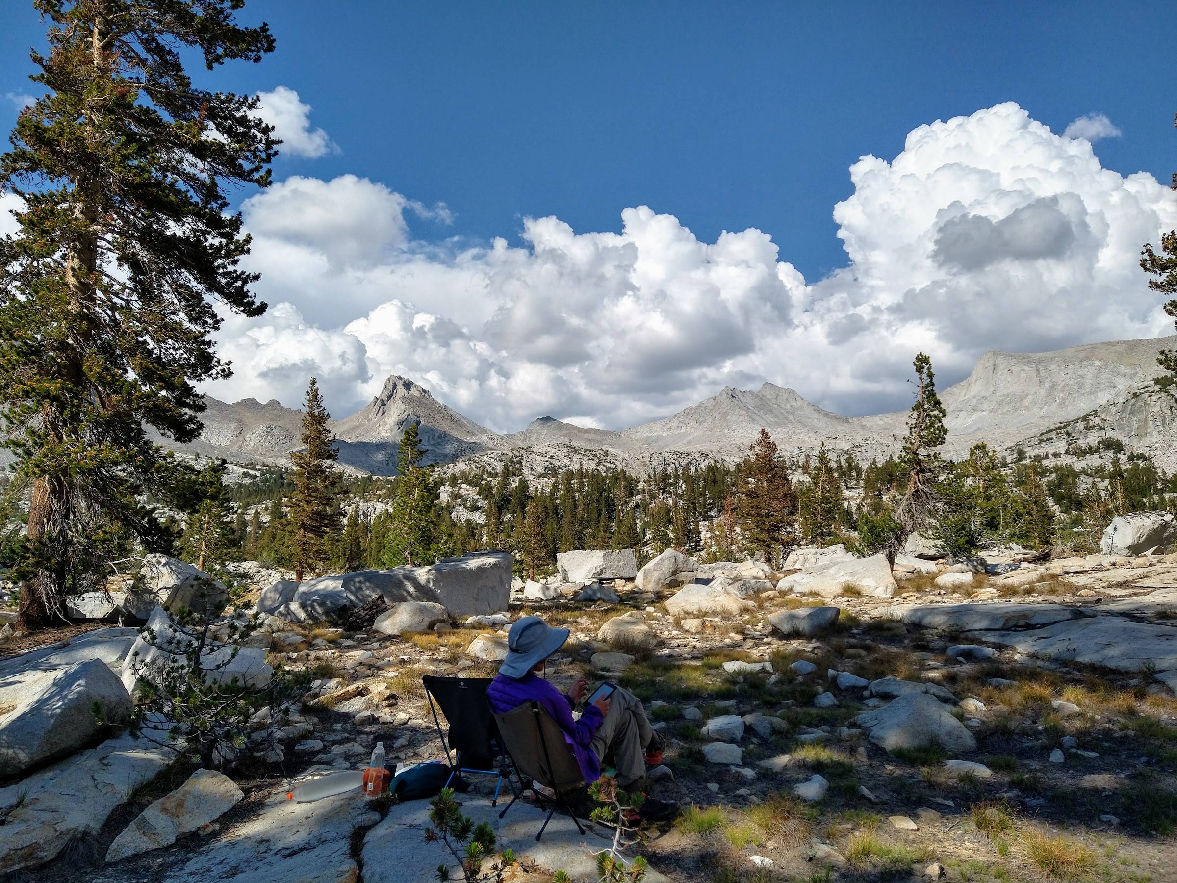
The weather was fabulous, calm and warm. We were able to play cards outside in the early evening, it was so calm. Bugs had been present at times so far, but were a non-issue here.
Day 3: Horseshoe Lake to L-shaped lake in Lake Basin via the SHR, 7-8 miles. This was an incredibly scenic day of hiking. Once we reached Windy Ridge, we were treated to jaw-dropping views all day long. This is looking towards the Enchanted Gorge:
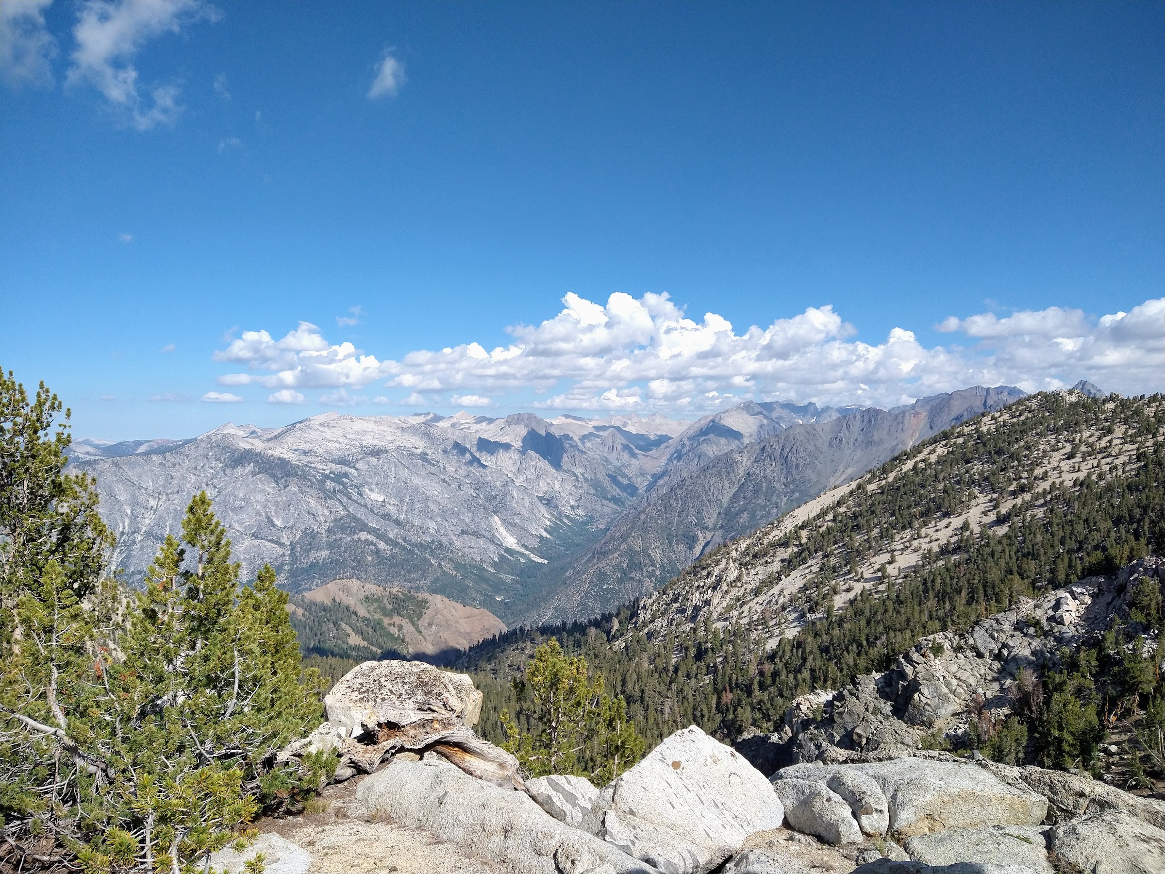
Views of some combination of the Black Divide, Devils Crags, Enchanted Gorge, LeConte Canyon, the Palisades, and more were nearly a constant presence. The sky was blue and clear despite the Washburn Fire burning in the north. Le Conte Canyon and the Palisades from Gray Pass:

All the x-country passes went well, though we had more difficulty than necessary between White Pass and Red Pass. We traversed high from White Pass for a bit before trying to make our way down, and we ended up doing a lot of of traversing on very slow terrain. I think it would have been easier to try to drop down as soon as possible and just walk up to Red Pass. Saving elevation isn't worth it when the alternative is very slow travel.
Walking up to White Pass was a highlight. The nearby scenery was gorgeous, with green, grassy meadows, tarns, creeks, and granite peaks; the distant scenery behind us was the aforementioned amazing view of northern Kings Canyon NP.
Descending Gray Pass, with White Pass in the distance, middle left:
Nearing the top of White Pass:

Traversing to Red Pass:
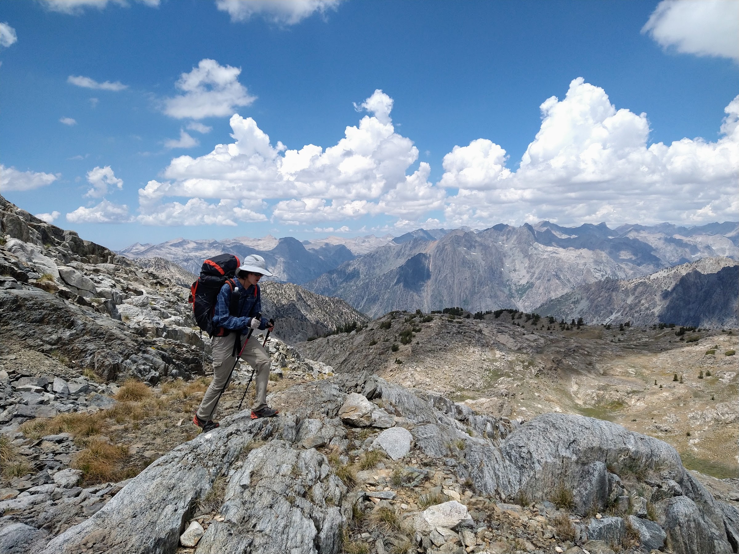
Looking east from Red Pass (Split Mountain in the distant center, partially obscured by a cloud; I think Mt. Ruskin towards the right):

There was a very obvious use trail most of the way down from Red Pass to Marion Lake, not surprising given the popularity of this route. With so many people mentioning how steep the final drop to Marion Lake was, I decided to go further left to make it easier for my son. This indeed was significantly more gradual, but at the expense of a fair amount of talus hopping and a little bushwhacking. I wouldn't go that way again. We had a nice break by the Marion LeConte plaque, which conveniently was adjacent to a large plot of wild onions. Marion Lake (most people, and the use trail, use the chute to the left of the big white rock; we went to the right of it):

Wild onions:

The aroma was glorious, and I picked a few blades to add to whatever freeze-dried delicacy was on the menu tonight. The only downside here was the rather heavy population of mosquitoes.
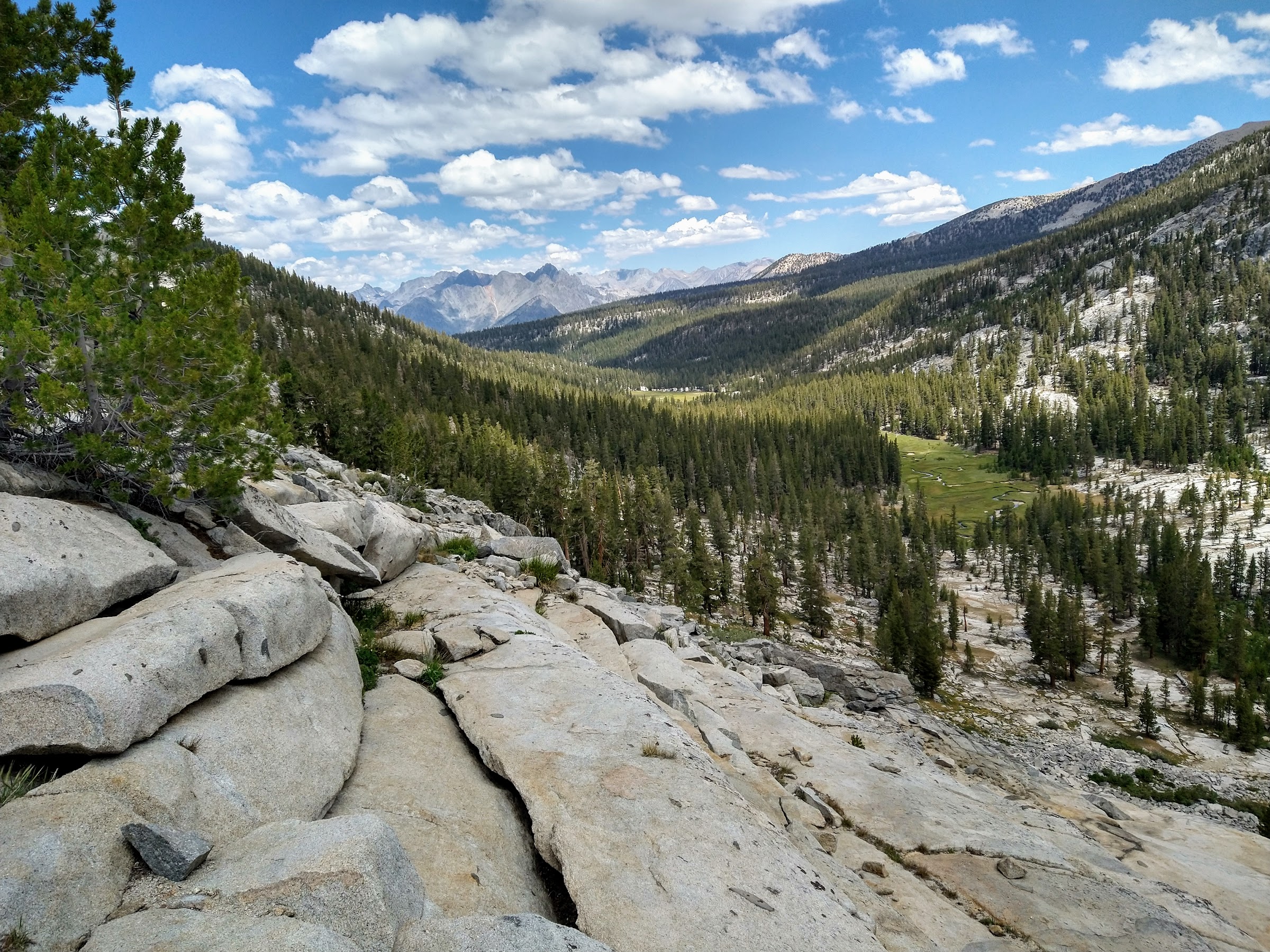
From Marion Lake to the "L-Shaped Lake" there is supposedly the remnants of the old Cartridge Pass JMT; we did in fact follow a trail at times, but who knows whether it was the old trail, a new use trail, or both. Along the way we made the mistake of pausing briefly to do something or other, and the mosquitoes swarmed us like I've rarely experienced before! It was awful, and we got going quickly (we were fully-covered clothing-wise, and most of that clothing was treated with permethrin, but those bastards still seem to manage to find some vulnerability somewhere). We camped pretty far from the shore of the L lake to reduce the mosquito density, and it worked out well. We had nice views of Lake Basin from camp. There were some pretty threatening clouds over Upper Basin but we were underneath blue skies:
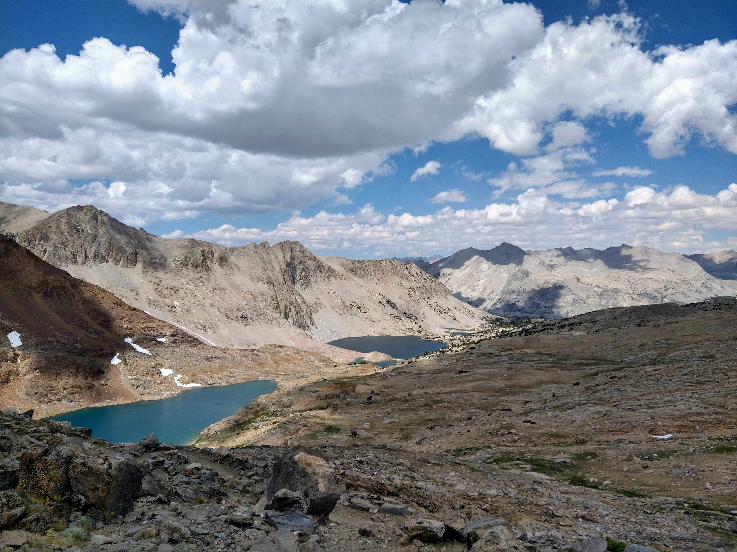
Day 4: Lake Basin to Upper Basin, about 7 miles. I was more than a bit stressed about taking my son over Frozen Lake pass. We talked about Cartridge Pass as an alternative, but he wanted to do Frozen Lake. I really enjoy Upper Basin, so that was fine with me. Walking through Lake Basin was wonderful, with great views near and far. The meadowy area at the Cartridge Pass junction was particularly nice. Turning around we were treated to great views of the basin:

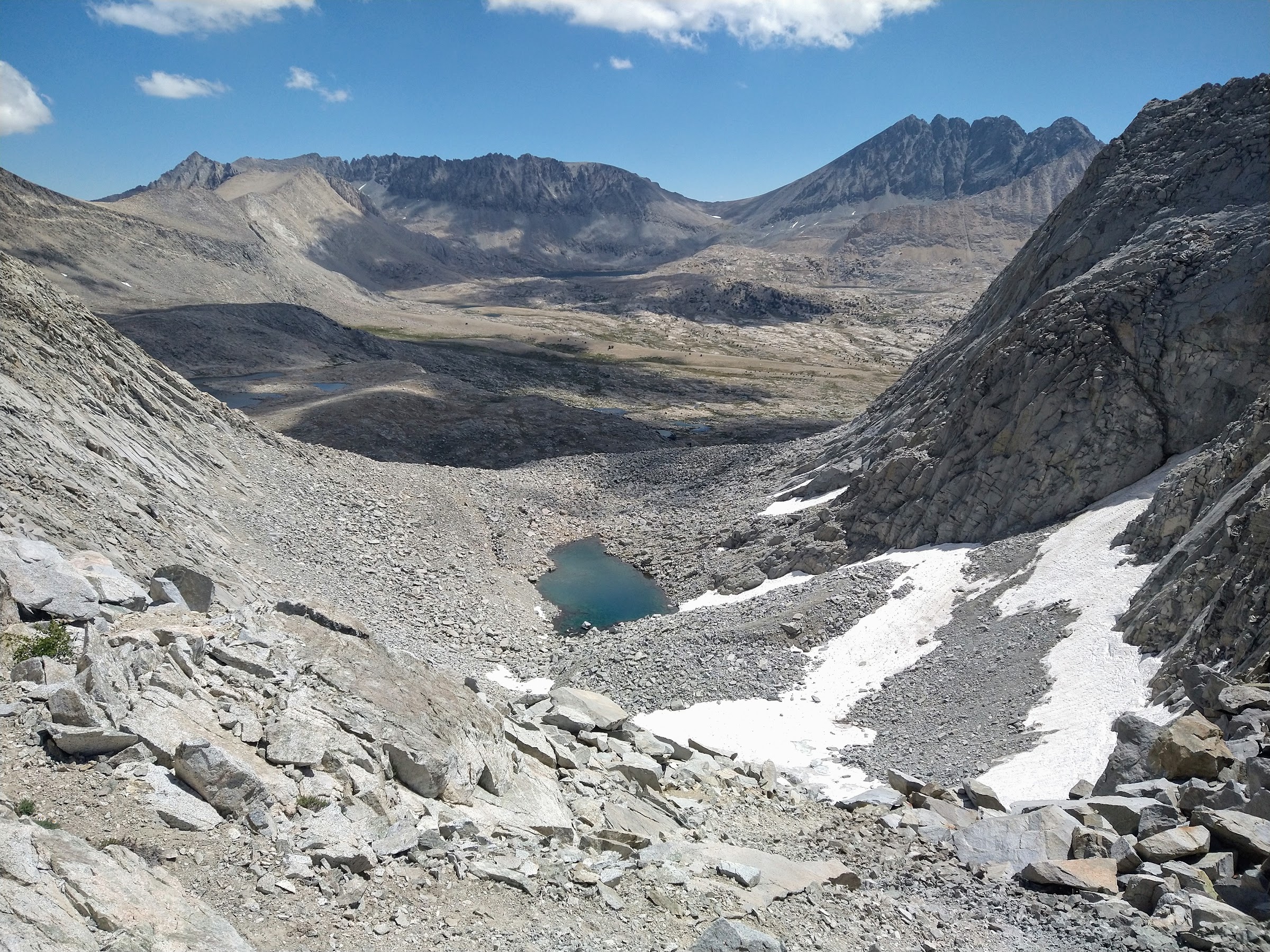
It was all pretty fast going until reaching the talus at the lake below the pass:

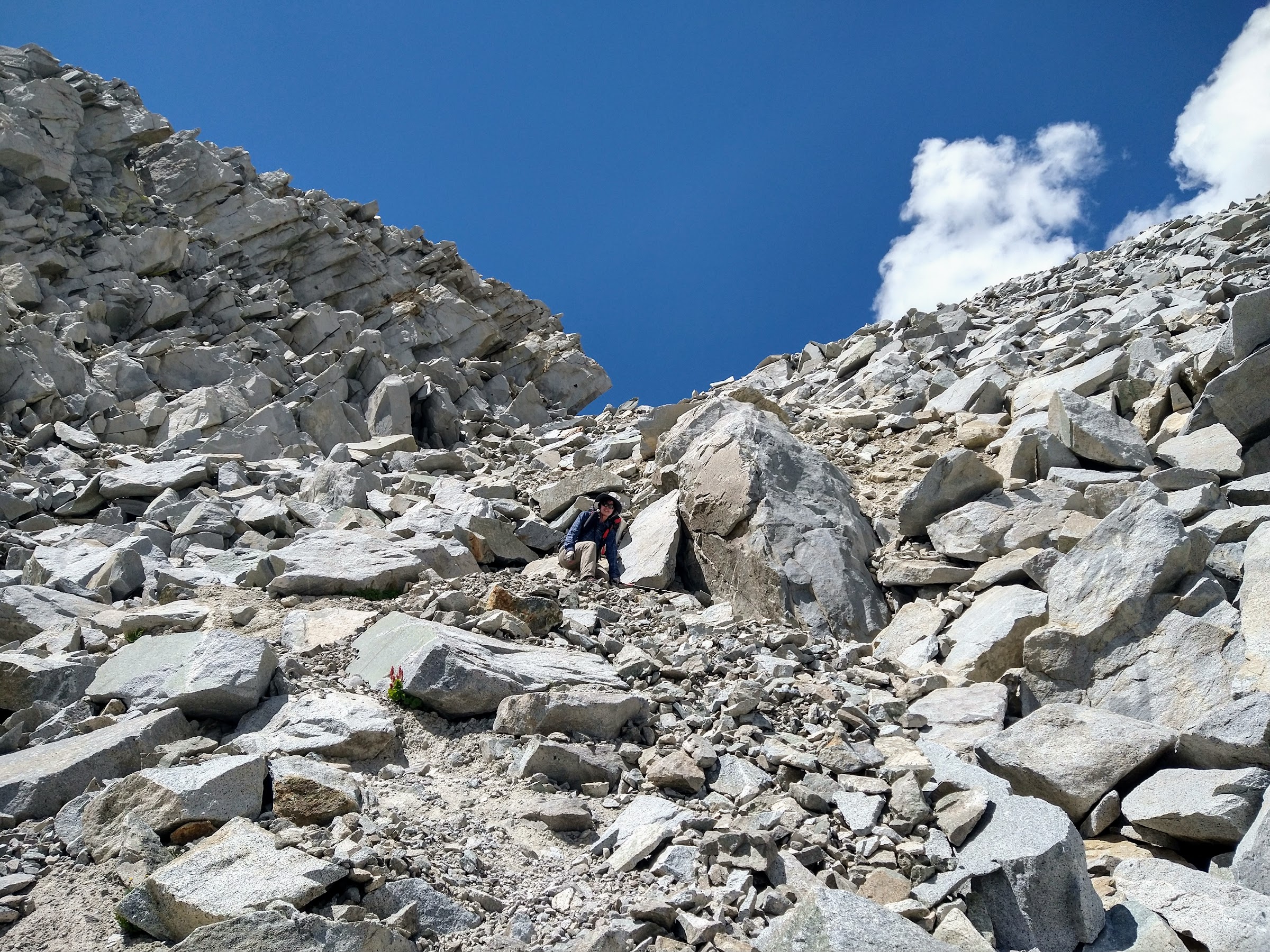
The climb up to the pass was as advertised, steep talus, but kind of fun when done in limited quantities. We made it up without any trouble. We enjoyed a long break at the top, with wonderful views of Lake Basin and beyond to the west and Upper Basin and Split Mountain to the east.
View west:

View east:
Sky pilots at the pass:

The descent down the east side is of course what is most mentioned. The upper part is indeed quite steep and loose, and it did give my son some pause:
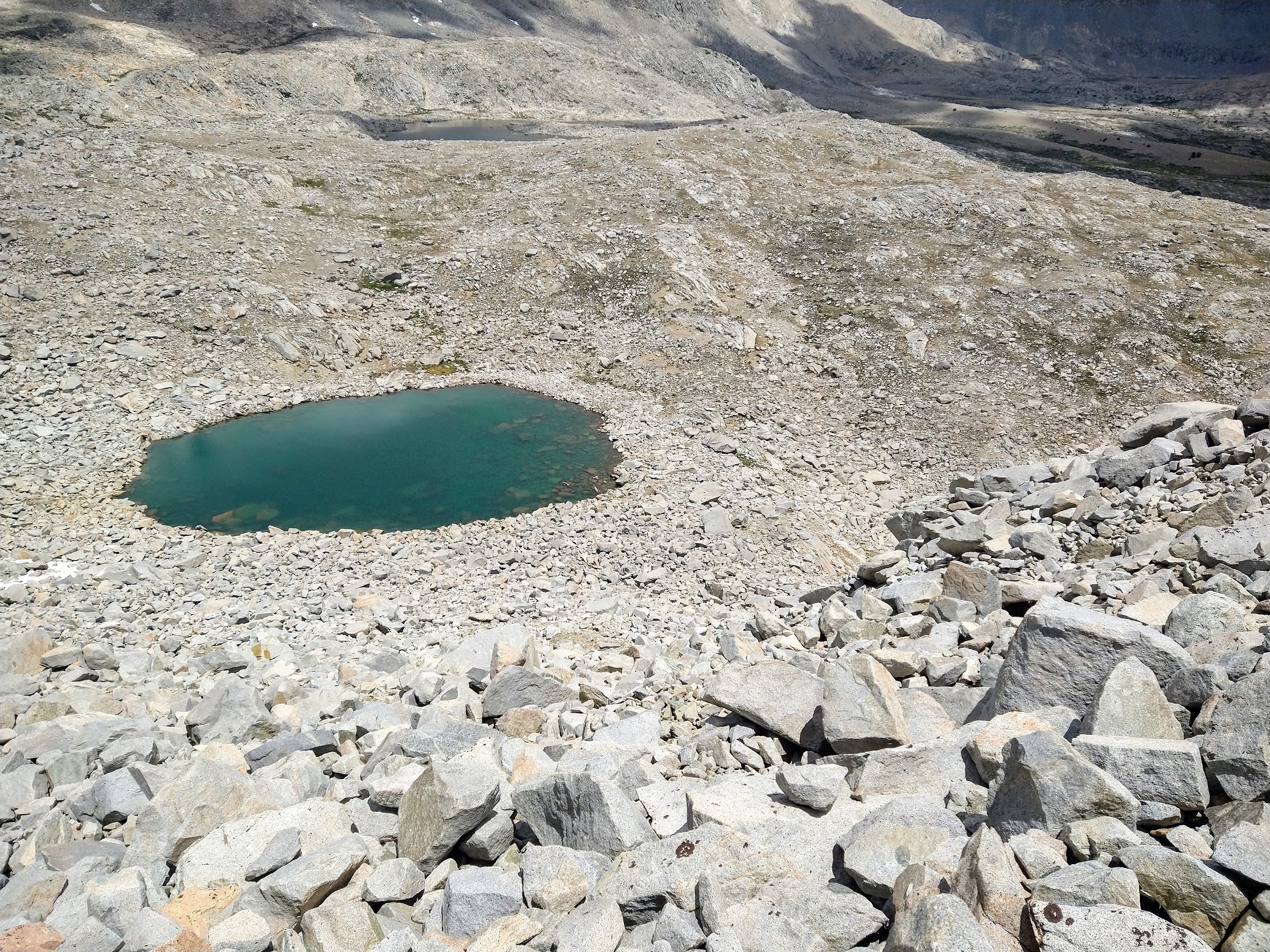
But it was brief, and before long we were on stable talus. The talus is what wore me down. It began sooner and lasted longer than I anticipated. We did get a brief respite as we neared the "frozen" lake, as we were able to walk on a small snowfield for a bit:

But all too soon it was back on the talus. And the drop to the "round" lake was almost as slow as descending the pass:
Once at that lake, the talus continued for a bit longer. It was such a relief when we first stepped on soil! Part of the problem is likely my ineptitude on talus (my son was considerably quicker); I prefer to blame my relatively heavy pack (I tried to lighten my son's load as much as possible due to his fracture last year). So, Frozen Lake pass never felt particularly dangerous to me (and I'm a wimp when it comes to exposure), but it was tiring.
We made a diagonal south to hit the JMT near the bottom of Upper Basin:
By now the skies were dark and beginning to sprinkle; we hiked down a mile or two and then headed east to the Kings to make camp high above the river. Unfortunately the downpour began before we were able to get the tent up!
Drying out after the rain:

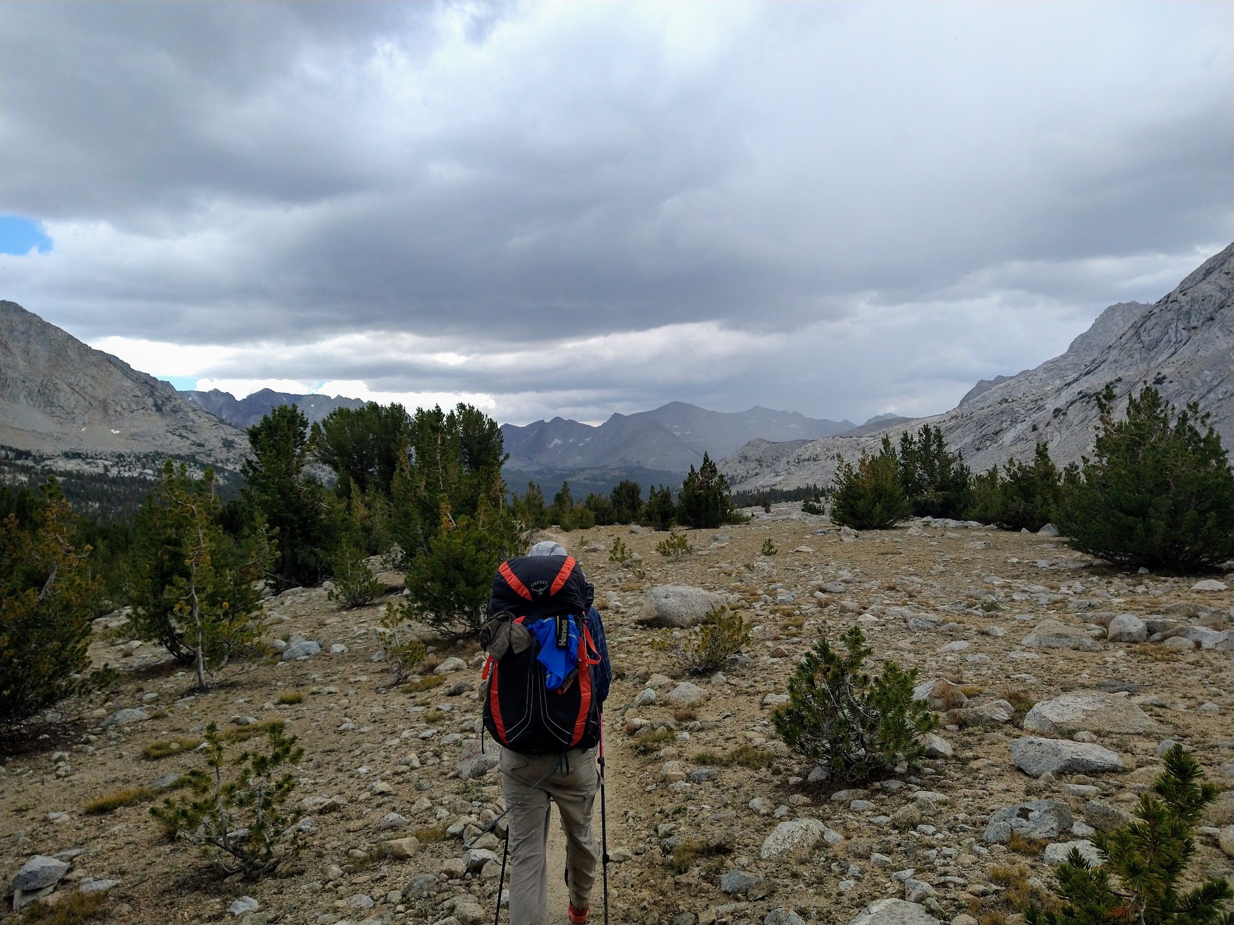
Days 5, 6, 7, 8: (lower) Upper Basin to Roads End, about 30 miles. Taking 4 days to hike directly to Roads End from Upper Basin was challenging for us, in the sense that we are used to and enjoy hiking long days and are not ones to sit around camp. Perhaps if we fished or could better tolerate swimming in frigid water it would be otherwise, but we don't and can't. At least the first day involved a climb over Pinchot Pass; the other 3 were pretty much all downhill and pretty brief. We tried to milk it by leaving as late as possible and taking long breaks. Early thunderstorms on day 5 and 6 meant we spent much of those afternoons hunkered down in our tent reading and playing cards.
Looking north from below Pinchot Pass:
Camp just south of Pinchot Pass:
Mt. Clarence King from tarn adjacent to JMT (near Twin Lakes):

As we neared the Woods Creek swinging bridge on day 6, I realized that the inReach Mini that is usually clipped to my son's pack was missing. We mainly use it to check in with my wife every evening, a requirement with our son along. She also requires us to have hourly tracking on, and now I was very worried that she would think one of us had suffered a terrible injury and was unable to hike. These devices are a nice convenience until they become a terrible burden! Of course Woods Creek crossing is one of the busiest areas in the Sierra and it wasn't difficult to find someone there with an inReach that I could borrow. I texted my wife and told her what happened. I asked her to text back with the coordinates of our inReach. As I feared, it was back at our previous night's camp, at the tarns just south of Pinchot Pass. It was a steep 7-mile climb away. I didn't want to retrieve it that afternoon because it was already beginning to rain; I thought about heading up early the next morning for a 14-mile jaunt, but I could tell my son was a little uneasy about being left alone for that long (he couldn't join me because of his mileage restriction). So, it's still there. It's off the trail so it won't be automatically picked up by a JMT hiker, but I'm trying to coordinate with somebody in particular to fetch it.
Anyway, the hike to Roads End was very enjoyable all in all. I hadn't been on the Woods Creek/Paradise Valley trail in about 25 years. It's of course pretty busy now, but we ended up with a nice, quiet campsite at Middle Paradise, and the river there is beautiful:

We particularly enjoyed the Sphinx views hiking down from Paradise Valley early on the last day. The final highlight was the excellent taqueria we've discovered in Fresno--La Mexicana Bakery & Taqueria. Highly recommended!


