Back in 2012 I and 3 of my buddies from college got together to hike the HST from west to east. Three of us had done a 7 day trip in Glacier the year before. Two of us had backpacked in Yosemite in 2010 and Sequoia in 2009. One was on his first trip, using partly borrowed gear, we'll call him Pooper.
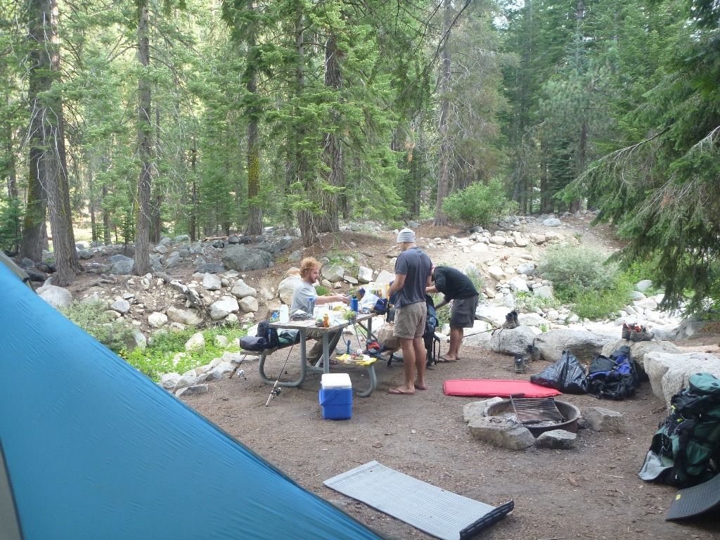
The fellas sorting gear and divvying up whiskey. Apparently some of them had gotten into the bottle on the way in.
First night camping at Buck Creek. Everyone settling in to the natural rhythms, and drinking whiskey or course.
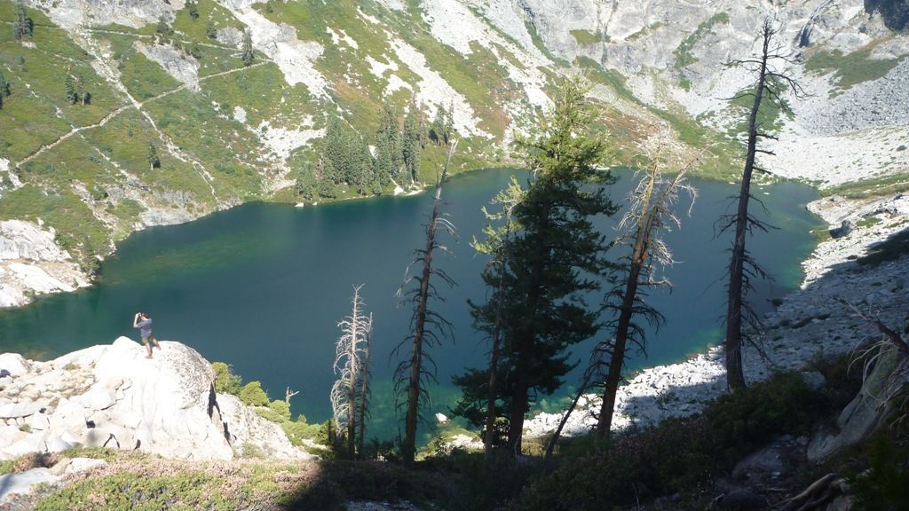
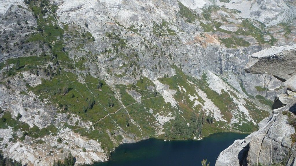
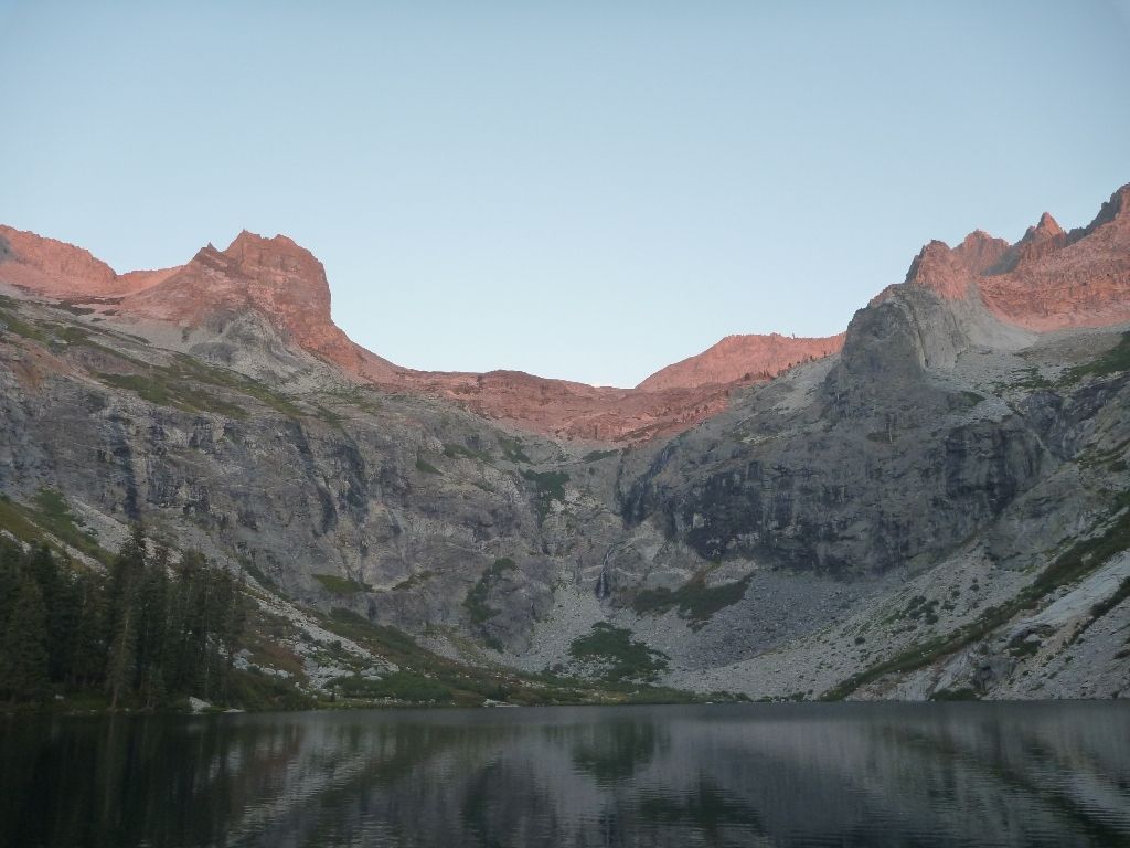
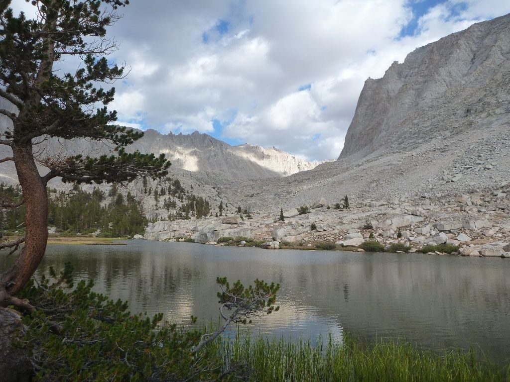
Arrived at Hamilton Lake in the afternoon heat. After a swim, Em and I scrambled up the slopes to catch a view and scope the lake for fishing spots.
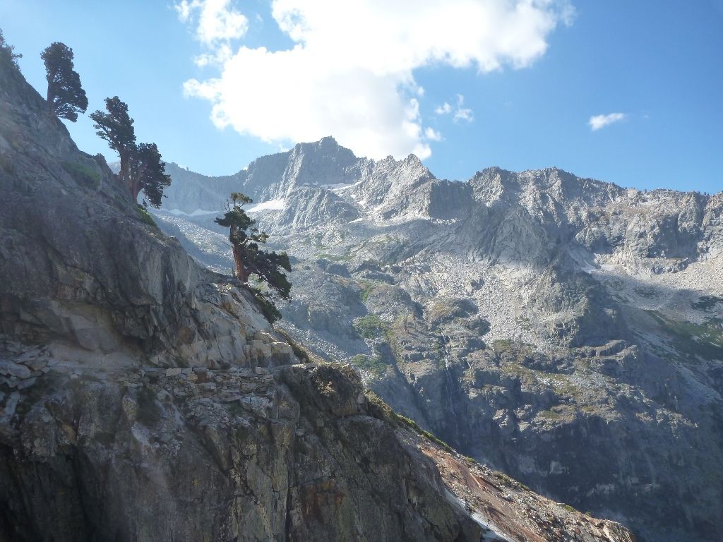
The incredible trail for tomorrow. Note the bear looking rock on the right, sweet.
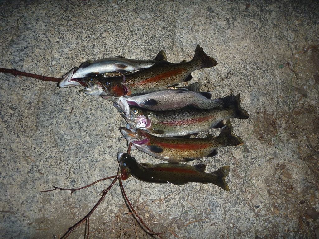
Some bows for dinner.
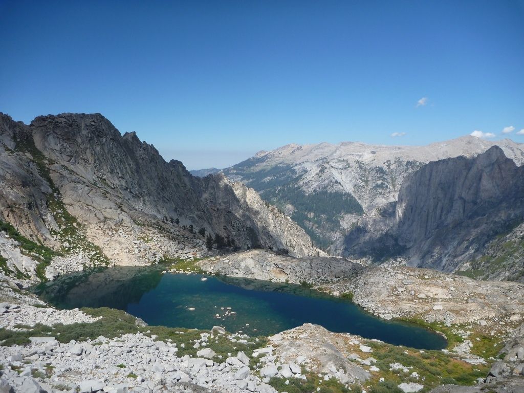
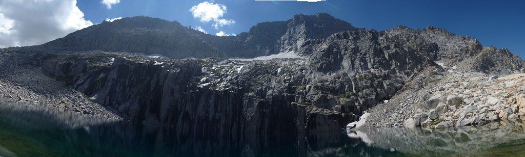
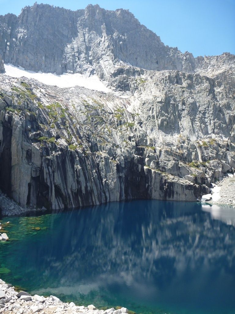
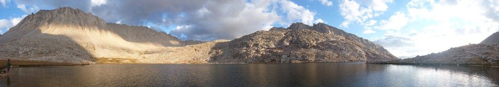
The next day we hiked up to Precipice Lake, over the pass and back up to the meadows below Mt Kaweah.
The next morning. Exhausted, we had plunked down slopily at an existing fire ring near the meadows.
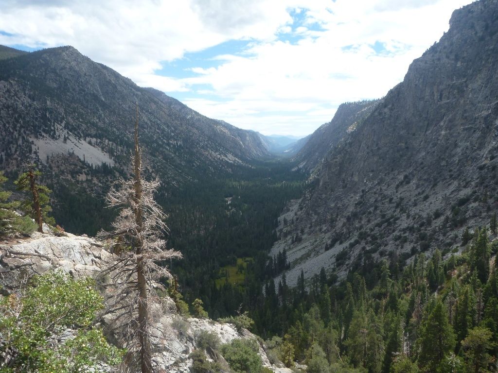
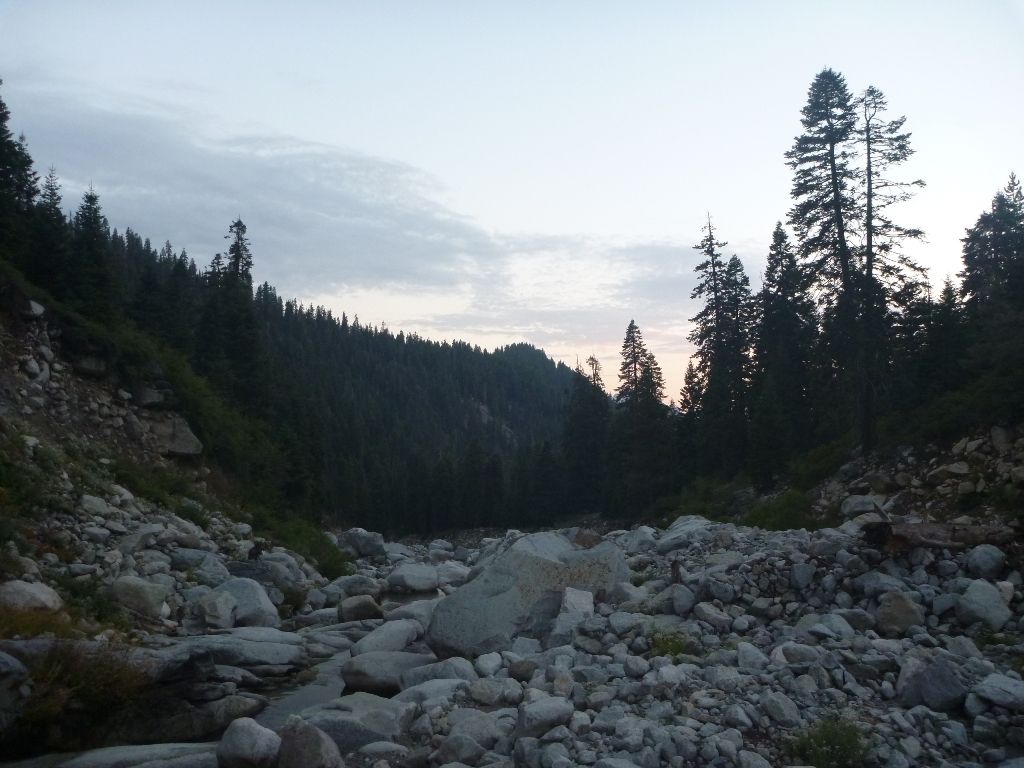
Down into the Kern
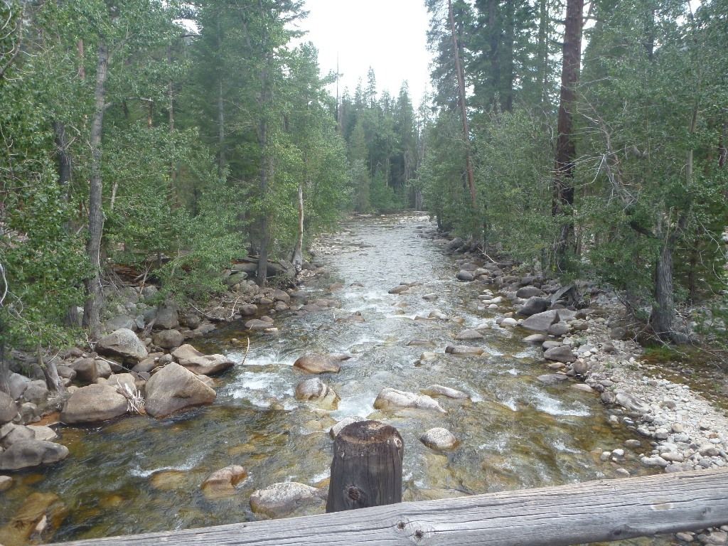
There are fish in there...
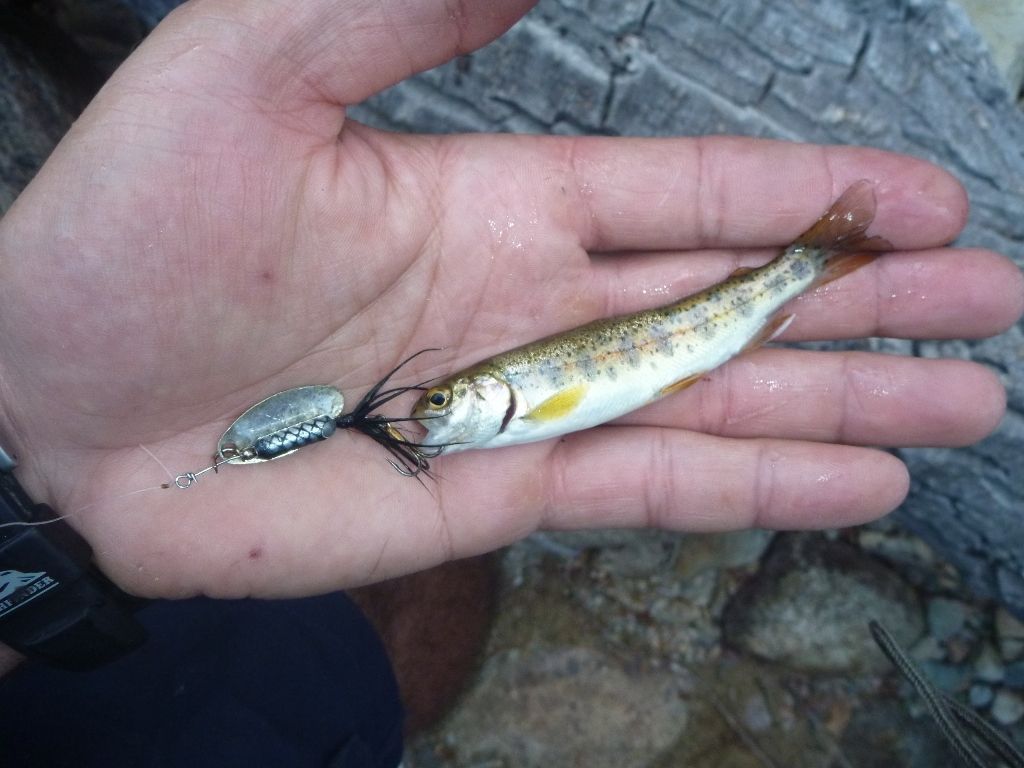
The cojones on this little guy! He'll be big someday.
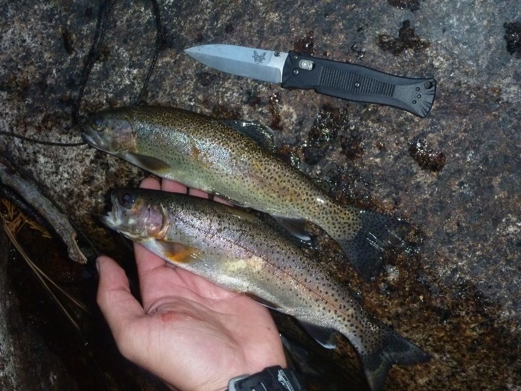
Some nice rainbows. Maybe some Golden in em?
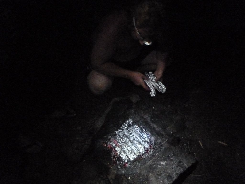
This night we had a feast. A little bit of lemon juice, olive oil, and sauteed garlic.
The next day on the way to Guitar Lake
Pooper looking to catch the first lunker Golden. No luck with this guitar.
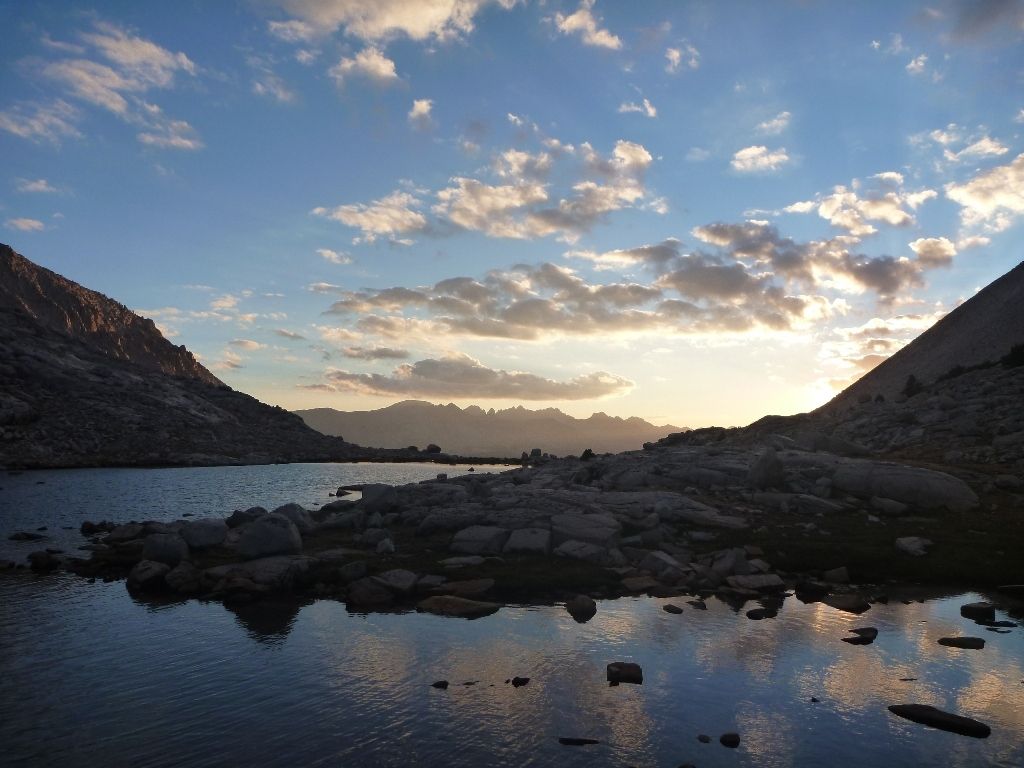
The sunset gave us a nice show though.
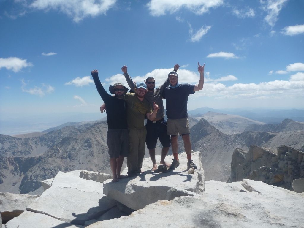
The next day to the top of Whitney and down to the Portal. We since have come to call it the Butthole, after a few of us got violently sick that night. The Summit and east side of Whitney is by far the least pristine place on the route.
Trip Report: 2012 High Sierra Trail
- Goat
- Topix Acquainted
- Posts: 55
- Joined: Sun Apr 21, 2013 1:54 pm
- Experience: Level 4 Explorer
- Location: Denver, CO
Trip Report: 2012 High Sierra Trail
Last edited by Goat on Fri Jul 03, 2015 2:36 pm, edited 1 time in total.
- maverick
- Forums Moderator
- Posts: 11846
- Joined: Thu Apr 06, 2006 5:54 pm
- Experience: Level 4 Explorer
Re: Trip Report: 2012 High Sierra Trail
Professional Sierra Landscape Photographer
I don't give out specific route information, my belief is that it takes away from the whole adventure spirit of a trip, if you need every inch planned out, you'll have to get that from someone else.
Have a safer backcountry experience by using the HST ReConn Form 2.0, named after Larry Conn, a HST member: http://reconn.org
- Goat
- Topix Acquainted
- Posts: 55
- Joined: Sun Apr 21, 2013 1:54 pm
- Experience: Level 4 Explorer
- Location: Denver, CO
Re: Trip Report: 2012 High Sierra Trail
Are the photos not showing? They appear fine for me.maverick wrote:viewtopic.php?f=17&t=103#p360
- The Other Tom
- Founding Member
- Posts: 970
- Joined: Mon Dec 19, 2005 6:06 pm
- Experience: N/A
- Location: Upstate South Carolina
Re: Trip Report: 2012 High Sierra Trail
Can't see the photos
- maverick
- Forums Moderator
- Posts: 11846
- Joined: Thu Apr 06, 2006 5:54 pm
- Experience: Level 4 Explorer
Re: Trip Report: 2012 High Sierra Trail
Unfortunately not.
Professional Sierra Landscape Photographer
I don't give out specific route information, my belief is that it takes away from the whole adventure spirit of a trip, if you need every inch planned out, you'll have to get that from someone else.
Have a safer backcountry experience by using the HST ReConn Form 2.0, named after Larry Conn, a HST member: http://reconn.org
I don't give out specific route information, my belief is that it takes away from the whole adventure spirit of a trip, if you need every inch planned out, you'll have to get that from someone else.
Have a safer backcountry experience by using the HST ReConn Form 2.0, named after Larry Conn, a HST member: http://reconn.org
- Goat
- Topix Acquainted
- Posts: 55
- Joined: Sun Apr 21, 2013 1:54 pm
- Experience: Level 4 Explorer
- Location: Denver, CO
Re: Trip Report: 2012 High Sierra Trail
It should be fixed. I was using drop box, which gave me a weird URL. Switched over to Photobucket. Not too entertaining without the pictures, huh, haha.
Someone please confirm.
Thanks,
Nate
Someone please confirm.
Thanks,
Nate
- maverick
- Forums Moderator
- Posts: 11846
- Joined: Thu Apr 06, 2006 5:54 pm
- Experience: Level 4 Explorer
Re: Trip Report: 2012 High Sierra Trail
That's much better Nate!
Professional Sierra Landscape Photographer
I don't give out specific route information, my belief is that it takes away from the whole adventure spirit of a trip, if you need every inch planned out, you'll have to get that from someone else.
Have a safer backcountry experience by using the HST ReConn Form 2.0, named after Larry Conn, a HST member: http://reconn.org
I don't give out specific route information, my belief is that it takes away from the whole adventure spirit of a trip, if you need every inch planned out, you'll have to get that from someone else.
Have a safer backcountry experience by using the HST ReConn Form 2.0, named after Larry Conn, a HST member: http://reconn.org
Who is online
Users browsing this forum: Flamingo, mkbgdns, Tommy_E03 and 36 guests