Summary: A nice weekend training hike with spectacular scenery.
I drove up from LA on Thursday mid-day missing all the traffic. Picked up a couple of thru hikers in Independence for a lift to Bishop. I just beat the closing time at the Mammoth Visitor Center (Ranger station), but the Permit was in the night box already. The plan was to get a good night's sleep at the Motel6 while it rained that night, and to get an early start.
Did some advanced scouting at Minaret Summit and captured the gloom on my Camera.
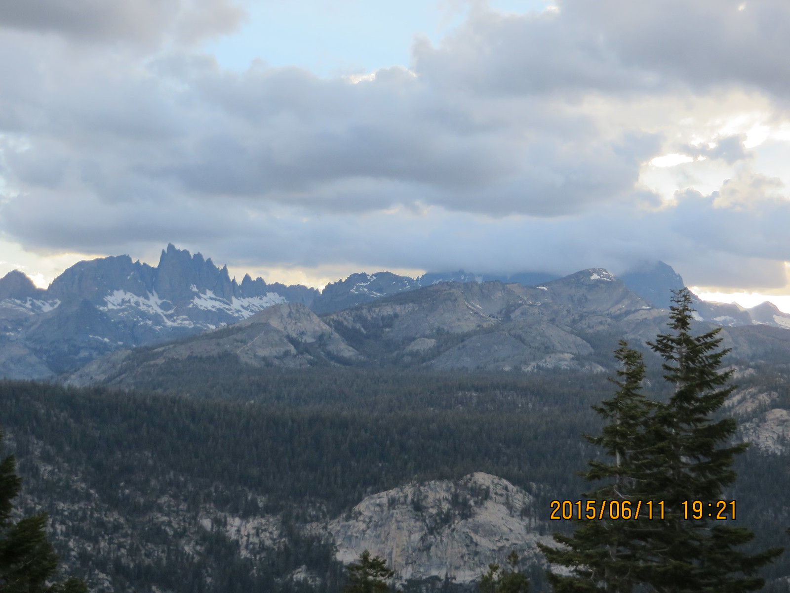
The Minarets and (cloud obscured) Mt Ritter & Mt Banner from Minaret Summit
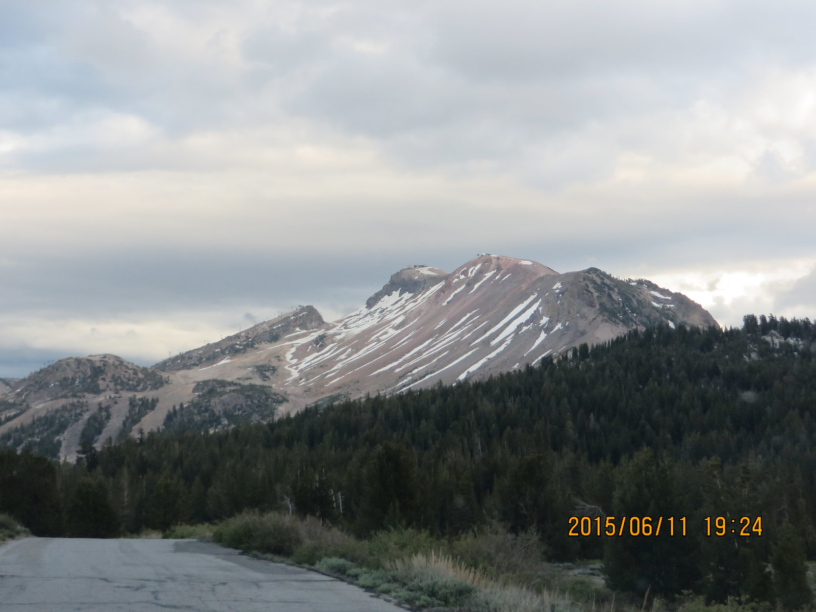
Mammoth Mountain at the end of a bleak year
Friday: Woke to a wet car. A (relatively) good breakfast with real coffee, and I drove through the Minaret gate at 6:40 before Rangers showed. Friday was opening day at Red's Meadow and the shuttles didn't start until Saturday. The day started gloomy and cool; perfect weather for going uphill. Just don't wanna see any rain!
On the trail at 7:15. First backpacking trip on some new trail runners that I recently broke in on day hikes. A tenth in, and I had to remove the insoles I added. Much better!
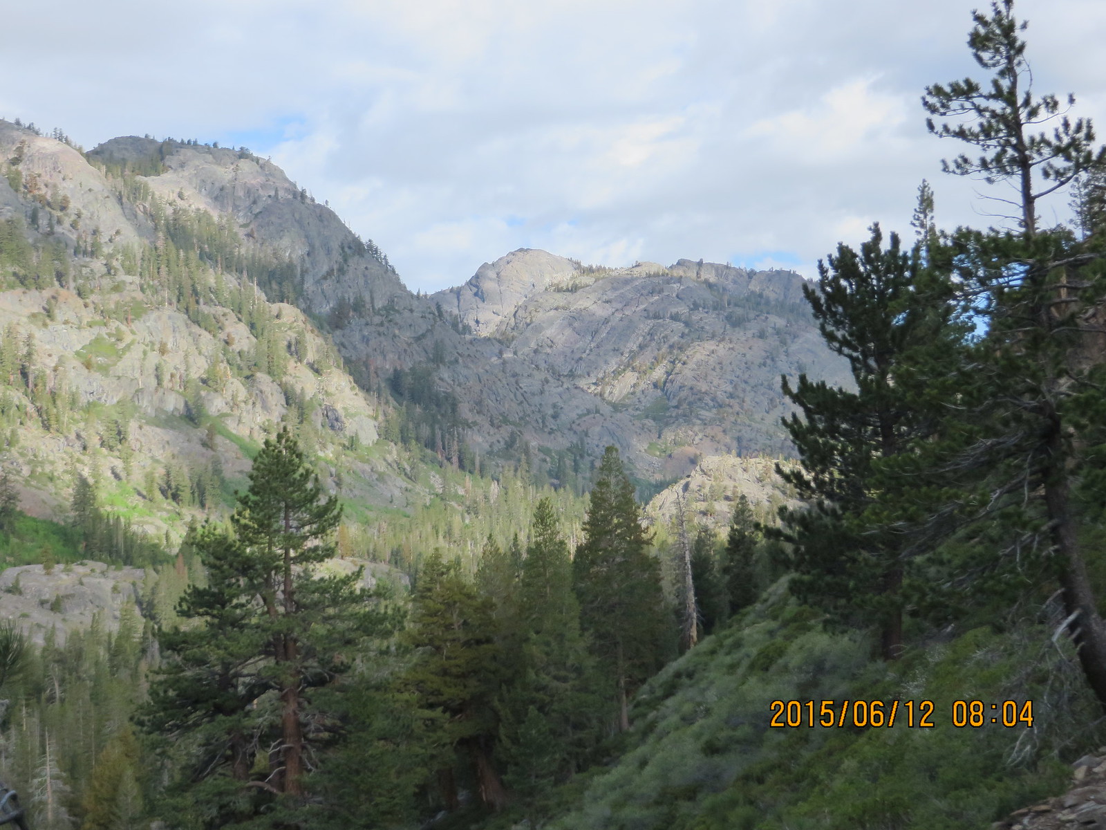
View of the Shadow Creek gorge from the east rim of the SJ River Cyn
Just a nice trail into the SJR gorge. Smooth, soft and firm ground that was easy on the feet. Minimal steps until across the SJR and starting up the climb to Shadow Lake. I love a scenic climb, because I have lots of excuses to rest while taking pictures!
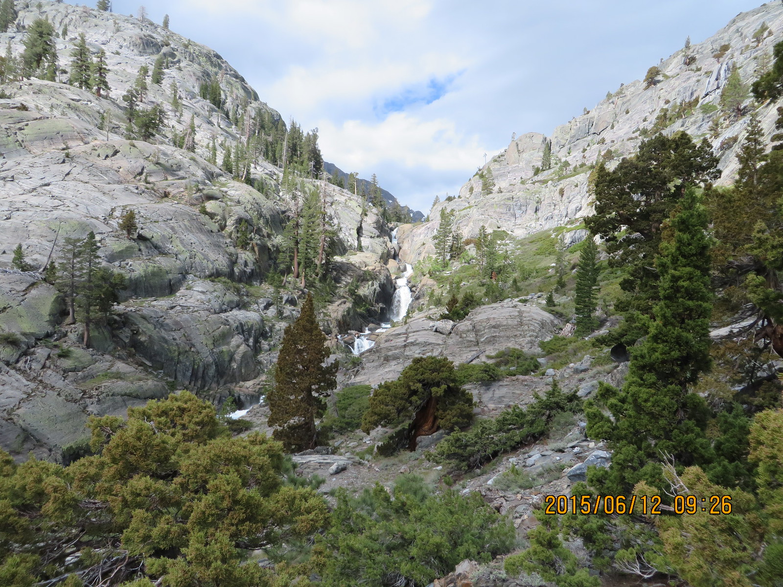
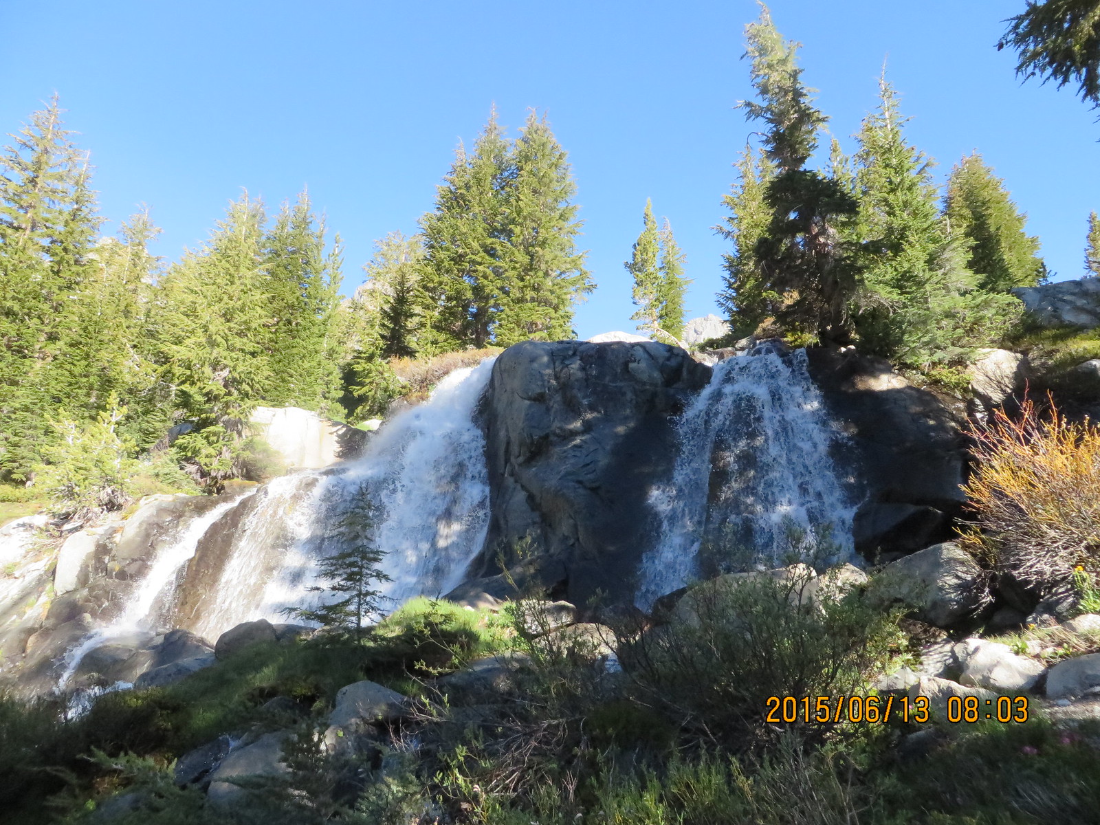
Shadow Creek at Shadow Lake outlet
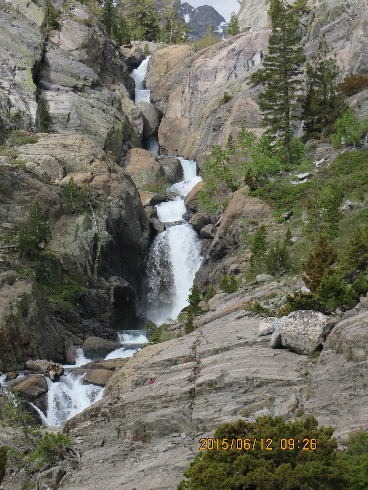
Shadow Creek falls
The Ediza Lake hike is actually like two different hikes: Agnew Meadows to the Shadow Lake outlet, and from Shadow Lake to Ediza Lake. It is hard to decide which I liked better on the way up.
On reaching Shadow Lake, I breathed a sigh of relief. The most challenging part was over, and I was warmed up and feeling really good. The lake is surrounded by trees that provide shade for the trail. It felt like a walk in the park.
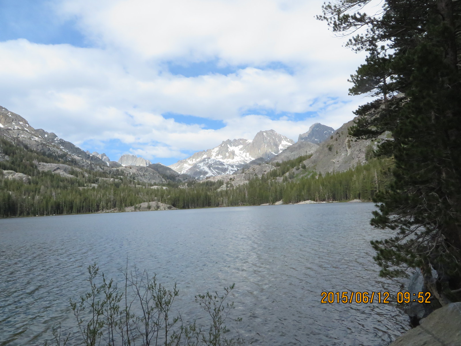
Shadow Lake outlet looking up the valley
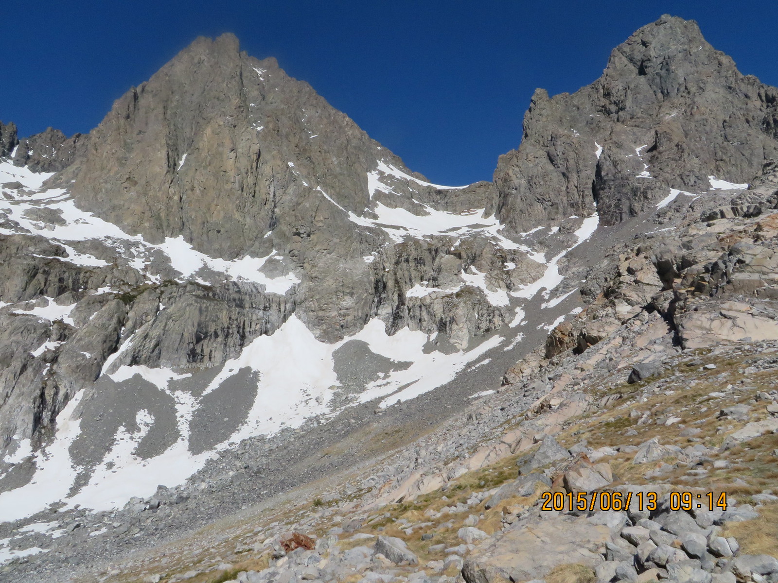
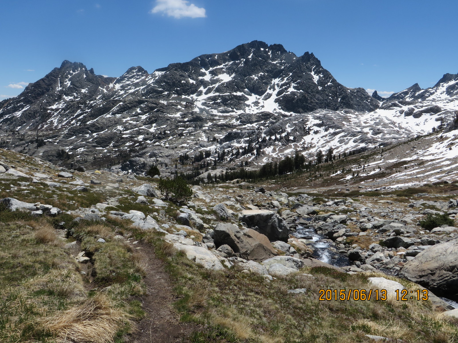
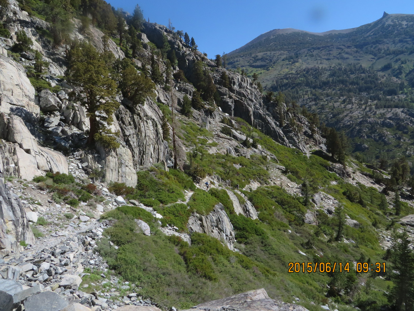
The trail between Shadow Lake and Ediza Lake was rolling with shaded tree sections and granite sections. Views of rushing waters alternated with mountains views. The only downside was the crowds. It felt like the 405 over Sepulveda Pass (Hyperbole Alert!). A group of 15 twenty somethings flew by trailing a Horse/Mule pack train. I was worried there would be a serious shortage of solitude, which is one of the things I like about solo hikes.
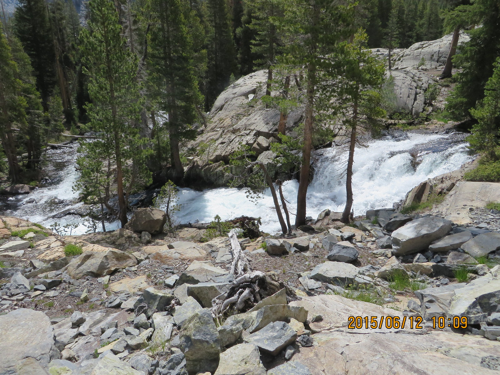
Whitewater on Shadow Creek
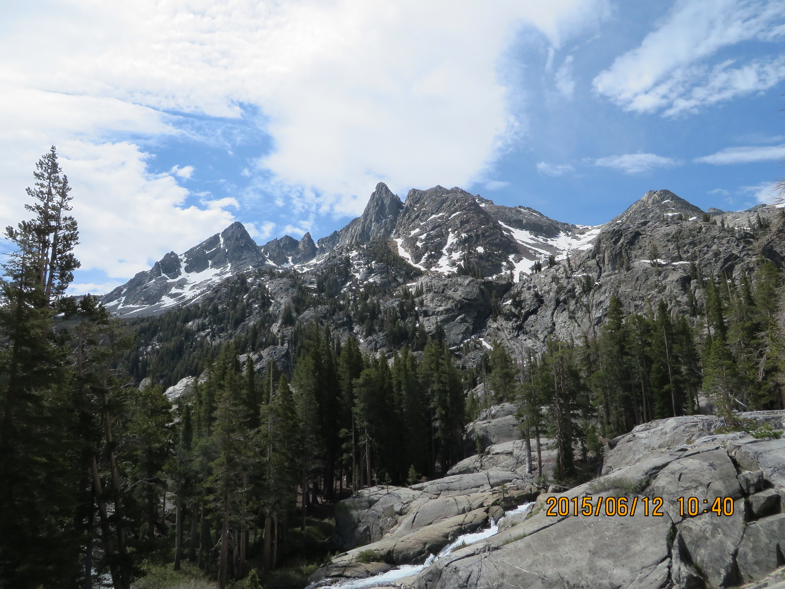
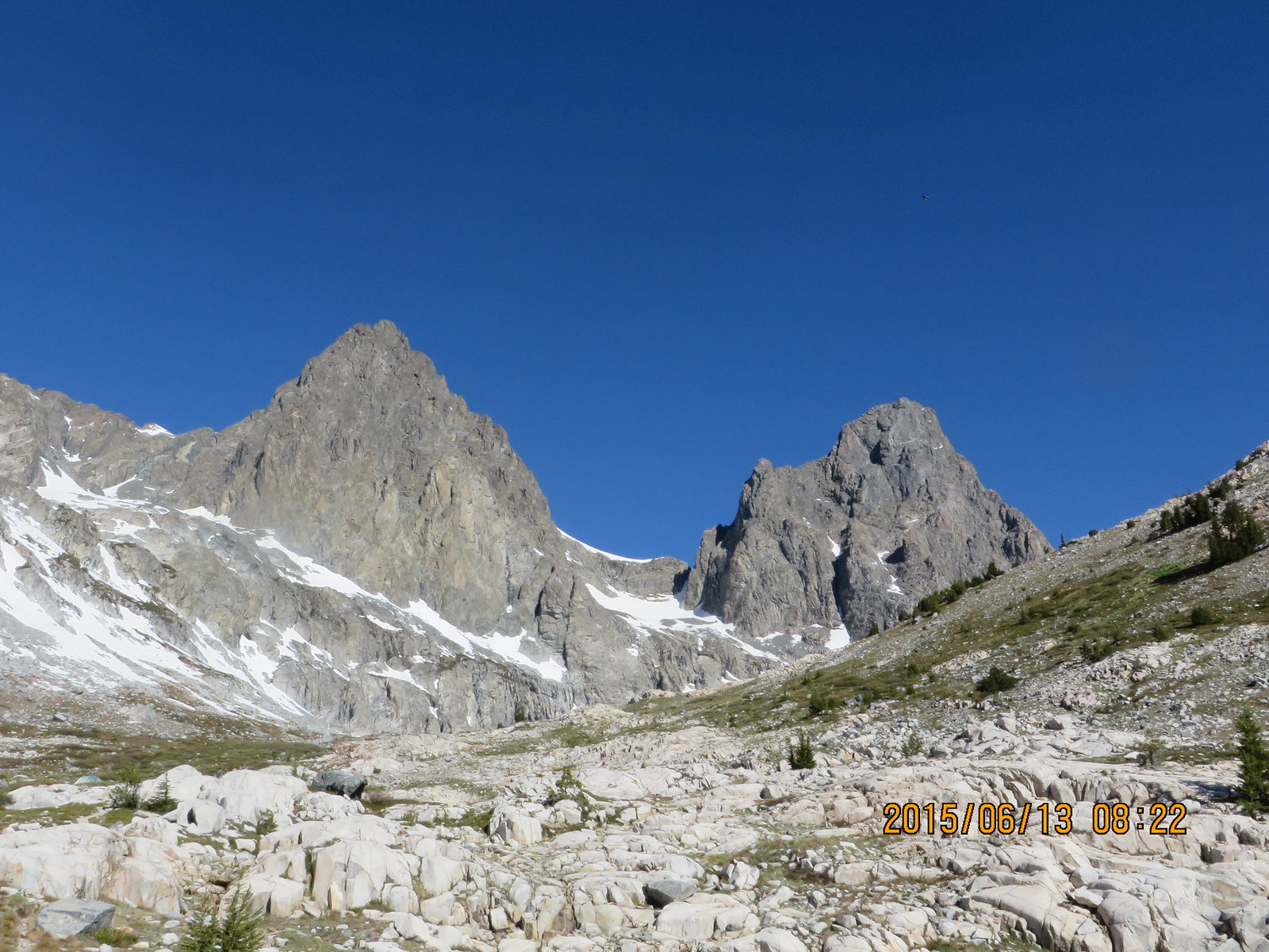
Volcanic Ridge guarding the south side of the valley
Fortunately they made camp at the outlet of the lake, and I was able to find my solitude in the forest a couple hundred feet above the western shore of the lake.
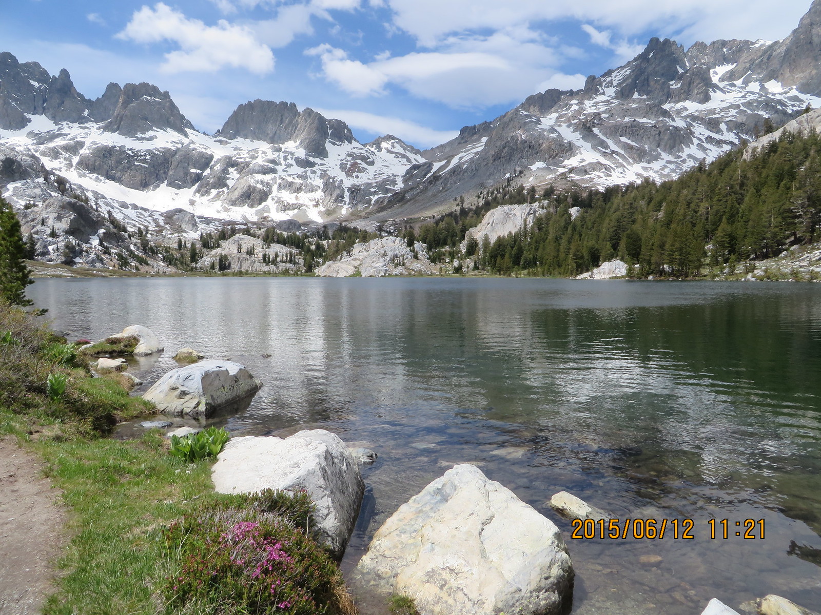
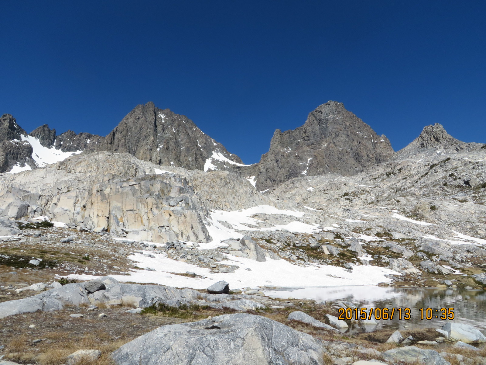
My first view of Ediza Lake
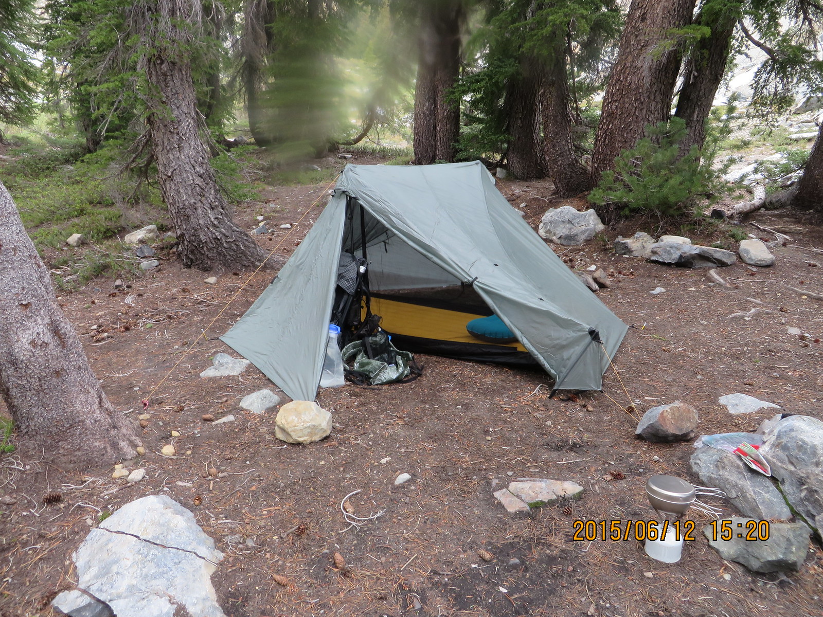
Home Sweet Home
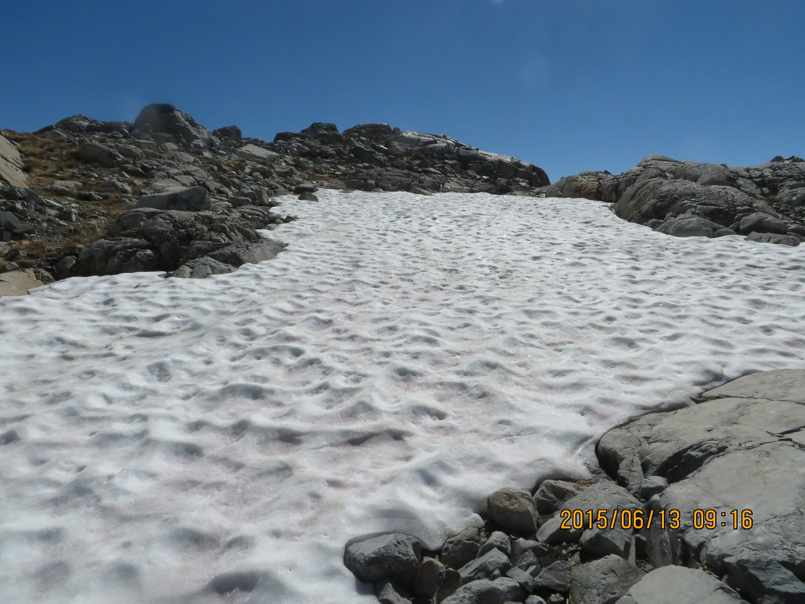
The only real excitement was after I missed the inlet stream crossing and had to cross upstream three different fast flowing feeder streams. I should have gone back, but was too tired and hungry. I did find it eventually...
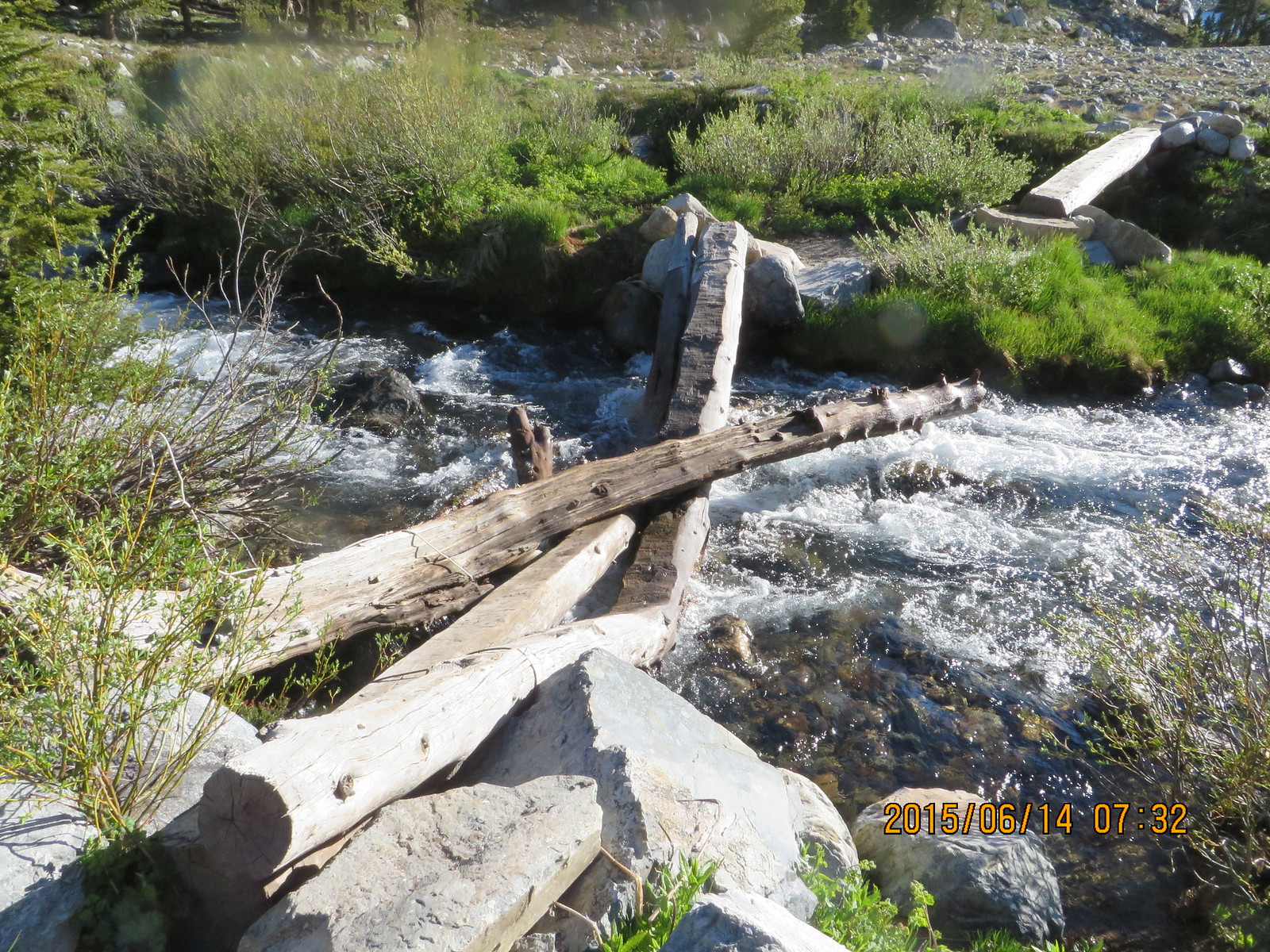
The good crossing!
I set up camp, filtered water, rested my aching feet and stretched out my tight hamstrings on a big flat piece of granite.
After I ate, I explored the area around my camp, took a few pix and introduced myself to my neighbors from the bay area. Just enough solitude, but 10 people within a 1/4 mile if I got lonely.
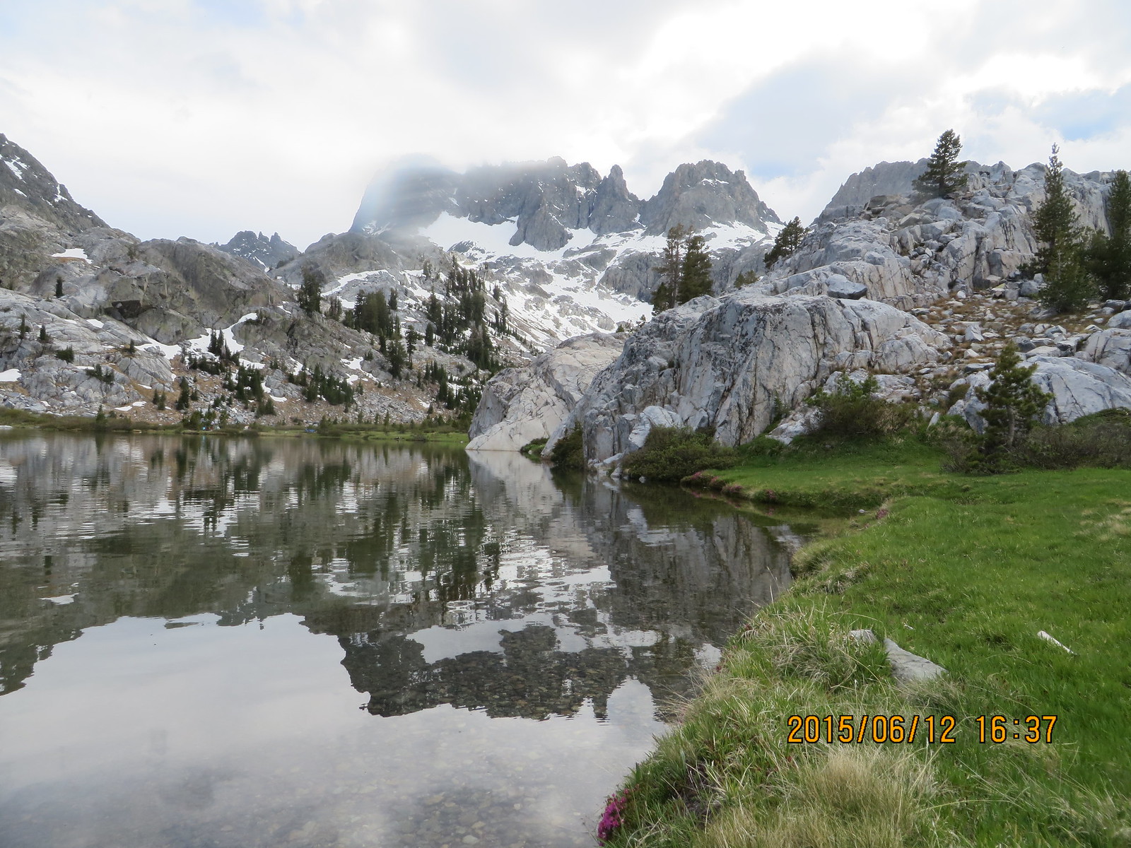
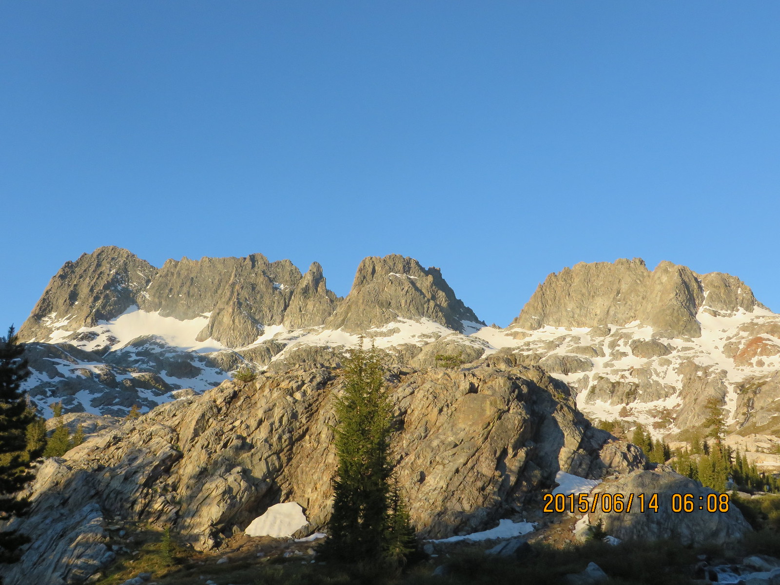
Ediza Lake with Ritter Range Peaks in the foggy background
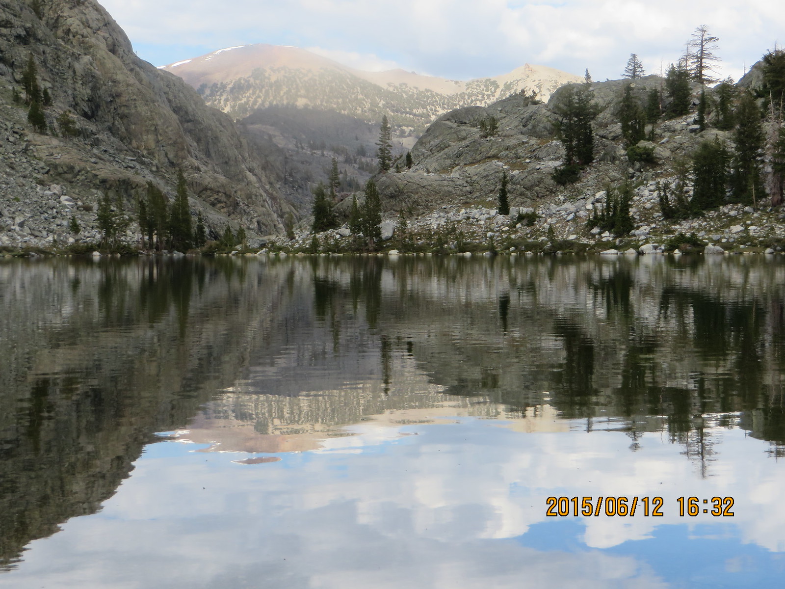
Ediza Lake Outlet
The weather started to clear and the temperatures stayed nice. I fell asleep on top of my quilt for a few hours until I got cold. That's what I call nice weather.