Member descriptions, photos, and map locations of Cross Country Passes in the High Sierra. This forum is for information only - discussions should be kept in the appropriate categories. This forum is a component of the HST Map. We need your help to complete the database, so please contribute!
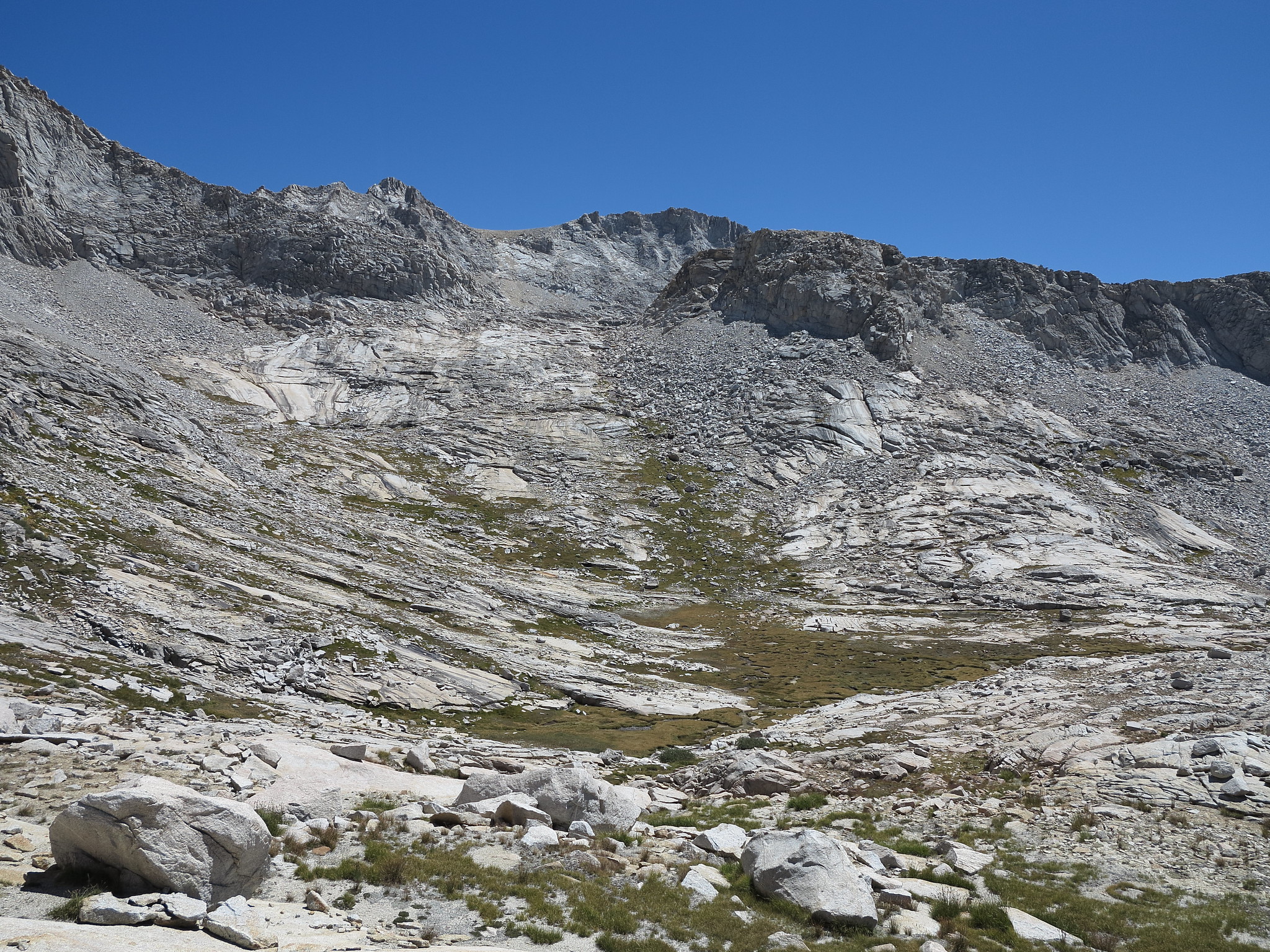
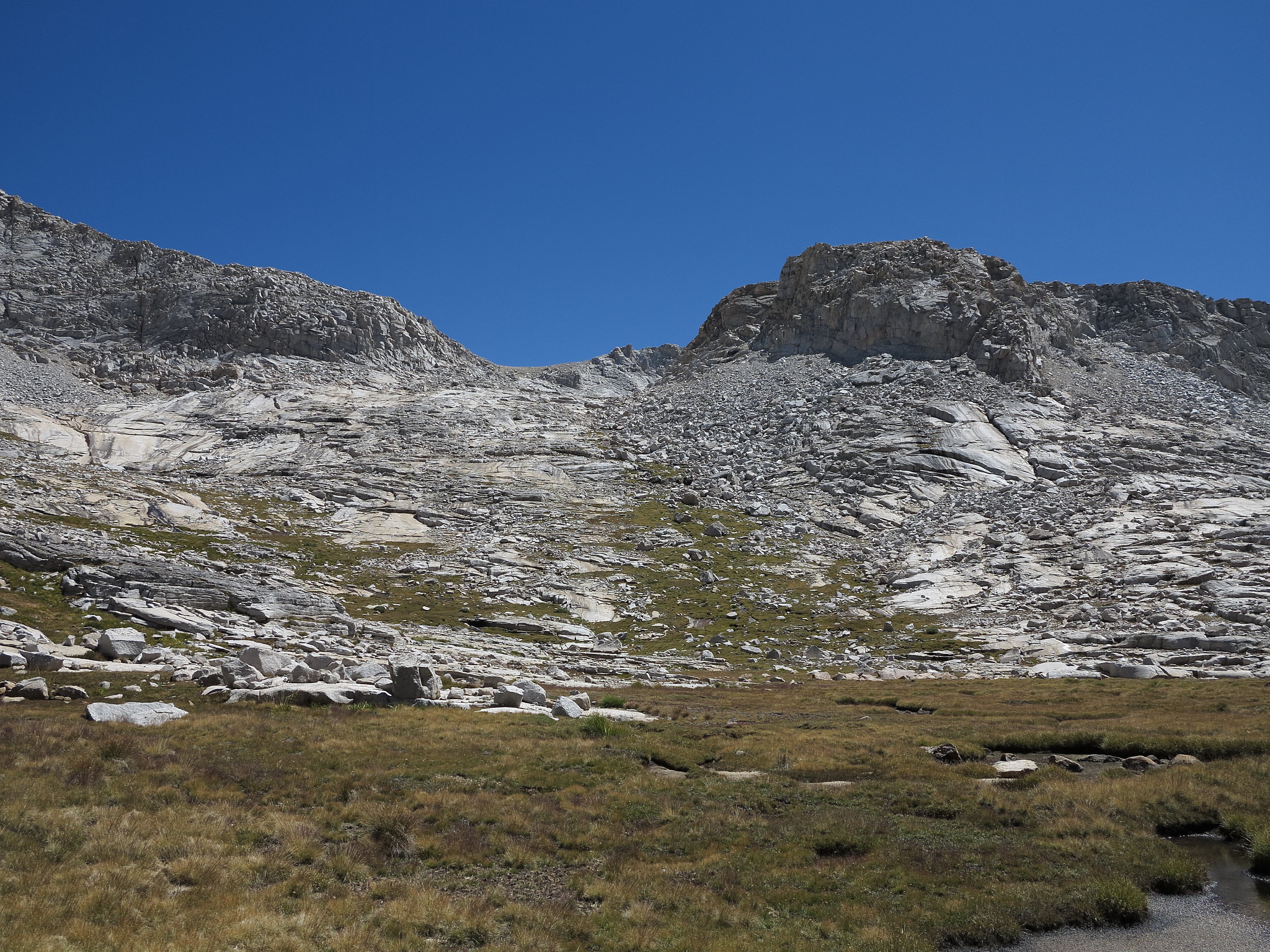
ROUTE DESCRIPTION: From Brewer Creek begin up grass slopes on the East side of the drainage coming down. This will turn to slabs. Continue on the slabs fairly close to the drainage the whole way. A couple shelves can easily be zig zagged up.
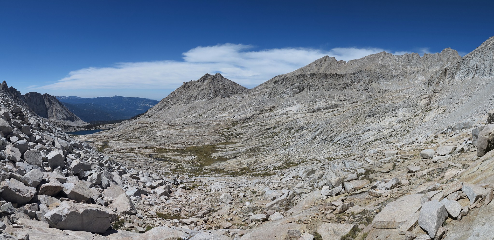
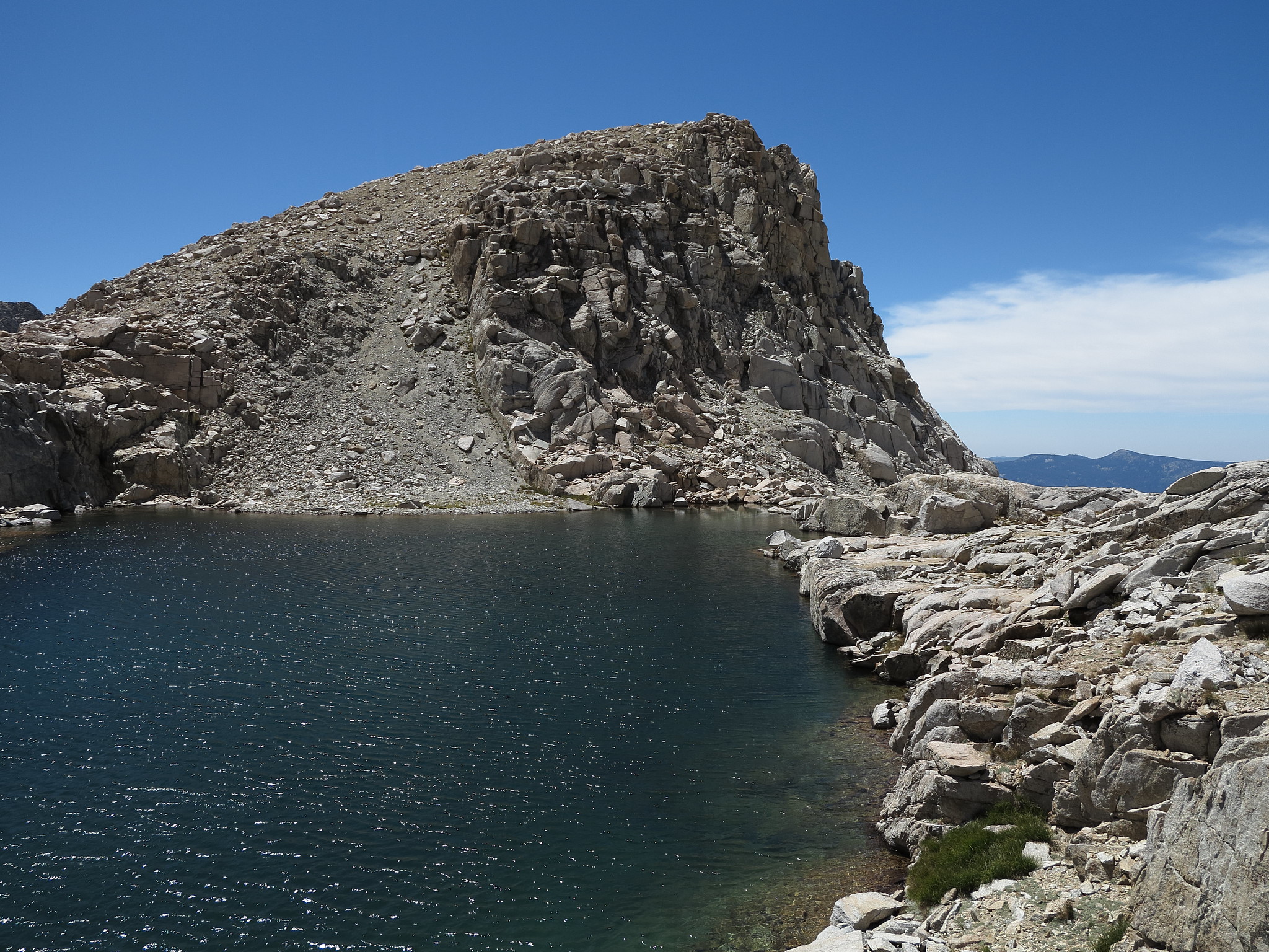
The top will have you at a small rugged lake that offers nice rock jumping locations. Either side of the lake can be navigated but if your headed for South Guard Lake you will have to choose carefully as the terrain here is a mix of small glacier cut ribs that can trap you between them. You can easily find yourself on high level class 3 or worse if you don't follow the right path. Unfortunately a detailed description through here is impossible.
Although either side of South Guard Lake can be taken I recommend the East side.
Last edited by RoguePhotonic on Thu Jan 08, 2015 5:18 pm, edited 1 time in total.
I took this route on my very first rout finding trip. We left Sphinx Lake quiet late and because of this difficult to find route near the top and having had the difficulties you aludide to I felt fairly lucky to have arrived at South Guard Lake with ¨saint¨ Diane.