I have 3 so far (Onion Valley to Whitney, Onion Valley to Rae Lakes, and North Lake to South Lake) and will continue to add from both past and future trips.
Here is the summary for my latest trip.
Day 1:
I parked my car at the Whitney Portal trailhead and took a private shuttle to the Onion Valley trailhead to begin this trip. These shuttle services are invaluable for the solo hiker out on a point to point trip. Last year's trip began here as well but headed north to Rae Lakes instead. This year, my plan was to head south so after the familiar grind up to Kearsarge Pass, I took the fork down past Kearsarge and Bullfrog Lakes and camped at Upper Vidette Meadows along Bubbs Creek the first night. Although a nice area, I was looking forward to big mountain scenery and high alpine lakes.
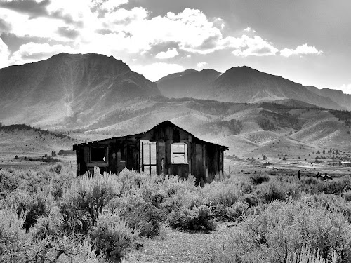
Cabin along US395
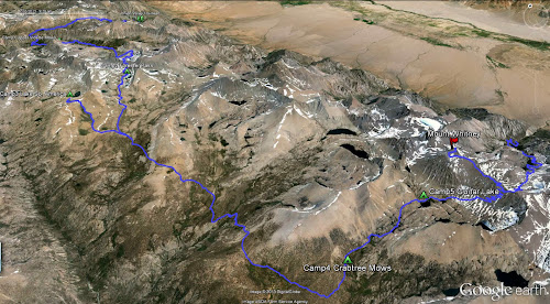
The Route
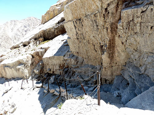
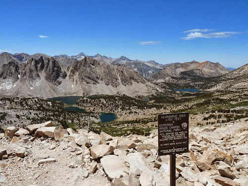
Top of Kearsarge Pass overlooking Kearsarge and Bullfrog Lakes
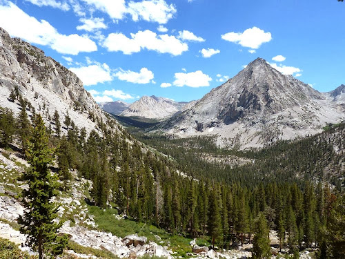
The iconic East Vidette and Vidette Meadows
Day 2:
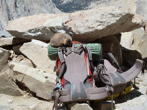
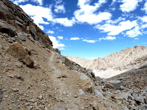
The next day was the most difficult for me as I was not able to find a good hiking rhythm up to Forester Pass, stopping frequently to catch my breath. I blame it on the high elevation and an overly stuffed backpack. But I enjoyed the scenery and companionship of a few marmots along the way.
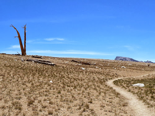
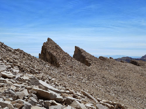
The trail that keeps going up
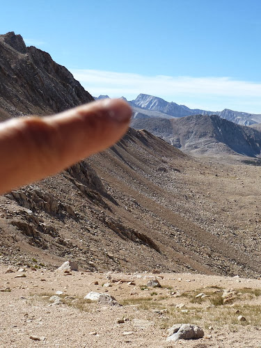
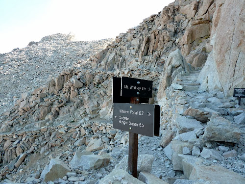
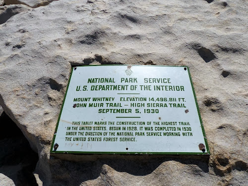
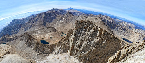
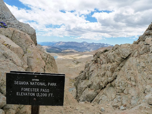
Top of Forester Pass, the highest point along the Pacific Crest Trail
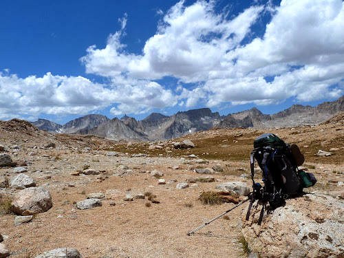
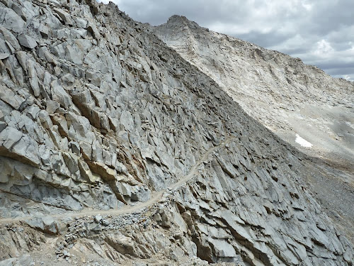
Trail down the south side of Forester Pass
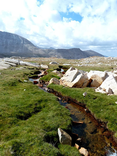
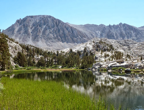
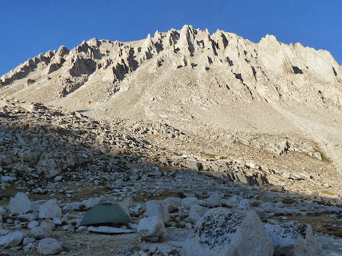
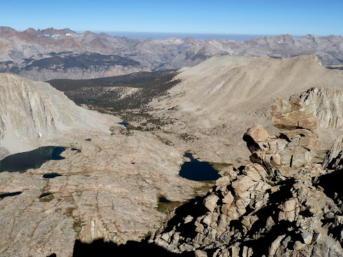
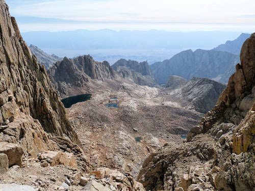
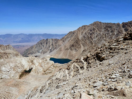
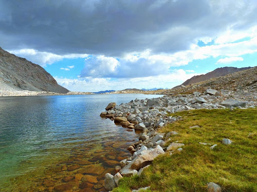
Lakes below Forester Pass

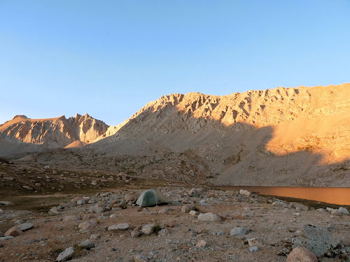
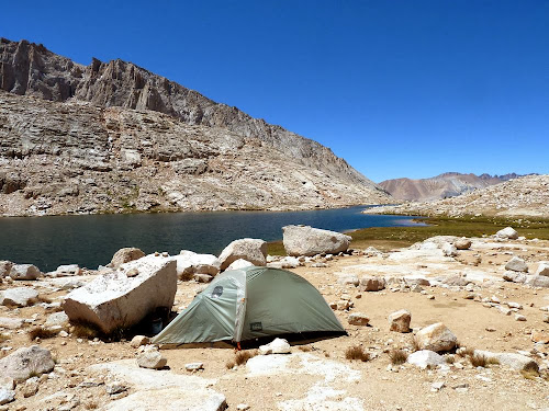
Camped at this lake below Forester Pass
Continued