Member descriptions, photos, and map locations of Cross Country Passes in the High Sierra. This forum is for information only - discussions should be kept in the appropriate categories. This forum is a component of the HST Map. We need your help to complete the database, so please contribute!
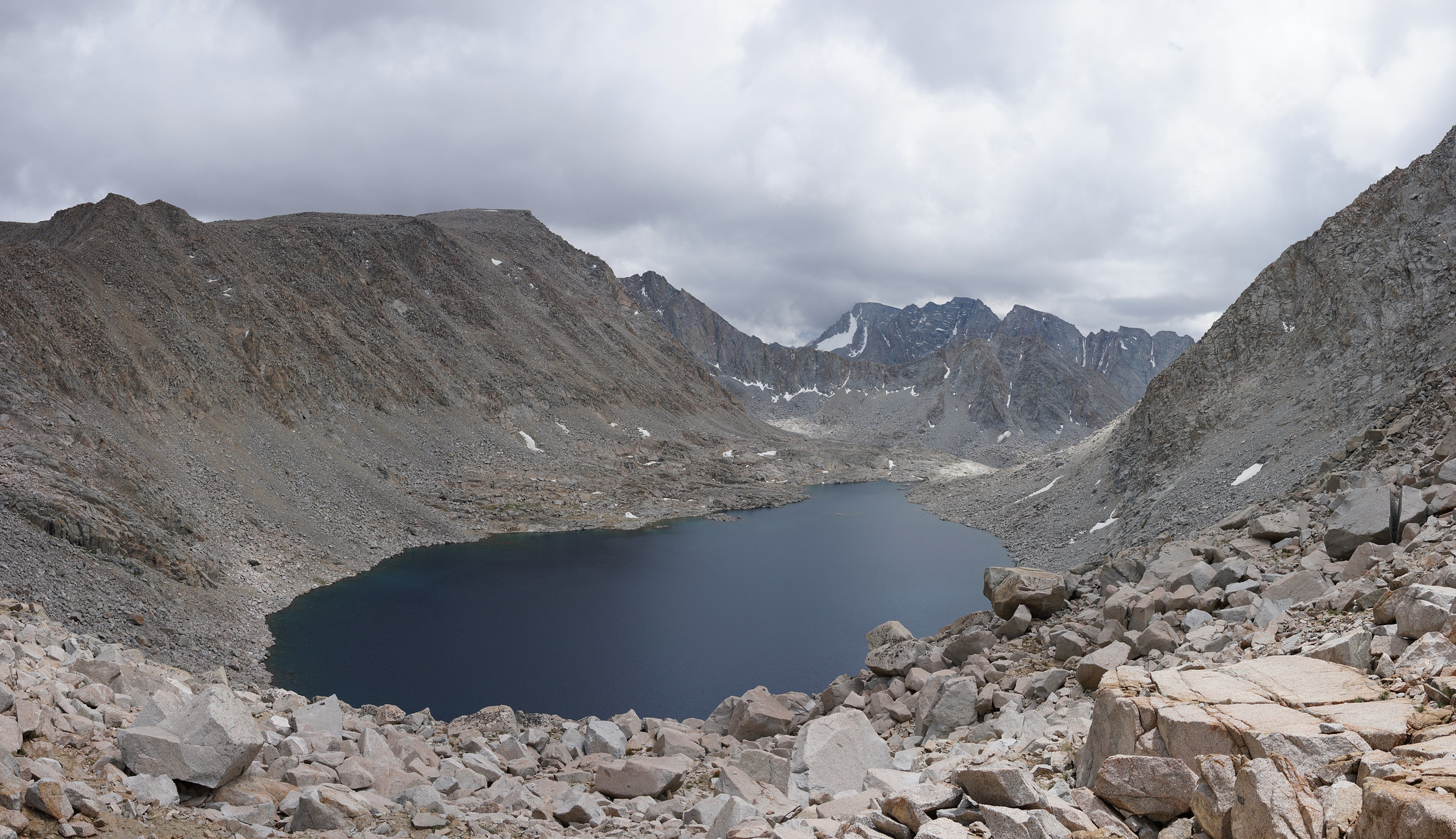
GENERAL OVERVIEW: This pass leads between the upper Darwin Bench and Lake 11,910 to the Goethe Lakes and Humphreys Basin.
CLASS/DIFFICULTY: Class 2
LOCATION: SW of Muriel Peak, NE of Mt. Goethe. Bordering Kings Canyon National Park and the Mono Divide area. Sierra National Forest / John Muir Wilderness HST Map
ELEVATION: 12,350
USGS TOPO MAP (7.5'): Mt. Darwin
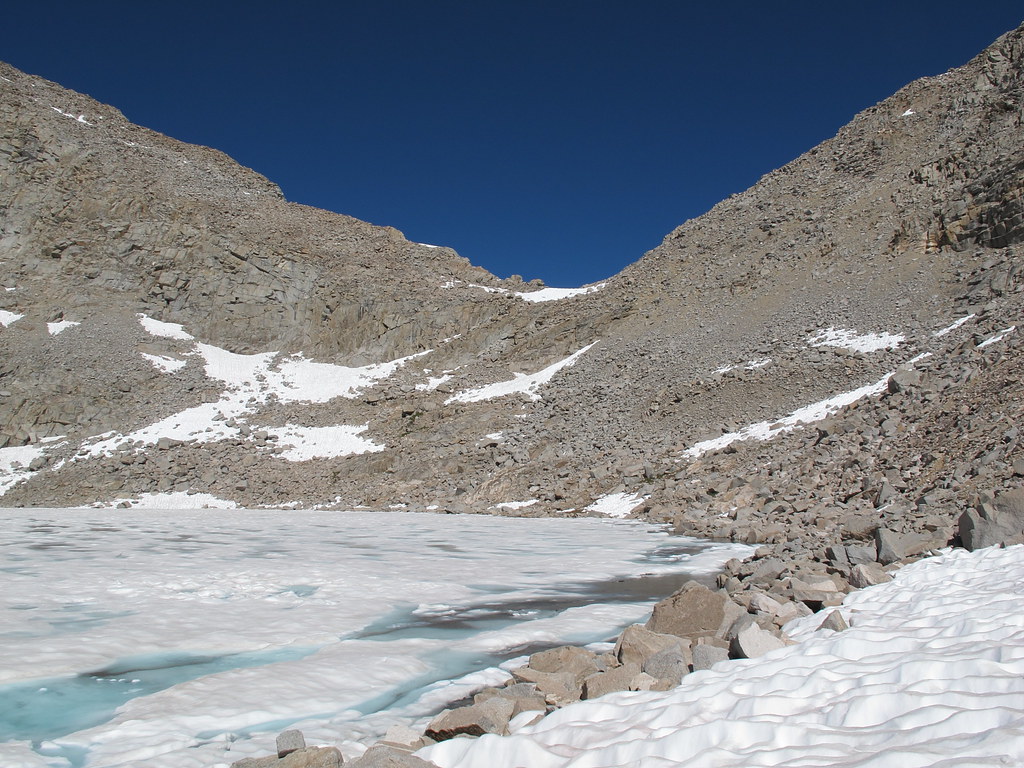
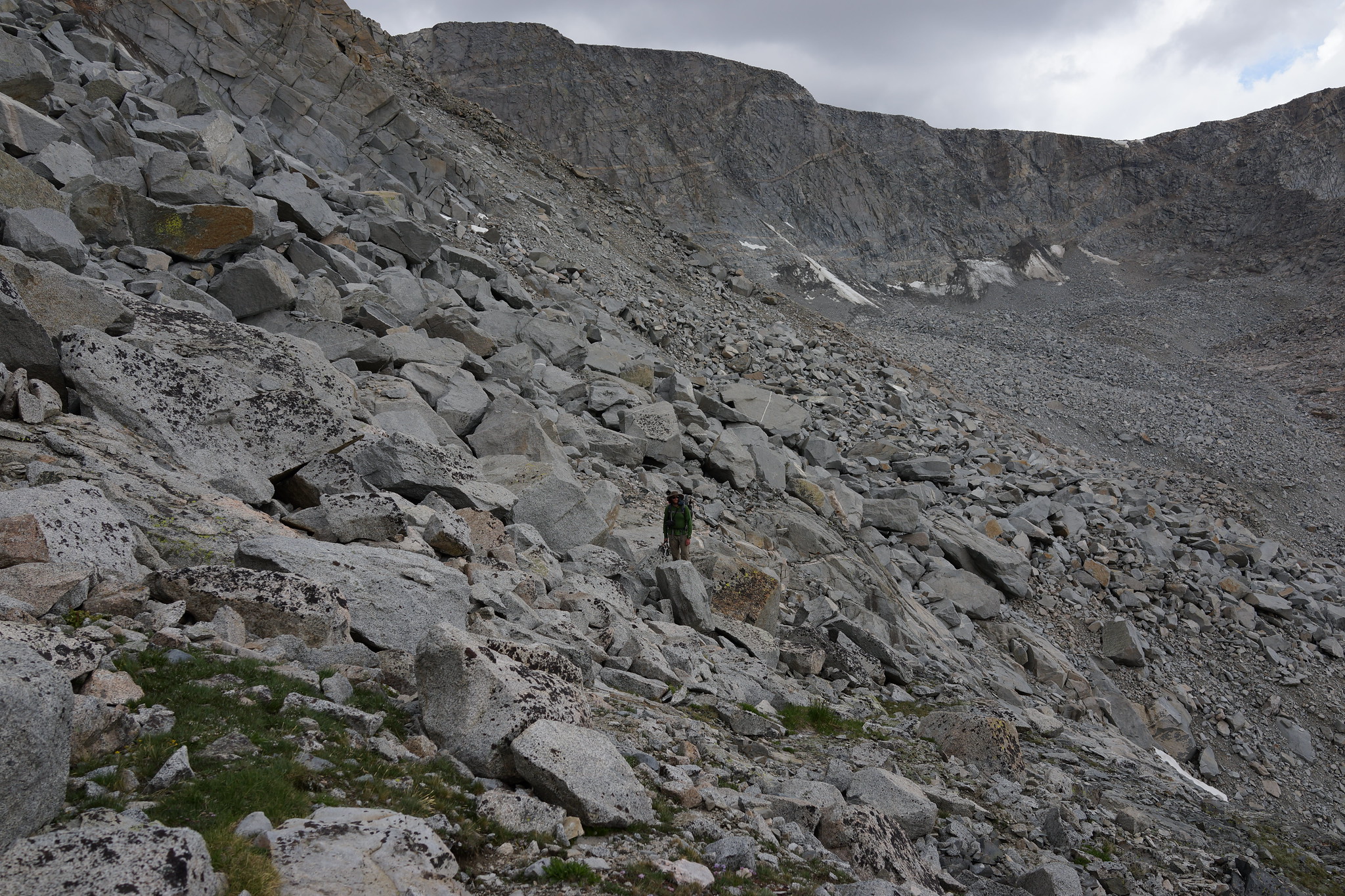
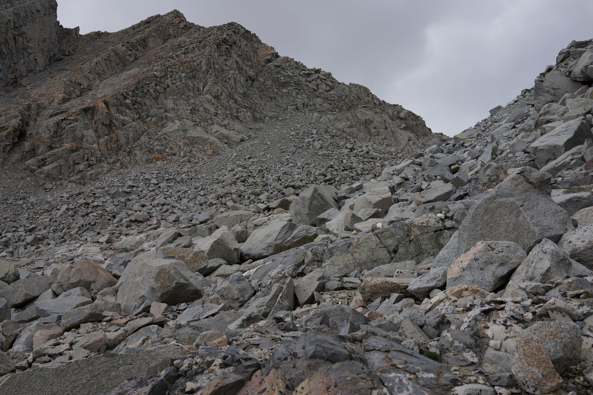
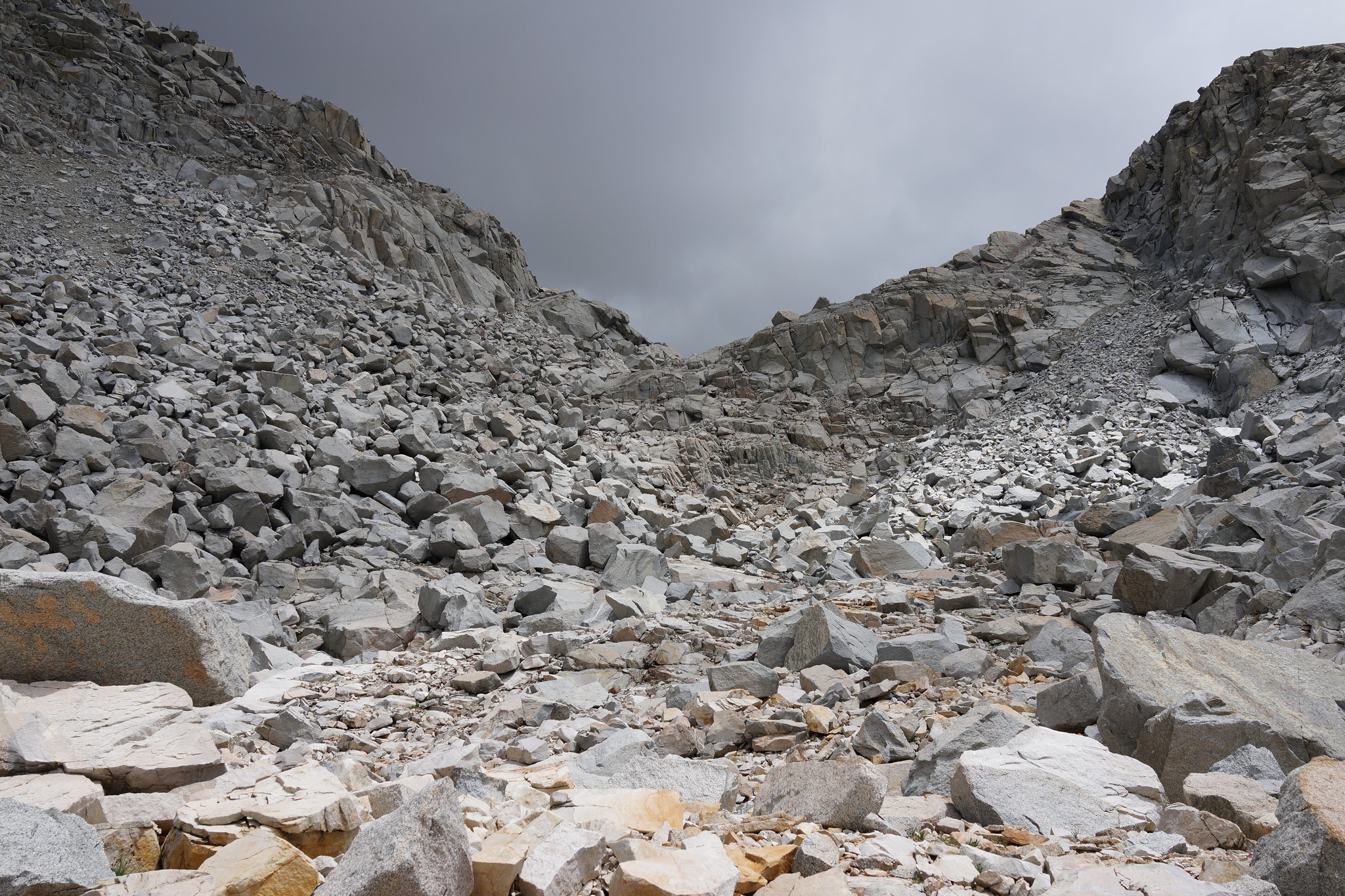
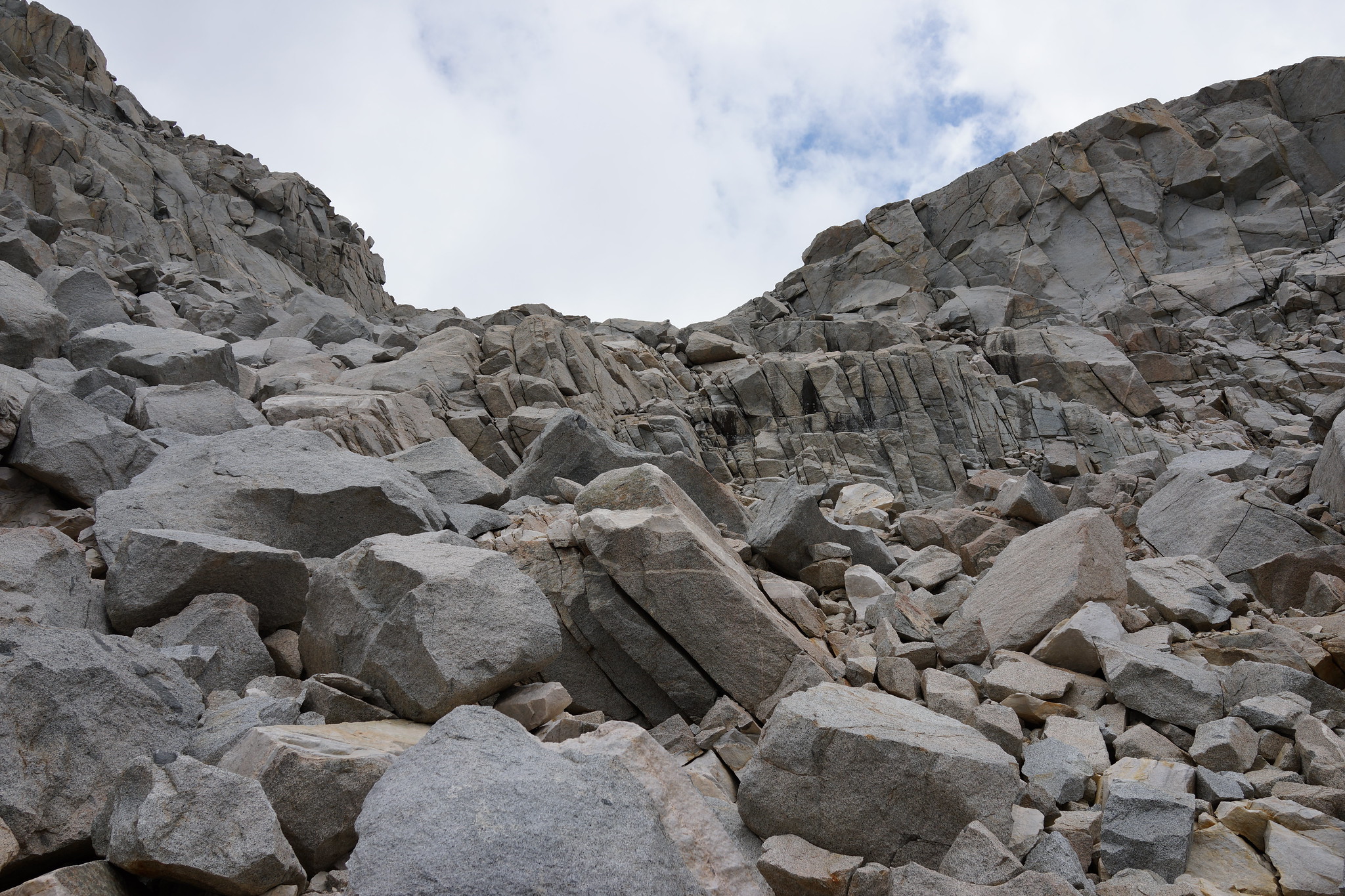
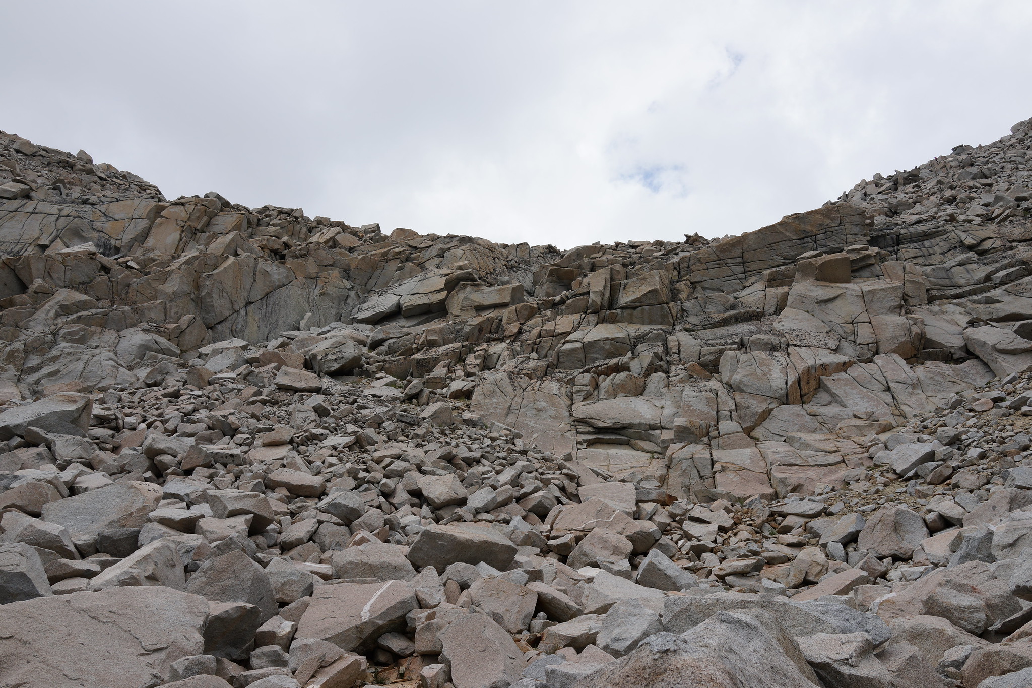
ROUTE DESCRIPTION: Take the Eastern side of Lake 11,910. Before you are directly under the pass begin angling up past some bits of grass. There are 3 rock outcroppings that form small cliff faces. Between these are two sections filled with some mixed talus. Aim for the one on the right. Once you have passed the major rock outcroppings it's an easy walk to the top.
Drop down the pass slightly and angle left onto smaller talus slopes. Continue to drop down until cliffs are in front of you. From here you will have to either choose to go right or left. The right side has very large talus fields. Off hand I would recommend going left but due to the amount of snow present when I crossed it I cannot comment on the nature of the terrain.
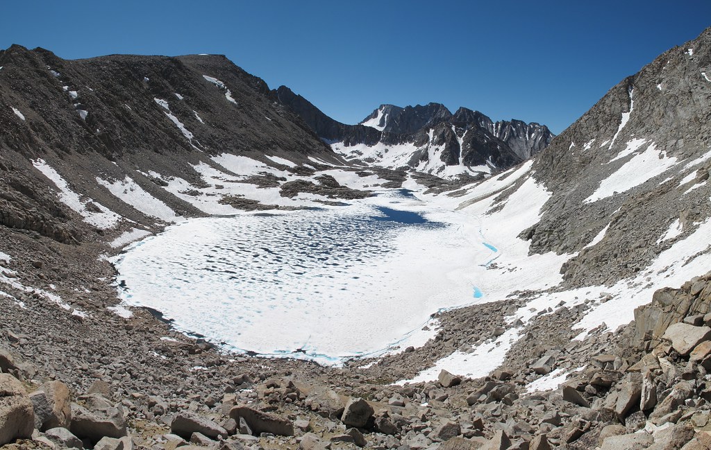
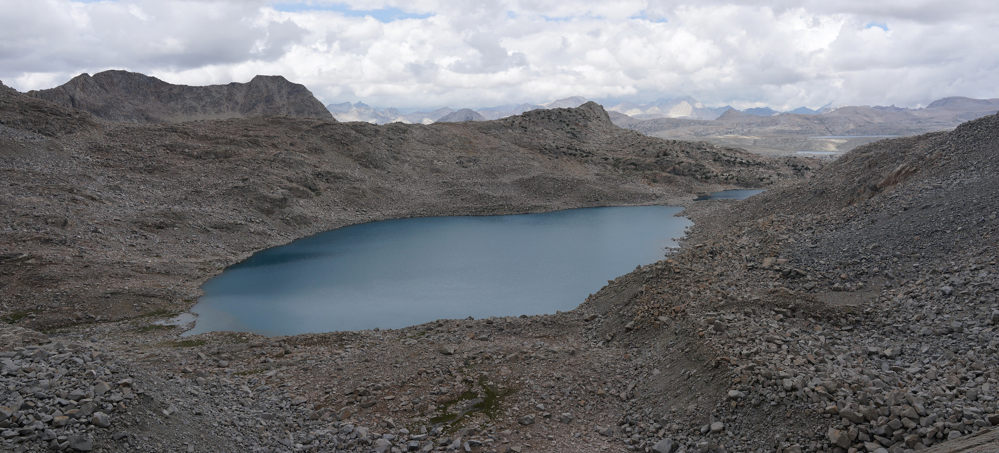
Make sure to take the Western shore of Goethe Lakes!
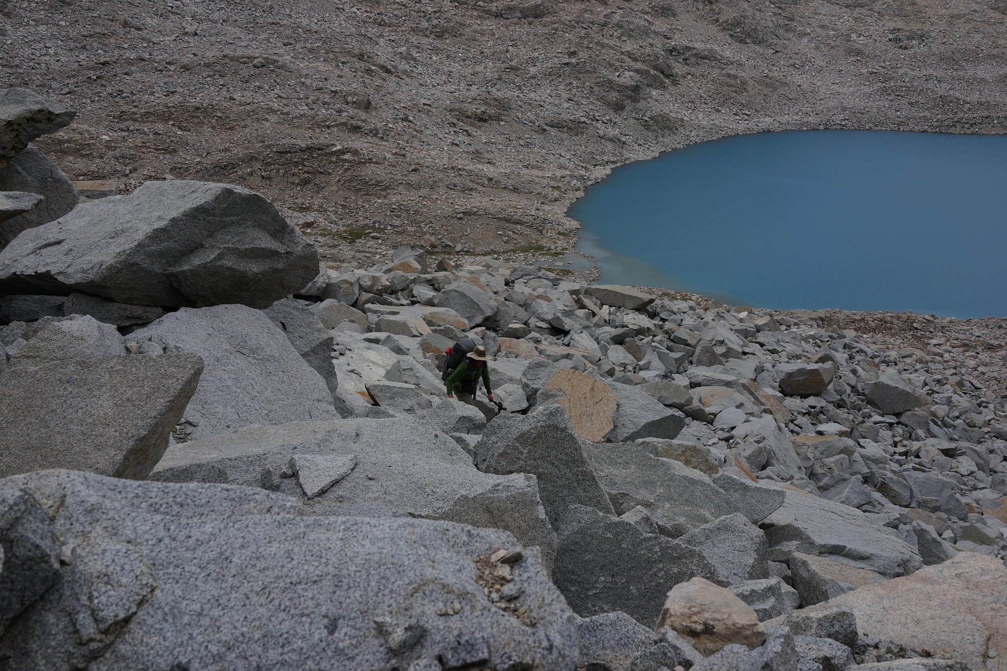
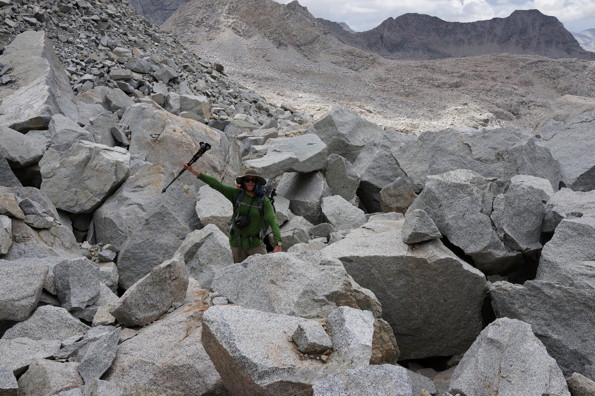
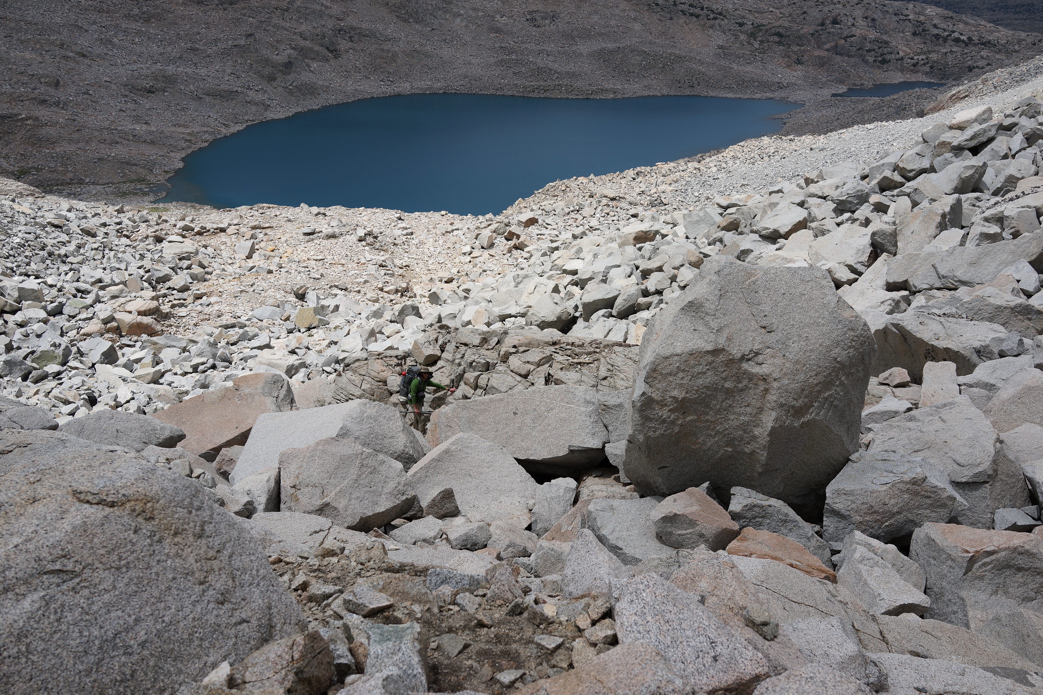
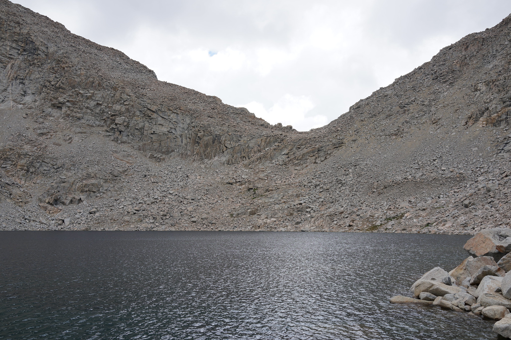
I was there late season with little snow. I descended, tried to go left from the cliff band and could not find a good route (talus looked unstable and too steep for me), so traversed the top of the cliff right quite a ways (slightly dropping) and found a use-path through a tight slot that primarly is on steep dirt and scree. When down past the cliffs, turn left again and aim for the inlet of the lake, then traverse the left side to the outlet. I tried both staying near the shore and about 100 feet off the shore and it was six of one, half dozen other. A case for staying off the shore is if there are lots of those nasty gnats or black flies.
I crossed this pass again this year this time from Goethe Lakes. We went around the Western shore which is a bit further and still involved plenty of talus hopping but not the unstable and horrible nature of the East side. Once we started up the pass although the amount of talus is an issue the over all stability of it is quite good.
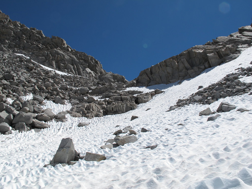
I realize that Rogue covered this pretty well both with snow and when most of the snow has melted, but this off-trail pass is one of the best examples I know of as an example of how helpful snow can be for avoiding some of the interminable boulder-hopping that this route normally entails. The same is certainly true of certain other routes, but since my wife captured some excellent shots as we were recently heading over this ridge, I felt obliged to share some additional shots. I know that I donated blood to rocks on my other times over Alpine, but this one left me unscathed, so I highly recommend doing Alpine early. Views from the ridge are not too bad either!
ac.jpg
ac1.jpg
ac2.jpg
ac3.jpg
ac4.jpg
You do not have the required permissions to view the files attached to this post.
We crossed Alpine Col north to south. Our day started at the west end of Goethe Lake (amazing place to camp) and ended at Darwin Bench. We moved relatively quickly, but with some leisurely breaks, and it took around five hours. We found ascending the north side not too bad, but the long circumnavigation around the lakes getting to Darwin Bench was the tedious part in our opinion. Our route is shown in the photo and I really don't think there is another "easy" way. Going any other way through the cliff band (or on the other side of the cliffs) looked no bueno.
You do not have the required permissions to view the files attached to this post.