
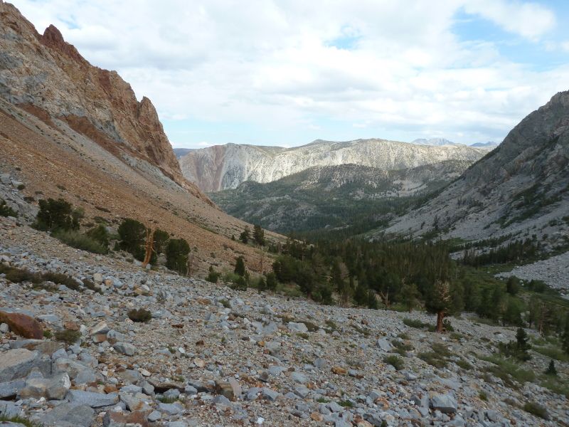
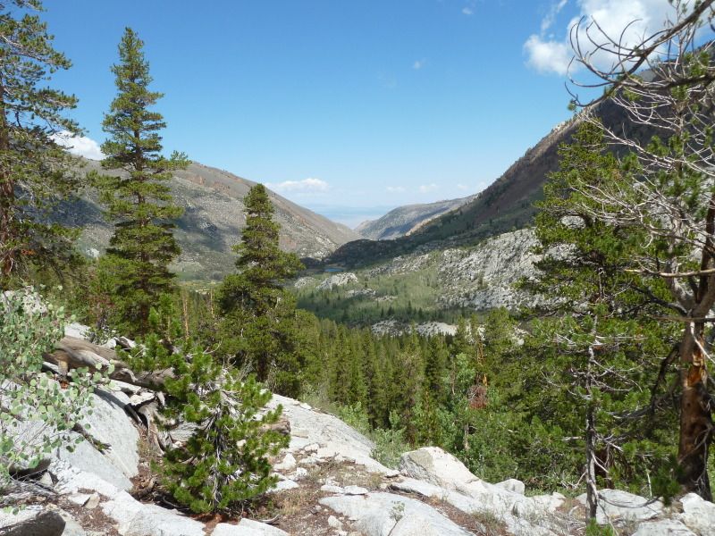
So we started out from North Lake on the afternoon August 17 under cloudy skies. Here is a photo looking back down the valley.
We stayed at Loch Leven, and then headed up to Piute Pass the next morning.
Looking out the west over Piute Pass
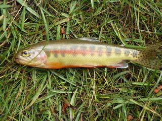
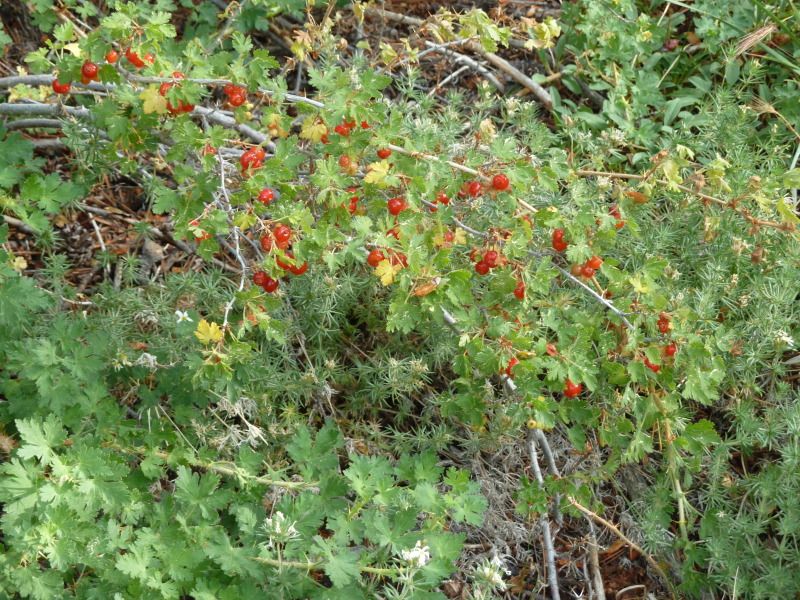
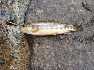
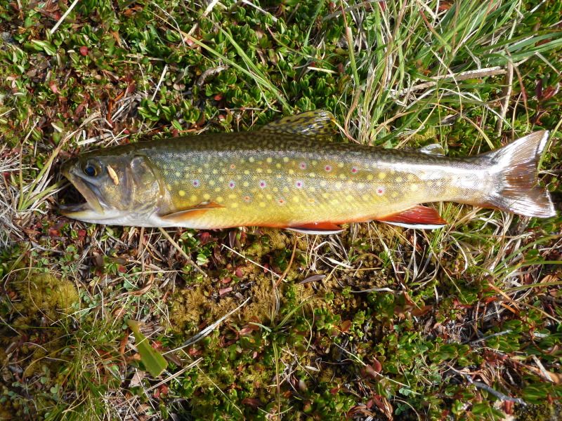
With rain pending, we pulled into Hutchison Meadow and set up camp. I spent the rest of the afternoon dodging showers and chasing these fellows
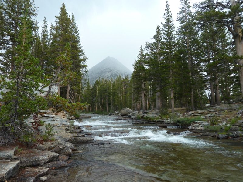
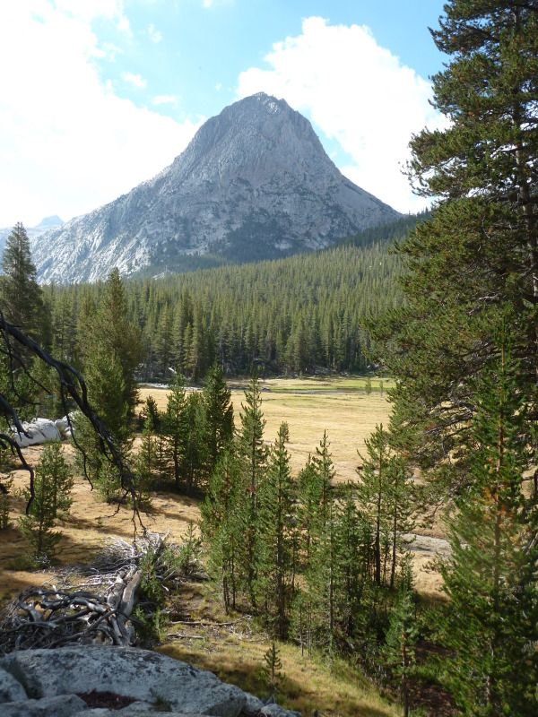
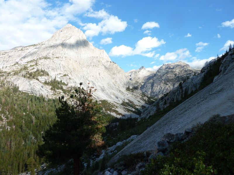
Here’s a look up Piute Creek to Pilot Knob
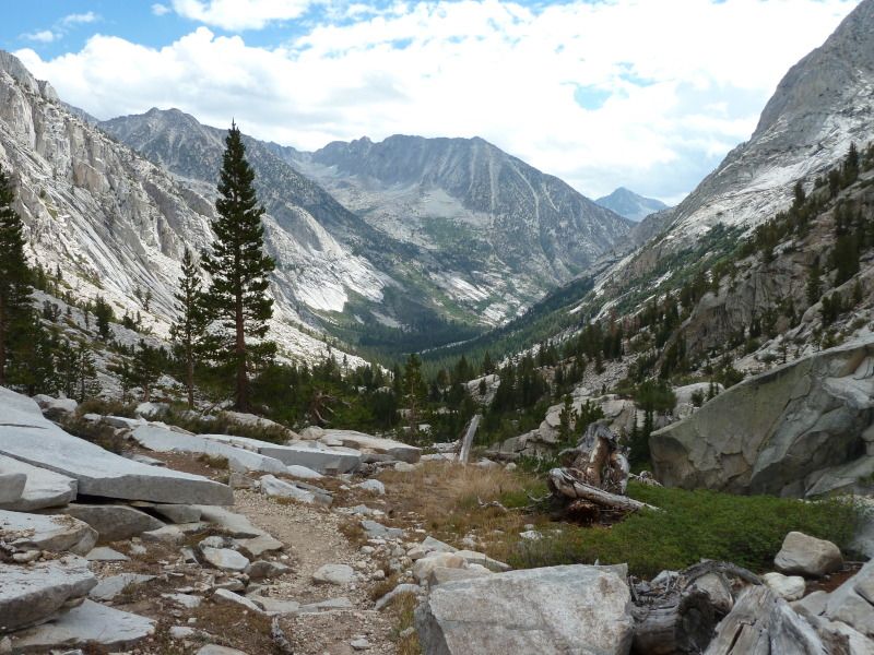
The next day, 8/19, we continued down the canyon
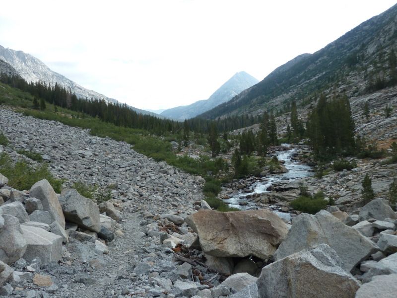
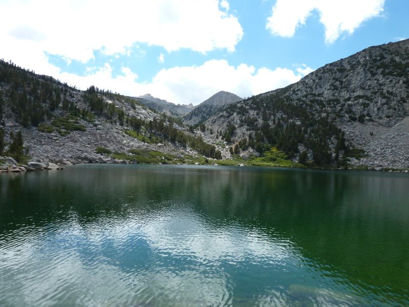
The currents were good in spots:
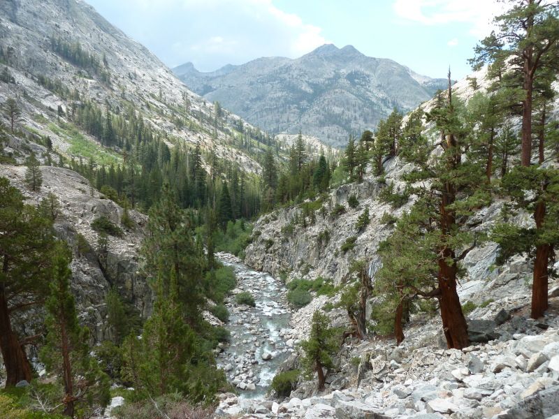
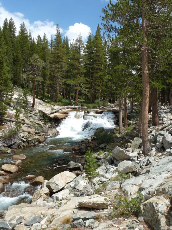
We came down to the PCT and then headed up to the Evolution Valley, passing these falls on the way up.
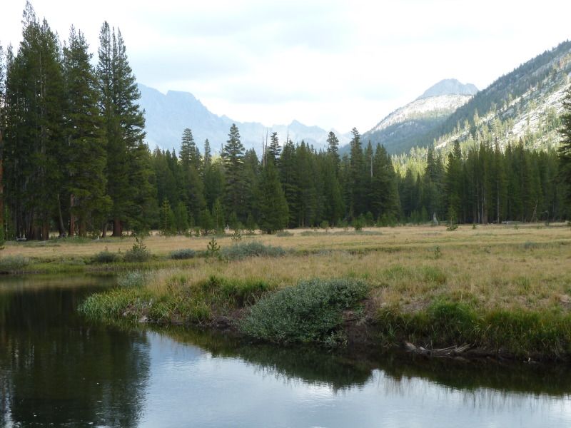
Evolution Meadows were worth the climb:
We found a good spot early afternoon and watched the thru hikers desperately searching for a place to park as the sun went down. We always made a point of knocking off around 2:00 so we could really enjoy the place we hiked to.
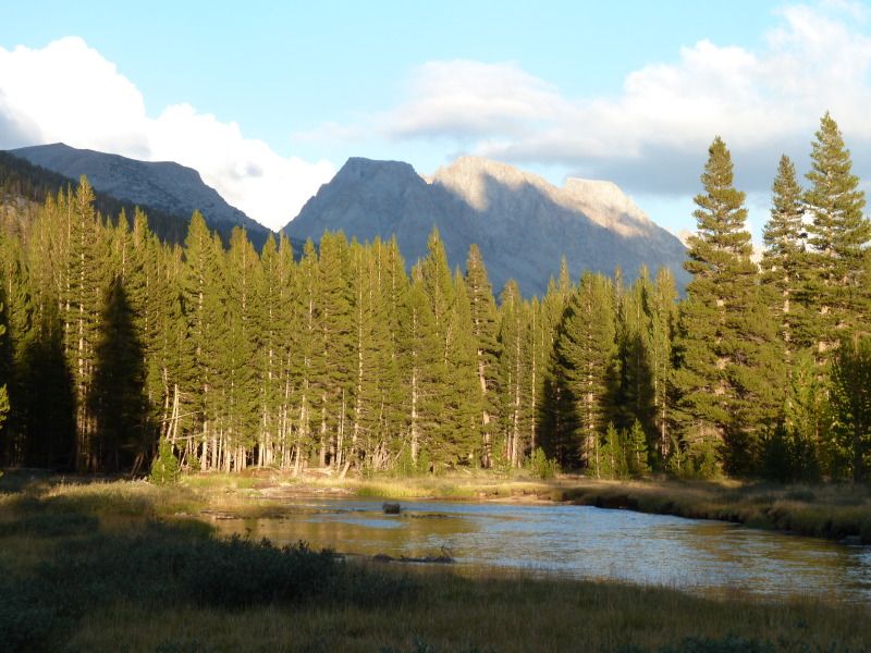
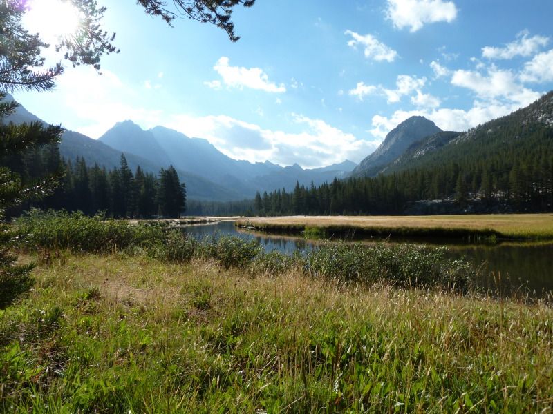
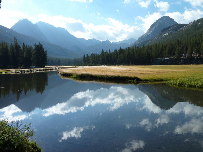
Next morning, 8/20 we continued up the Evolution Valley:
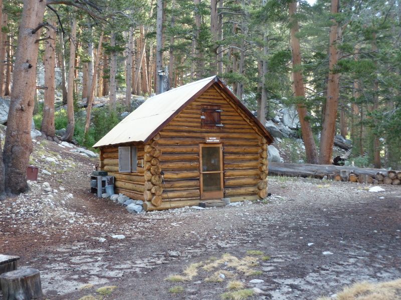
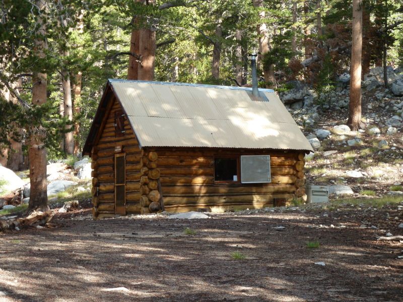
Passing a cabin that is quite familiar to a member here:
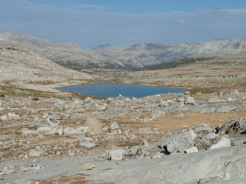
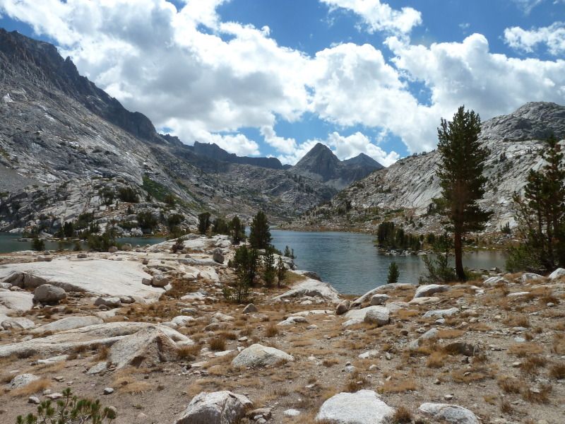
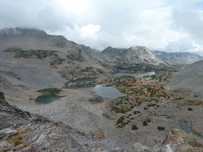
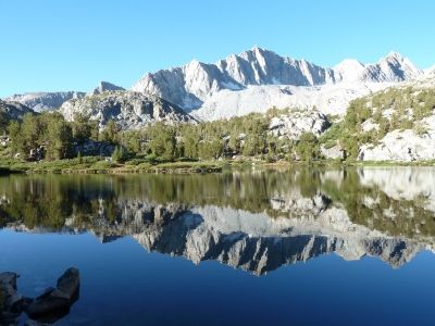
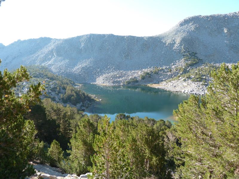
Finally, we came up to Evolution Lake:
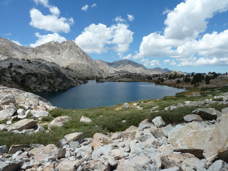
I wanted to stay and fish, but we needed to get up the trail a bit more to Wanda Lake.
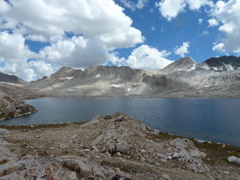
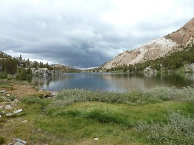
We found a nice camp a Wanda, off the lake and the trail, providing a great view.
I wasn’t sure if there were fish in Wanda, so I rigged up and threw my iron. I watched this gull fishing and saw him catch something, a bit dark for a trout, but I thought that was a good sign.
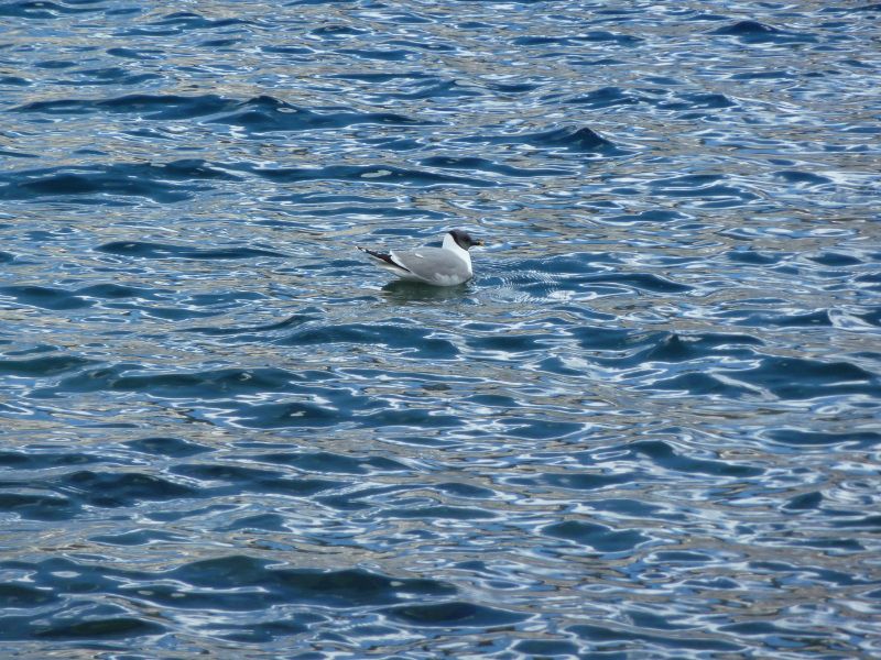
I continued working my way down to the outlet, looking for those elusive trout. Finally, when I got to the shallower water, I saw what the gull was “fishing” for: Tadpoles! Oh No! A new threat to the frog! Gulls! Well, I did see lots of tadpoles and frogs, so no fish. Wanda seems to be a froggy lake.
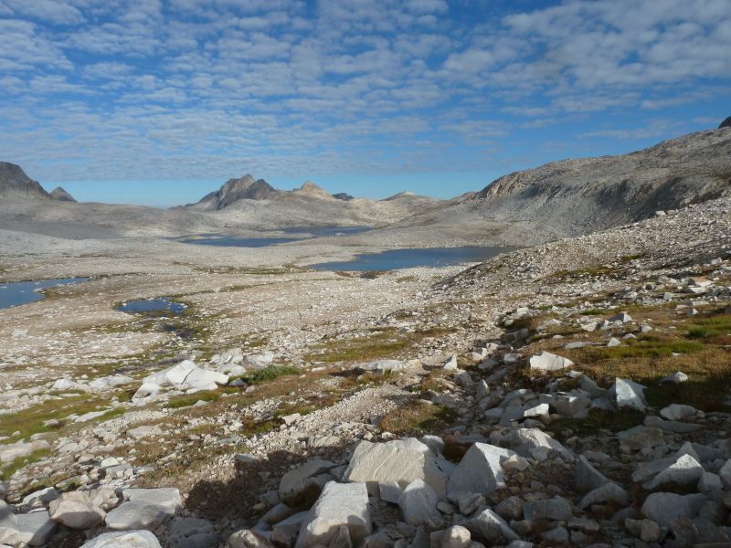
Next morning we headed up to Muir Pass, looking back a Wanda Lake
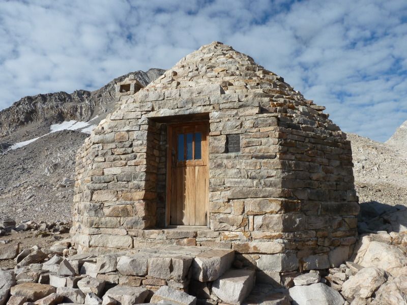
Here is my trophy view of the Muir Hut
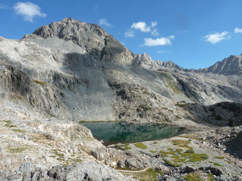
Down, down, down, to Le Conte Canyon, the plunge began, passing Helen Lake:
Into the canyon:
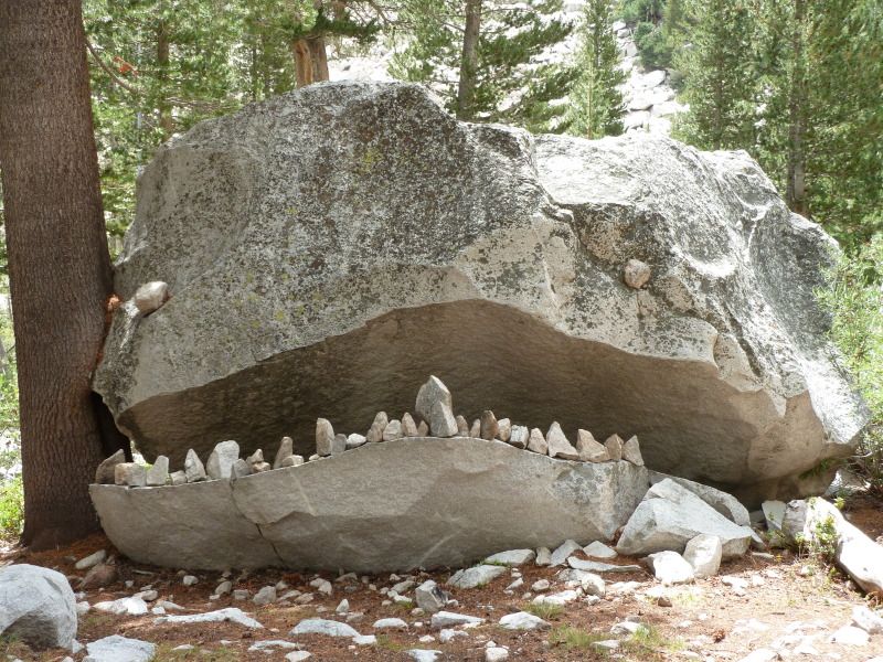
And past, the most terrifying of sites to the trail hiker, the Le Conte Rock Monster!!!
We camped down the trail from the ranger station and I spent the rest of the afternoon looking for gold:
Next morning (Wednesday, August 21) we began our climb out of the canyon and up to Bishop Pass.
As we approached the pass, the mist blew in and it was cold and nasty. Had to put on a layer. None to hospitable. We descended quickly and were soon met by a blast of warm air. We quickly pulled off a couple of layers and scratched our head over the weather. We should know that the blast of hot air would lead to some even nastier weather. When we reach Bishop Lake the rain began, quickly turning to hail. Thunder boomed and yet fools continued to hike up the pass. I am constantly amazed that people will risk electrocution to get over a pass.
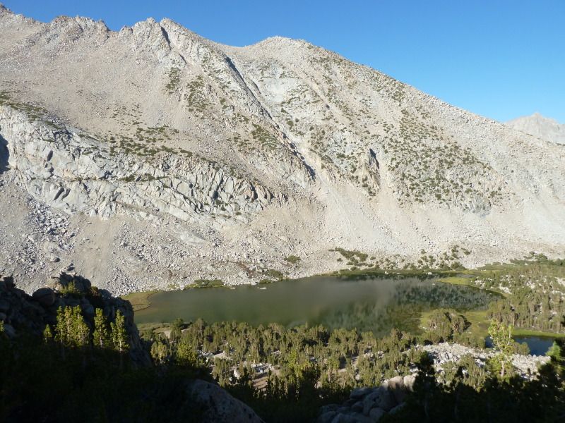
We hid under some trees while the thunder boomed and the hail fell. We had hoped to camp at Bishop Lake, but the elements were working against us. After an hour, the rain/hail slacked for a bit and we quickly rolled down the trail, finding Long Lake much more friendly.
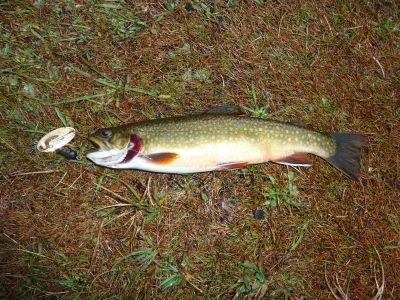
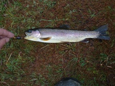
We set up camp and got rained on for dinner. After the rain stopped, I pulled a nice brook and rainbow out of Long Lake.
A young couple pulled in around 6:00 and set up camp next to us. They had attempted the pass and turned around, as wise move. They were cold and wet. They bugged out latter while we slept.
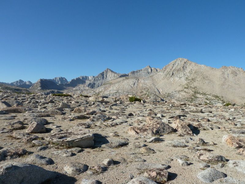
Next morning dawned clear. The look back up the mountains was glorius:
We continued down to Parchers, hopped on the road, and rolled down to the Tyee Lakes TH. The climb as steep, but the view could be good.
We climbed up to the first Tyee Lake and camped there.
Lots of skinny Brooks.
Next morning we continued up Table Mountain. Here’s the Upper Tyee Lake
Then, up to the top of Table Mountain:
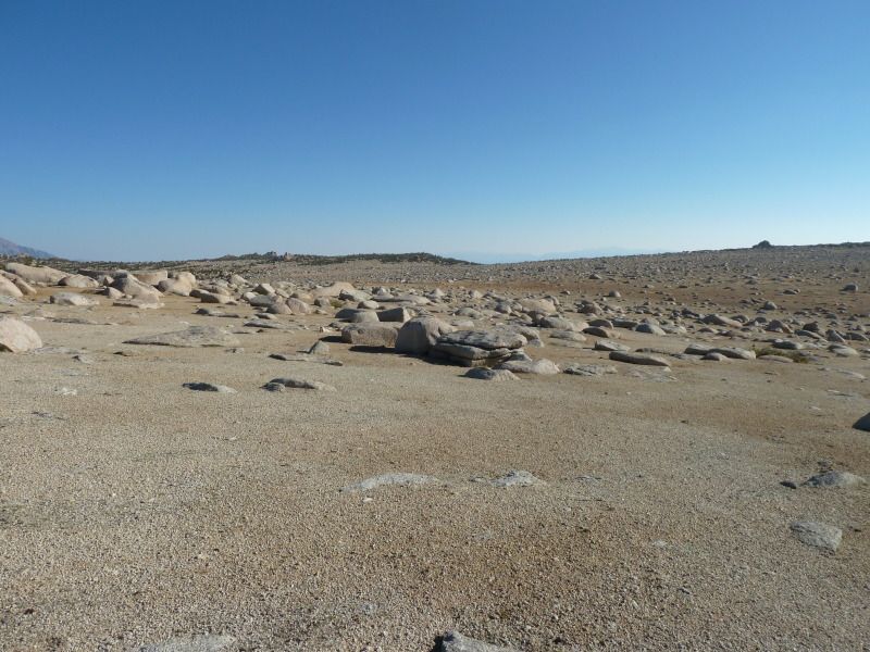
My GPS shows 11,600 elevation at the Table Mountain Pass.
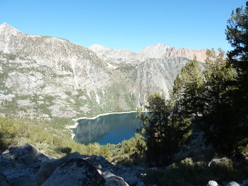
Coming down, we went by George Lake:
Before dropping down to Lake Sabrina:
Then back to the car at North Lake. Total trip: 70.5 miles


