
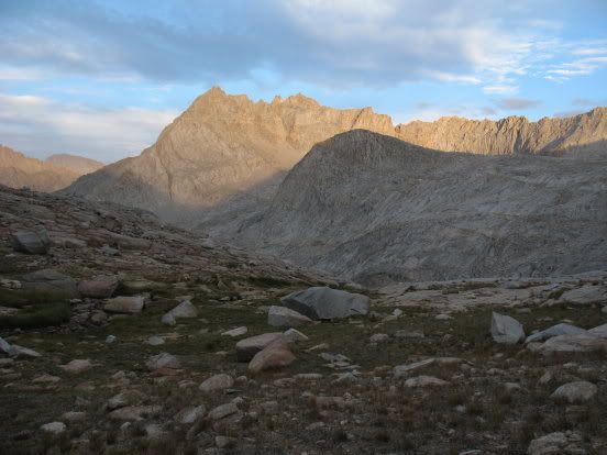
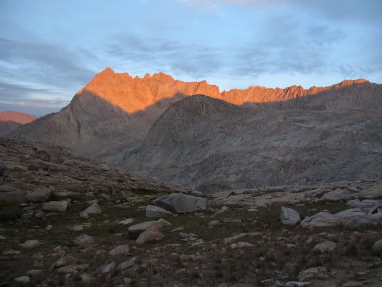
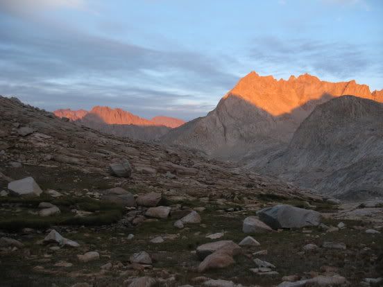
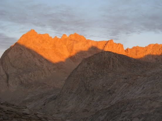
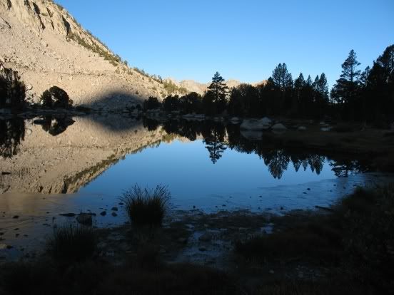
On the 28th, our tenth day on the trail, we woke early to another gorgeous Sierra sunrise.
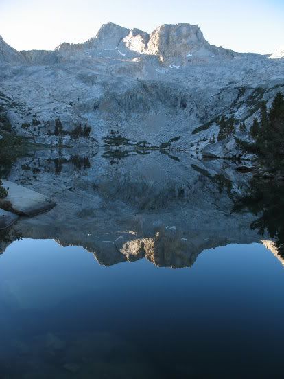
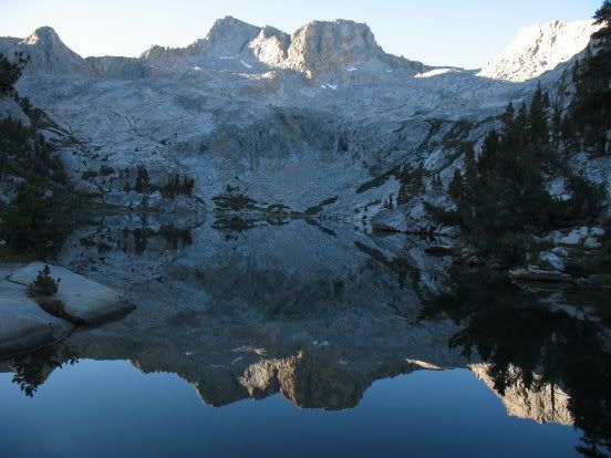
My back was still bothering me a lot -- it felt like a cheese grater was at work on my spinal cord. It hurt to get out of my sleeping bag. I took some more Advil and moved around gingerly, knowing it would loosen up as the day wore on. We ate breakfast at the edge of the lake. Van brought out his tripod and assorted lenses and filters to capture the brilliant sunrise. The surface of the lake was utterly calm, mirror-like, except for the occasional ripple caused by a brookie breaking the surface.
We took it easy this day, enjoying a leisurely hike down to Big Wet Meadow.
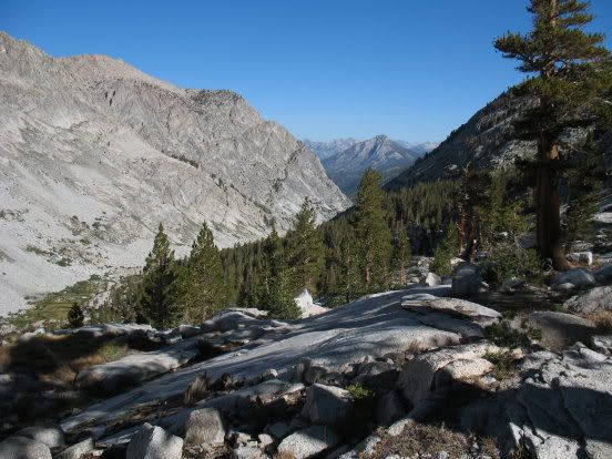
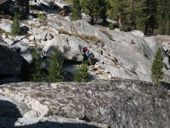
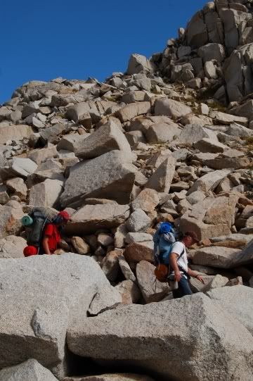
Heading down:
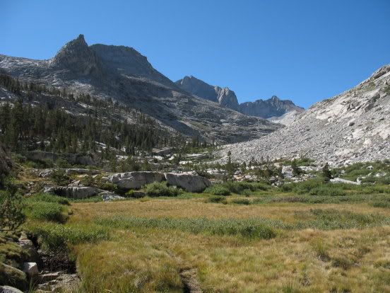
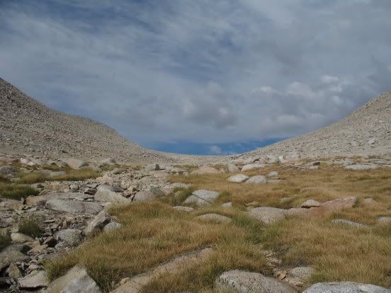
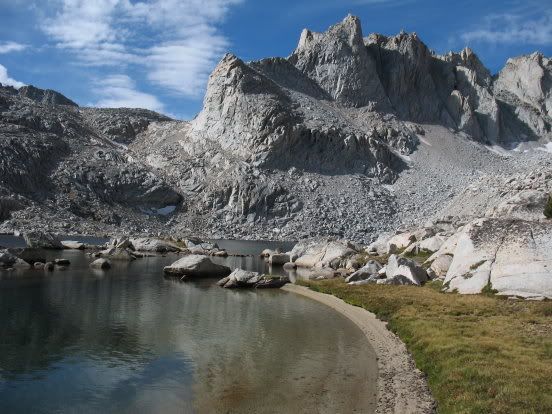
High meadow:
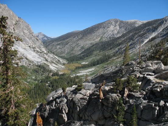
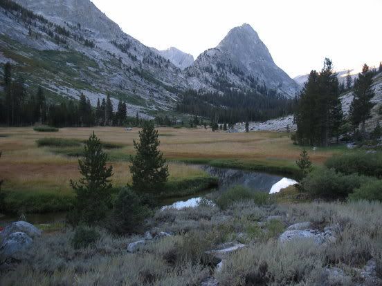
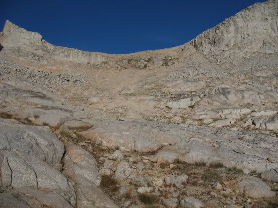
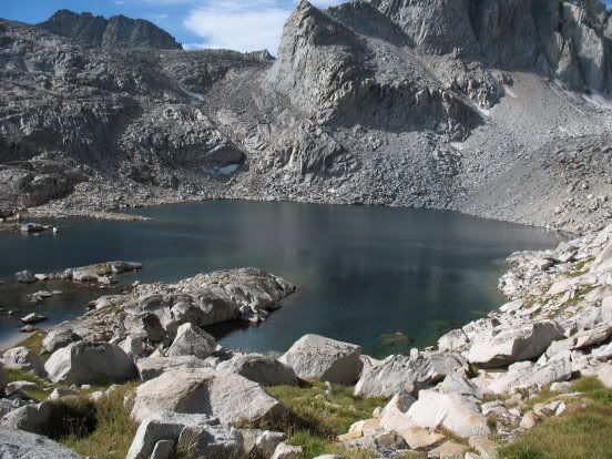
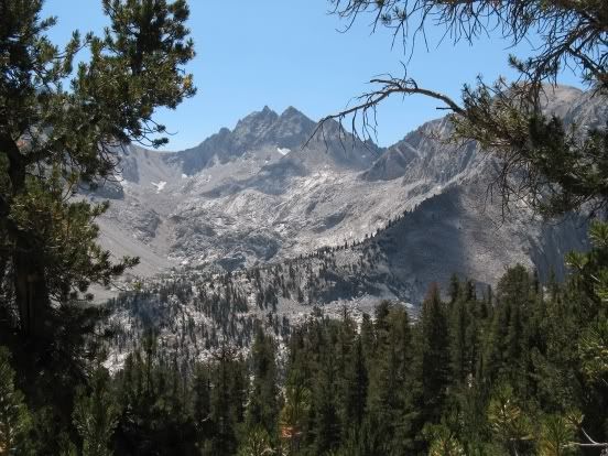
First View of Big Wet Meadow:
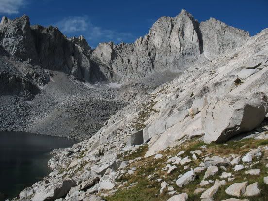
The trail down:
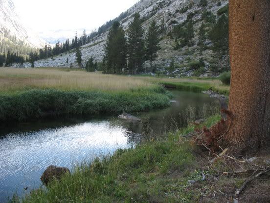
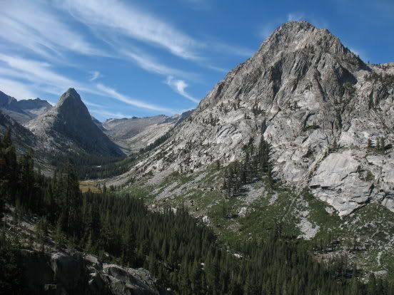
We found a great campsite on the western side of the creek, about a quarter of a mile upstream from the horse camp at Cement Table. There is a fine view of The Whaleback from this camp. And virtually no skeeters this late in the year!
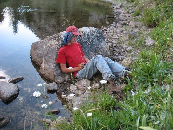
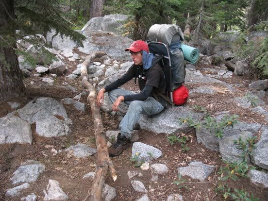
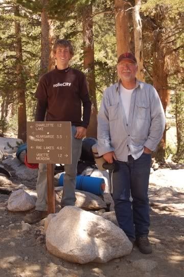
Andrew kicking back:
We had planned to hike up Cunningham Creek on the 28th, but decided it was prudent to rest my back and shorten our route, foregoing Harrison Pass and Russell-Carillon Col for the easier Kearsarge Pass. So we took it easy on the 28th, hoping R & R would ease the pain.
The next morning, I popped more Advil and tried to forget the cheesegrater in my back. We watched deer foraging in the meadow, than strapped on our much lighter packs and headed down the trail, which quickly tranisitioned from open meadow to deep forest. Well before Cunningham Creek intersects the trail, we left the trail and worked our way up the shoulder just south of the Cunningham drainage.
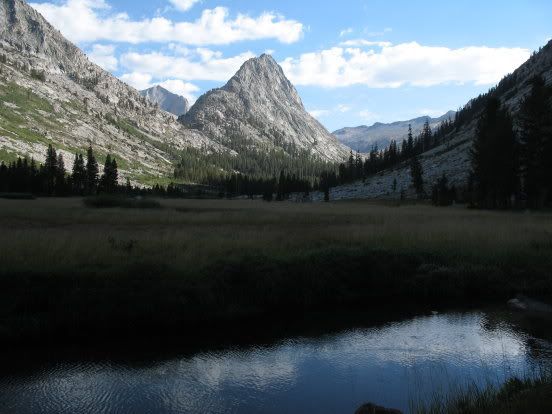
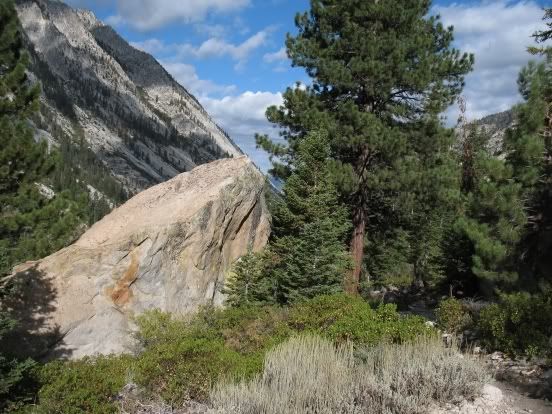
Here's a view looking back at The Whaleback:
We soon encountered thick underbrush and, higher up, manzanita. We crossed to the north side of Cunningham Creek, aiming for relatively clear but steep footing, then crossed the creek again, where we found a bench with gently sloped forested terrain and eventually picked up traces of an old use trail. My back was feeling surprisingly good, provided I didn't make any jerky motions or missteps.
We were soon in Alpine terrain again, just below South Guard Lake.
Here's a view of the easy west side of Longley Pass:
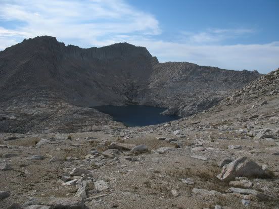
Looking down on South Guard Lake:
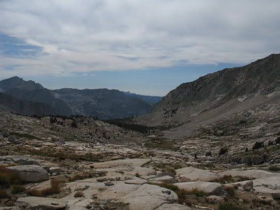
The view east from the top of Longley Pass:
The east side of Longley Pass is a steep scree slope, often blocked by a snow cornice until late in the season. There was little sign of snow this late in the year and the way down was an easy skid.
The guide books describe Longley as Class 1. This is most certainly misleading. The east side is decidedly Class 2. The west side is a hard bushwhack up the Cunningham drainage. The only Class 1 part of the pass is the last 1000 yards on the west side -- it is an easy saddle.
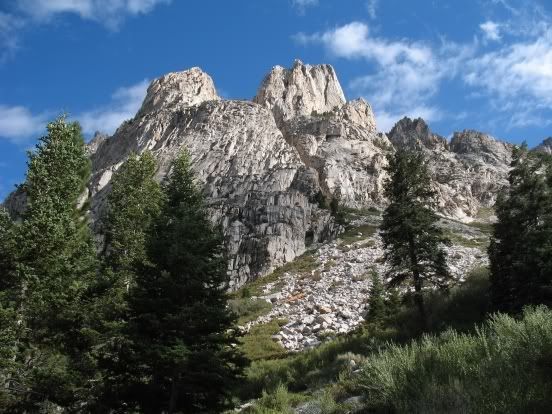
Here's a photo of the east side of Longley Pass:
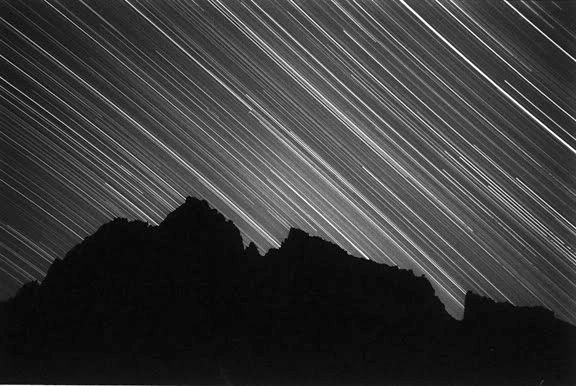
We found a nice high camp at the first small lake below Longley Pass and were treated to a fine sunset:
In addition to his DSLR, Van had packed in my old Olympus 35mm rangefinder, which allows the user to manually control the shutter speed. Throughout this trip, he would set up the old Oly on a tripod near his sleeping bag and take long timed exposures (3 to 5 hour exposures) of the night sky. Here is one he took at our camp below Longley Pass:
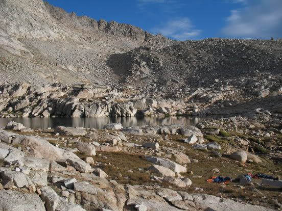
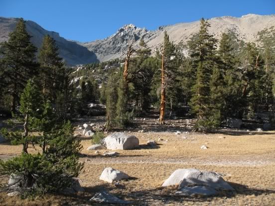
Our camp in the morning:
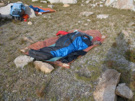
Andrew slumbers:
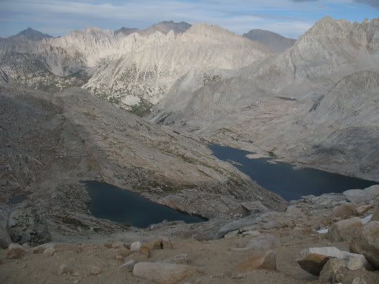
We left camp early, working our way down to spectacular Lake 11,459 (per my 15 minute map):
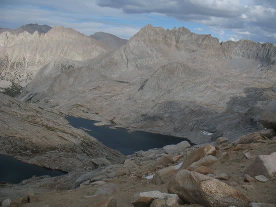
We followed the outlet stream of this lake down towards Lake Reflection, sometimes leaving the drainage when it became too steep.
As we approached Lake Reflection, clouds began to build up. By the time we reached the east shore of Lake Reflection, it began to sprinkle. That explains why neither Van or I took any photos there! We stopped for a short lunch break, then packed up again when it began to rain more insistently.
There is decent trail from Lake Reflection all the way down to Junction Meadow. We put our ponchos on and walked in the rain. The Bubb's Creek crossing was easy this late in the season. We couldn't find a very good campsite in Junction Meadow, but settled for a mediocre spot not too far from an overly developed (but unoccupied) horse camp. It felt too near to civilization to us! Van pitched his tent but Andrew and I elected to brave the elements, guessing (correctly) the clouds would dissipate.
Next morning, we made out way up Bubb's Creek.
We expected to see hoards of hikers on the trail here, but nobody was around. In no time, we were at the top of the Vidette switchbacks, where there is a great view of the Kings-Kern Divide.
We followed the trail to Bullfrog Lakes . . .
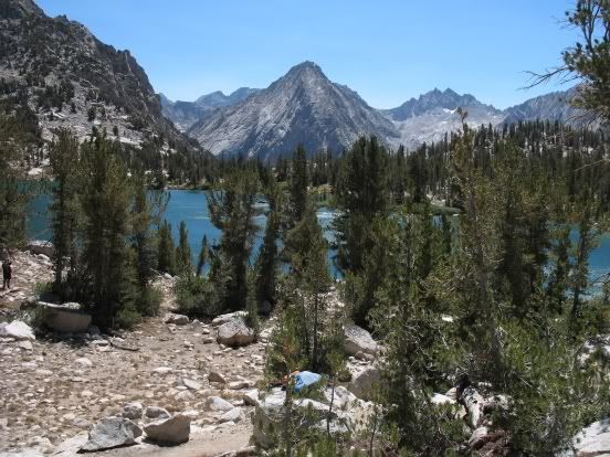
. . . then found a nice campsite at one of the lower Kearsarge Lakes.
That night was the coldest of the trip -- it got down to about 15 degrees and there was ice on the lake in the morning. Andrew complained of cold toes. I was snug in my down bag.
Morning light:
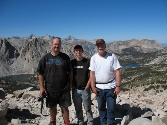
Here we are on the top of Kearsarge Pass:
We made it to the parking lot before 1:00. Andrew and Van waited at the trailhead while I hitched a ride back to the car at Horseshoe Meadows. Within minutes I had arranged for a ride to Lone Pine (a couple and their dogs out for a scenic drive). Rather than drop me off in Lone Pine, they decided (kindly) to take me all the way to Horseshoe Meadows, then treated me to a cold can of Coors when we finally got to my car. A special thank you to those good samaritans!
P.S. -- my back slowly improved, evolving from piercing pain to periodic muscle spasms (in the car, on the drive home) to no pain at all within a month. The doctor could find nothing wrong, thankfully.

