
We planned a 5 day 4 night trek into one of the most scenic regions of the Sierra – we had originally planned a loop route exiting out over a notorious col above one of the highest trailheads in the range. I came to scout the exit route in mid-July and surprise, tons of snow still! Hoping it would melt by late August, we maintained our itinerary, which would take us into a remote high basin, down a long deep canyon, up into another high off trail basin in search of large golden trout and out over a very steep talus route down into a very popular day hiking zone.
With an almost impossible weather window beginning right on our entry date (went from monsoon flow to hurricane to perfect sunshine forecasted for our entry!)
We arrived at the trailhead late Thursday night and set up camp in the backpackers campground by the creek, ready to be up and at it the next morning. We awoke Friday, packed up and started out to head over the crest via one of the easiest passes (horse poop pass) in the Sierra. As we gained elevation, our exit route came into view and…still TONS of snow. I took note, but still planned on our original route.
Making our way over the pass
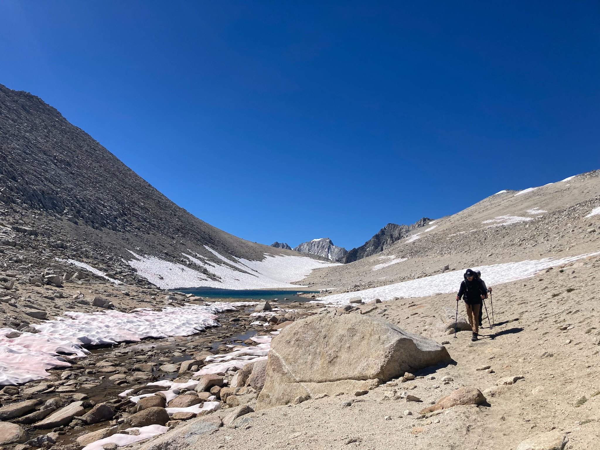
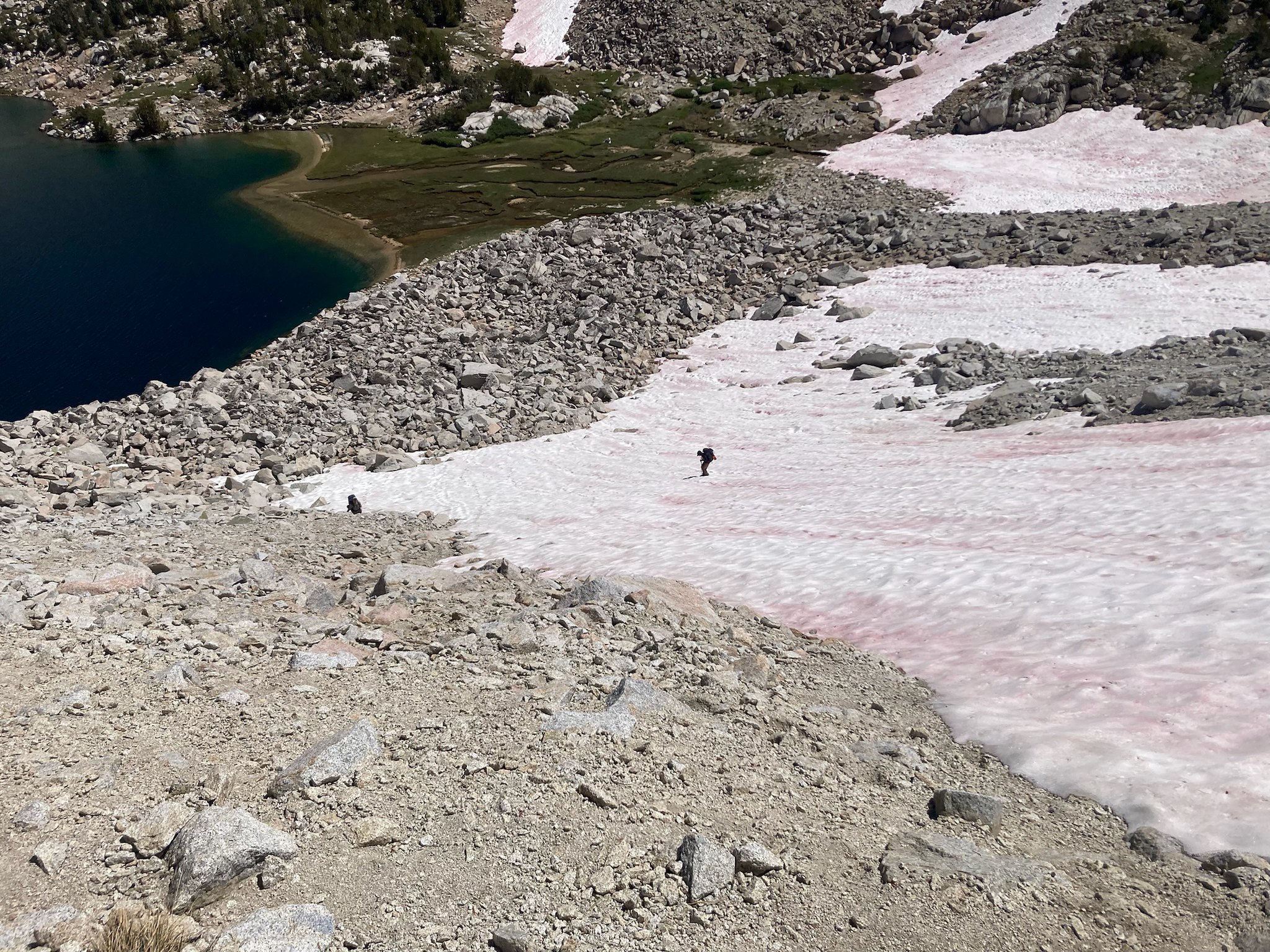
As we crested the pass, we followed the trail for a bit down past a lake and then continued straight off trail to a use trail I had taken in the past work our way to the outlet of a lake to break for lunch. As we descended, we immediately came into some steep loose talus, flanked by snow fields – blocking parts of the use trail. Having snow travel experience I kicked in steps across the first steep snow field and waved for my buddies to come across – one has snow travel experience, the other does not. Upon getting a few steps out, it was clear he was uncomfortable on this slope, so I said back track and go down to cross the bottom of the field. I walked further along and saw 3 additional snow fields blocking our route, with one having consequence of sliding into a very deep part of the lake. Immediately I hollered down and said we’ll have to boulder hop along the opposite shore.
Working Across one of many snow fields
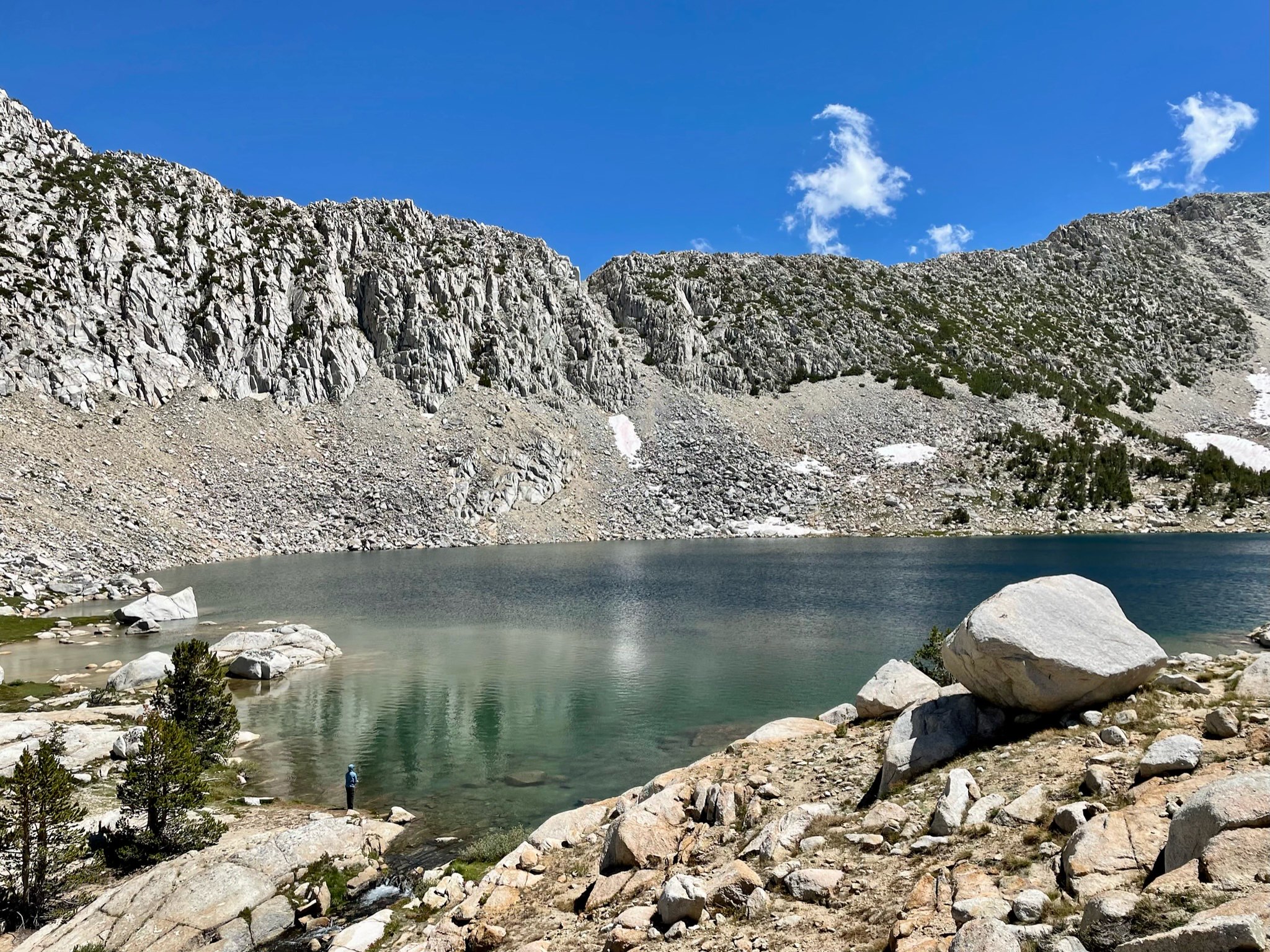
We got around the lake without incident and saw some really nice cruising goldens. Upon reaching the outlet, we immediately decided our original route was to be too dangerous to exit over the col and decided instead, we would head to our intended first basin as a base camp and explore from there. We worked our way down the outlet creek back into the trees (and horse poop) – finally turning off to another use trail that would take us up into our home for the next few nights.
Quick lunch and a few minutes fishing
Heading down the use trail
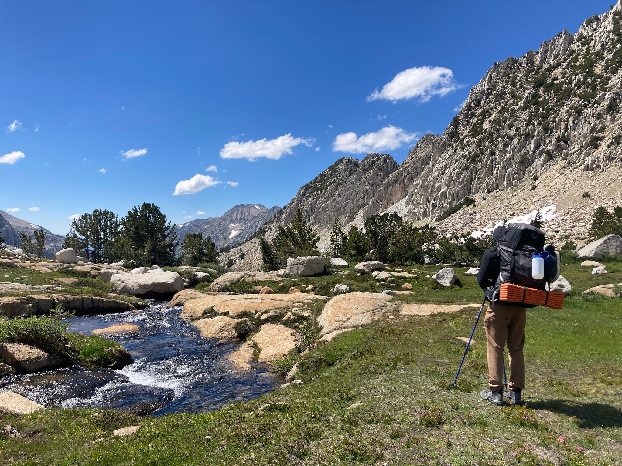
As we entered the lower basin, we were blown away by the beauty of it – lush meadows, creeks, wildflowers like I had never seen before. As we worked higher and higher, the beauty only increased. We targeted the largest lake in the upper basin as our camp site, with a view back towards the divide we had crossed earlier in the day. After setting up camp, we made a firm decision that we would stay here the next two nights and explore, the snow col was out. While disappointed we knew it was the right call and I am grateful to be in a group that can make that right call even if it means backing off an objective.

Looking back
We spent the next day hiking to the upper reaches of the basin, deciding to get up to a saddle at the head to get a view of the next valley over. As we made our way up the saddle, the rocky peak lookers left captivated our attention and we quickly made a decision that we would try to get to the top of it.

Approaching the saddle

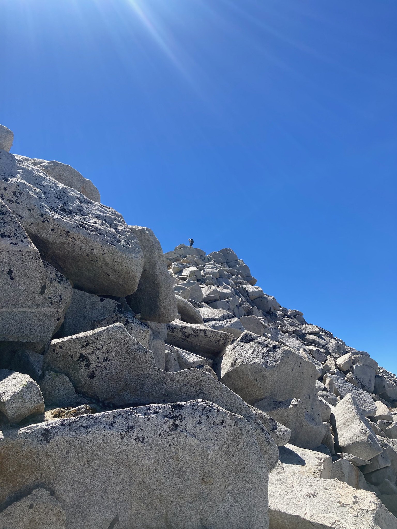
Working up the Shoulder
Once we crested the saddle the views north were impressive to say the least. We had some snacks then started making our way up the shoulder of our new target peak for the day. The slope steepened quickly and went from a leisurely class 1 walk to some beautiful class 3 scrambling. As we worked higher on the blocks, we got to a problem we were not comfortable with passing, so called it one block away from the summit and loving every minute of it.
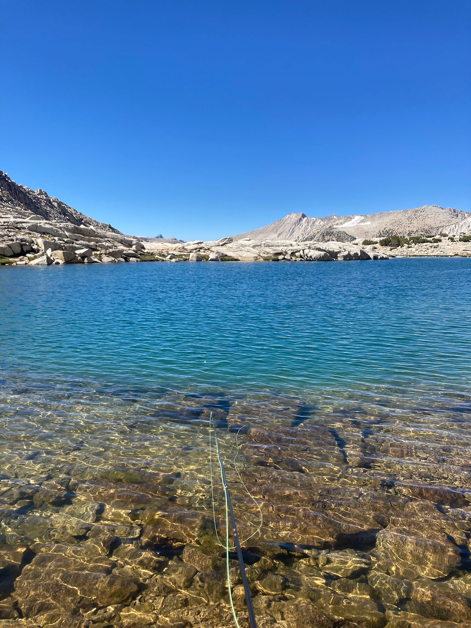
We rested upon our newly found perch and had some more snacks, soaking in the 360 views around us. We could hear a party of people hooting and hollering somewhere deep in the red basin thousands of feet below us. Absolutely incredible. After hanging around and climbing a bit more, we started our decent back to the upper most lake in the basin - as the only fisherman in the party, I wanted to target some Sierra gold on our way back to camp.

Spectacular
I managed a few pan sized goldies out of the lake and we spent the afternoon soaking our feet, fishing and overall thoroughly enjoying ourselves. As the shadows started to get longer, we decided it best to head back down to camp where we continued to fish at the large lake, catching brookies to our hearts content. We had only seen two other people the entire time in the whole basin – magical.
Golden Hour
After a slow start and calm morning, we decided we would hike part of the way back towards the trailhead and camp at a lake I had previously been to, to setup an easy out the following day. Walking back down through the meadows in the late morning light was stunning. As we rejoined the trail, we came across a few other hikers heading into where we had just come from. We arrived at this very popular lake in the early afternoon and promptly setup camp. I hadn’t itched the fishing bug yet, so I suggested we hike up to a higher lake I knew to contain goldens, above this lake.
We reached the stunning lake and I immediately noticed many dead fish in the shallows – uh oh. Had this small, lake frozen solid and had a total die off? I worked my way around the lake and saw a couple of small cruisers, phew! I managed a couple smaller, fully colored up goldens on a hopper pattern. There is nothing greater in fishing than catching golden trout on a dry fly.
Hard to beat
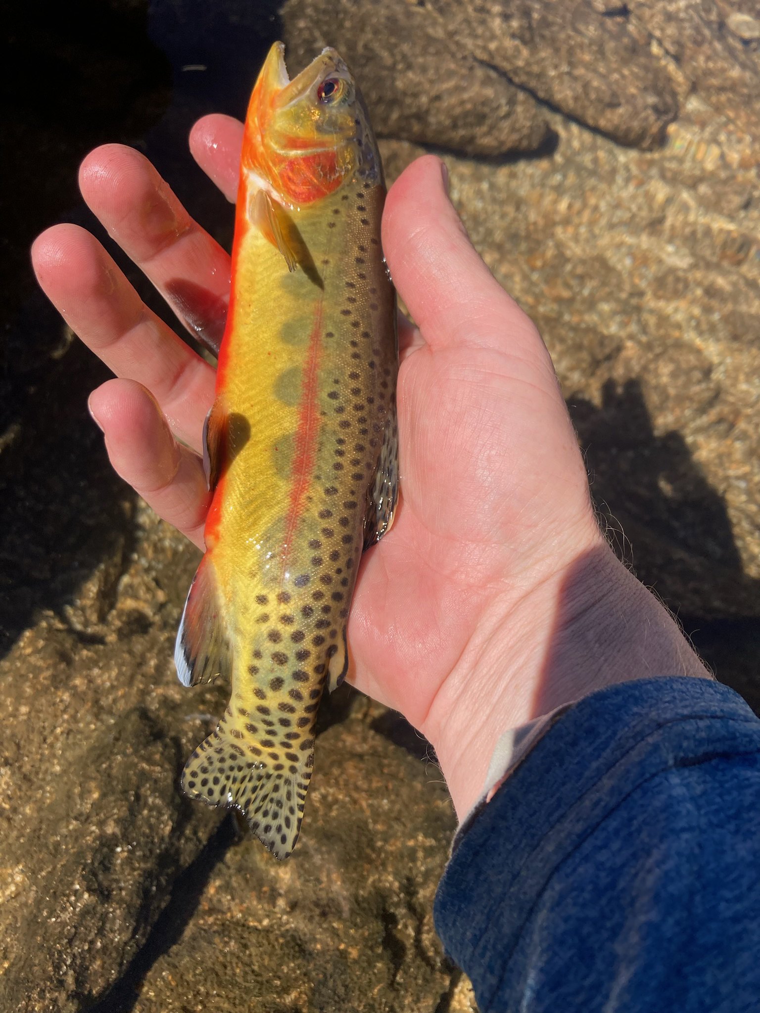
Colored up golden
After fishing and enjoying a wonderful afternoon, we set our sights on the rocky ridge that rose above us – we decided to climb up it and soak in some more views. After an easy scramble to the top, we were rewarded with views of our previous basin, as well as a large alpine lake and hanging valley above it, thousands of feet below us. Incredible. We found a perch, kicked our feet up and soaked it all in.

Long ways down
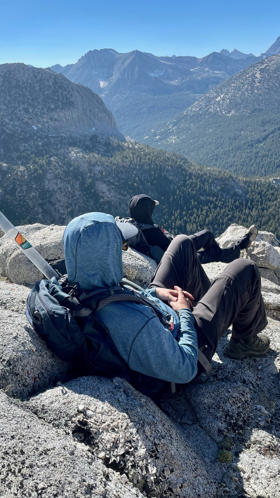
Best Seats in the House
We spent a few hours in this spot before heading back to camp, where we once again fished for brookies to our hearts’ content.

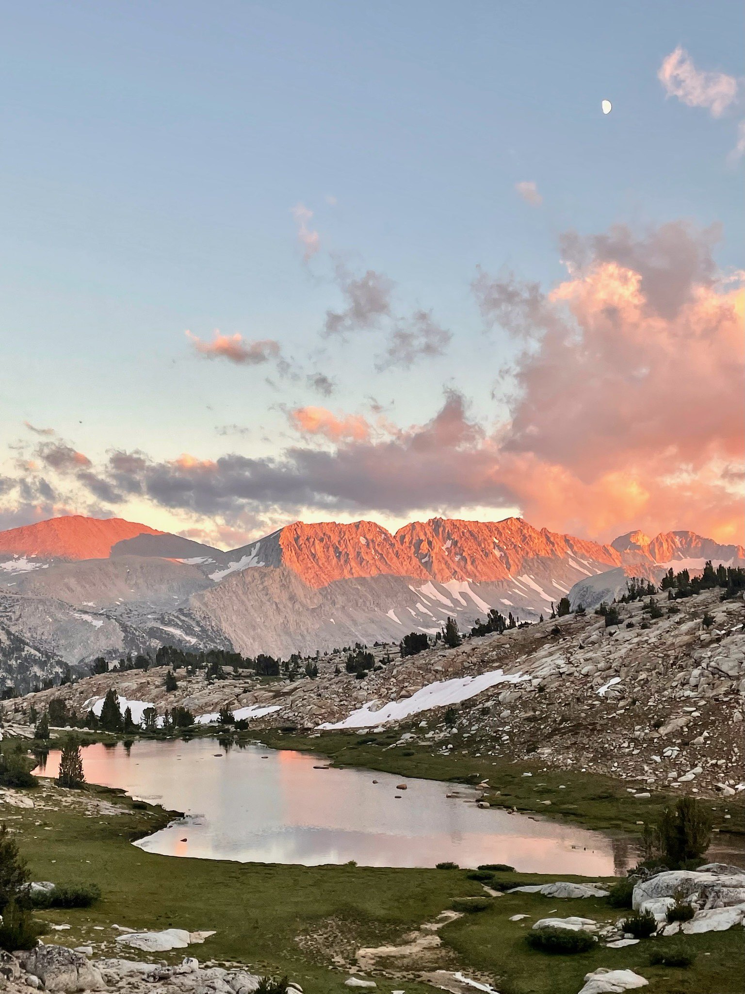
Soft alpenglow

Sunset over the range
We awoke the next morning, slowly packed up camp and headed back up over the pass we had crossed days earlier, arriving back at the car around lunch time. While it wasn’t the lunker golden trout journey I had originally envisioned, as they say, the best laid plans of mice and men…. I am extremely grateful to have been able to spend time unplugged exploring with two of my best friends, exploring one of the most beautiful zones in the Sierra. Already looking forward to the next one.

