
For perspective, I’m in my mid-50’s, east coaster, average condition, base weight (no food/water) of about 20lbs, Level 2.5 level hiker (experienced backpacker, though only a handful of cross country trips/segments under my belt)
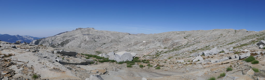
This was my 7th year in a row of backpacking in the Sierras. For the trip, I wanted to work on some off-trail skills (experience, route finding & just general confidence), and of course enjoy a new area of the park. So the plan was for a loop from Lodgepole through Roaring River, into Deadman Canyon, then up to Tablelands, finishing back at Lodgepole. I had a couple of routes from Deadman Canyon into Tablelands, and an alternate full trail plan if I did not feel comfortable with the cross country sections. Total trip for me ended up being ~48 miles with ~12k of ascent and 12k of descent.
 2019 DM Canyon/Tablelands Loop by 1000 Things, on Flickr
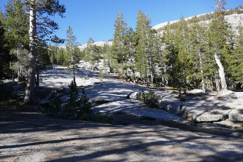
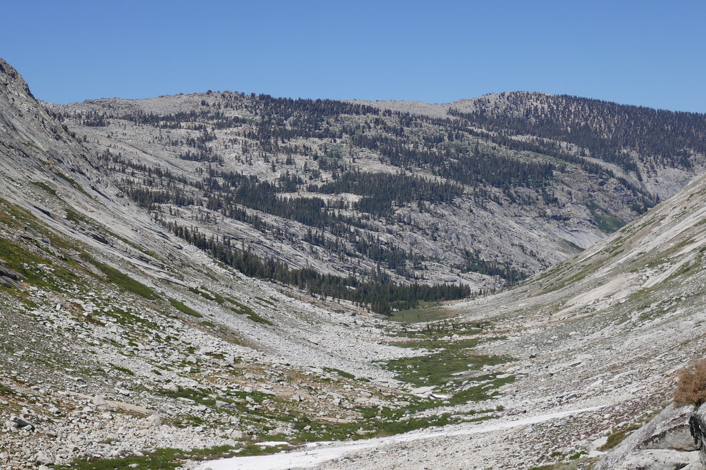
Day 1: Lodgepole to Ranger Lake, 9.5 miles and +3,900/-1,500. Day 1 started at Lodgepole. I got on the trail around 10. Leaving the large parking lot and crossing the bridge towards the campsites, it is essentially climbing for the next 8 miles. However, the trail is moderately graded (mostly), shaded, and has good access to water. Basically a pleasant forrest trek. Not a ton of views, some near Cahoon Meadow and again at Twin Lakes. The view from Silliman Pass was nice, though I had to move around a bit to get to some good spots. I took a break there enjoying the view and trying to figure out which peak this was (Arrow Peak or Pyramid Peak?)
 P1000763 by 1000 Things, on Flickr
 P1000769 by 1000 Things, on Flickr
Leaving the pass, it was good to see Ranger Lake down below, my destination for the night. Decent camp sites are on the north side of the lake, and the first bear box is about half way along the lake. An Australian couple who passed me on their way down told me there is another nice campsite towards the second box (near the end of the lake) but I did not check it out. I reached the lake around 5PM and ended up sharing the campsite with a pair of brothers from California who were 10 years older, carrying about 10 lbs less weight and hiking 50% farther every day. They might be on to something… :-) They shared their thinking about gear over a small fire, and I appreciated their perspectives. Then we all called it a night.
 P1000777 by 1000 Things, on Flickr
Day 2: Ranger Lake to Roaring River, 12 miles, +1,300/-3,000. I got on the trail around 9, and headed out towards Roaring River. I had not heard great things about this stretch of trail (or at least the section near Sugarloaf) but the day was beautiful and I had the trail to myself. Not much more one could ask for!
 P1000781 by 1000 Things, on Flickr
The trail generally heads downhill until Ferguson Creek, with plenty of water along the way. I passed campsites at Comanche Meadow and Sugarloaf Creek (one before at the “Bear Box” sign and the other right after fording the creek).
 P1000796 by 1000 Things, on Flickr
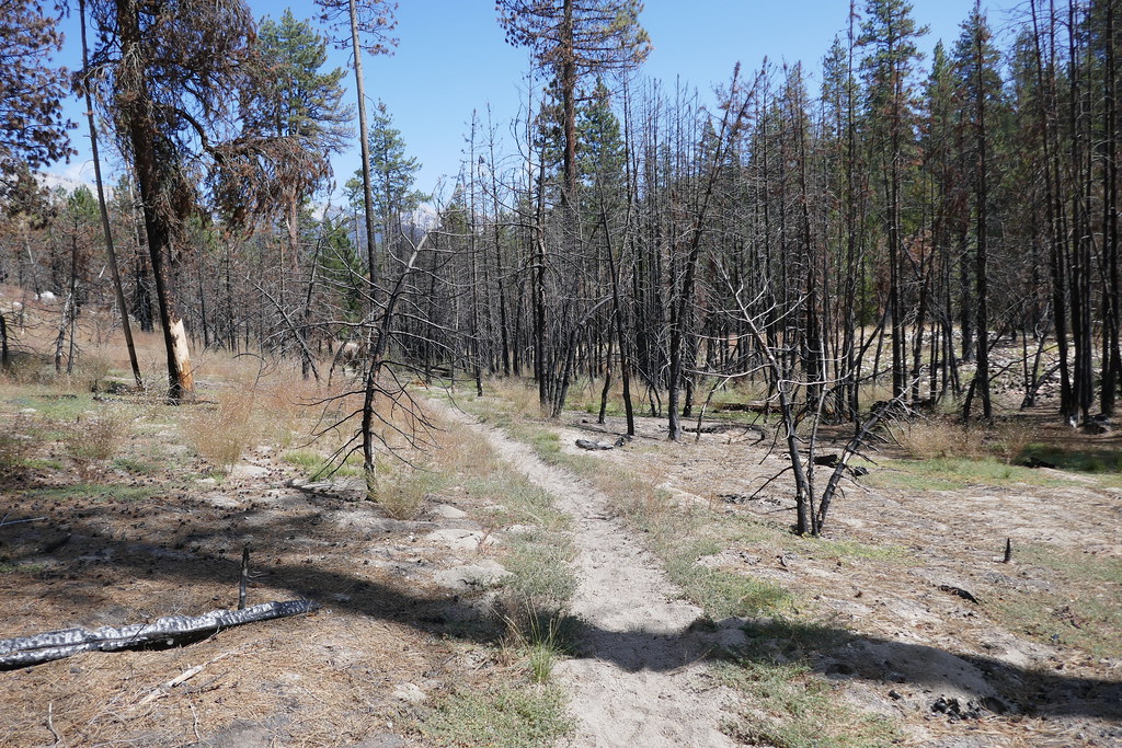 P1000797 by 1000 Things, on Flickr
The whole day, while not bad as I had read about, was long, and the sand & duff trail under a hot fall sun definitely makes you work hard. So I was kind of bushed and unprepared for the few hundred feet of climbing after fording Ferguson Creek! Right after I opened up the stock gate near the roaring river station, a mule team passed me with a load of cedar shingles. The leader explained these were for repairing the Barton-Lackey cabin (which I forgot to go see in my haste to get myself in gear and on the trail the next morning). Finally dragged myself into Roaring River around just before 5. I chatted briefly with the Ranger then set up camp. There are essentially two camping areas south of the river, one to the west of the ranger cabin, and one to the east. Each has a pit toilet and bear box. I chose the one west and ended up sharing the site with an Australian dude named David, who was on day 3 of a modified Big SEKI loop. He had been to Burning Man that year so he shared a few stories over a small campfire, which was cool. Turns out, he would be the last person I would talk to for 2.5 days! The campsite was nice, and the sound of the river put me right to sleep, the best night’s sleep I would have on the trip.
Day 3: Roaring River to Upper Ranger meadow, 6 miles, +1,700. I slept in really late and did not end up getting on the trail until almost 10 am! Another beautiful morning as I started the steady climb up towards Deadman Canyon.
 P1000804 by 1000 Things, on Flickr
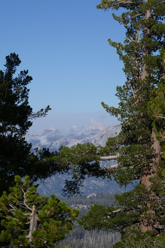
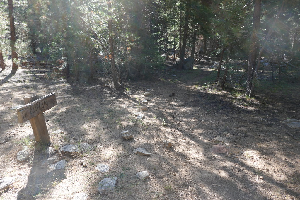
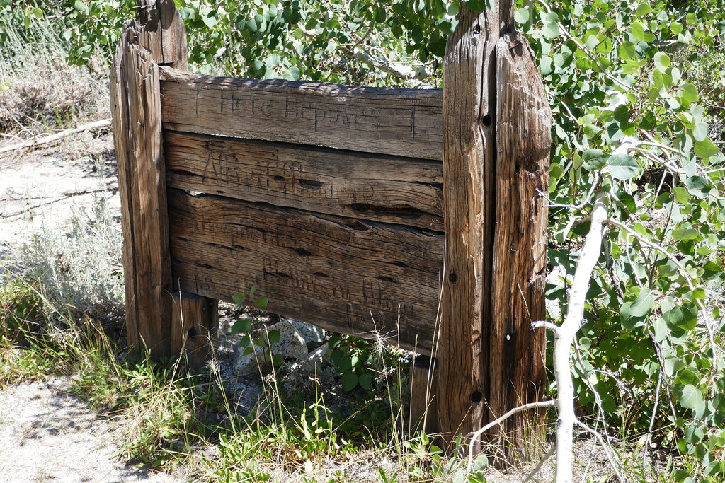
With the late snow this year, parts of the trail were somewhat overgrown, especially near the first Copper Creek crossing. Plenty of water along the way. The trail opens up more and more as you get into the canyon and the views keep getting better. I made it to a campsite just before the grave around 12:30 and stopped for some food. Age & weather are taking their toll on the marker, but it is still readable
 P1000813 by 1000 Things, on Flickr
Rested and re-fueled, I headed back out but first stopped to say a little prayer for Alfred Moniere (which if that is not a lyric to a song it should be) then moved on. The trail, while beautiful really starts to open up and is hot and exposed past the gravesite. Over the last decade, as I have expanded from mostly weekend hikes to week-long hikes, I usually find myself having a slow or tough day somewhere around day 2 or 3 of my hike. Probably a cumulative mixture of my fitness level, exertion, temperature, pack weight, etc. Anyway, for this trip, today was that day. Over the last few years, I’ve done a lot of things to improve my fitness, lower my base weight, and become more deliberate about food & water intake, so rather than “endure” as I have in the past, now I just slow down, take my time & move forward.
 P1000819 by 1000 Things, on Flickr
 P1000824 by 1000 Things, on Flickr
 P1000829 by 1000 Things, on Flickr
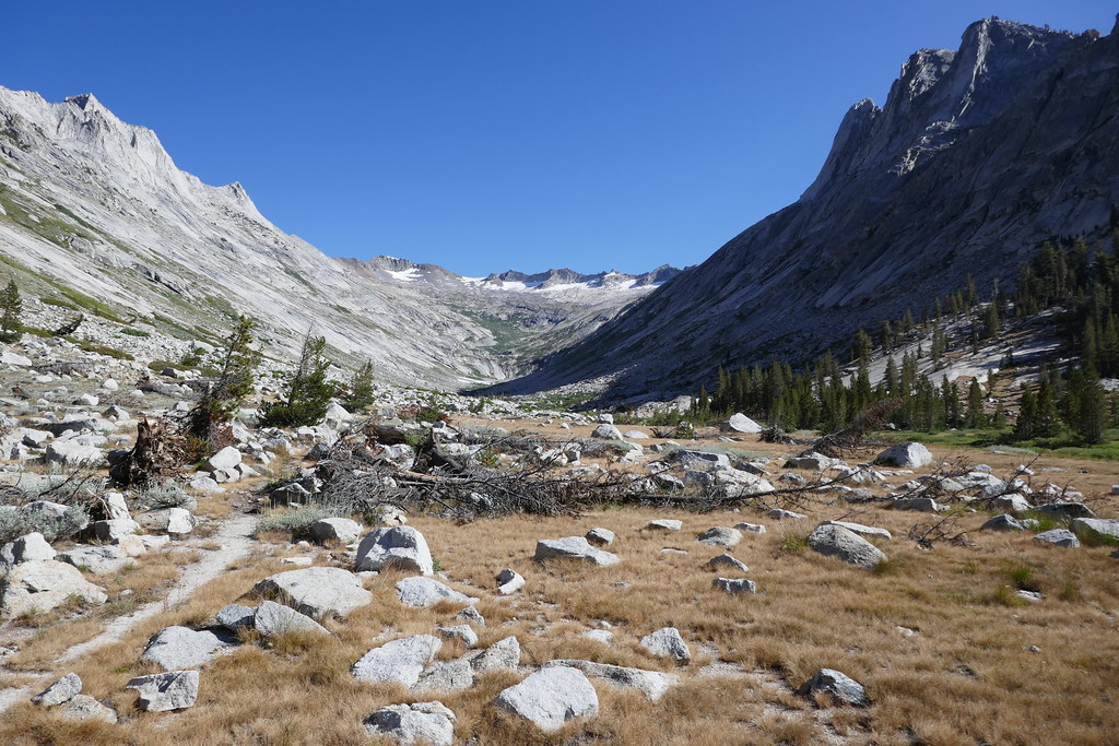 P1000834 by 1000 Things, on Flickr
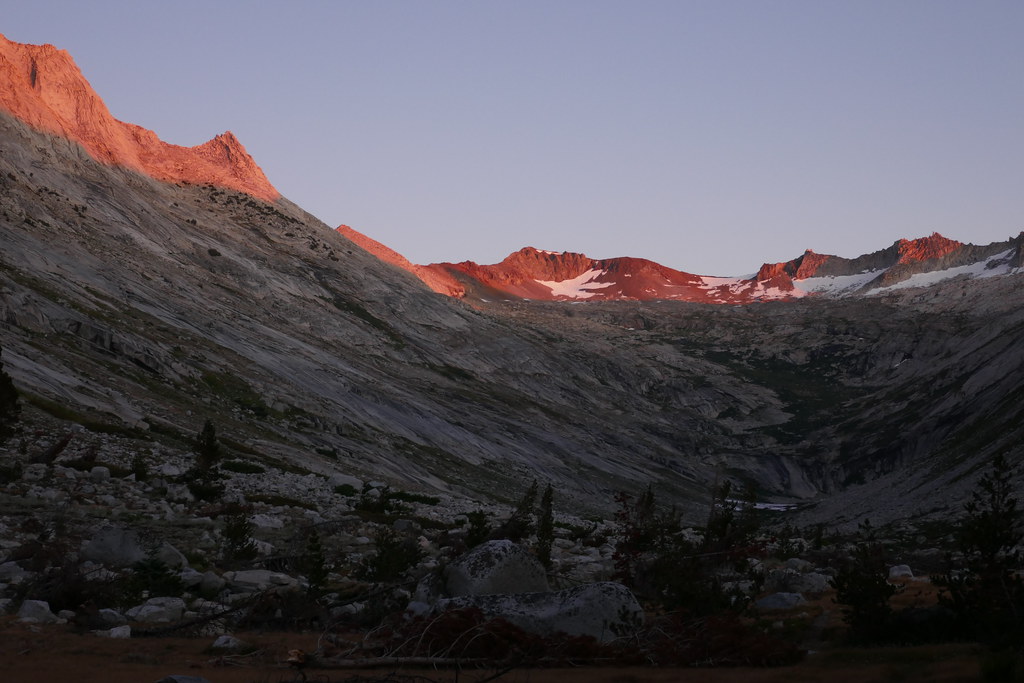
Of course, maybe I was hiking slow because I constantly stopped to stare in awe at Big Bird Peak and up the canyon! I could not stop myself from a) staring and b) taking photos. It was that beautiful. I think there are a couple of campsites along the way to Upper Ranger Meadow, but I missed them all. My original plan was to camp at Big Bird lake, but a little before 4PM I spied a campsite at Upper Ranger Meadow (about 9,200 feet - the brothers had told me about it, and I had also read reports on HST that suggested it might be good place to head on up to the lake). I was pretty tired, and was not sure how long it would take me to get up to the lake, so I decided to stop here for the day. Beautiful campsite, views up to the end of Deadman Canyon. A little buggy, as some of the nearby ground was almost swampy. Not head net bad, just a nuisance. Probably not a problem late season in a drier year. Plenty of spots for tents. I used an existing I-think-legal fire ring and a handful of kindling for a small 30-minute fire, sipped some whiskey, enjoyed the alpenglow and hit the sack.
 P1000845 by 1000 Things, on Flickr
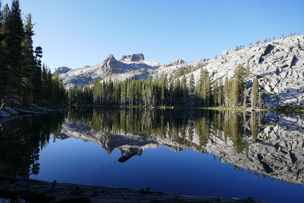
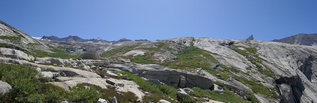
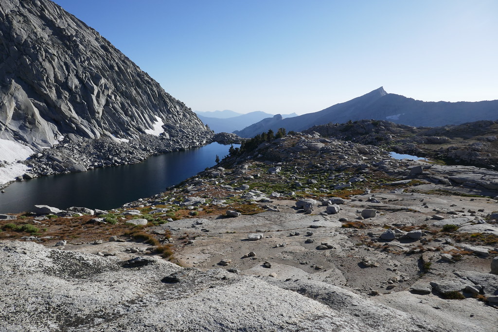
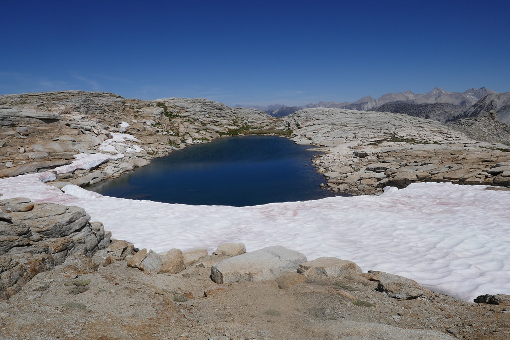
Day 4: Upper Ranger Meadow to Big Bird Lake, then up Dead Man Canyon to Horn Col and Lonely Lake ~6.4 miles, +3,200/-1,500. My plan for today was to climb up to Big Bird Lake, and hopefully climb up into Tablelands from the lake. The Ranger at Roaring River suggested the slabs were the easiest way to get up to Big Bird (vs. the old stock trail). That’s also what I read on this board. I completely agree (though I did not try the stock trail, the slabs were very doable). I headed out a little after 8am, finding an easy crossing of Copper Creek right near my camp site. From there I headed almost directly over to the outlet creek and crossed, then started to climb up to the lake. I ended up having to climb through a short but steep grass filled gulley (no exposure), but other than that was on slabs. Some steep quad and calf burning sections but overall not too bad. I reached the lake about 9:30 and oh my was it beautiful.
 P1000850 by 1000 Things, on Flickr
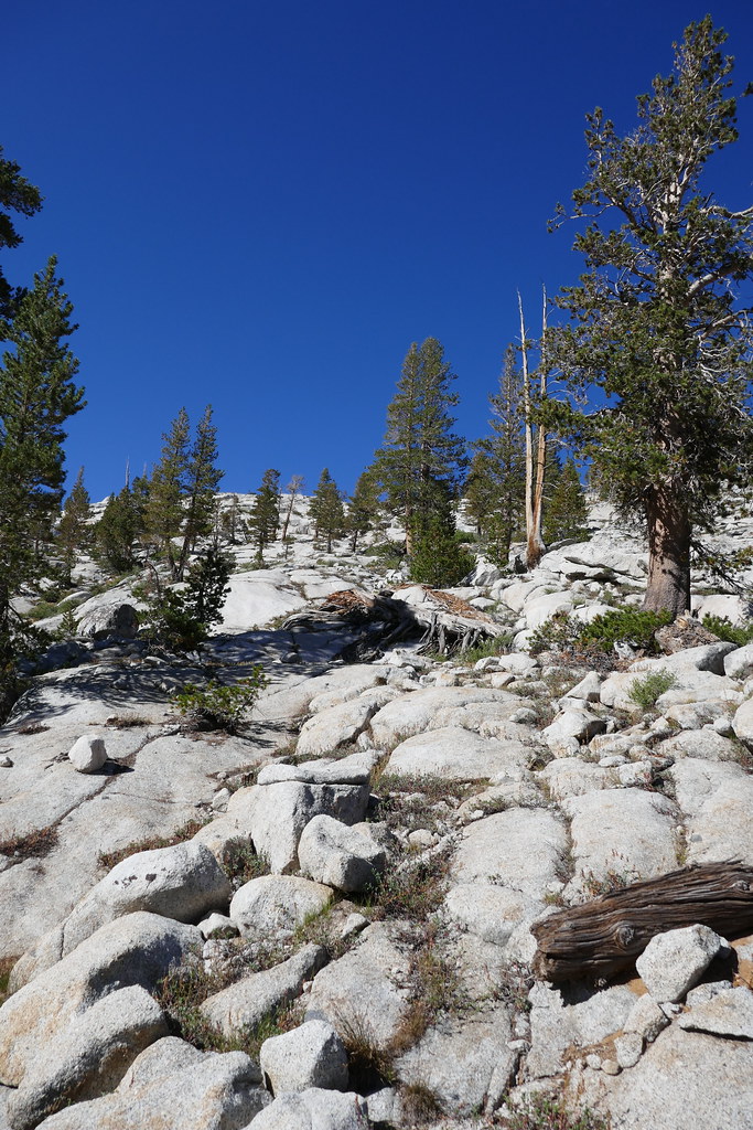 P1000862 by 1000 Things, on Flickr
 P1000866 by 1000 Things, on Flickr
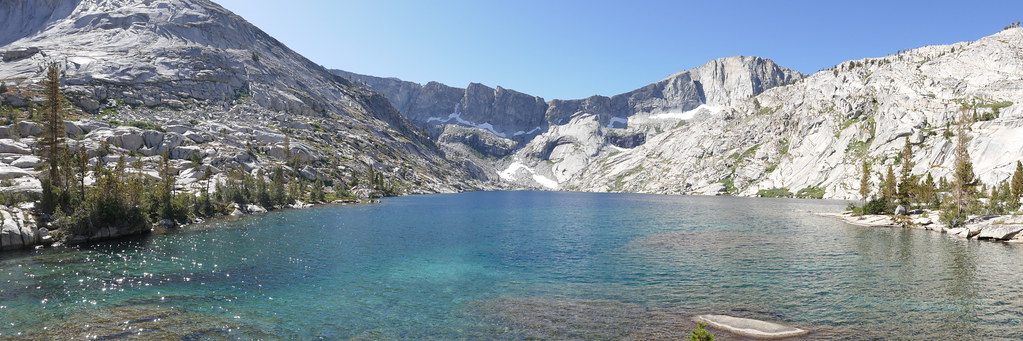 P1000867 by 1000 Things, on Flickr
The hues of blue and green, the whole bowl, pristine & striking. I dropped my pack and just soaked it all in for about an hour. Eventually, I stirred to check out the route to Lake 11,200. I could see the ramp, and the route that I had studied from the photos and reports of others. But, the first section and the ramp looked a little beyond what I felt was in my wheelhouse, especially solo. So I decided to go for my plan B or C (Horn Col or over Elizabeth Pass). I contacted my wife through my Delorme InReach, let her know the change in plans then sat and enjoyed what Arnot refers to as “sun spangles” on Big Bird Lake for a little while longer before heading back to my campsite at Upper Ranger Meadow.
I followed some notes from Old Ranger, starting about 50 yards from the outlet creek and must have hit the perfect route down, I was back at Upper Ranger Meadow in maybe 30 minutes. I ended up crossing the outlet creek some 300 yards higher than my crossing on the way up, and it was much easier, slabs all the way down. Topping off water and grabbing a snack, I started up towards the canyon headwall. At first glance, I was regretting my decision - it looked impossibly far and high.
 P1000872 by 1000 Things, on Flickr
But then I got on the trail and the first mile was absolutely wonderful. Despite being late in the season, there were still plenty of wildflowers, and the gently rising trail smelled fragrant, mostly sweet and occasionally herbaceous (which, by the way, is an AWESOME word).
 P1000882 by 1000 Things, on Flickr
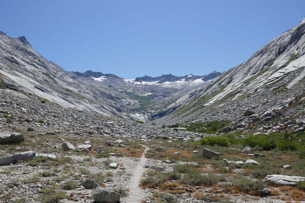
Almost no snow on this stretch of the trail, and what was there was mostly easy to avoid. The climb up to the top of the “falls” felt like bushwhacking through a jungle. While the trail was always easy to follow, it was still quite overgrown. I would not want to be the first person up or down that to start a season. As I stopped for lunch at the Falls, it was hard not to imagine a glacier making its inexorable way down the canyon.
 P1000891 by 1000 Things, on Flickr
From the top of the Falls, my plan was to head over to Horn Col, or if that did not look right to head over Elizabeth Pass. V.S. Naipul wrote something to the effect of there is a difference between Sunlight and Sun, with the former being gentle and pleasant, while the latter implies a brutal heat. Sunlight warms you up in the cold Sierra mornings. But this afternoon, I hiked under a strong autumn full on SUN. There’s just no tree cover or shade once you leave Upper Ranger Meadow - so it was hot!
 P1000893 by 1000 Things, on Flickr
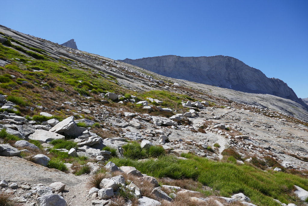 P1000894 by 1000 Things, on Flickr
The the small “fin” I had seen during the climb eventually turned into Horn Col, and taking a look at the route, I decided I would try to head over the Col down to Lonely Lake
 P1000898 by 1000 Things, on Flickr
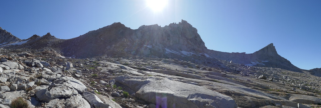 P1000899 by 1000 Things, on Flickr
Steadily trudging my way up the rip rap path, I finally made it up to the dirt trail that switchbacks its way up to Elizabeth Pass, only to realize I had climbed about a hundred feet too high, and I had to backtrack slightly before heading over to the Col (gets a little rocky higher up). I think the right altitude to her over the Col is around 11,000-11,100 feet. Pretty straight forward walk, and the ‘benches’ on the east side were easy to step/climb up.
 P1000900 by 1000 Things, on Flickr
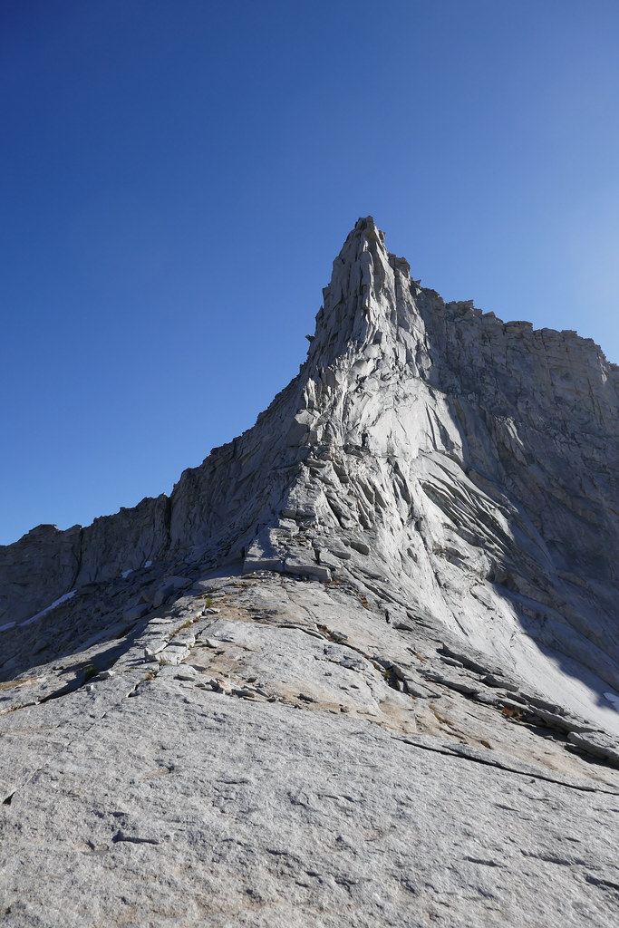 P1000907 by 1000 Things, on Flickr
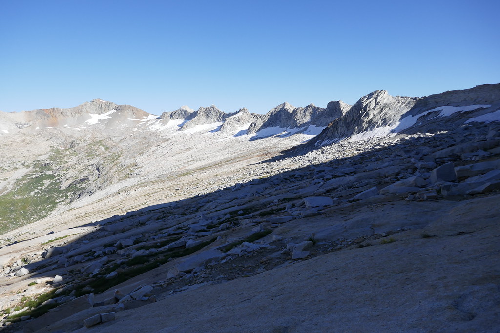 P1000903 by 1000 Things, on Flickr
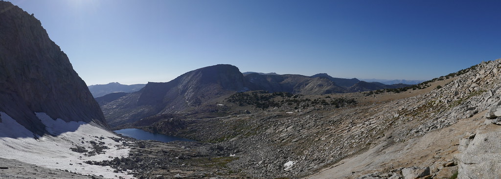 P1000909 by 1000 Things, on Flickr
The views from the Col were magnificent, both looking back at the Canyon headwall, as well as down to Lonely Lake and Pterodactyl Pass.
After a nice break I contoured over then down to the lake, where I found a good spot on granite & sand on the NW end of the lake just large enough to hold my tent. The lake itself was very beautiful, nestled in below Horn Peak. A memorable campsite. The ground down to the lake was pretty steep near my campsite, so I ended up getting water from a nearby tarn (which was exceptionally clear). Maybe some better sites near the “beach” at the north end or a little further south. A full or near full moon rose, and when I went out to answer the call of nature later that night, it was so bright you could have easily navigated without a headlamp.
 P1000913 by 1000 Things, on Flickr
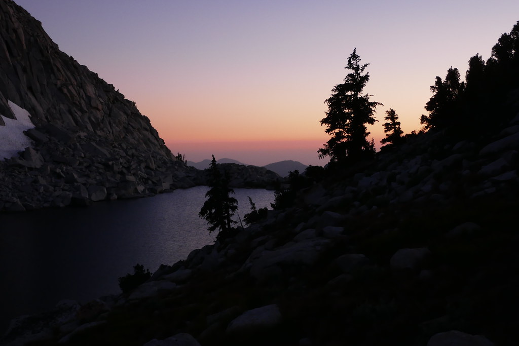 P1000916 by 1000 Things, on Flickr
Day 5: Lonely Lake to Lake 11,200, then down to Pear Lake. ~7.4 miles, +2,000 / -3,300. I hit the trail a little after 8AM, and headed off towards Pterodactyl Pass. My plan was to check out the pass, then head up and over into Tablelands and Lake 11,200, and kind of play if by ear from there. I had read a TR from Maia the Bee and generally took that route, heading down from Lonely Lake to the base of the pass, following a gentle grassy “ramp” up for about a hundred yards, then through some boulders and from there worked my way up the slabs. Pretty straight forward.
 P1000930 by 1000 Things, on Flickr
 P1000936 by 1000 Things, on Flickr
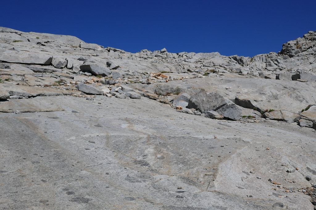 P1000943 by 1000 Things, on Flickr
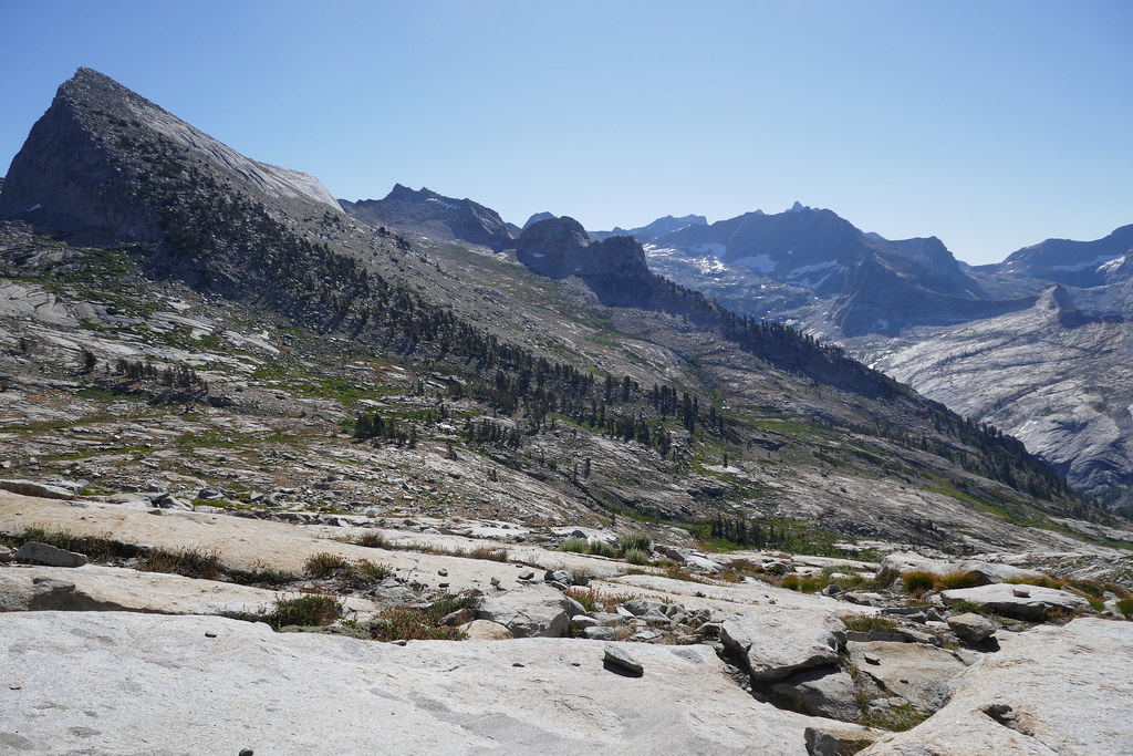 P1000941 by 1000 Things, on Flickr
I used a big square boulder on the ridge as my target. The views back to the Divide kept my head on a pivot. The backside of Elizabeth Pass looked steep and massive, I was glad not to be climbing up it!
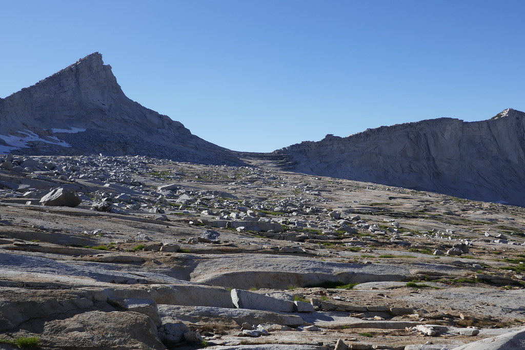
I made it to the top of the pass a little after 10AM and found it surprisingly buggy. Still the views over to Moose were fantastic. I would definitely like to camp or hike there at some point. The terrain between the pass and the rim holding Lake 11,200 was slow, lots of boulders, gullies & drops (oh my!) but I generally was able to hold the contour as I headed over towards Lake 11,200. I had not studied my 1/:25000 print of Tablelands that closely, I had expected the lake to be right above a green patch across the headlands. But when I got there, no lake! I pulled out the map, and realized it was another half mile or so to the north. Good lesson/reminder for me on navigation, and I was glad I had good maps (thank you Cal Topo!). The TRs for Tablelands are right - not a lot of landmarks, and it would be easy to end up in some slower & tougher (but navigable) terrain if you are not careful.
 P1000950 by 1000 Things, on Flickr
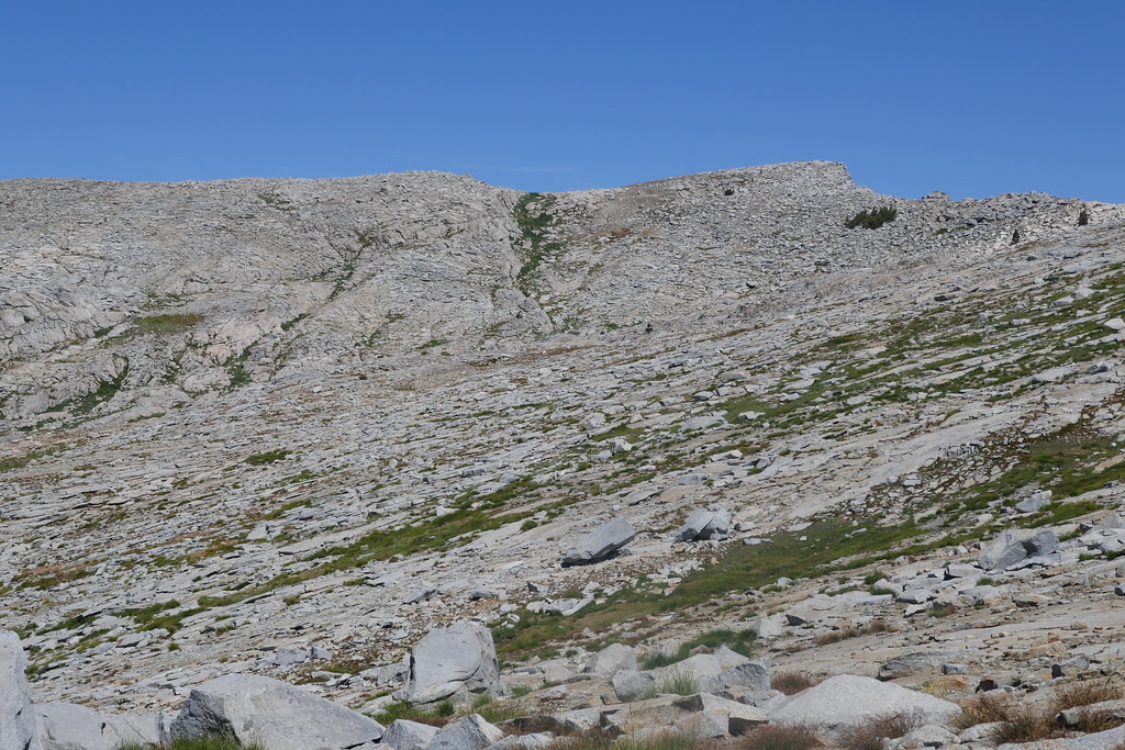 P1000951 by 1000 Things, on Flickr
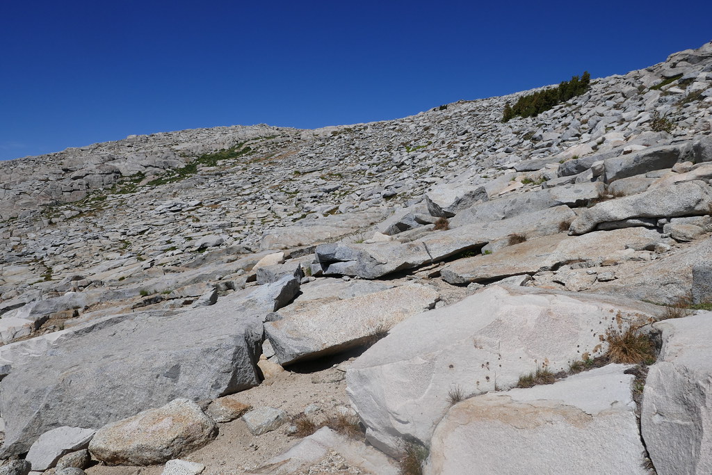 P1000952 by 1000 Things, on Flickr
Finally made it to Lake 11,200 and stopped for lunch. What a view! Made me think about staying there for the night, but it was still so early so I reluctantly headed on down into Tablelands and towards Pear Lake.
 P1000955 by 1000 Things, on Flickr
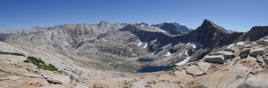 P1000957 by 1000 Things, on Flickr
I headed on a north westerly direction towards Topaz Lake. Shortly after leaving, I heard a voice calling “hello” and thought I was hallucinating (in an auditory kind of way I guess) until I finally saw a figure coming down from the ridge. Turns out he was a ranger on patrol from Pear Lake and was headed to Lake 11,200. Super nice guy, we chatted for a bit and I realized he was the first person I had seen or spoken to in 2.5 days! Which was pretty awesome. Sort of like an active but silent meditation since Roaring River. Sitting back here in my City (which I do love), I think about that stretch of the trail often and fondly. Times like that stay with you in the best of ways.
I made my way over to Topaz Lake. The Ranger had suggested I stay as high as I could, then drop down into Tablelands proper on either side of the hill next to the lake. I ended up heading down the east side of the small rise below the lake and it was pretty straight forward, only cliffed out once. From there, I followed the slabs along side the creek until about 9,650 feet when I crossed over the creek and headed to Pear Lake. The advice from this board is right, you probably need to set your GPS device if you have one as there are no clear landmarks to signal when to cross. Other than maybe the creek itself which starts to turn from running over slabs to run through a mini “canyon” of sorts right around this point.
 P1000965 by 1000 Things, on Flickr
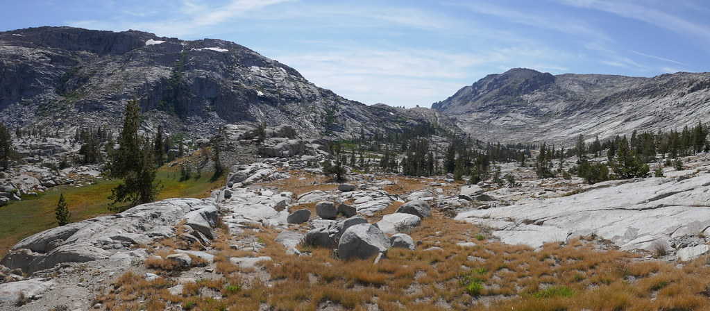 P1000971 by 1000 Things, on Flickr
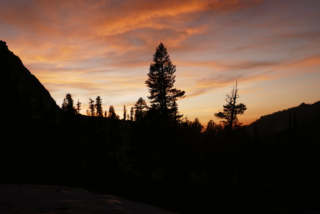
Climbed over the ridge then made my way down towards the lake, where I snagged a spot for the night. The lake was full, but people were generally quiet. With the exception of letting the door to the privy slam shut. Jarringly annoying. In hindsight, I should have camped the slabs somewhere before crossing, or even back at Topaz Lake and then made my way down the to Ranger Station the next morning and picked up the trail. Nothing against the other folks there, just would have offered a little more solitude for a little bit longer. Still, it was a pretty sunset.
 P1000979 by 1000 Things, on Flickr
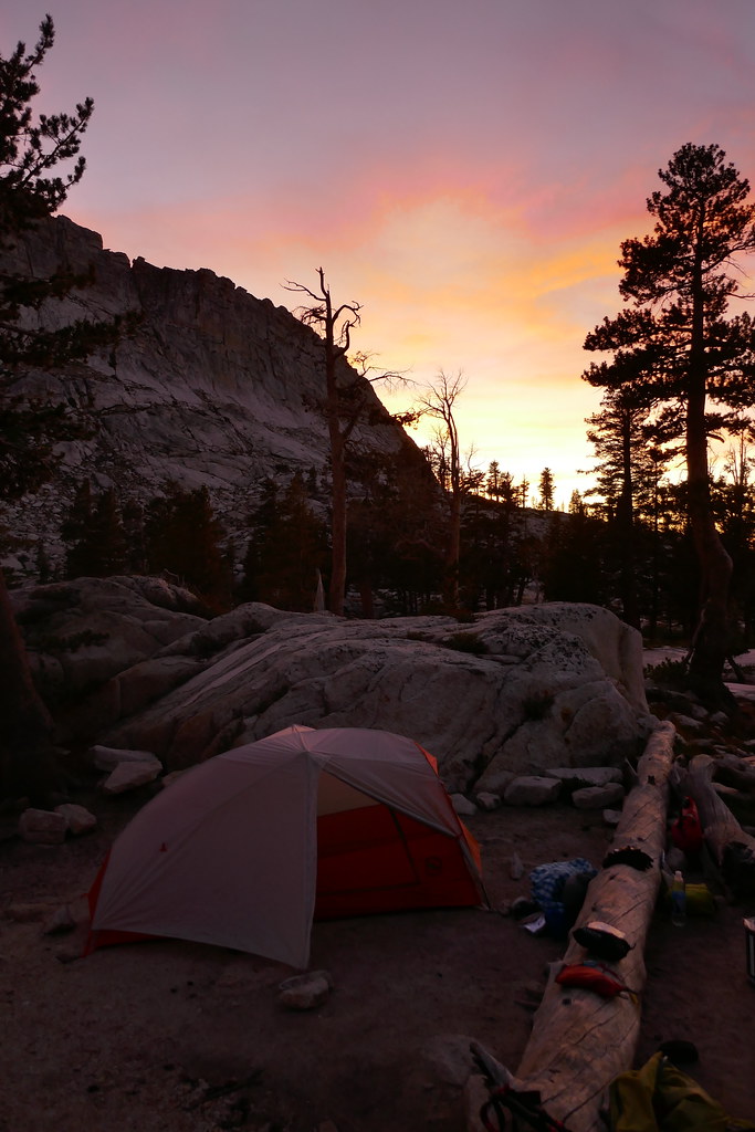 P1000981 by 1000 Things, on Flickr
Day 6: Pear Lake to Lodgepole: 7.1 miles, +700/ -3500. Not much to this, just took the watchtower trail back to Wolverton, then followed a nice level trail over to Lodgepole and my car. I stopped counting people when I got to 40, and the number I saw was easily more than double that. It was a Saturday, so should not have been surprised.
Can’t say enough good things about the week, I would do that exact same trip again in a heartbeat - it was that good. Except there is still so much to see! Though the pandemic kept me to the East Coast last year, I am SO looking forward to getting back out to the Sierras again this year
Link to my full set of photos here:
https://flic.kr/s/aHsmJD2g29


