
Just got back from a lollypop out of the Isberg Pass Trailhead up to Hemlock Crossing, Bench Canyon, Lyell Fork, and Isberg Pass.
Prior to the trip I was not able to find much information about Bench Canyon or Lyell Fork (other than everyone saying they were spectacular and must be visited!), so I posted an especially detailed trip report on those sections here:
https://jimmyjamhikingclub.com/2019/08/ ... -crossing/
https://jimmyjamhikingclub.com/2019/08/26/bench-canyon/
https://jimmyjamhikingclub.com/2019/08/27/lyell-fork/
https://jimmyjamhikingclub.com/2019/08/28/isberg-pass/
https://jimmyjamhikingclub.com/2019/08/ ... ittle-bit/
We had surprisingly constant mosquitoes at about a 2-3 for the whole trip. I guess that's what happens in a wet year, even in late August.
Route finding was not difficult on the trip, and we were almost always able to avoid class 3 terrain. Highlights included:
* After crossing North Fork San Joaquin we stayed left of the creek out of Bench Canyon and had to cross some steep loose talus for about 200 feet or so, bordering on class 3
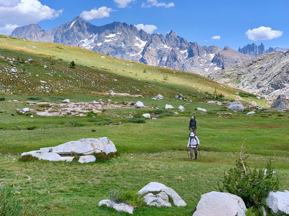
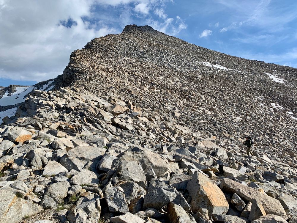
* The climb up to Bench Canyon where it joins with the Sierra High Route is steep and the creek flows over pure granite there, but we found grassy benches to climb up on the left side that were solid class 2. We called that section "The Wall."
* The Sierra High Route part of the trip up to Blue Lake Pass was just as described by Roper, class 1-2
* The circumnavigation of Foerster Peak from the lake below Blue Lake Pass to get to Foerster Ridge was easy class 1 until about quarter of a mile from the ridge where it turned into a low angle boulder field, class 2
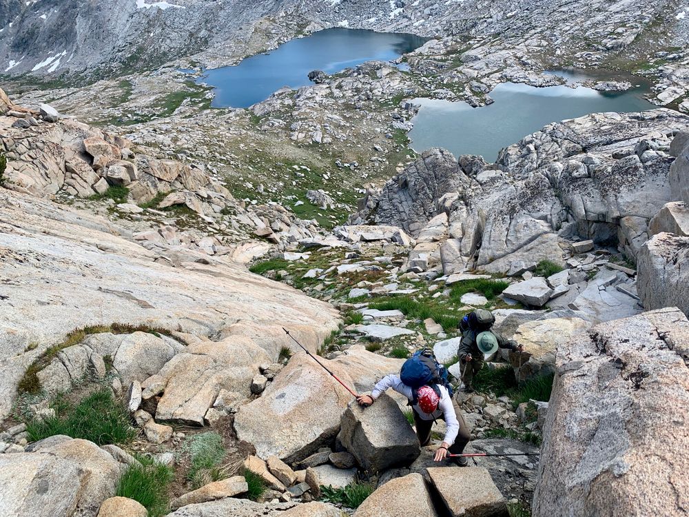
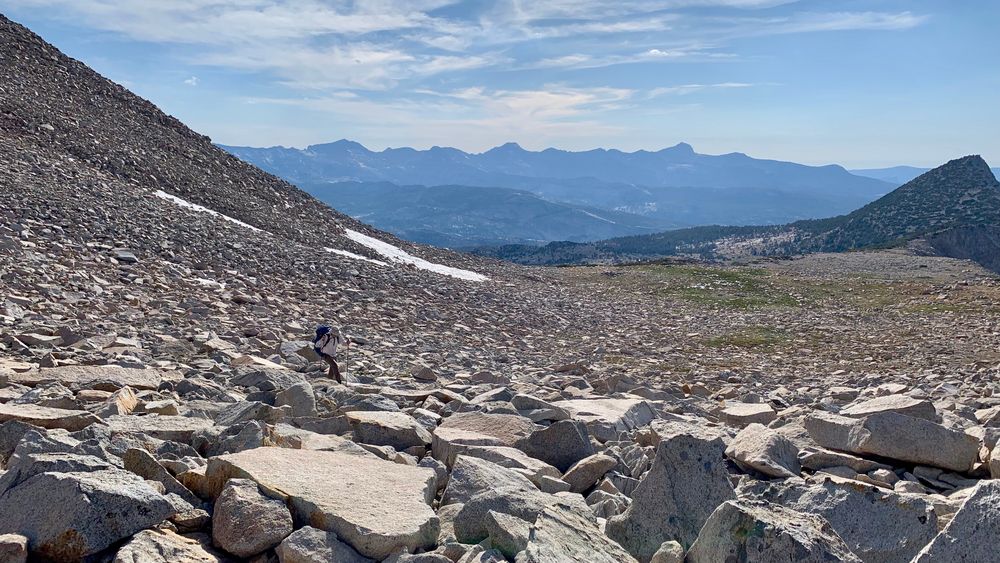
* Dropping down from Foerster Ridge is class 2+ but verges on class 3 for about 100 feet of descent. It then mellows out into very low angle boulders on the ridge that are surprisingly easy to traverse. The final drop down to Lyell Fork is a steep bouldery ravine, class 2+. We were glad we didn't go straight down from Foerster Ridge to the lake right below -- it looked very steep and the ravine below the lake looked just as talus-filled as the ridge above.
* In upper Lyell Fork it's probably best to climb to the top of the hill west of Lake 10999. We wasted a lot of time in loose talus in the ravine and then on the west side of this hill instead of just accepting that 80 feet of extra climbing was worth it.
* In lower Lyell Fork it might be better to cross to the north side of the stream about half mile before the Isberg Pass Trail crossing. That last bit on the south side is all willows and huge boulders and very slow going.
* There is a very nice camp site on the ridge on the switchbacks south of Lyell Fork at about 9800 feet that has a great view of the Clark Range and the Lyell Fork as it plummets to the Merced.
I've mapped our route on caltopo, including some suggestions for "better" routes for the tricky areas we encountered:
https://caltopo.com/m/K3HE
Some of my favorite images of the trip:
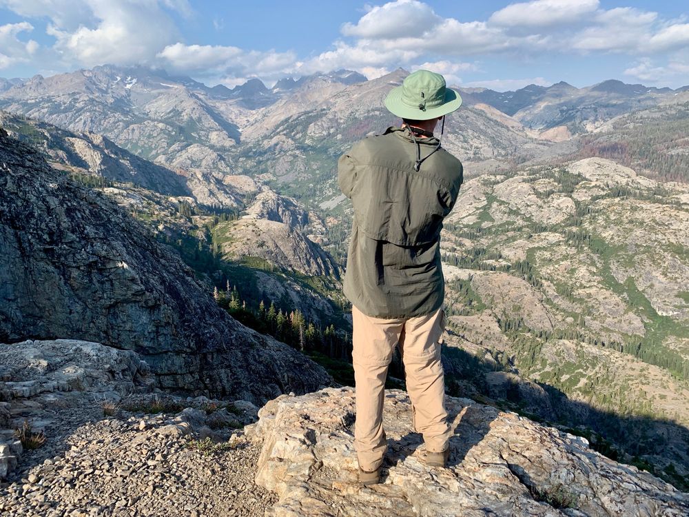
North Fork of the San Joaquin
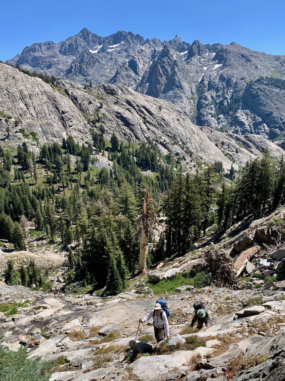
Climbing up "The Wall" (Ritter in distance)
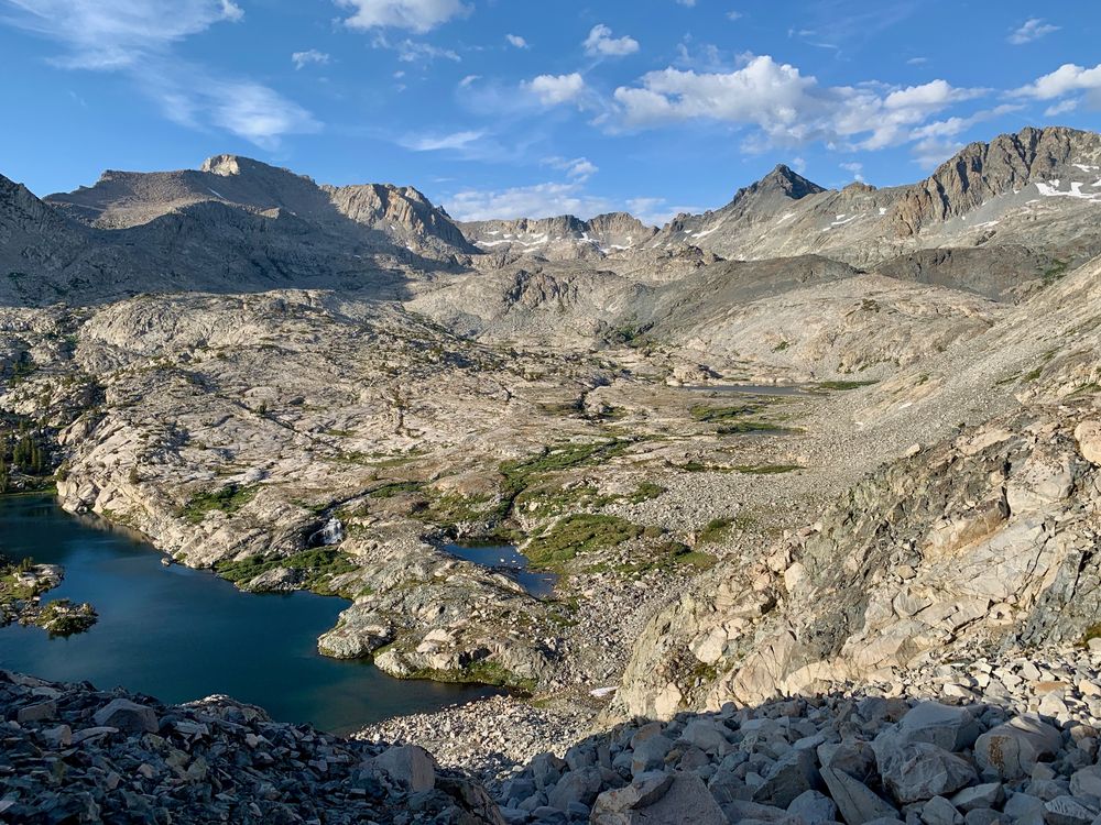
Lower Bench Canyon
Pure granite below Mount Ansel Adams
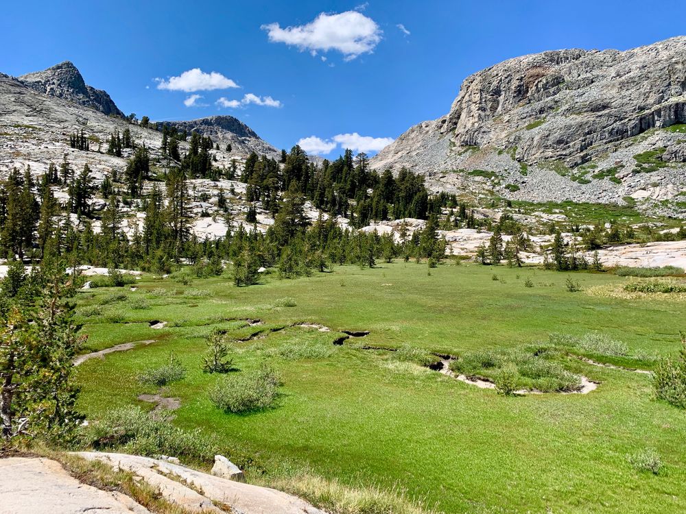
Upper Bench Canyon
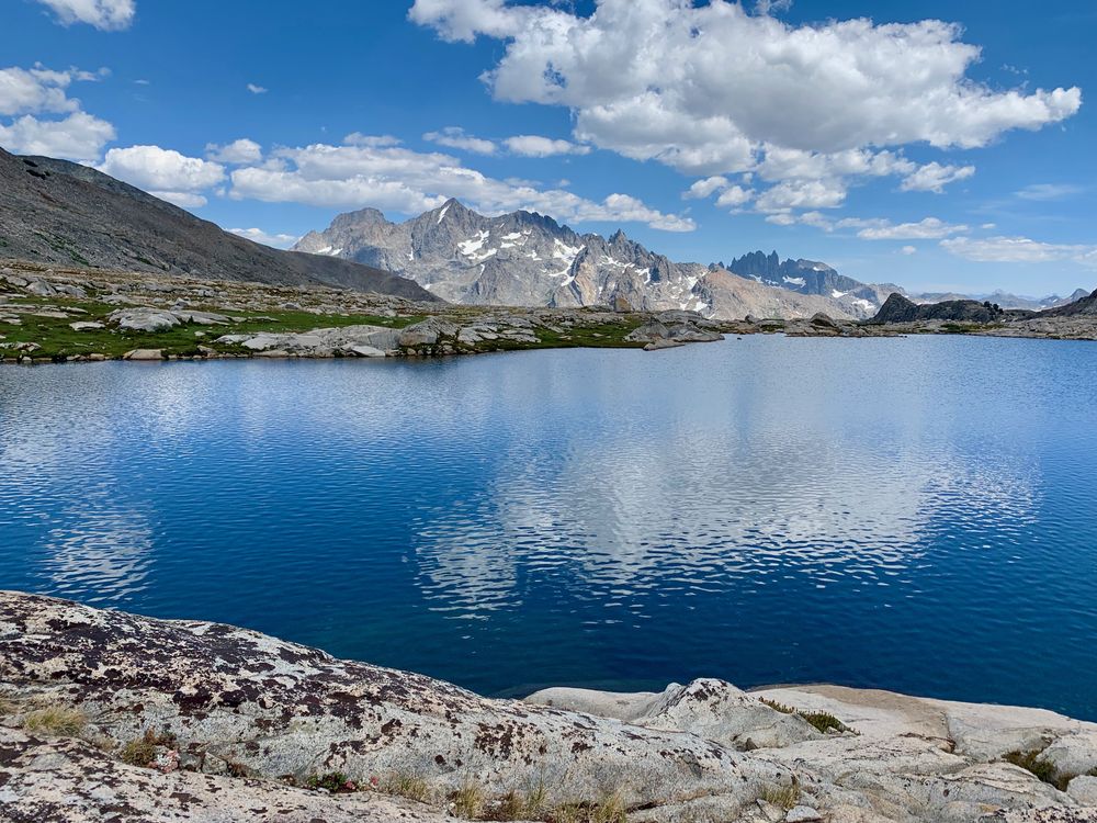
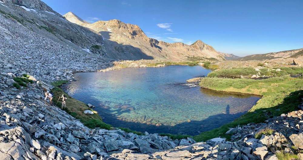
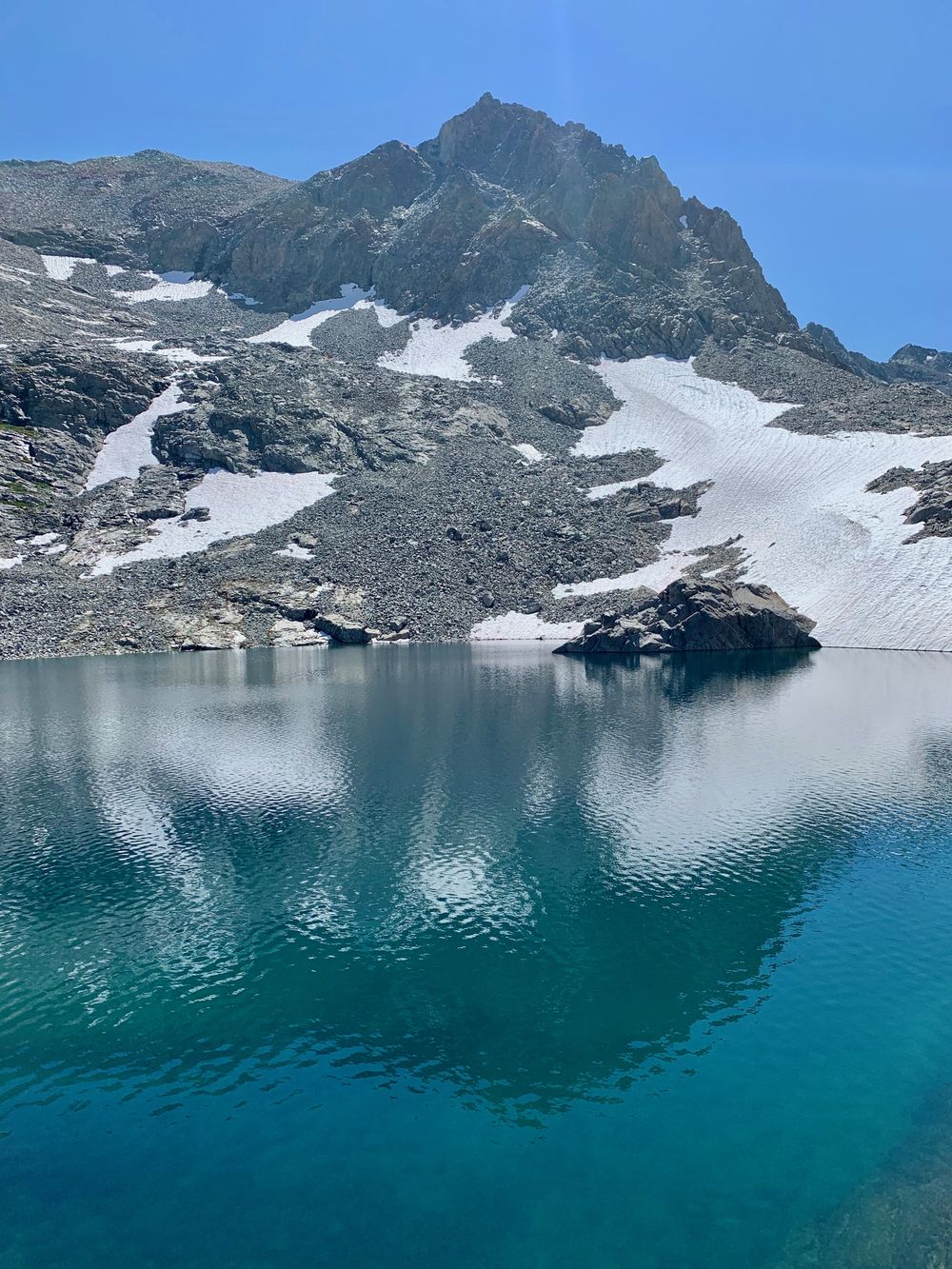
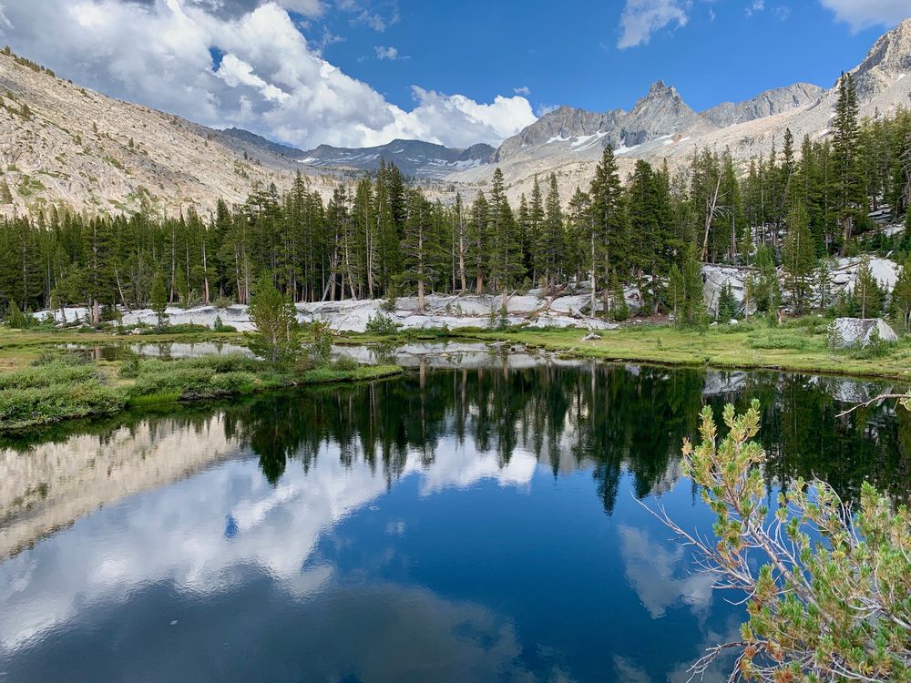
Aptly named Blue Lake
Grassy seam on the way up to Blue Lake Pass
Blue Lake Pass from the west
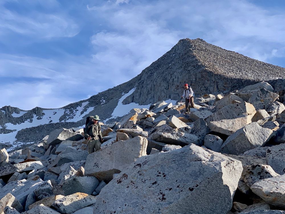
Foerster Ridge
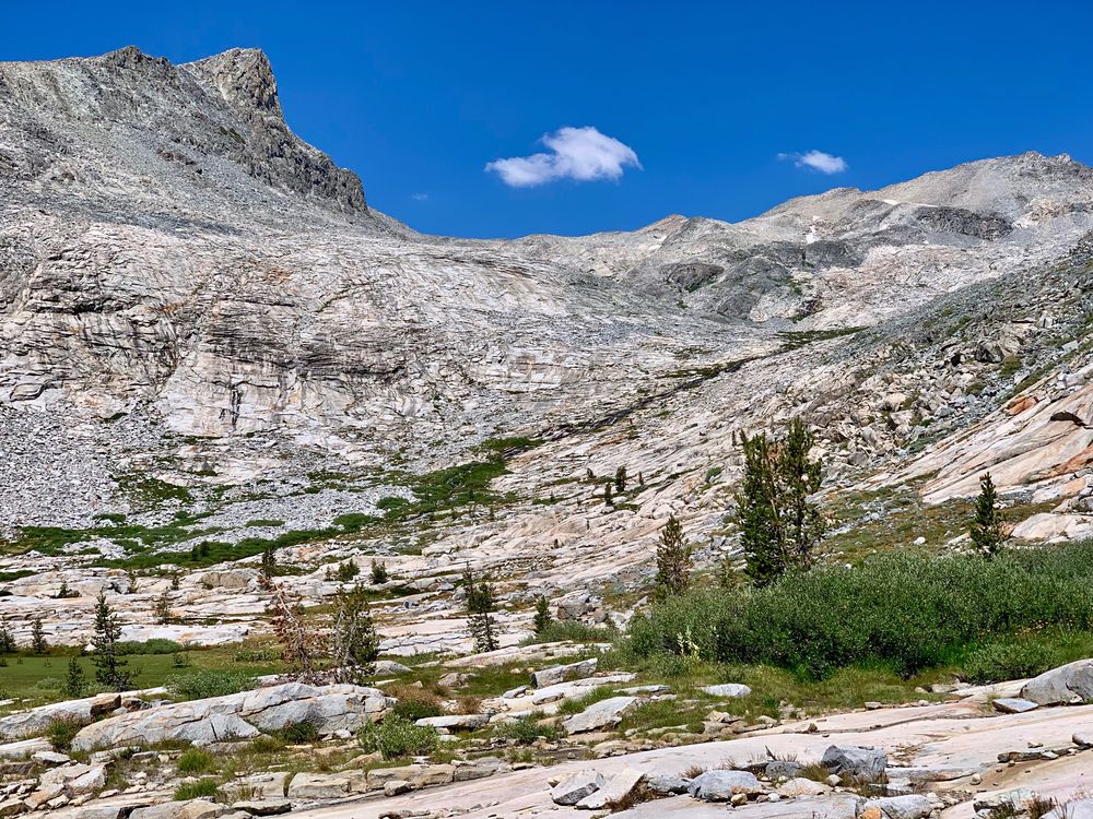
Terrain to the west of Foerster Ridge
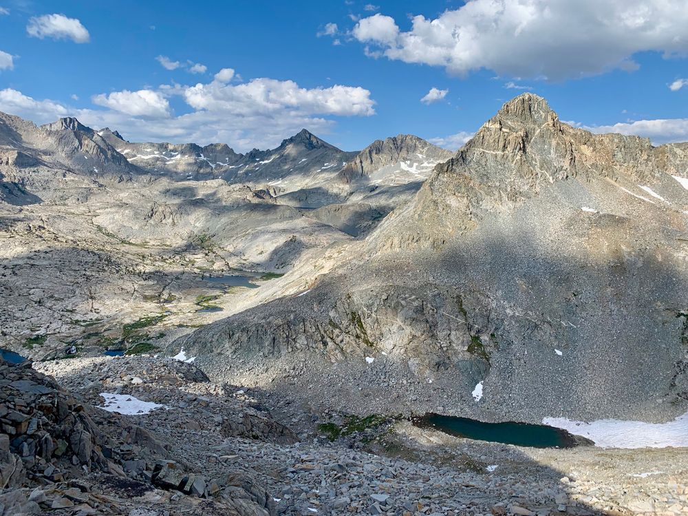
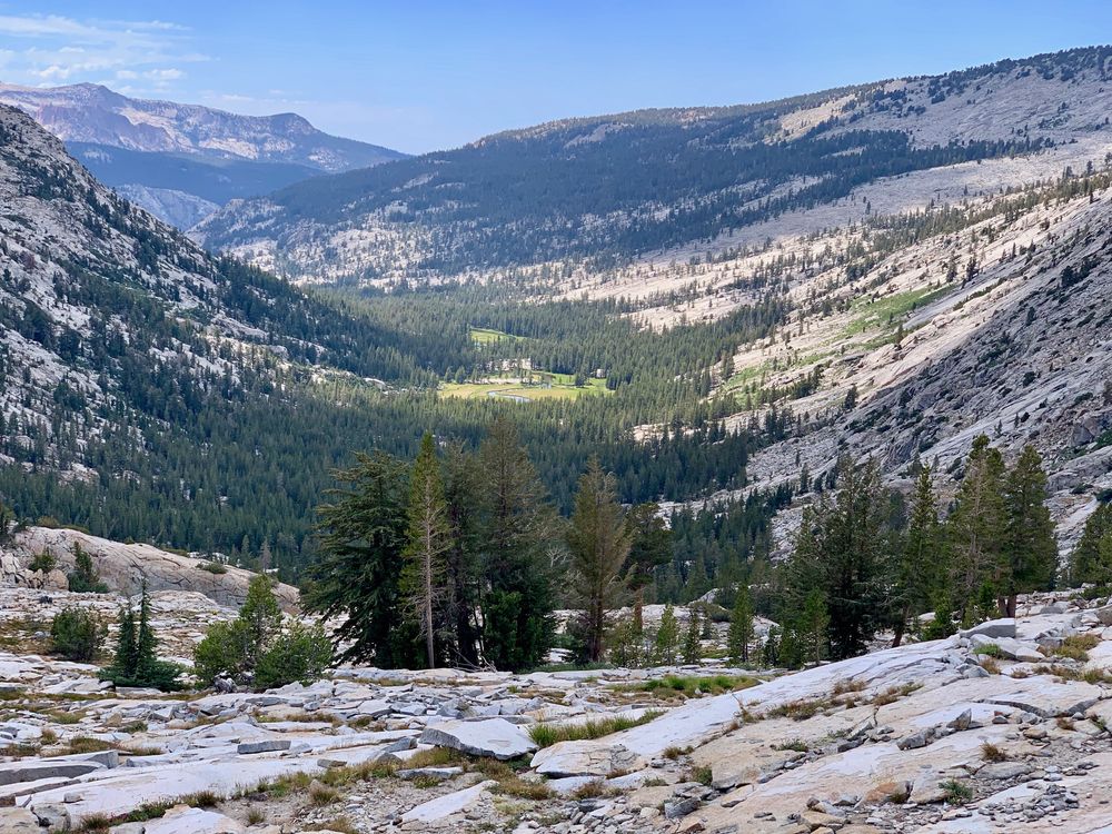
Lyell Fork from Foerster Ridge
Descending below Foerster Peak
Final steep descent to Lyell Fork
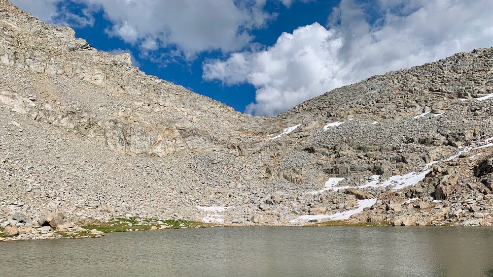
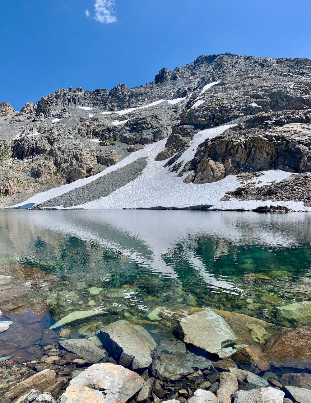
Unnamed lake above Lake 10217
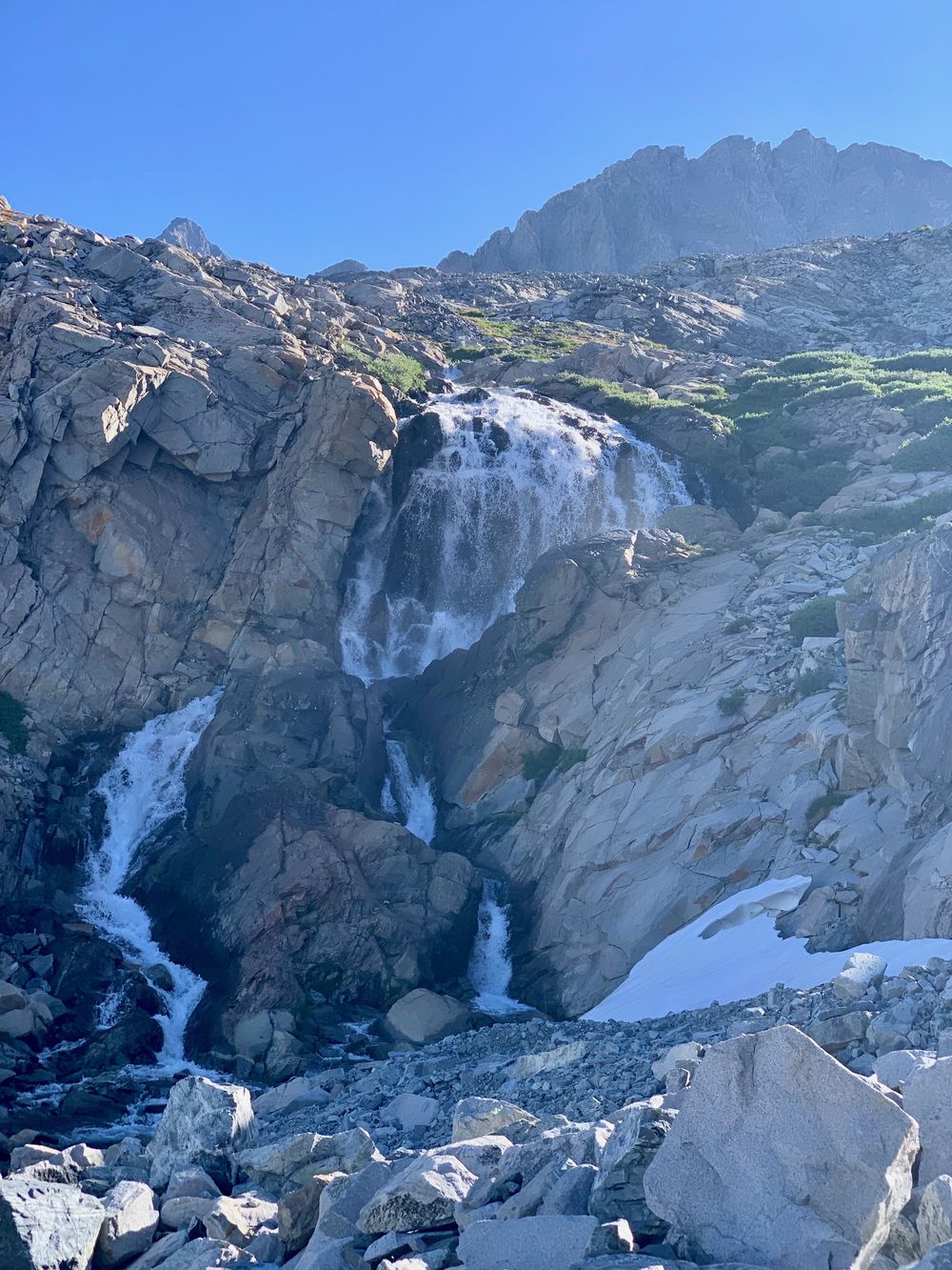
Waterfall below Lake 10702
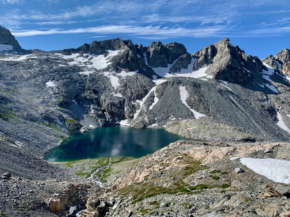
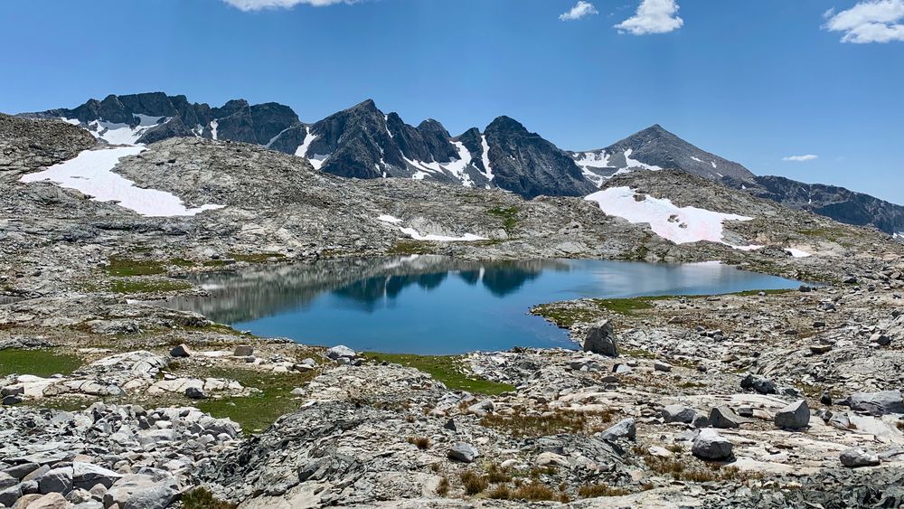
Lake 10702 from the hill west of Lake 10999
Lake 11160+
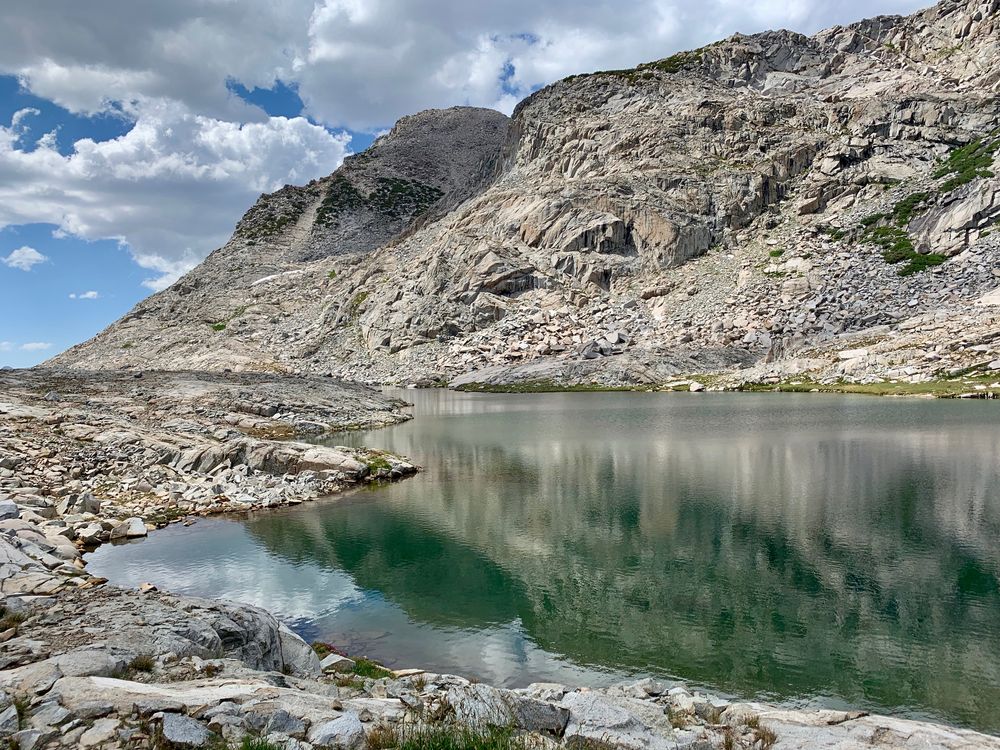
My swimming hole in Lake 11311
Unnamed tarn at 10960+
Lake 10880+
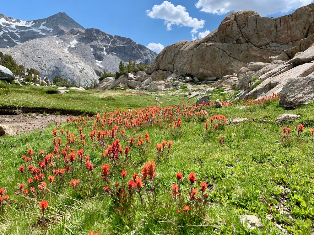
Paintbrushes
Lower Lyell Fork
Looking back up Lyell Fork
Awesome camp site on switchbacks at 9800 feet above Lyell Fork


