

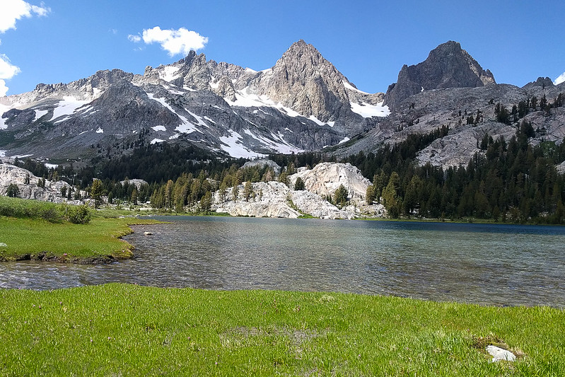
Sunday morning, I drove down to Postpile and started up the enjoyable trail to Minaret Lake. The sky was clear! Dew steamed off a meadow. I waded a creek. Jogging a shallow climb up into the mountains is one of my favorite things. All anticipation. Literally all uphill! Before I knew it, I was on the final climb. It's longer than you expect, but then you are at Minaret Lake.

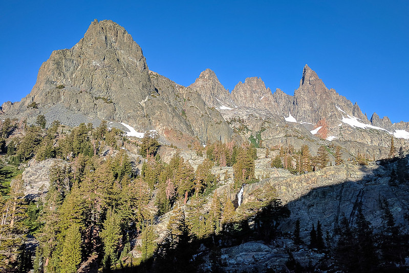

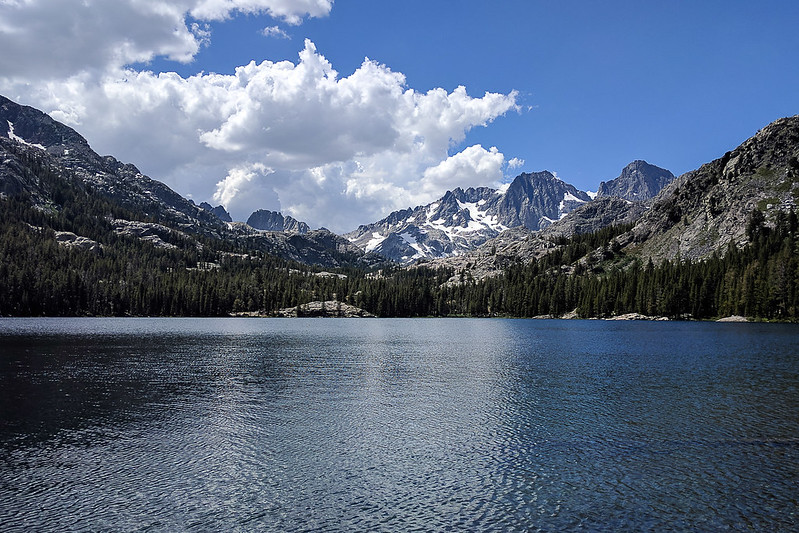
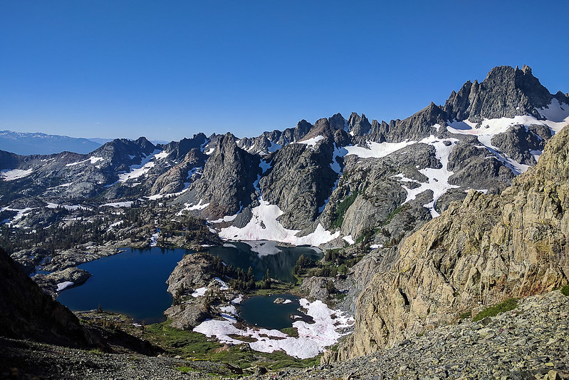
Minaret Lake was a zoo. People camped everywhere. But very pretty. I scrambled higher up the rocks for the view, then hung out until the sun had crept over the foreground rocks. Then down, and onward.

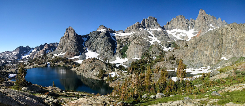
From Minaret Lake, it's an easy climb up to Volcanic Ridge, with no real route-finding needed.


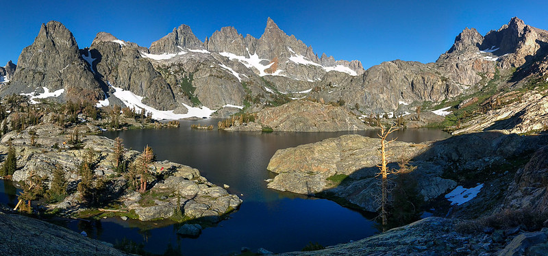
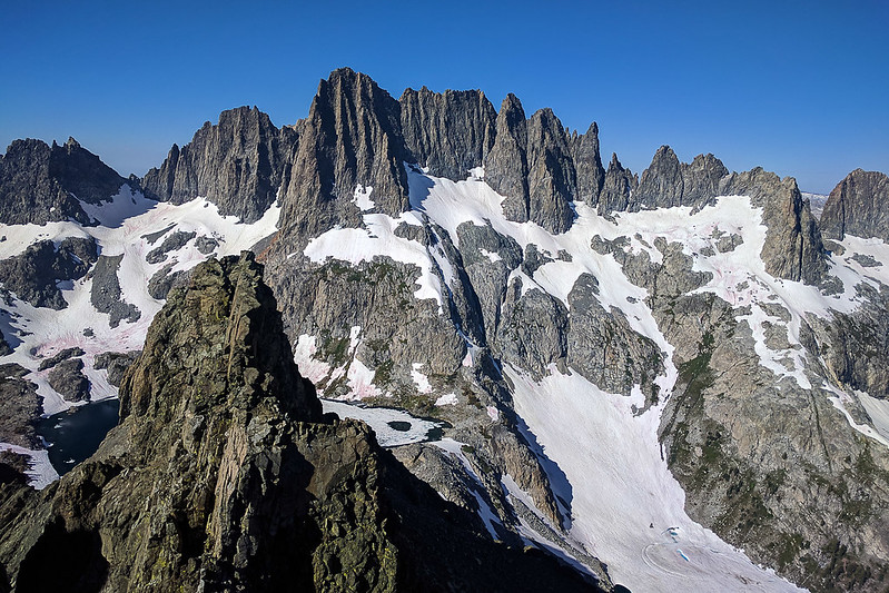
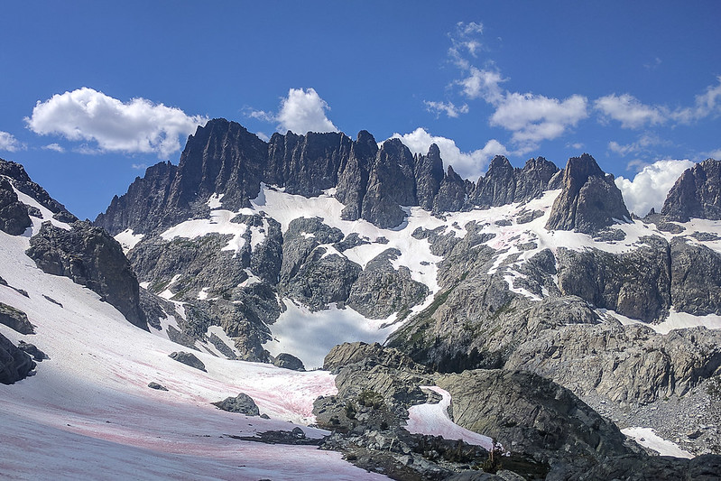
I ate my Clif bars at the top, and shot a panorama. A lower peak blocks some of the view of the Minarets; I'm not sure how hard that one is to top.


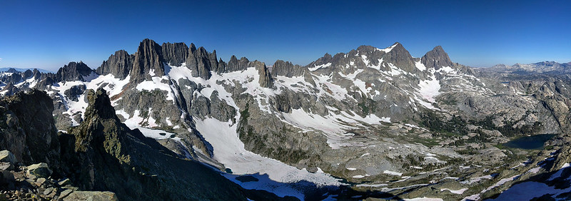

Here's a link to a draggable version of the panorama.
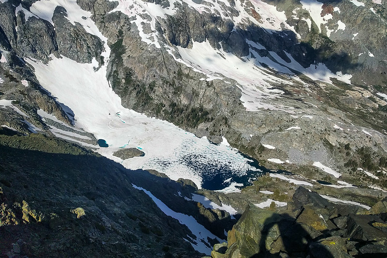
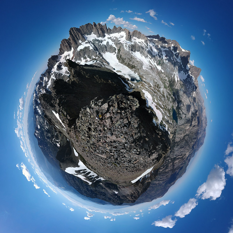
I descended the north ridge, aiming to make a loop. This was a bit more stressful, since there were plenty of snowfields and I wasn't carrying technical gear. The rock terrain is easy. In the worst case, if snowfields blocked me, I could turn around (provided I didn't descend something dangerous!). This was a reason for taking the loop clockwise—but obviously one is reluctant to backtrack. I did make two or three wrong turns but never had to ascend more than 50 feet. And I only had to cross two or three snowfields, at fairly shallow angles before, finally, reaching the trail. Chasing it around the corner, the trail ended in a snowfield.


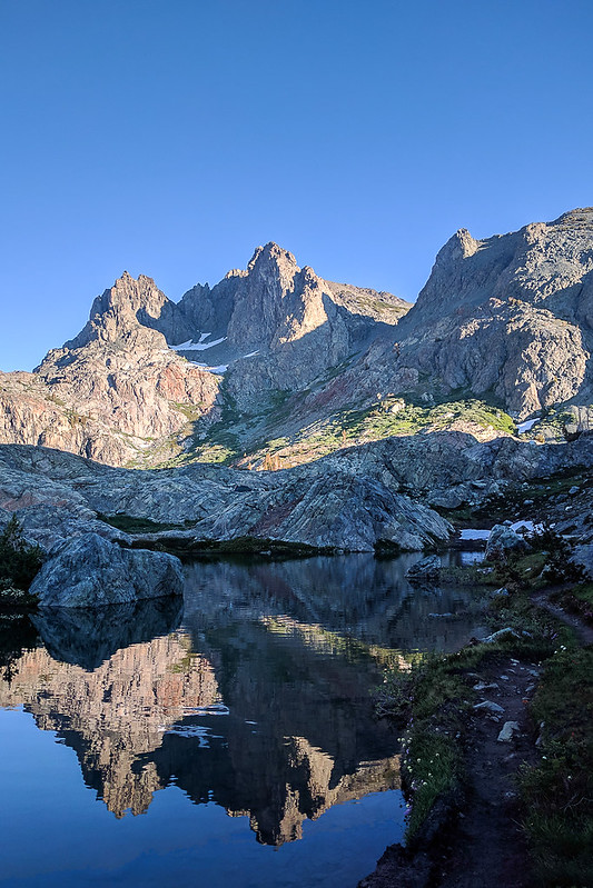
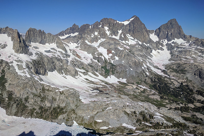
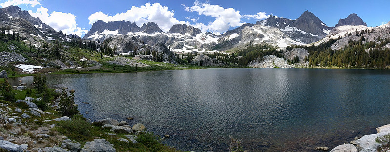
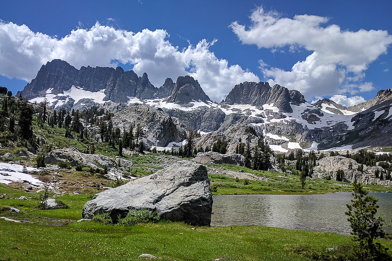
Ediza Lake was quite pretty. And unusually, there was nobody there! The ice at Iceberg was blocking people from one direction and, apparently, a knocked-out log blocked some groups from the other direction. Even without the log, the creek crossing was trivial.


WIth some regrets, I headed down. This is my least favorite part of a run. At Agnew Meadows, the shuttle arrived within 20 seconds and I was soon back to the car and off to South Lake/Dusy Basin.