
The forecast was for cold temps in the low 20's and the NOAA still showed several inches of snow above 11,000 feet, so I packed my winter gear including snowshoes, microspikes, 10 degree quilt, xtherm and pyramid shelter.
By the time I picked up a permit and drove to the Cottonwood Lakes trailhead it was 1:00 pm. With the long summer days I still had plenty of time to make it to the lakes and find a good place to camp. . .
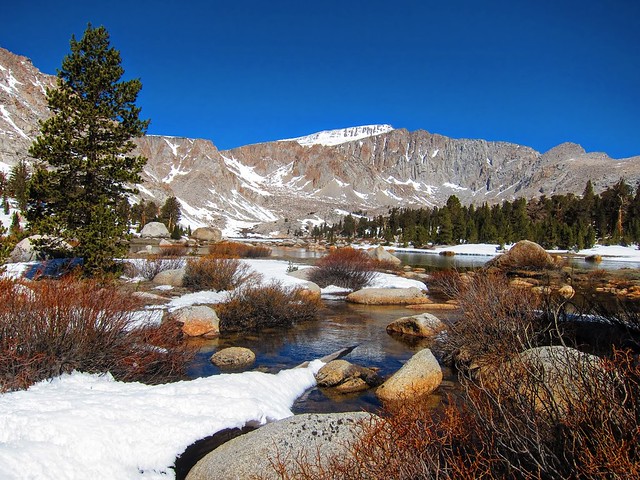
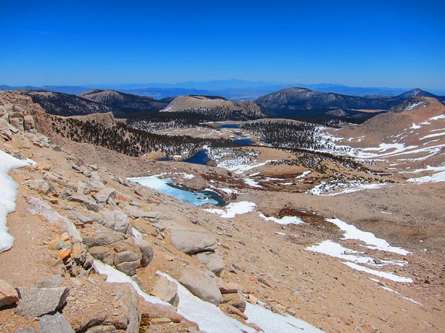
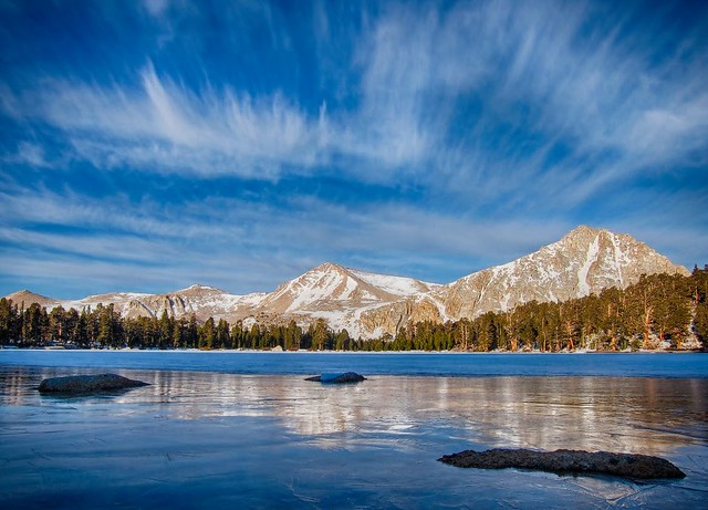
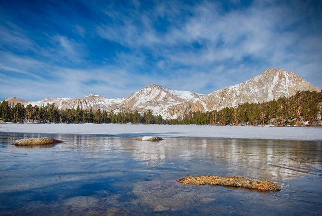
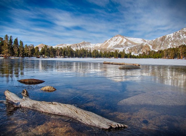
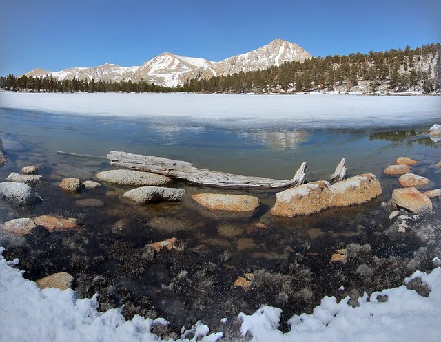
Cottonwood Lake #1:
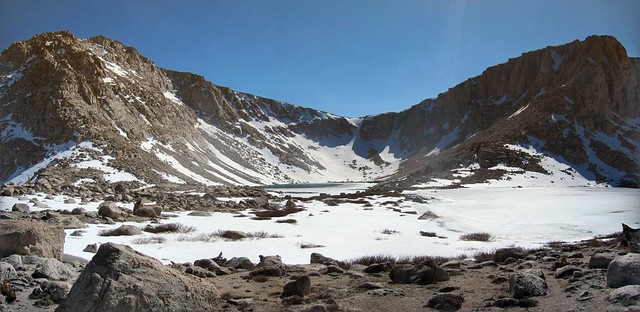
Looking down from Lake #5:
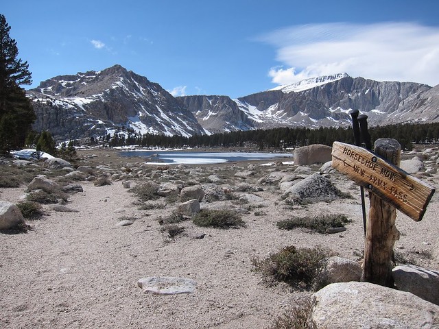
Lake #5 and Old Army Pass:
I made camp in the trees above Lake #4 and hunkered down for a cold night. The wind blowing off of the lakes created a natural 'walk-in freezer' environment and by morning the temps got down to 15 F. Although most of the lakes were beginning to melt Lake #4 was re-frozen by morning.
The next day I headed for New Army Pass and (hopefully) Mt. Langley. I brought snowshoes and with an early start I planned on making it to the peak and back before dark.
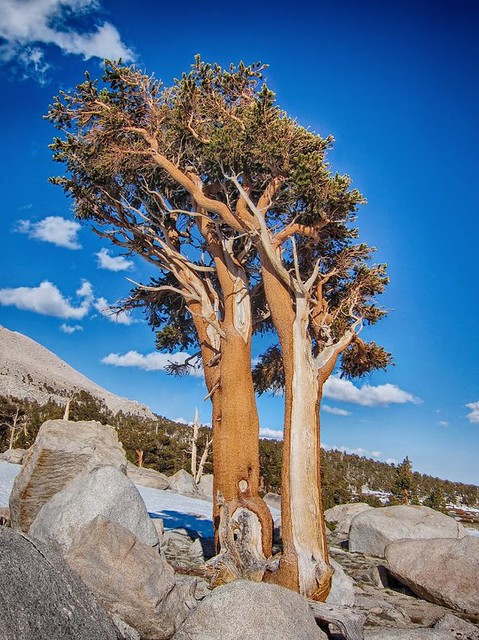
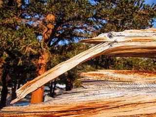
Resilient old trees:
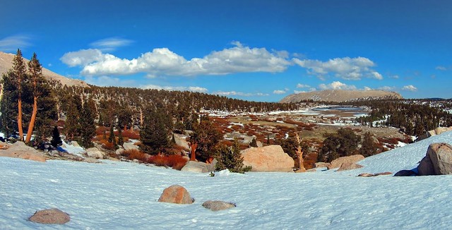
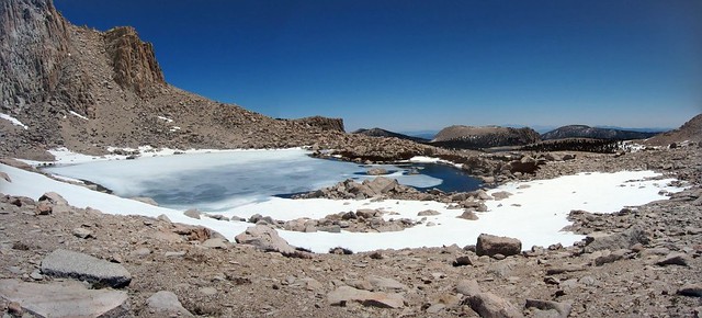
Melting lakes and Mt. Langley:
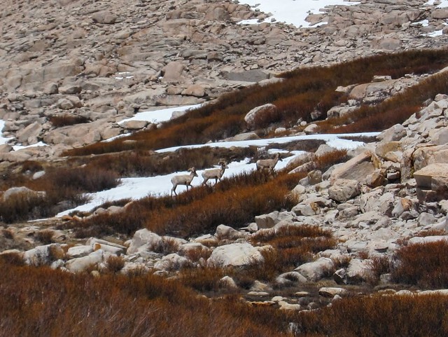
Resilient wildlife:
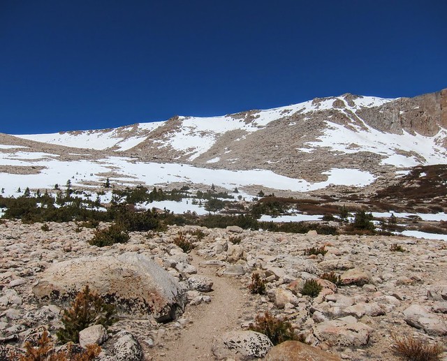
On the way to NAP:
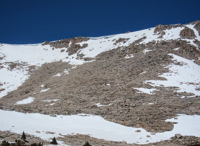
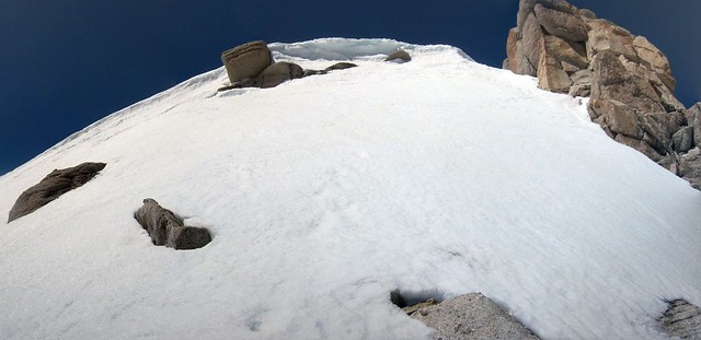
Cornice at the top of NAP:
The trail became covered near the top:
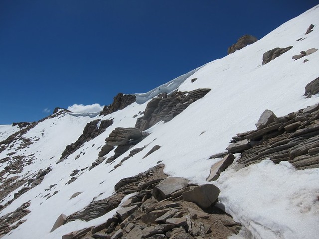
A little too steep (and exposed) to self arrest with just trekking poles:
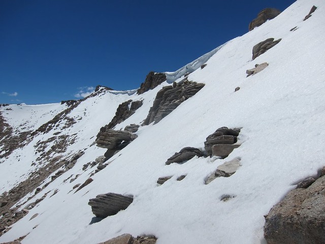
I searched for a possible route over the pass and was able to snowshoe near the top:
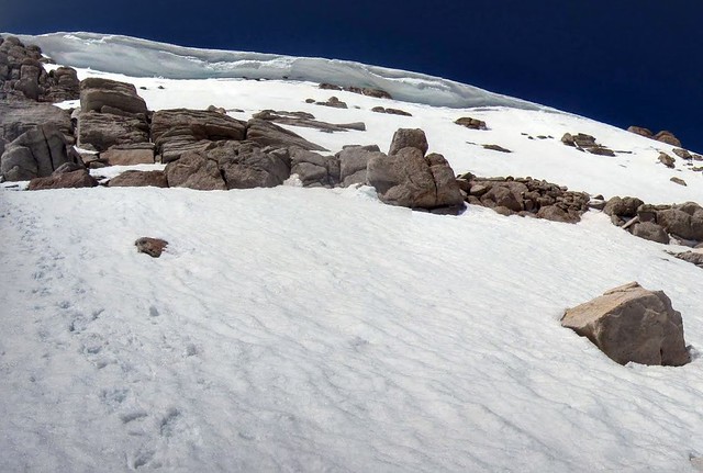
The final almost vertical section:
I hung around and enjoyed the view. . . Mt. Langley will have to wait until later.
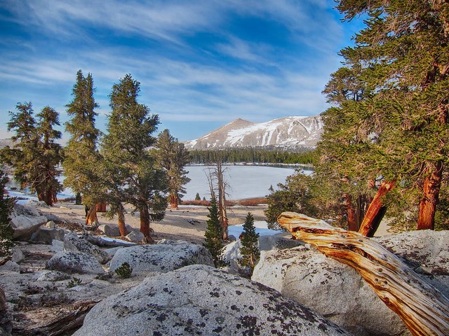
High Lake:
By the time I got back to camp and had an early dinner I decided to head back down the mountain. Hiking along the meadows in the late afternoon was pleasant and the long shadows made for beautiful scenery. It was after 6:00 pm on Sunday and I had the entire basin to myself. All of the creeks were flowing and I could hear the frogs starting to sing as I hopped over another rushing stream.
Then I realized I had left my snow anchors back at the lake. Abiding by LNT principles (and not wanting re-buy titanium snow anchors) I went back to camp to get them. On the way back I noticed the sign for Muir Lake. I remember reading a trip report about Muir Lake with some nice photos here on HST. It was getting late so instead of hiking the last few miles back to the car in the dark I made the turn toward Muir Lake.
Sandy beachfront on Muir Lake:
I cowboy camped among the trees in one of the nice flat camp spots above the lake.
I woke to an amazing sunrise on Cirque Peak. Even though it was 18 F I grabbed some (ice) coffee and followed the sand down to the lake:
Thanks for reading.
Andy.


![[rimg]http://i249.photobucket.com/albums/gg23 ... nice_1.jpg[/rimg]](http://s249.photobucket.com/user/npallister/media/54_SkyB_NewArmyCornice_1.jpg.html)