TITLE: East Ferguson Pass (Unofficial) / Big Bird Ferguson Col
I take issue with many passes that are called couloir's and this one is no exception which is why I am sticking with the term I used for the pass until other wise I hear a more proper name.
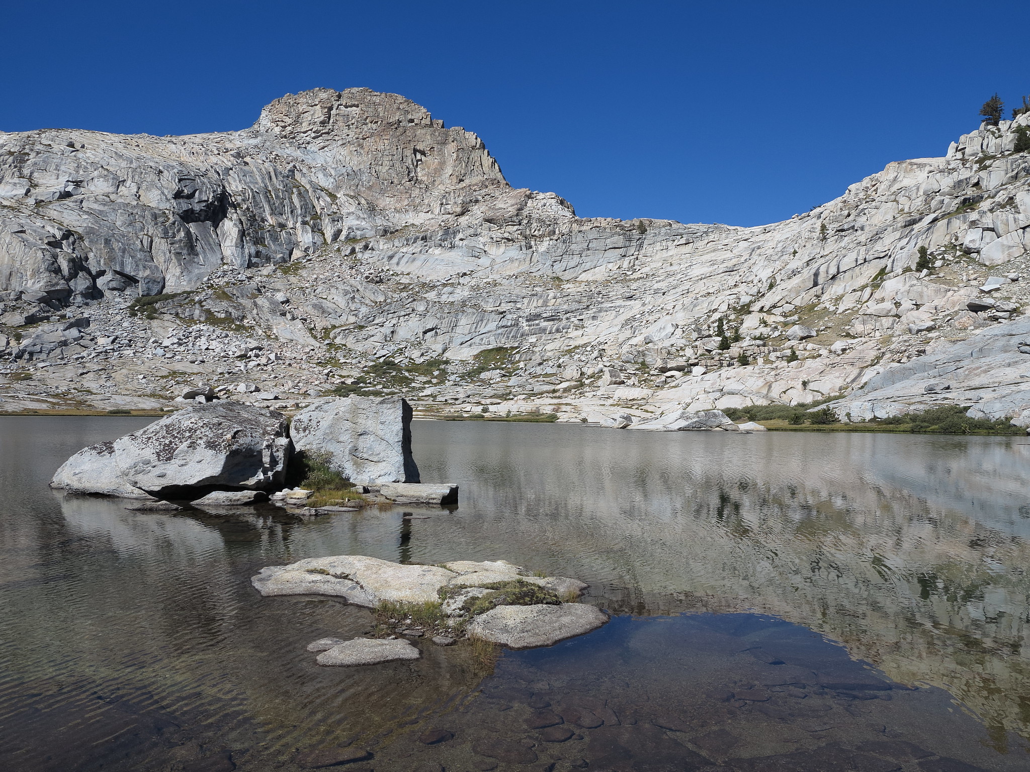
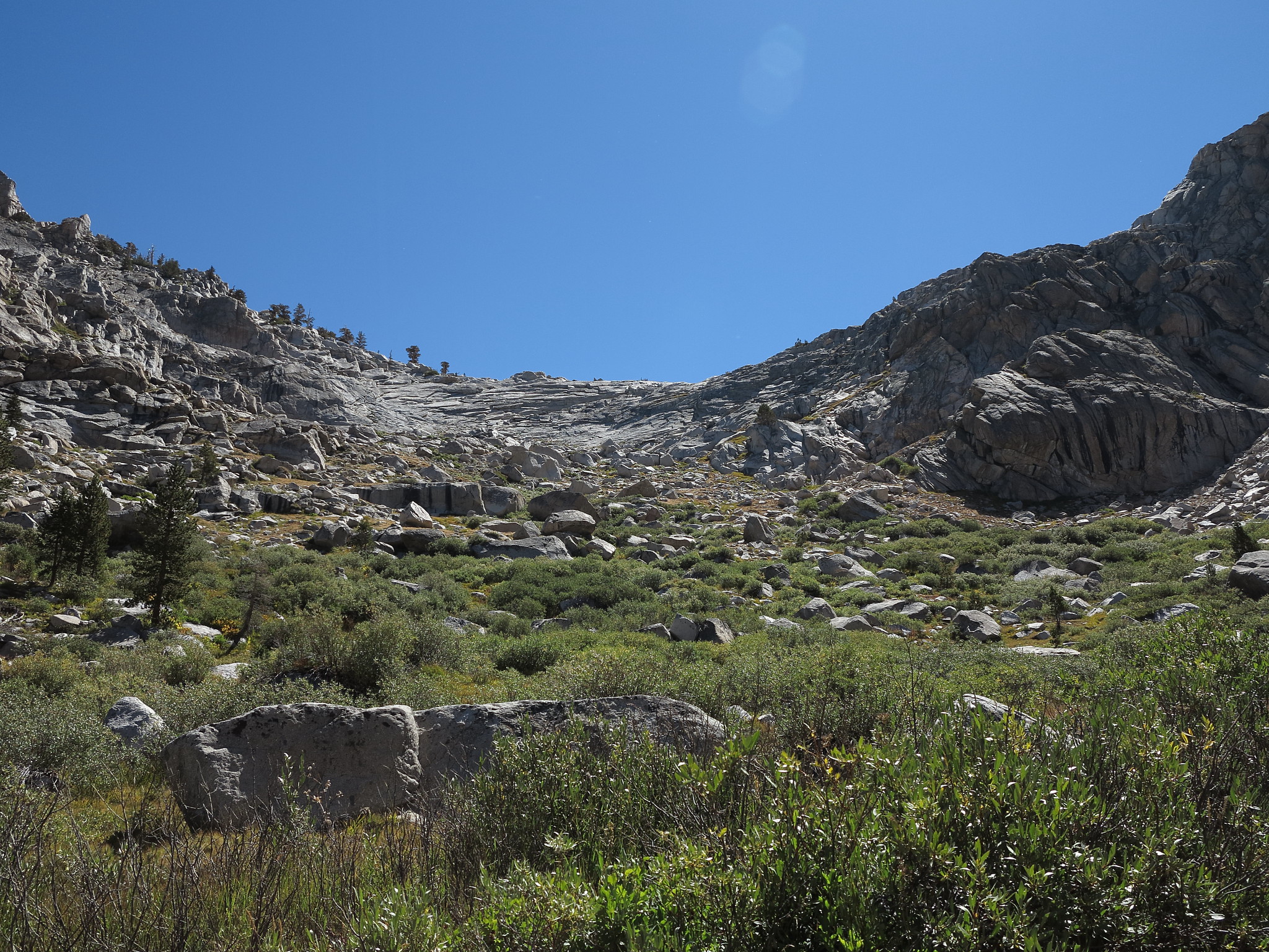
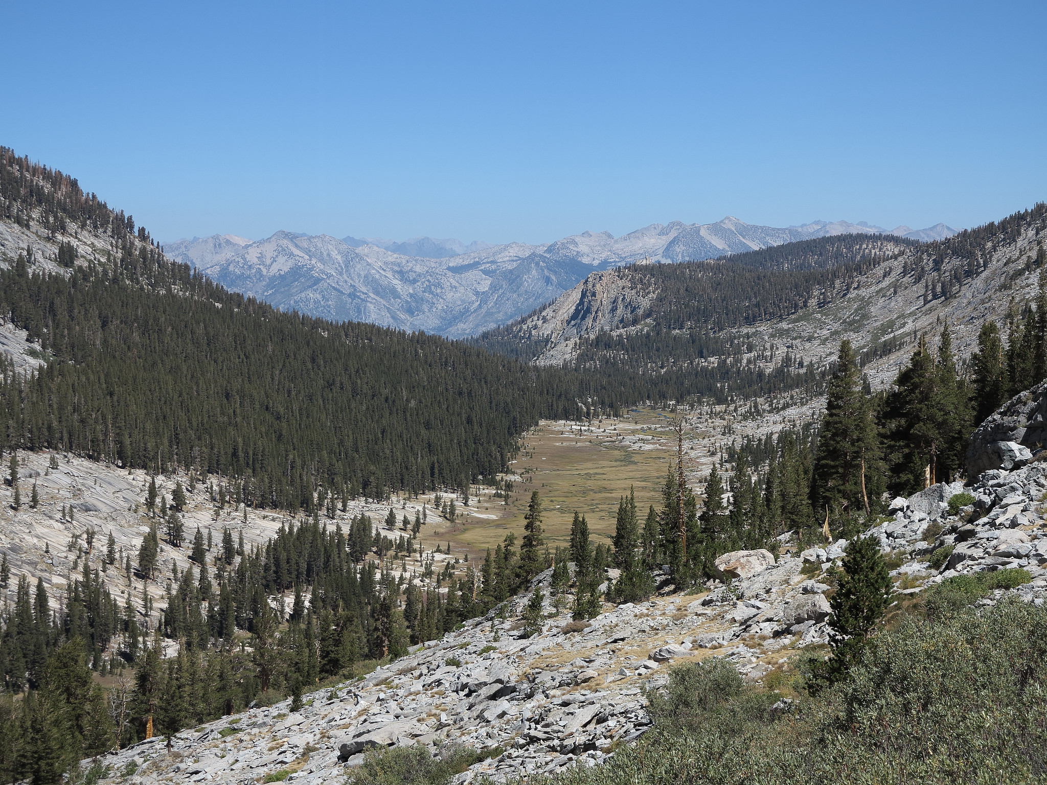
GENERAL OVERVIEW: This pass crosses the low saddle at the head wall of Ferguson Creek and the small cirque on the SW side of Deadman Canyon
CLASS/DIFFICULTY: Class 3
LOCATION: Kings Canyon National Park at the head of Ferguson Creek. HST Map
ELEVATION: 10,700
USGS TOPO MAP (7.5'): Sphinx Lakes
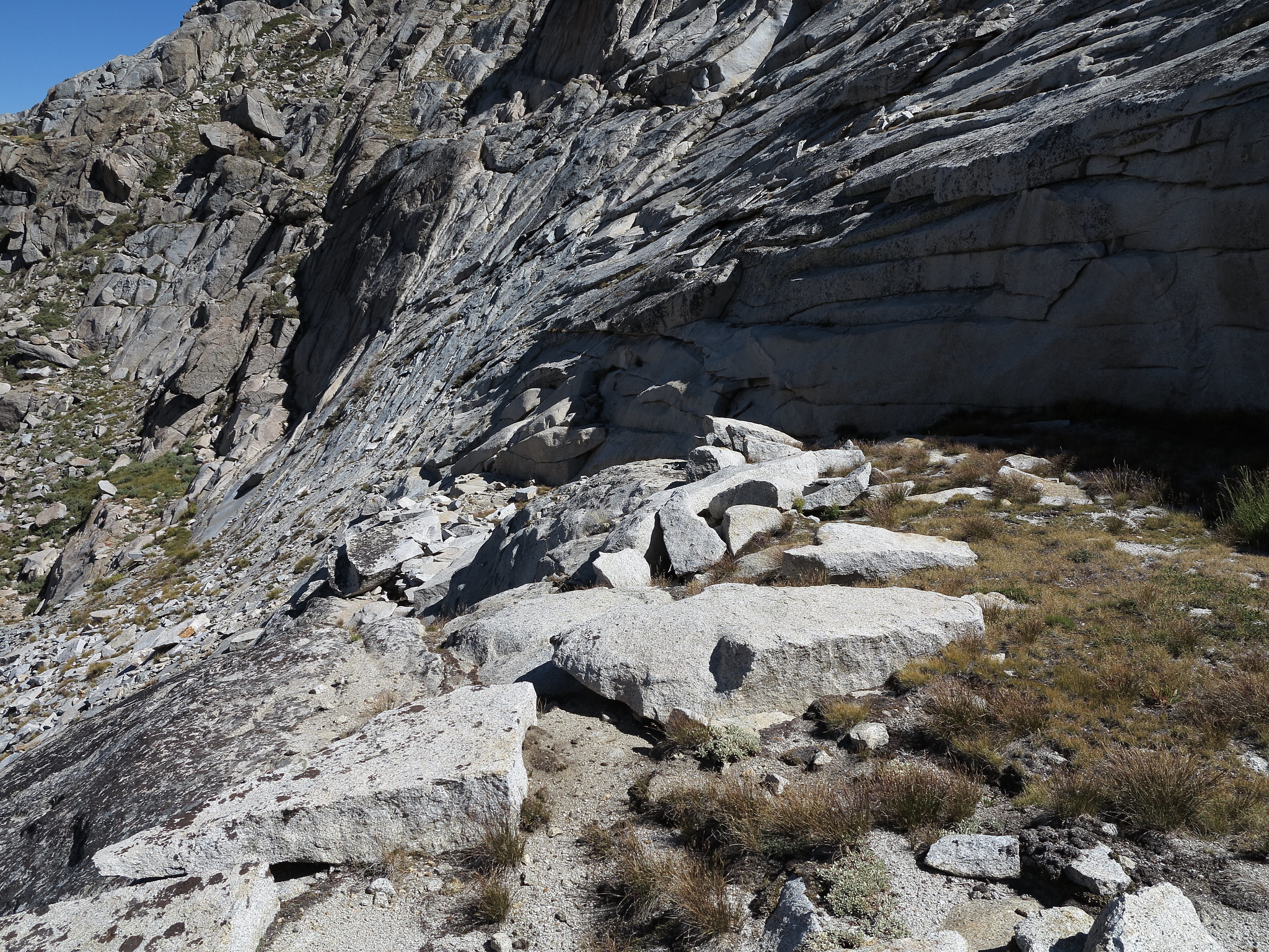
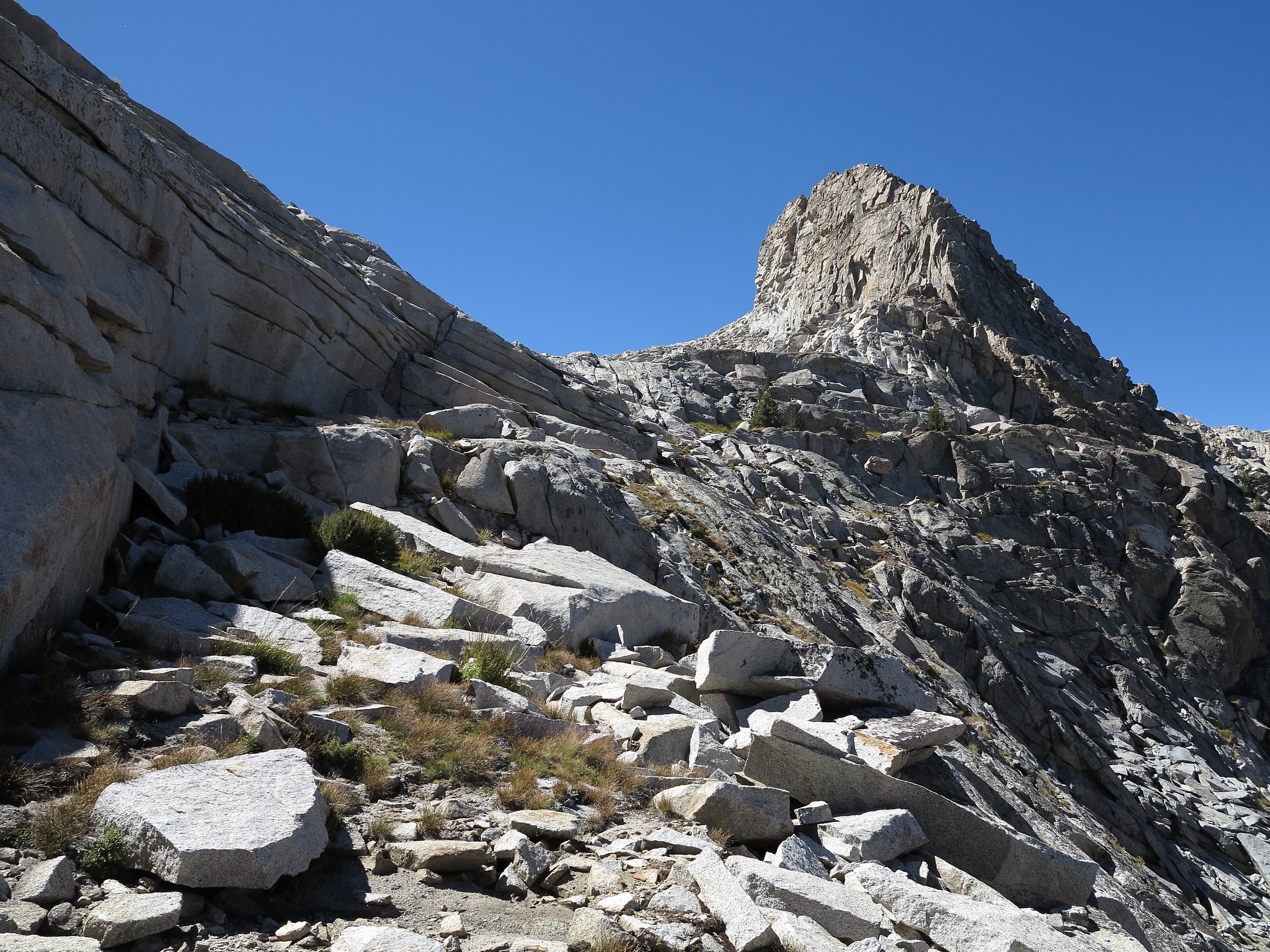
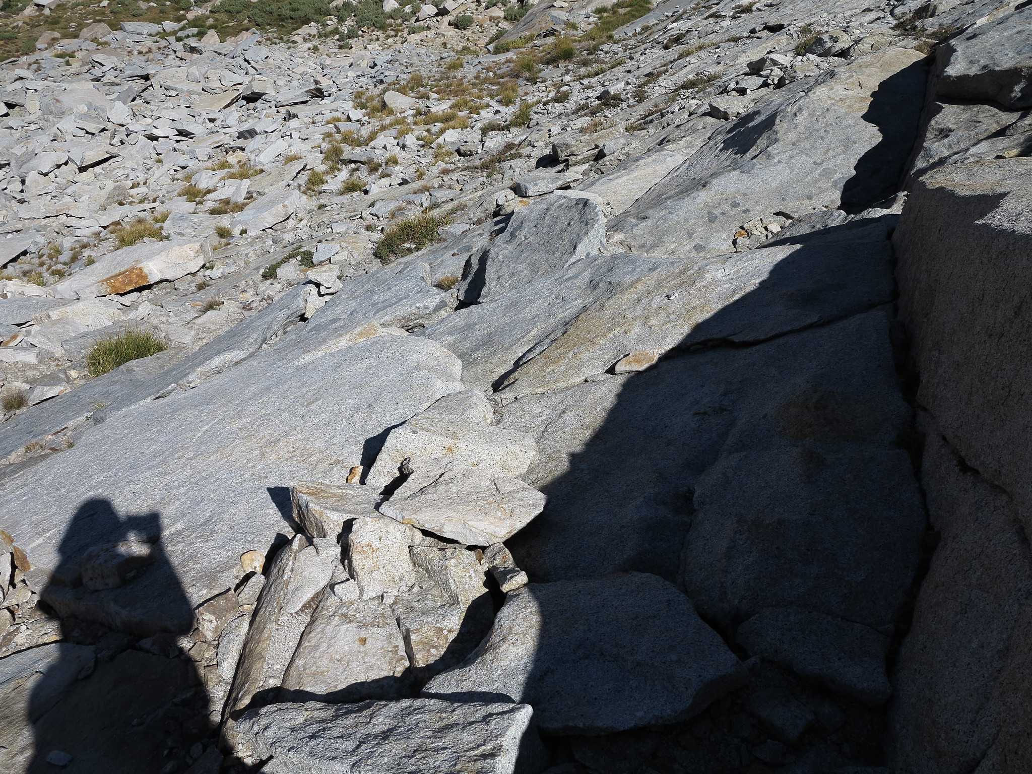
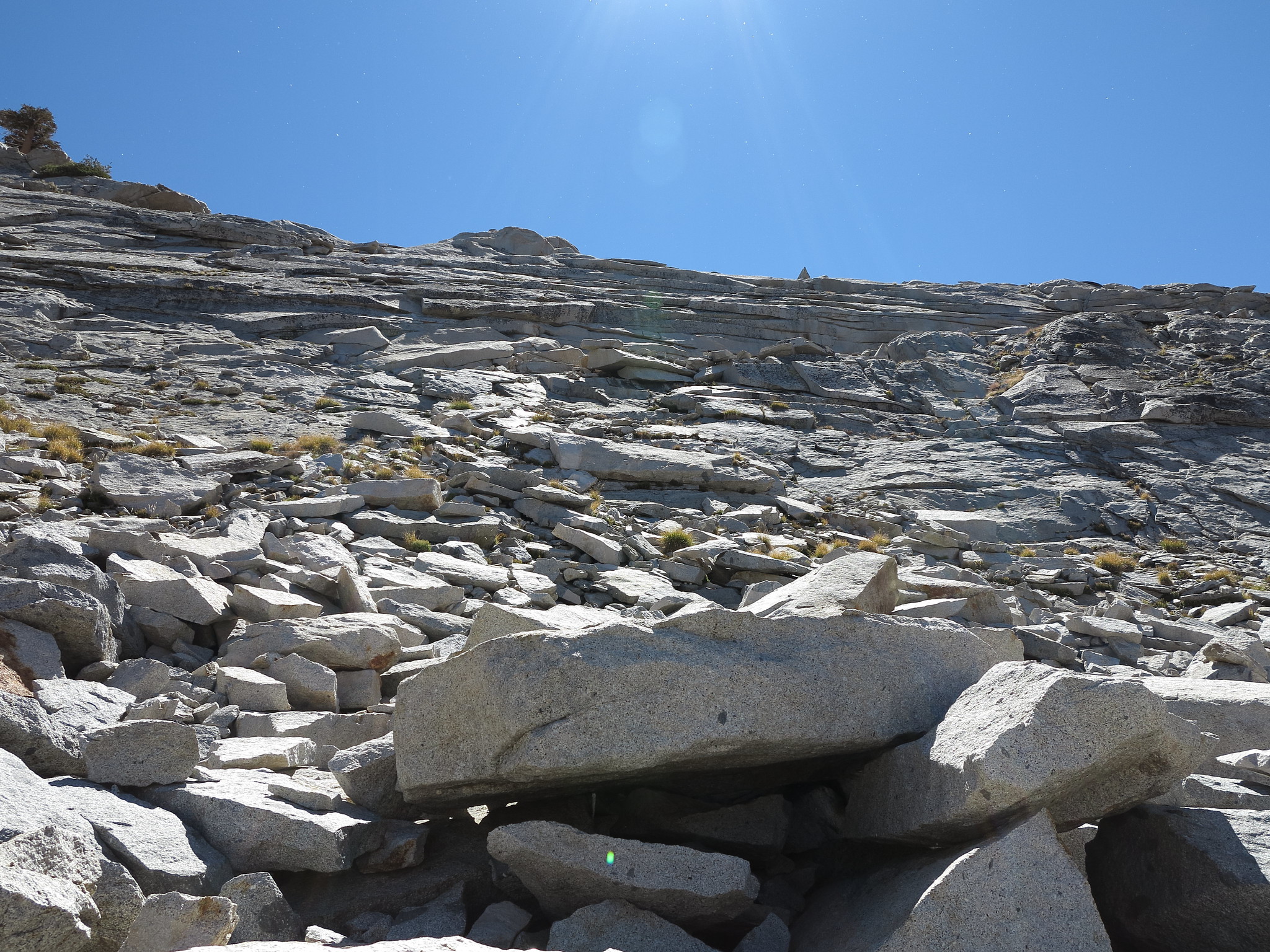
ROUTE DESCRIPTION: From both sides of this pass your faced with a bit of a wall before you without an obvious route. If your coming from the SE side you can start by angling up a section of grassy ramps that will lead you into class 3 blocks and shelves. Route finding throughout this area is going to be within a persons own comfort level. Further into the center of the pass I noticed some small narrow shelves that could be zig zagged up but I kept more to the right of the saddle and made my way through a couple difficult class 3 sections.
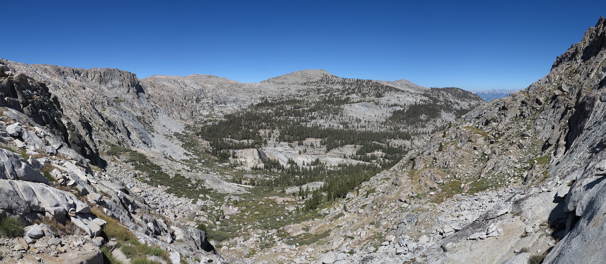
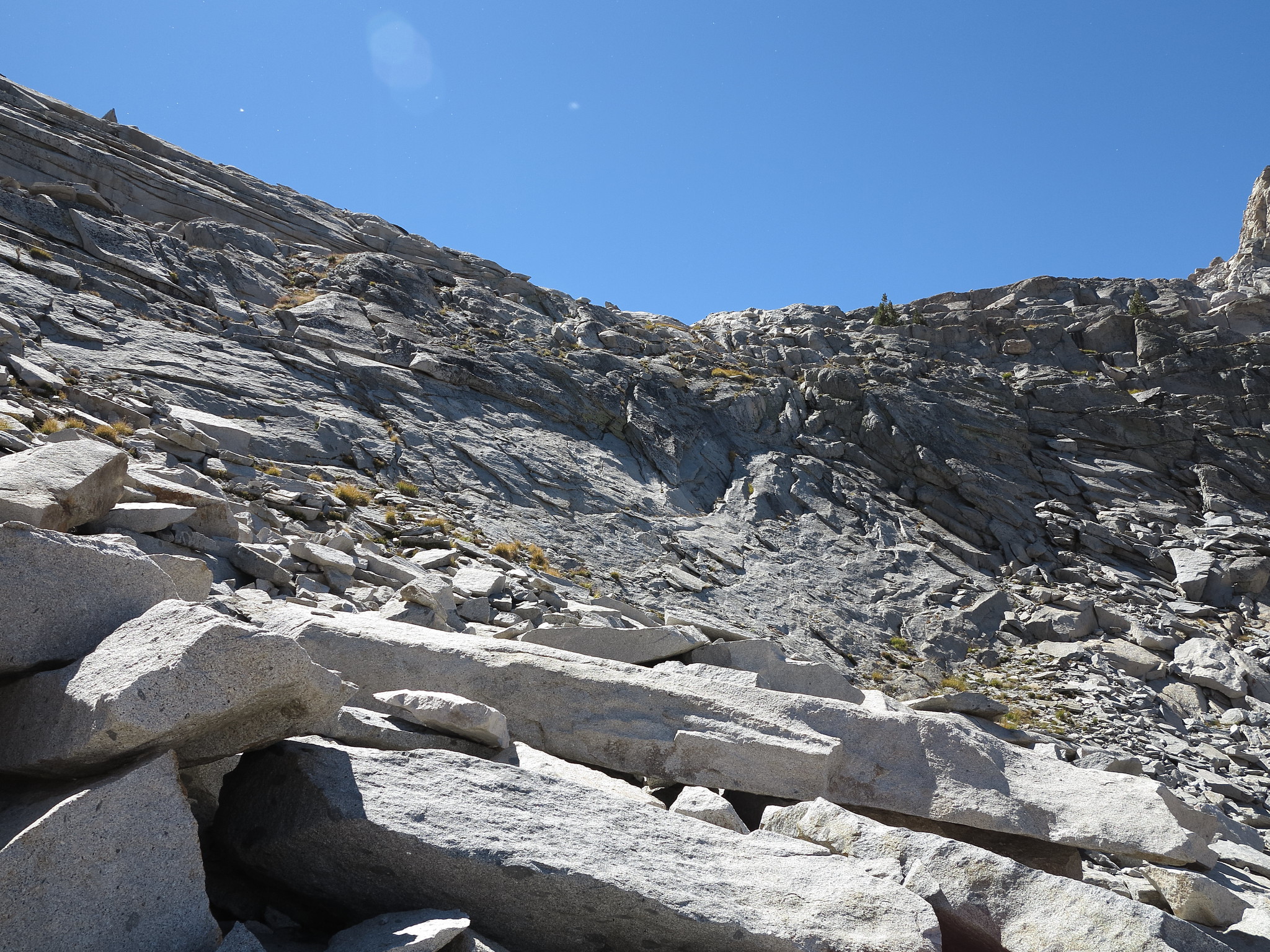
The NW side of the pass you will begin moving to your right where a great ramp leads down. At one point it will end at a class 3 section of rocks to climb down at which point you just drop down as you please. Lower down there is a number of large patches of willows which can be navigated through quite easy.
If your climbing from Ferguson Creek just stay far to the left until you make your way to the ramp. You might feel intimated of the pass until you find this ramp as it's not visible at all until you reach it.
I found a large number of cairns marking the route.
East Ferguson Pass (Unofficial) / Big Bird Ferguson Col
- RoguePhotonic
- Topix Fanatic
- Posts: 1693
- Joined: Thu Mar 24, 2011 9:52 am
- Experience: Level 4 Explorer
- Location: Bakersfield CA
- Contact:
- oldranger
- Topix Addict
- Posts: 2861
- Joined: Fri Jan 19, 2007 9:18 pm
- Experience: N/A
- Location: Bend, Oregon
Re: East Ferguson Pass (Unofficial) / Big Bird Ferguson Col
Just noticed these two reports (this one and W. ferguson) and I've got to disagree with the 3 rating on this one. As a well known coward when it comes to nasty stuff, I have done this pass several times, once with my 14 year old son and never got nervous about the route. Both passes appear intimidating but I don't recall ever using my hands doing either one.
Mike
Who can't do everything he used to and what he can do takes a hell of a lot longer!
- RoguePhotonic
- Topix Fanatic
- Posts: 1693
- Joined: Thu Mar 24, 2011 9:52 am
- Experience: Level 4 Explorer
- Location: Bakersfield CA
- Contact:
Re: East Ferguson Pass (Unofficial) / Big Bird Ferguson Col
What I did on the SE side of the pass was certainly class 3 and as I noted difficult but that doesn't mean a much easier route I missed couldn't be taken.
On the NW side the only piece that I considered 3 and easy was when the ramp comes to a narrow end and you have to drop down a steep narrow crack of a slab. Again maybe there is a better way or perhaps I misjudged thinking it was 3.
- giantbrookie
- Founding Member & Forums Moderator
- Posts: 3582
- Joined: Wed Dec 28, 2005 10:22 am
- Experience: N/A
- Location: Fresno
- Contact:
Re: East Ferguson Pass (Unofficial) / Big Bird Ferguson Col
I wonder if we're all talking about the same pass after looking at the map. I went in and out of the Ferguson Creek drainage (to the same lake in the photo) from the Tablelands in 2002 by downclimbing the headwall at the end of a moderately long day that originated in Wolverton. This would be a bit to the W of the "E Ferguson Pass" saddle mentioned here, which goes from crosses from the W to E Fork Ferguson Creek drainage btw the Tablelands and the "Gray Whale" Pt 11446 (those who've seen this know why I call it this). The descent of the W Ferguson Creek headwall from the Tablelands was easy class 2 on slabs and talus. I wonder if this is the pass that OR is referring to. On day 2 I also didn't do either E Ferguson Pass or the Big Bird-Ferguson saddle because I just retraced the easy class 2 route up onto the Tablelands and coasted across before dropping down (class 2) into Big Bird. I figure going up to the Tablelands and taking the high express may be faster than doing the two passes over the divides but this would depend on what one's goals and interests during the day.
Back in 1979 I climbed the "Gray Whale". The spine of the ridge going across the saddle from Tablelands was class 2 but I didn't explore the nature of the saddle on either side. I know the benches and shelves are pretty steep coming off the side. I took a potentially damaging fall coming back from the Gray Whale (probably above the saddle) and was saved from a hip injury by my old school Sierra Cup that squashed to a banana shape on impact.
Since my fishing (etc.) website is still down, you can be distracted by geology stuff at: http://www.fresnostate.edu/csm/ees/facu ... ayshi.html" onclick="window.open(this.href);return false;
- tomba
- Topix Regular
- Posts: 375
- Joined: Sat Jun 18, 2011 12:50 pm
- Experience: Level 4 Explorer
- Location: Bay Area
Re: East Ferguson Pass (Unofficial) / Big Bird Ferguson Col
Is this the "Gray Whale", east of "Lake Great Britain"? On the 7.5' topo it is 11400+', less than 11440'. Map link.giantbrookie wrote:the "Gray Whale" Pt 11446 (those who've seen this know why I call it this).
You do not have the required permissions to view the files attached to this post.
Last edited by tomba on Sun Jun 12, 2016 9:47 am, edited 1 time in total.
-- Found trash? Please pack it out. Thank you.
- giantbrookie
- Founding Member & Forums Moderator
- Posts: 3582
- Joined: Wed Dec 28, 2005 10:22 am
- Experience: N/A
- Location: Fresno
- Contact:
Re: East Ferguson Pass (Unofficial) / Big Bird Ferguson Col
[quote="tomba"]
Is this the "Gray Whale", east of "Lake Great Britain"? On the 7.5" topo it is 11400+', less than 11440'. Map link.
Yes, this is the 'Gray Whale'. 11446 is the old elevation off the older 15' quadrangle (Triple Divide Peak).
Is this the "Gray Whale", east of "Lake Great Britain"? On the 7.5" topo it is 11400+', less than 11440'. Map link.
Yes, this is the 'Gray Whale'. 11446 is the old elevation off the older 15' quadrangle (Triple Divide Peak).
Since my fishing (etc.) website is still down, you can be distracted by geology stuff at: http://www.fresnostate.edu/csm/ees/facu ... ayshi.html" onclick="window.open(this.href);return false;
- oldranger
- Topix Addict
- Posts: 2861
- Joined: Fri Jan 19, 2007 9:18 pm
- Experience: N/A
- Location: Bend, Oregon
Re: East Ferguson Pass (Unofficial) / Big Bird Ferguson Col
Tomba's map marks both passes exactly. Done both multiple times and never used my hands but did do significant zig zagging to follow ledges. When you are as wimpy as I am you go to great lengths to avoid significant exposure. On the western pass on the w. side actually go quite far to the left as I work my way down. These passes always appear intimidating but when you get intimate with them they are less so.
Mike
Mike
Mike
Who can't do everything he used to and what he can do takes a hell of a lot longer!
Who is online
Users browsing this forum: No registered users and 24 guests