
Link to the first segment
I always liked Mammoth, an easy place in which to relax and eminently walkable; the Good Life café still serves up great Mexican food, there are a fair range of gear shops – after a mishap on this segment I’ll come to appreciate those.
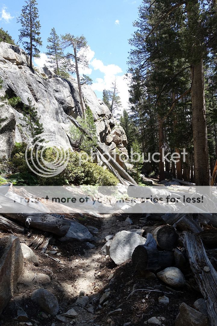
The second segment – easy trails meet complex off-trail navigation


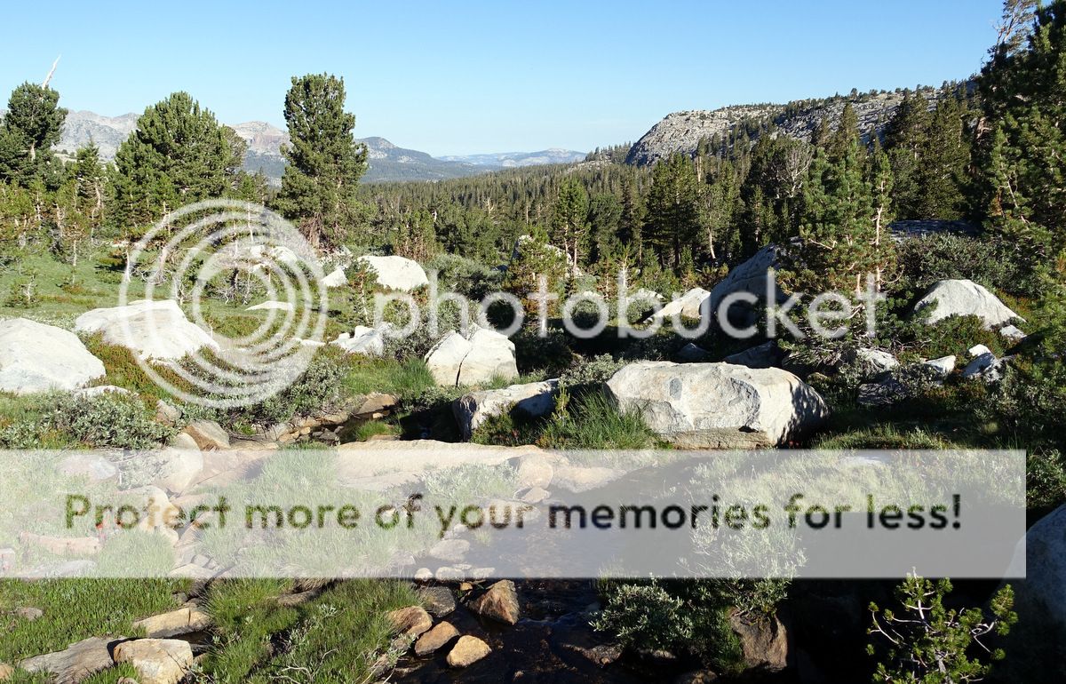
More food has been taken and I have wallowed for two days in Mammoth; enough. It is time to take the shuttle back up. Quite a few backpackers assembled at the bus stop – mostly JMTers. The ride is quite long up to Tuolumne Meadows and more circuitous than I’d imagined – and boy is it busy up here, especially in the campground which I pass through to gain the trail.

A pack trail – no sh*t, or rather loads of it. Briefly tussle with some competitive ‘men’ who don’t appear to want to let me get past them.


About three pack-trains come down; I sit and watch them pass from upwind (the best place to be).

Time passes easily enough on this relatively busy trail; still at a lower elevation so the heat builds quite quickly. I hit the broad expanse of the 9,992’ Tuolumne Pass where bickering city dwellers (hey, actually – I’m a city dweller) are en-route to the private camp up ahead; they are not happy bunnies.
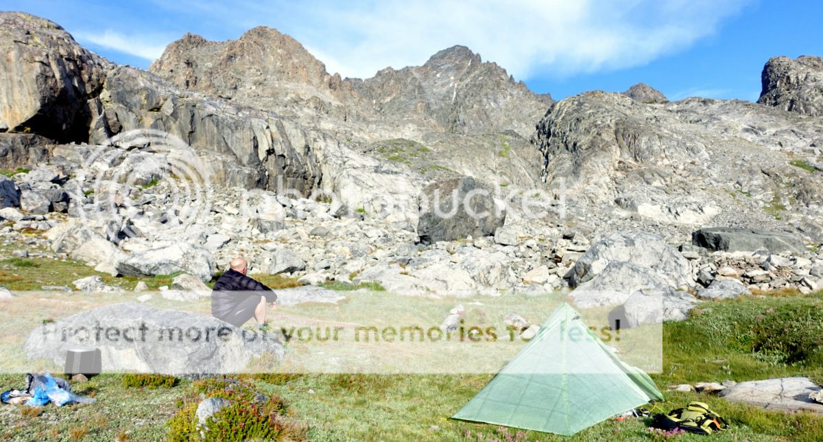
The Vogelsang Camp; a few of these are scattered through the Sierra, booked up many months ahead from what I can gather. Each to their own.


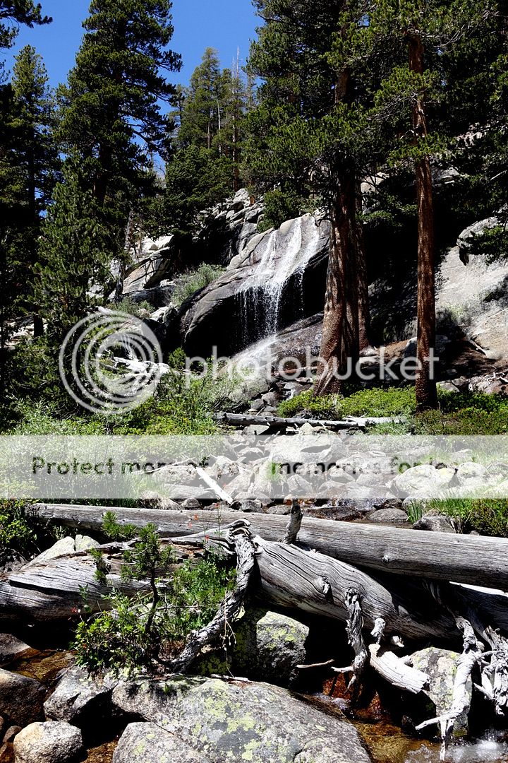
An easy climb and I arrive at Vogelsang Lake; I did not intend to stop, but hey it is pretty and I’m feeling lazy. Tent goes up.

Wash in a rocky area. Sit naked to dry off. Surprise some ‘city-dwellers’ as they walk up; that’ll cost them in therapy.

A kicked-back evening is spent eating a leisurely dinner on a rock bench overlooking the Yosemite Wilderness.
Early morning feet scatter well-camouflaged birds….spot the chicks too.


After the easy climb to Vogelsang Pass the trail drops down Lewis Creek for a long way; all really nice country.


Near a turn in my path I meet Richard, interesting fellow who is writing a book on John Muir; we chat awhile as a marmot attempts to steal my pack; perhaps they are in cahoots?


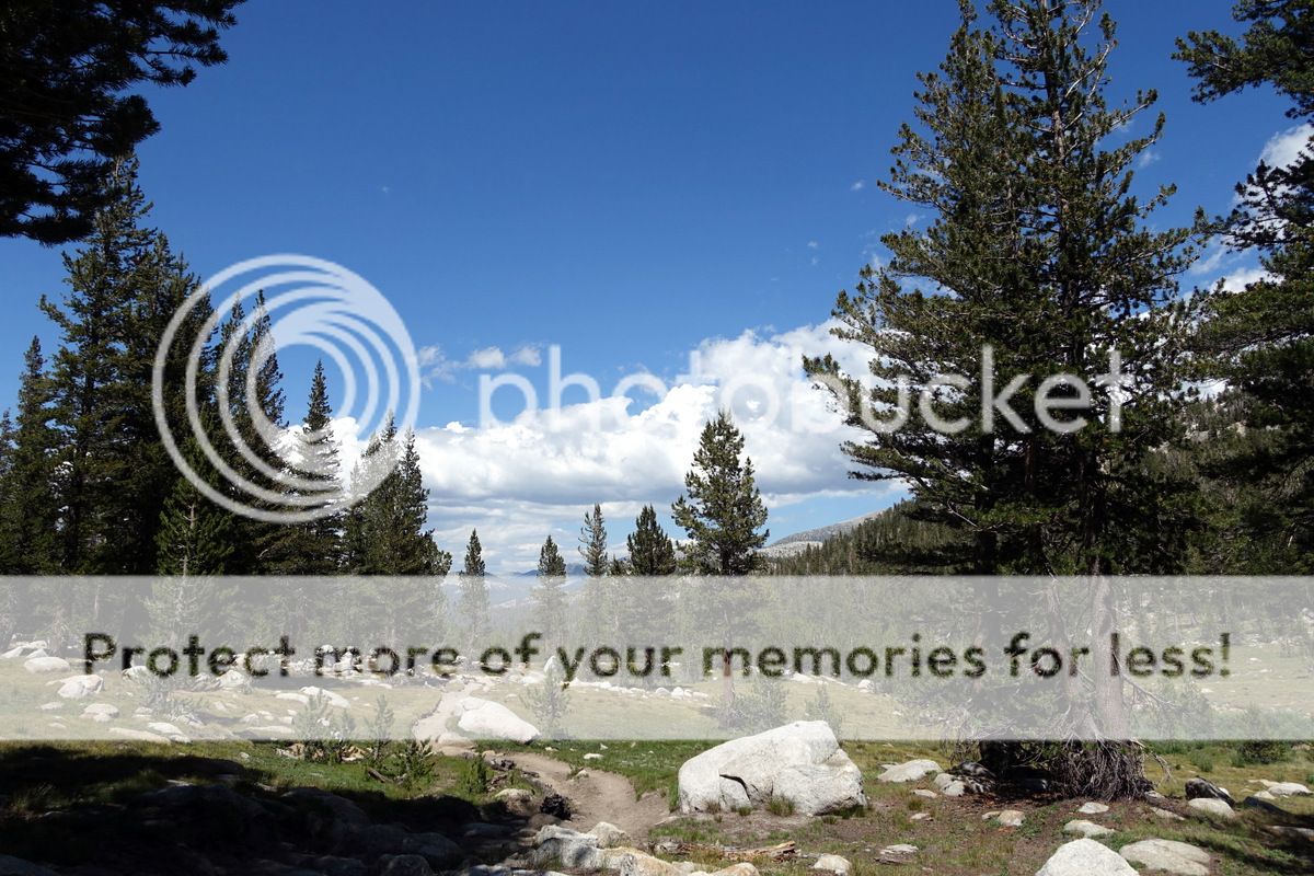
It is time to climb again on a trail that heads south to cross the Lyell Fork of the Merced River before leaving it for an easterly foray into the Ansell Adams Wilderness. Established trail but not used that much by the look of it?


The torpor is upon me and a snackette is in order.
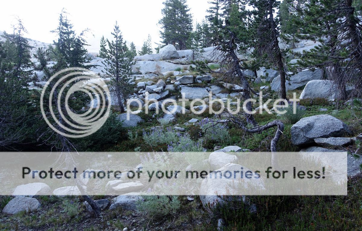
A very fine area of pristine granite slabs is reached next. I wonder how these would be when the spring melts are underway.


More self-love.

There are some great and a bit creepy forests to wander through here; I can again hear those duelling banjos. Leaving the trail up Foerster Creek is pleasant padding through the pines to check out a potential lakeside campsite. Turns out to be a marsh so a less des-res is achieved.

The first few mosquitos of the trip are buzzing about; they are easily slain.
Hmmm…


After a dead-to-the-world ten hours one creaks into ‘action’ – albeit rather slow action through rocky benches where it is hard to settle into a rhythm or find a good line.
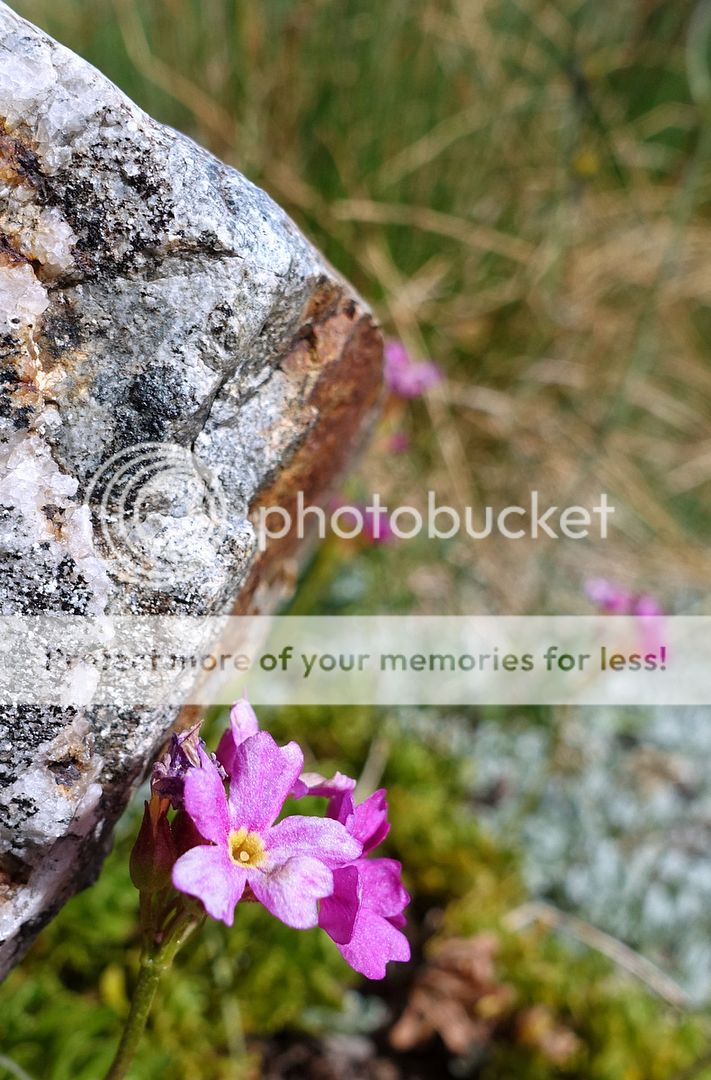
And I shoot too high as am not looking at the map – but as this decants me onto a high upland plateau riven with small lakes and many flowers I am hardly vexed.


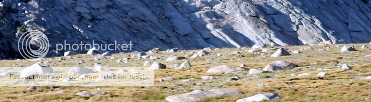
Even better as I surmount a rise two coyotes run off – not the best picture in the world, but a 70mm zoom can only do so much. I feel lucky to have espied them (one blurry critter in this picture; far left)

But all flatness comes to an end and the headwall that leads up to Blue Lake Pass much be breached. Easy Class 2 the way I go, along ramps to join talus and a final scramble over the escarpment.


Knackered as usual as I’m at about 10,400’ here. Blue lake Pass in the background (I hope it is Blue Lake Pass!).


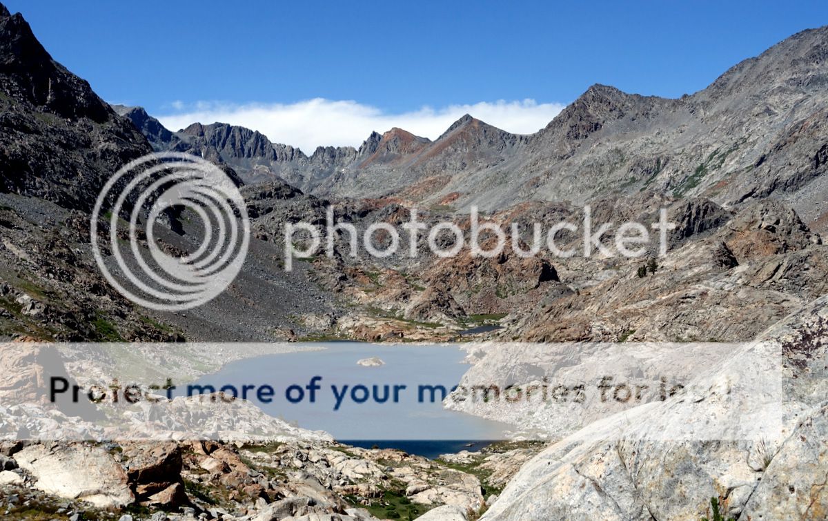
Not Blue Lake – a mere puddle on the way up to the pass.

The real deal down below.

I choose a series of ramps to get down to the water after sitting at the pass drinking it all in for quite a while. Better descents probably exist as I had to down-climb a bit of Class 3 here.


It would have been oh-so-good to have camped here or in the fine Bench Canyon that runs down from the pass; but sadly it is way too early and I’m not the best at sitting around.


As it is an idyllic picnic (OK, a Clif bar) is taken while the river rushes by.

I’d like to have kept going down Bench Canyon as it was really great walking – perhaps one day I will do just that. But for now some complex route-finding is required to get over North Glacier Pass.

Roper is pretty-much spot on around here – but I should have read him more attentively.


A fellow wandered reassures me that water levels are low between a couple of lakes I have been a tad concerned about.


I’m too high here; tiresome and tiring. Once I am down by that lake I look back to see I could have descended here; but at the time prudence and life seemed like better options.


On the right lines as I drop through frankly amazing scenery and rockscapes to the Twin Island Lakes.
Somehow the little group of trees on a rock wall ahead needs to be gained.

But first there is the inlet between the lakes to consider – repute has it to be chest high at times; I’m a poor swimmer. Low-snow years mean I can step across it with dry feet. Nice.


The rising traverse to the clump of trees is reasonably easy to navigate, which is a surprise.


And once through the small coppice the path climbs into more open rocky meadows.

The pass is still a long way ahead and tiredness envelops; so stopping early seems good.

That is not the pass – although I was sort of hoping it was. Oh no, it’s a lot further than I think.

This will be quite a day out.
Cold and grey up fine slabs and a little talus to lakes and glacier remnants.


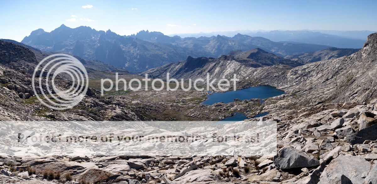
The way seems a little unlikely and a number of false passes are gazed at before shallow lakes lead to the sizeable Lake Catherine at 11,000’ and then the 11,190’ North Glacier Pass.

It is early yet.
Mount Ritter.


Note to self - don’t step on old snow this early in the morning. You might (if a complete idiot) slip and snap a pole. As if. Who’d be that stupid?

Looking back to North Glacier Pass.

Once clear of the talus it is a romp down past quite a few people coming the other way to Thousand Island Lake.


While it would be nice to rest on one’s laurels – brushing aside the stinging ignominy of breaking a pole - the day is relatively young and I want to be out and eating something nice someone else has cooked with a bed to look forward to the next day. Not exactly ‘call of the wild’ but an attractive proposition.
So a south-easterly traverse to an un-named pass, a drop into the Garnet Lake basin and a climb to Whitebark pass are the ordure of the day.


Nydiver Lakes.

Mounts Ritter and Banner; both relatively easy ticks I hear.


A longish contour with the compass to hand leads to a tiring descent then steep climb - too steep as once again I overshoot the drainage from the Iceberg Lake.

The shores of Cecile Lake.
While it looks like you could descend without climbing further West Roper mentions a Class 3 down climb to access Minaret Lake. It at first looks like death on a stick until it is realised that an easier groove exists a few feet away; fair enough and quite short.

I’m thinking I could make it out to the Devils Postpile this evening….and with more effort that I was willing to expend it might have been done. Settling for a pleasant evening’s camp in the sun is a fine alternative; there is even 3G.


It is still dark when I leave my bivvy and then I am sailing along through the quiet dawn with five miles to go down to the trailhead. An hour and a half later I am there.


Once again the fleshpots of Mammoth (perhaps this should be Mammon) are not to be resisted…


IPA 395….where are you now when I need you?

And Cherry Garcia?
Life in the UK can be damned hard I tell you.

New poles for old.

The suspicious-looking powder is a performance enhancer; maltodextrin.


