I don't think it is too difficult to extrapolate snow at higher elevations when you have reliable rain and temp data. I mostly care about 8000-12,000 feet, so doing some crude temperature loss math based on elevation and maybe add a few degrees to round this towards a conservative estimate, then search for old news items if available, photos, just to support the data.
Add in the reliable snow data from Mammoth, which at least will tell us if there was snow in the snowiest part of the Sierra in a given month, and work through the recent years. A crude summary of this can probably be obtained in a few hours. Doesn't have to be scientifically accurate, as the Sierra is a big place and if it snows in Mammoth it doesn't always snow in Sequoia anyway, but it would be a gauge for when in the year these events happen.
And it can actually snow at all times of the year, just those snows usually don't last very long and pose much less of a risk for a hiker to get stuck in the backcountry. Snow in early September would still be a 1-2 day travel problem at the most, while October may mean the stuff stays on the ground, especially if one storm is followed by a second in close succession.
I updated my post on the first page with a lot more data collected yesterday by poking around on the NOAA snow site, mostly with data from mammoth, but also comparing to Devil's Postpile and a station at Bench Lake in Kings Canyon, which reports surprisingly complete data, but just like the others only back to 2002.
For kicks, this was July 24, 2014, and most of that was gone after the sun broke through for an hour later that morning.
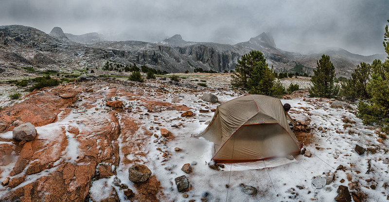 Below Forester Pass camp after the storm

