Member descriptions, photos, and map locations of Cross Country Passes in the High Sierra. This forum is for information only - discussions should be kept in the appropriate categories. This forum is a component of the HST Map. We need your help to complete the database, so please contribute!
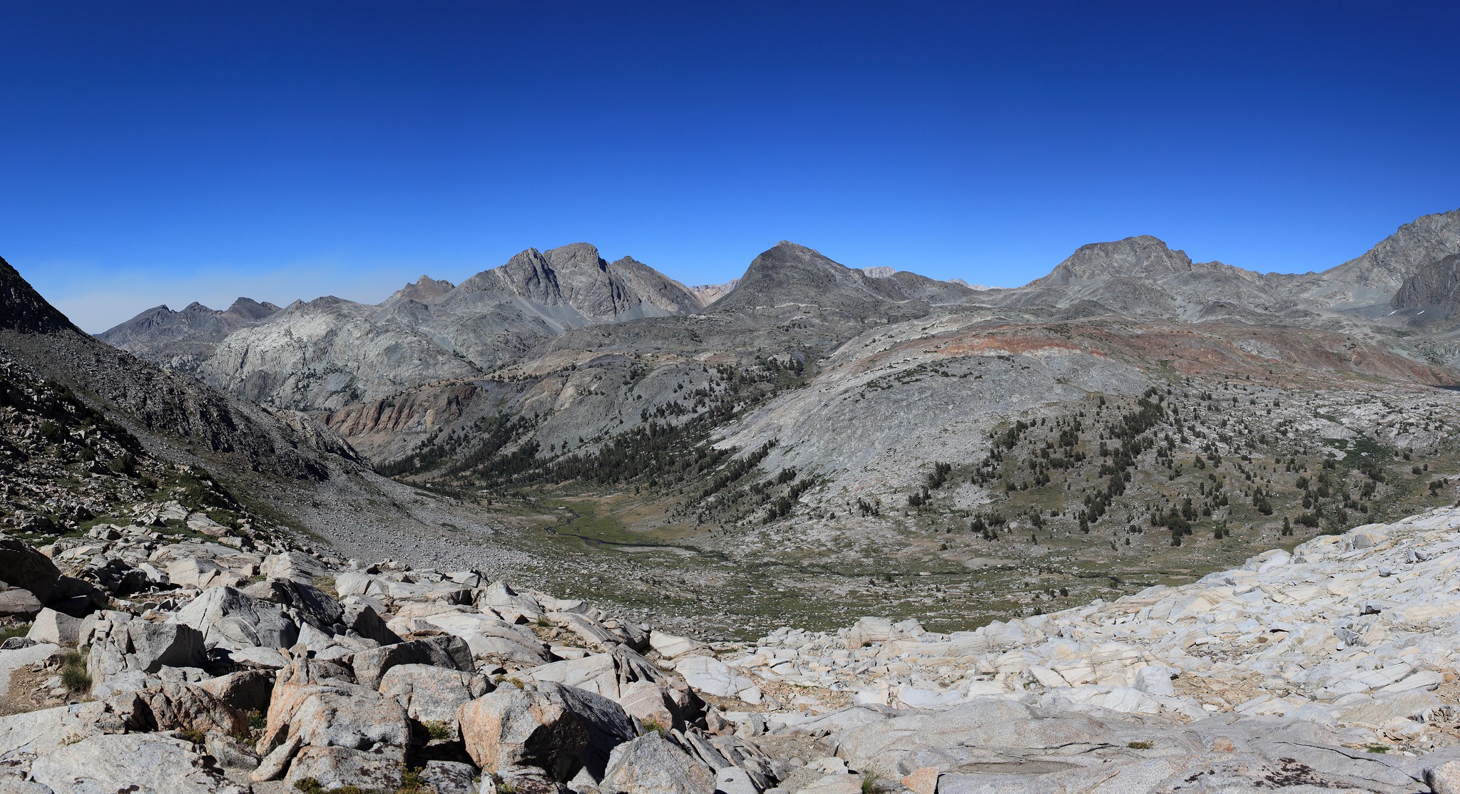
GENERAL OVERVIEW: This Pass crosses between Goddard Canyon and Blackcap Basin crossing Lake Confusion.
CLASS/DIFFICULTY: Class 2
LOCATION: On the border of Kings Canyon National Park and Sierra National Forest at Lake Confusion . HST Map
ELEVATION: 11,400
USGS TOPO MAP (7.5'): Blackcap Mountain
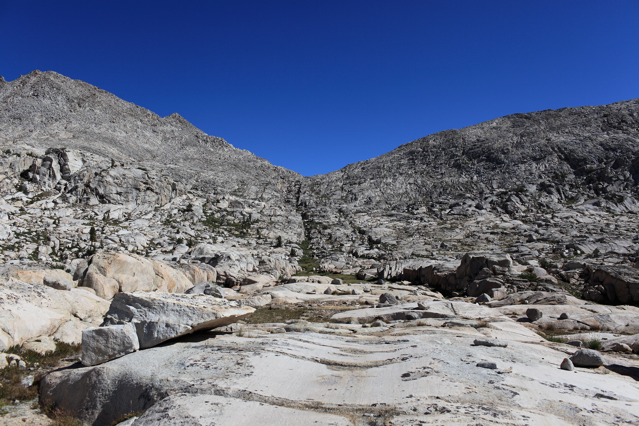
ROUTE DESCRIPTION: I have not climbed to Lake Confusion from Goddard Canyon so my knowledge of this pass starts from there.
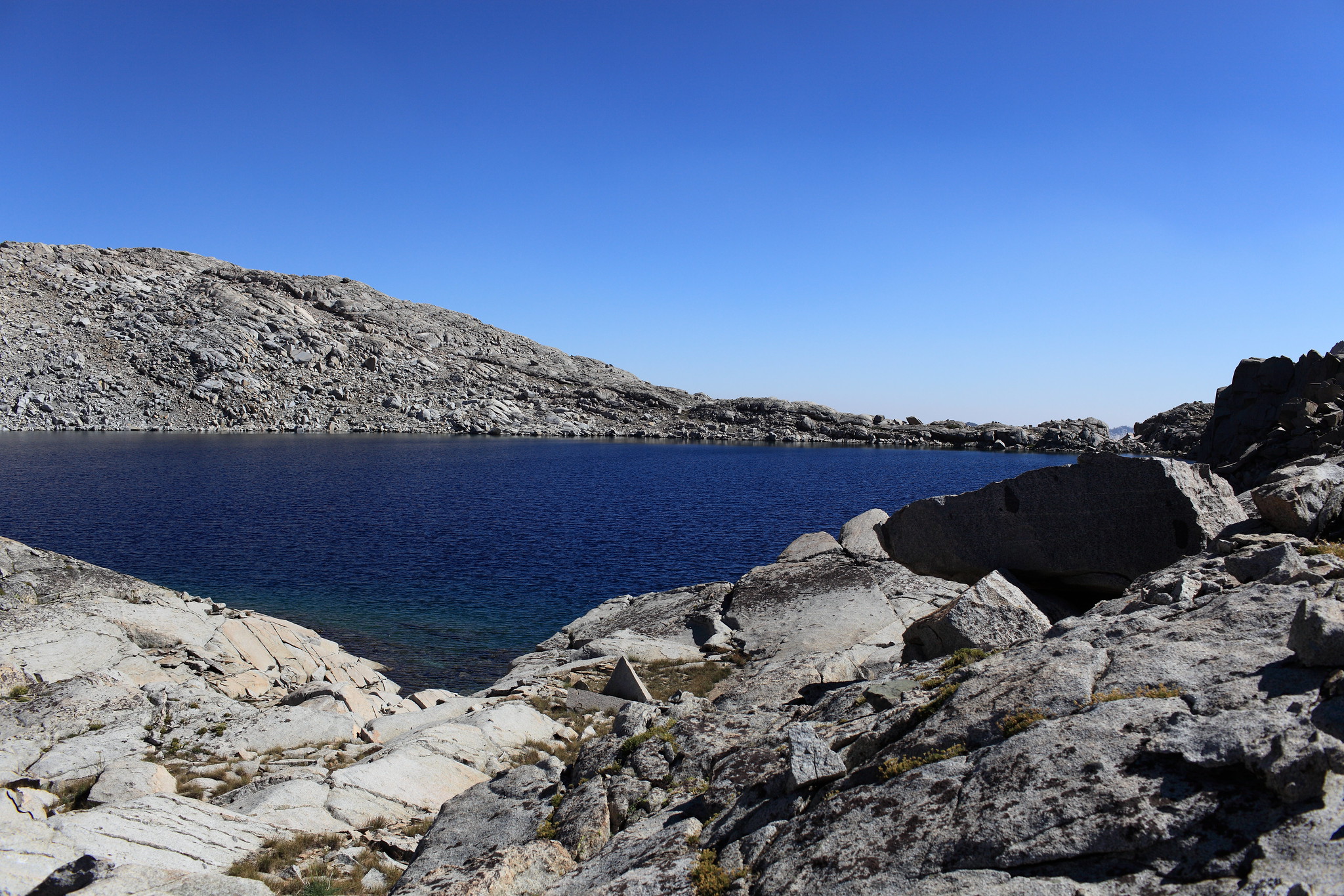
Crossing the Northern shore of Lake Confusion is not easier but it's more direct. There is one small cliff where you cannot stay at shore level but has a nice option for climbing up and over it. The rest is talus hoping. When you reach the outlet of the lake if you go a bit to the right you can pick up a grass ramp heading down. I briefly took what could be considered the primary drainage which is a deeper cut in the terrain until I climbed out of it onto the North side and maintained going down here on mixed slabs. This is all quite easy other than when I was getting close to Rainbow Lake I had a bit of difficulty getting off of this area. So as you move down keep an eye out for an easy way down.
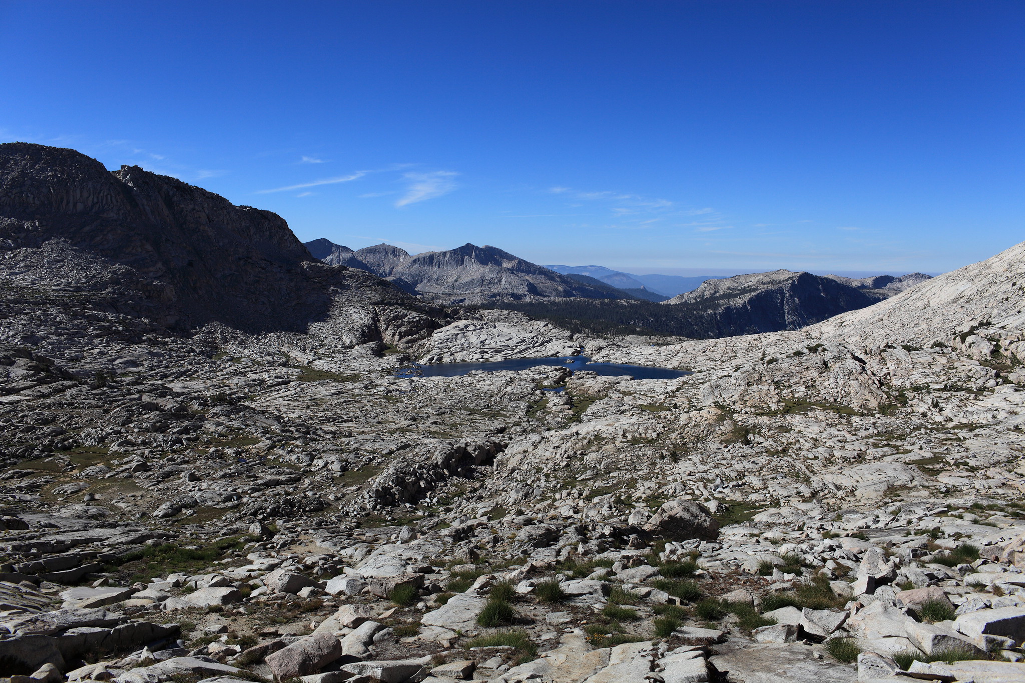
This is an alternate route that works quite well if you are heading north anyway. There is a ledge system at about the same elevation as Confusion Lake. You can traverse on this ledge until you are well north of the rocks and cliffs. The descent is then down steep game trails on vegetated slopes, with a bit of talus near the bottom. Whether this kind of terrain is "easier" than the direct route, as Rogue has shown, depends on your comfort on rock vs steep dirt/vegetation slopes. Not saying that it is better, just another way to go.
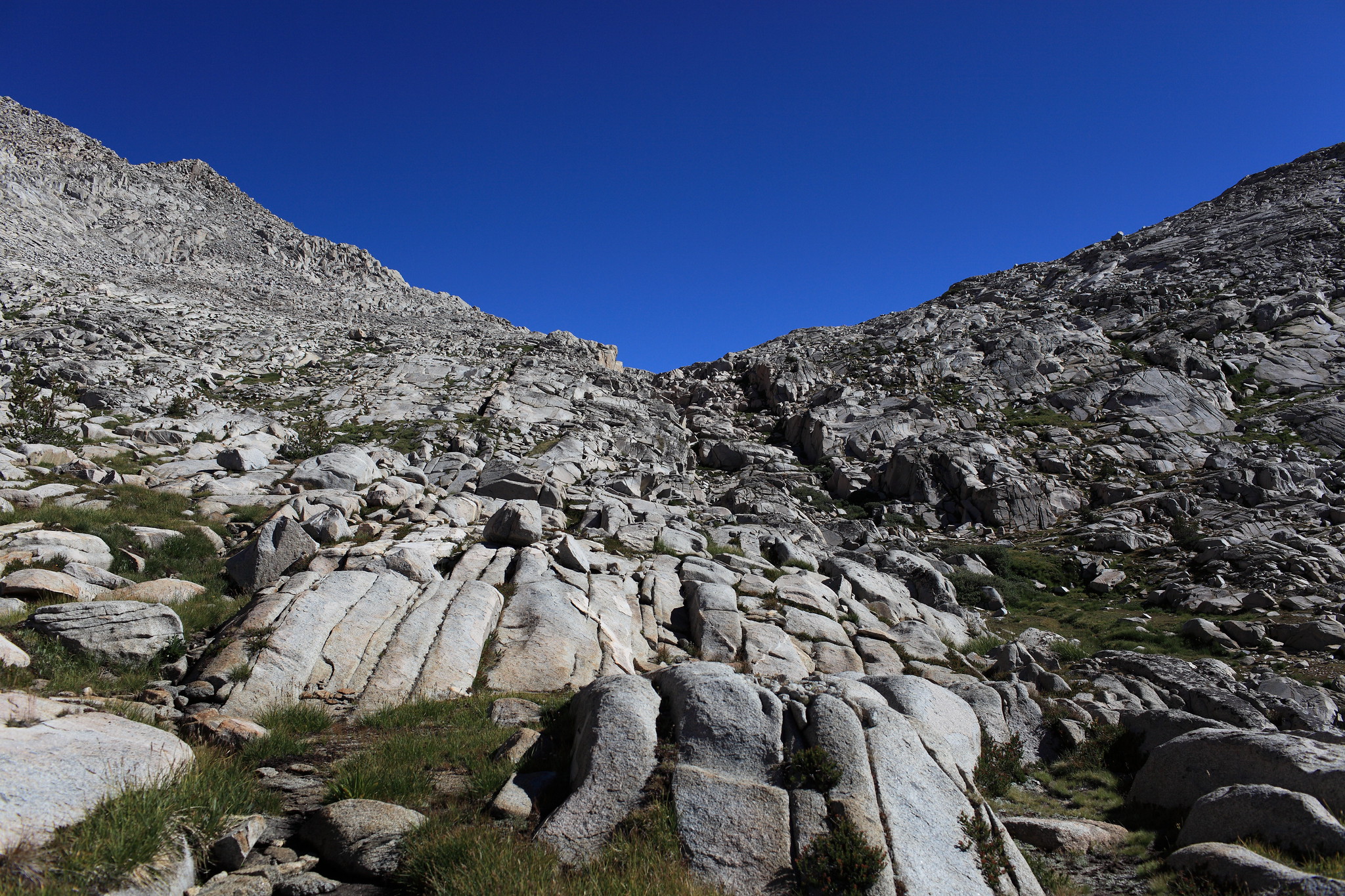
I took a half dozen people over Confusion Pass in 1980 and then 2 over in 2002? Both times we were on our way to Martha Lake to base camp. Most groups follow the outlet creek to the northwest however the topo shows 2 steep 40 foot lines doing so. I've looked up at it from the river at center valley and much preferred the way we went that also eliminates having to climb up some getting to Martha. Instead we went a half mile south southeast where the topo lines are more gradual. There is one short steeper slab section one needs to route find. Down below is some large talus to maneuver through that is the tradeoff.


![[rimg]http://i249.photobucket.com/albums/gg23 ... 20Pass.jpg[/rimg]](http://s249.photobucket.com/user/npallister/media/Confusion%20Pass.jpg.html)