It was a warm and cloudless day as we started out from Lodgepole. At Silliman creek we met a couple finishing their lunch on the way to Little Lakes. We followed Silliman Creek up, the trail is OK for a couple miles, until we found a nice lunch spot.
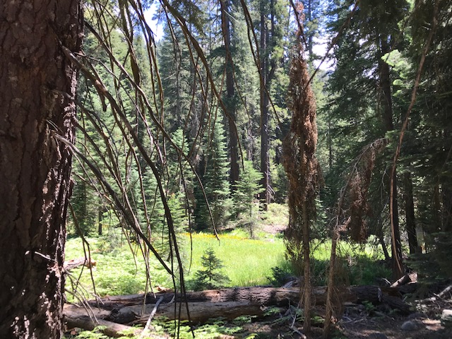
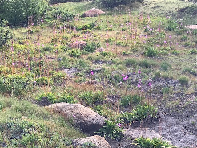
Silliman Meadow is just off the trail.
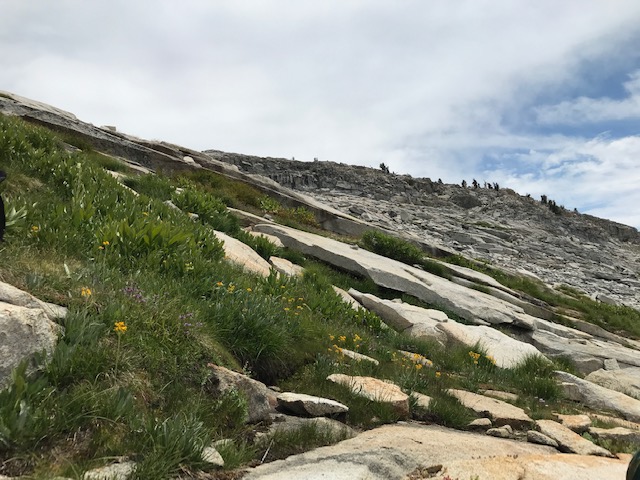
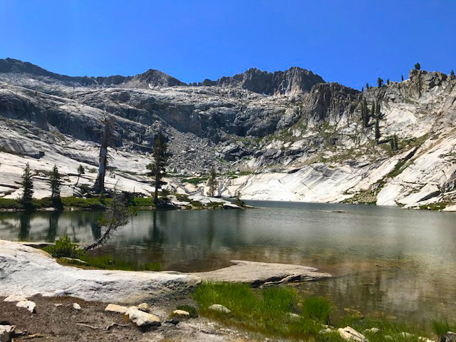
Soon we were on the "slabs" below Silliman Lake. The trail has pretty much disappeared, but you know where the lake is. The slabs are very steep and put quite a strain on our leg muscles. We had a few sprinkles on the slabs, but it didn't last long enough for me to get my pack cover on.
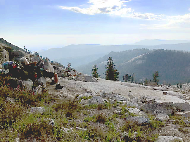
The next morning Ranger Austin L. came to our camp. He had written out our permit on the phone a week earlier, and had wanted to see Mt.Silliman this week.
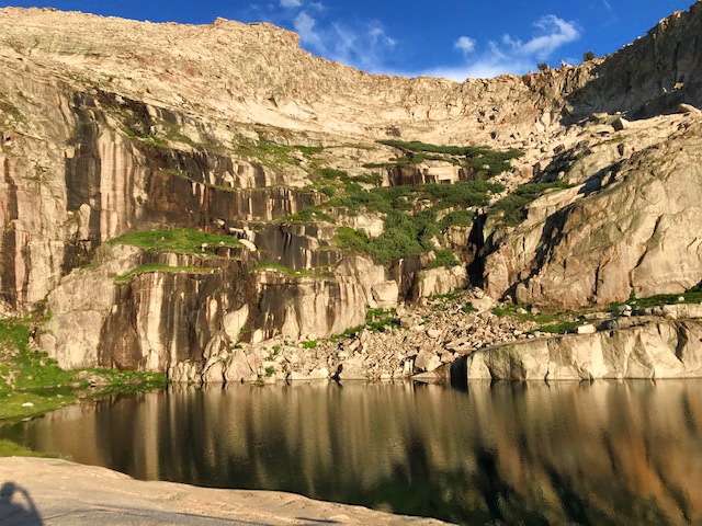
We started up the rocky slope to the higher Silliman Lake, and then on to the low place on the ridge, just south of the last clump of trees.

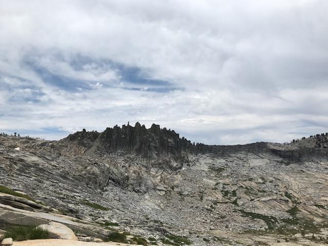
On the ridge you can look over to the east, the ridge is nearly knife edged in places with a few narrow chutes down to the broad talus slope and then steep slabs.

Looking west on Google earth shows 4 distinct chutes coming from the talus up to the crest of the ridge. But from the top only 3 are apparent.
I looked down the most northerly, and it looked too steep for us. My brother looked at the next one and told me it smelled of pee. We checked out the 3rd chute and it seemed OK.
There is a steep scree ramp about 15 feet long from the flat on the ridge down to a large block in the center of the top of the chute. The whole chute is about 8 feet wide at the top and narrows down a bit before it gets to the talus. Below the scree and initial block there is a shaft, with many hand and foot holds, about 10 vertical feet. Below that is 30 or so feet of steep rough climbing down through small loose talus.
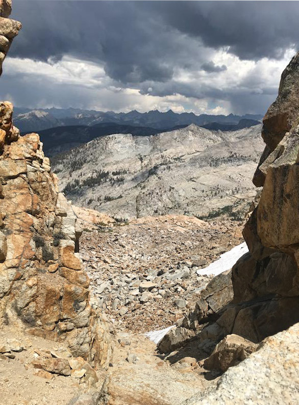
You can see it's already raining over Deadman canyon.
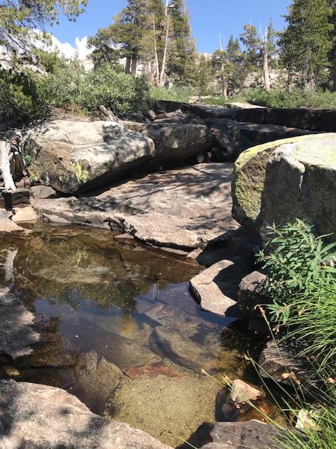
We dropped down, loosing a few rocks on the way, but made it down to the lower snow field. We had agreed to have lunch at the small green grassy swale at the foot of the talus. There was a pond and we rinsed off and let our knees stop vibrating. TehipiteTom suggested "Crescent Col" as a name for that pass, I'd just add a better name might be motherf***ing Crescent Col.
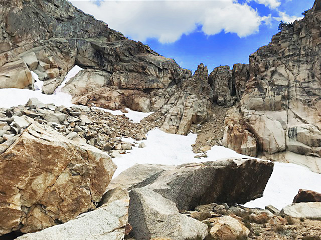
We were aiming for Crescent Lake, just about due east, but terrain kept us moving further north. After just a few minutes on slabs it started to hail. Small hard bbs of hail that really stung. We got our pack covers and ponchos on and the storm really got going. Still on steep slabs we were amazed at how sticky our boots were on the wet granite. The storm and trying to descend safely and easily were distractions that shoved us further north. By the time the storm had let up and the sun was peeking through the clouds we were just above the ponds north of Crescent Lake.
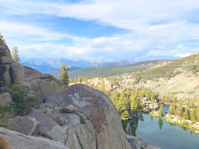
We camped at the outlet end of the lowest pond.

