
https://jimmyjamhikingclub.wordpress.co ... cier-pass/
https://jimmyjamhikingclub.wordpress.co ... klin-pass/
https://jimmyjamhikingclub.wordpress.co ... ll-canyon/
But it's pretty long so let me summarize here.
First, there were zero mosquitoes anywhere from 7800 to 11800 feet. I love late Spring in the Sierra!
Snow levels were generally 10,500 feet on north facing slopes and 11,500 feet on south facing slopes (I'll be more specific below). Patchy snow on north facing slopes down to 10,000 feet.
I took hiking crampons but never used them. It was above freezing everywhere the whole trip and I hit the passes in the afternoons so I never encountered icy conditions.
I took an ice axe and I did use it on Glacier Pass. I also used it on Franklin Pass (but that's my fault -- more below).
Columbine, Cyclamen, Spring, Upper Little Five and Upper Big Five Lake are still frozen over. All other Little Five and Big Five Lakes, Little Claire Lake, and Forester Lake are open.
Stream crossings are not dangerous -- nowhere more than knee high, and most of the time there is a way to stay dry.
Okay, some specifics.
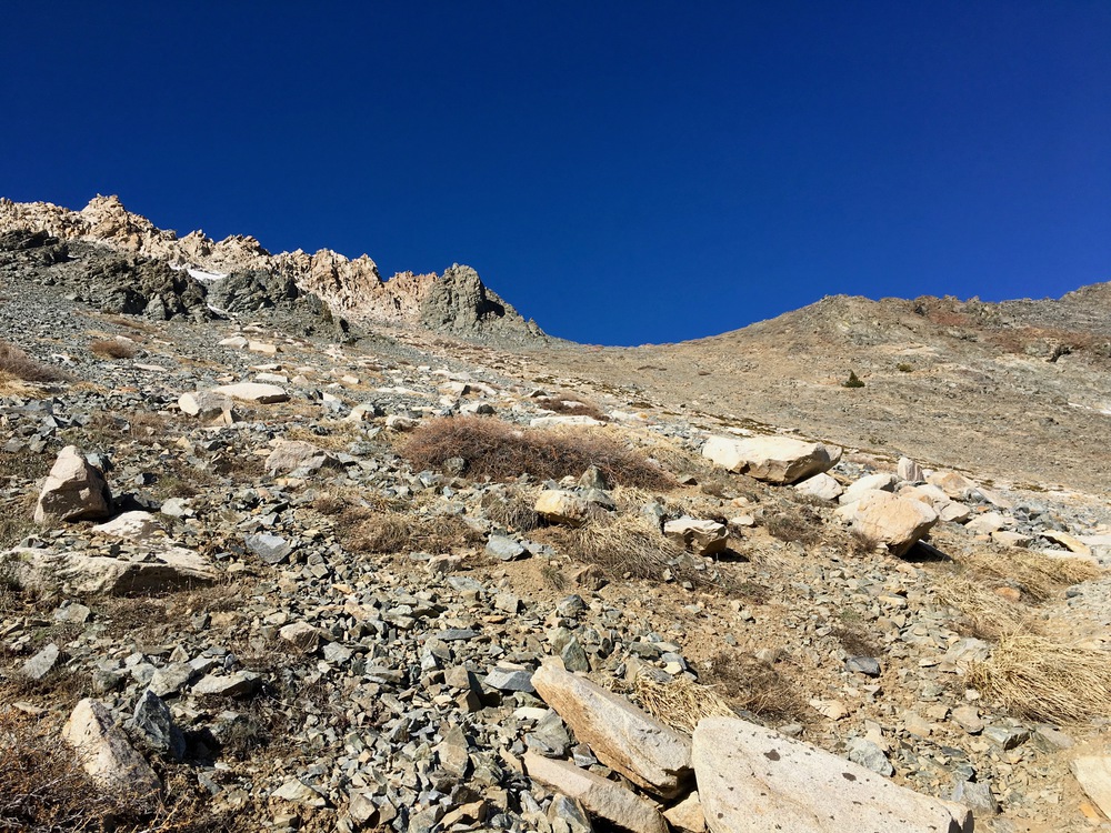
Day 1: I did the cross-country route from Sawtooth Pass Trail at 8757 up to Glacier Pass, with a small excursion on the historic Monarch Lakes Trail. Easy Peasy, just one tiny snow field to cross that may already have melted by now:
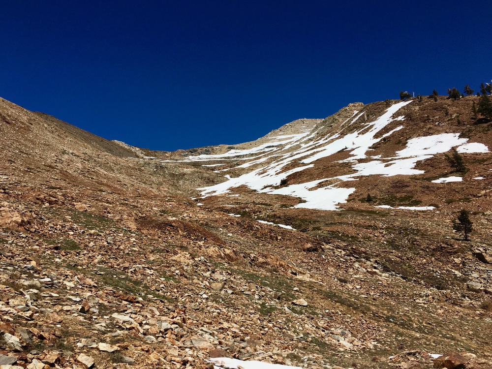
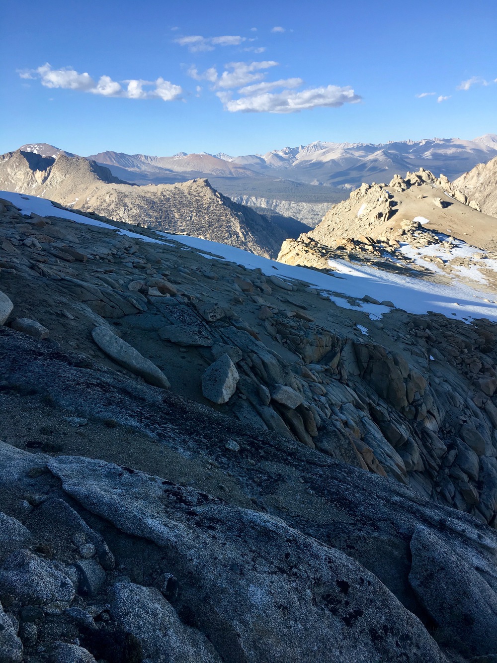
South Side of Glacier Pass
From my route I had a great view of the Sawtooth Pass Trail to Monarch Lake, which has substantial snow starting at 10,000 feet:
Sawtooth Pass Trail is the faint line running across the snowfields about 40% from the top of the picture
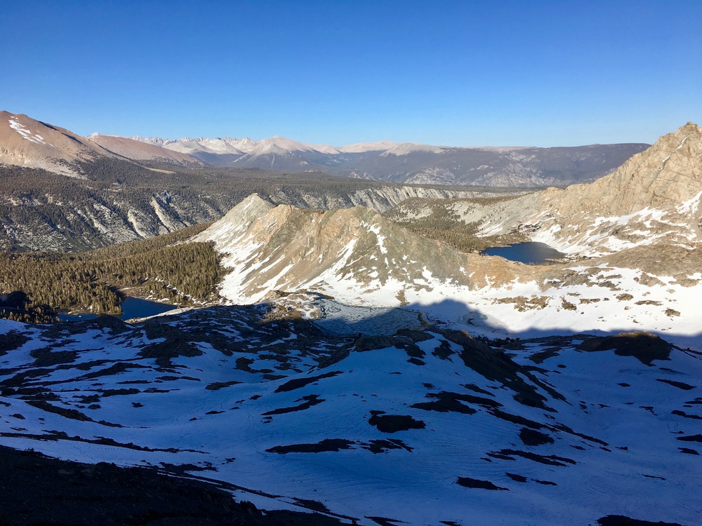
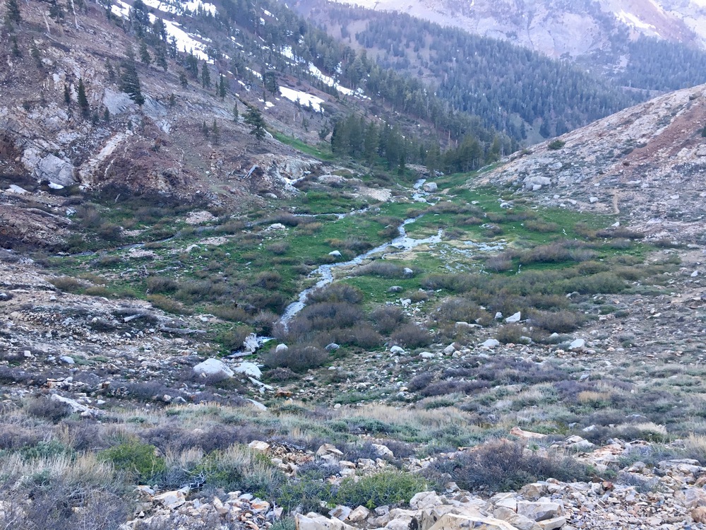
North side of Glacier Pass is full snow down to 10,500 and partial snow down to Spring Lake:
North side of Glacier Pass
View of snowy north side of Glacier Pass toward a dry south side of Black Rock Pass
Spring Lake
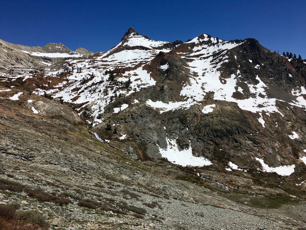
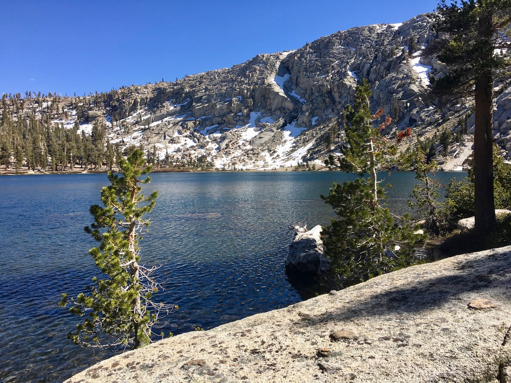
Then up a dry south side and down a snowy north side of Black Rock Pass to Little Five Lake 10476:
South side of Black Rock Pass
Columbine, Cyclamen, Spring Lakes from Black Rock Pass
North side of Black Rock Pass
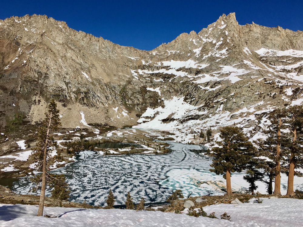
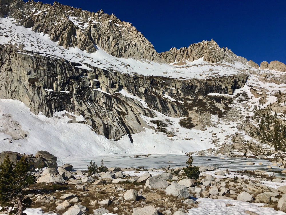
View of snowy north side of Black Rock Pass towards frozen Upper Little Five Lake.
Day 2: Explored Little Five and Big Five Lakes. Snow (and an avalanche!) at Uppermost Big Five Lake:
Uppermost Big Five Lake
Big Five Lake 10260
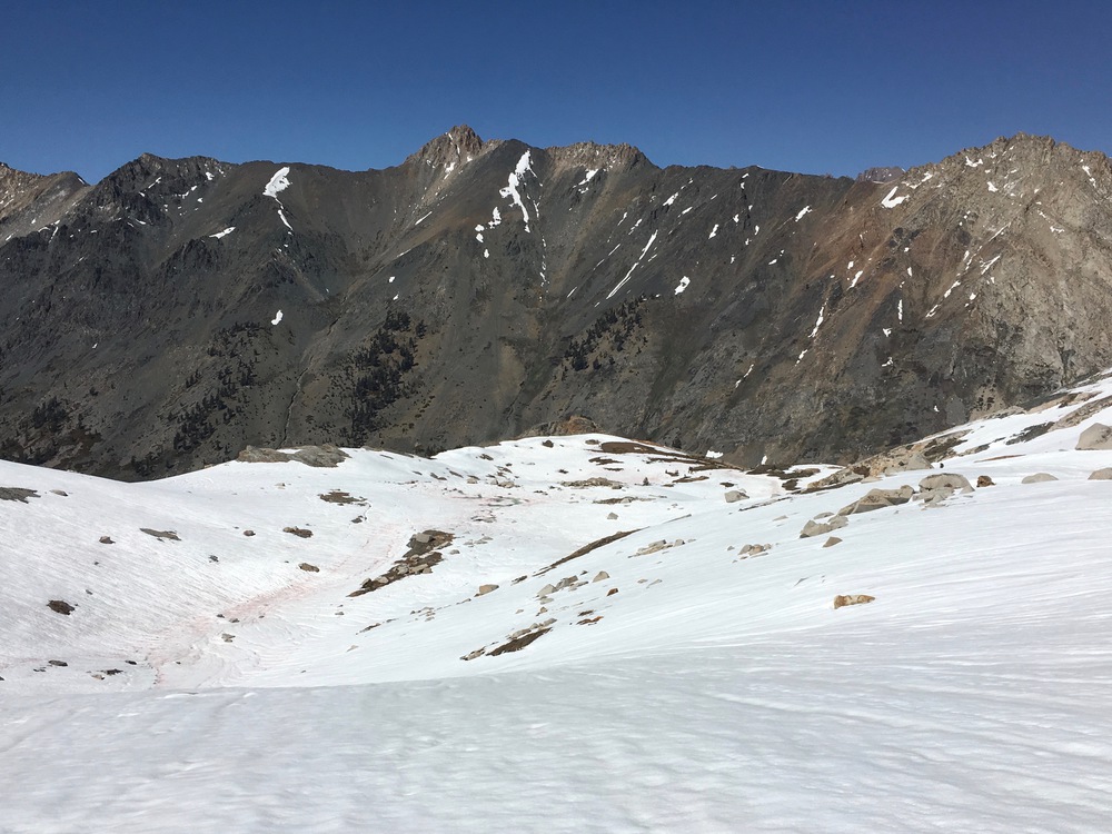
Rest of the day was snow free down to Lost Canyon, and up Soda Creek until the switchbacks up to Little Claire Lake. There was occasional snow on the switchbacks, but nothing that couldn't be avoided:
Occasional snow on switchbacks up to Little Claire Lake
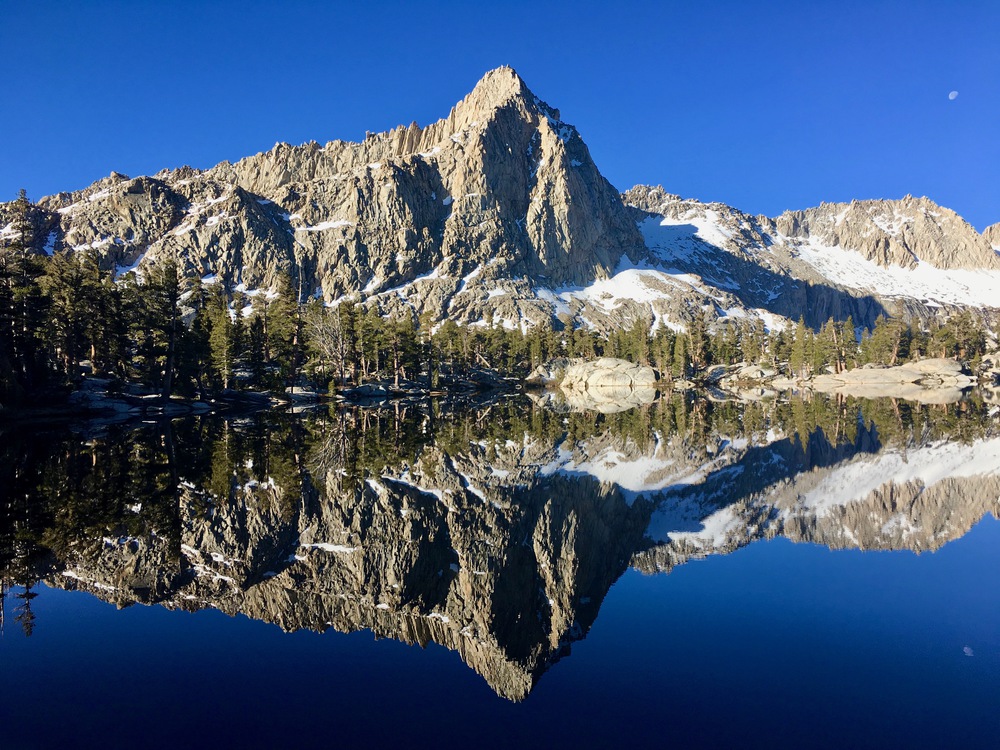
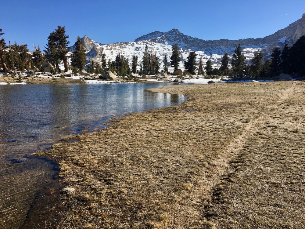
Snow-free Little Claire Lake
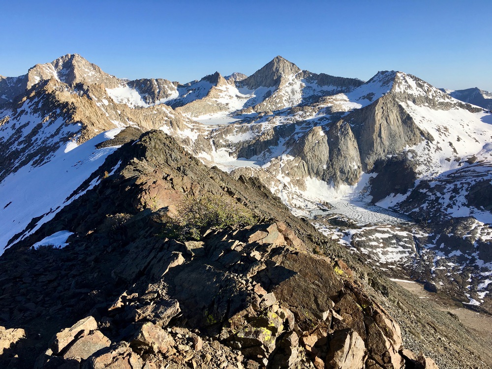
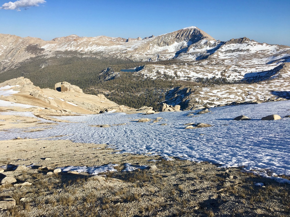
I discovered (by accident) the spectacular ridge walk and above Little Claire Lake and the trail through the sandy meadow that leads to the Franklin Pass Trail at 10,600 feet. Beautiful and efficient!
Sandy meadow at 10,800 feet above Rattlesnake Canyon
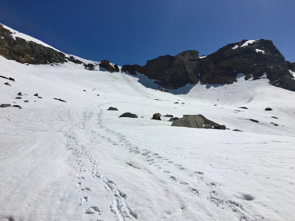
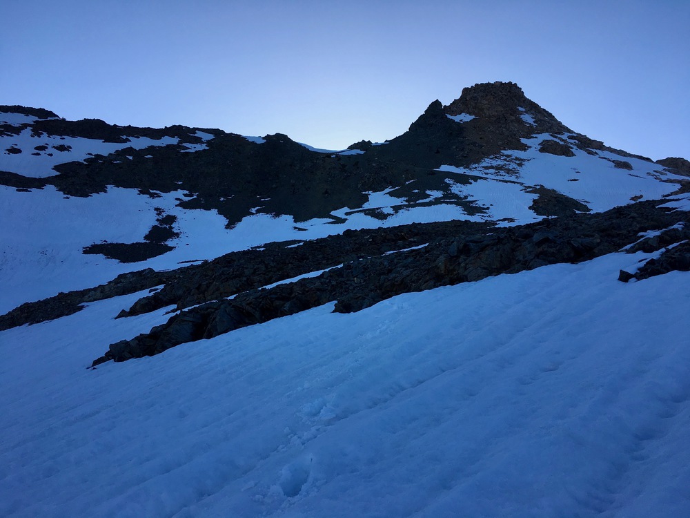
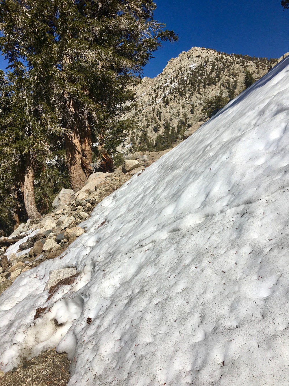
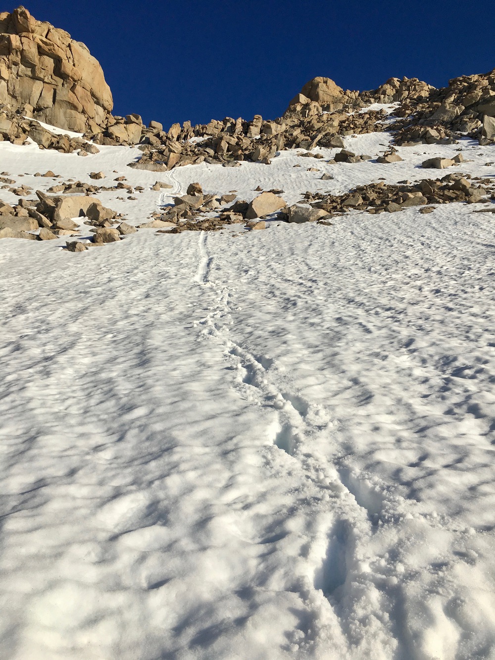
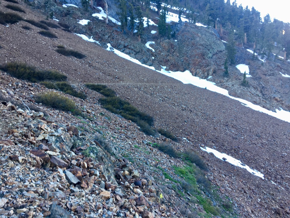
No snow up towards Franklin Pass until about 11,500 feet, but then the snow fields were either avoidable or shallow and on slopes that were not too steep. No traction needed.
Snowfields below Franklin Pass
Then I got lost trying to follow the USGS coordinates for the trail over the pass which say to turn south at 11,800 feet. I should have followed the satellite image of the actual trail which turns above 11,900 feet. That would have put me on the west side of the steep rocky ridge at the top instead of the east side. My mistake cost me an hour worth of class 3 climbing at the 11,800 foot level and then dropping down to the 11,600 foot level before putting me at the physical Franklin Pass. From there I did controlled slides and class 3 down climbs until the tarn above lower Franklin Lake where I returned to the trail. I have indicate the difference between the path I took and the actual trail on this caltopo map:
https://caltopo.com/m/FH1H
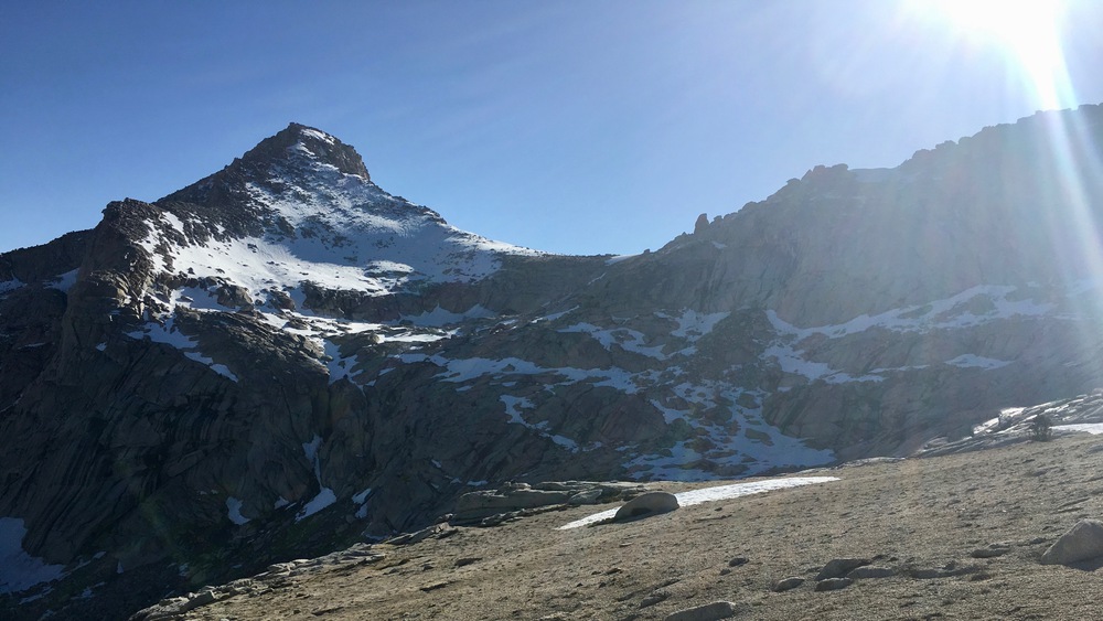
View towards Franklin Pass
View back towards incorrect turning point at 11,800 feet (I should have kept going left up the sandy slope)
View of my improvised route down from physical Franklin Pass
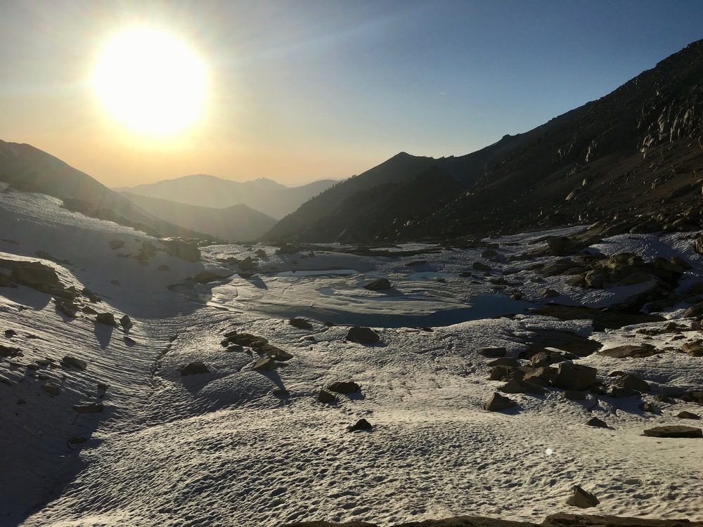
Tarn above Franklin Lake
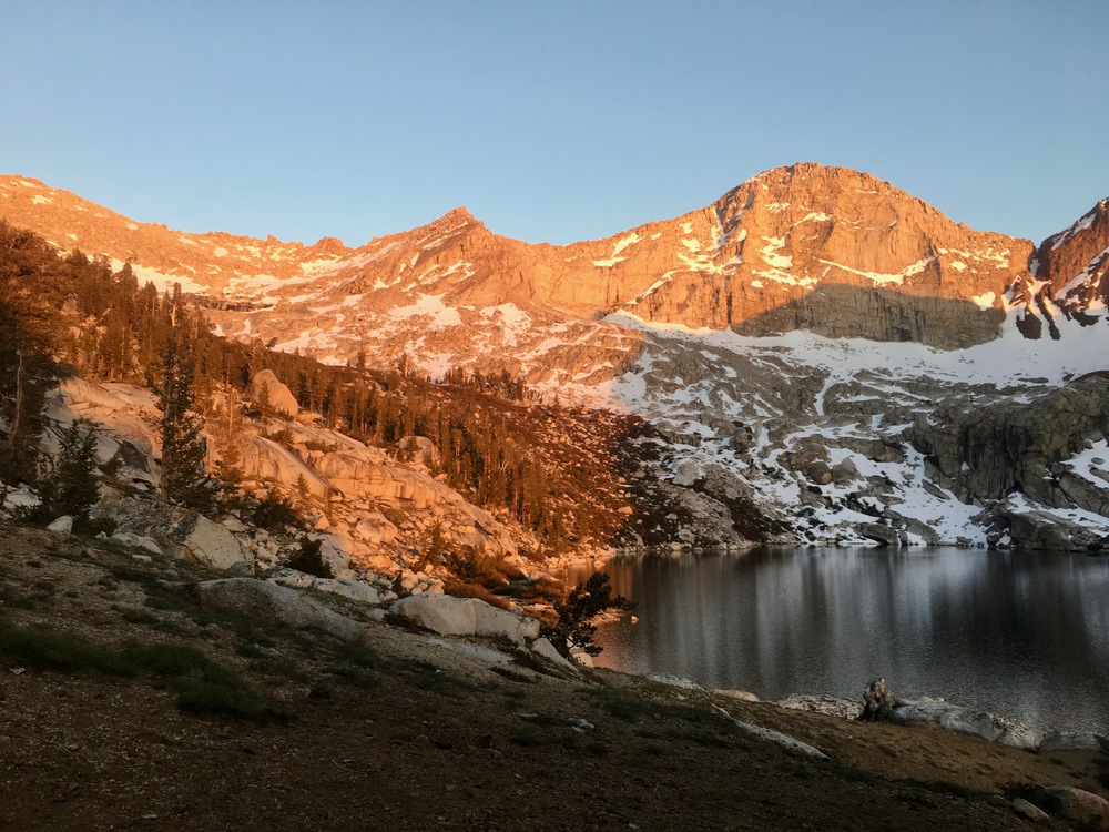
View of Franklin Pass from Lower Franklin Lake where I camped
Day 3: Easy Peasy down Farewell Canyon - snow free except for two small fields on the trail after it crosses over at the meadow at 10,000 feet
Franklin Creek meadow at 10,000 feet
Snow field at 9,900 feet
And that's it! I didn't post any pictures of stream crossings here (some are on my blog) because they were all pretty trivial (and believe me, I know how to back away -- I missed going to Redwood Meadow Grove in April because I didn't like the Granite Creek crossing).
It's going to be a great June this year so get out there! And please feel free to ask me questions!


