OK, here's my chart recording my actual mileage waypoints, elevation gain/loss and time:
https://docs.google.com/spreadsheets/d/ ... kl7fs/edit
A quick look will reveal, as expected, that trail times fall around the 2-2.5 mph zone, but off-trail x-country drops to around 1/2 to 1/3 of those numbers. What this tells me is that I can multiply (difficult) x-country by a factor of around 2-3 to get an approximate trip estimate in terms of time planning, energy staging (ie hard day/easy day), etc. In other words, taking almost 8 hours to go 7 miles on the SHR was roughly equivalent - energy/time wise - as hiking 9 hours to go 18-19 miles on the Isberg trail.
OK, general impressions:
1. Follow Roper's route instructions. For this section of the SHR, there is (IMO) only one good route, and it's the one he describes. It's a convoluted area without any real open areas that provide multiple options. You should thoroughly acquaint yourself with the book, carefully study topos, and record micro-paths on your maps.
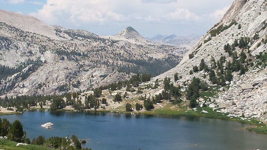
Looking across the valley from Catherine that SHR route follows:

2. Each general .25-.5-1 mile waypoint actually consists of many, many slight variations in gain/loss, traverses, contours, etc. Pay attention to his general recommendations:
- climb down the class III waterfall (below Catherine) on the north side. I considered Rocky's route when I was looking at the horseshoe cliff, but kept walking along the north ridge until there was slight crevasse at around 60+ degrees with hand & foot holds;
- getting to the "Tree Grove" is actually pretty easy. There isn't a use trail per se, but there is evidence of foot traffic in the scree. It looks worse on a map, but is actually very straightforward.
- getting from the Tree Grove to the lower Twin island lake is hard. I went very slow trying to follow his route - it's not obvious at first, but it's there, just as Roper describes. If I was to recommend anything, I would probably suggest to just phone in the whole "don't lose elevation" business. That is, suck it up by dropping 300-500' or so, do the easy walk across the narrow canyon, then up climb to the Twin island lakes.
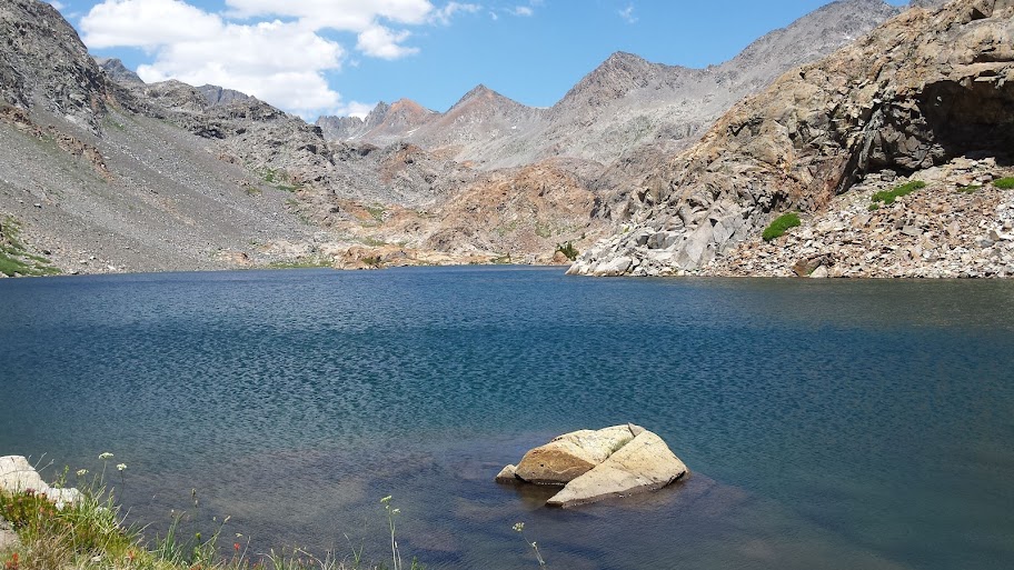
Lower Twin island lake - outlet is just to the right. The ford is a gigantic nothing-burger. Roper must be afraid of water, because he spends a lot of time (relatively speaking) on it. To me it was calf high, zero current - I liked finally getting a chance to get wet and cool down. I hung out here for an hour or so, taking a bath and laying around.
- the section between Twin island lakes and the oasis at the beginning of Bench canyon is hard. Not so much route finding, but again, talus, rock outcroppings, constant up and down can wear you down. Pay attention to what Roper suggests by staying at a constant 10.2k. Any lower, and you're in a steep, loose canyon with trees, any higher, and you're climbing a cliff. There's a narrow band that gets to the 10.2 tarn - you'll see it as you round the bend.
- from the tarn to Bench canyon, again, like Roper recommends, stay @ 10.2k by constantly orienting yourself to the SE knob outcropping. Any higher than the 10.3k knob you'll be climbing a cliff; any lower, and you'll be in a Grand canyon type of cliff wall situation.
- once you make it to the Bench canyon oasis, you're pretty much home free. I guess Bench canyon is named for all the easy open countryside strolling and benches. My type of hiking.
- your last obstacle is Blue lake pass. It looks formidable from upper Blue lake, but if you stay to the north of lake below Foerster, it's actually pretty straightforward. It has a bunch of talus gullies extending down to the lake that you may want to avoid. In my particular case, I followed the obvious drainage below Foerster, getting maybe 50'+ higher the pass and then contouring straight over 200 yards over (fairly) easy talus.
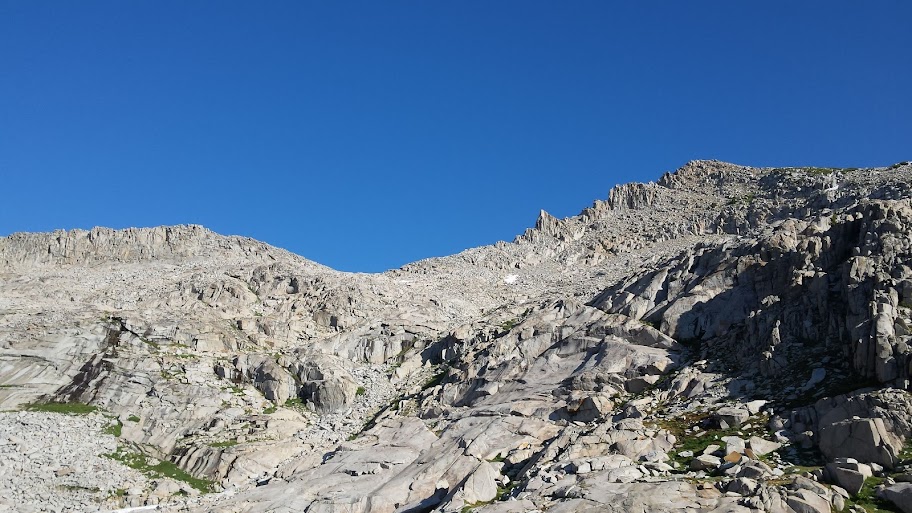
I followed an even more obvious drainage off to the right. The terrain below Foerster on the east side is straightforward. Study your topo and you will see.
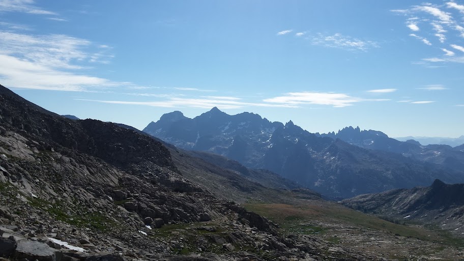
The view from Blue lake pass is pretty impressive. Here's Banner, Ritter & the Minarets from an angle few people see. Another photo didn't turn out so well, but I could clearly see Milestone, Langley, Whitney, Russell, Willy, Split, Arrow, Goddard, et al.
- when you get down to the plateau below Foerster but above Isberg, just make a line-of-sight beeline for the 11,210 knoll. Contour around the base, turn left and descend down to the trail. If you go too far north (maybe another 200+ yards), you'll know - it's a cliff. Turn too soon, cliff. Study your topo - the route is obvious on the map.
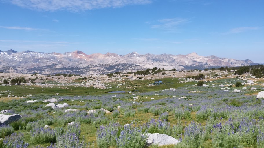
Field o' flowers on the plateau above the Isberg trail
- I really liked the Isberg trail - it's so lightly used it's almost like a well developed use trail. There's a little bit of poop just to let you know rangers & trail crews are out there, but not too much.
- I was pleasantly surprised by Vogelsang pass - very pretty. Not heavily trafficked since HSC hikers usually take the shorter route up/down to Merced.
Vogelsang lake coming down from the pass - the HSC is just out of sight. Still trying to talk my wife into doing this trip. Promises of easy 7 mile days, cooked meals and plenty of drinks/socializing to keep a city girl happy - maybe.