
Wade and Linda Christiansen and I undertook a 3-day outing to the Lamarck Creek drainage on the weekend of June 14-16, 2013. Our goals were two-fold. First was to explore the route to Lamarck Col for future expeditions to Darwin Canyon, Evolution Valley, and beyond. Second was to get Linda out on her first backpacking trip for the year. And of course a little R&R never hurts anyone!
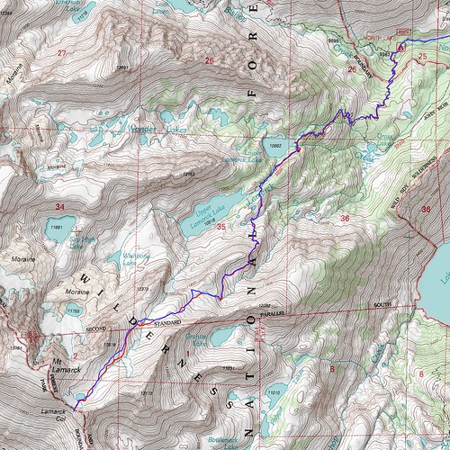
GPS Tracks, Red going uphill
We drove up from Ridgecrest Friday morning, so our start wasn't until early afternoon. We took our time getting to Lower Lamarck Lake, and decided to establish our base there. We found a campsite near the outlet of the lake, got unpacked, and then broke out the fishing gear. We caught many small brook trout and released all of them so that they could hopefully grow into older small brook trout.
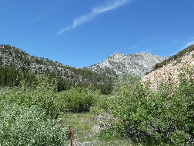
Hike area from hiker parking lot
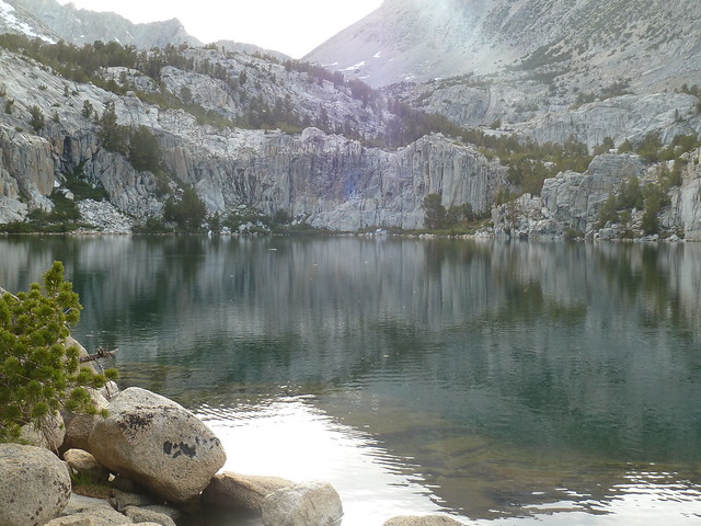
Lower Lamarck Lake from outlet
As we hiked to the lake we saw several day hikers, but at the lake it was just us and a small youth group that camped on the ledges above the north shore of the lake. There were mosquitoes around, but they seemed to be at the stage in their life-cycle where they are just a nuisance and weren't biting.
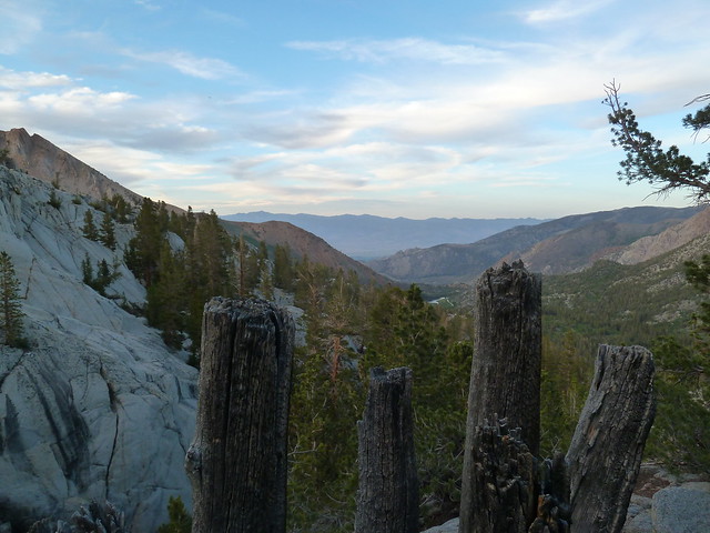
View down Bishop Creek drainage from campsites
Saturday morning we got up and packed food, water, and the 10 essentials into our packs and hit the trail for Lamarck Col.
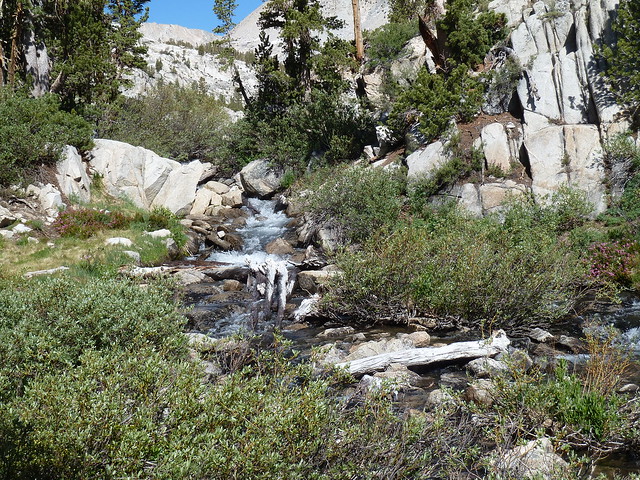
Water Source

Leaving Lower Lamarck Lake for the day
I had read several reports saying that the start of the route was sometimes difficult to find, but to me that didn't seem to be the case. The trail to Upper Lamarck Lake starts on the east side of Lamarck Creek and then crosses over to the west side for a short distance.
When the trail crosses back to the east side there is a fork in the trail. If you turn south along the creek you're continuing to Upper Lamarck Lake, but if you continue straight instead you've found the start of the Lamarck Col route. If we had been heading to Upper Lamarck Lake we probably would have missed the turn south and started on the Lamarck Col route instead. Instead of being hard to locate, the issue seemed to be when to know that we'd left the main trail and were on the Lamarck Col route.
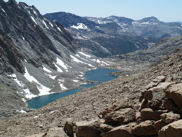
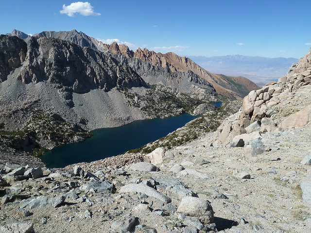
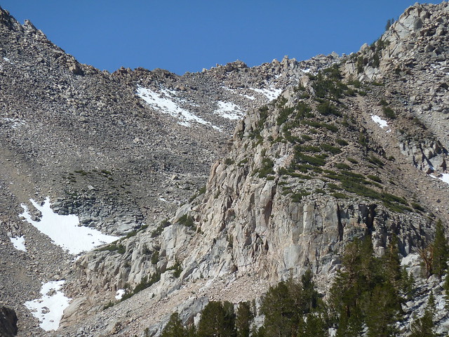
The route wraps around the east side of the low ridge east of Upper Lamarck Lake. After about .3 mile it starts a climb up switchbacks to get above the cliffs on the east side of a higher ridge. During this climb we had our first view of Upper Lamarck Lake.
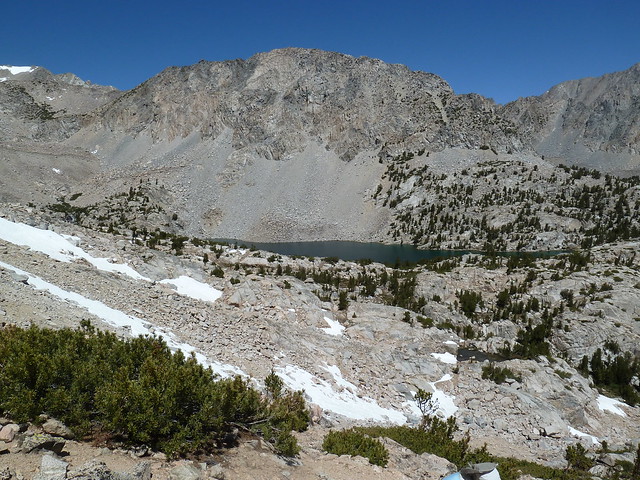
First view of Upper Lamarck Lake
After climbing the switchbacks the trail traversed along the ridge above the cliffs on its east side. At this point I realized that this was a constructed trail and not a tough cross-country route.

Quick break on trail above cliffs
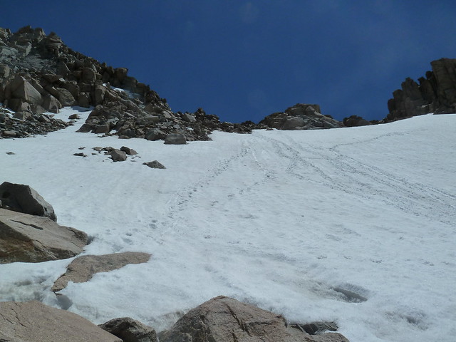
The trail is very easy to follow and is just a steady climb for most of the way. We encountered the first big snow crossing at about 11700 ft, and the snow was soft enough for easy crossing without any post-holing. Just below this crossing the snow melt draining from the snow field was the last running water we saw.
Approaching first snow crossing
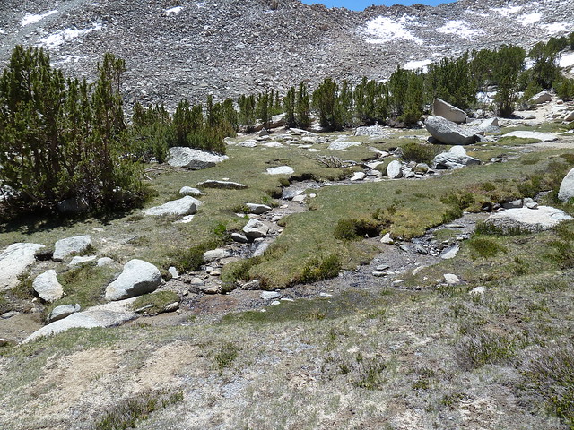
Last running water
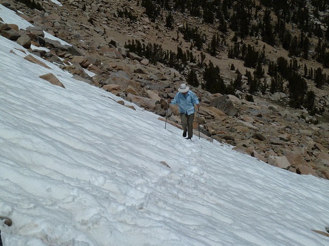
Linda crossing snow
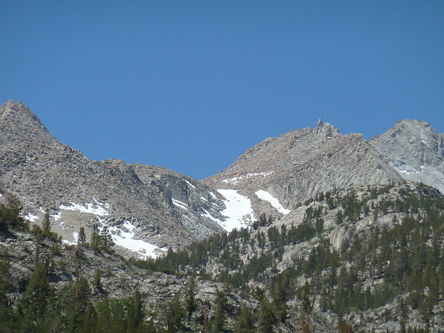
The last big snow field before the top of the col was in the draw starting at about 12200 ft, but this snowfield was easily bypassed.
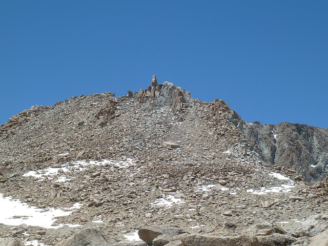
Easter Island transplant standing guard
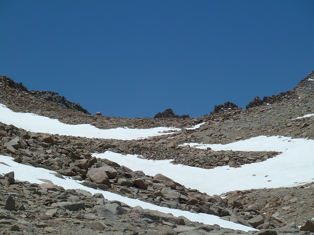
Last snowfield during hike, bypassed on right side
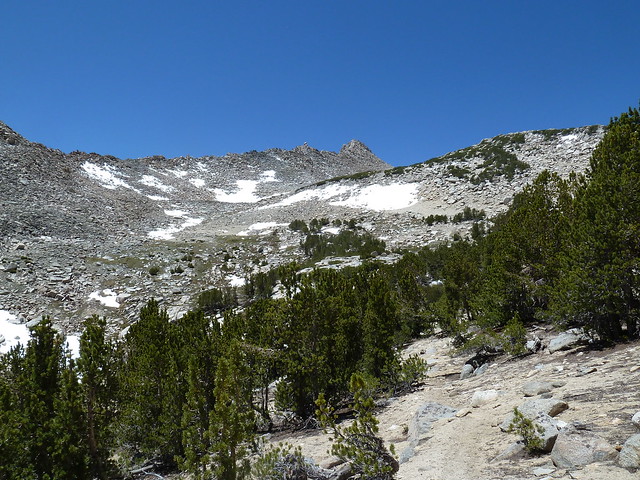
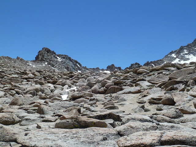
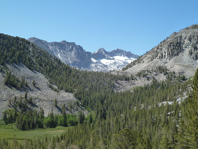
At this point we were finally beginning to see the Sierra Crest ridge line. The remainder of the hike was through boulders and sand and was very easy to navigate across. There seemed to be use trails everywhere.
Sierra Crest in view
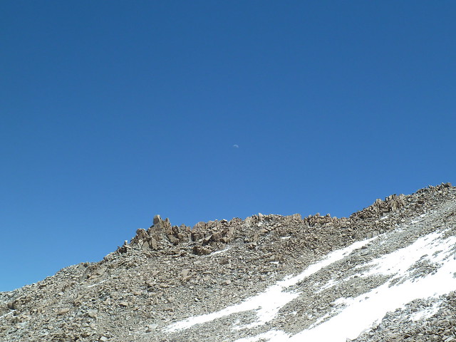
Waxing crescent rising in east
As we approached the col we saw a group coming down that had started at South Lake. They had come straight down from the col instead of traversing through the rock fields. After a short consultation we decided to go up following their path. It was an easy climb as the snow was mid-afternoon soft.
View up to Lamarck Col from lake below
Patience to make sure that you had good footing was the key, and everybody made it up without post-holing or slipping.
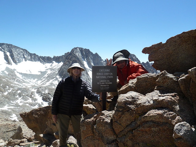
Linda and Wade at summit sign
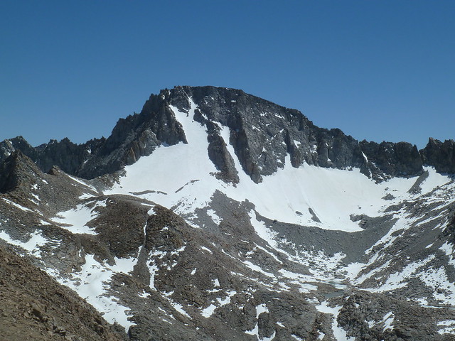
Mount Darwin and Darwin Glacier
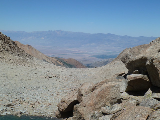
View down Darwin Canyon to Evolution Valley
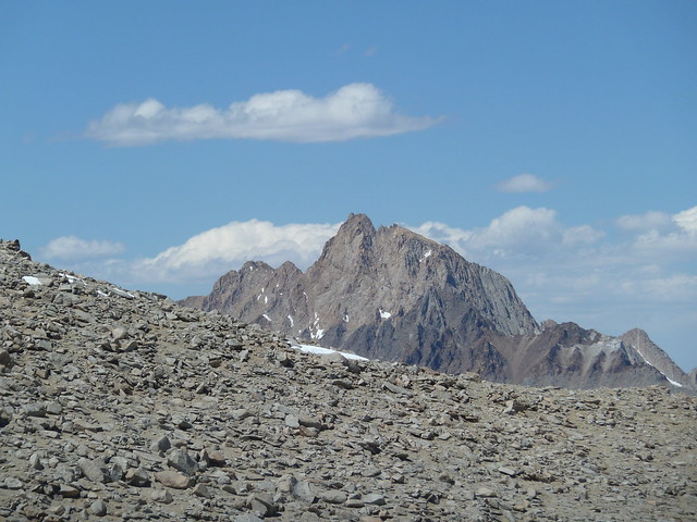
Mount Humphreys from Lamarck Col
Bishop from Lamarck Col
After spending some time at the col summit it was time to start back. We took the same route down, and again everybody made it without any issues.

Following Wade down, Linda already at bottom
At the lake below the col we took on water for the hike back. While there, Linda made a video panorama available at this link: http://flic.kr/p/eQjXfi" onclick="window.open(this.href);return false;
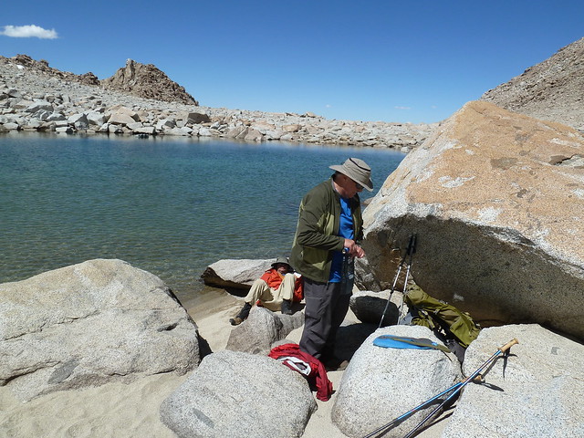
Watering up for hike back while Wade lounges on the warm sand
We basically traced the route back with a small side excursion to view the inlet end of Upper Lamarck Lake.
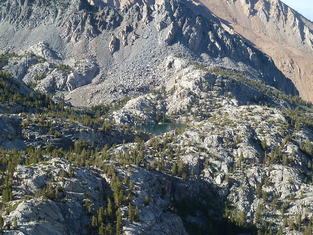
Upper and Lower Lamarck Lakes
Getting close to camp
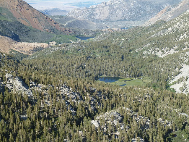
Grass Lake and North Lake from switchbacks on return hike
We got back to camp, did some quick rearranging, and settled down for a nice ending to a wonderful day in the Sierras.
On Sunday morning we hiked backed to the trailhead in time to get to Bishop for lunch, and this ultimately allowed me to get all the way back to San Diego at a reasonable hour (for once!)
Granite planter box near Lower Lamarck Lake
Looking back at switchbacks from yesterday's hike, visible climbing through scrub
View over ridge into Sabrina basin
Aspens = getting close to North Lake trail head
Last look back from hiker parking lot, our Easter Island transplant is still standing guard


