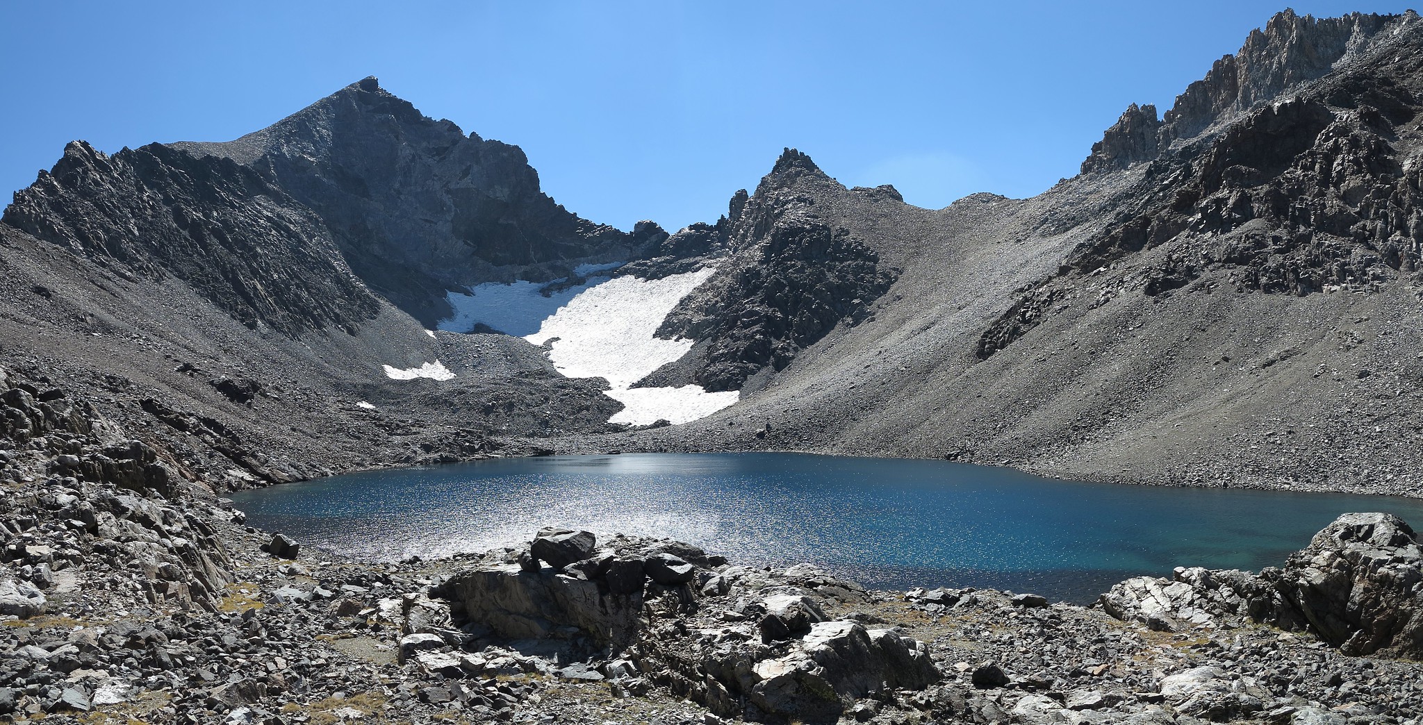
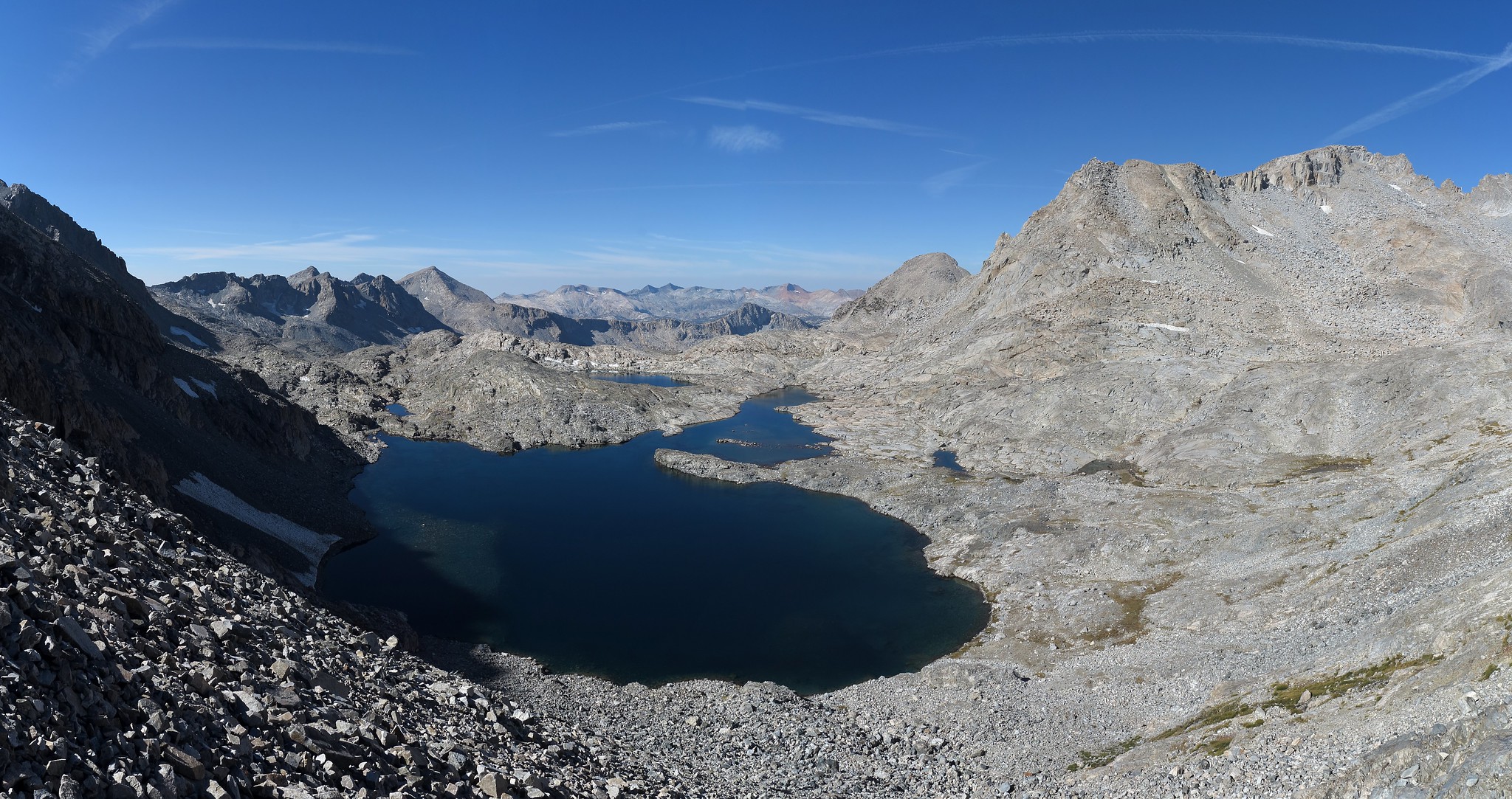
GENERAL OVERVIEW: This pass leads between the Upper Lyell Fork of the Merced River and the Marie Lakes of Ansel Adams Wilderness. This pass also is the boundary line of Yosemite National Park and Mono / Tuolumne Counties.
CLASS/DIFFICULTY: Class 2
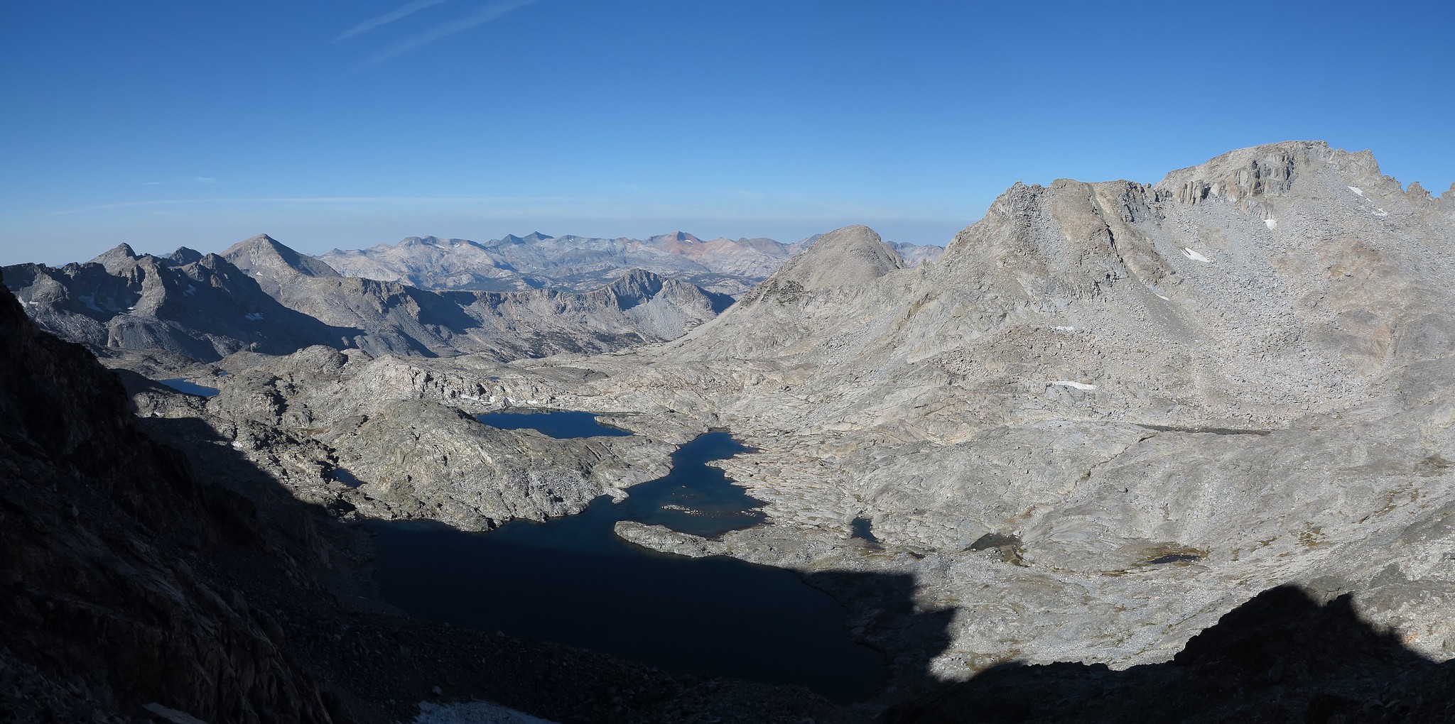
LOCATION: Between the South Easterm Cathedral Range and the North Western Ritter Range, North of Rodgers Peak, SE of Mt. Lyell, boardering Yosemite National Park and Ansel Adams Wilderness. HST Map
ELEVATION: 12,240
USGS TOPO MAP (7.5'): Mt. Lyell
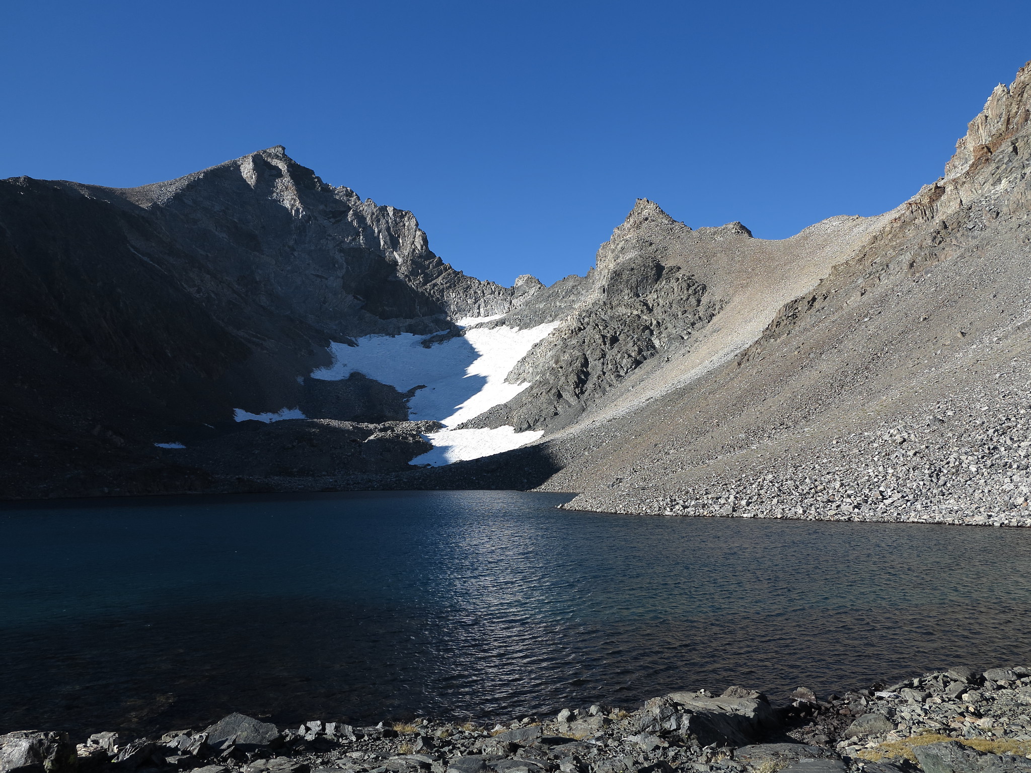
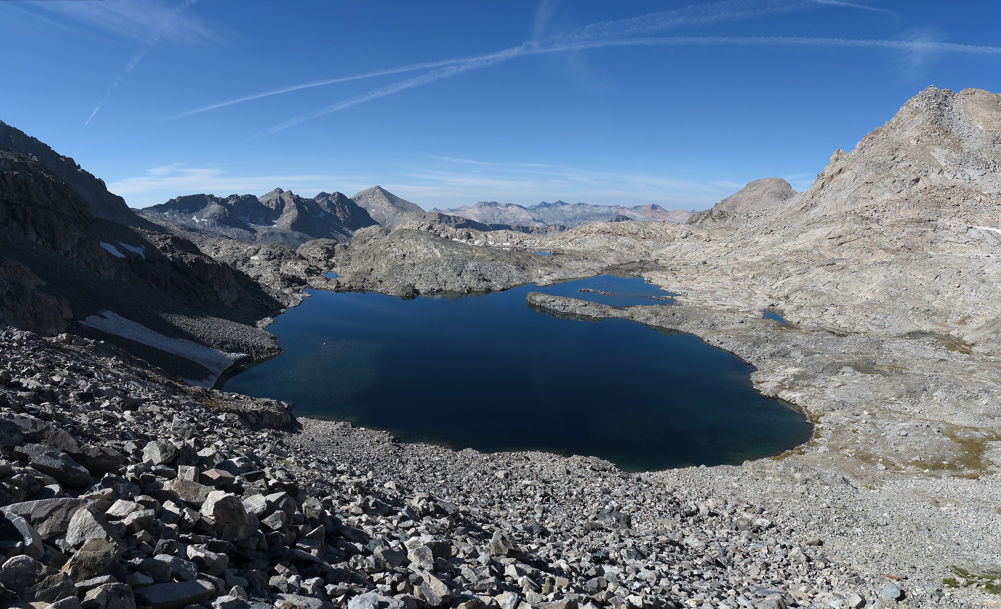
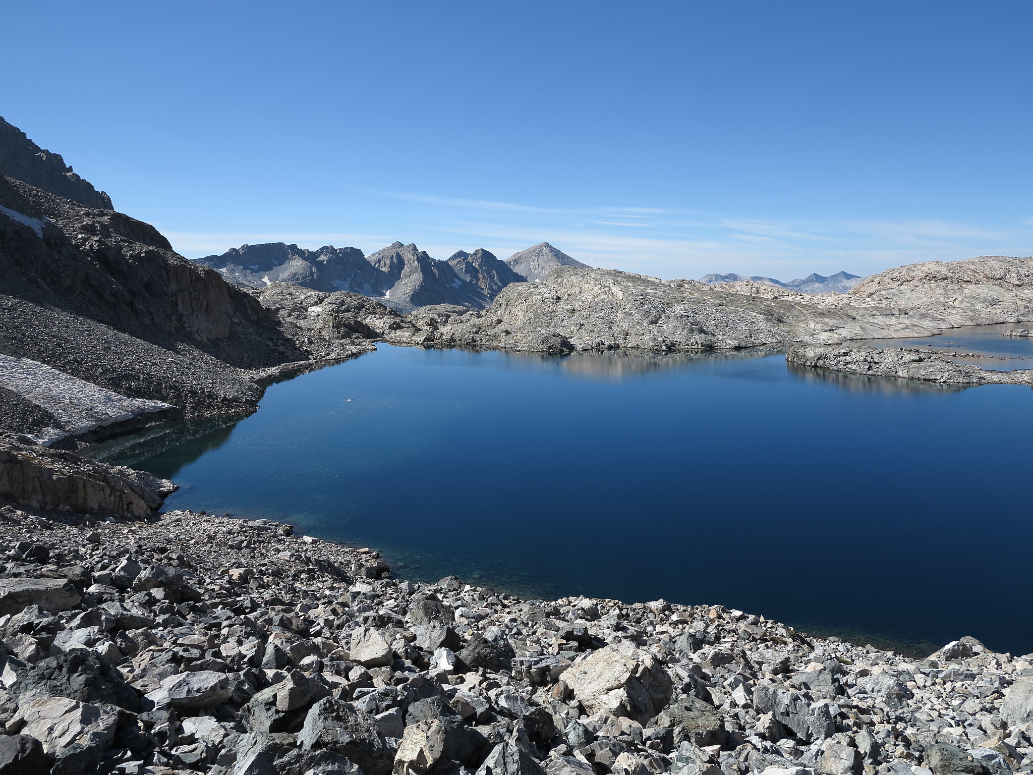
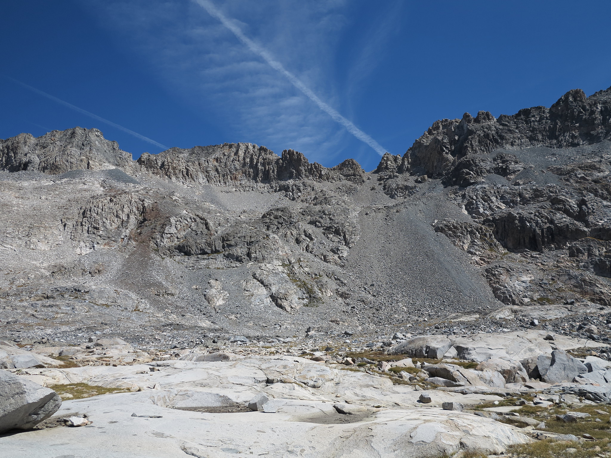
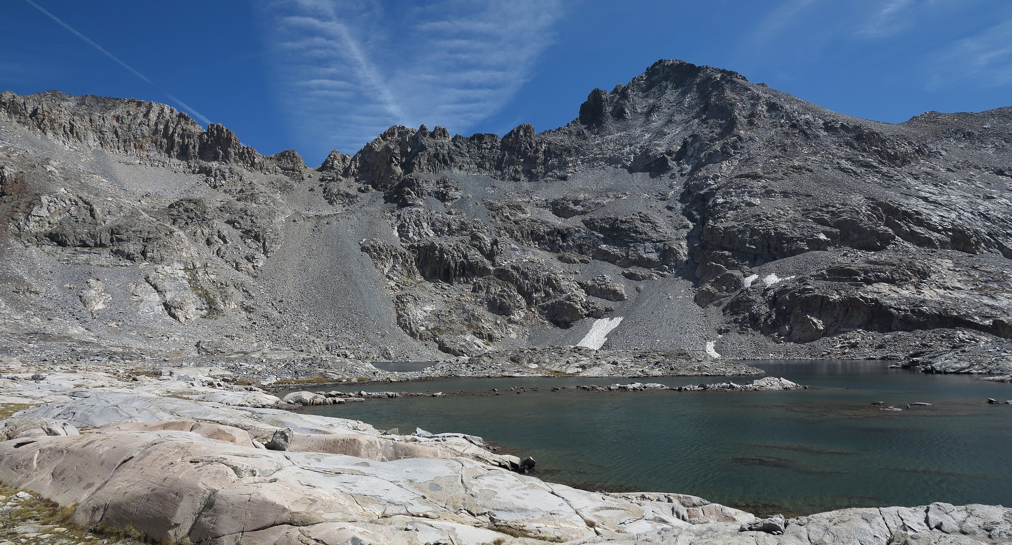
ROUTE DESCRIPTION: From the small unnamed lake on it's Eastern side go around it's Northern shore and pick any route up you would like. From a distance it appears to be a loose scree nightmare but it is not. Some loose areas are encountered but is generally quite easy and not nearly as steep as it looks from a distance. You can either stay at lake level until below it or angle up as you go like I did. Either way should be easy.
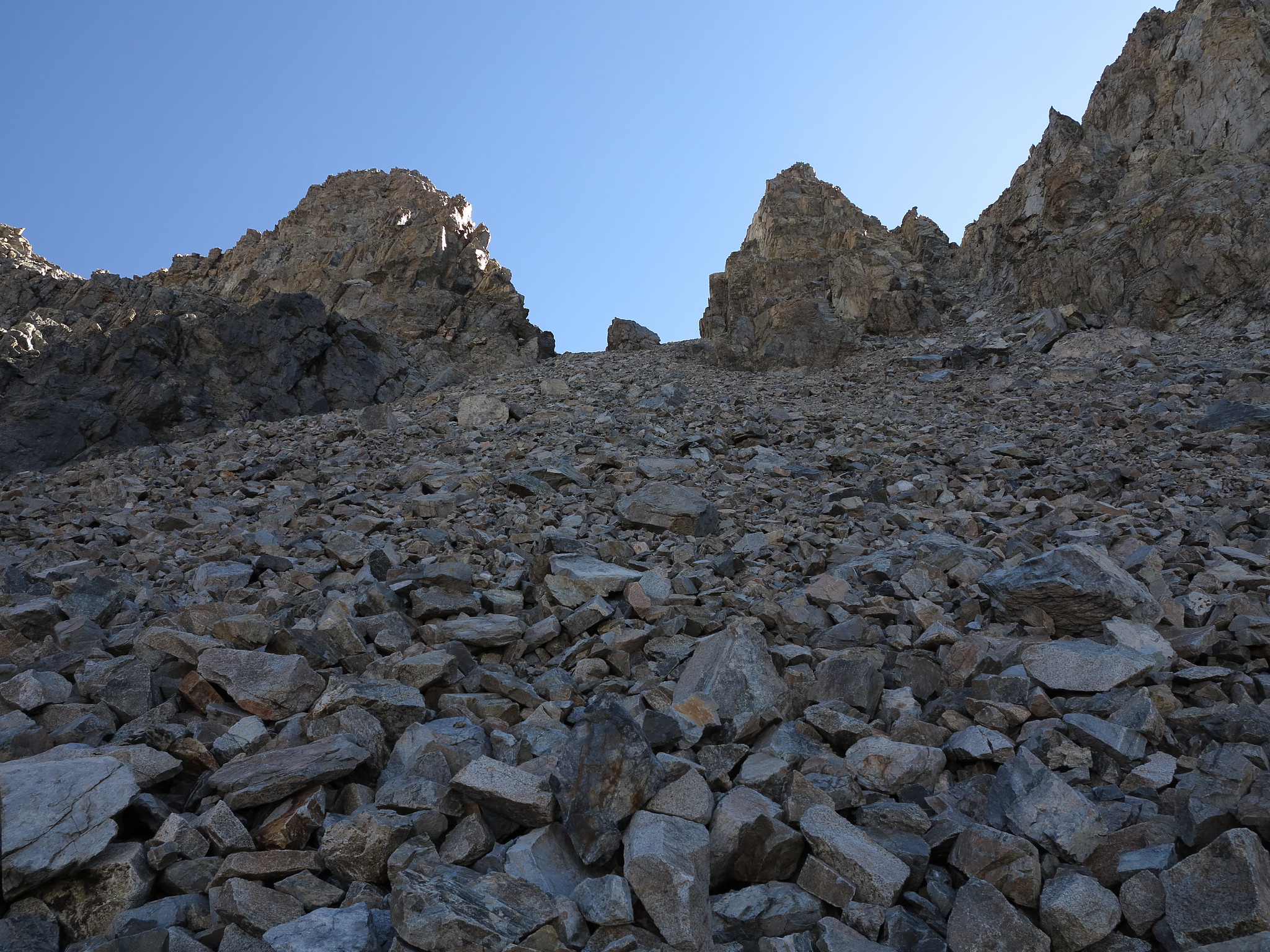
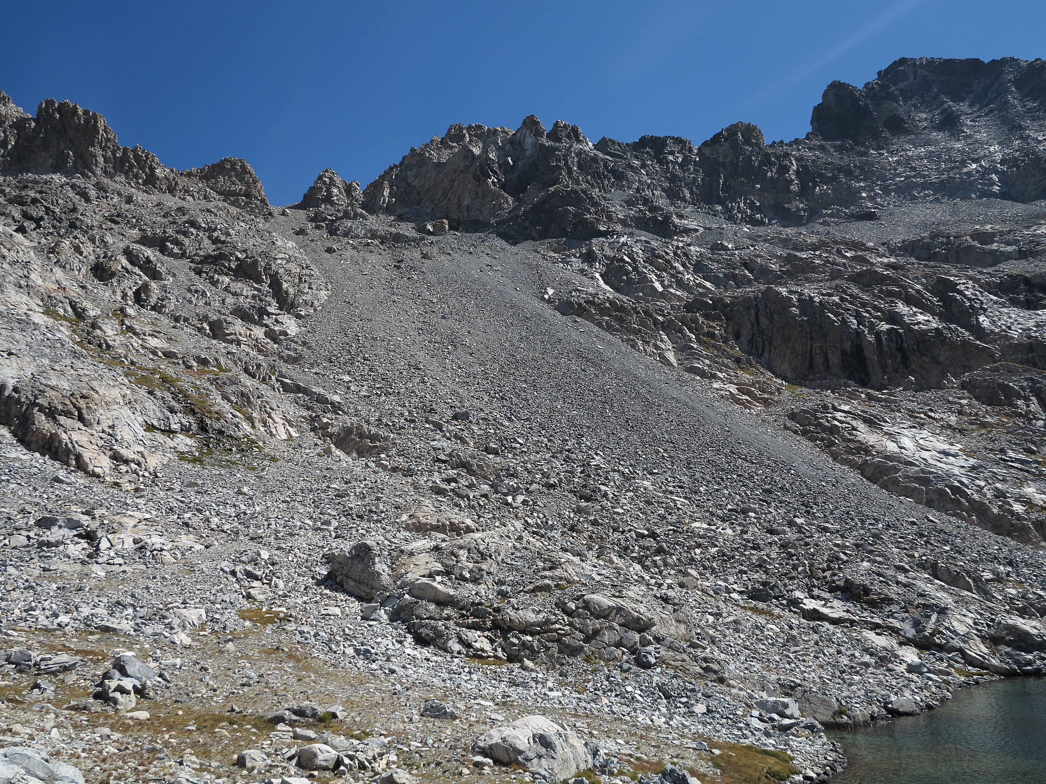
The West side of this pass may be class 2 but it demands extreme caution to remain safe. The scree is so loose that playing a physics puzzle game as you descend is necessary. Read the slope both below and above you. Decide which areas are most likely to give way and zig zag as necessary to avoid causing a major slide. Pay close attention above you. I would stop constantly and watch the uphill slope while I took a step as much as 30 feet away the slope would begin downward on me.
No real route difficulties are encountered. A 3rd of the way down you will be funneled into a narrow stretch next to some solid rock on your right. When your more then half way down the slope will begin to lose it's steep grade and give way to larger yet still fairly unstable talus. Either side of the lake below can be navigated.