Day “Zero” :
I did the drive from SoCal to the Tioga Pass entrance, and proceeded on to park my car and head to the Tuolumne Meadows backpacker’s camp. After parking, I noticed that all the other cars had little stickers taped inside their windshields - with vehicle number, entry date, etc. Mine did not. Apparently, while waiting in line at the park entrance, I had shown my wilderness permit & I.D. to two different rangers, but failed to stop at the third ranger who would have handed me my parking sticker. So I ended up driving back to the Tioga entrance to get my sticker ... sigh. Drove (again) to the T.M. Store parking lot, walked to the backpacker’s campground, and claimed my site.
Day 1:
It had been a shamefully long time since I had visited Yosemite (and never as a backpacker), so I had been looking forward to hiking just about ANY trail here. I had chosen Murphy Creek because (primarily) it was one of the easiest to reserve, and had seemed to fit the needs of my intended hiking partner - now out with an injury. Some trip reports I’d read mentioned the dullness and lack of views on this trail; I now have to say that I agree with them.
Early on (maybe 1/2 hour into my hike), I took THIS photo:
 some curiously-arranged boulders
Seeing this made me wonder - have the “rock-stackers” now graduated to lining up these larger stones ?
I made a quick detour to visit Polly Dome Lakes, which seemed a pleasant place to stop and camp for someone doing a late-day start. Continuing on, I observed that wildlife seemed to be in short supply (maybe due to Murphy Creek being dry ?). I did take a brief rest stop to watch a mama Mallard and her offspring feeding in a trail-side pond, but that was about it. A few distant views of peaks (to the North) revealed themselves somewhat late in my day’s hike.
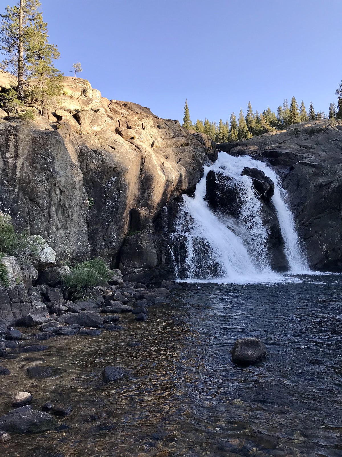
I was relieved to arrive at the two bridges (across the Tuolumne, and then across Conness Creek), where I very much enjoyed the views (and sounds) of White Cascade:
 White Cascade - at Glen Aulin HSC
I proceeded on through the High Sierra Camp (not open this year) and went on a bit, choosing one of the numbered tent sites in the #16 - 30 group ... not sure which one, as most of the “marker posts” are missing their number plates . I set up my tent, then walked back down to filter water and generally take in the sights, especially the cascade and the river - above and below the bridge.
 White Cascade - sunset
 Tuolumne River - sunset
Day 2:
My plan for today was to hike down (and back up) the river to visit three falls: California, LeConte, and Waterwheel. I got this photo just below the Tuolumne bridge:
 morning on the Tuolumne River
... and noted the mileage on this rustic-looking sign:
 on my way to visit some falls !
I found walking through Glen Aulin (proper) to be quite pleasant - I found Wildcat Point to be an interesting feature:
 Ferns and forest of Glen Aulin
... and soon reached California Falls -
 (a little bit of) California Falls
Some of the stretches of river between the falls are quite beautiful-
 the river takes a breather ...
I reached LeConte Falls; I found it difficult to effectively photograph (though I did get some video). Incidentally, all three “falls” seem more like dramatic “cascades”, but the distinction seems trivial. They are worth seeing, even in a low-water year.
 LeConte Falls
I finally reached Waterwheel Falls; due to low(er) water flow, the “wheels” weren’t shooting up as high as photos I’ve seen, but it still felt pretty dramatic standing close to them:
 Waterwheel Falls
 yeah, okay, so it’s a dry year
After a nice visit (which included the taking of too many photos and videos), I turned around and headed back uphill.
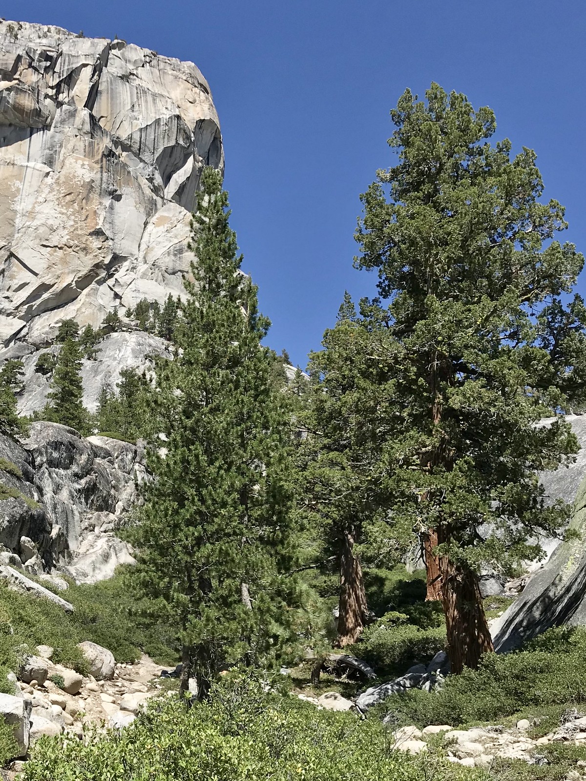
 trees ... and granite !
Not far before the end of my hike, I veered off-trail where the river took a lazy bend away from it, and found a nice sand beach to take a quick dip. Back at camp, I filtered some water and had an early dinner, then wandered around taking yet more photos before turning in.
 bridge over Conness Creek - sunset
Day 3:
I got packed up early, and made it back to my car in a bit over 3 hours. Funny that I hadn’t much noticed how much downhill travel I experienced on Day 1, but I noticed it now, heading mostly uphill on my return trip.
Leaving Yosemite, I headed back south, taking a nice detour on the June Lakes Loop (and stopping for lunch at June Lakes Brewing Co.) In all, it was a very successful trip.
