I got started a little before sunrise (for once!), and headed up the familiar trail from Road's End. I had chosen to take the loop clockwise, and the fairly gentle ascent validated my decision. The trail was in better shape---less overgrown---than usual. I also appreciated the low altitude, after several weekends starting from higher trailheads. I made good progress. At Junction Meadow, just over 10 miles in, I ran into the first downside of a clockwise loop, the morning crossing of Bubbs Creek. Brrr! But it wasn't so bad and I stopped to dry off a bit on the other side before continuing to East Lake.
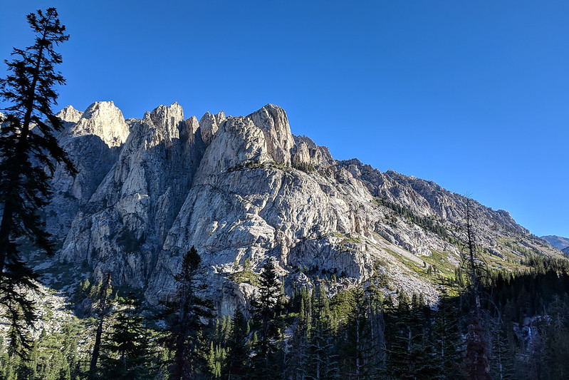
Looking back toward Bubbs Creek:
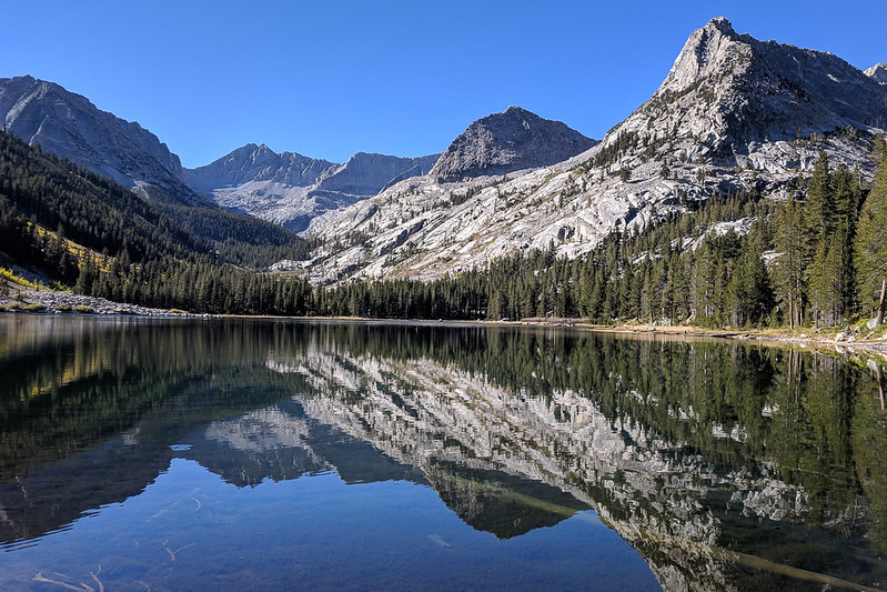
East Lake:
At East Lake, I went off trail, around the western side of the lake to Ouzel Creek and then to ascend the east ridge of Mt Brewer. The summit is still about 4000' higher, which I climbed over about 3.5 miles. I felt tired ascending. Not the altitude; my legs weren't good. Weak and bashed up. I'd bought ice the day before because my knee was still so swollen, after a hard fall in Lost Canyon (going up to Sawtooth Peak, near Mineral King). But I took my time. The climbing was easy enough.
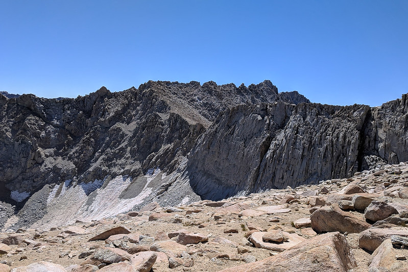
(I took a picture of Brewer Pass, because it looked incredibly steep, and snowy. I think I would rather take the east ridge; Secor also mentions this as an alternative route.)
Brewer Pass:
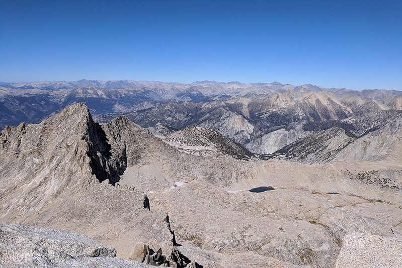
Then the summit. Excellent views all around, I grabbed lunch and took plenty of pics. Very clear, no smoke, light wind (but it wasn't too chilly). The closer views, toward Mt Ericcson---where I could pick out Lake South America and had a great view of the passes above Lake Reflection, though not of that lake itself---and toward Rixford---where I could see Bullfrog Lake and even what looked like Glen Pass, were excellent. Looking farther out, I was happy to recognize lots of peaks, in most directions. The Kaweahs to the south, Whitney to the southeast, the Palisades and Goddard to the north. I regretted, though, not having saved a labeled panorama to my phone so I could name some more.
Toward Bullfrog Lake:
Goddard is just above North Guard (the foreground peak):
Whitney, and Lake South America:
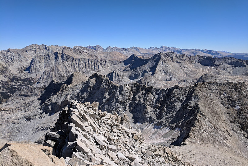
South Guard Lake, and Kaweahs:
Summit panorama:
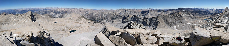
Some say that Brewer has the best views in the Sierra. They're wrong. In fact, the rise maybe 50 feet east of the summit has better views, even though it is 10 feet lower. That's where I started taking pics, where the summit register was left. You get a better angle on the lakes to the southwest (South Guard Lake), as well as of Brewer's steep north cliff face. Before heading down, though, I did tag the true summit. It is easy enough if you traverse around the north side of the block (mild exposure) before going up the west end.
Then the descent. The talus on Brewer's northwest face was quite stable---except where it wasn't. A few times I was caught by surprise when a block as big as me shifted and then slid. Anyway, down, down, down. Across Sphinx Pass, then down, down, down. I saw some campers at a middle Sphinx Lake, though I'm not sure they saw me. (Where was everyone? I'd thought the whole world would be out here this weekend.) Past the Sphinx Lakes, where I ate my last Clif bar, and down, down, down. All off trail. Below the lowest lakes, I stayed high to the west, following a GPS track, and stayed on talus instead of bushwhacking nearer the creek.
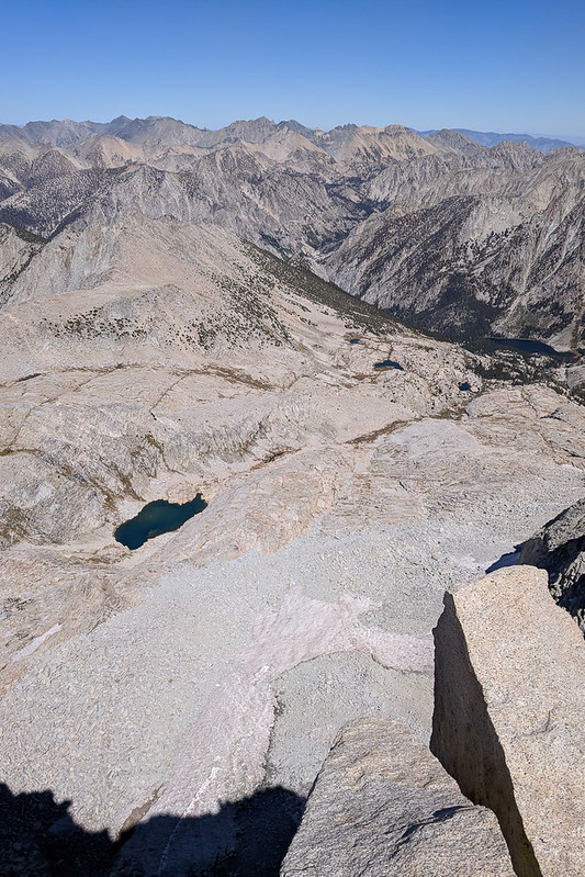
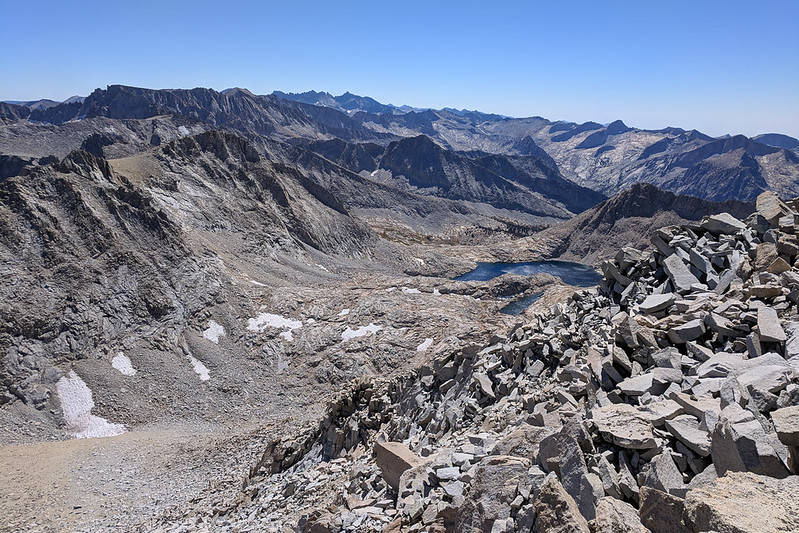
Looking down from Sphinx Pass:
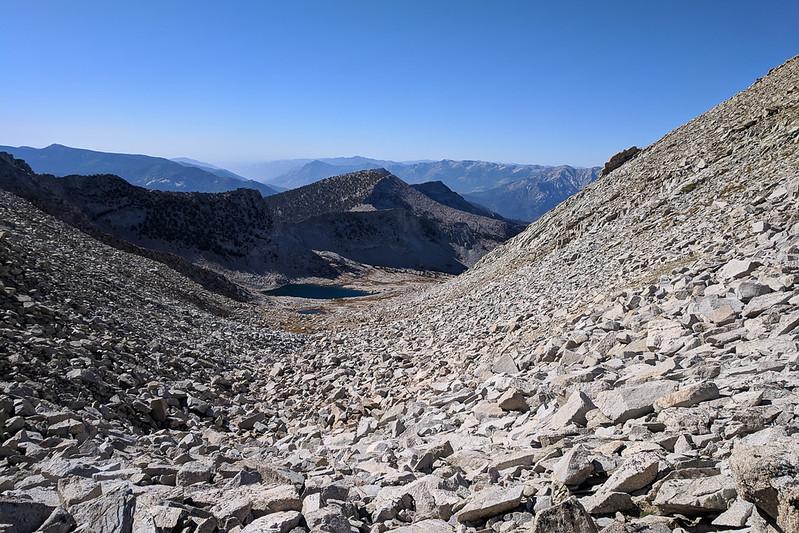
Lake:

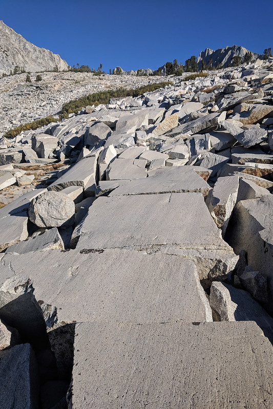
Who needs a trail? It might as well be paved:
Finally, I hit Avalanche Pass Trail, which is flat and runnable for a couple miles. I wanted to make good time because the sun was going down, too. Then the switchbacks started. The Avalanche Pass Trail was new to me, and the switchbacks were seriously impressive. They just went on and on! No problem going down, but big props to anyone who backpacks up these, especially as they come right after the main Bubbs Creek trail's big switchbacks.
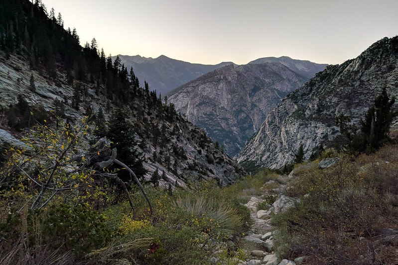
Lovely Avalanche Pass Trail:
I needed my flashlight for the last four miles of the familiar Bubbs Creek trail. No bears. Good times.
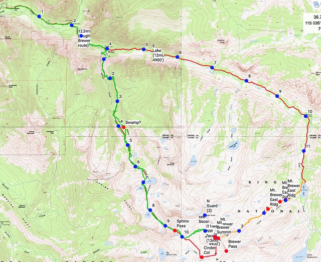
Map: