To make this a mini-thru hike I left a car at Horseshoe Meadows at the southern end of the route and took a shuttle to Whitney Portal in the north where I would begin. Although the route was only 30 miles the total elevation change was over 23,000 feet via mostly cross country terrain with a few class III climbs to keep things interesting.
Once the shuttle dropped me off at Whitney Portal the only way back to the car was to commit to the route. . . and I began to wonder if my plan was too adventurous for just one weekend.
After an early start I arrived at the ranger station in time to get a 'walk-in' permit for the North Fork Lone Pine Creek, (aka the Mountaineers Route) up Mt. Whitney. By the time I reached Whitney Portal it was already 2:00 pm, which left just enough time to hike up to Upper Boy Scout Lake at 11,400' and camp for the night.
Camp at Upper Boy Scout Lake:
Day 2: 9.5 miles - 4,600'+ / 4,200'-
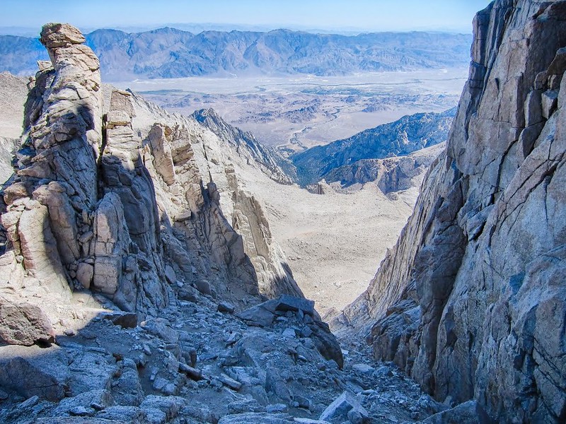
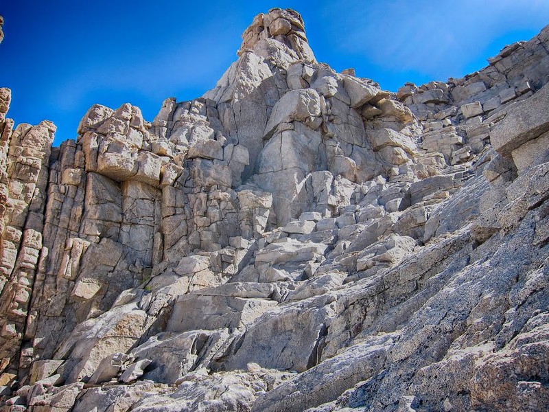
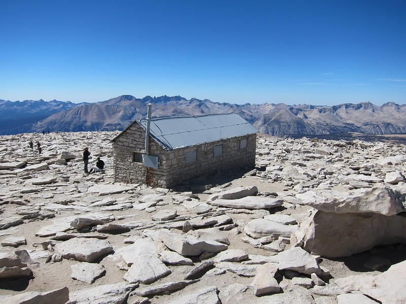
After camping at Upper Boy Scout Lake I got an early start on the Mountaineers Route to Mt. Whitney. The use trails were easy to follow to Iceberg Lake, but from there the route climbs a 1,500' chute with loose talus and steep ledges to 'The Notch'. The 'Final 400' is a fun class III climb that leads to the peak and before long I was enjoying the view from the top of Mt. Whitney @ 14,500'.
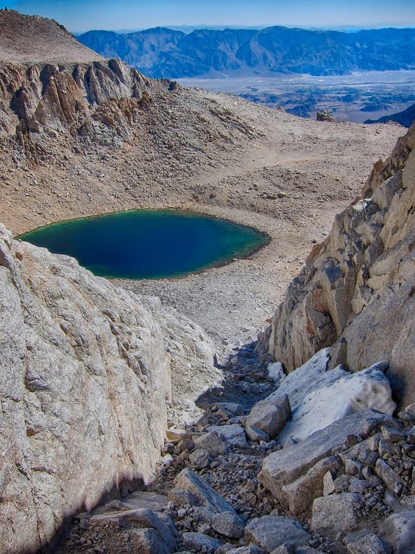
It was only 1:00 pm so after taking a few photos I took the Whitney Trail down toward Discovery Pinnacle where I left the trail and followed a cross country route down the 'Sand Hill' to Crabtree Lakes, then over Crabtree Pass and finally to Sky Blue Lake just after dark.
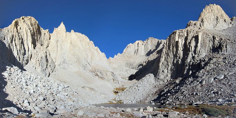
Iceberg Lake from the chute:
View from The Notch:
The Final 400:
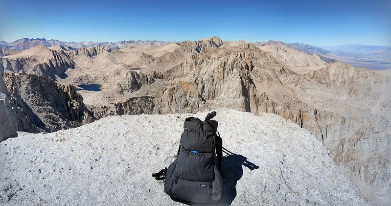
Mt. Whitney:
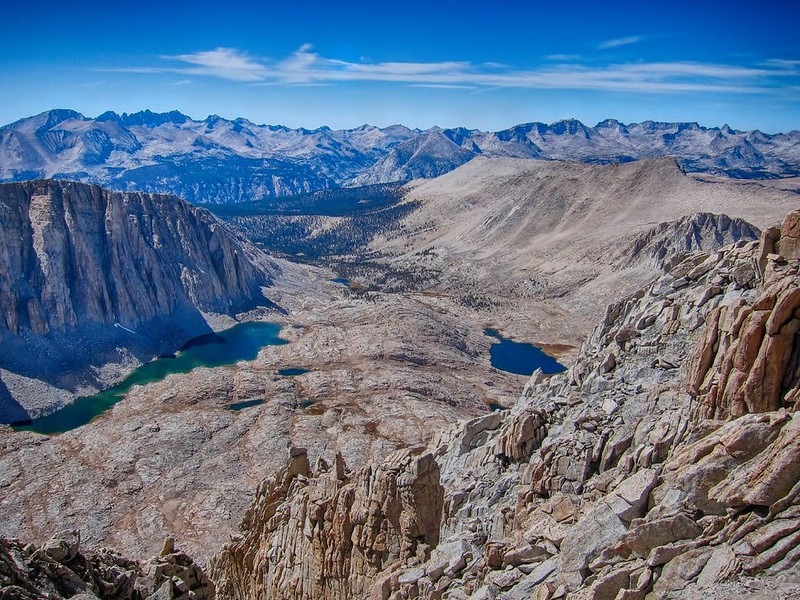
Heading down from Discovery Pinnacle to Crabtree Lakes:
Day 3: 16 miles - 3,600'+ / 6,700'-
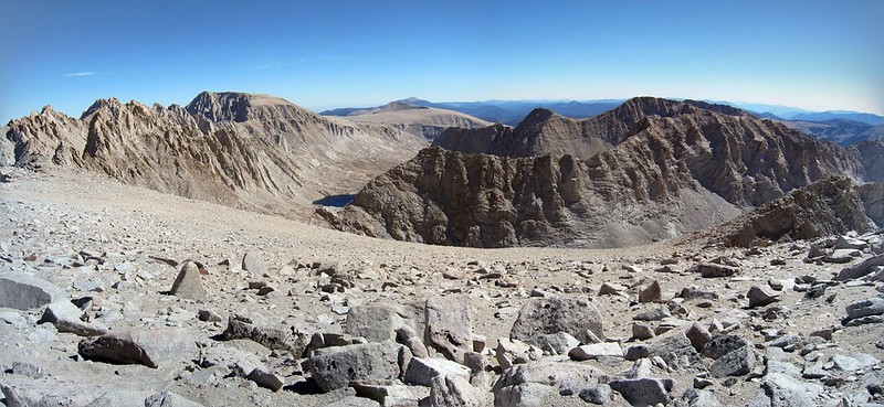
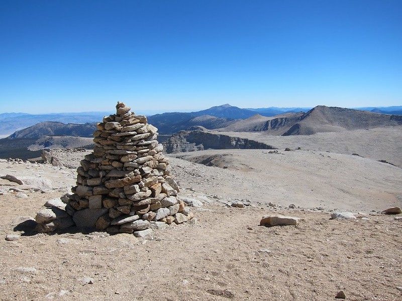
After a windy night near the shore of Sky Blue Lake I arose to crystal clear skies and enjoyed a relaxing hike through Miter Basin. After refilling with water at Upper Soldier Lake I started the sandy scree slog up up up to Mt. Langley. There are large cairns setup by the park service to lead the way and after a few hours I was on top, looking back at Mt. Whitney where I had been at the same time the day before!
The rest of the day was all down hill through the beautiful golden meadows in the Cottonwood Lakes area. I made it back to the car at Horseshoes Meadows by 6;00 pm, making it a 52 hour Microadventure.
The fall colors and shorter days reminded me that it was the end of the season and soon the first winter storms would arrive. This was a great way to end another summer in the High Sierra.
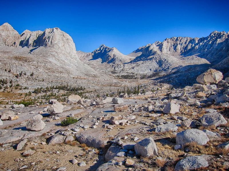
Morning in Miter Basin:
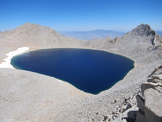
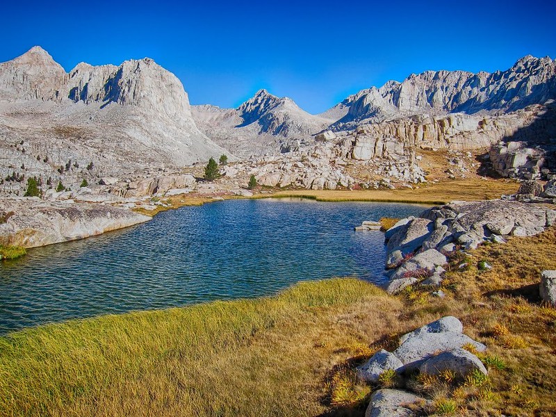
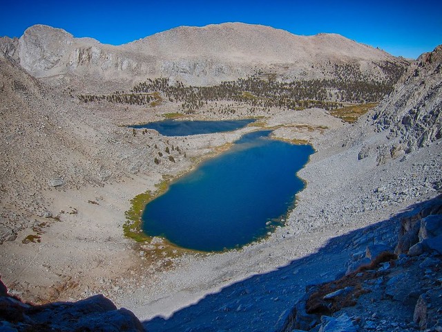
Three Tree Lake:
The NPS asks us not to move the cairns:
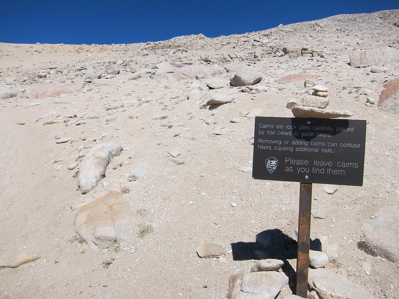
I don't think anyone is going to be moving the cairns:)
The view of Mt. Whitney from Mt. Langley:
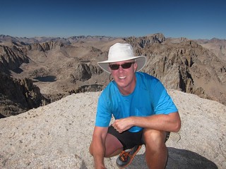
Finally at the top:
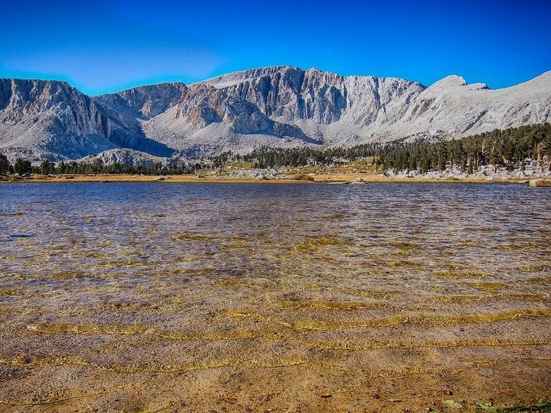
Cottonwood Lakes from OAP:
Fall colors:
Thanks for reading.
If you're interested in more photos, route details, map and gear list check out:
http://seatosummitultralight.blogspot.c ... ember.html