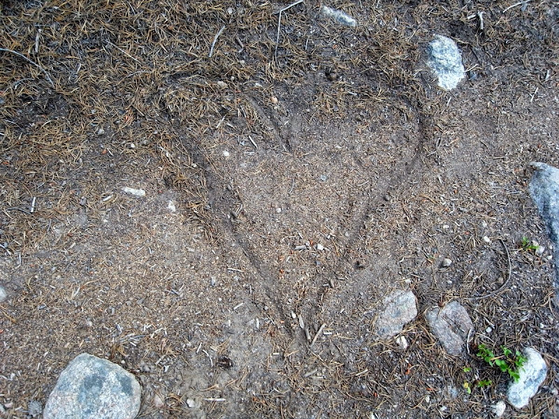
I’m happy. The first time in a long time. And I’m not and never will be.
Am I happy?
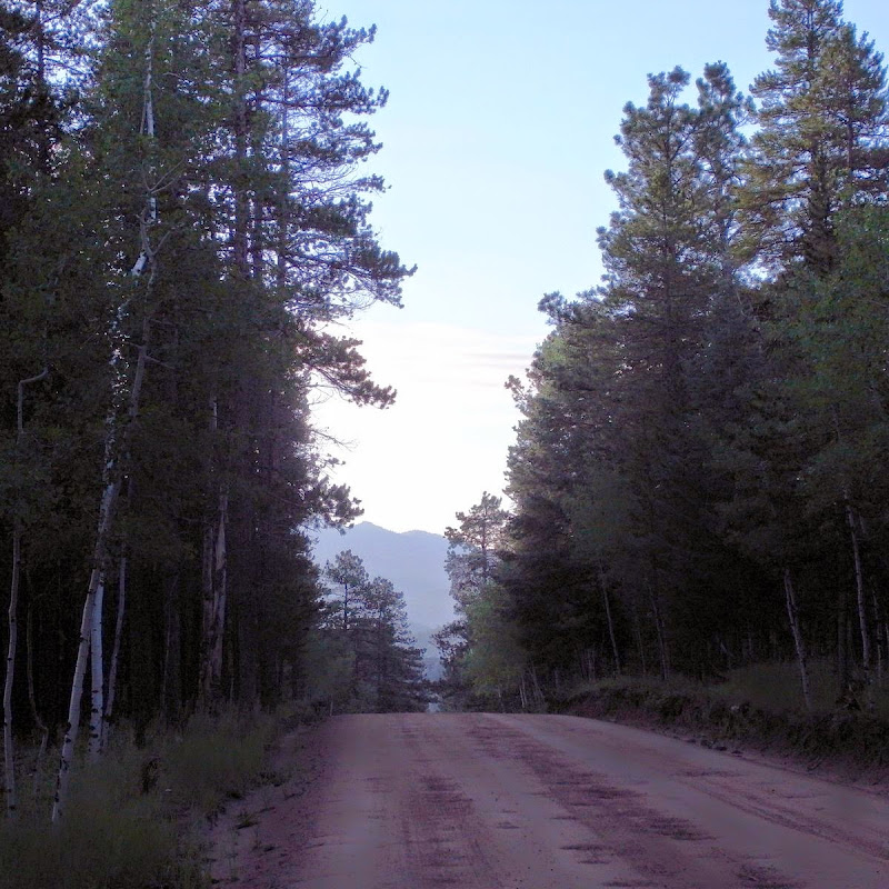
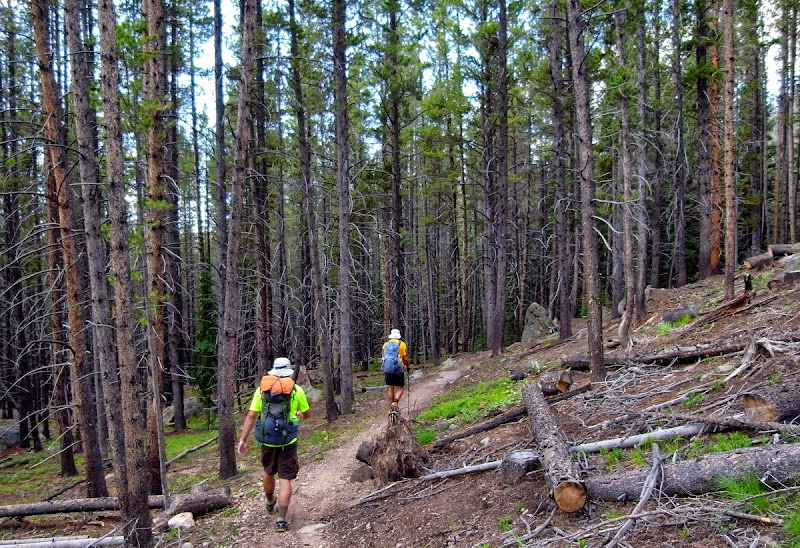
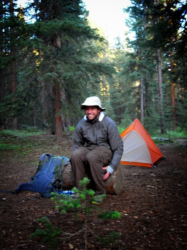
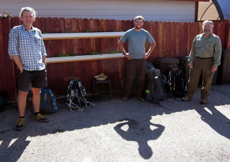
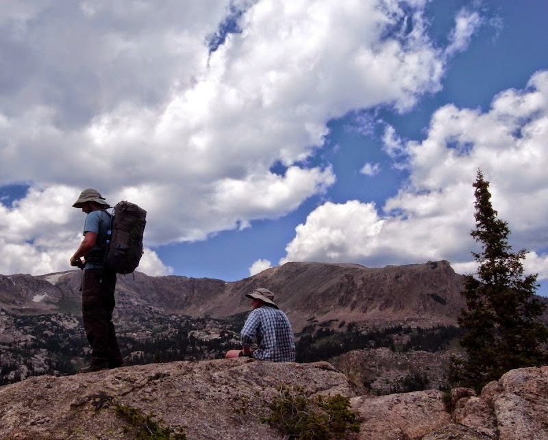
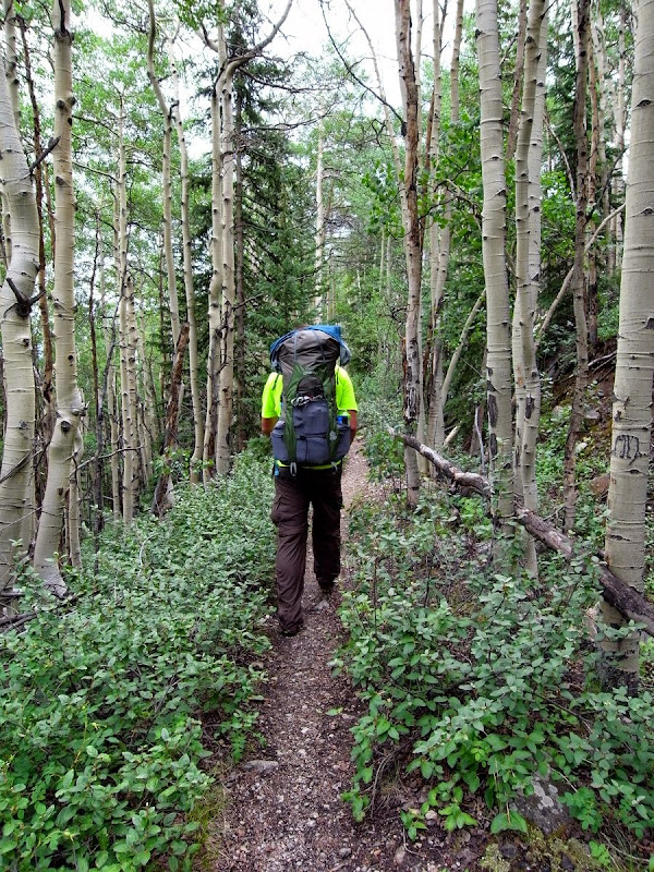
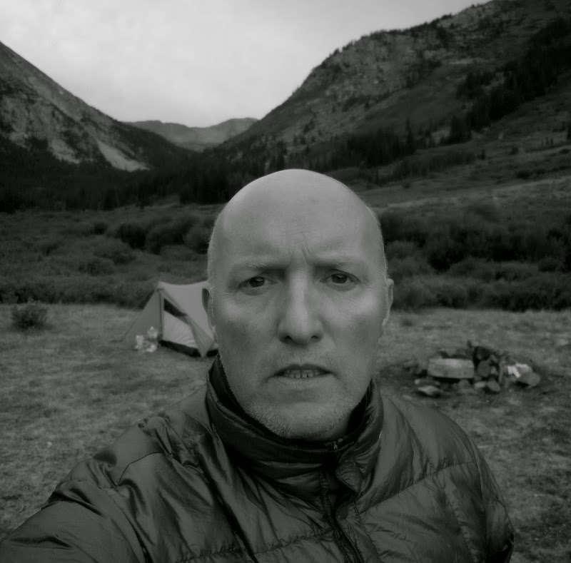
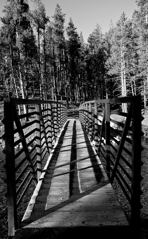
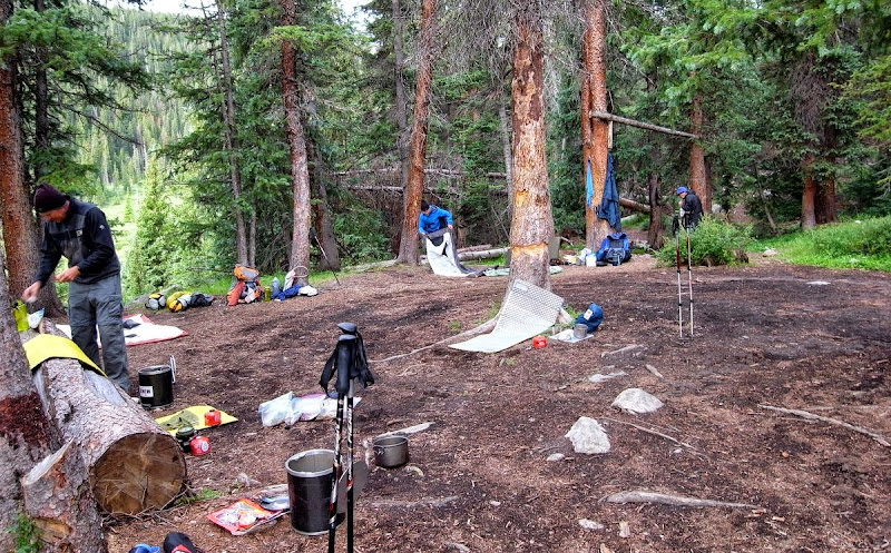
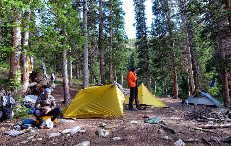
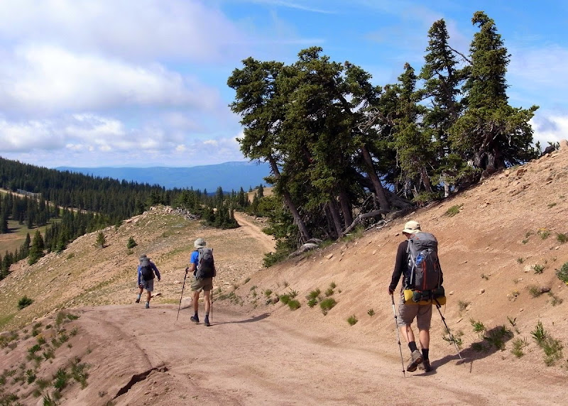
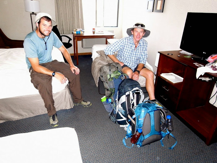
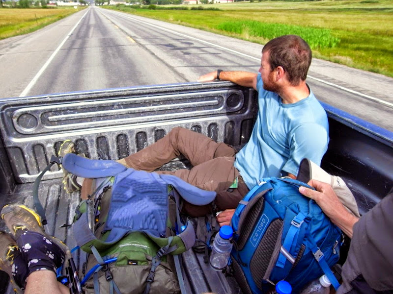
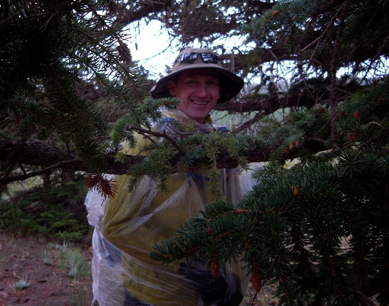
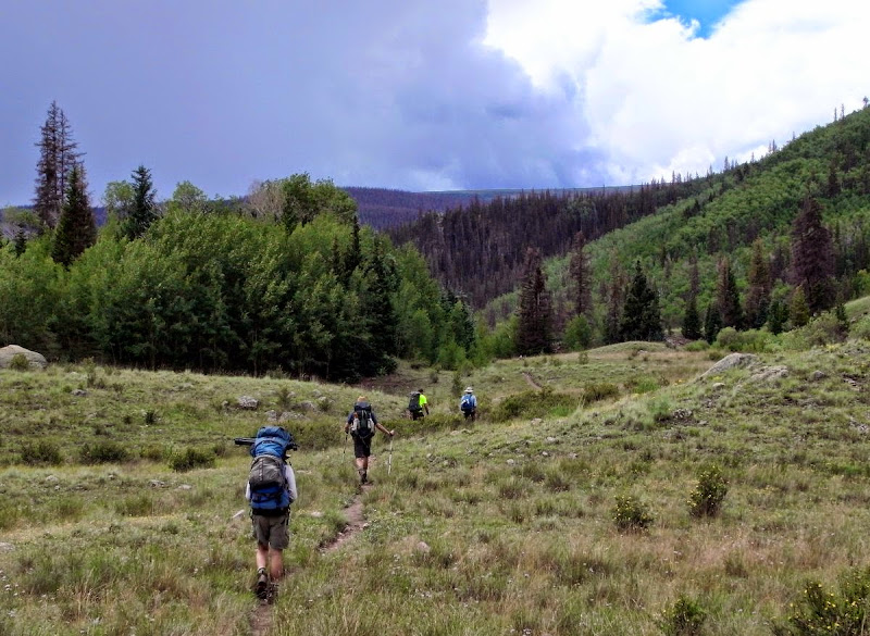
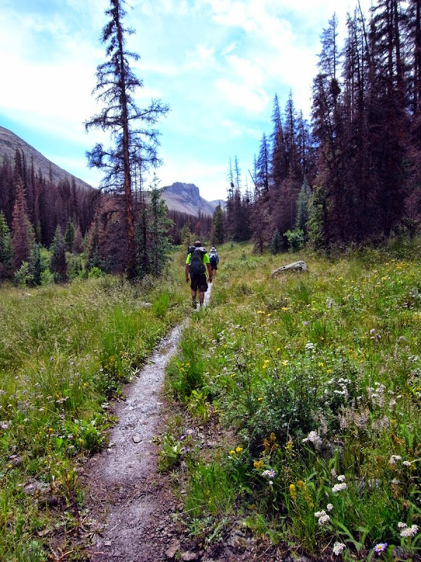
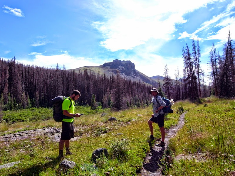
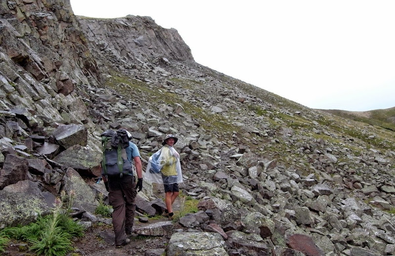
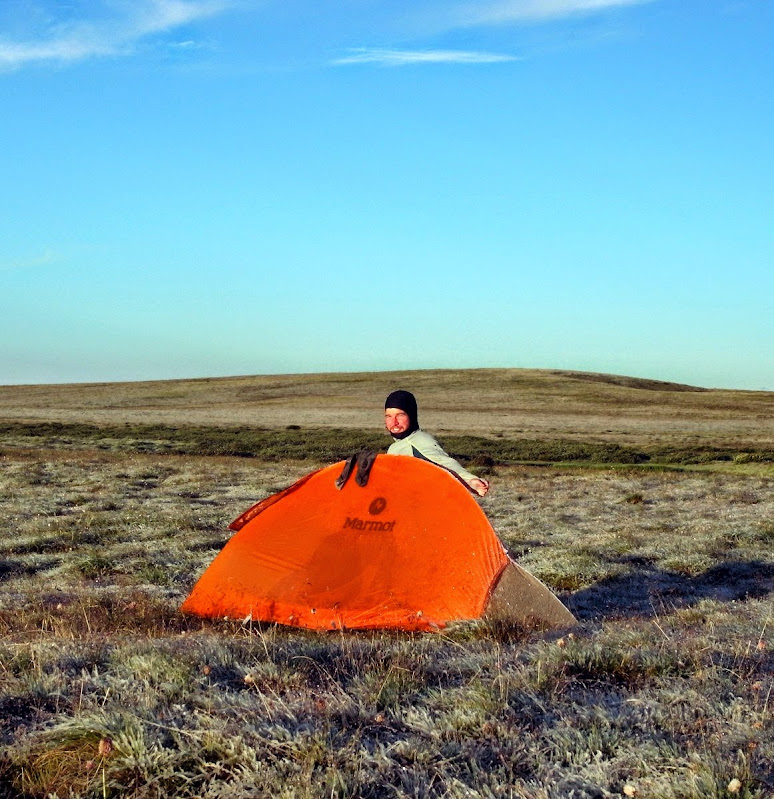
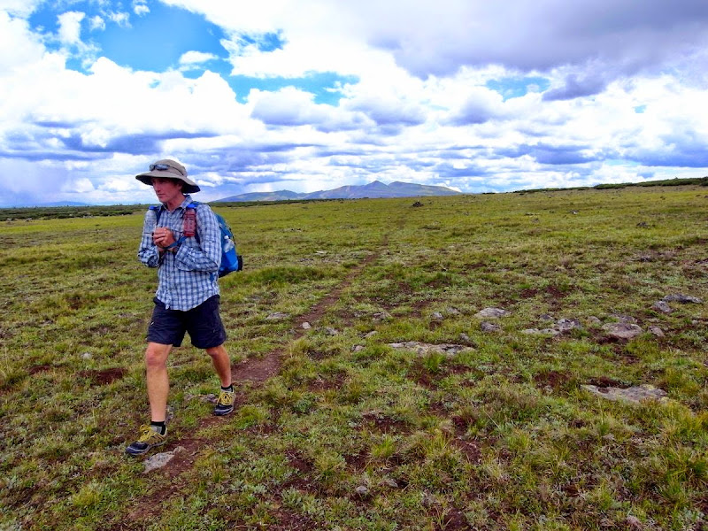
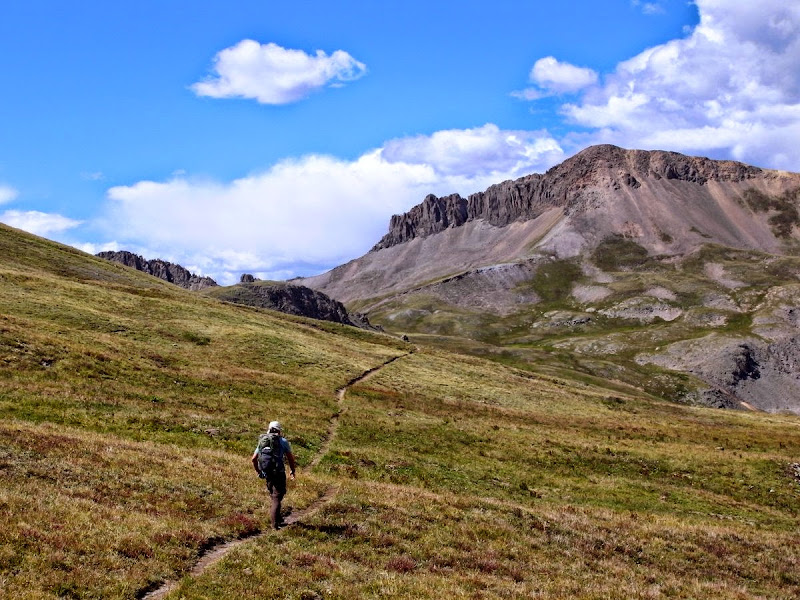
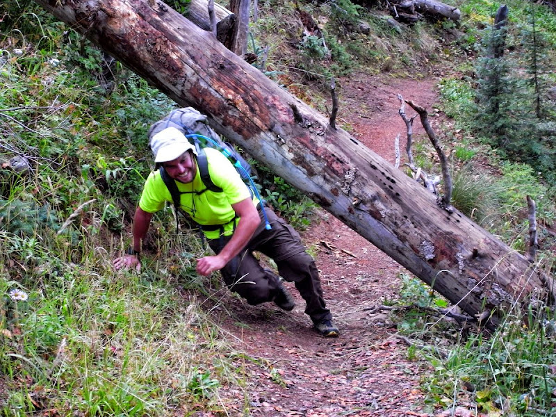
As the pickup accelerates the blacktop spins away back to Gunnison where we’ve resupplied and zeroed (how easily one adopts sub-culture). Matt’s grinning through his thru-hiker beard and Tom’s to my right, possibly pondering the wisdom of raw broccoli as a backpacking staple. Hint; don’t.
These are my friends - for now, one’s that will stay. Will they? Yes.
As we left she hugged me and said ‘take care, for real’. That I remember.
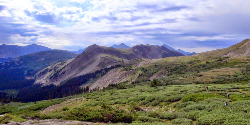
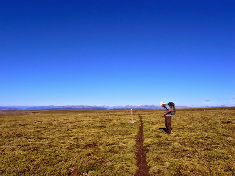
We are 300 miles in. Distance and the whole thru-hiker scene….do they matter to me. Do they? Yes.
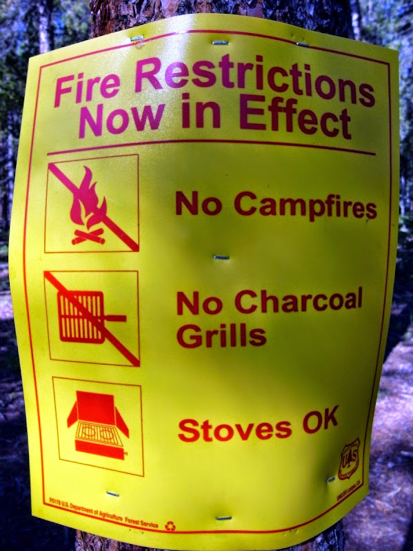
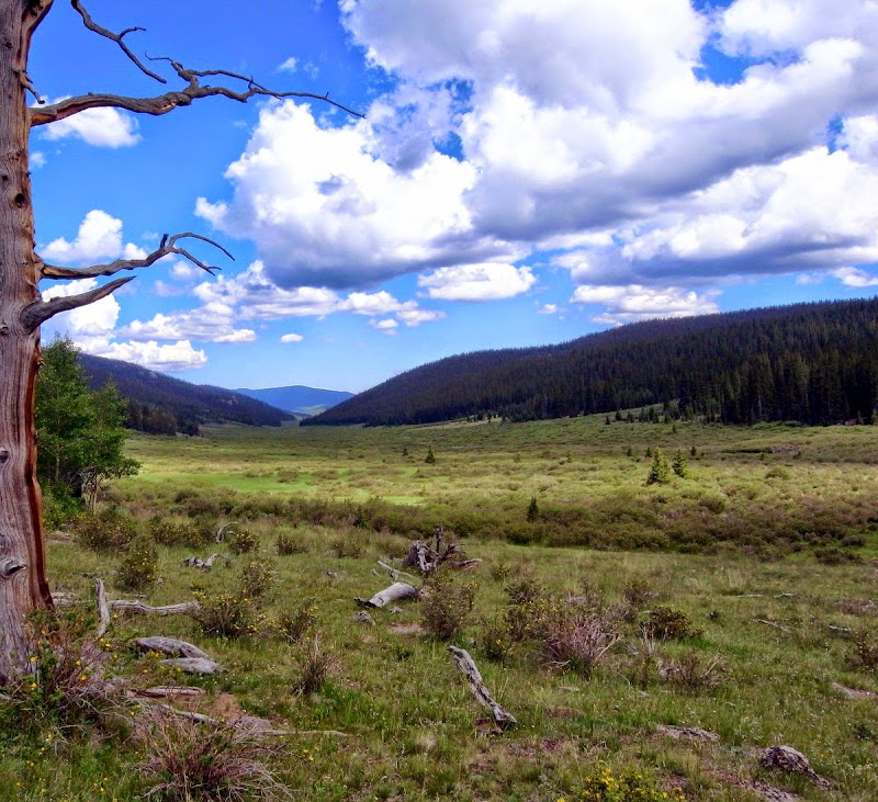
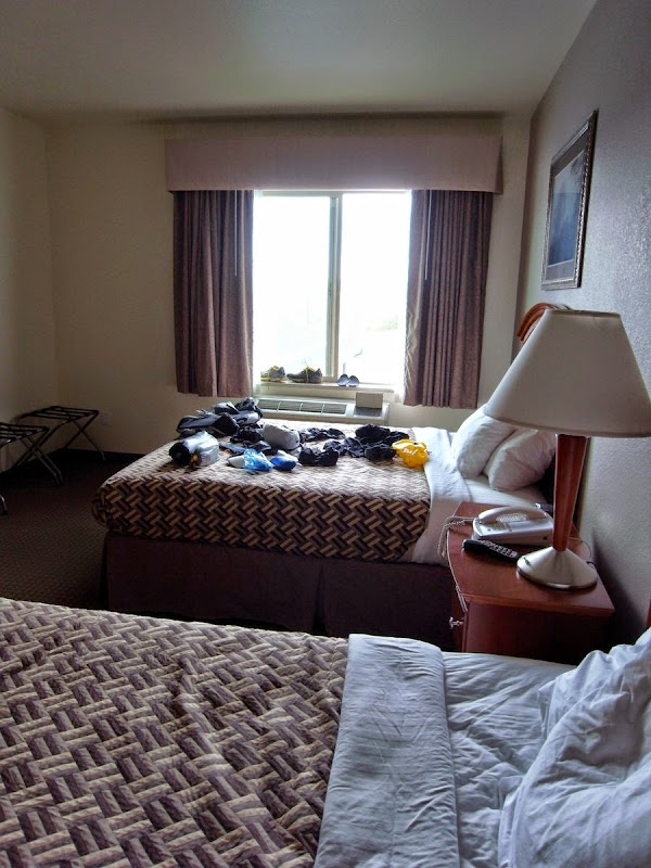
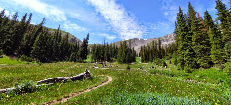
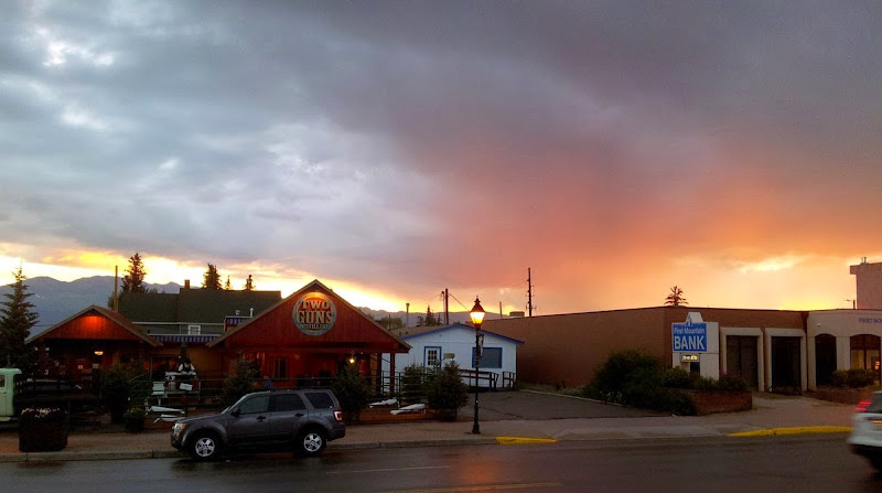
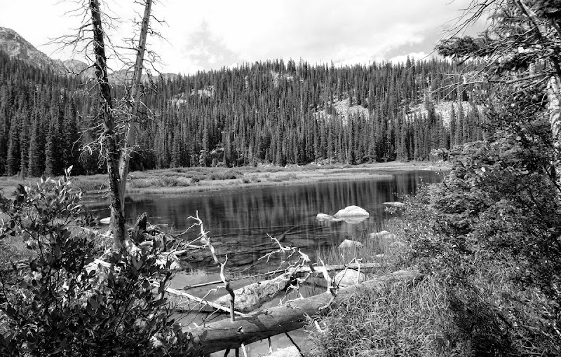
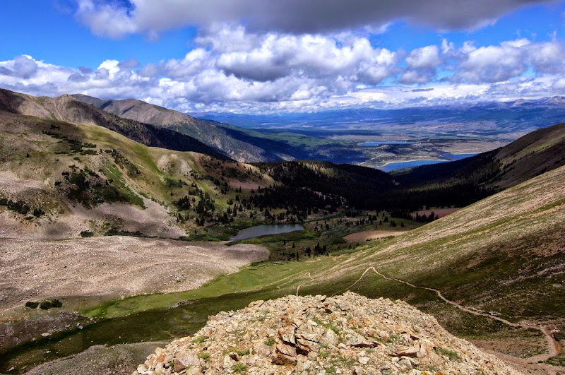
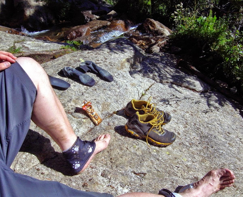
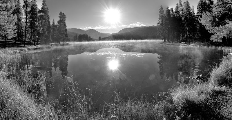
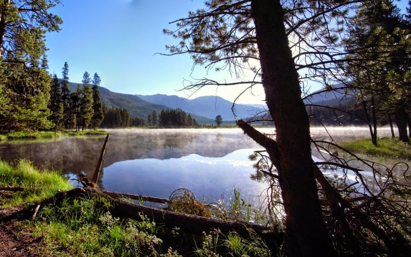
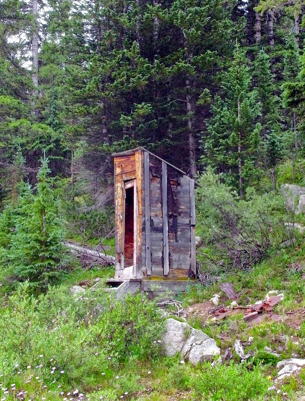
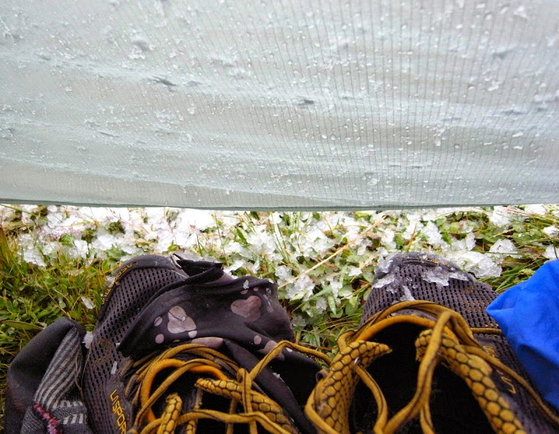
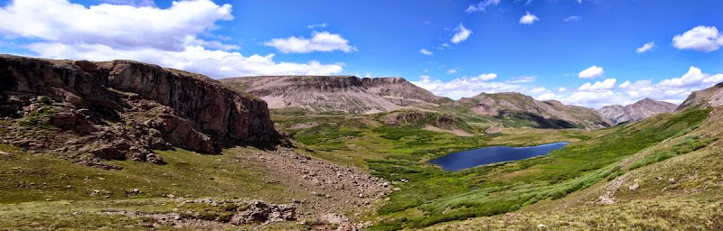
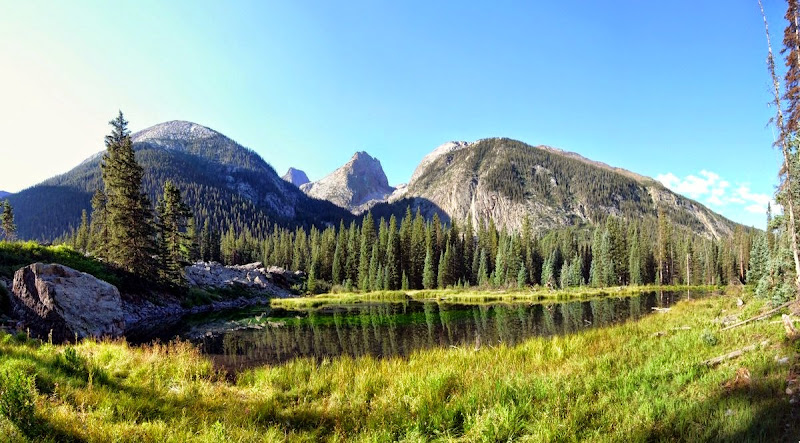
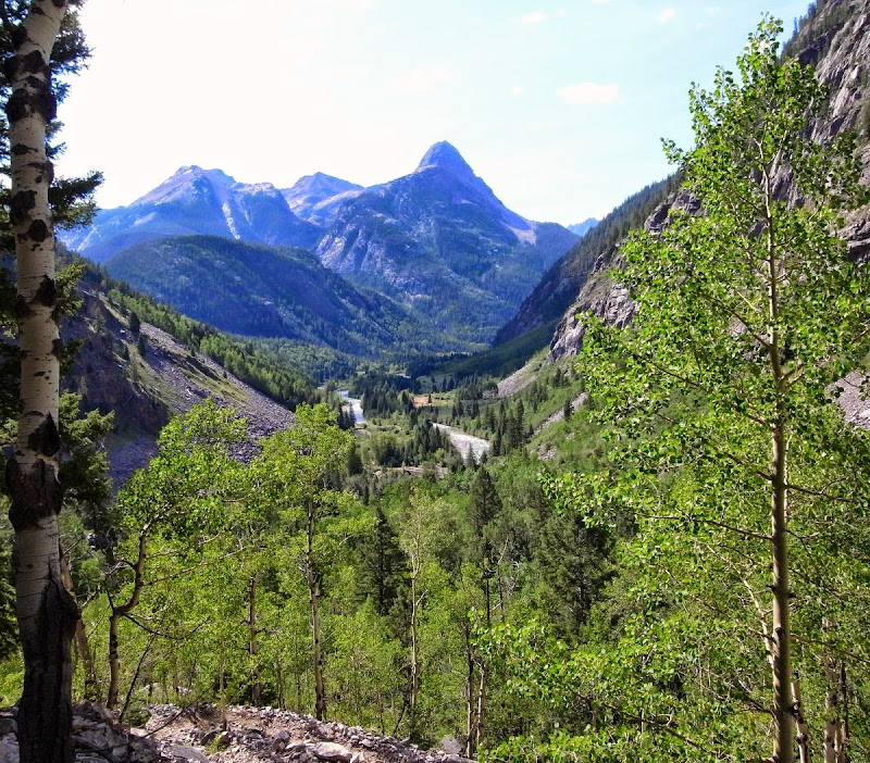
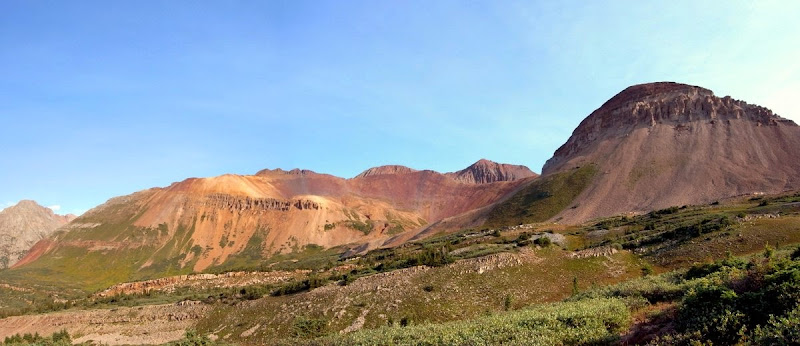
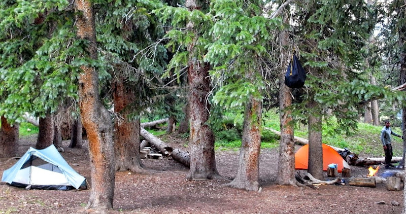
‘Sunny Gunny’ by repute. It wasn’t – not at all. It was exceptionally wet so we rested in the Wanderlust Hostel. A forty-mile hitch had been required for this resupply – the longest of the trip.
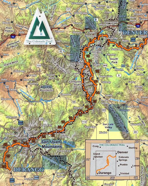
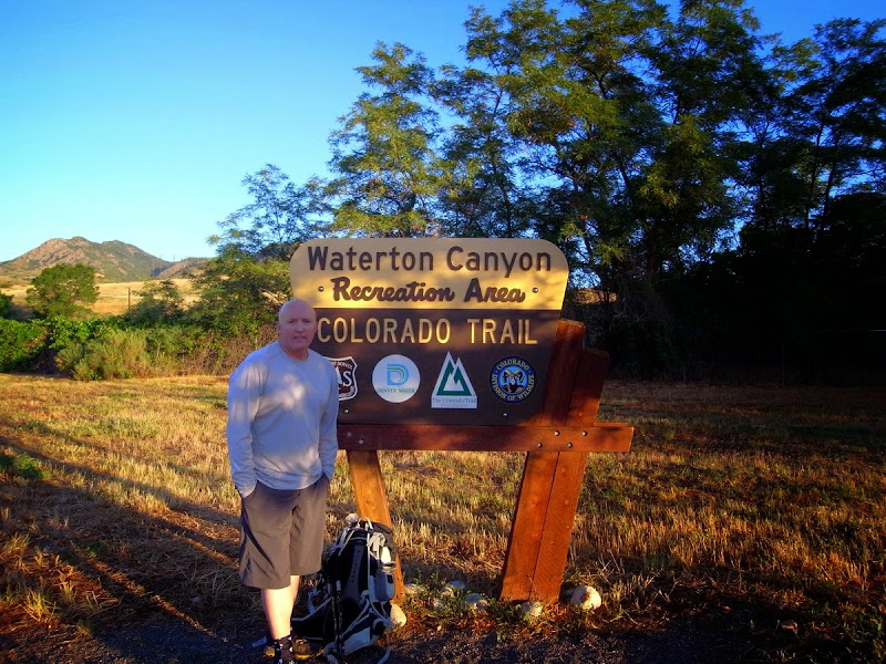
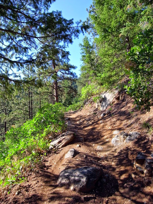
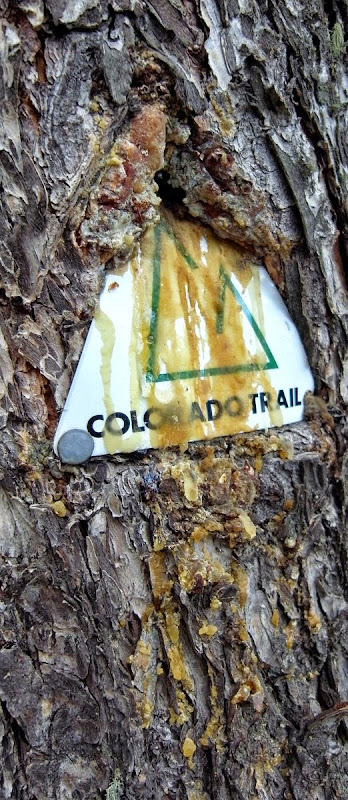
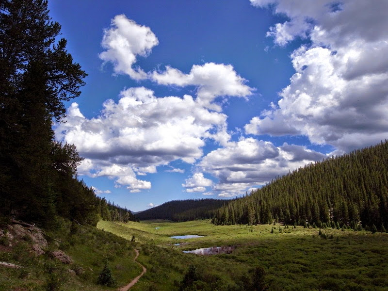
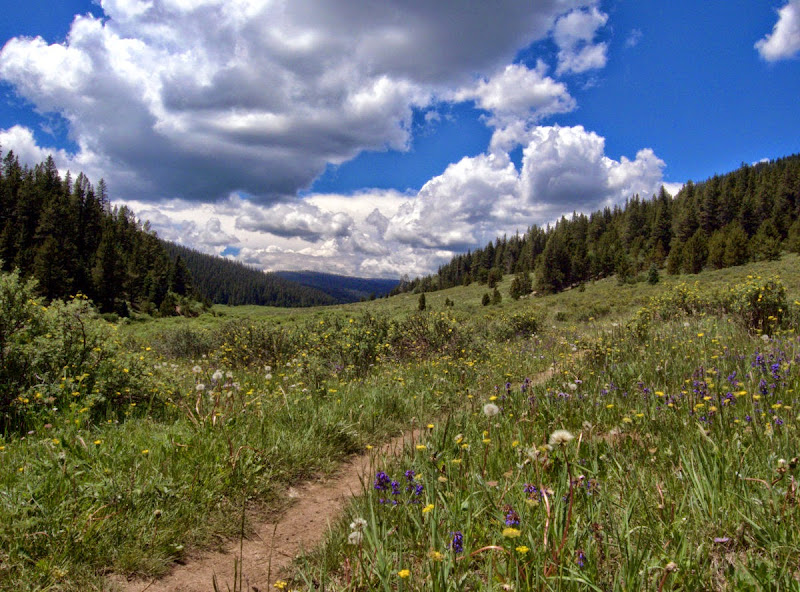
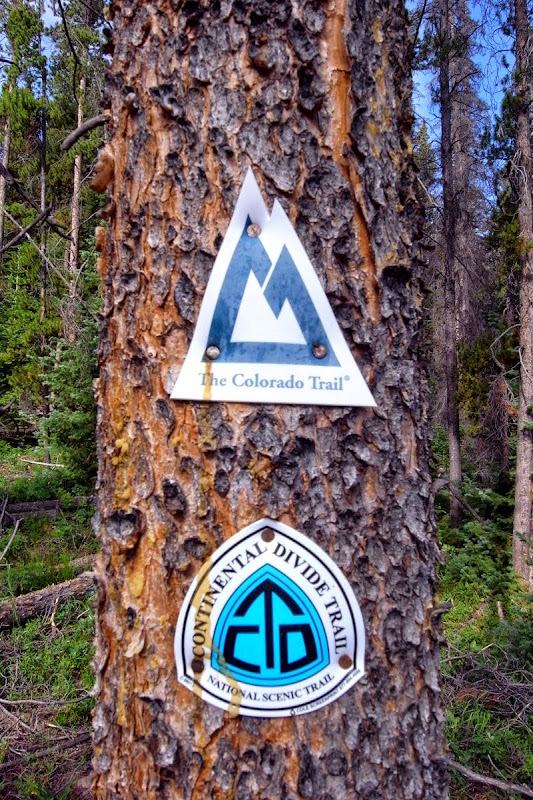
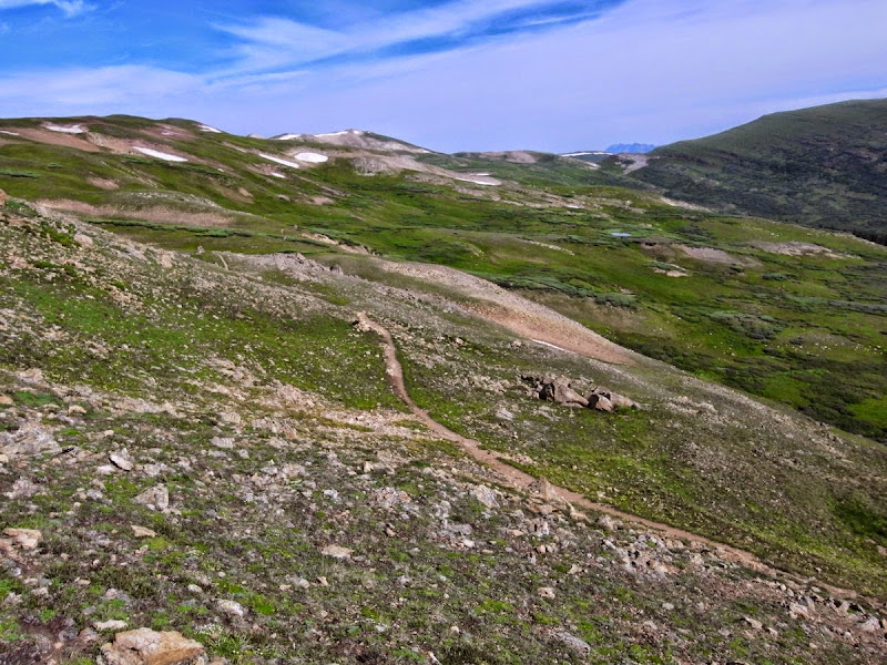
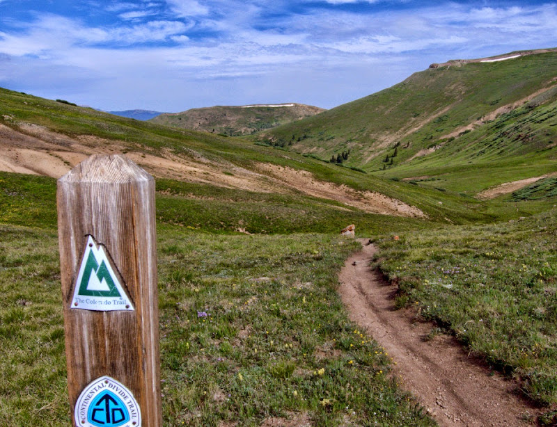
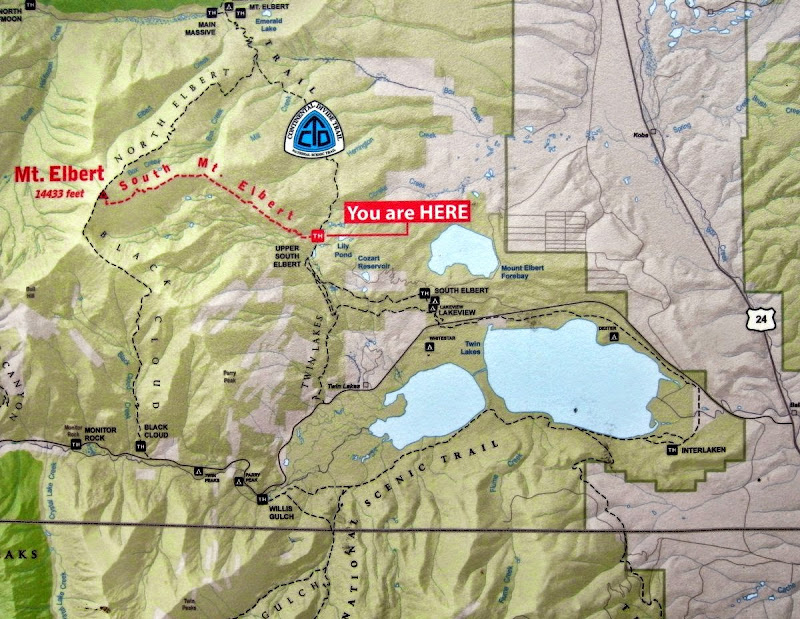
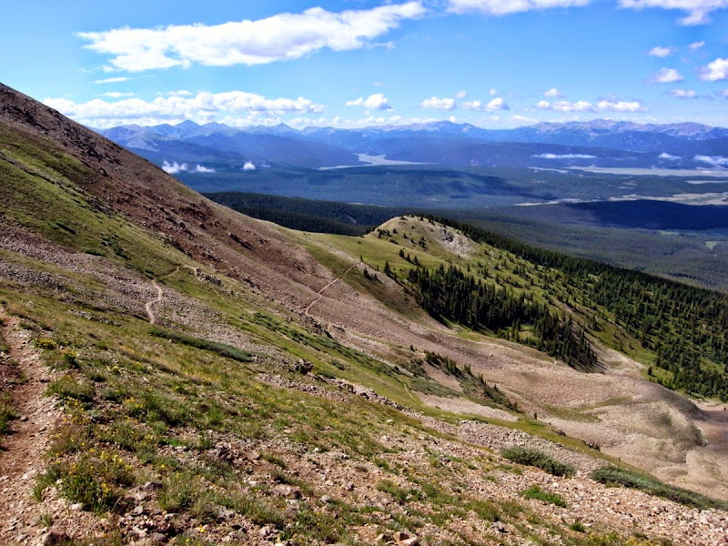
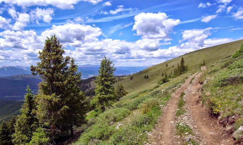
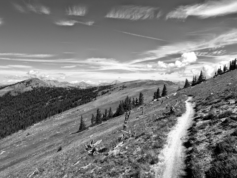
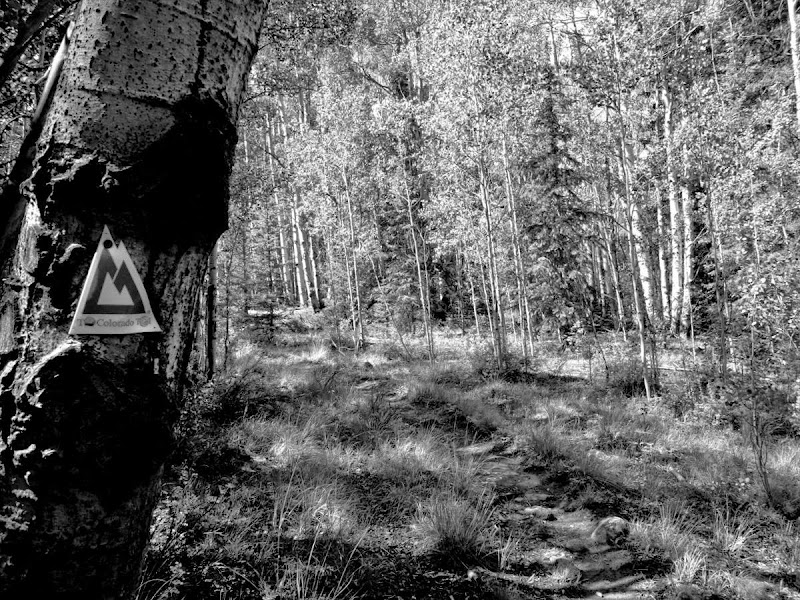
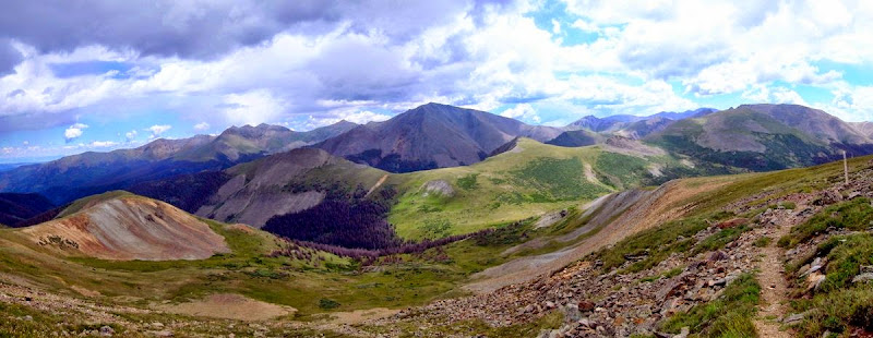
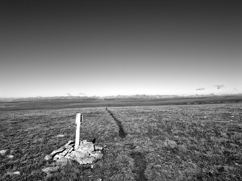
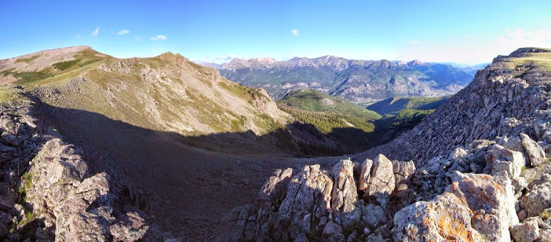
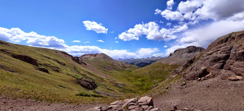
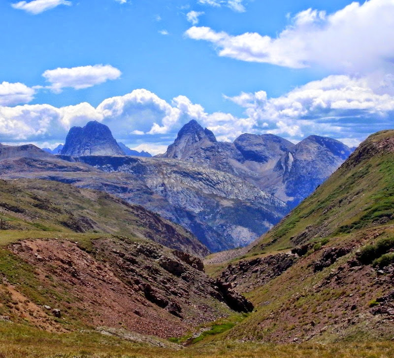
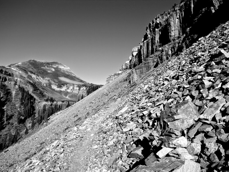
Where are we – on the Colorado Trail.
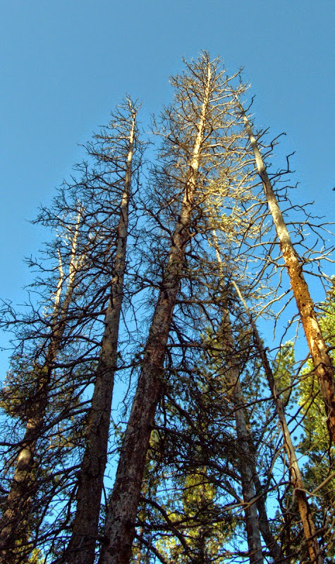
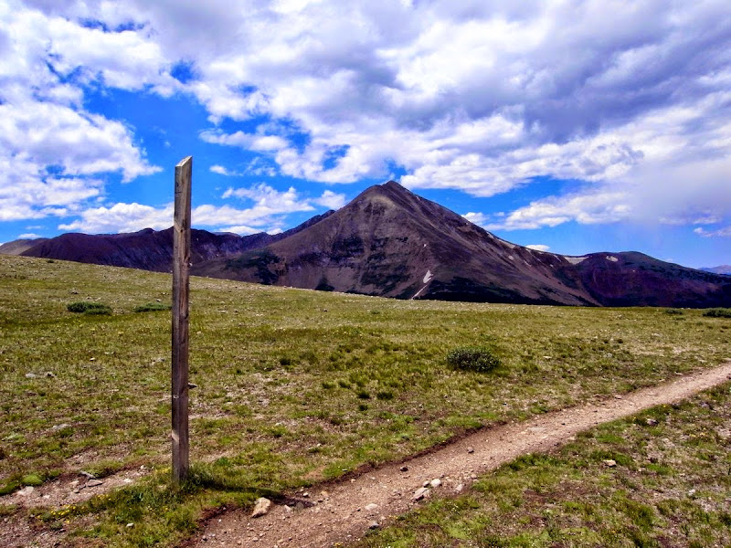
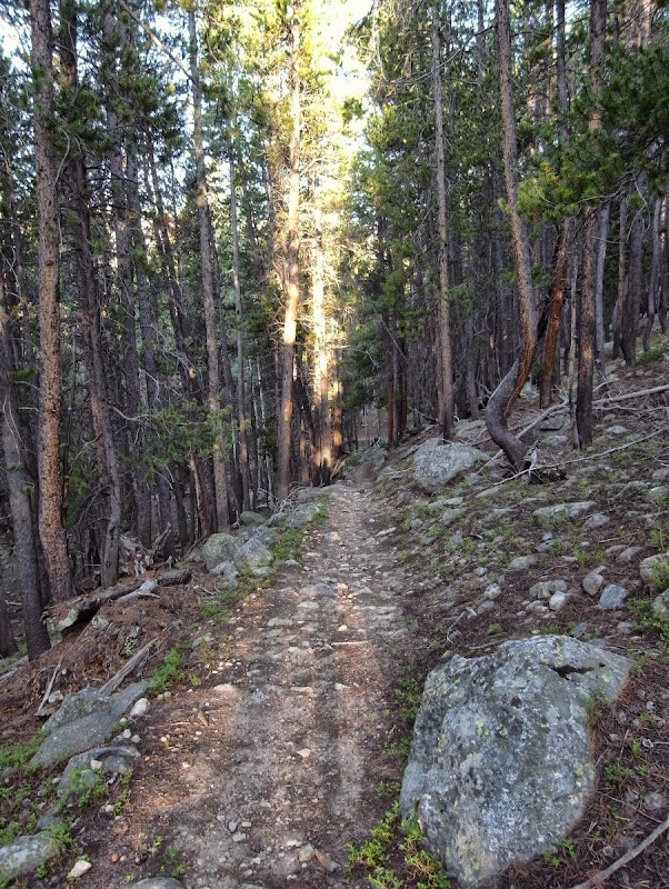
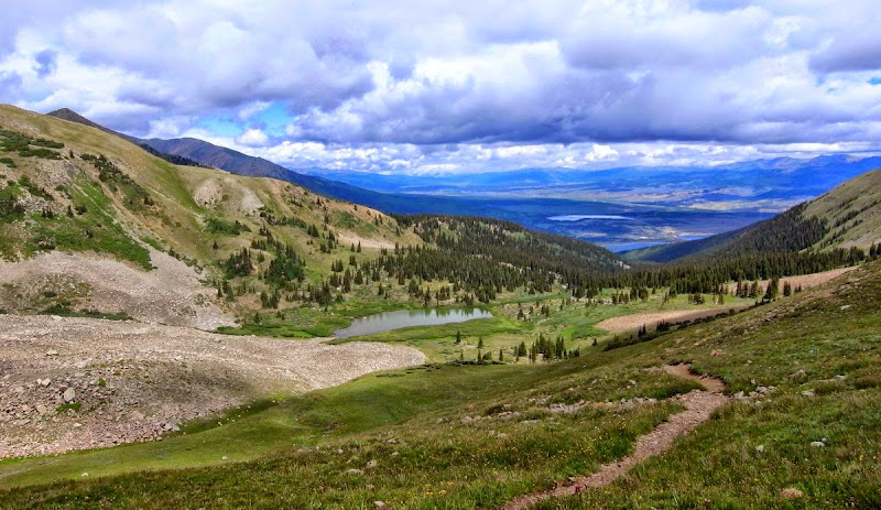
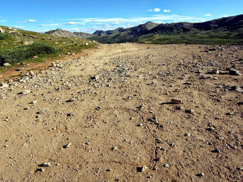
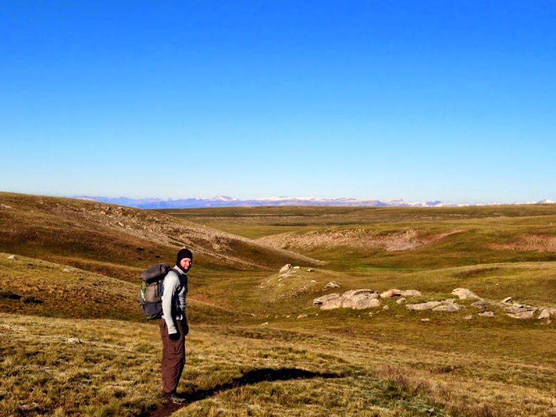
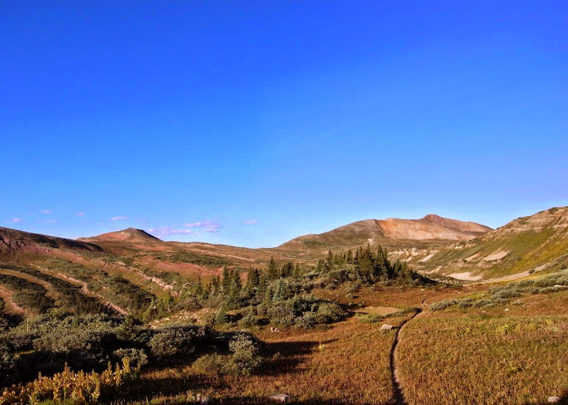
Stretching 486 miles from the suburbs of Denver and ending at Durango, this ‘harder than I thought it would be’ walk sits above the 3,000m (10,000’) contour for most of its distance. This is pretty high for someone who wilts at 2400m.
Beginnings
I’ve landed in Colorado with a need for movement in a dream borne of dissociation; familiar patterns cast in a new light.
I’m not certain about the whole thing, or anything…somewhat random. Officer Johnson turns me back at immigration as I’ve not done ESTA; I’m that detached. Perhaps they were right to worry. I fill in an electronic form on a kiosk PC under pressure and with help from stewardesses who are kind and can see my need – otherwise it would have been next plane home. Just a little embarrassing.
It goes through; I’m in, with a suitable (and deserved) admonishment.
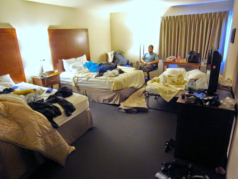
Denver.
A hotel close to REI…..a wander away through evil heat. Goodies sourced, AT&T, then USPS, and my chattels are in a bounce-box and away.
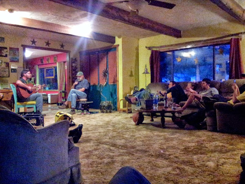
My sister thinks I’ll be murdered in a basement by the Trail Angel I’m meeting. But Mychele is lovely, although when we get in the house, ‘you’re in the basement’ she says. Ah. Her husband Michael and dinky dog Zoey are equally welcoming. Then a movie, dinner with their friends, and a reasonably early night presage an early start tomorrow.
Meeting a stranger, giving them a bed for the night and then driving them to the start of a long trail is commonplace for Mychele; to me it seems over and above the concept of kindness. Something I’ll see again on this trail.
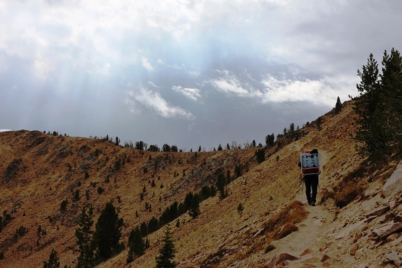
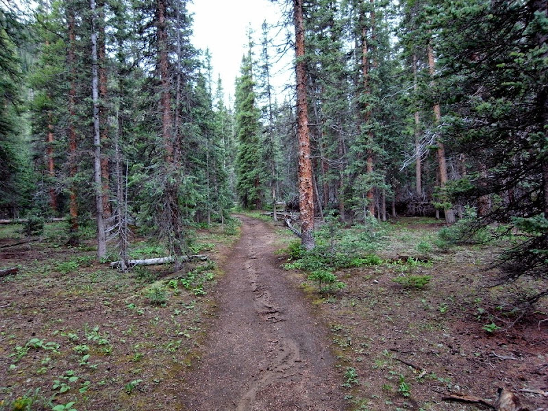
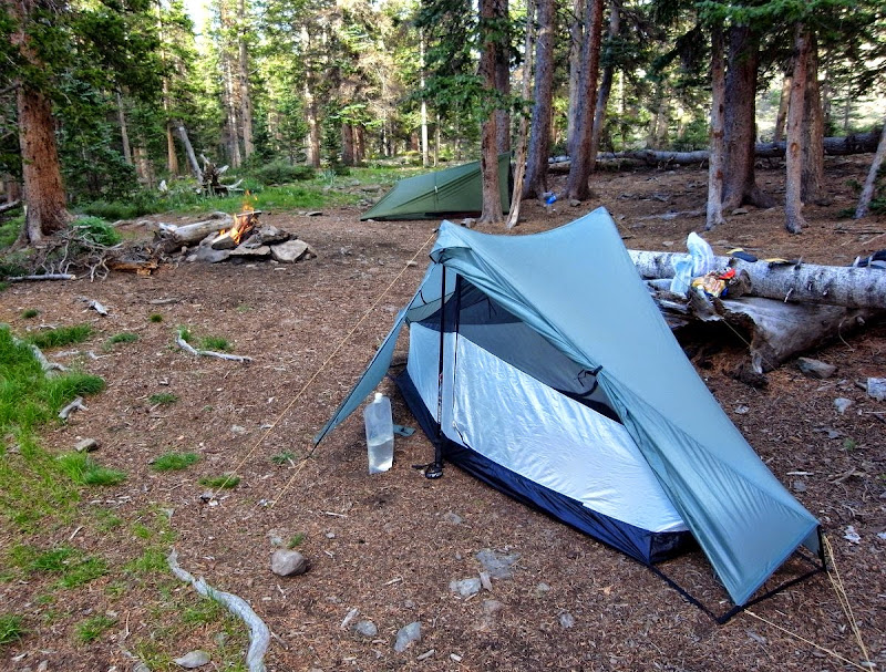
The start: 19 miles and 1000m
But here I am. Truly alone now. I feel like I don’t care about anything; I do of course, and I’m not truly alone, but I am beyond tired, and need to walk. Towards what?

Oh good. I’ve come all of three miles.
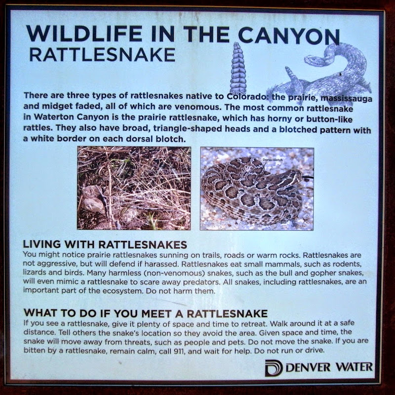
Happily I don’t meet a slithery friend.
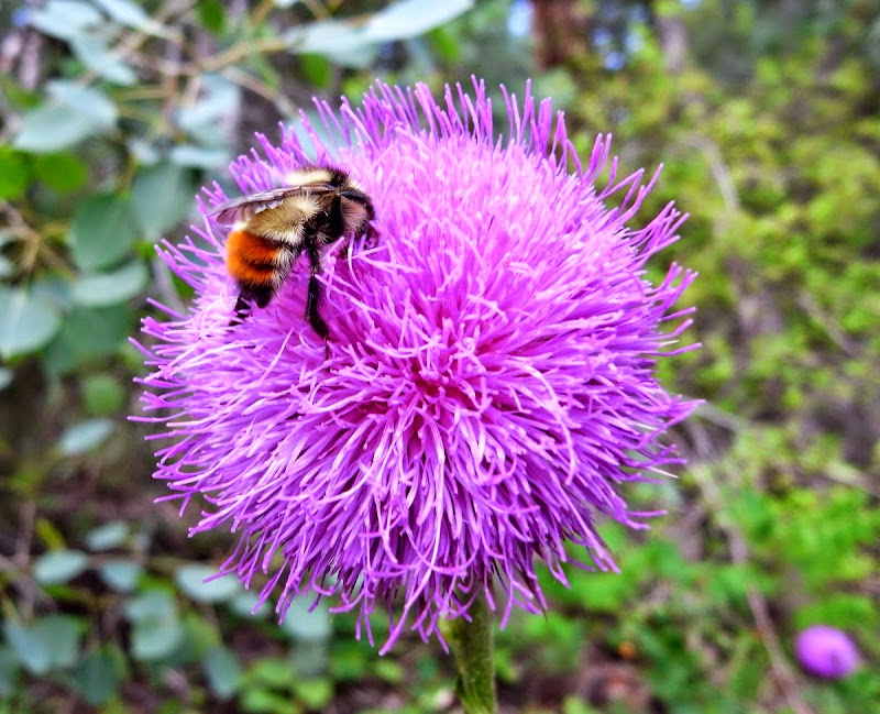
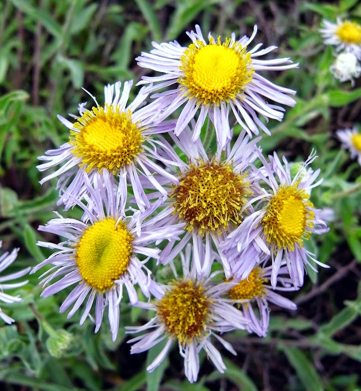
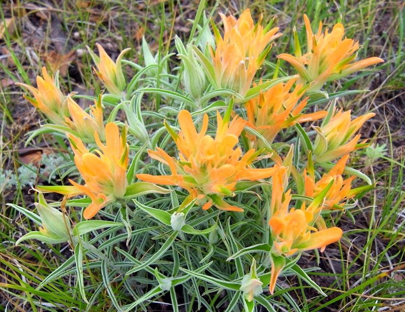
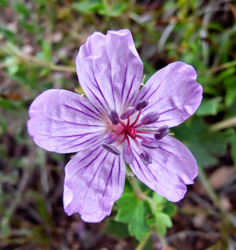
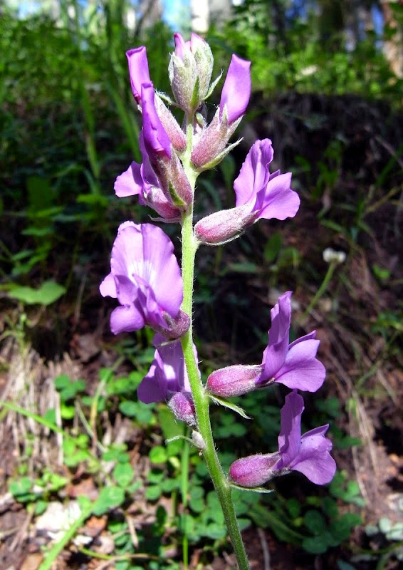
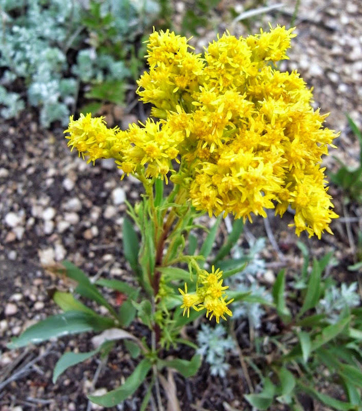
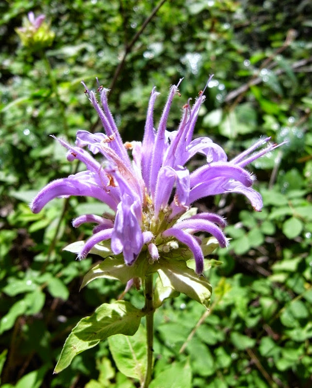
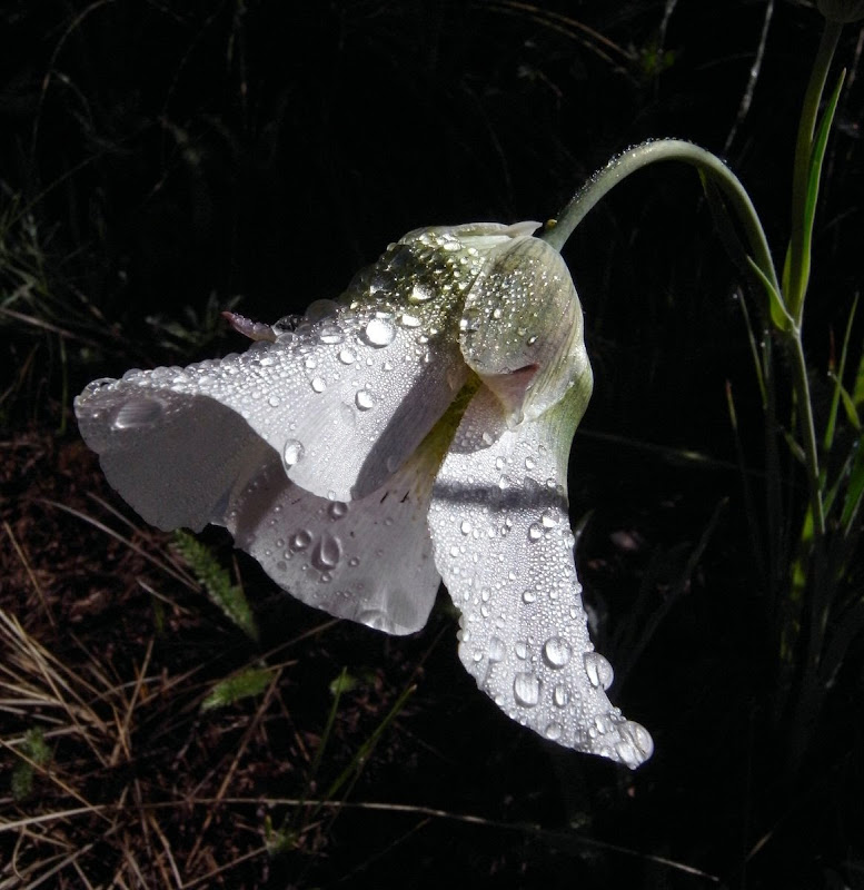
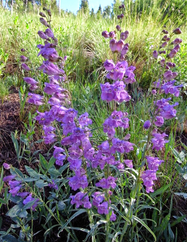
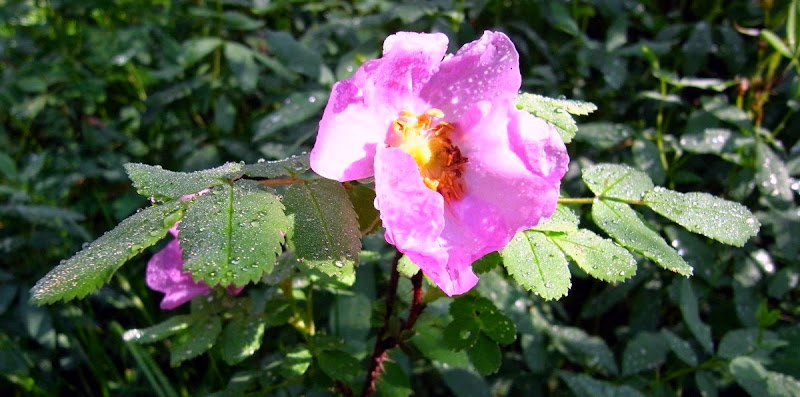
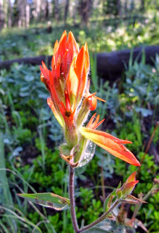
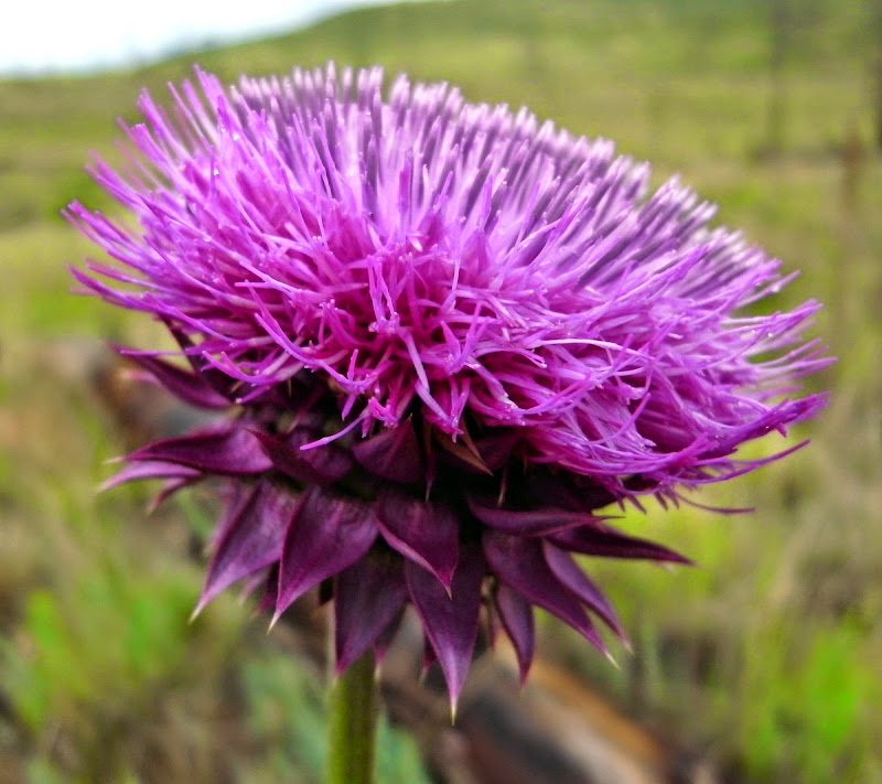
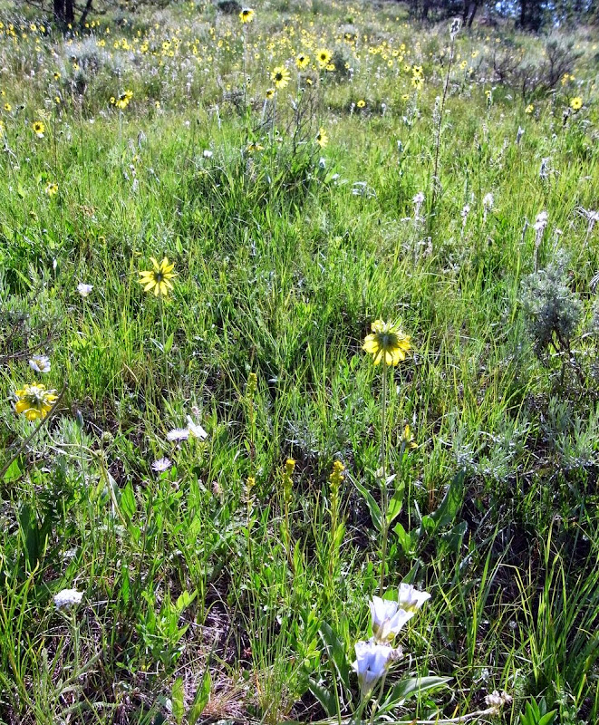
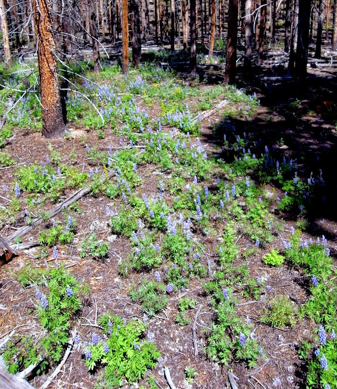
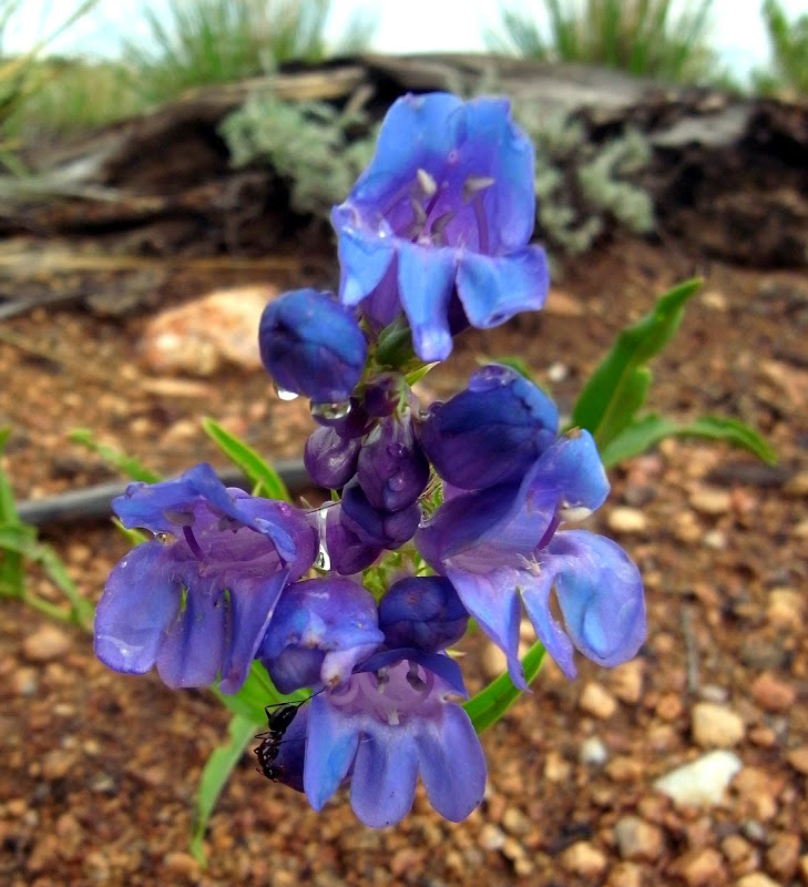
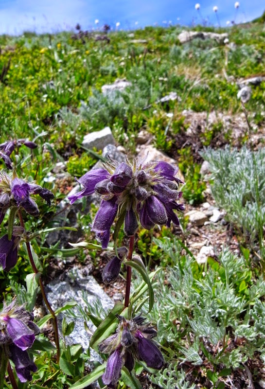
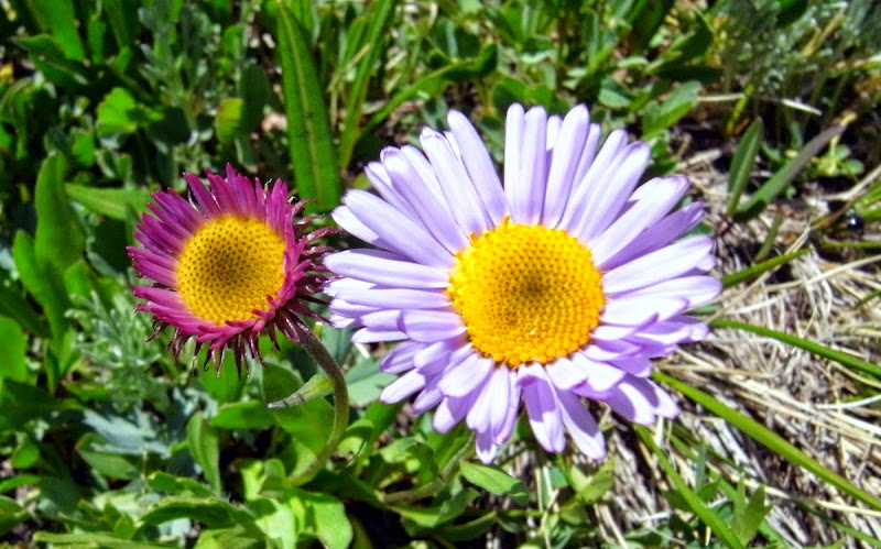
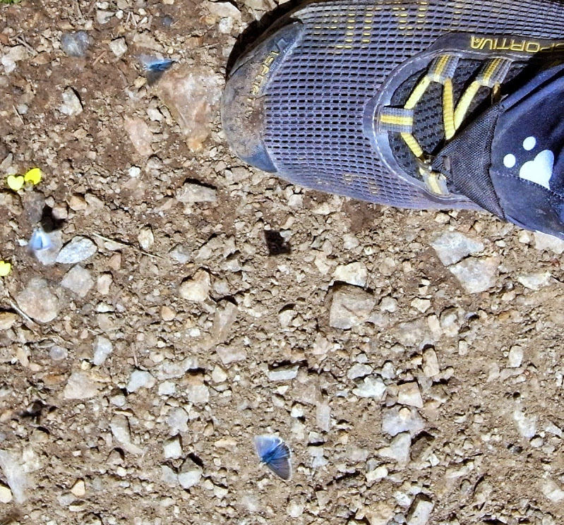
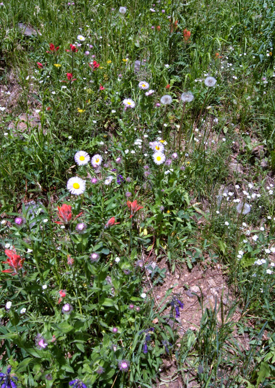
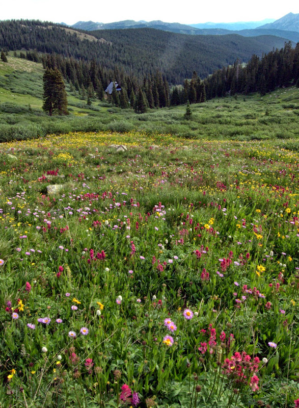
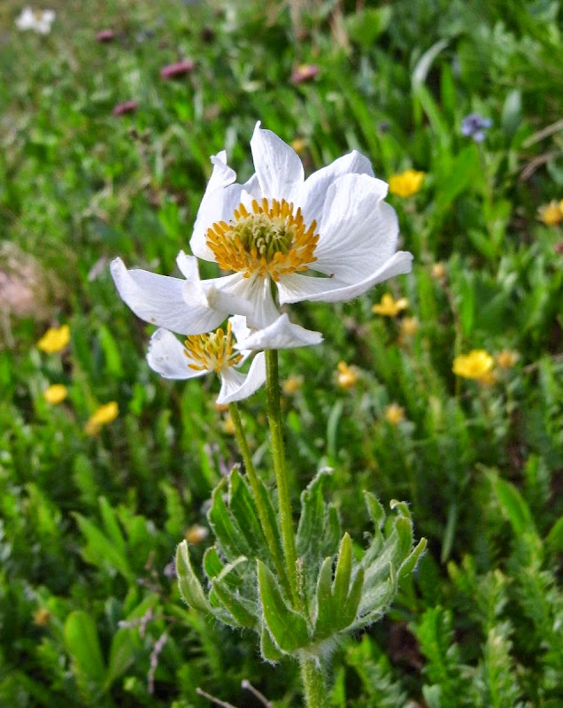
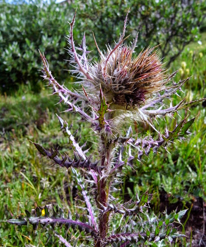
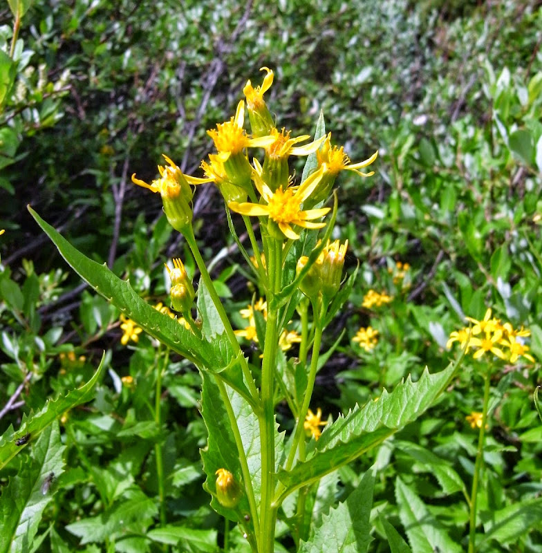
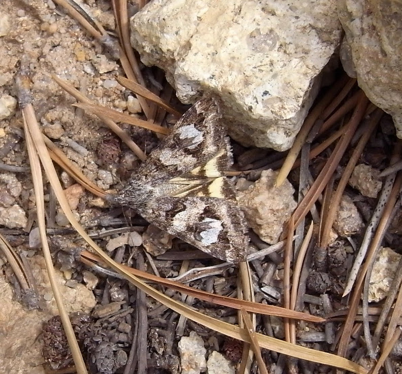
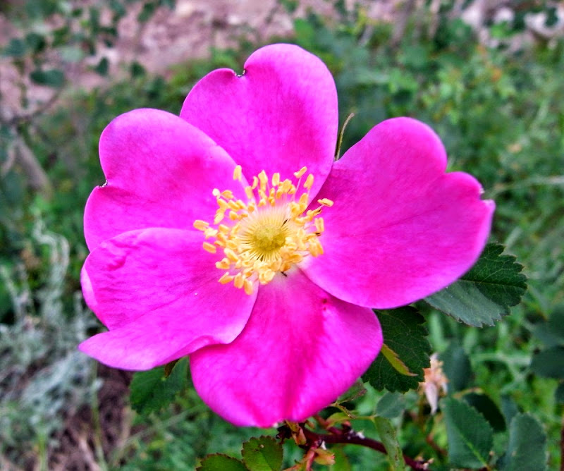
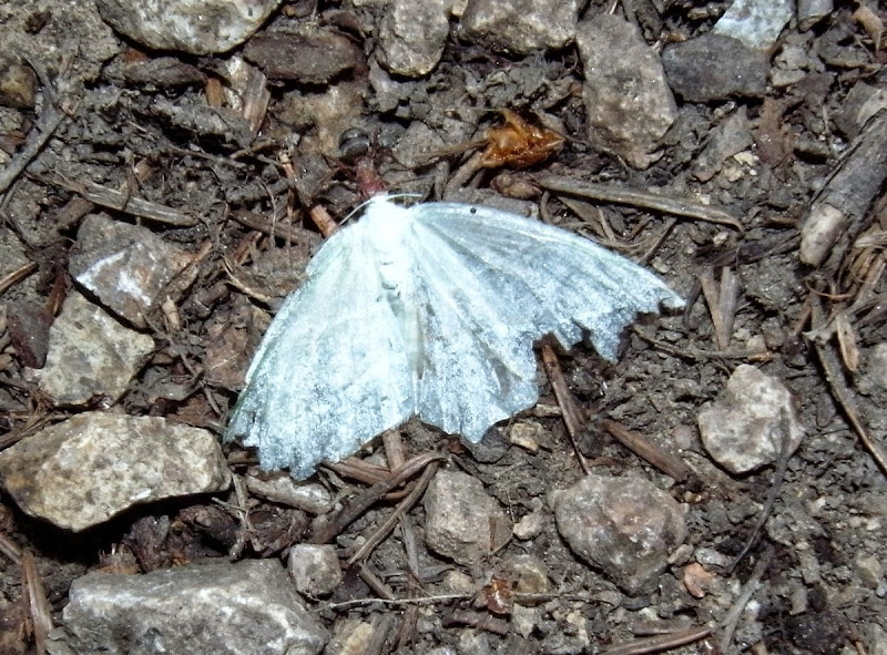
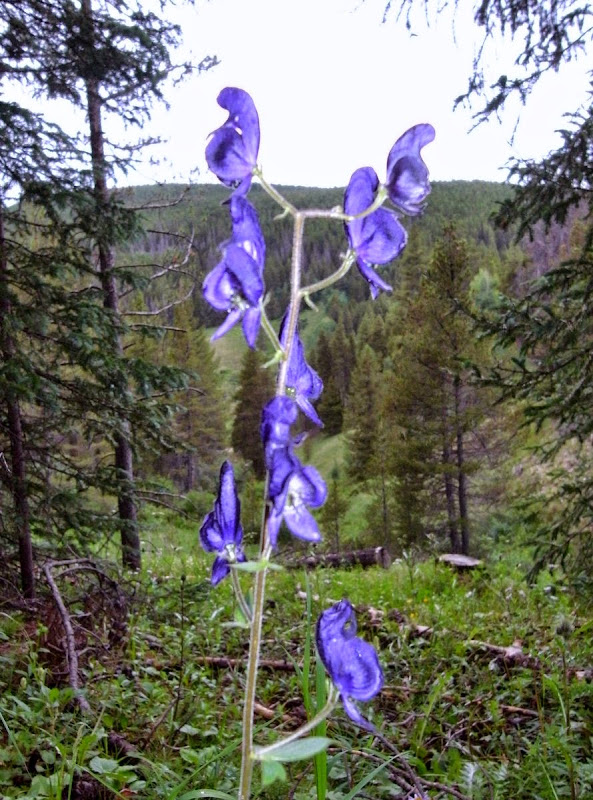
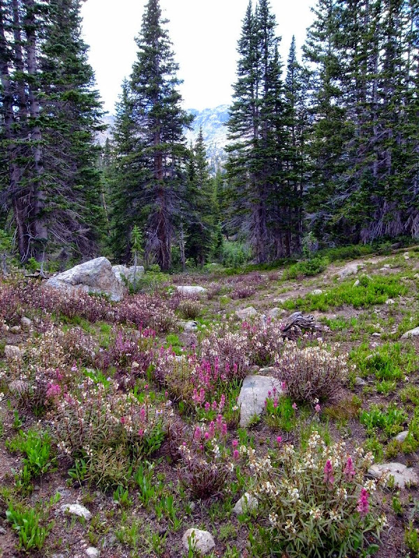
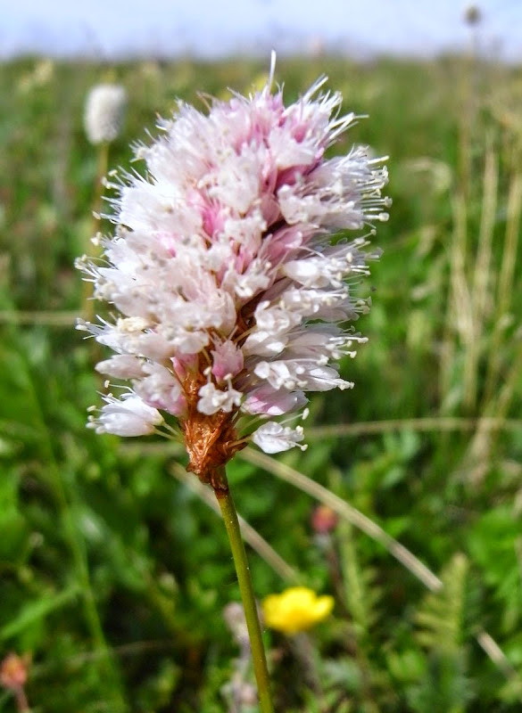
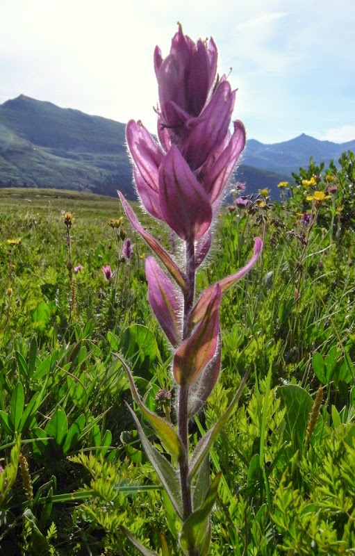
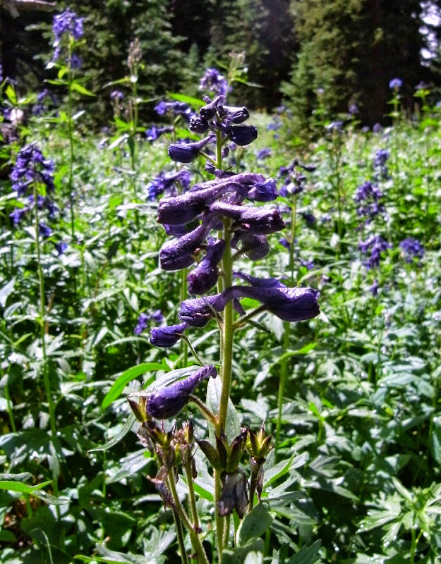
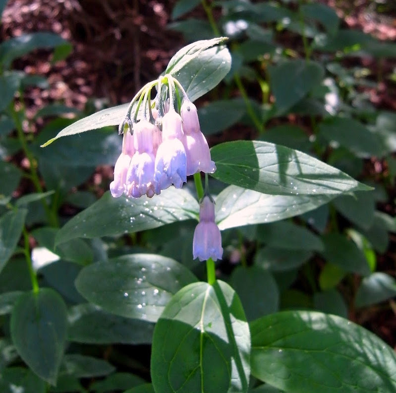
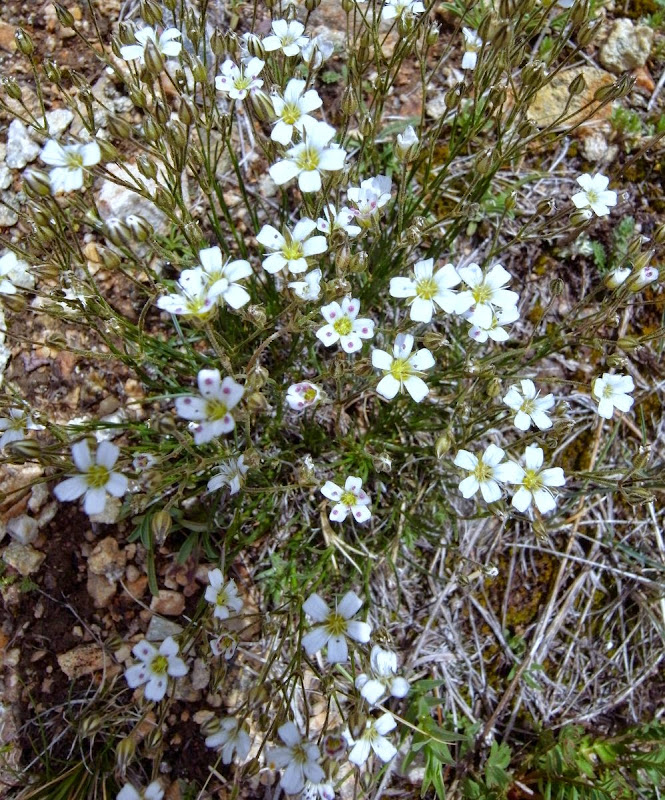
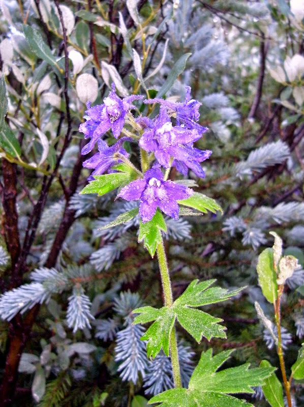
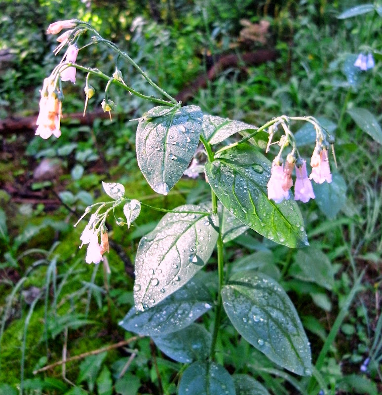
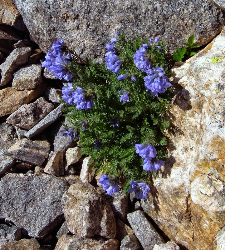
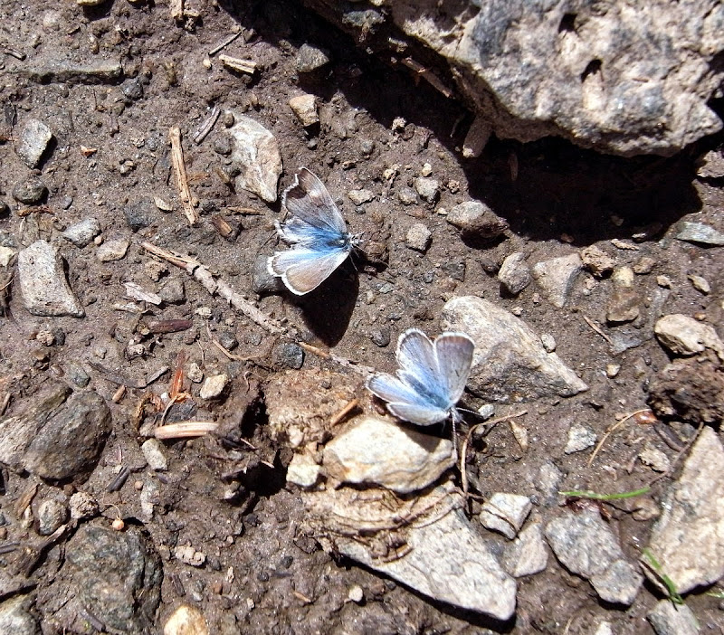
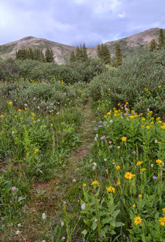
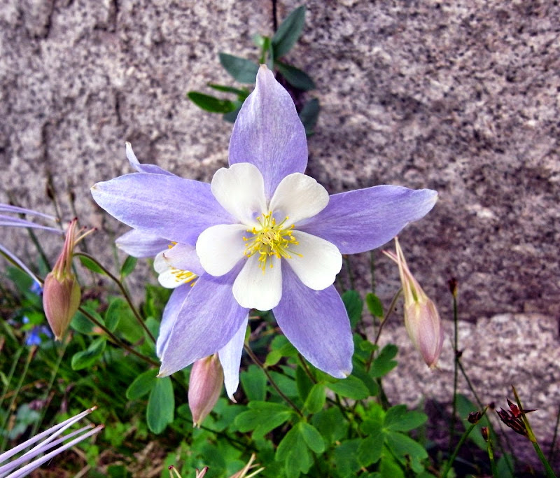
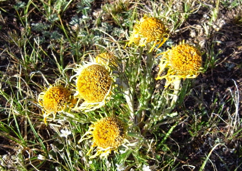
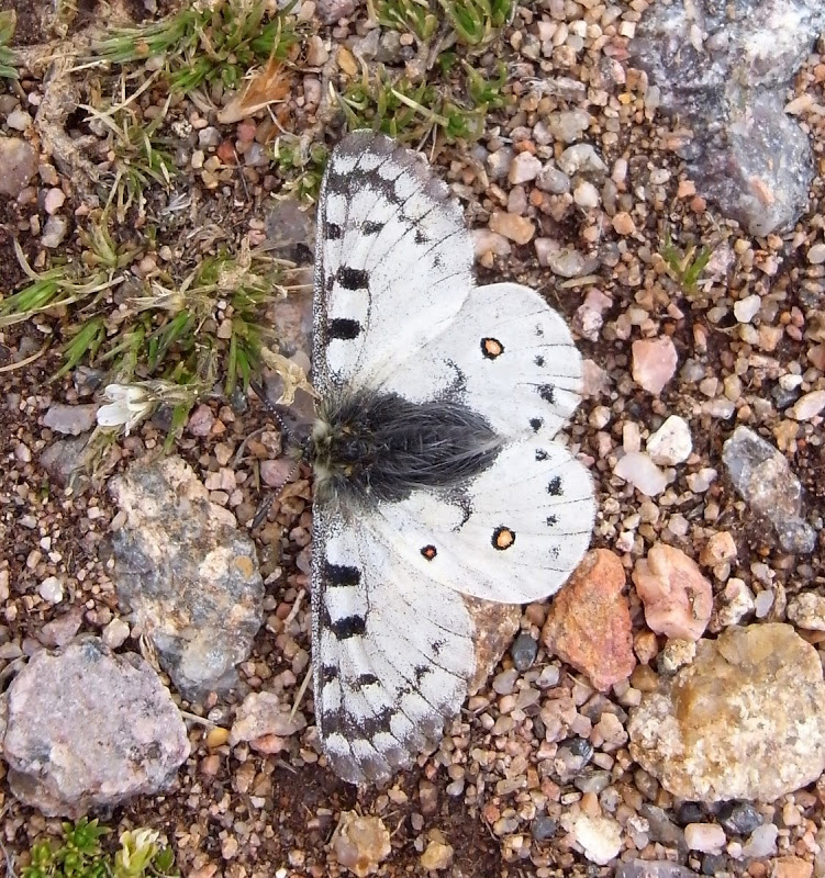
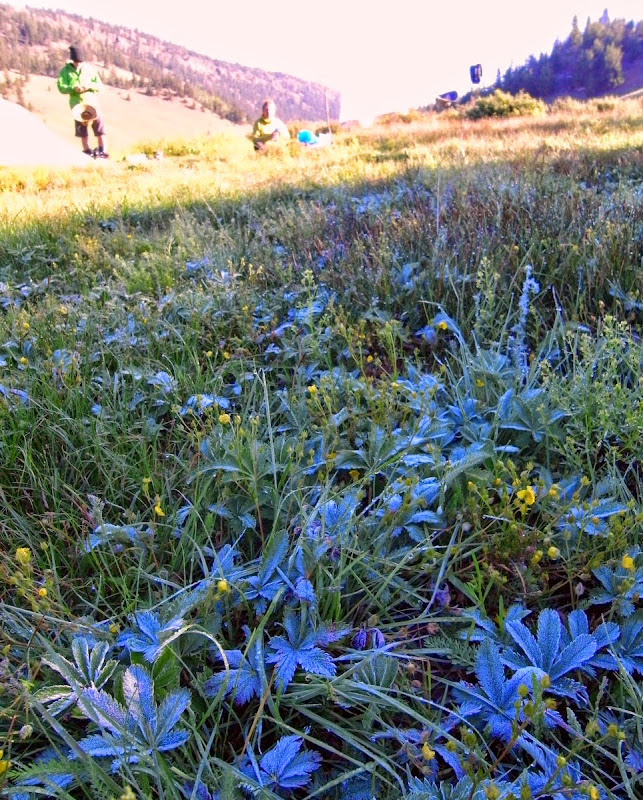
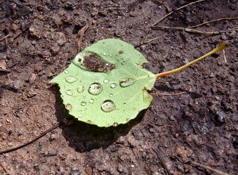
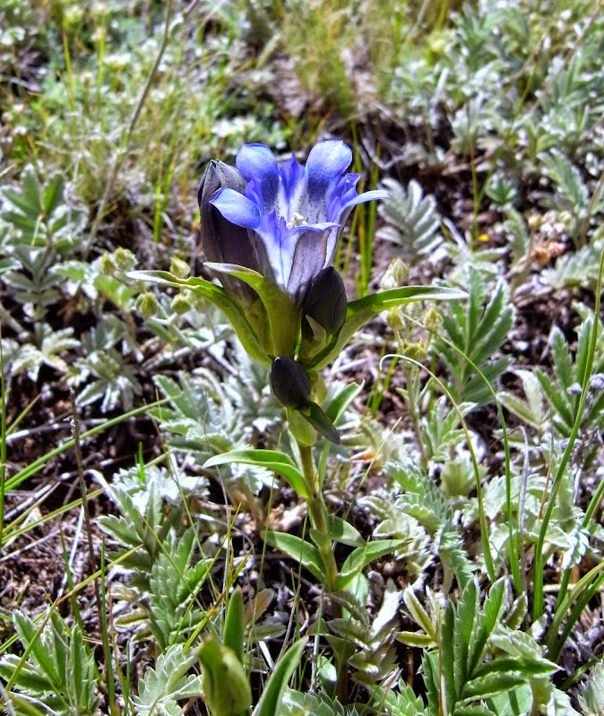
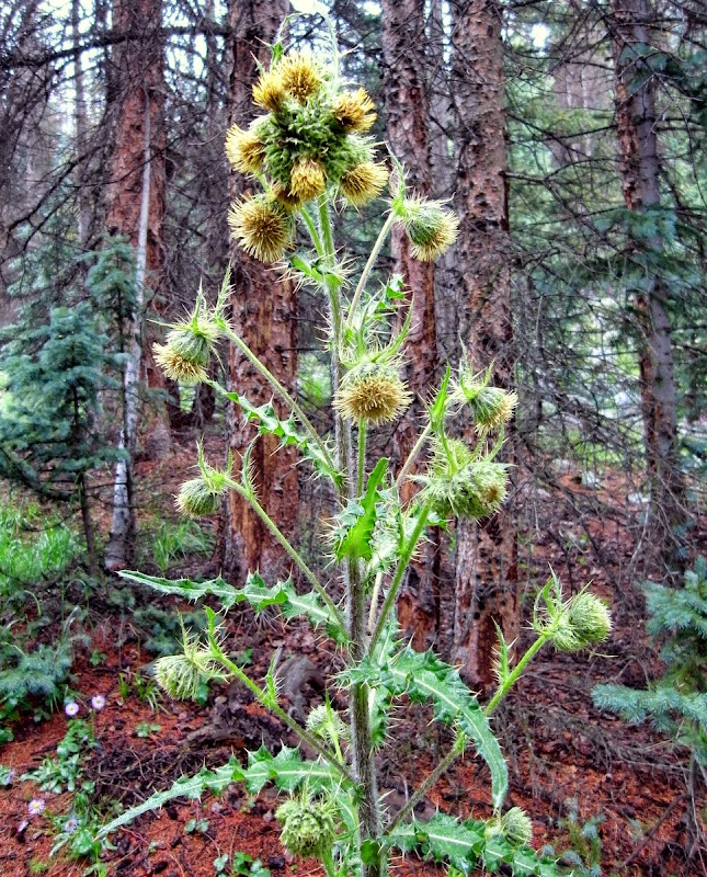
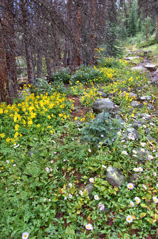
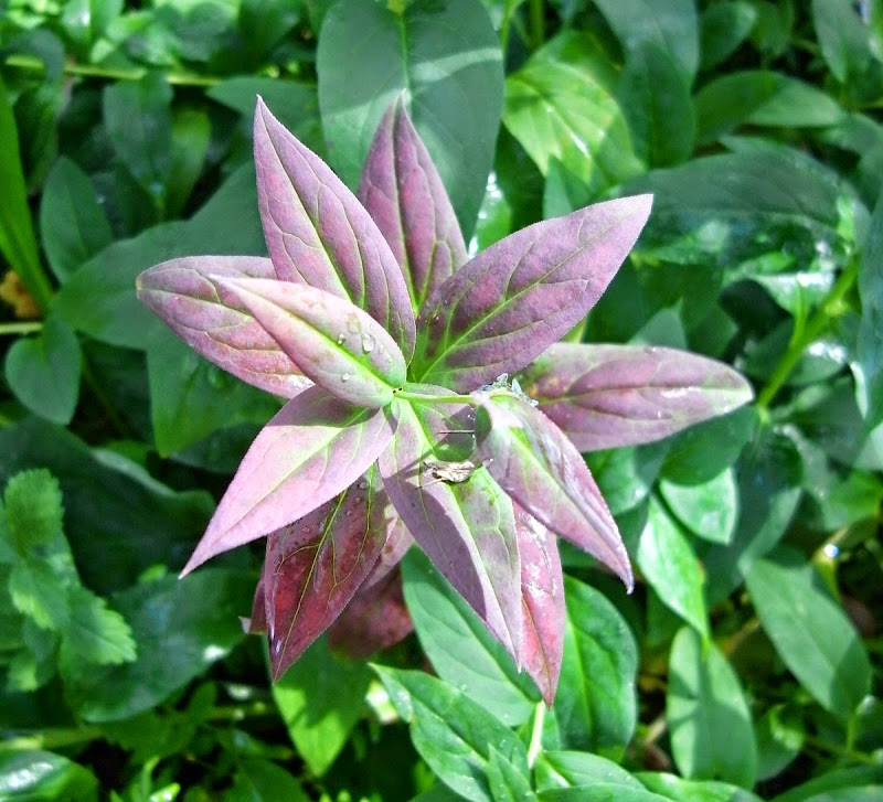
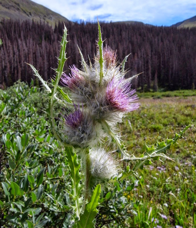
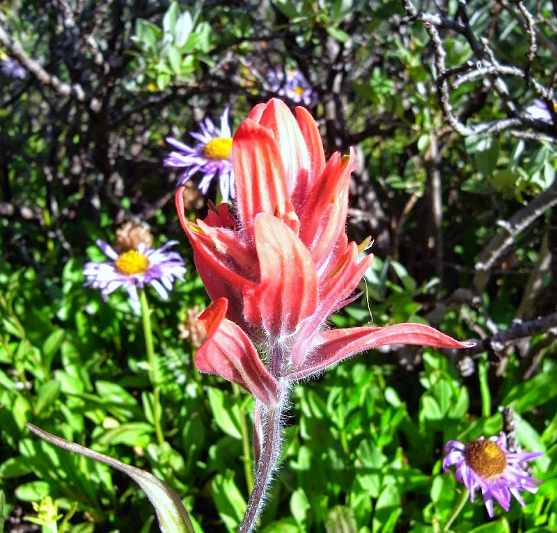
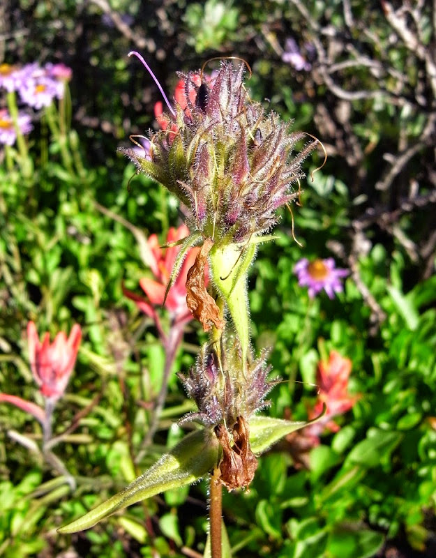
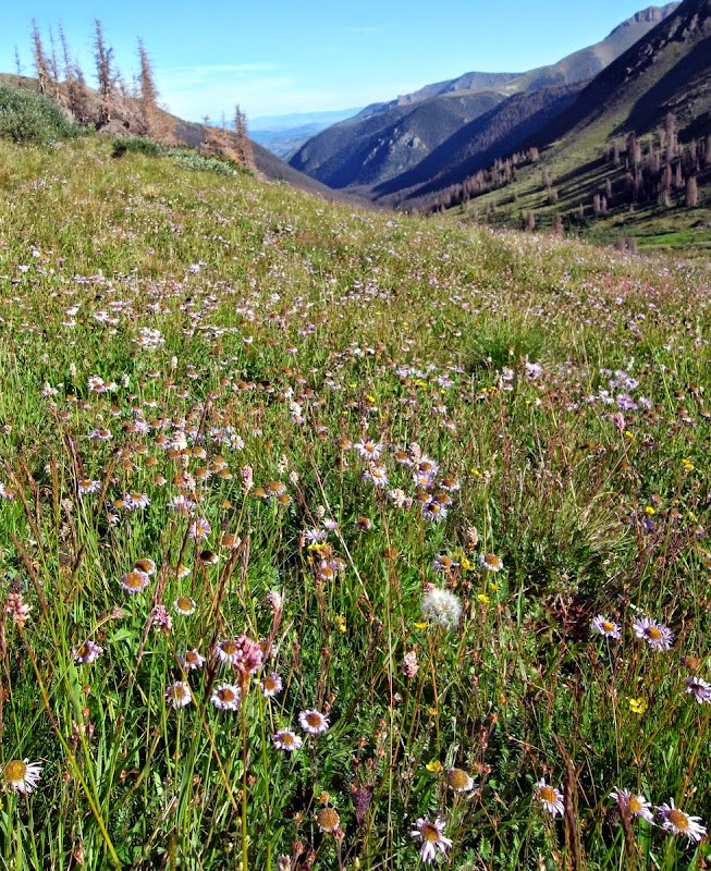
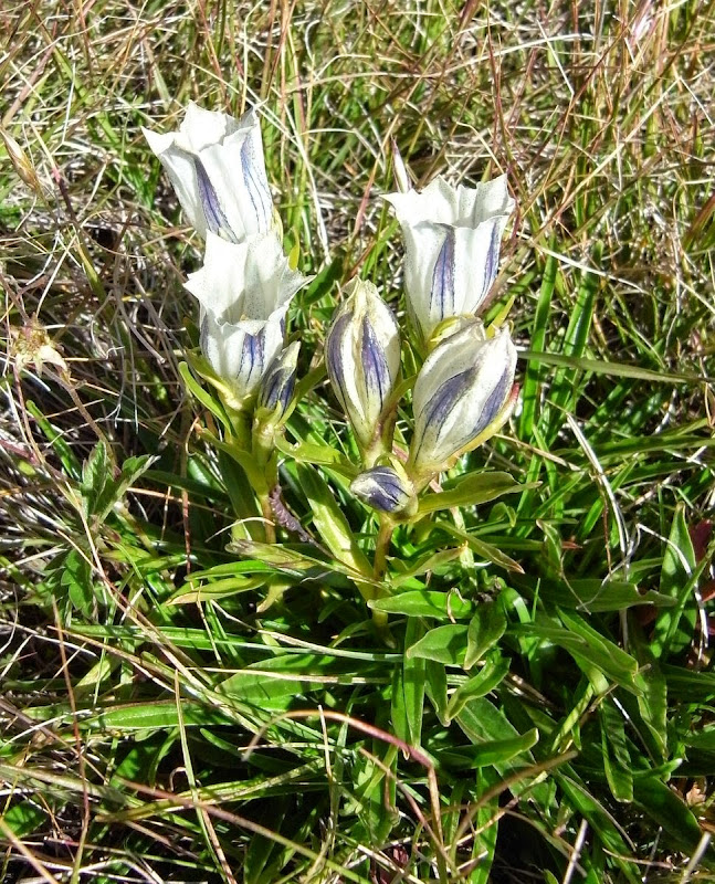
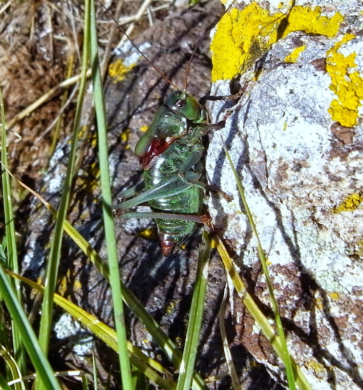
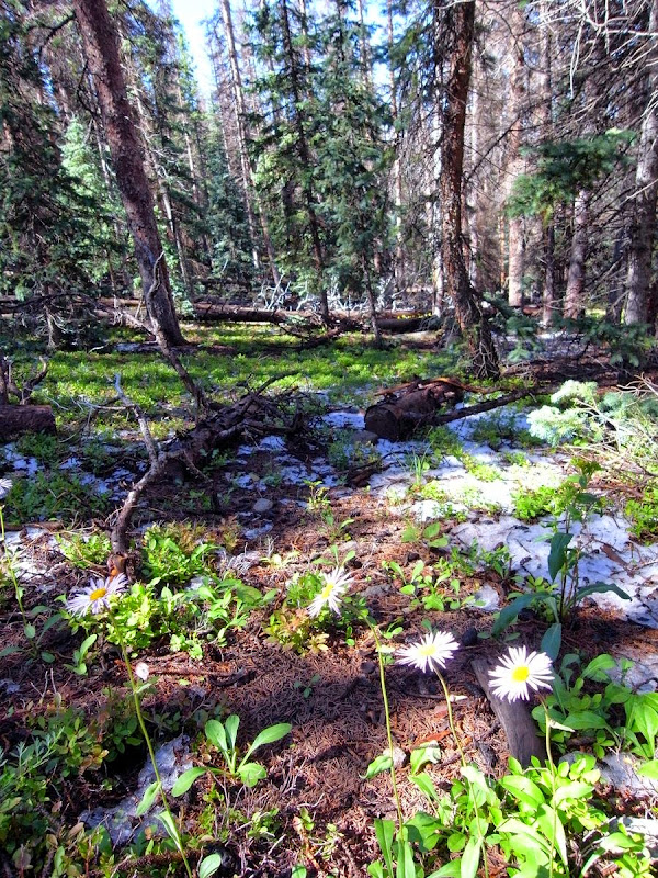
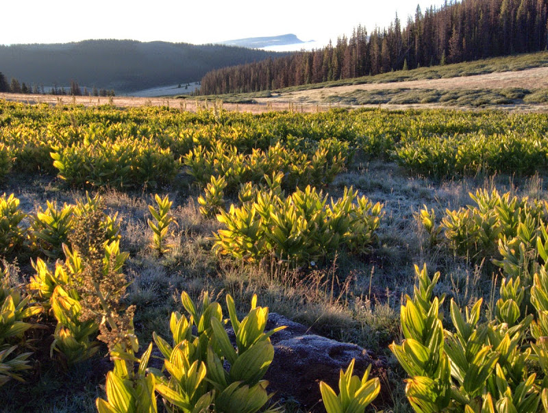
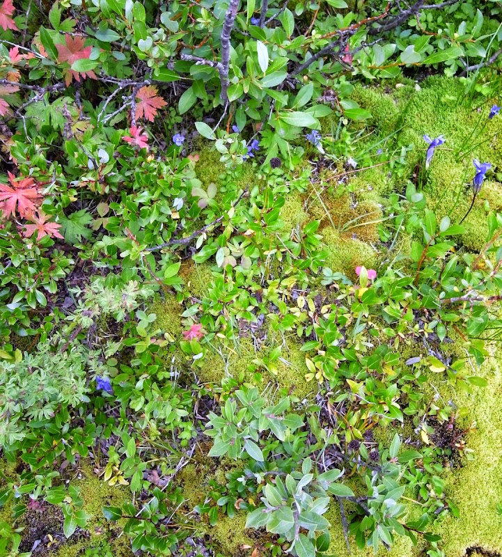
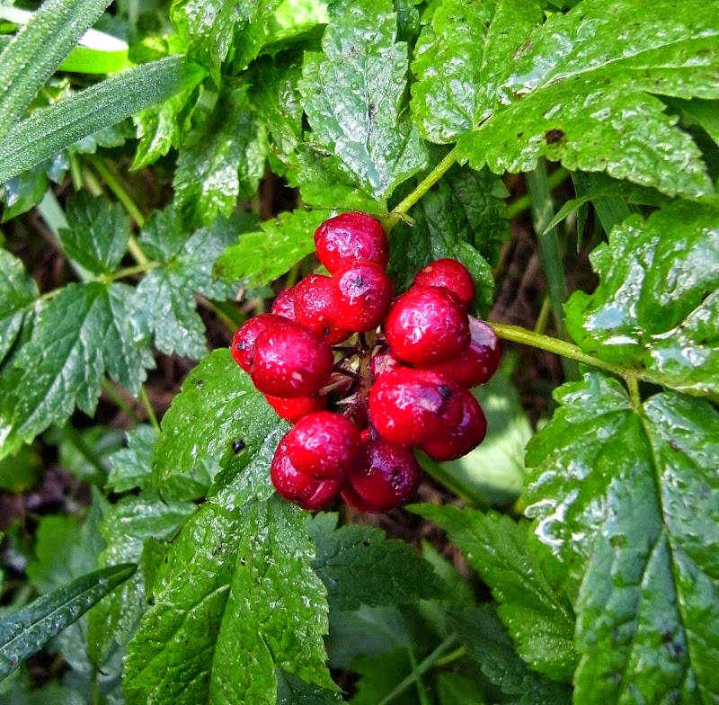
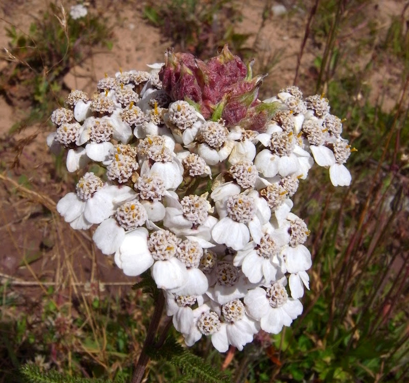
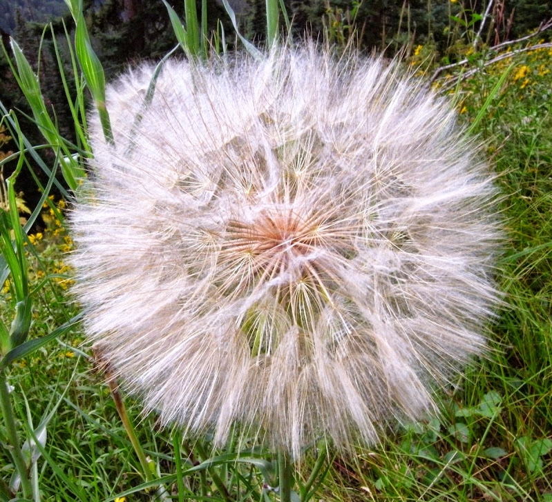
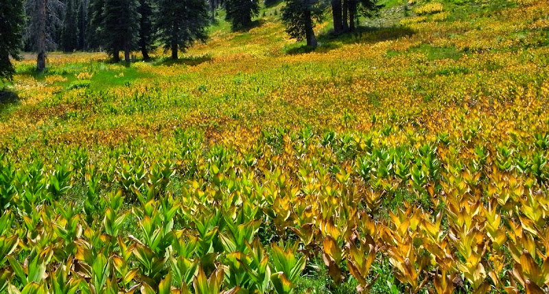
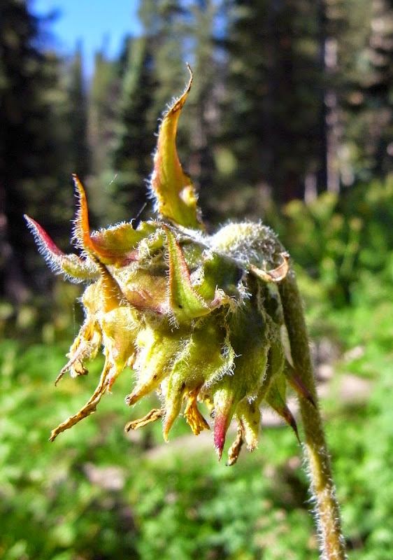
The wildflowers are truly stunning, plentiful, bright pinpoints bedeck the trailside.
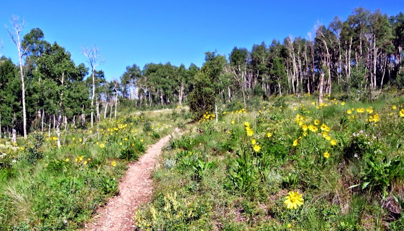
Even here.
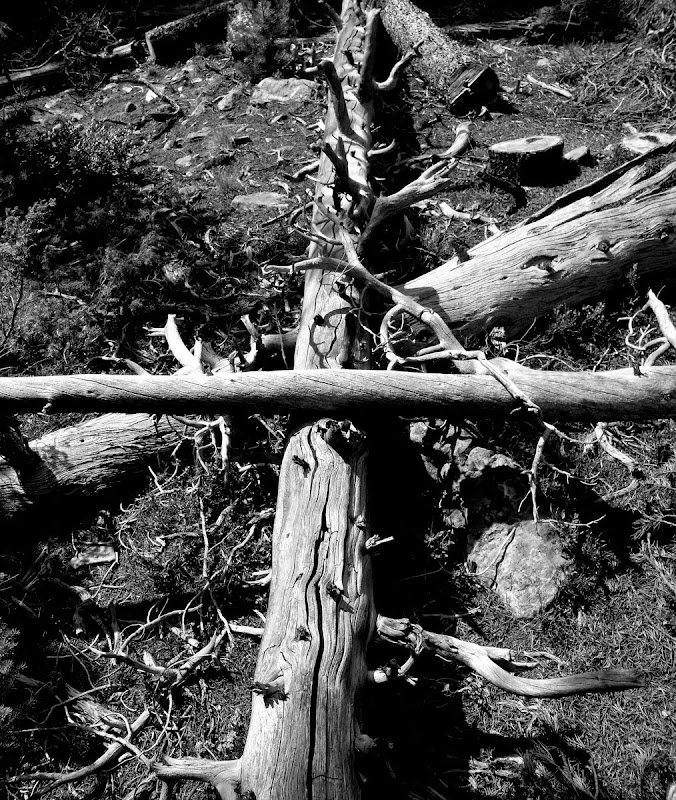
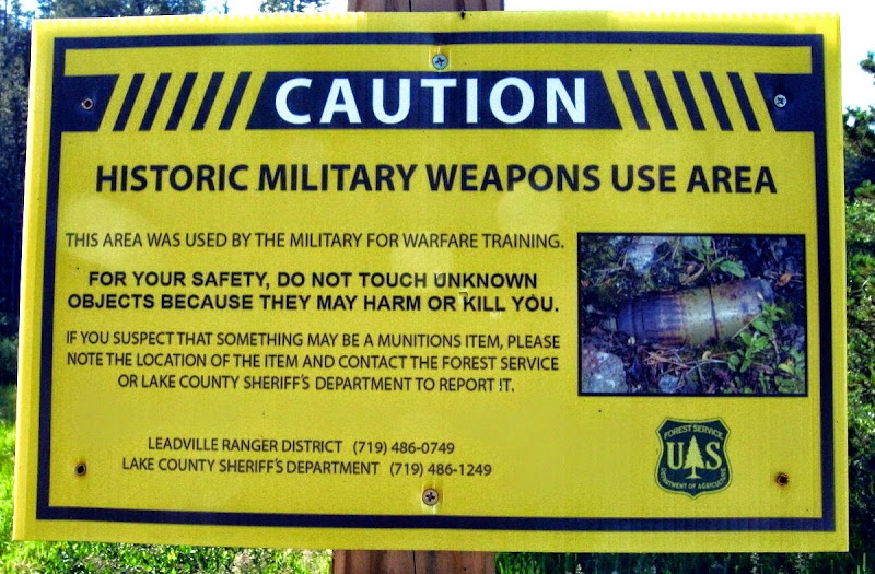
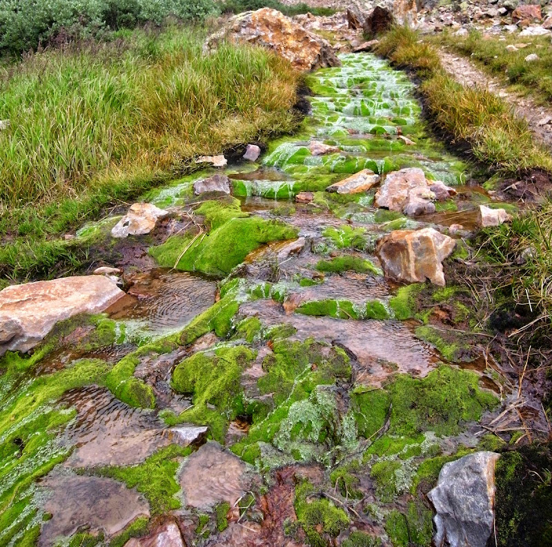
The wildfire that decimated this area was 18 years ago. Regeneration is slow. The CT Databook warns about complacency here…no water, no shade, and relentless exposure to an unfettered sun turn many to crisps.
I meet the Texas couple who had been dropped off by Mychele the day before yesterday; they can’t believe I’ve walked to this point already. I also meet Josie with whom I’ve swapped a few pre-trip messages. Her dog’s paws are sore and he’s going off trail; I’ll see her again.
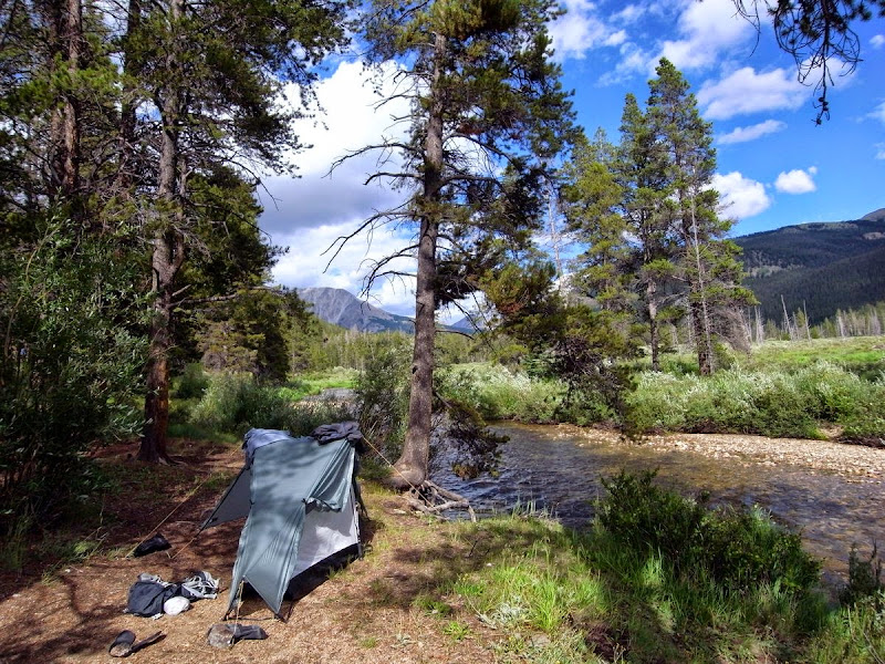
I pitch around 15:00, seems early but as Mychele was kind enough to get up super-early so I could avoid the heat it is enough for the day.
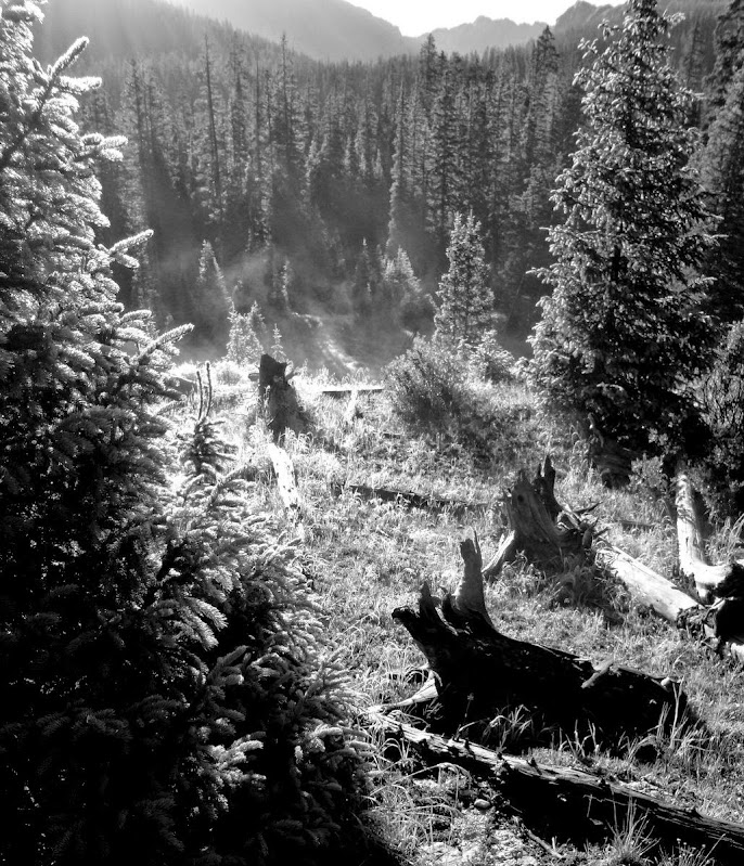
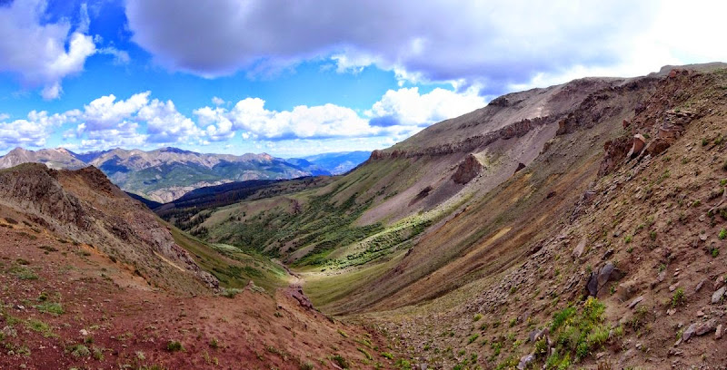
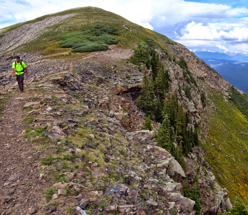
Burn zone: 22 miles and 1200m
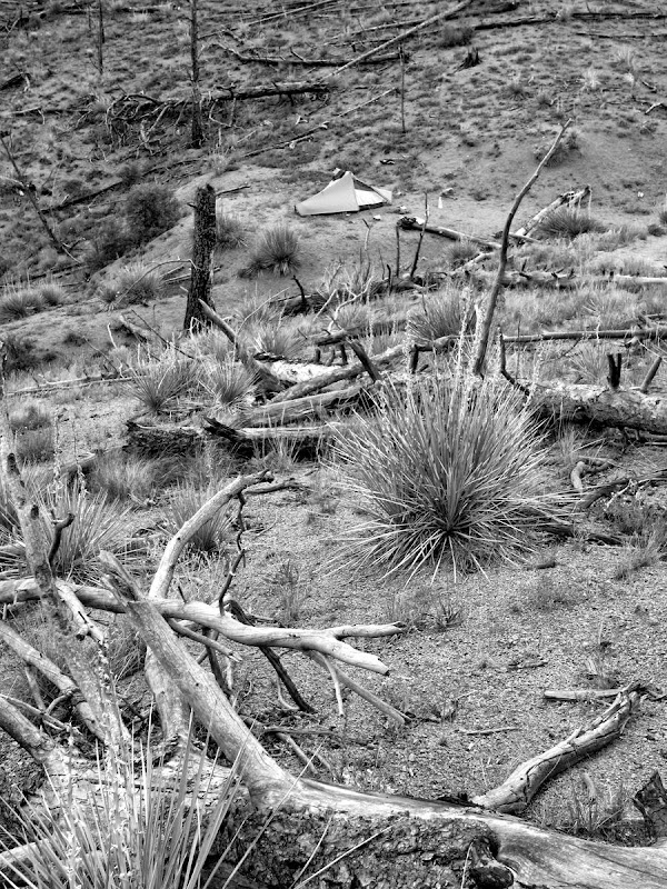
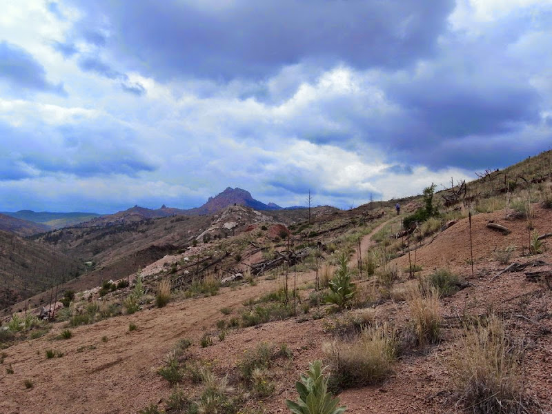
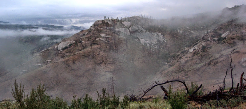
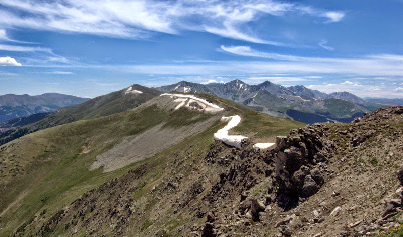
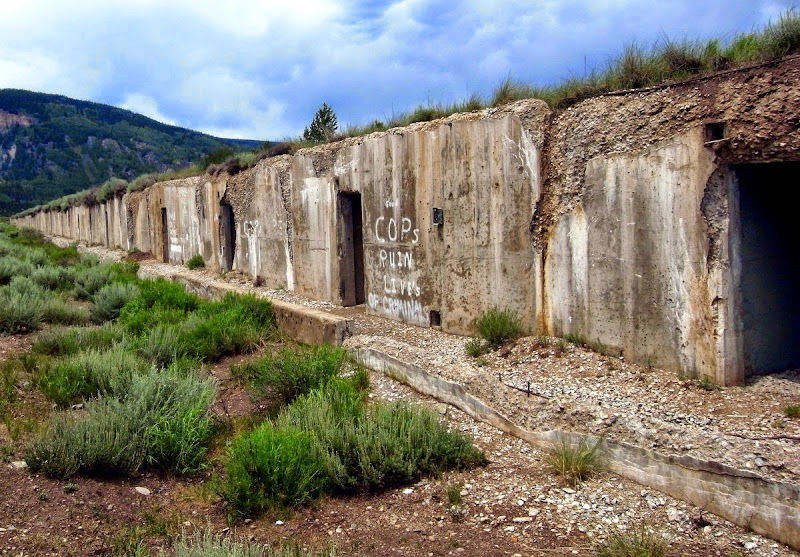
The Top of the World Ridge awaits; quite the name to conjure with. The fire that swept through in 1996 denuded 12,000 acres of this area. Some luck still holds for me…before I flew out there were around 150 miles of the trail closed by wildfires; I walk the whole route restriction-free as the trail is opened up before me.
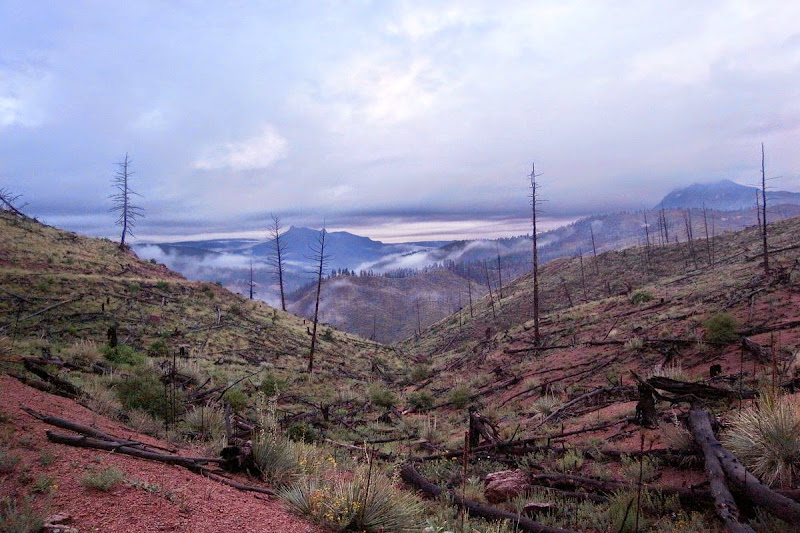
Happily it has been pelting down all night thanks to a very loud thunderstorm; the burn area is no savage desert, but a moist desolation of writhing mists, damp flowers, and the smell of long ago fire.
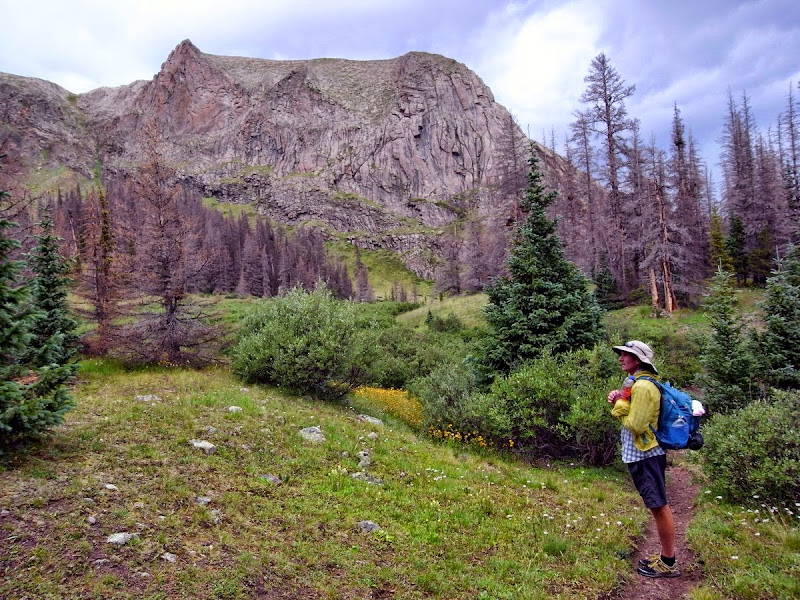
I meet Bart, a landscape photographer doing a book on the CT; his pack is way huge. We will meet off and on until we last see each other on the penultimate day of the trail – a month away.
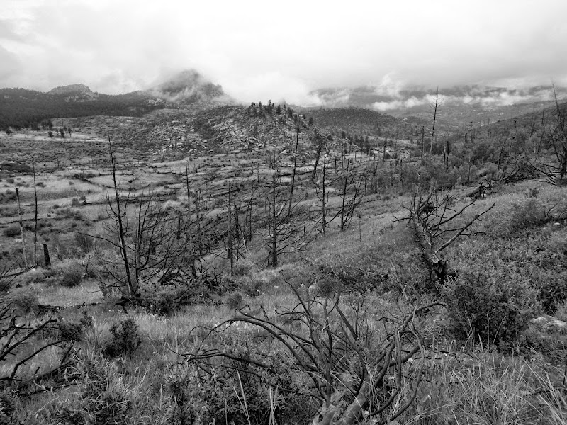
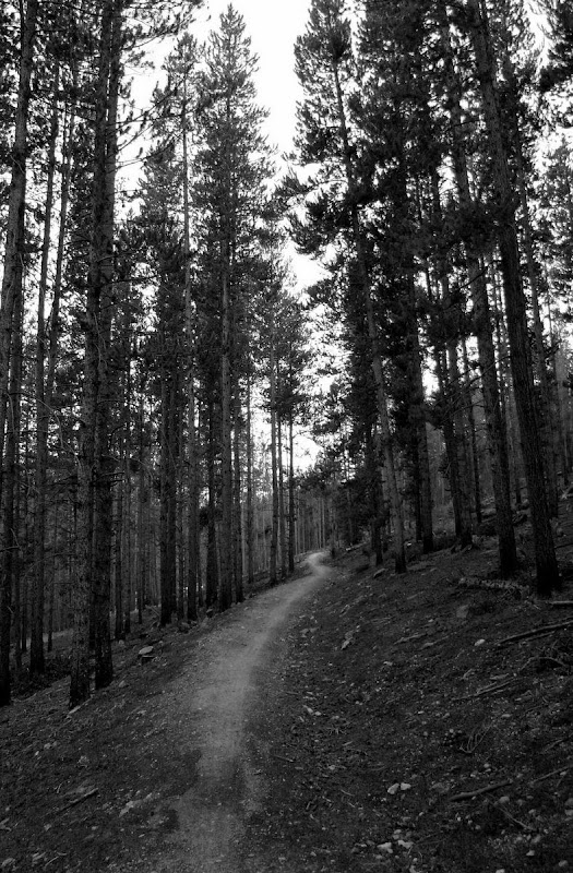
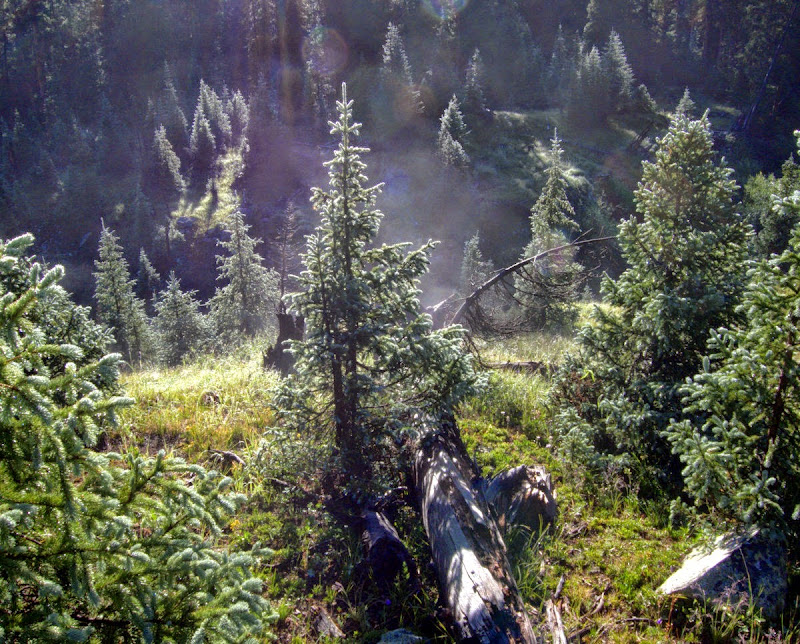
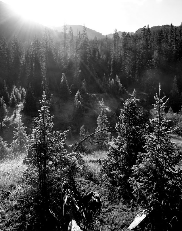
It’s a fine landscape to walk through – unique in its beautiful bleakness. Ere long however it is back to reality – reality being trees. And ‘critters.’
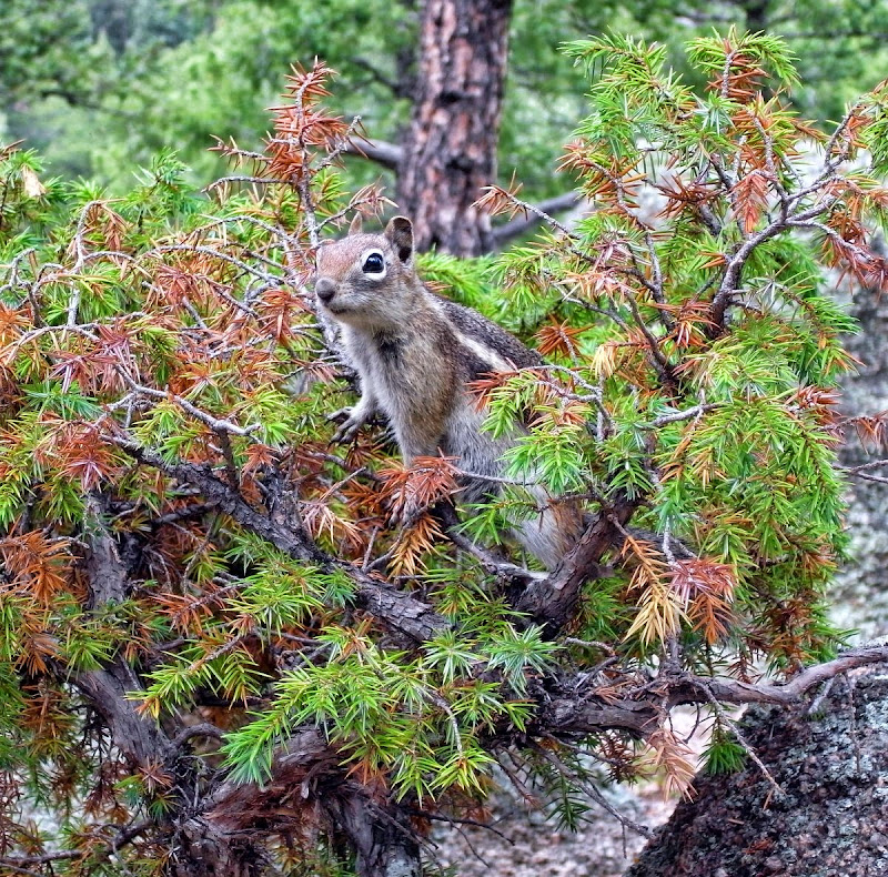
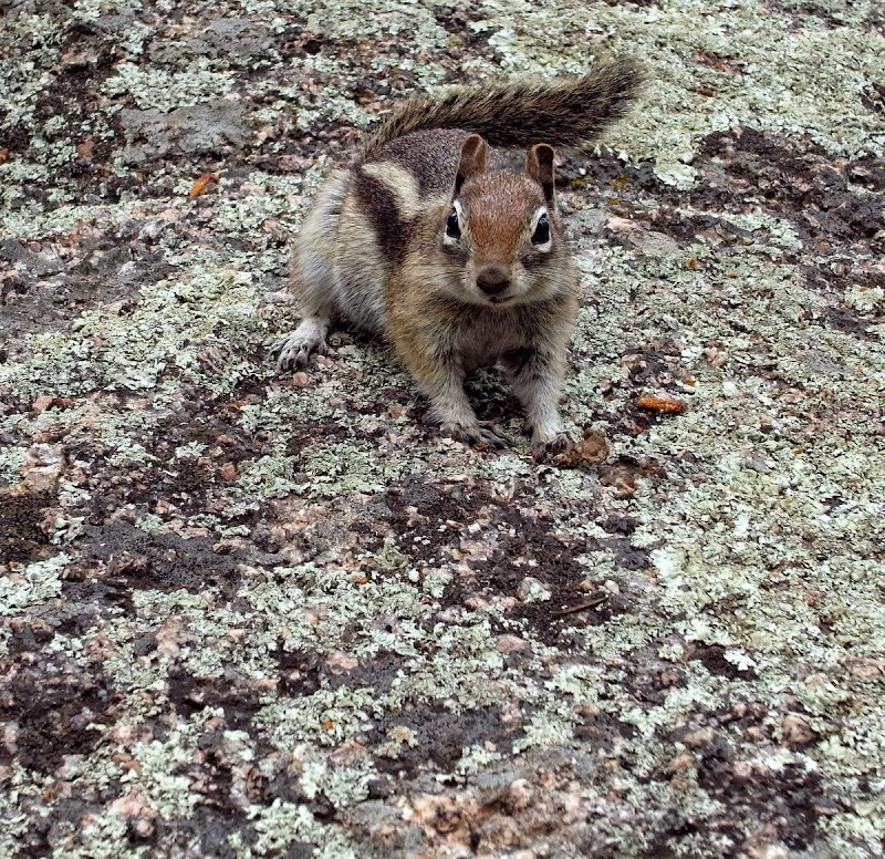
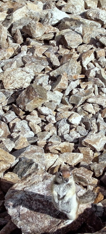
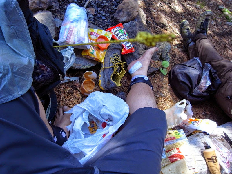
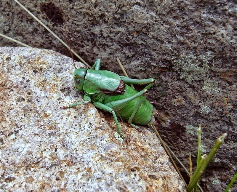
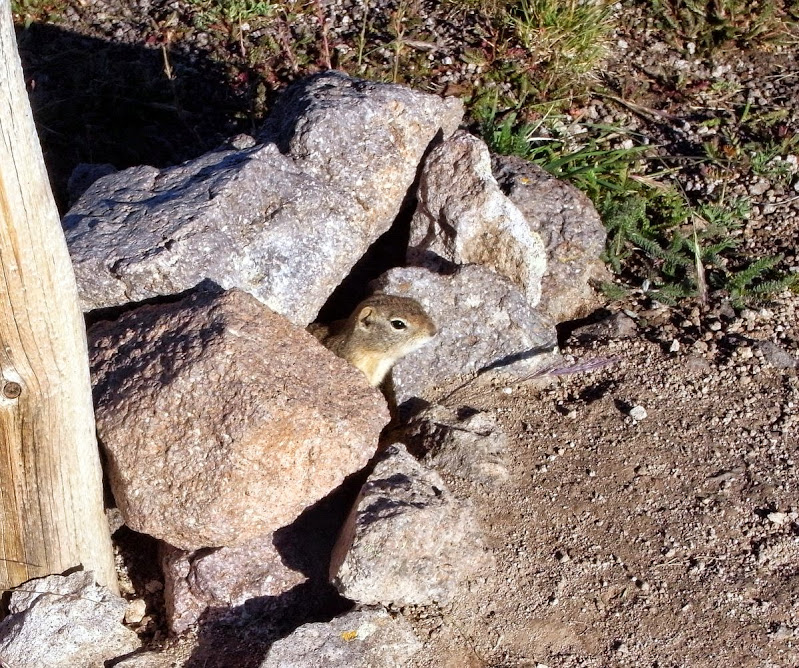
This one appears to enjoy peanut butter Clif bars, before I kill him.
Long days and late afternoon heat-induced torpor arrive with a hilltop clearing. Tomorrow I’m off – down to a town for some food and a change; too long alone pales…get used to it I must.
Bailey: Food, shower, beer, a few hundred yards and a hitch
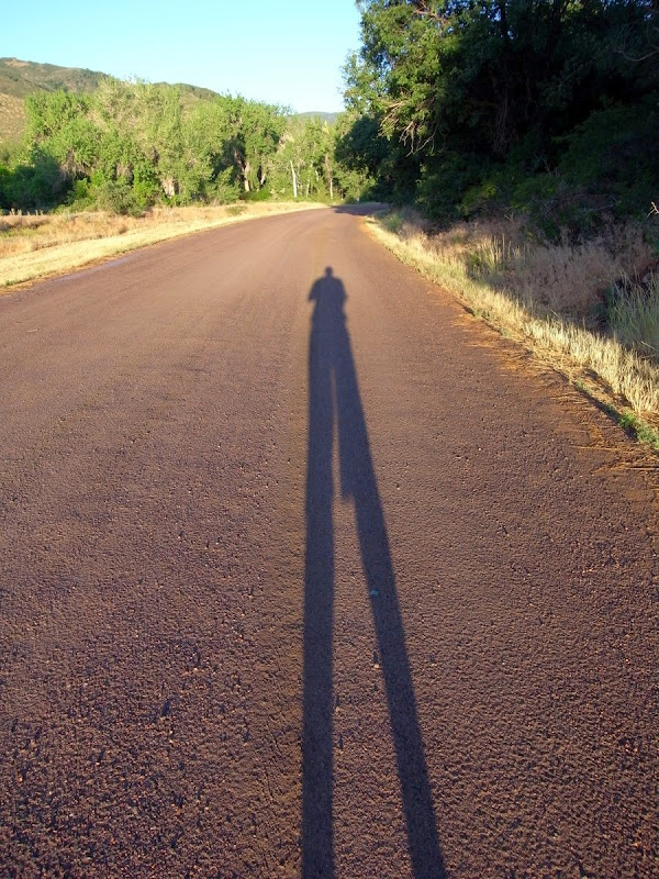
Early. The mine road catches commuter traffic I’ve heard. At 06.30 I’m on clay and thirty minutes later tarmac, courtesy of a miner (not minor) heading home.
Bailey is tiny. But it has the Cutthroat Café.
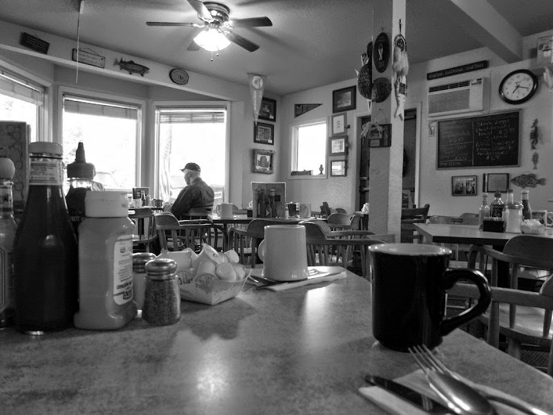
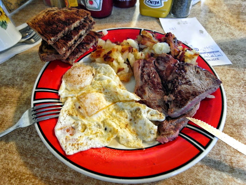
…and the special.
I grab a room of sorts above the Bailey Store (friendly owners) for $30, which includes a shuttle back to the trail the next morning.
Happy Hour IPAs and Elk stew complete a day of indolence.
Lost Creek Wilderness: 17 miles and 1100m
Groaning with breakfast eggs and biscuits I’m back on the trail as Jim drops me off; he’s been a great host.
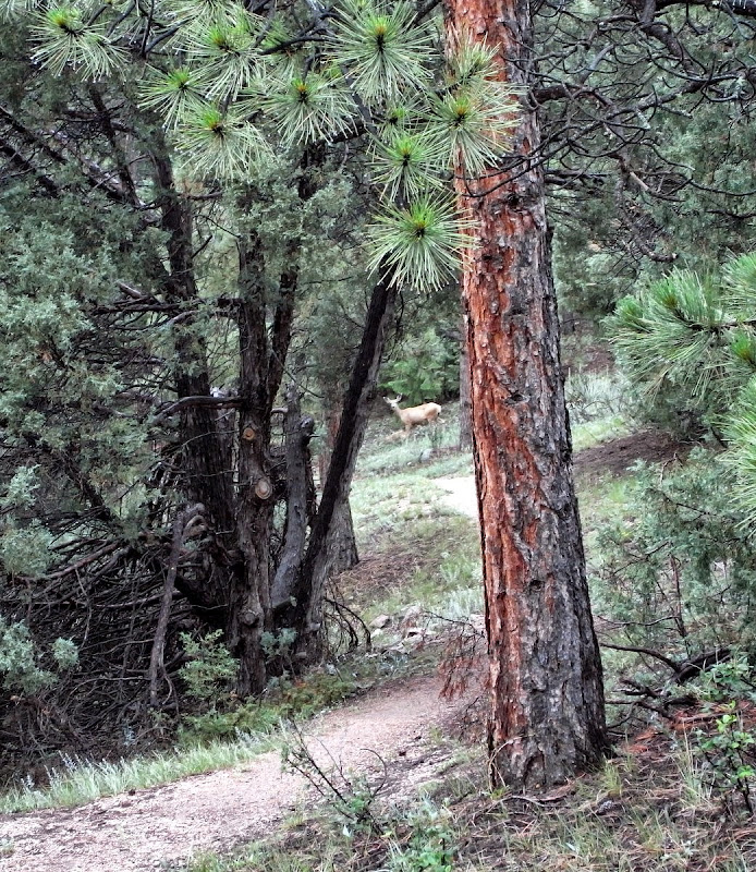
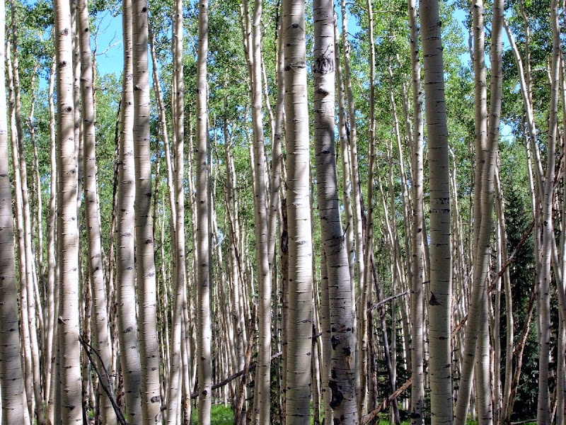
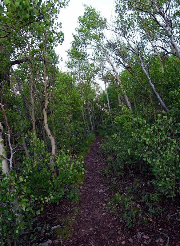
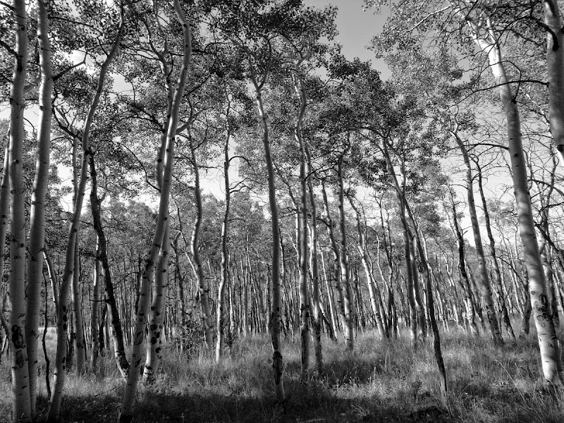
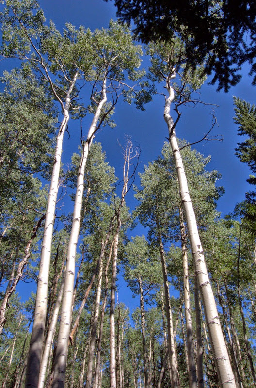
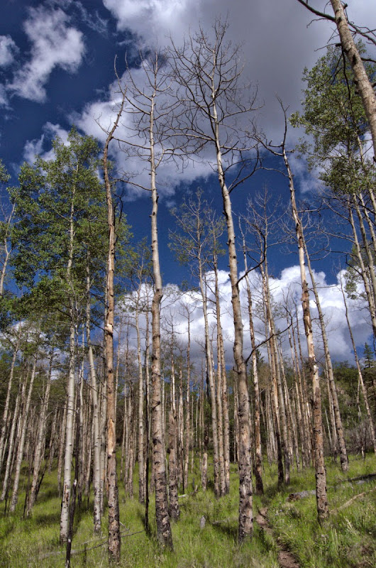
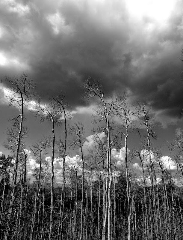
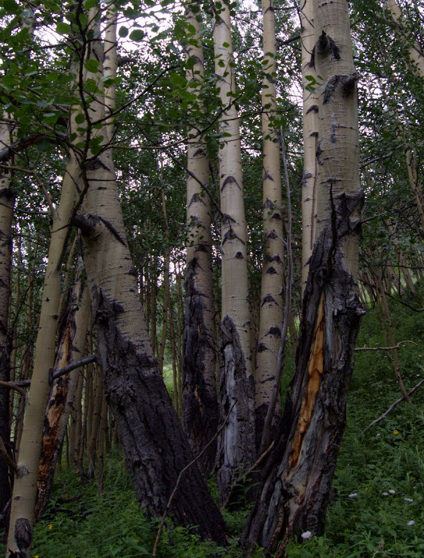
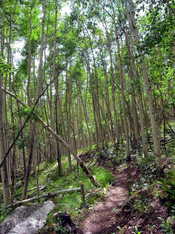
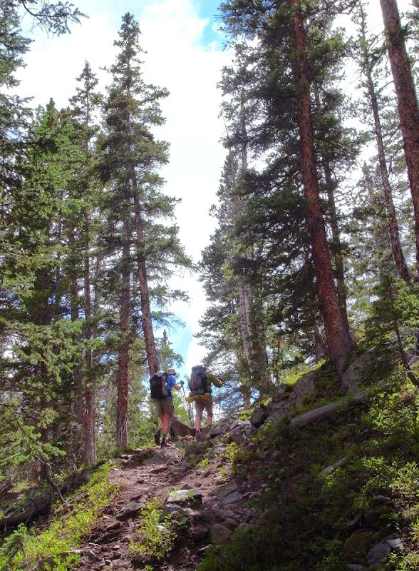
I hit the first stands of Aspen.
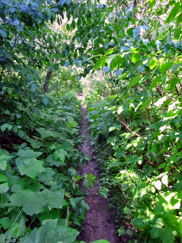
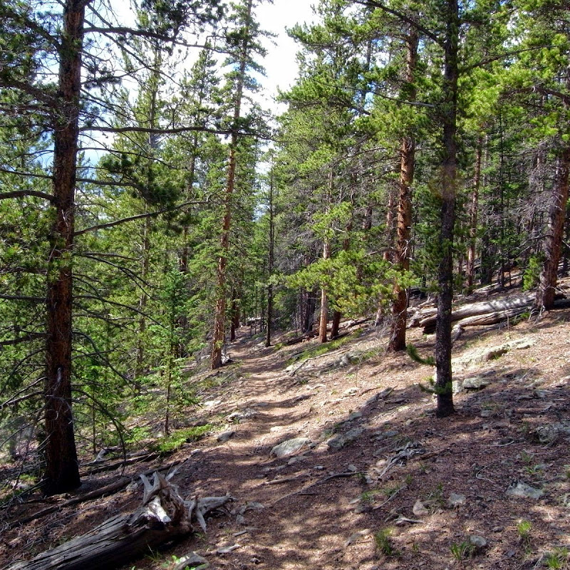
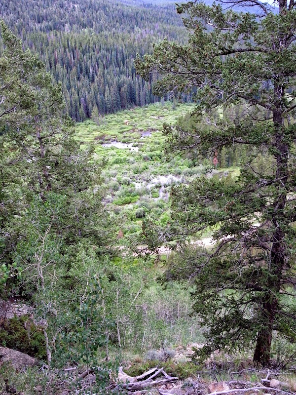
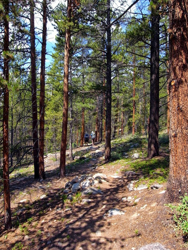
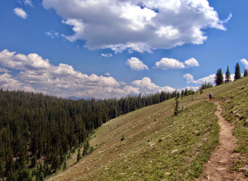
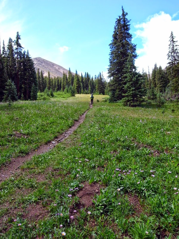
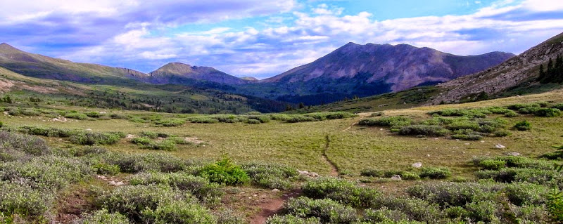
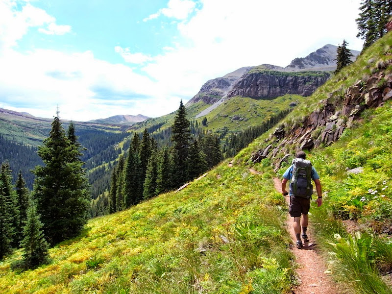
The trail climbs through forest and then up into open meadows for a long stretch.
The meadows climb slowly towards wooded passes.
Then.
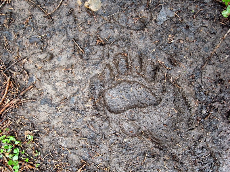
Bear.
BEAR.
From nowhere (well, obviously somewhere) a fair-sized shaggy brown bear drops onto the path in front of me, about 10 m away. Frozen moment of clarity, I can still see the ripple of muscle and shining eyes. Time passes. It looks at me I look at it – and I reach for my camera….then, gone. More scared of me than me of it (maybe). I walk to where it had been and look – vanished completely although the tree cover is thin.
Now I’ve met a few bears, even a few grizzlies (no thanks). I know they are mostly kind of shy, but still walk an extra couple of miles from the creek where I’d planned on camping. Whistle an insouciant tune.
Fairplay: Bounce box, different clothes, poor food, nice coffee, motel and a zero, 13 miles and 500m
‘Today’ is a walking morning long.
I’m still a little scared (stiff) of bears and this sort of cover helps not at all…perhaps my singing does.
It is around here that I meet the ‘South Lake Tahoe’ boys; a friendly four-some (Bugs – ‘I smell like a cow’, Tucker, and the two Spencer’s). They love my accent. We swap bear lies and they give me tips on what to buy food-wise for the trail (US Supermarkets are entertaining). Again, I’ll catch them later down the trail, although they abandon in storms up on the high mesas further south.
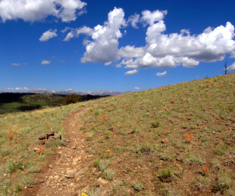
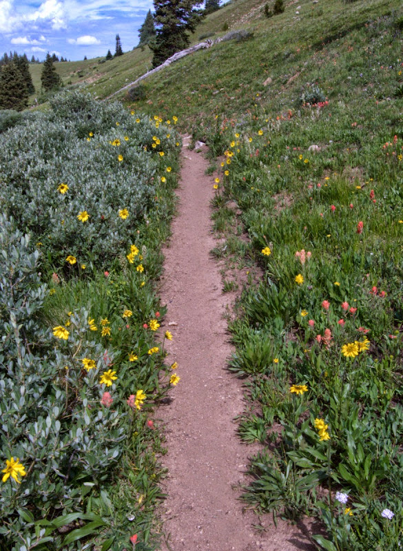
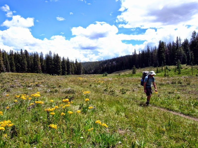
The flower strewn meadows are colourful up on the run down to Kenosha Pass and views are opening up.
Another rise clad in King’s Crown flowers and then horizons stretch to Jefferson, and beyond the luxuries of Fairplay await.
Just midday as I hit the road at the pass; a few minutes later I’m heading down the 20 miles to Fairplay with a guy who’s been running a fracking business for the last decade; he’s faintly amused by the furore such possibilities raise in the UK.
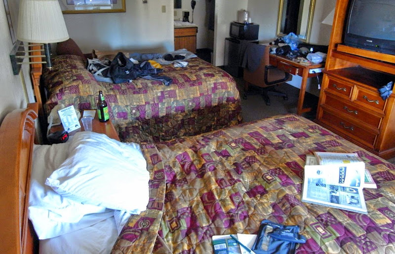
Dropped off at the espresso and Wi-Fi heaven of Java Moose and life looks up; whither wilderness now? Installed at the Riverside Inn drinking an original (made with real sugar) Mountain Dew while lying in the bath and with different clothes out of my bounce box to don, ‘I’m good’; the ‘all you can eat’ pizza buffet on the way helped. Only 70 miles in and I’m already slacking…perhaps I could call it ‘pacing myself’.
Georgia Pass, two Matts: 20 miles and 1000m
The last guy worried me…zinging and sweaty, pupils wide – he’s somewhere along his trip; but too late, I was already in the car. The conversation was fast. Three lifts to get me back up to Kenosha Pass.
Plenty of mountain bikers here…North American friendly and we are all into the damp forest together.
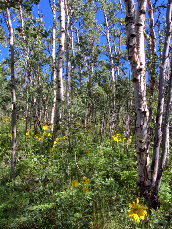
Moving through stands of Aspen, the usual tumult of wildflowers, and open meadows feels easy after a day in town.
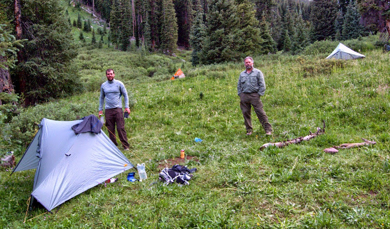
A sub Alpine forest with plenty of blow-downs calls for some hurdling practice. There’s moving colour. The two Matts…
Retired Matt is my age whilst young Matt is early thirties best guess. I end up walking a lot of the trail with young Matt.
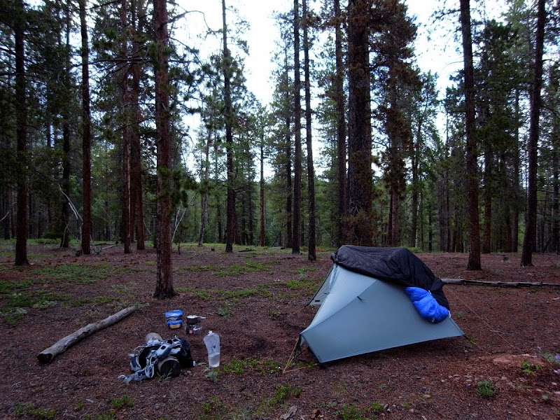
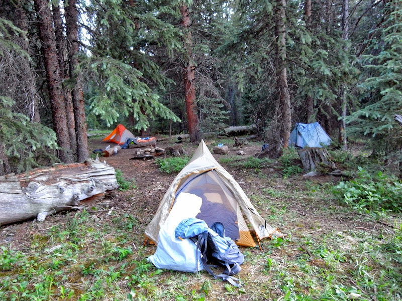
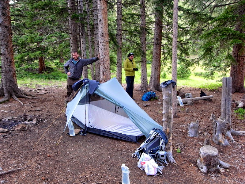
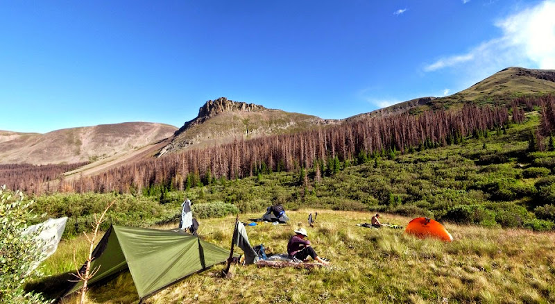
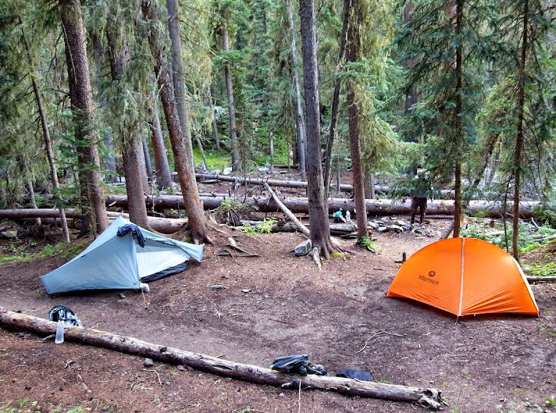
We chat, we gel, and we – because we have become a ‘we’ for now settle down into camp near an ATV trail and too many people.
The duelling banjos from ‘Deliverance’ run through my mind; sleep is elusive.
Frisco: Zero, beer, some more beer, pizza and pie, 13 miles and 400m
It’s chill when I walk up through the trees to a ridgeline leading to the utopian fleshpots of Frisco and Breckenridge; the ‘Matt’s’ are slower than me to get underway. An arrangement to meet Matt Jnr at the Backcountry Brewery has been made. Down the slope I meet Rick – a CDT section hiker; we chat, both bubbling with the feel of the trail, and he too suggests meeting for a beer. It seems impolite to demur.
The next range awaits.
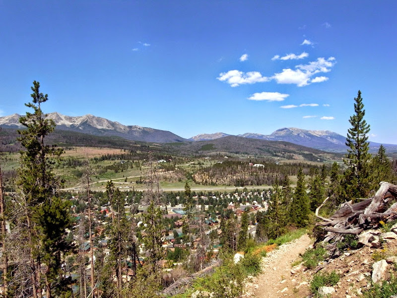
The day has heated all the way up and I’m dripping as Breckenridge appears; I’m too cheap to stay in this up-market ski-resort and grab the free transit bus to the sister town of Frisco; crawling with tourists. Like me!
The motel has the nastiest looking bed covers I’ve seen…..but craft beer, pizza, and salads are nearby.
I meet Rick (CDT guy) and his wife, they kindly buy me dinner, then repair to the hostelry to meet Matt and whatever other hiker-trash is in evidence…the rest is a beer blur.
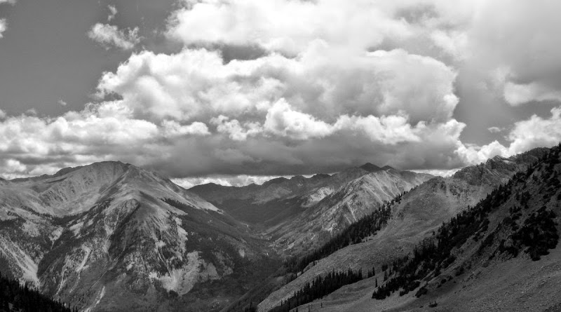
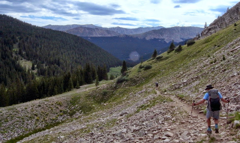
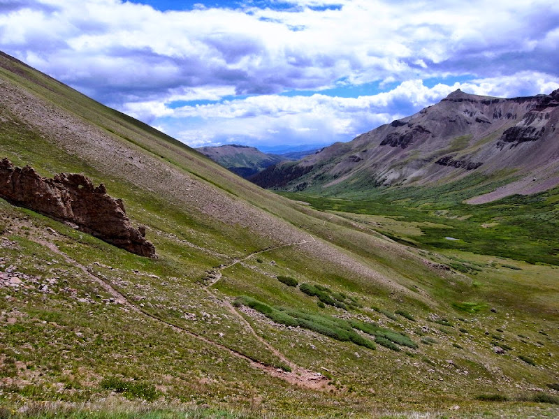
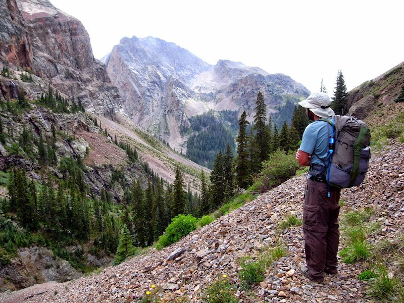
Tenmile Range: A steep 3800m ridge to cross, 20 miles, and 1420m (this hurts)
There’s a bit of a burn area outside Breck but soon the forest soon envelops me.
Very replete after a great breakfast – the waitress (big tip yesterday) snuck me two chocolate-coated kirsch-soaked strawberries to enjoy with my expresso; now my normal way to start the day.
This guy cares not about a minnow like me.
Over that ridge, at a lower point thank de lordy.
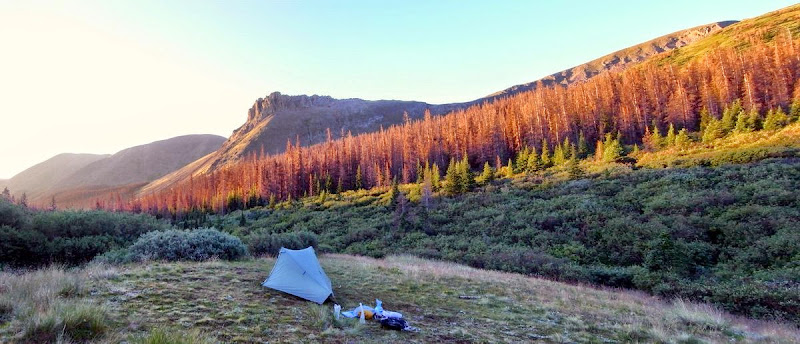
A lovely open meadow is a good place to stop; I’d have stayed there had I known what was coming….
The trail snakes up – unrelenting; the altitude is kicking in.
At last I crest the Tenmile Range, popping up onto a sinuous ridgeline at 3,800m which is followed past the evocatively named Peak 6. I feel like my lungs have been scraped clean. It is a long way down to the Copper Mountain ski resort. Texts come in from Matt – he’s down there waiting for me.
The resort is tack on a stick vile. It’s hot but we (‘we’ now including a chap called Lot) kick on another five miles to a nice meadow site.
Those duelling banjo’s again….ulp. I sleep really well.
Leadville Hostel zero: 19 miles and 1346m
The 10th Mountain Division hut looks like my kind of place as I wend past it en route for Searle Pass. Later in the day I’ll pass Camp Hale where these men trained.
Gasping (again) as I hit the crest at 3,800m.
These are fine sub-Alpine plateaus with a unique and somewhat bleak character; up here in a storm is something I later find out about.
Now I start to see the mountain bikers; a couple thrummed past in the night. They are on a race along the CT that the best do in four days….this being Colorado they still take the time to stop and chat.
Always nice to descend to a col – the 3,800m Kokomo Pass.

Now begins a long spin down to Camp Hale; the sky is threatening.
Tarry awhile to avoid putting on a waterproof; pines forming a natural umbrella. Later I hear that Lot was up at the passes in a hailstorm and had a pretty hard time of it.
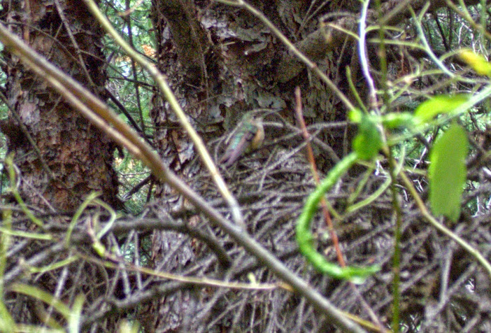
This is a great day, high passes, friendly bikers, not too hot. Yet more tarrying when something buzzes past me – a hummingbird…blurry little things.
The downhill ends at the 3,200m Tennessee Pass Trailhead. A ‘better days’ black corvette provides the necessary transit to hot showers, food, a bed, and beer. Matt arrives half an hour after me. Tom arrives too – my ultralight nemesis.
We decamp to the pub for beers, beers, and a huge pizza.
A wise day chosen for a zero. The usual (my, my, a pretentious ‘old-hand’ already) town day of laundry, eating, and resupply. All capped with a Filet Mignon, a good one too, post the bar.
Mount Massive Wilderness: 19 miles and 800m
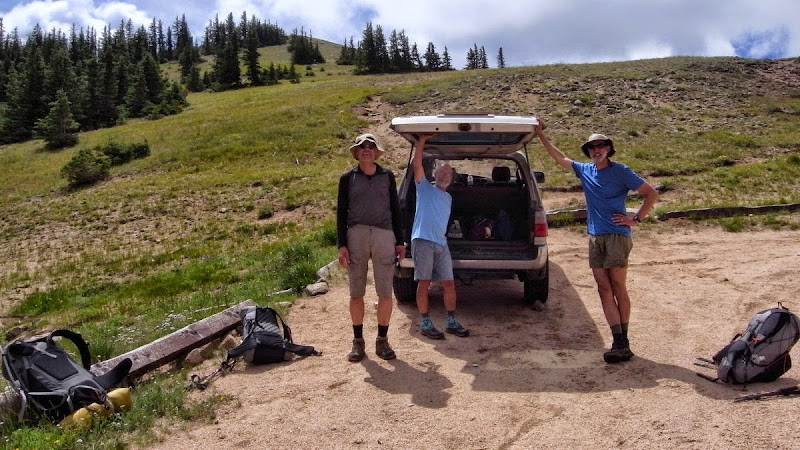
Not early when Wild Bill, the proprietor of the Leadville Hostel shuttles us back up to the pass.
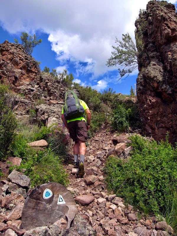
Nemesis. Look at the size of that pack!
Pretty obvious that Tom and Matt are an even match pace; I’m slower and drop-off. I’m good with it….really; I don’t think so! Quite hard for me to struggle in the wake of others, and I maintained for years my lack of competitiveness.
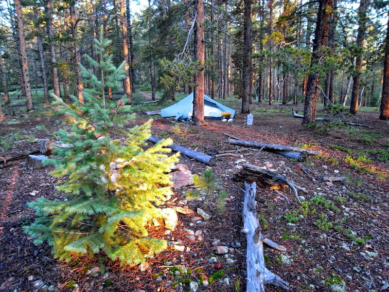
Regroup up near Holy Cross Mountain.
Matt will peel off soon as he is bagging the 14,000’ Mount Massive. Tom will disappear tomorrow to meet some friends and take a day or two off the trail. The ebb and flow of the trail population is an interesting dynamic to observe and be part of.
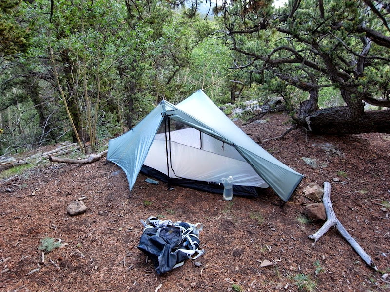
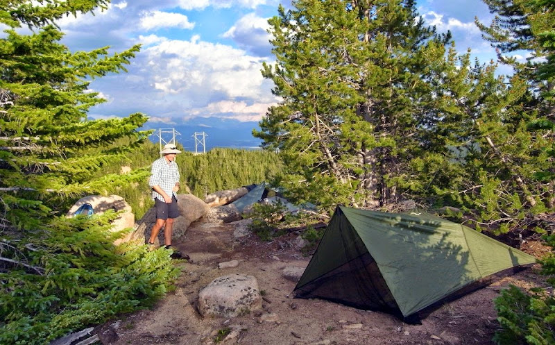
I have to tell the fleet of foot Tom that I can walk uphill, or stop and talk, but that I can’t walk uphill at his pace and talk. We find a pitch with a lovely view of the power lines; interesting to see a tarp being setup by someone who has done the AT three times and the PCT.
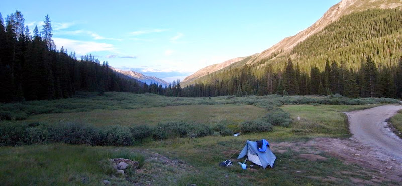
Twin Lakes zero: 14 miles and 900m
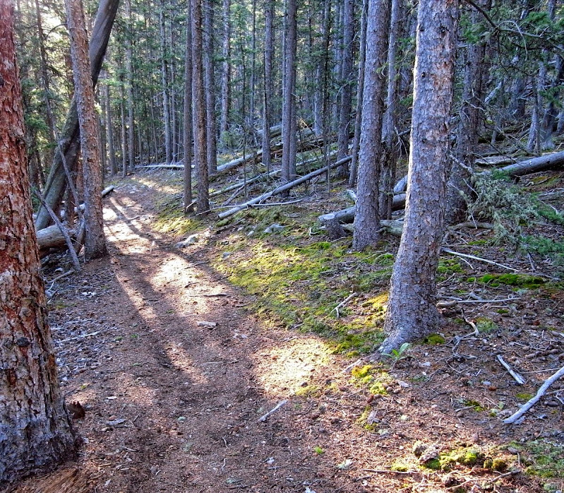
I leave Tom with his thoughts and morning Tai Chi and pad through the needles of a deathly quiet pine forest.
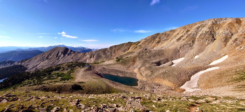
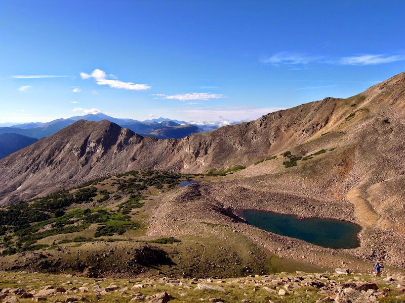
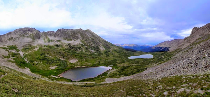
Twin Lakes and another zero is on my agenda for the evening – I’ll be 175 miles in when I get there to take a break and pick up a resupply package for the newly opened Collegiate West route – a higher alternative to the ‘standard’ CT. I’m thinking 6 days out with no easy resupply opportunity; I do it easily enough in 4 and a bit.

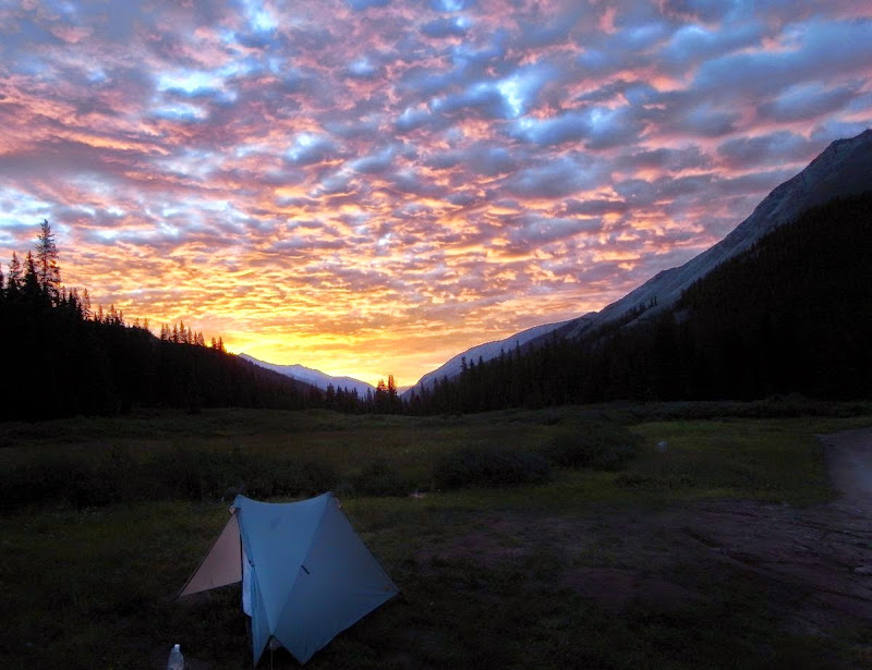
The stillness of the woods creeps in and the loss bubbles up.
I am here; quite where ‘here’ is I know not. Not all who wander are lost. But I am for now.
Then I am here. Then eating the most tender ribs I’ve had.
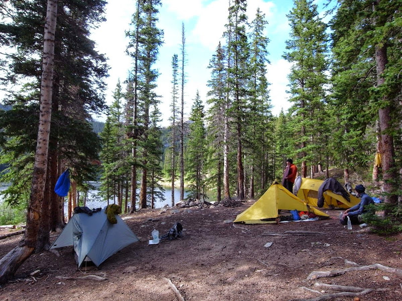
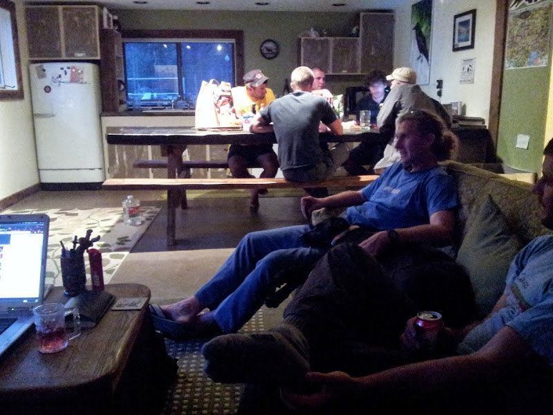
A gentle rain falls and an unplanned zero is all too easily decided. The new couple who run the Twin Lakes store are fun to pass time with; Tom’s here waiting for his friends. Then the arrivals start, the South Lake Tahoe boys – big smiles and handshakes…despite my ‘luxe’ approach to the trail I’m keeping up with them. Next Matt bounces in – all beard and on a beer mission. Tom’s ride arrives and he’s off. Lot’s here too – he’s quitting the trail. Finally Bart rolls up late - decants some wine into a platy then heads off into the woods. There’s a nice little hiker community happening, all grazing calories out of the store.
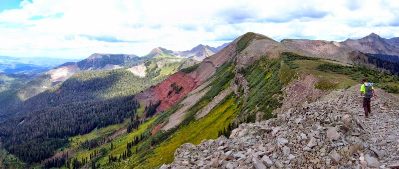
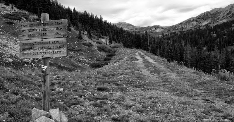
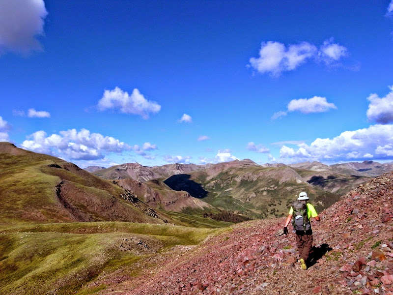
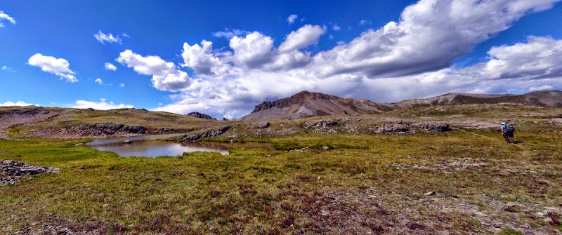
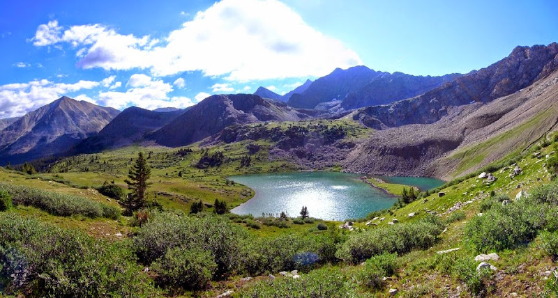
Collegiate West Route: 80 miles of highline fun, 16 miles and 1200m
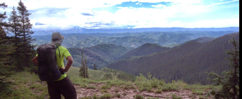
Matt and I do the road walk thing rather than trudge through a marsh; he’s going peak bagging, I’m up onto the newly opened section of the CT – and six days of food in my pack let me know it. I’m looking forward to being alone for a spell (no offence buddy), although somehow thru-hiking never seems to work out that way.
The climbing is pretty good after the road – but the altitude kicks me around while Matt cruises. We part and follow the stream up towards Hope Pass (3,822m) at our respective paces.
There he goes….
Puffety pant…..double gasp.
Hoooray.
Look at that shirt…the boy has no class!
The down is quite something…a real leg drainer.
Thunderheads portend.
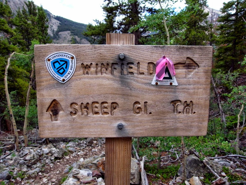
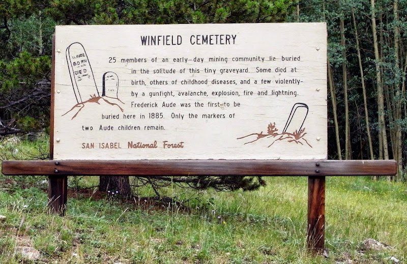
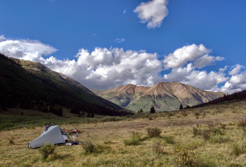
I keep on rolling along the valley bottom. I’m tired on this day even after a zero and lots of food. Glide through the abandoned ‘ghost town’ of Winfield. Some nice-looking holiday cabins here. Lots of bear scat.
Toddle on past the well-named Blackbear Creek and then take the well-used (there’s access to a 14er up the dirt road) to gain the North Fork Clear Creek track and a great campsite.
Handsome!
Cold overnight. A lot of rain.
Lake Ann Pass: 14 miles and 900m
Cold in the morning too.
A nice climb through stunning woods to a high pass.
The damp cloaks everything and the forest is a dripping, magical place to be. The warming day lifts mists from the rivers and grasses and creates a watery-wonderland that I pad through in an all-enveloping silence. A deliberate hand trailed through the chill of thawing ferns reminds me that I’m still part of this life.
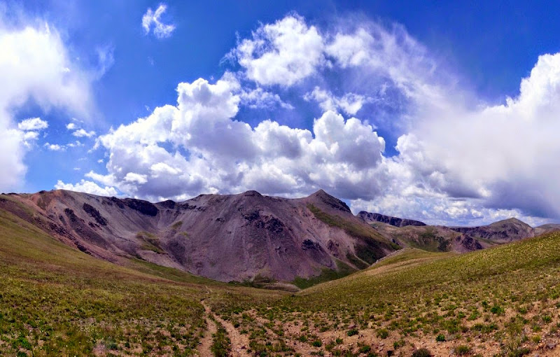
The sun is doing its thing despite the altitude; perfect walking weather…hiking even. Ahead the 3,600m Lake Ann Pass looms.
It appears that I have found my Mojo.
The trail up to the pass is wonderful. Hard work, but the views and quality of the air….
Unusually ‘seeing where the top is’ normally slaps me backwards, not so this day – in fact it all goes easily.
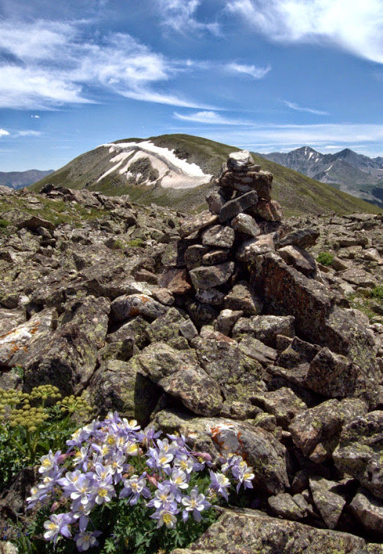
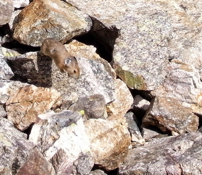
Even Pica suicide cannot deter me (looks like a dormouse, actually related to the hare).
The tent is dried and food eaten, which attracts attention; whither solitude?
The descent is well-graded and the remnants of a cloud inversion are in the middle distance.
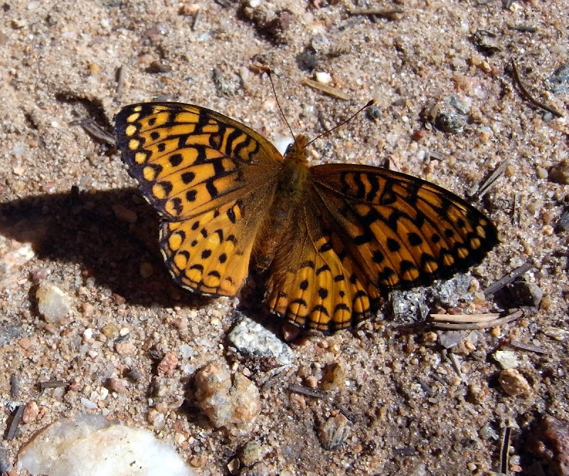
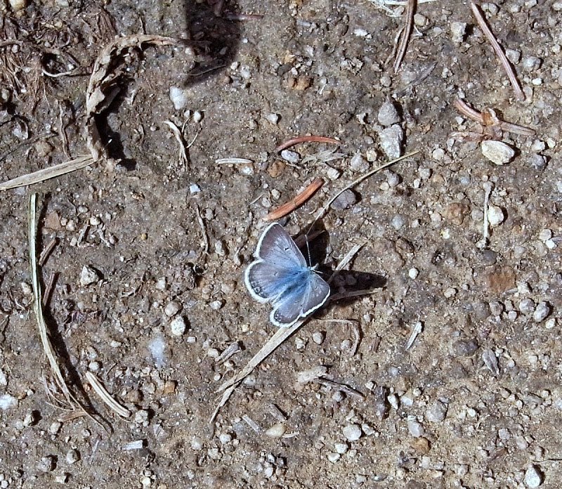
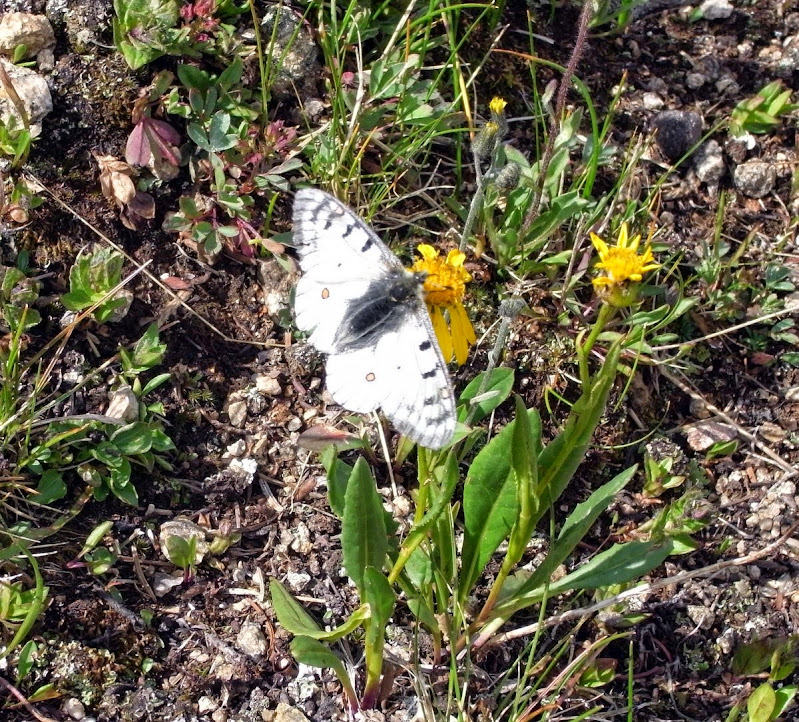
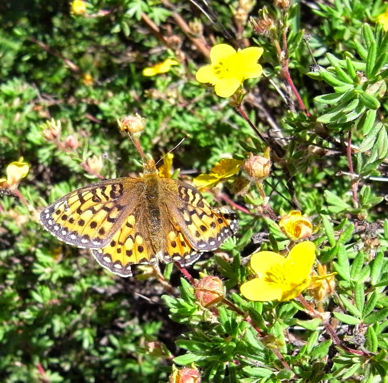
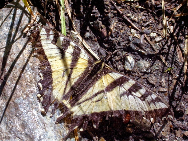
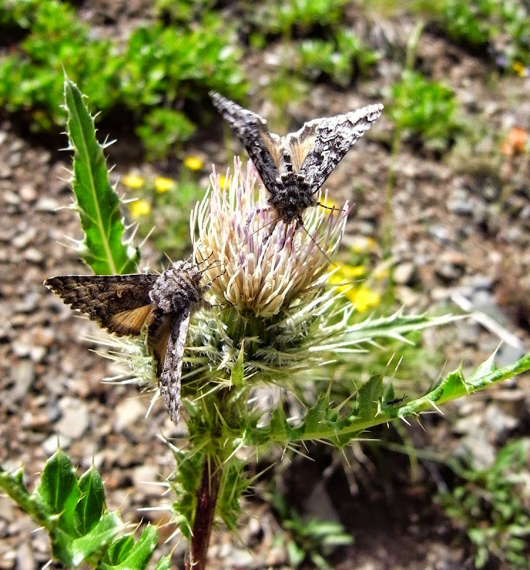
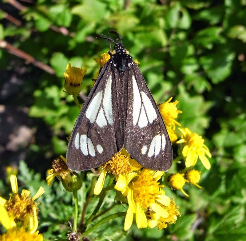
The butterflies on the way down are prolific…much time and energy is devoted to trying to capture one (digitally); they are annoying, flying off just as the macro gets fixed!
The path soon merges with a trail-bike route and I meet a few – they are friendly too; causing a lot of erosion down to boulders though. More noisily a small herd of Elk thunder down the slope in front of me – the ground shakes.
A vague torpor engulfs me so I stop. Sit on a rock. Put the tent up. Enjoy the sun. Contemplate my navel.
The Colorado Trail Foundation: 21 miles and 900m
Bitterly cold with a bright sun. Perfect.
A breakfast while wandering tranquilly through the Texas Lakes.
Gradually leaving the Aspen and wildlife behind I gain a fine ridge before dropping down to the somewhat foul recreational ‘ATV paradise’ of Tincup.

The 3,700m Tincup pass, tiresomely people are trundling up it in their ATVs. It is quite late in the day and there are surprisingly few places to pitch…but water is a more pressing problem.

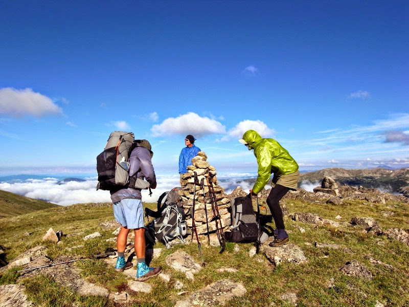
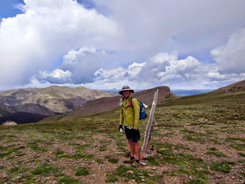
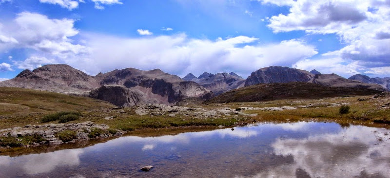
Is seems prudent to make a quick dusk pitch next to an established campsite full of hikers. One comes over to chat. It is Bill Manning, the Chairman of the CT Foundation with fellow CT Board members – checking out the Collegiate West route.
Men from Durango: 16 miles and 800m
I’m up early and Bill calls me across to ‘visit’ with the CT Foundation. Coffee – most kind. Ping-Pong questions; enjoyable and eclectic conversation ensues – from my motivations to travel solo and why I chose the high alternate of the CT, to what will happen to the EU via a complex diatribe on the freedom of speech? Ooof.
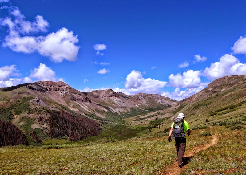
A fine meadow then forested switchbacks.
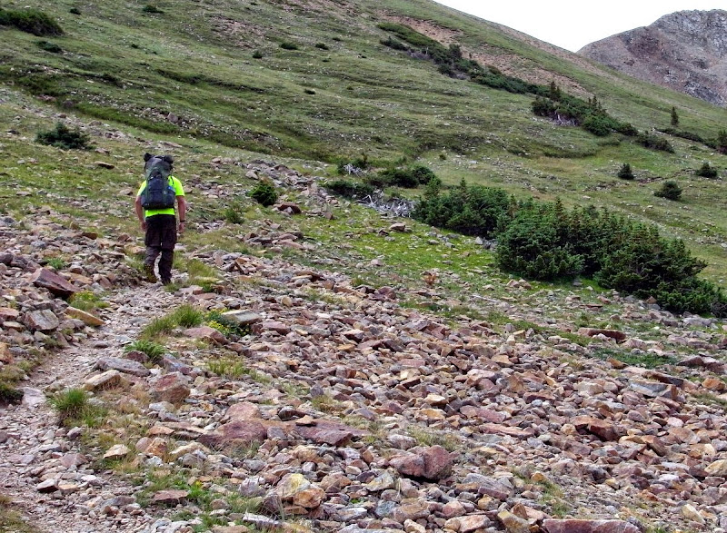
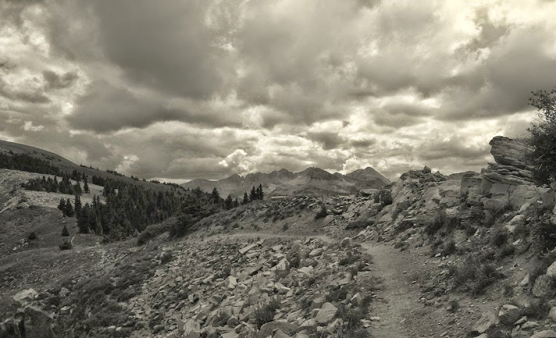
Up to open sub-Alpine plateaus riven by peaks with talus slopes tumbling down to treeline.
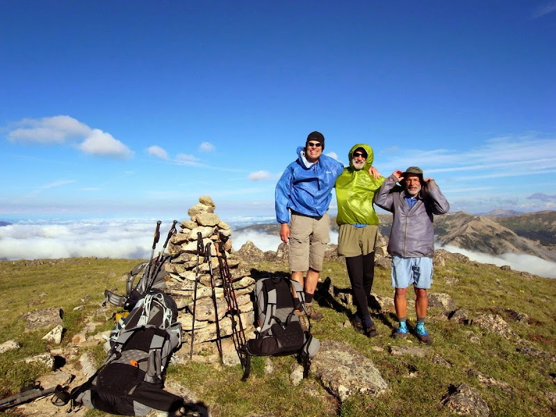
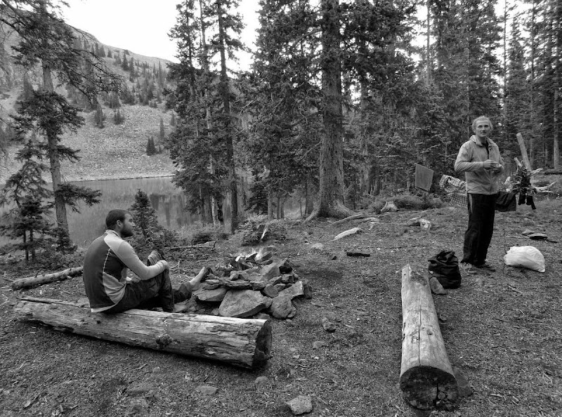
There’s a group ahead. Pete, Rick, and John. We swap brief ‘histories’. Two of these guys are genetic mutants at 6’ 5” – this surely is outwith the ‘rules’ of walking…unfair advantage and all that.
I toddle along behind them and we leapfrog down the trail, sometimes together, sometimes not.
The area is more civilised than one might think.
..or not.
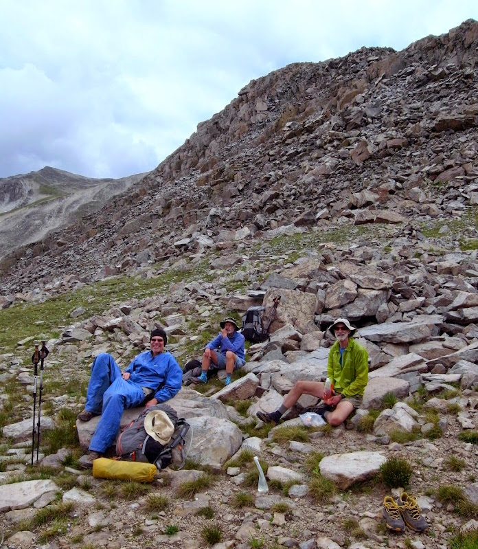
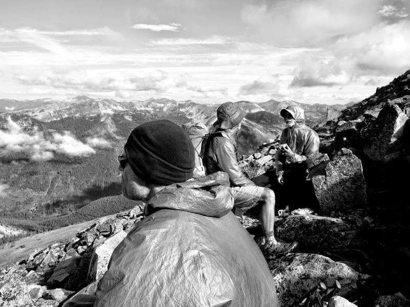
Cold now and the rains come; we’ve tacitly begun that ‘becoming a group’ thing, at least for now. I believe the ridicule accompanying my use of a rain kilt united us!
A nasty ‘we haven’t looked at the map properly’ 200m ascent to a lakeside camp hurts.
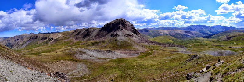
Baldy: 11 miles and 900m
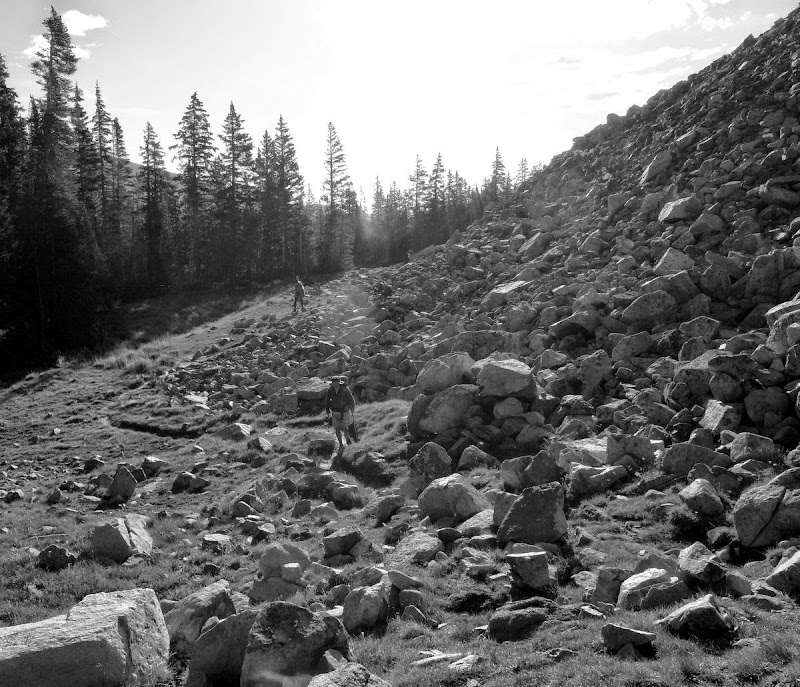
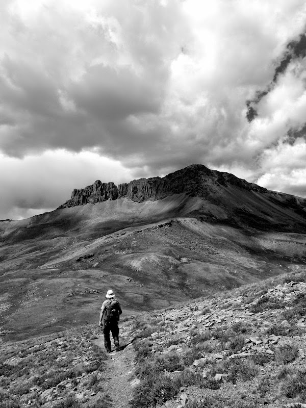
It is quite a stiff climb through boulder-scree onto the side of the aptly (for me) named Mount Baldy. The giants are fast, mere mortals tremble weakly in their wake.
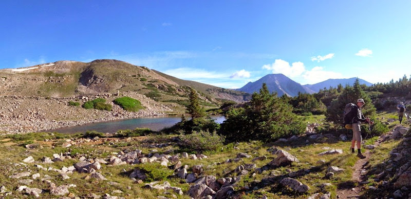
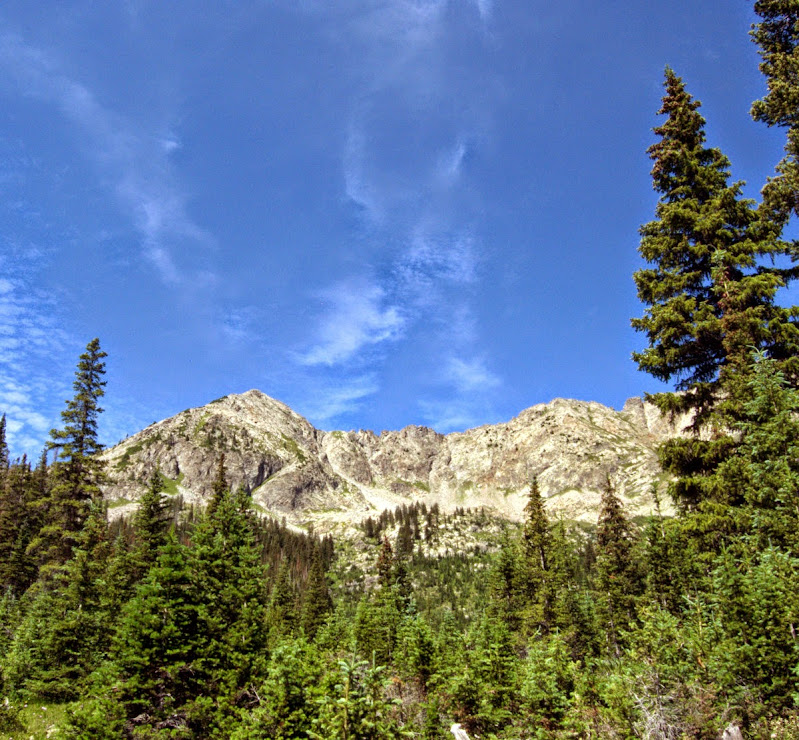
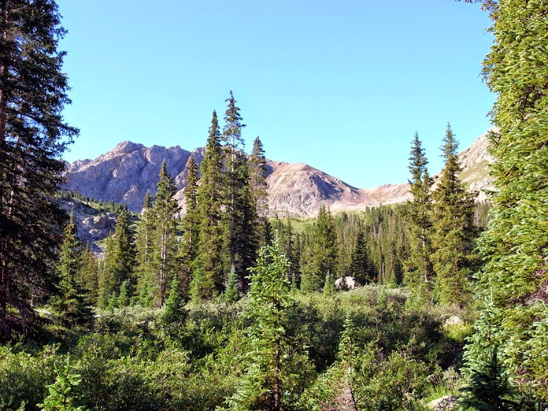
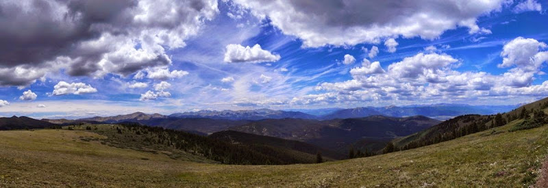
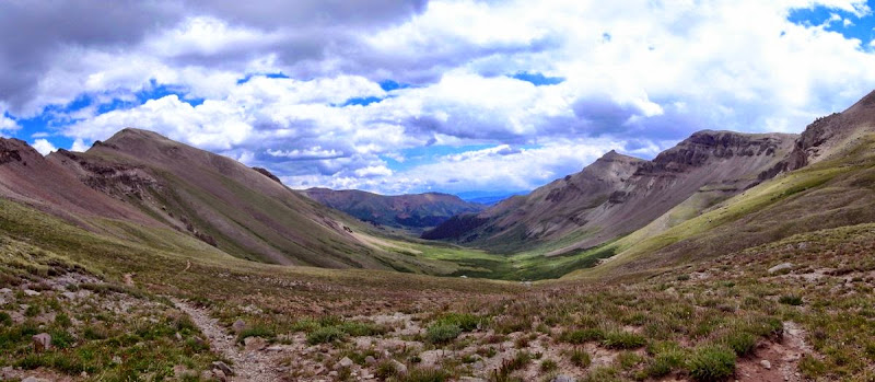
We crest the Divide and an awesome (yeah, yeah I don’t use the word lightly) landscape opens up all around.
These guys are out for about a week – their party has been whittled down from 9 to 3 by some adverse weather across Hope Pass.
After dropping down from an exceptionally (awesome) ridge we hit the sun-baked reality clay of a ski road. Hot. But not far to John’s car and a kind ride into Salida and a Mom n Pops restaurant (Philadelphia steak sandwich, sweet potato fries).
I’m dropped at the hostel with an invite to stay with Pete and his wife Mary in Durango post trail; unluckily for them it is an offer I don’t refuse!
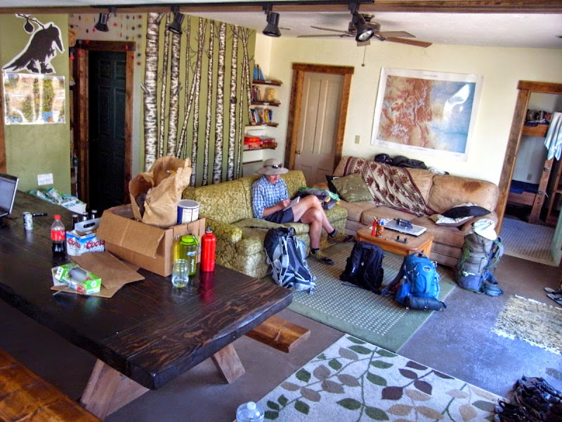
Tom’s already texted and he’s here. Matt too. But the hostel is full so I grab my bounce box from the USPS and then a motel – a bit of time is nice.
Over halfway – 253 miles.
Salida is a full-service town and a good place to crash. A day spent eating breakfast, shopping for breakfast, lunch, and dinner. Then eating lunch, eating dinner, and drinking a few pints of Headwater IPA is a day well spent.
The boys are ejected from the Hostel as a big group is booked in; we split my room – hiker horror.
Back with the boys: 19 miles and 900m
The hostel shuttle takes us back to the trail; I’m on my own as I came off in a different place to the boys; happy to get that banjo twanging out of my mind.
The day augers very well.
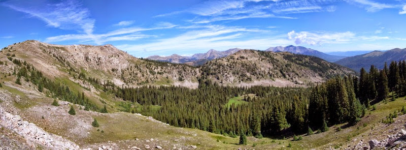
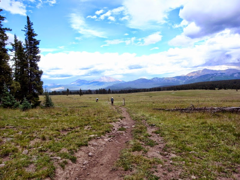
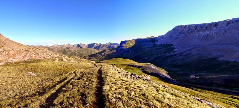
The trail stays on a high ridge with expansive views in all directions.
Ere long I’m reunited with Matt and Tom and we find a campsite, stopping early as the start was late and there is no water for the next 11 miles.
Matt does his level best impression of ‘hikers you don’t want to meet at dusk’.
Baldy Lake: 18 miles and 400m
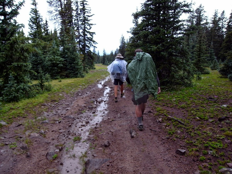
Things go well until noon when things don’t go so well…shortly after this delightful repast the heavens open.
But at least we get to see Tom’s sturdy raingear.
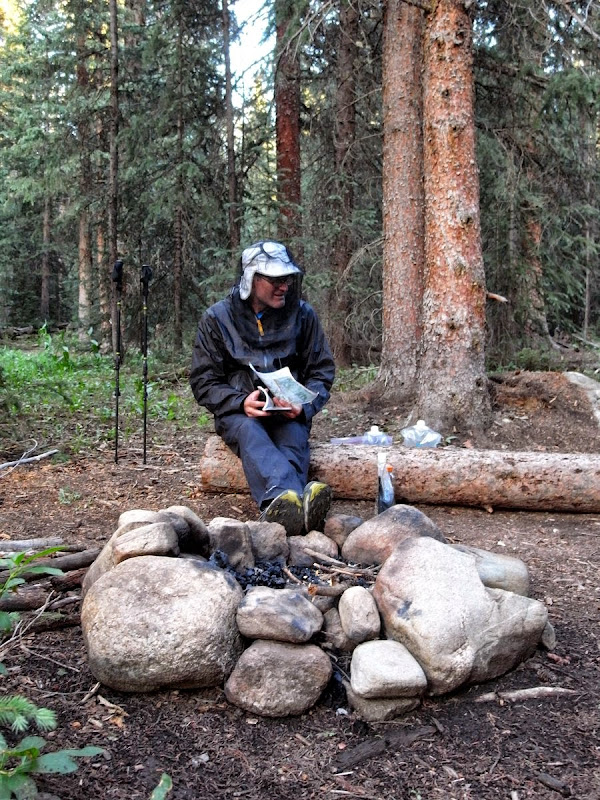
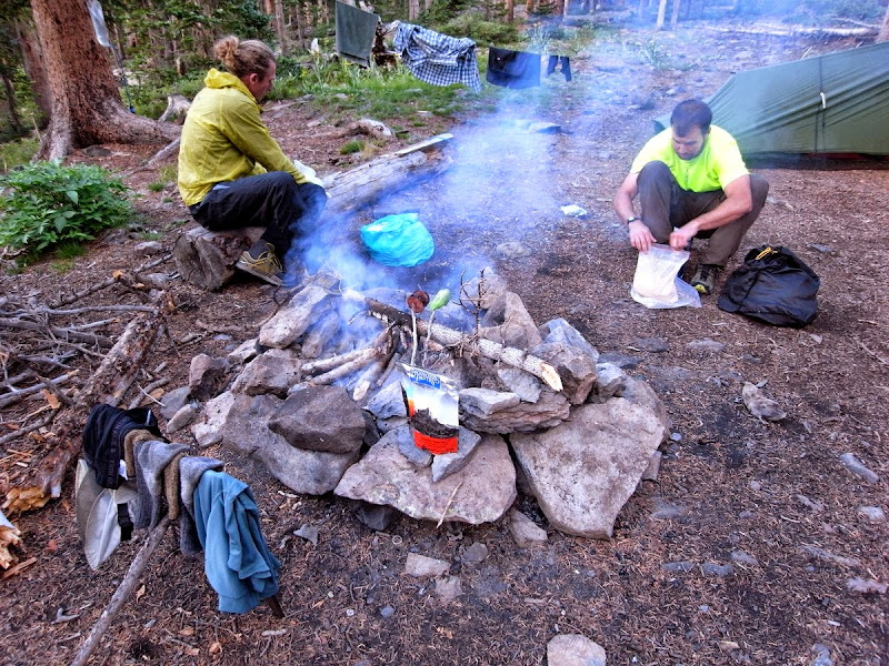
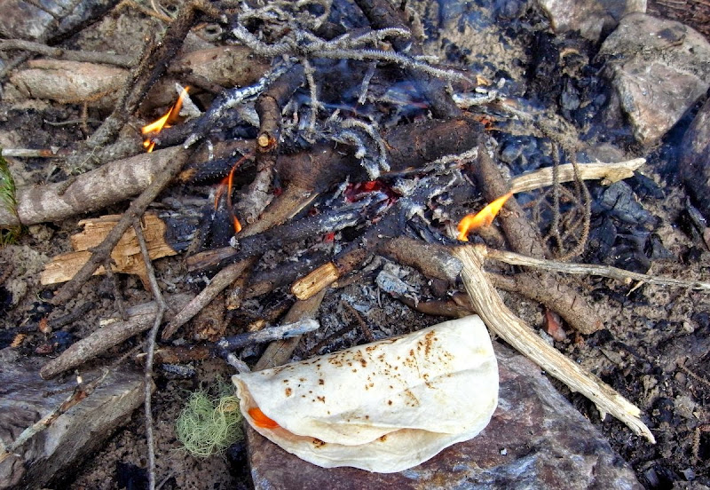
A drop down to Baldy Lake and a fire seem a great idea. Feels ‘beary’ – I get taught the PCT food hang…more complex than it sounds – the hardest thing being finding an appropriate tree.
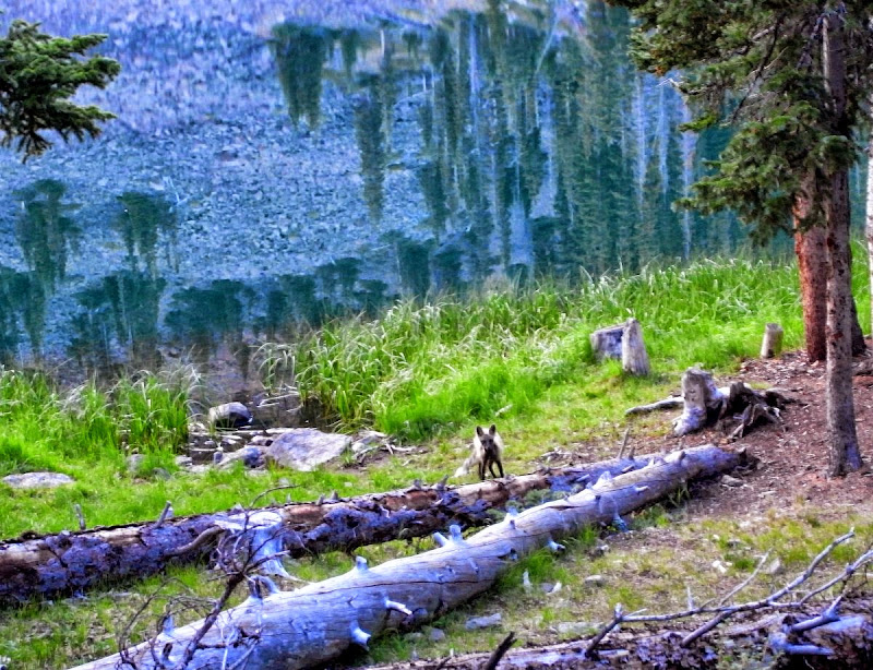
The fox knows no fear. Unlike the boys who go for a swim…about 12 seconds apiece.

Sunny Gunny resupply and zero: 13 miles and 700m
I’m away from the lake slightly before Tom and Matt – I know they will easily catch me…although I could hide behind a tree.
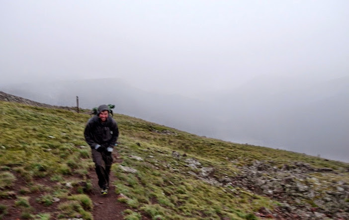
A pretty wet morning of no real photographic merit ensues, save that of Tom’s ‘rainwear’.
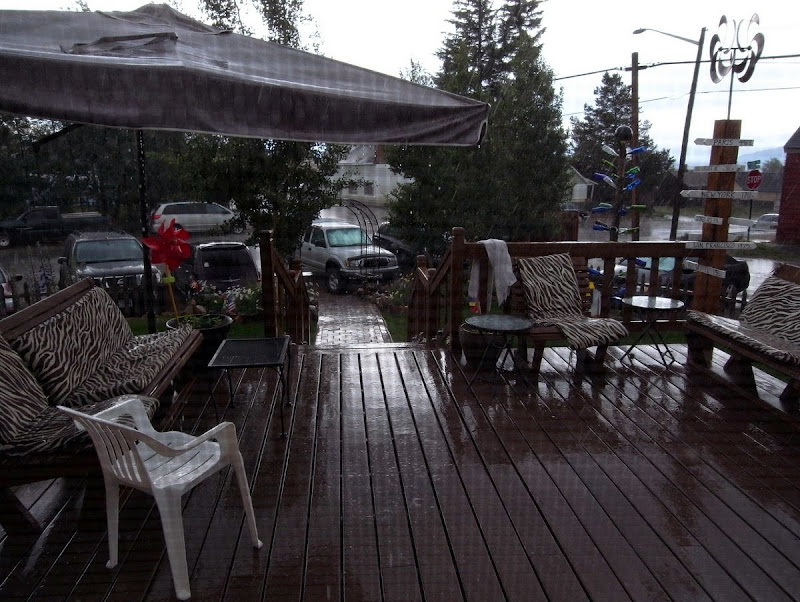
After 13 miles we hit Highway 114 and hitch. Gunnison is 40 miles away; amazingly after 45 minutes a student stops in the rain for all three soggy hikers and we are in town, the Wanderlust Hostel, and the bar in about that order.
It’s a classy place.
He’s doing it again. Rather too well-practiced say I.
The next day is a well-chosen eating and rest day; it rains pretty much all morning.
I needed a haircut; that’s five minutes burned up already.
The hostel is pretty busy and a relaxed scene.
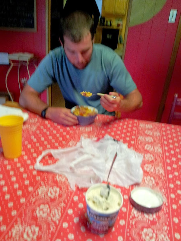
Mac n Cheese for Matt; Ben and Jerry’s Cherry Garcia for me, the second pint of ice-cream this town stopover.
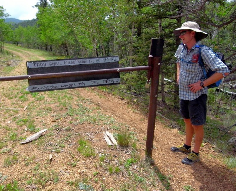
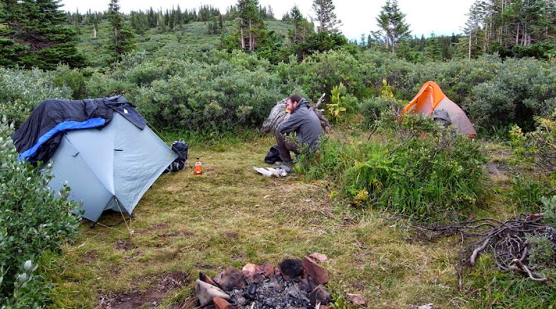
Angel Camp: 21 miles and 700m
It takes a while and two rides to get back to the trail so we don’t start walking until midday – and do 21 miles in an afternoon/evening – oooof.
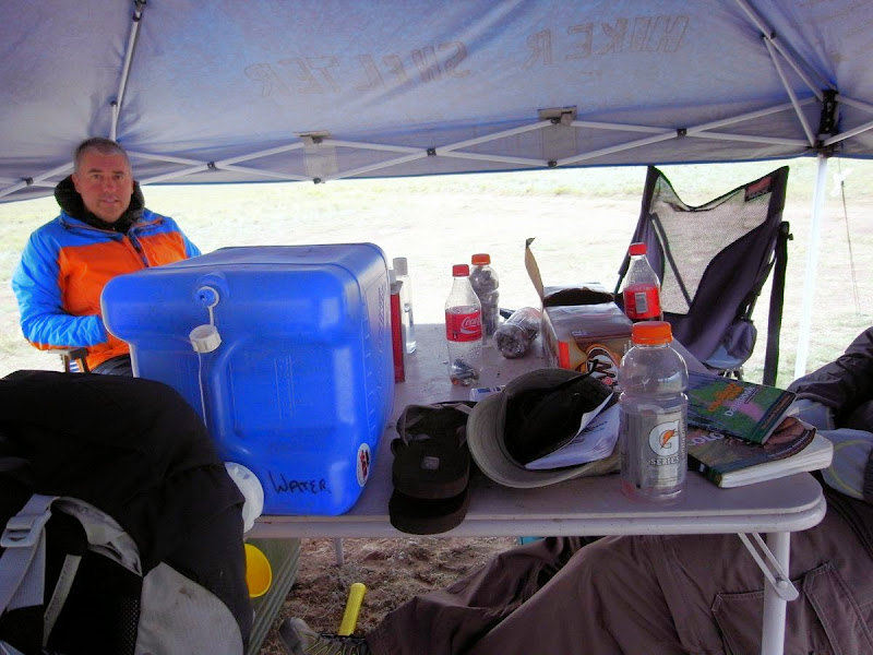
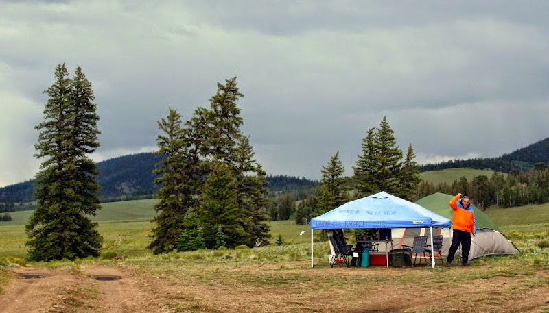
Off to the Trail Angel camp – this one hosted by ‘Apple’ a great chap who sets up a tent and seats with free cookies, drinks and so forth for thru-hikers; this is how he spends a month every year on the CT.
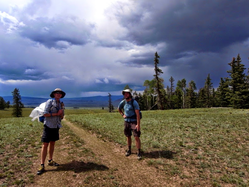
Avoiding the thunderheads.
Apple’s ‘camp (that’s not him – forgotten this fellow-hikers name…Mike?).
It continues to rain and cows and other beasts are hiding in the forest, which means we can’t.
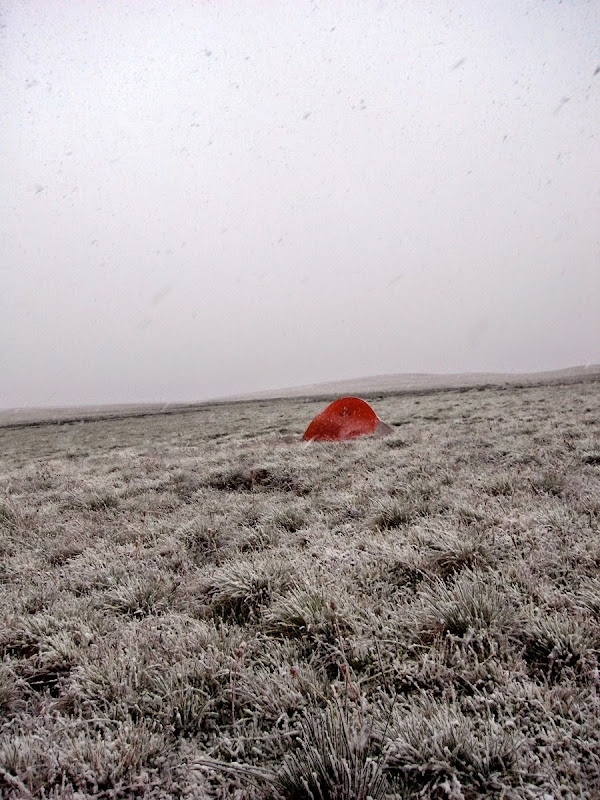
As it is raining we keep on moving. Extensive grazing (a nice way of saying there is cow **** everywhere) makes for few good-looking campsites and the rain precludes the desire to stop – at dusk we join another tent at Cochetopa Creek, the only flat, watered spot for miles, and crash. It’s very cold overnight with a frosty morning.
La Garita Trailhead and Eddiesville: 13 miles and 950m
Creak into an icy, then sunny morning after a late night which was way past hiker midnight (hiker midnight being about 9pm).
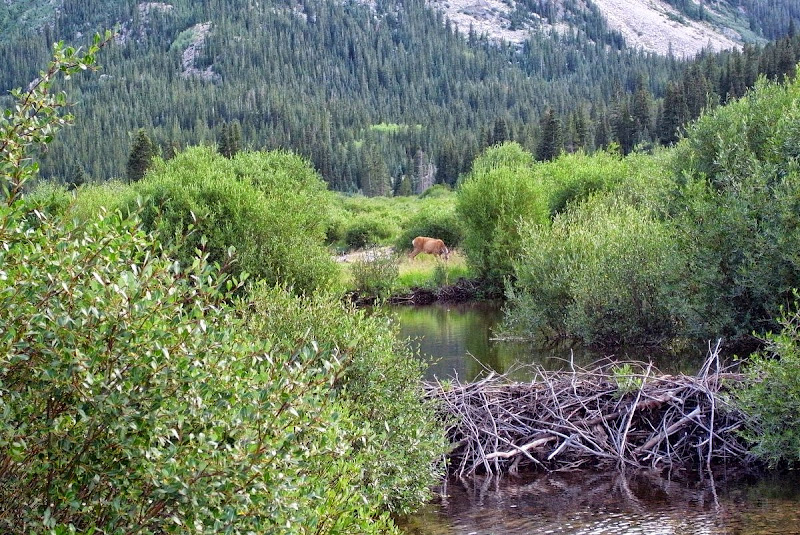
We move through the La Garita wilderness, traversing gradually upwards to gain a high ridge above Cochetopa Creek; which is extensively dammed (not damned, although who knows) by beavers.

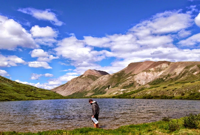
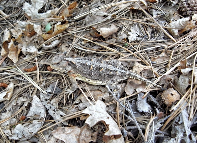
Raining pretty steadily again and my feet are soaked and tired…yet I am spurred on a little when we encounter this.
Matt loses the trail.
A nice-looking meadow affords the opportunity to chill a little and dry out.
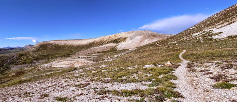
Snow Mesa: 17 miles and 960m
Yeah, very funny. Well named. It snows.
The most arduous day on the trail for me, sleet and snow storms at 3,900m are not too great for ‘Mr cut-it-to-the-bone’ UL ‘boy’. Poor me. Poor us.
A fine and early start to the day. There is a 450m climb up to the Continental Divide at 3,820m and here I decide to have a rest.
Contemplate a second breakfast.
Resting; also waiting for Tom and Matt – Matt will head off to do another 14er. He’s carrying a can of beer to celebrate; what an animal!
I give up resting and waiting and head off for the 3,650m San Luis Pass in the chilly shade of a huge alpine cirque.
Tom catches up.
Rain begins. We are sheltering and Matt catches us too – this boy has a turn of speed (beer induced we suspect).
Now it gets really unpleasant, rain intermingled with sleet. Tom’s see-through rain gear suddenly looks not such a great idea. But Matt (clueless) is still grinning – awesome (stupidity).
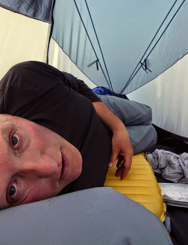
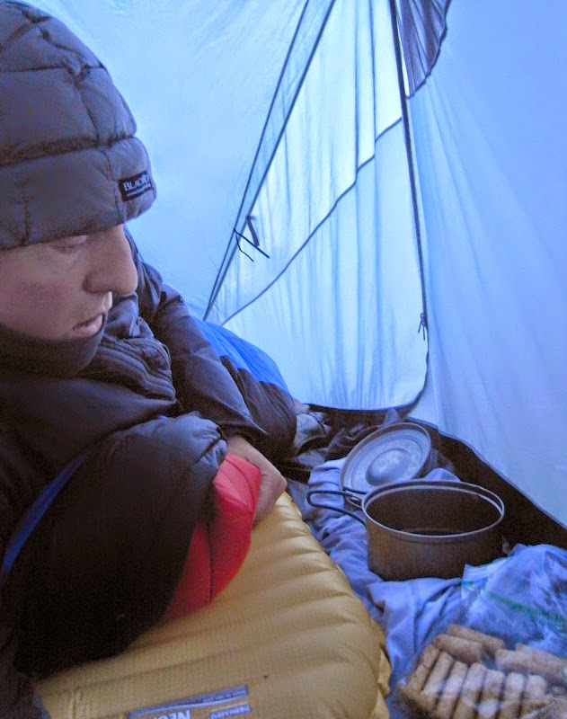
I’m done, snowing again. Matt stops with me and Tom kicks on as his tarp is not going to pitch on this terrain. Hands like claws struggle with the tent.
Once it is up I put everything dry on and get into my bag. Anything with fat or sugar, or just anything that does not need cooking is eaten. It takes around three hours before I feel warm.
Lake City Nero and Zero: 5 flat and downhill mesa-miles
The Kraken wakes.
We pitched at about 3,350m but it did not feel cold through the night – perhaps the snow warmed things up. Life creaks into action courtesy of the sun as it warms and lifts things out of their reverie, even me.
The mesa is like something out of a film, a 3,500m alpine chaparral that is table flat for huge expanses. The trail is so straight here, a no-nonsense ‘get walking’ signpost to move on.

I don’t like to think of Tom dropping through this tumbled talus yesterday when it was snow covered; or perhaps I do.
But then we get into the forest, then onto blacktop and another pickup truck ride down to Lake City.
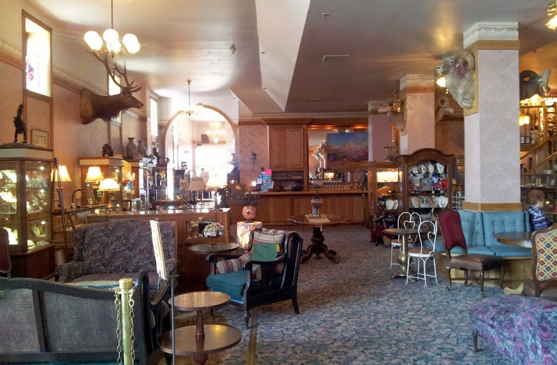
Tom’s there and ready for breakfast. The Raven's Rest Hostel is great; run by Lucky, a well-named guy who did get lucky when he met his wife while doing the PCT.
So, more Cherry Garcia, laundry, eating, resupplying, and eating. After a day of repose Lucky shuttles us back to Spring Creek Pass at 3,300m, which was good of him. Driving me to Durango would have been better.
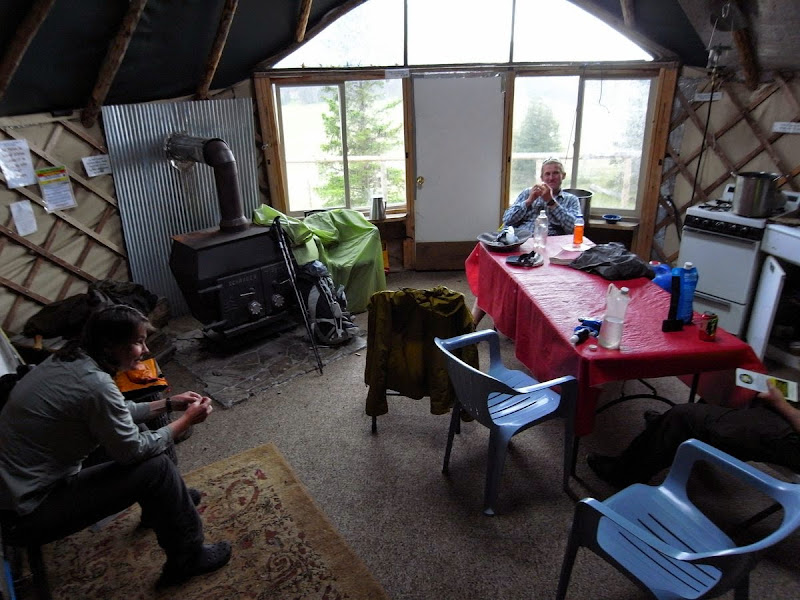
Yurt: 9 miles and 400m
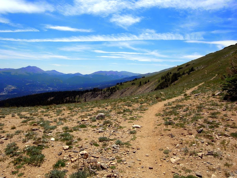
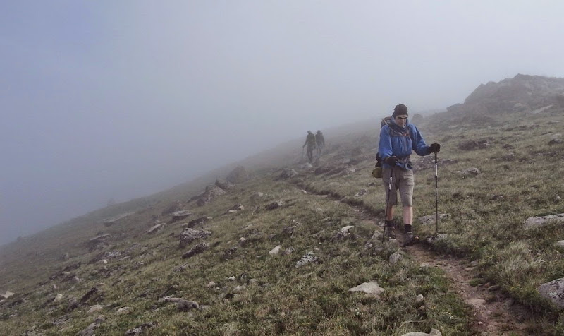
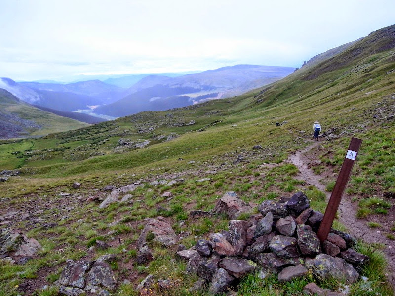
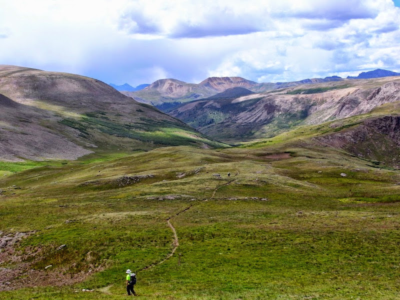
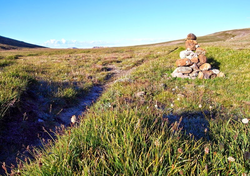
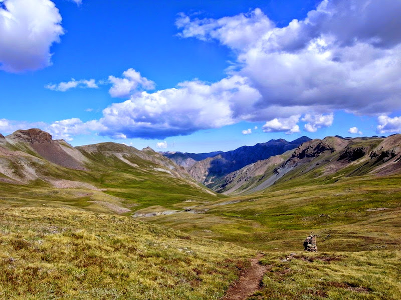
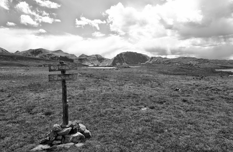
This next section leads to the high point of the CT, but not this day. We set out across a fine high plateau following small cairns and posts.
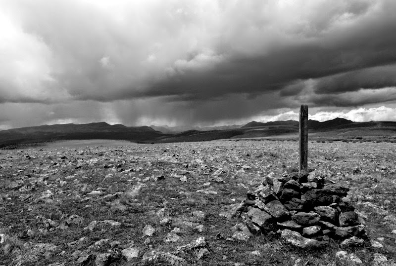
Luck is with us as thunderstorms pass to either side, but luck only takes you so far – 9 miles in this case as we take refuge in a Yurt and the day’s rain become incessant. And in the yurt we stay. It’s a nice yurt.
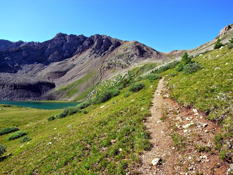
High point of the CT: 14 miles and 1100m
This is a hard day for me, the altitude kicking me around a lot – even now, 370 miles in to the trail.
The day dawns frozen solid and very bright.
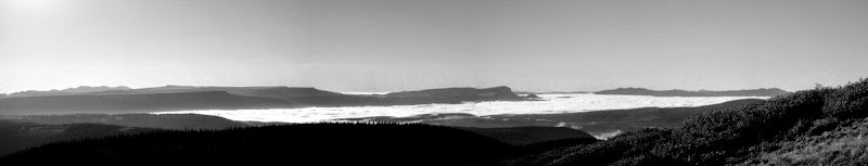
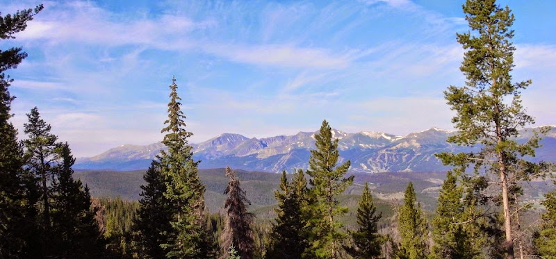
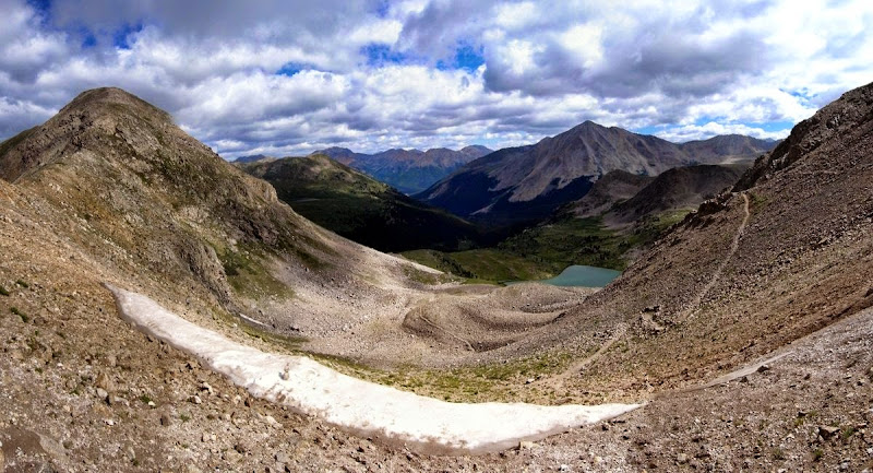
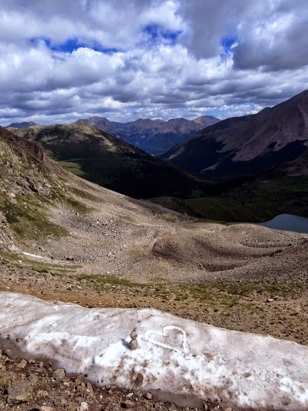
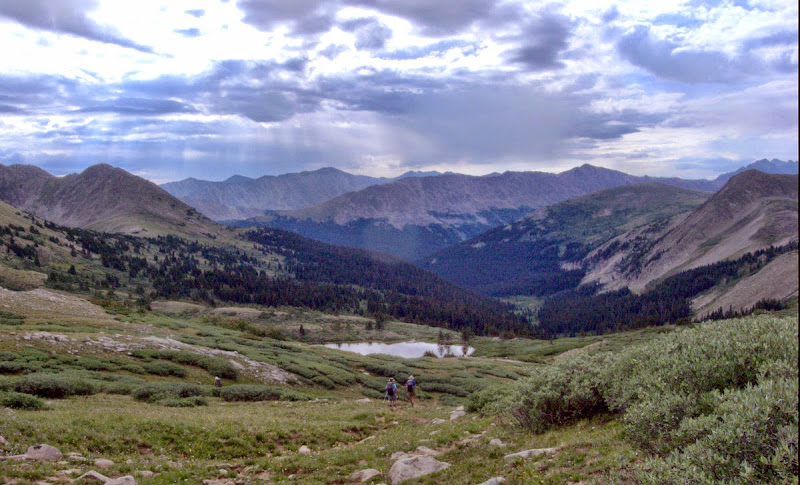
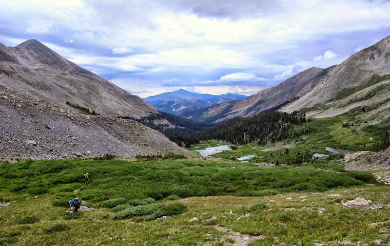
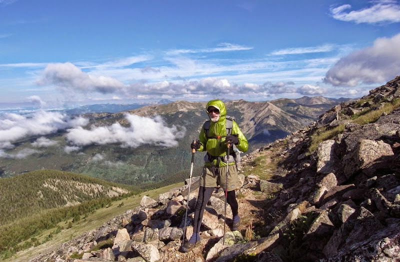
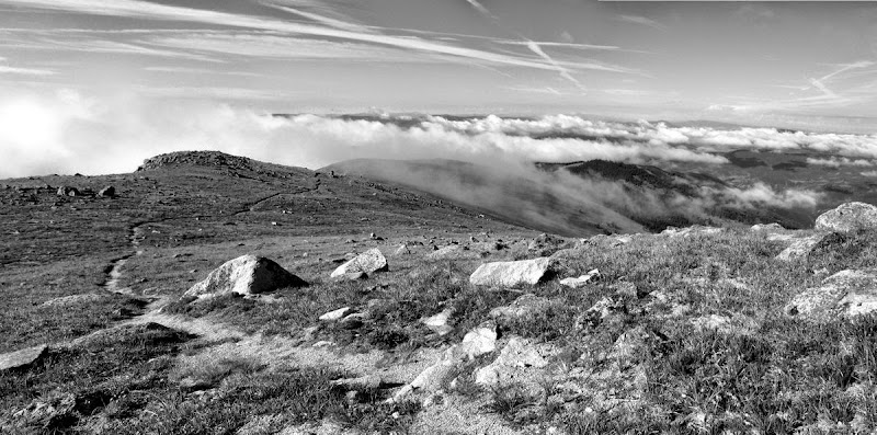
These high plateaus are very fine and we trace them at their edge, along a deep escarpment running south-east. The next shot is taken just before the highest point on the trail at 4,045m. Cloud inversions cloak the distant plains.
Tom’s well ahead – he needs to make time now as his flight is booked. Matt feels sorry for the gasping Brit and goes just fast enough to make me suffer. I’d get my own back but he wisely does not tarry long at cliff edges.
From the roof of my world we drop down to Carson Saddle – a (to me) unattractive mining and ATV recreation area. We are soon free of it and on to better things though.
The last we will see of Tom today, I think he thought we’d follow….but I got all weak by the nice-looking Cataract Lake.
Sick of altitude attitude.
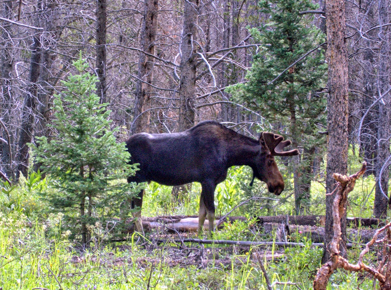
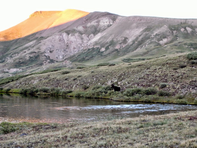
More or less squared away for the evening when there’s a shout from Matt and some drumming hooves – a moose is in the lake and then off.
Stony Pass Trailhead: 19 miles and 1060m
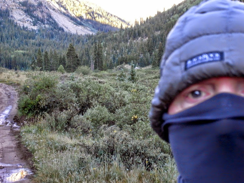
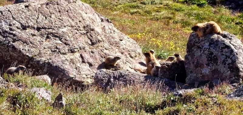
While Matt does his best ‘sleeping ugly’ impression I set off from our highest camp on the trail at 3,700m into a bitterly cold morning. He’s going to be real pissed as I see another bear later on.
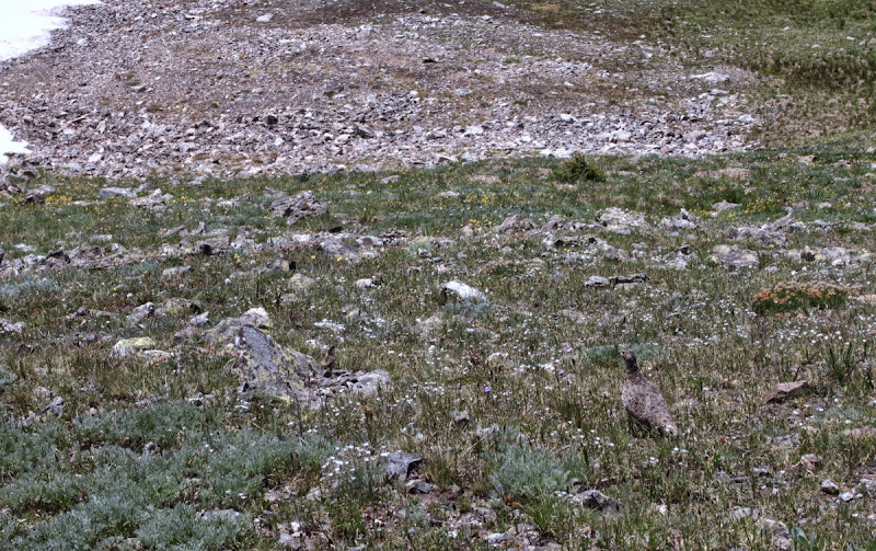
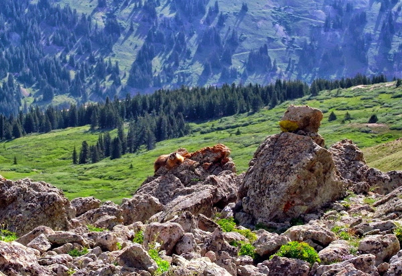
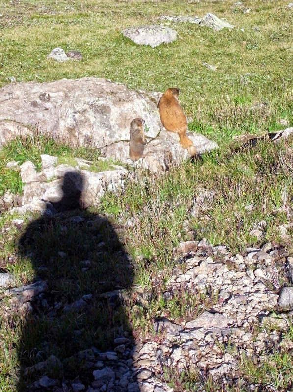
A family of Marmot with young.
Bear. OK, so it is a long, long way away, but man was it shifting across the landscape.
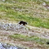
Maybe it was a bunny.
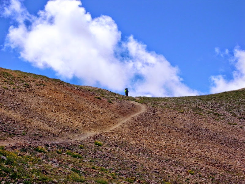
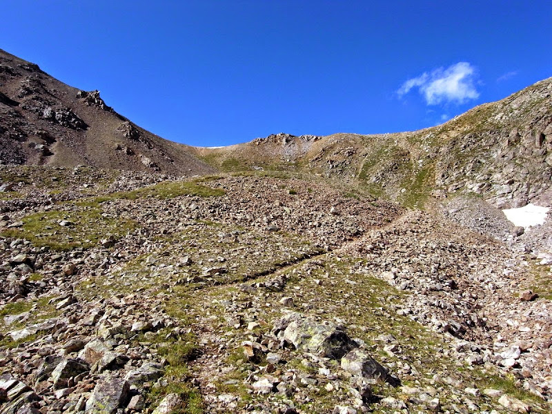
A great steady climb to almost 4,000m.
The racing snake re-joins me at about this point; I don’t have the heart to tell him I waited and dried my tent. Odd though it seems to me we are now crossing the headwaters of the Rio Grande.

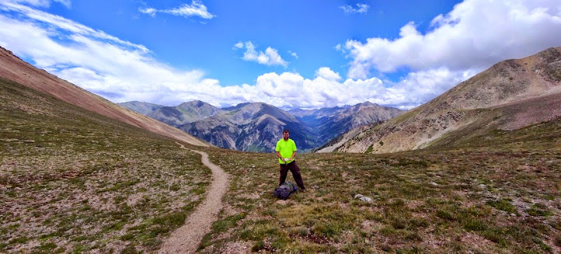
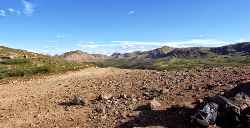
We hit the trailhead at Stony Pass (3,817m) early afternoon.
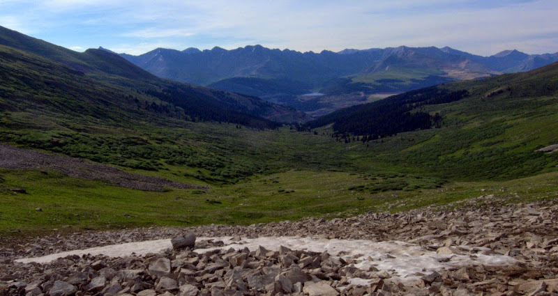
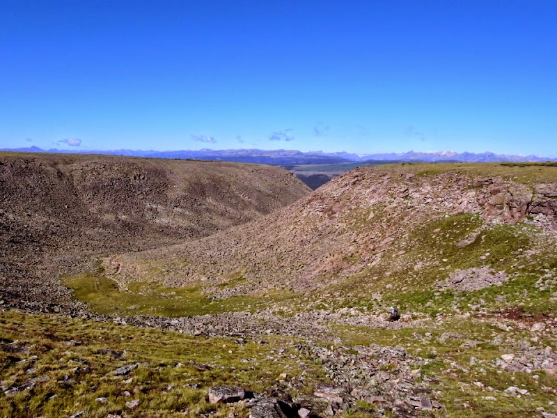
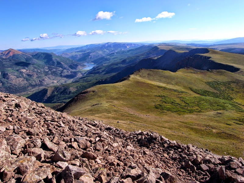
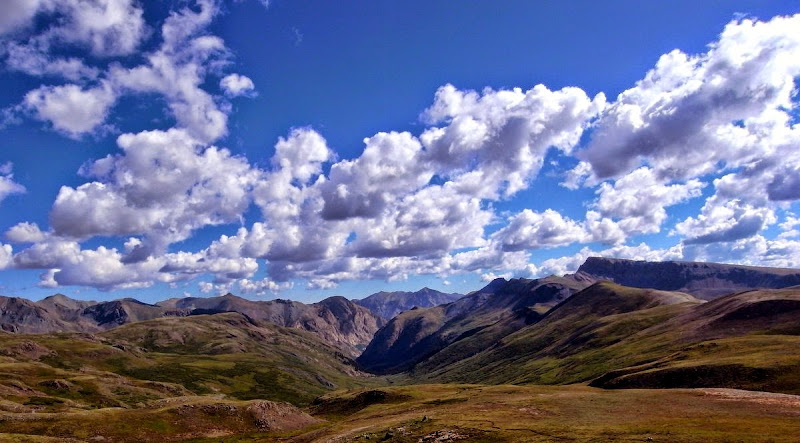
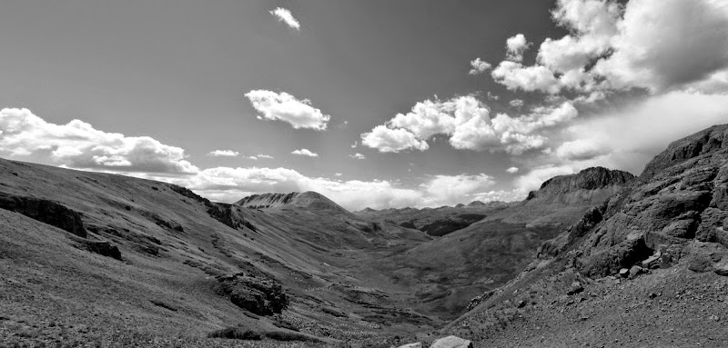
The Weminuche Wilderness that we are about to enter is a very fine diversely scenic section of the trail. We will leave the Continental Divide trail here after nearly 300 miles of it.
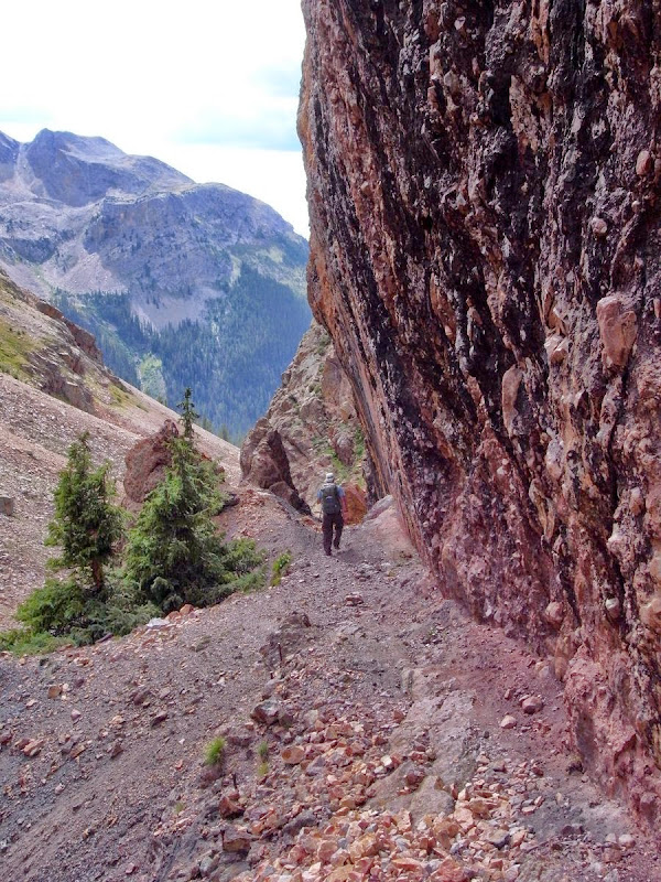
Descending Elk Creek is spectacular, dropping from sub-alpine plateaus and meadows into a steeply walled canyon carved out of the landscape.

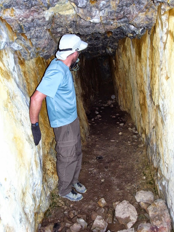
Remnants of mining….I did cajole him into going further in.
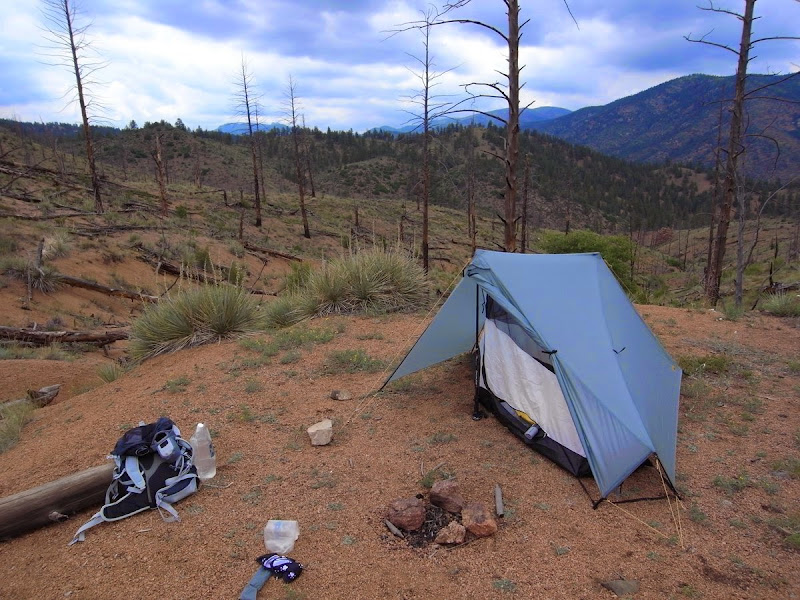
I’m tired and there’s only a road and possibly (ugh) ‘people’ to head towards, so we call it a day, light a fire, and chill or ‘warm’.
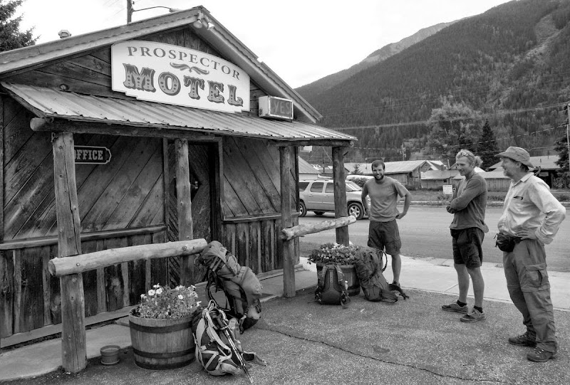
Silverton resupply: 11 miles 300m
An easy drop through the wooded section of Elk Creek and then a climb to a hitch into Silverton awaits.
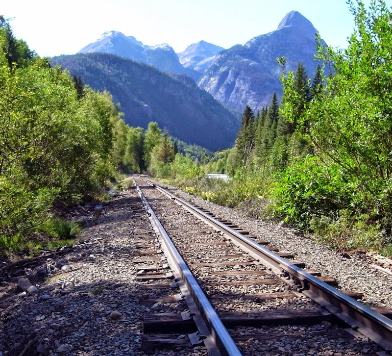
We hit the tracks of the Durango (getting close)-Silverton Railway and then climb out of that gorge.
The usual ‘are you in Silverton yet?’ texts come in, and Tom is waiting, then Bart rolls in. We split the last two rooms at the Prospector Motel….and gaze with incredulity at respective loads carried.
The Silverton Montanya Tasting Room (also brews Rum) is a great place to hang out; and later stagger out of.
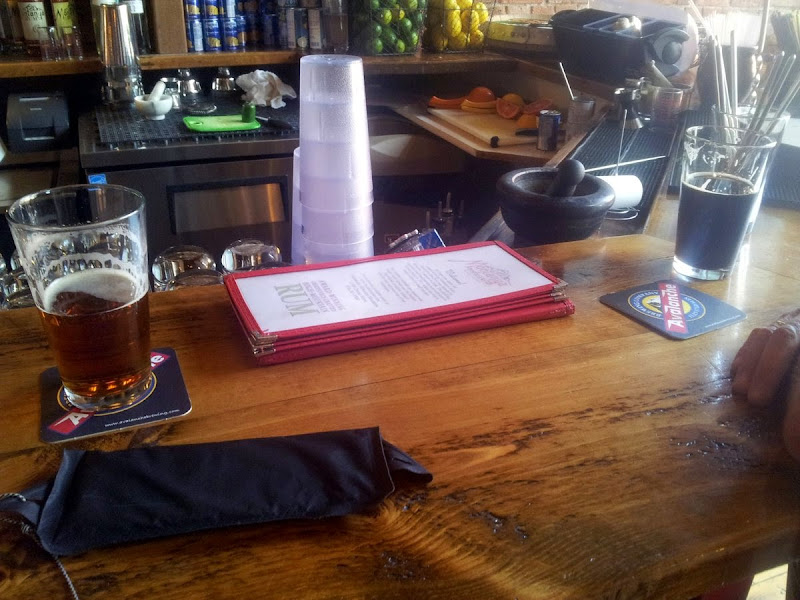
Then I make the big mistake of the trip…a small bottle of cognac, Matt goes for bourbon; what was I thinking!
High Altitude Hangover: 8 pathetic sick miles…250m
Tom (Mr Goody Two-shoes) has long gone by the time Matt and I hitch back up to the pass. I think I ate a bad burger. Not quite at my best.
We meet a great group from Durango and talk for the best part of an hour – they think it’s great we are heading their way to finish the trail – and promise to leave us a ‘cooler gift’ at the Durango Trailhead the day we arrive. Alcohol again.
We never learn.
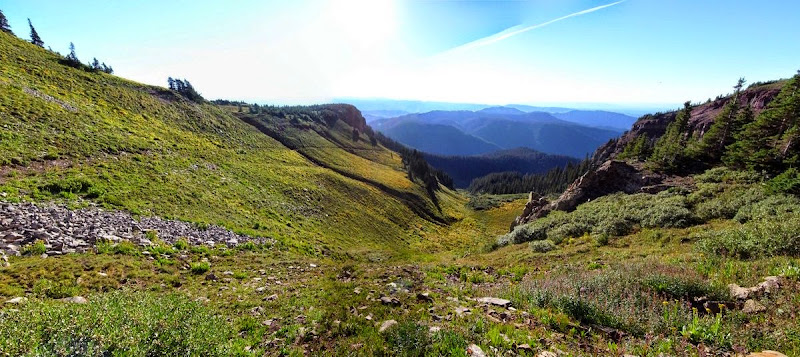
Penitence, a dry stretch: 23 miles and 1150m
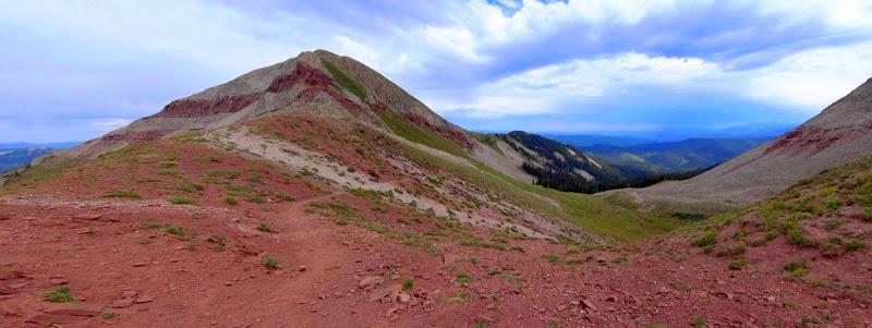
We have recovered and set off for Blackhawk Pass (3,635m) – which is red in actuality.
A day I have few recollections about really, we just pushed on at a good pace.
Penultimate day: 21 miles and 1300m
A superb day which follows a series of ridges for nearly 20 miles, dipping in and out of forested areas on the way to a good last night lakeside campsite.
The CT databook suggest that there is no water on this section so we cameled up and carried a fair bit, and then of course found water.
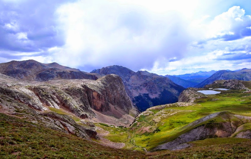
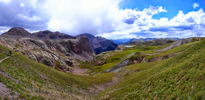
The last few miles along the Indian Trail ridge were particularly spectacular, walking on multi-coloured rock with vast views of Colorado’s mountainscapes.
Taylor Lake.
In the woods drinking Bourbon with a bearded banjo-playing woodsman for the last time.
Durango Terminus: 23 miles and 600m
The last day, we really don’t hang around and push it pretty hard. Perhaps it is that ‘wanting to finish’ thing that is replaced with the ‘wish I was still walking thing’ as soon as you stop?
Of course there is a huge very loud thunderstorm; refuge is taken under a tree (ooops) for quite some time.
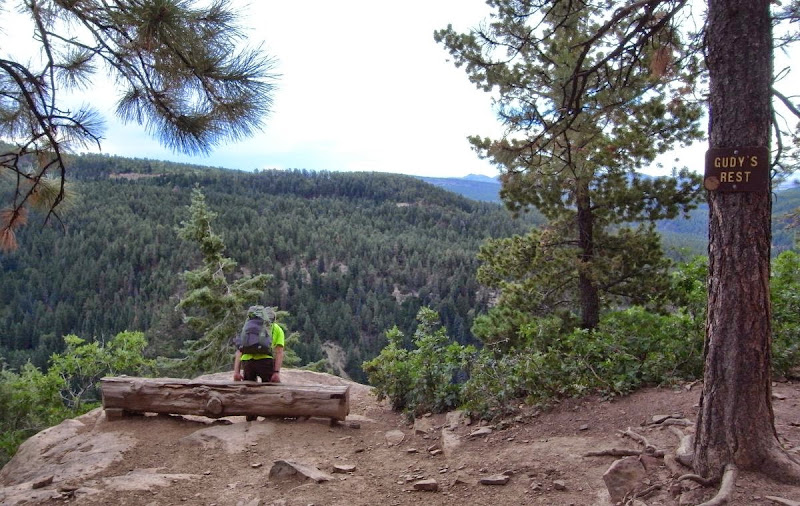
At Gudy’s Rest a few miles from the end of the trail I text Pete – he and Mary are walking up the trail to meet us. Great to see Pete and his wife, we are feeling pretty damned good.
And at the trailhead the group we met two days ago have come through, leaving us cans of ice-cold IPA in a cooler.
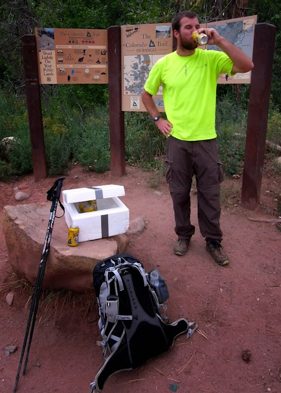
That’s it.
Mile 486.
Finished; although a part of what was me will always be out on the Colorado Trail.