TITLE: Potluck Pass
GENERAL OVERVIEW: This pass leads between Palisade Basin and the Glacier Creek Drainage. It is part of the Sierra High Route
CLASS/DIFFICULTY: Class 2
LOCATION: Kings Canyon National Park directly to the Northwest of Lake 11,676 which drains Glacier Creek. HST Map
ELEVATION: 12,146
USGS TOPO MAP (7.5'): North Palisade
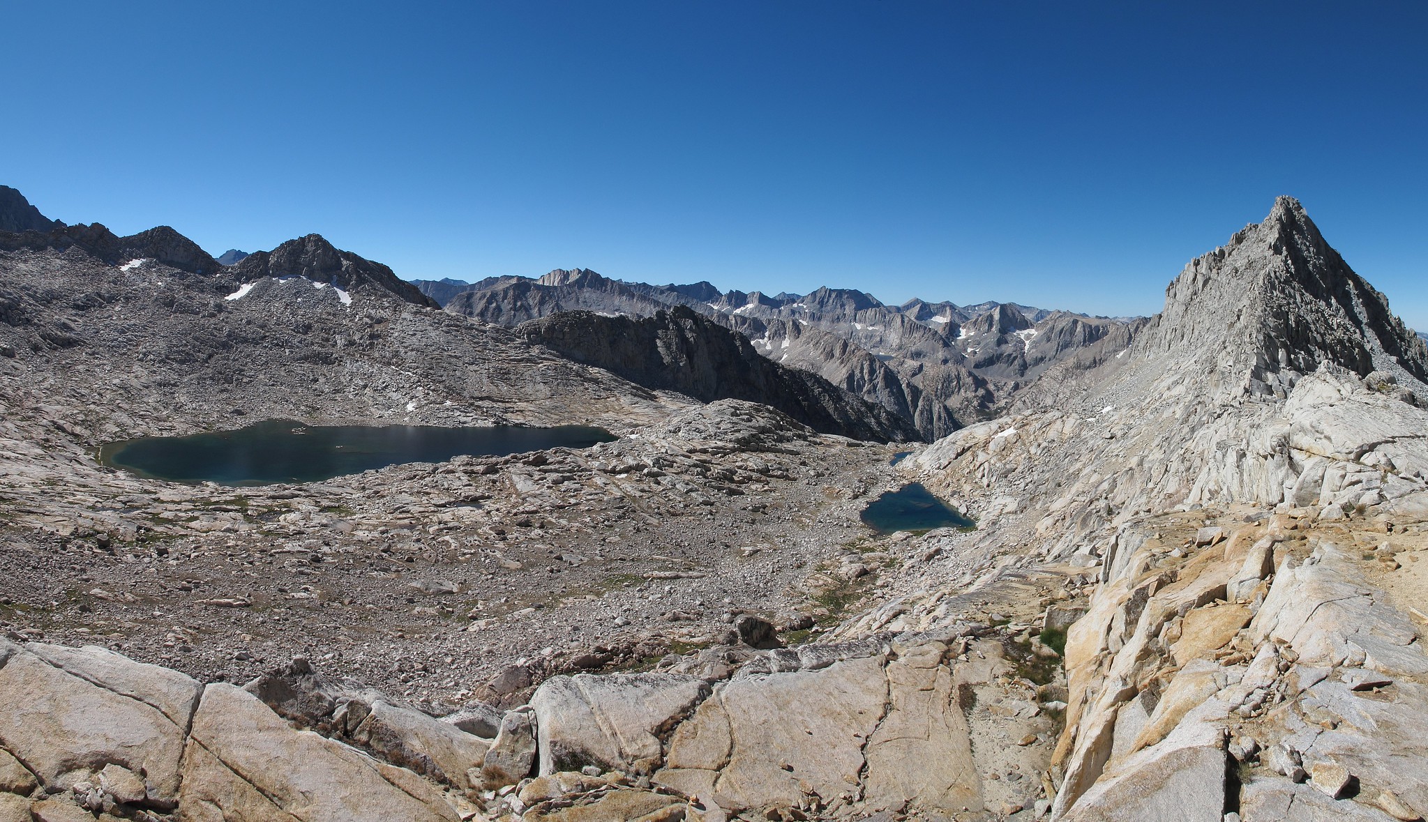
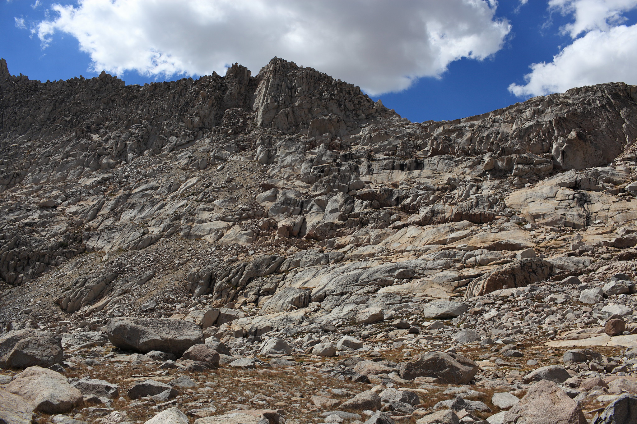
ROUTE DESCRIPTION: The West side of this pass is straightforward and follows along easy benches from the Barrett Lakes. The top of this pass one needs to contour around small micro-cliffs but finding a Class 2 route should not be difficult.
The East side of this pass actually have a very distinct sandy use trail that starts slightly to the South of the actual pass. Follow the use trail down to where it peters out and then you follow along some ledges and benches until you hit grassy slopes leading down to Lake 11,676.
Potluck Pass
-
alpinemike

- Topix Expert
- Posts: 437
- Joined: Thu Oct 13, 2011 12:00 pm
- Experience: Level 4 Explorer
- Location: Reno, NV
- Contact:
Potluck Pass
Never put off a backpacking trip for tomorrow, if you can do it today...
Alpine Mike-
http://mikhailkorotkinphotography.com/" onclick="window.open(this.href);return false;
Alpine Mike-
http://mikhailkorotkinphotography.com/" onclick="window.open(this.href);return false;
-
RoguePhotonic

- Topix Fanatic
- Posts: 1695
- Joined: Thu Mar 24, 2011 9:52 am
- Experience: Level 4 Explorer
- Location: Bakersfield CA
- Contact:
Re: Potluck Pass
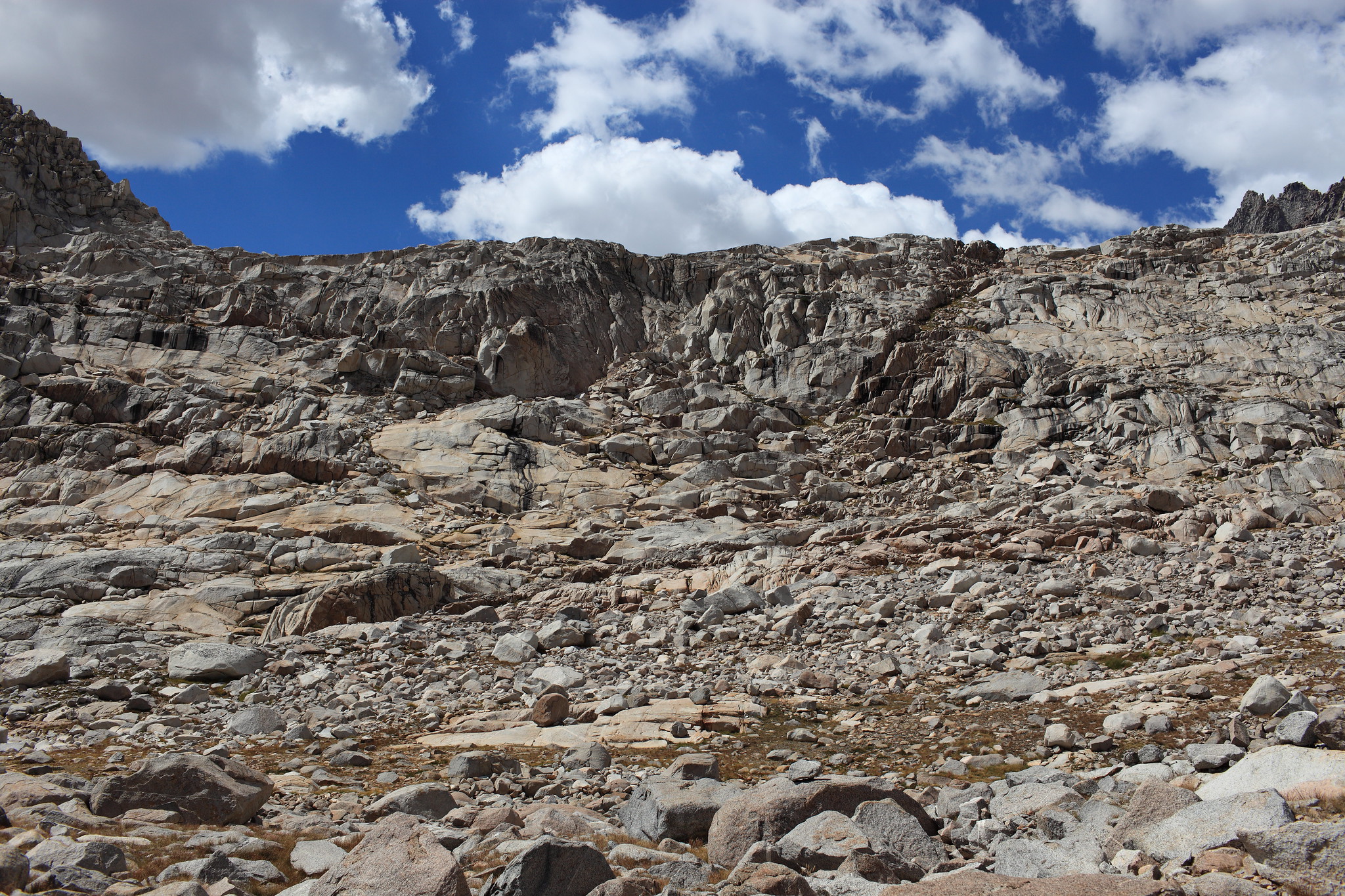
ROUTE DESCRIPTION: If your crossing from the North go to the right (West) side of the pass to find the ledge system.
If traveling North the use trail system that Mike describes is to the left on a slope that at first look seems miserable but is quite easy. The over all look had me in 2012 decide not to climb it and head for a grass ramp in the middle of the pass. This route can also be climbed yet involves some high level technical class 3 or perhaps low class 4.
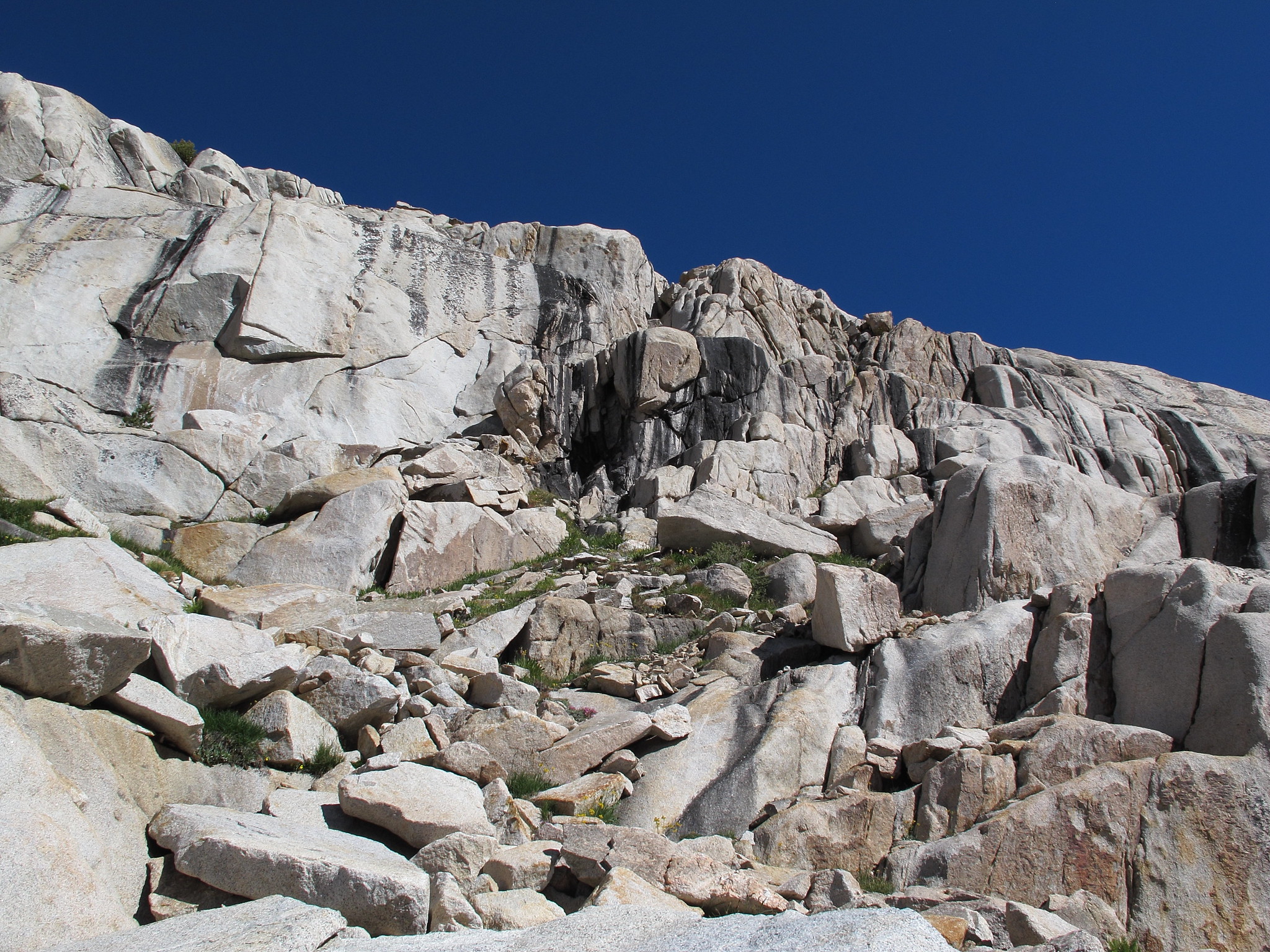
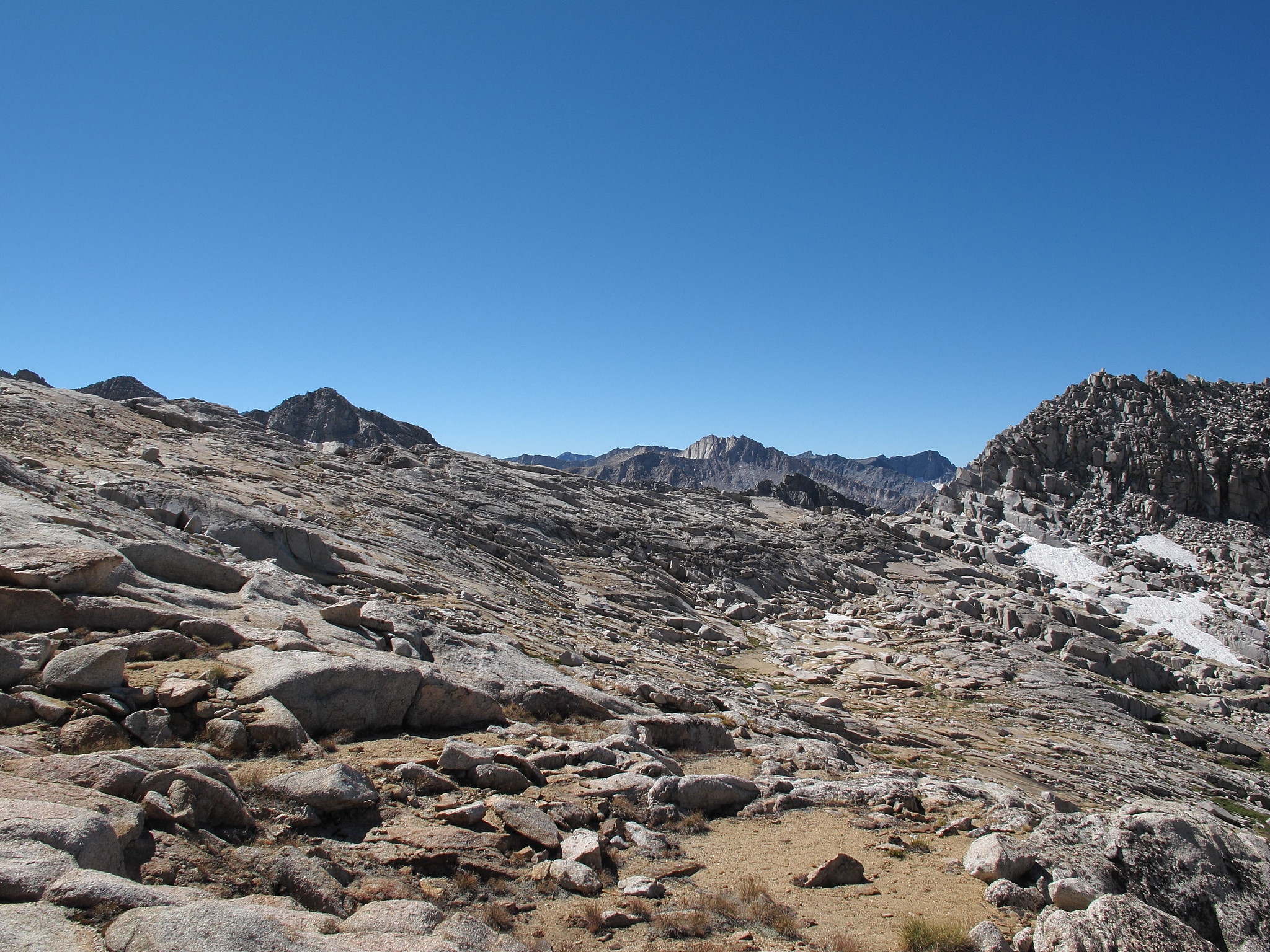
Route from center of the pass:
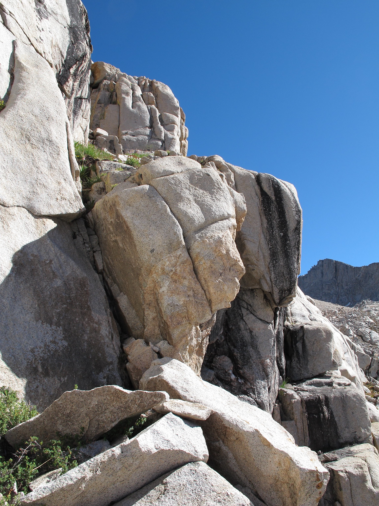
This notch between the rock is the crux of this route. It's tedious with a pack on because the only available hand holds are far above your head and I was forced to use some friction for my back to maintain stability.
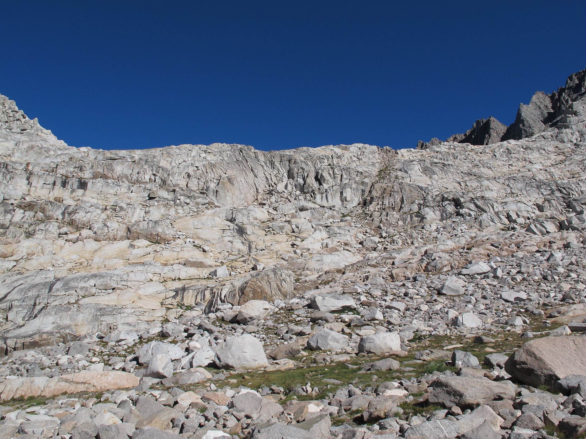
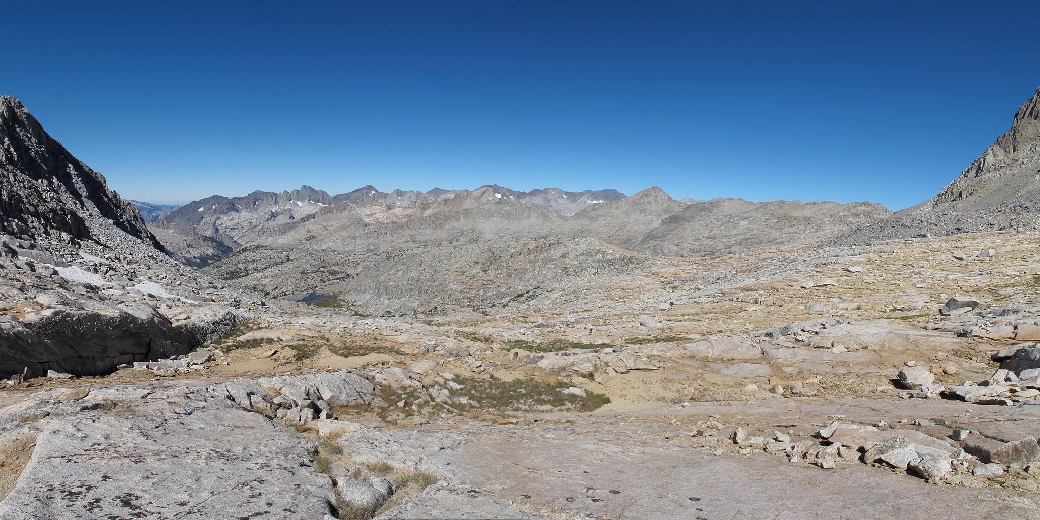
Standard route on the West side of the pass: The use trail is in the sandy area.
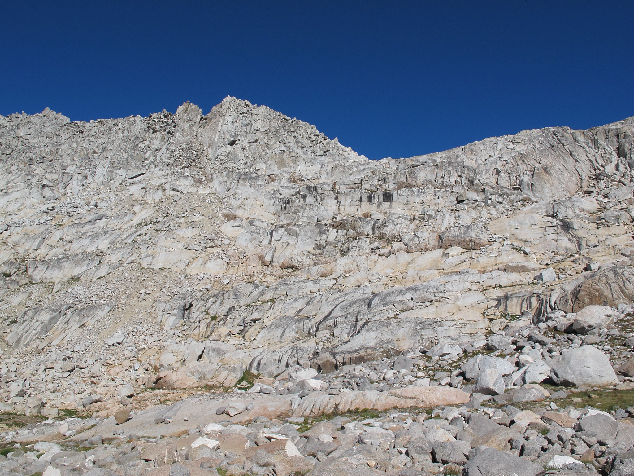
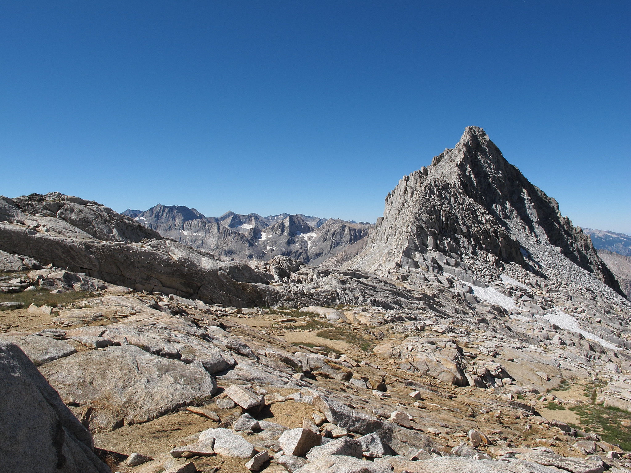

If traveling North the use trail system that Mike describes is to the left on a slope that at first look seems miserable but is quite easy. The over all look had me in 2012 decide not to climb it and head for a grass ramp in the middle of the pass. This route can also be climbed yet involves some high level technical class 3 or perhaps low class 4.
Route from center of the pass:
This notch between the rock is the crux of this route. It's tedious with a pack on because the only available hand holds are far above your head and I was forced to use some friction for my back to maintain stability.
Standard route on the West side of the pass: The use trail is in the sandy area.
Who is online
Users browsing this forum: No registered users and 2 guests