GENERAL OVERVIEW: This pass leads from Wampum Lake to Three Island Lake
CLASS/DIFFICULTY: Class 2
LOCATION: John Muir Wilderness in Sierra National Forest. Located on the ridge-line directly Northwest of Wampum Lake. HST Map
ELEVATION: 11,697
USGS TOPO MAP (7.5'): Mt. Hilgard
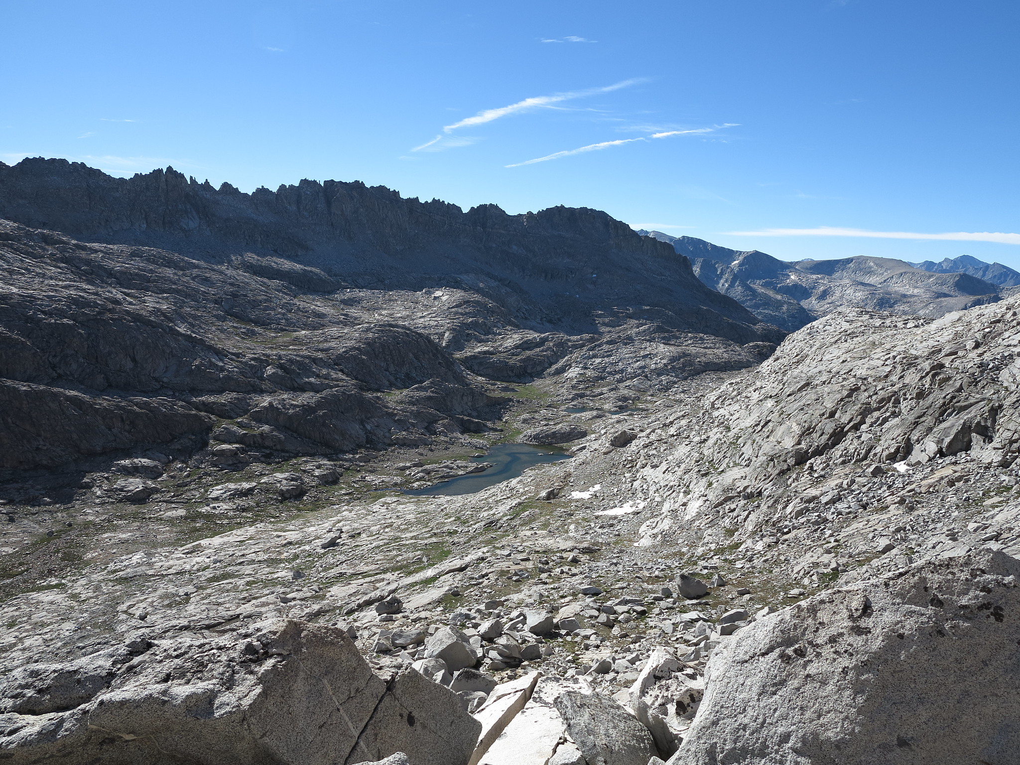
ROUTE DESCRIPTION: From Wampum Lake the route is fairly straightforward along benches and boulders. There were no major obstacles encountered when we traveled this pass. There are micro-cliff bands as evidenced in the first photograph that can be negotiated fairly easily if one is paying attention.
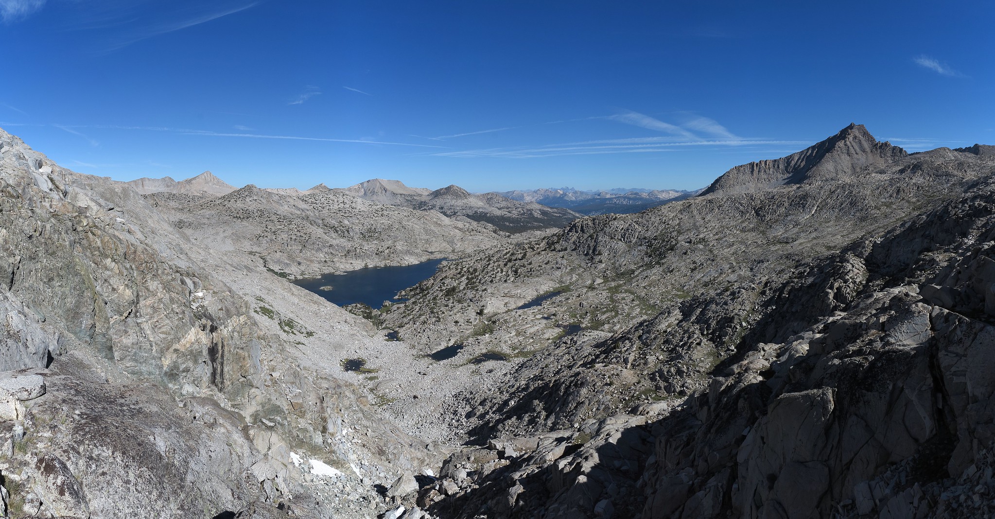
The route down to Three Island Lake which is the Northwestern side of the pass we did not follow down but from the look of it it looks mostly class 2 terrain all the way down. There are a lot of boulders in the chute looking straight down. Some may be unstable but I can't comment on them since I haven't traveled on that side of this pass. From Three Island Lake as evidenced in the photo there are cliffs that can be bypassed on their Northern side. The photo will give an idea of a possible route.
- The pass is directly in the center.