
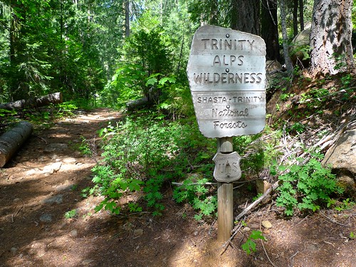
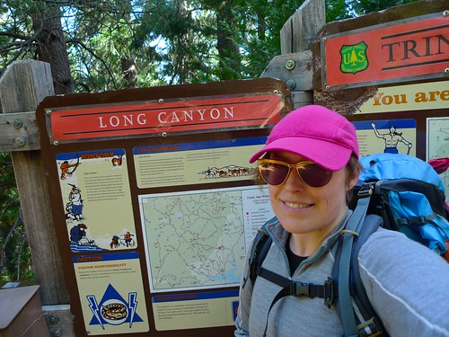
Entering the wilderness about a mile in by snackronym, on Flickr
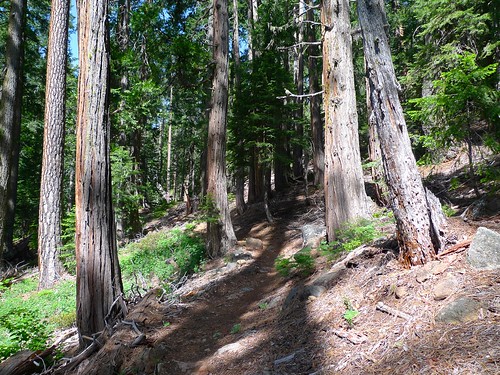
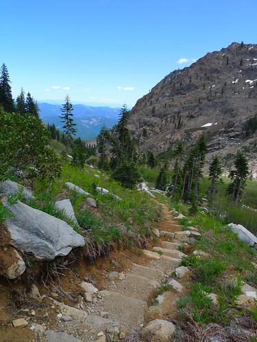
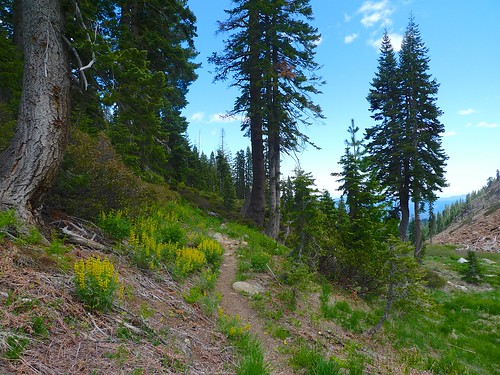
The first few miles are heavily forested by snackronym, on Flickr
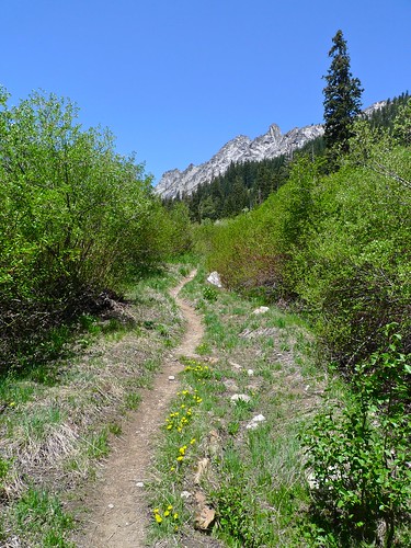
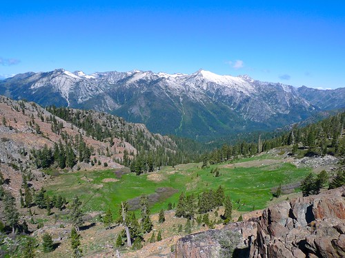
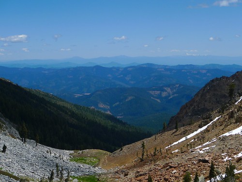
The trail exits the forest and the views begin to open up to Gibson peak by snackronym, on Flickr
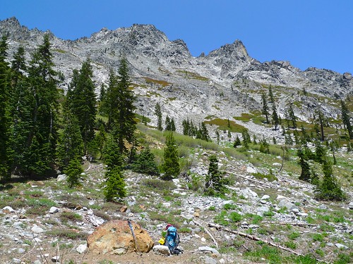
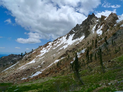
The trail follows the dramatic granite wall of Gibson before crossing the main stream in Long Canyon by snackronym, on Flickr
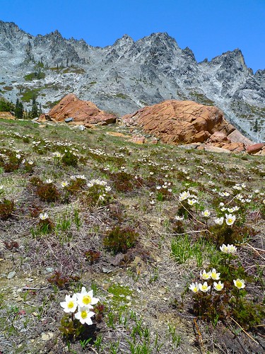
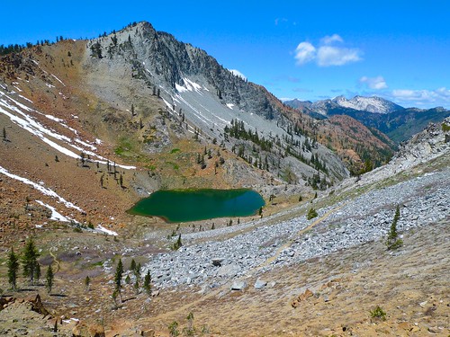
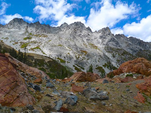
This area is at the confluence of many different types of rock, making it very colorful. by snackronym, on Flickr
The views are great atop Deer Pass. Siligo Peak and Deer Lake in the foregrund and the White Trinities in the background. by snackronym, on Flickr
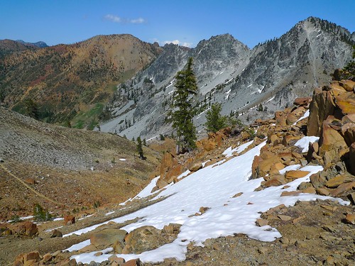
Atop the saddle before Summit Lake. The orange peak on the left is Seven Up Peak. by snackronym, on Flickr
Summit Lake, my home for the night. Feeling pretty good about the time it took me to get here. I was on the trail at 10am and at Summit lake at 3:30pm. That's 8 miles and 4200 feet of elevation. by snackronym, on Flickr
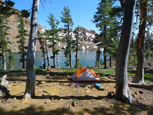
Camp at Summit Lake. I had the lake entirely to myself. Actually, I had the whole loop to myself. After seeing a couple at the trailhead headed up like me, I passed a few parties leaving on the trail and then never saw another soul the whole trip. by snackronym, on Flickr
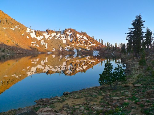
Sunset reflections at Summit Lake. by snackronym, on Flickr
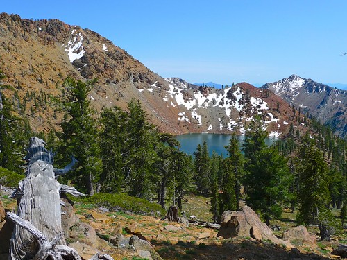
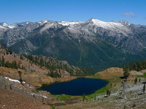
The pass above Diamond Lake offers the first up close views of the White Trinities and Stuart Fork way below. by snackronym, on Flickr
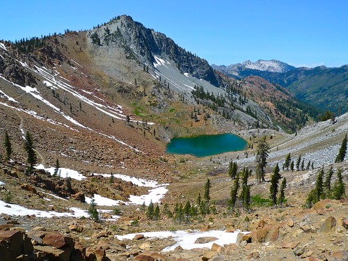
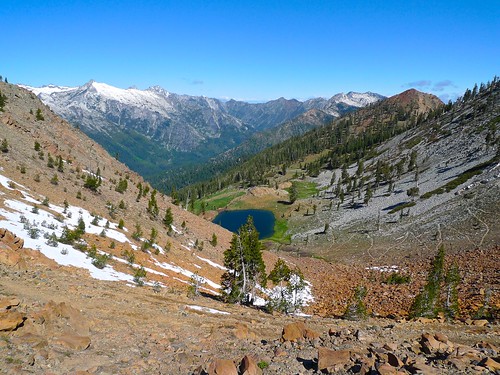
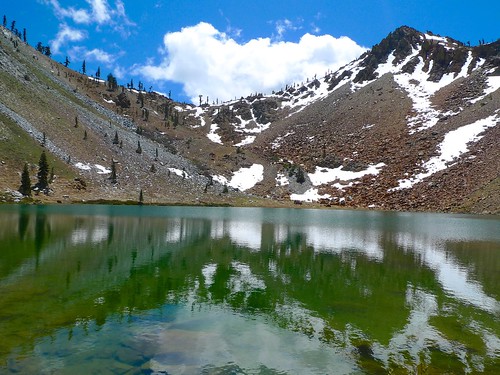
Diamond Lake and the White Trinities. This spot was spectacular. by snackronym, on Flickr
White Trinities seen from the Four Lakes Loop between Diamond and Luella Lakes. by snackronym, on Flickr
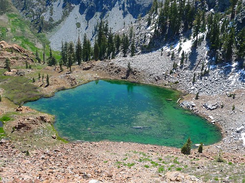
Luella Lake by snackronym, on Flickr
Finally down to the Deer Creek Valley. To complete the loop, I've got to ascend that saddle way off in the distance. by snackronym, on Flickr
Deer Lake looking up at Deer Pass. I'm a little worried about those clouds, so I move quickly. by snackronym, on Flickr
But I can't stop taking pictures of this view. by snackronym, on Flickr
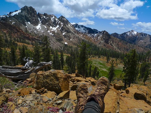
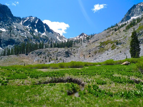
Unnamed peaks, Upper Siligo Meadow, and my feetsies. by snackronym, on Flickr
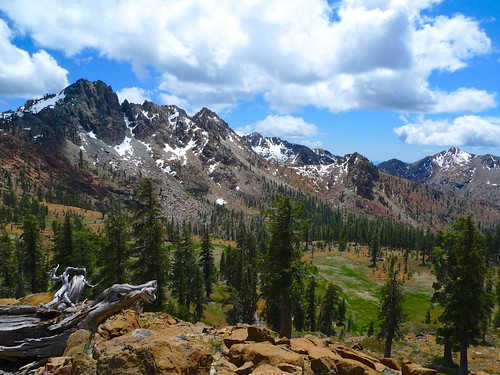
The view is great and always changing with the clouds casting shadows here and there. by snackronym, on Flickr
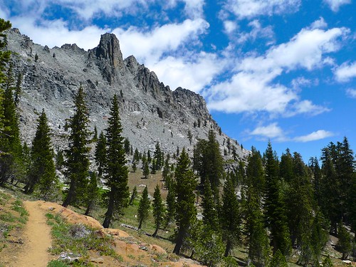
Headed across to Bee Tree Gap, the granite walls of Gibson loom above. by snackronym, on Flickr
At Bee Tree Gap. You can barely see Shasta in this photo off in the distance on the right. I'll get to look at this view for the whole way down until I enter the forest. by snackronym, on Flickr
Unnamed peaks to the south of Bee Tree Gap. by snackronym, on Flickr
Looking across at the granite of Gibson from the hanging meadow. by snackronym, on Flickr
Lots of this on the way down. It's a knee buster for sure! by snackronym, on Flickr
Yellow Lupine makes up for the lack of rocky peaks. by snackronym, on Flickr
And I'm back! by snackronym, on Flickr


