Pyra Queen Col
Posted: Wed Apr 02, 2014 6:41 pm
TITLE: Pyra Queen Col
GENERAL OVERVIEW: This pass leads between 9 Lakes Basin and Lake 11,682 and Kaweah Basin
CLASS/DIFFICULTY: Class 2 - very loose scree
LOCATION: Sequoia National Park | on the HST Map
ELEVATION: 12,850
USGS TOPO MAP (7.5'): Triple Divide Peak
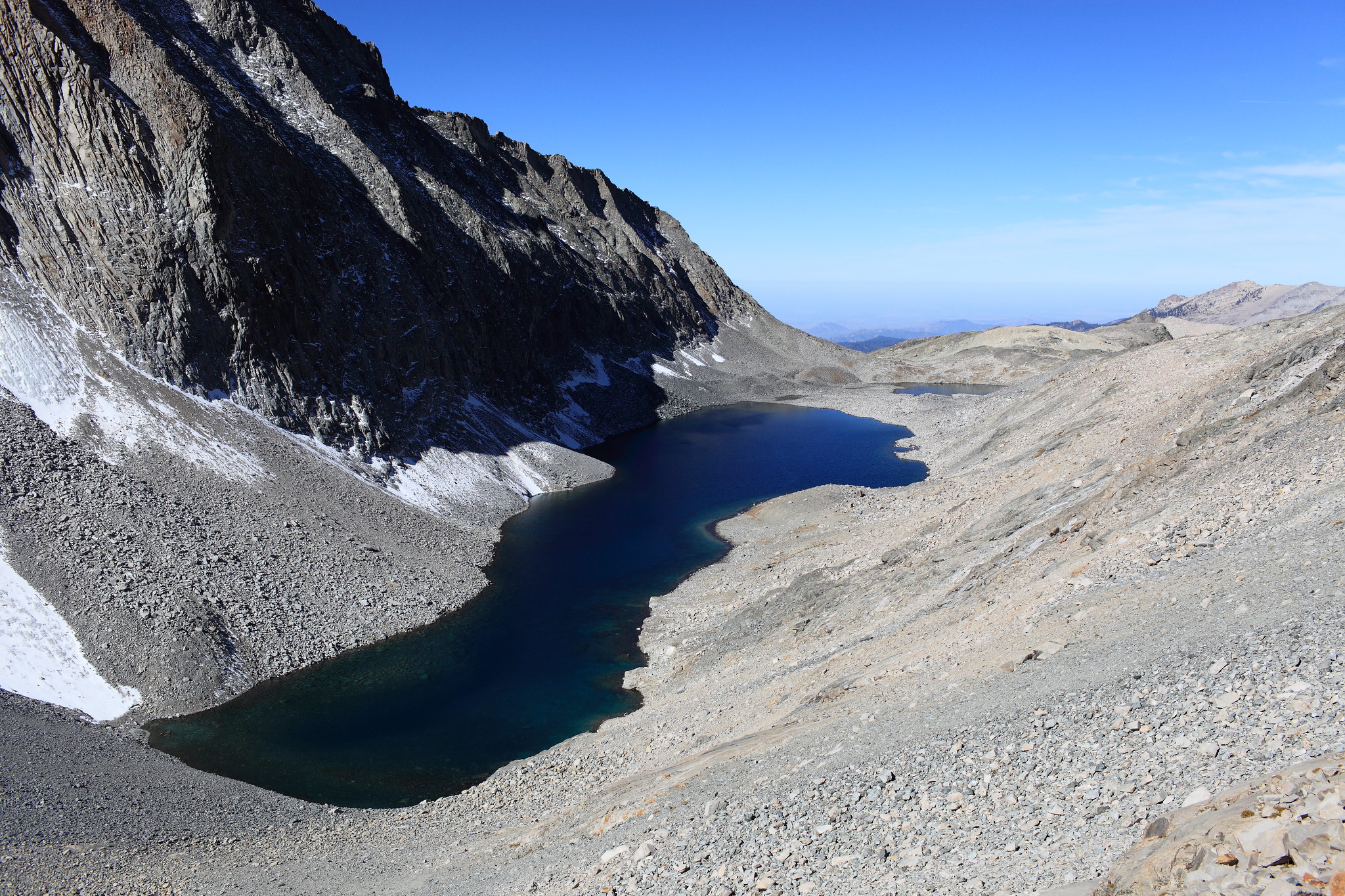
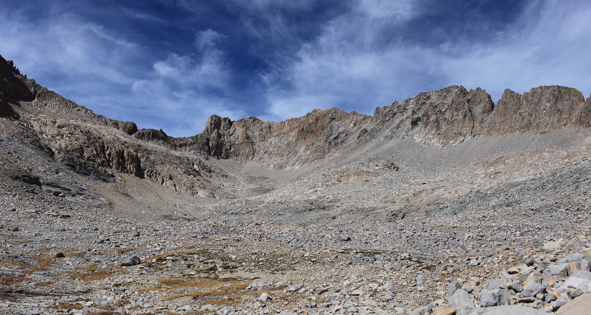
ROUTE DESCRIPTION: If traveling West to East a couple initial options are available. The route I took was to leave lake 11,680 on it's SE shore moving up a gentle slope. Angle along the hillside moving towards the center of the valley below the pass. The problem with this was I encountered several class 3 sections and had to deal with a great deal of miserable scree. Due to this I think the best bet would be to tackle the large talus between Lake 11,680 and Lake 11,682 and maintain lake level until you are forced up the loose scree. Head directly up the scree until you reach some large outcrops of granite slabs. Zig zag up this until you have to angle to your right for the Col itself which is an obvious notch. The last fight to the top is steep yet no more difficult than anything you have already done at this point.
Once on the East side you will continue down the slope moving South until you can begin directly down the hill and begin angling back to the North. Continue far enough to avoid some steeper cliffs on your right and then you will be able to make your way directly into Kaweah Basin below. The trip from below the Col on the East side involves talus hoping most of the way down into the basin.
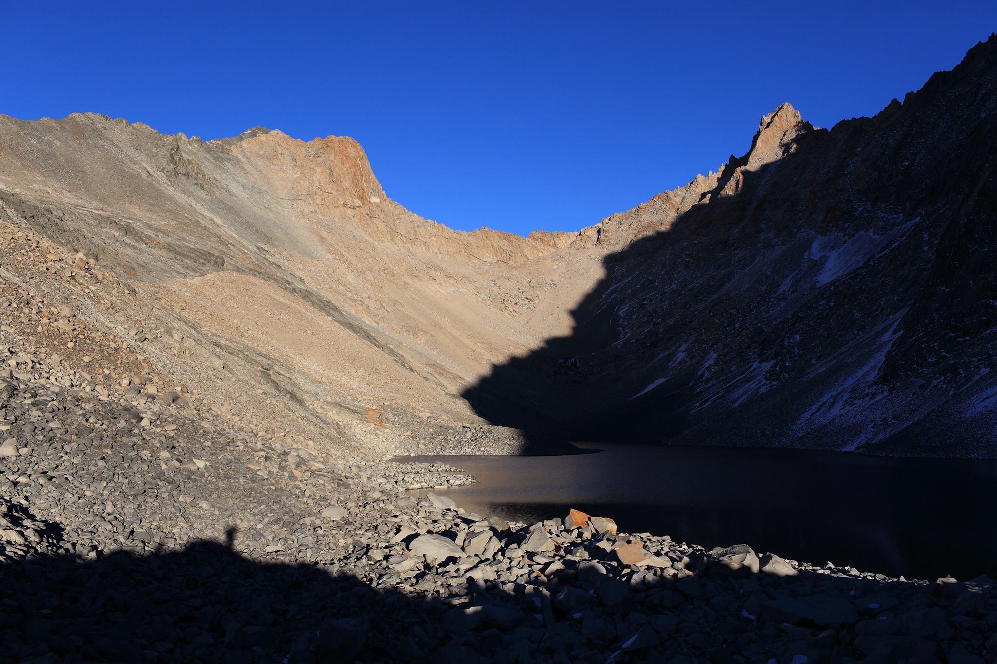
Unfortunately I only took a single photo of the West side of the pass.
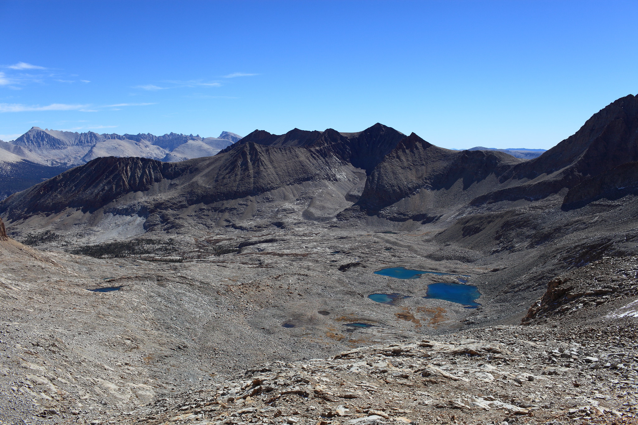


This is where you can begin to angle into the basin.

GENERAL OVERVIEW: This pass leads between 9 Lakes Basin and Lake 11,682 and Kaweah Basin
CLASS/DIFFICULTY: Class 2 - very loose scree
LOCATION: Sequoia National Park | on the HST Map
ELEVATION: 12,850
USGS TOPO MAP (7.5'): Triple Divide Peak
ROUTE DESCRIPTION: If traveling West to East a couple initial options are available. The route I took was to leave lake 11,680 on it's SE shore moving up a gentle slope. Angle along the hillside moving towards the center of the valley below the pass. The problem with this was I encountered several class 3 sections and had to deal with a great deal of miserable scree. Due to this I think the best bet would be to tackle the large talus between Lake 11,680 and Lake 11,682 and maintain lake level until you are forced up the loose scree. Head directly up the scree until you reach some large outcrops of granite slabs. Zig zag up this until you have to angle to your right for the Col itself which is an obvious notch. The last fight to the top is steep yet no more difficult than anything you have already done at this point.
Once on the East side you will continue down the slope moving South until you can begin directly down the hill and begin angling back to the North. Continue far enough to avoid some steeper cliffs on your right and then you will be able to make your way directly into Kaweah Basin below. The trip from below the Col on the East side involves talus hoping most of the way down into the basin.
Unfortunately I only took a single photo of the West side of the pass.
This is where you can begin to angle into the basin.