UPDATE: 2022-07-05
Wanted to share my latest experience traversing this pass.
TERMS
Forgive the liberal assignment of rock classifications but I think it is useful for describing the traverse and challenges encountered by myself.
- Scree - loose, pebble to golf ball sized
- Talus - loose or not, larger than scree
- Boulder - can be loose but usually not, larger than a large ice chest
PATH: West to East (very rough path on
Caltopo)
CONDITIONS: Early summer, no clouds and temperature lows in the high 30’s. Lots of snowfields encountered.
Travel to the bottom of the pass
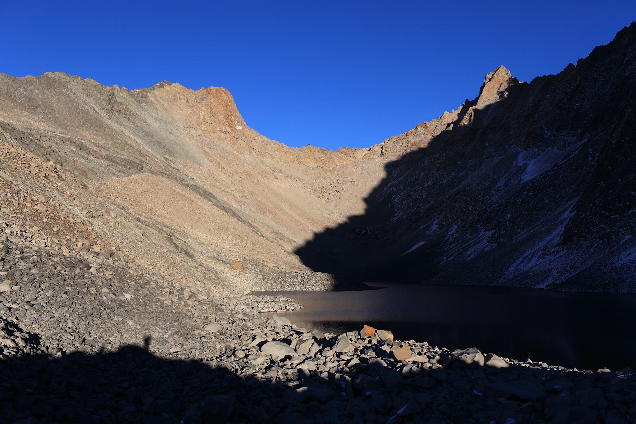
By the first lake 11,680, boulder skipping was the main mode of transport. As mentioned before, I have found that the north shores to be the easiest to traverse. Especially the last lake, where the south shore had a sharper slope and was trimmed with snow banks.
Picture of the south and north shores. Note how much easier the north shore traverse is.
Traversal
Like most passes, the initial frontal view can seem quite steep and intimidating. The reality though is that it is typically between 45 to 60 degrees. This combined with irregularly sized rocks in the soil make any potential fall arrestable. Exert a lot of caution though because it is still possible to get a serious injury, even fatal. The hardest part for me was how loose all the rocks were. There were several times that talus dislodged individually or as part of a smaller rockslide and I had to quickly strafe to avoid it taking out my legs. The rockslides themselves could be very surprising with it ranging anywhere from a foot to several feet wide. During the time of this trip (early July), every movement involved loose scree constantly sliding, making the process very slow and frustrating. The lodged boulders were accessible but not very practical for traversing, due to size, as opposed to doing it over the scree.
Wide picture of west face
Steps to ascend
- Start from the lake level dead center and ascend, just right of the granite outcropping at 11,800.
- Ascend the northern chute from 11,800 to 12,000.
- Go parallel to the granite face outcropping at 12,000 until you get to the southern chute (photo perspective).
- Ascend the chute towards the notch (slightly right of).
- Sidle the large granite outcropping leftward and then up to the notch.
Passing at the notch vs the crevice
Note the green path on the given image. This shows an alternate way to traverse the pass. It is a small crevice that has a drastic climb to the top. I highly recommend against it. While it initially looks like a shorter path, there will be less and less areas to hold on to as you climb. Since the time of the last trip report, this area has become much more barren. The final step to get to the top had a single boulder to the left and required finger and small foot holds to get to it. This required several class 3 moves, with the potential for a long distance fall against sharp rocks. The right side was completely inaccessible, as there were no grips on the side wall and the lip was just slightly dried and slick mud. On top of that, the rocks were very loose. As part of my last move to get to the top, I tested a roughly 4x3 boulder lodged into the wall to see if I could leverage it. It dislodged itself, causing me to swing out of its way and create a large rockslide below. It may be possible that after another season of snow this barren area may have movement again and equalize some but that is just a guess.
 Viewed 358 times")
View on top of the crevice. Unfortunately the last move areas can’t be seen. I was honestly too afraid to step forward any further due to how loose all the rock was.
At the top you will end up in an enclosed space with your only exit to the left (north). The exit leads to an exposed outlook on the top ridgeline (note the green dot in the ascent picture). You must move forward and around the small tooth / spire in front of you. This will then drop you down to a large space as seen below.
Note that you can still get to this higher point from the notch by ascending the ramp that runs parallel to the wall in this picture. To descend just turn right and go down a ramp to start the east side descent and meet up with the notch’s descent path.
Steps to descend
- Descend southward, which will be obvious, forming a natural downward ramp.
- Traverse from south to north until you arrive at the northern chute. Note that snow conditions will yield a shallow lake covered by snow bridges. Make sure to avoid this area entirely.
- During the descent you will encounter snow, talus and boulders. I have chosen frequently to walk or slide over the snow fields. Be careful to not let a rock make your bottom slides unpleasant.
- The constant rock spread will start to yield more grass and dirt going from 11,800 to 11,600.
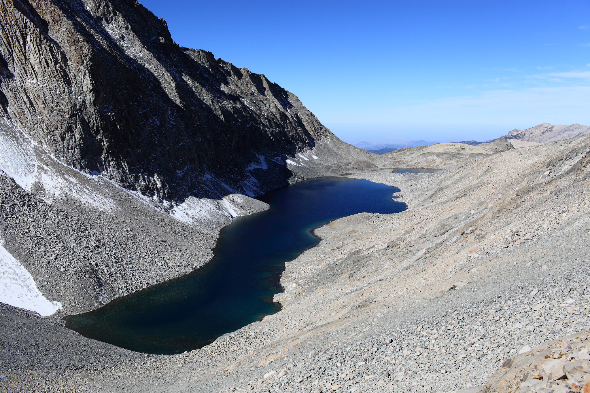
Viewpoint at the top of the pass. Notice the start of the northern chute in the far corner.
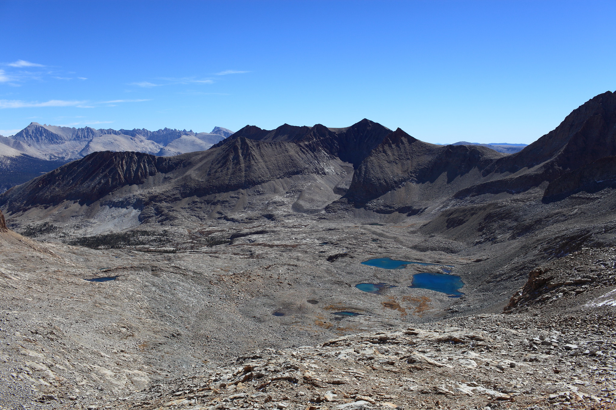
Viewpoint of the pass’s east side before approaching the northern chute.
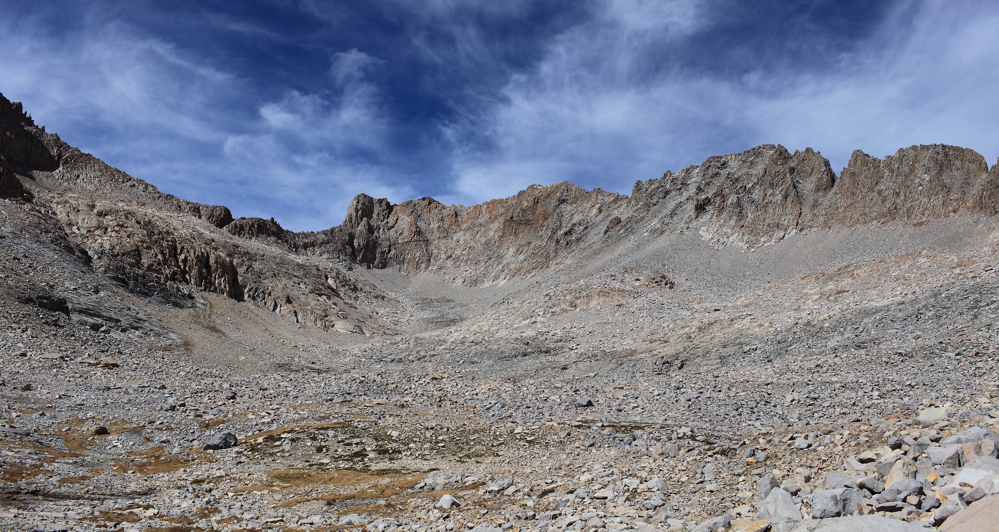
Viewpoint of the pass ridgeline from the east side.
Viewpoint descending the northern chute. Did I mention there was snow?
Some reprieve from all the rock hopping. Still managed to punish us as we were leaving the basin though.
Rocks: lol, you thought you were done with me.