Member descriptions, photos, and map locations of Cross Country Passes in the High Sierra. This forum is for information only - discussions should be kept in the appropriate categories. This forum is a component of the HST Map. We need your help to complete the database, so please contribute!
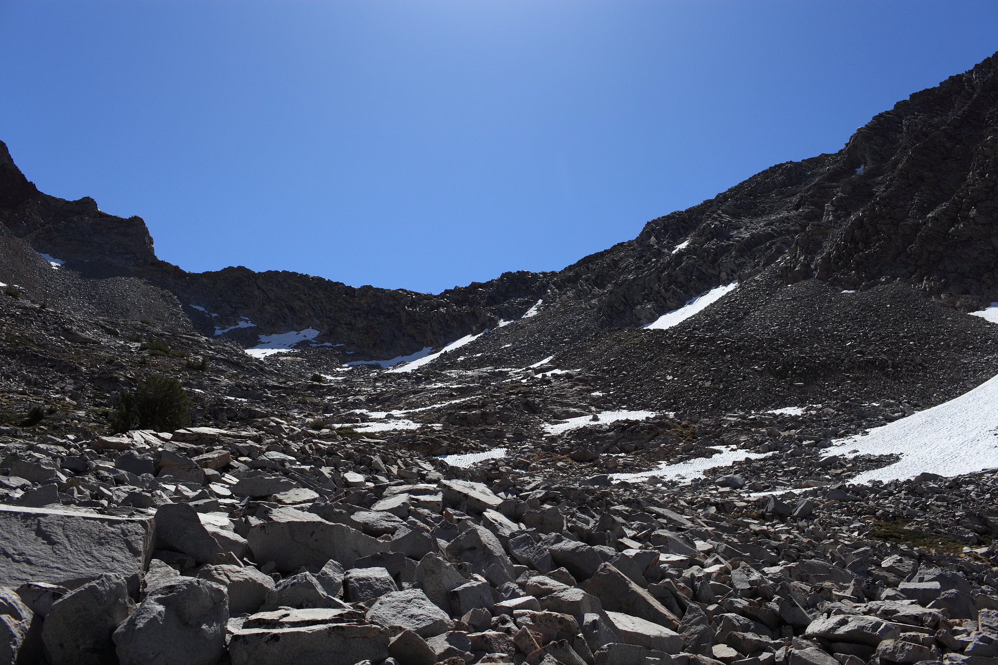
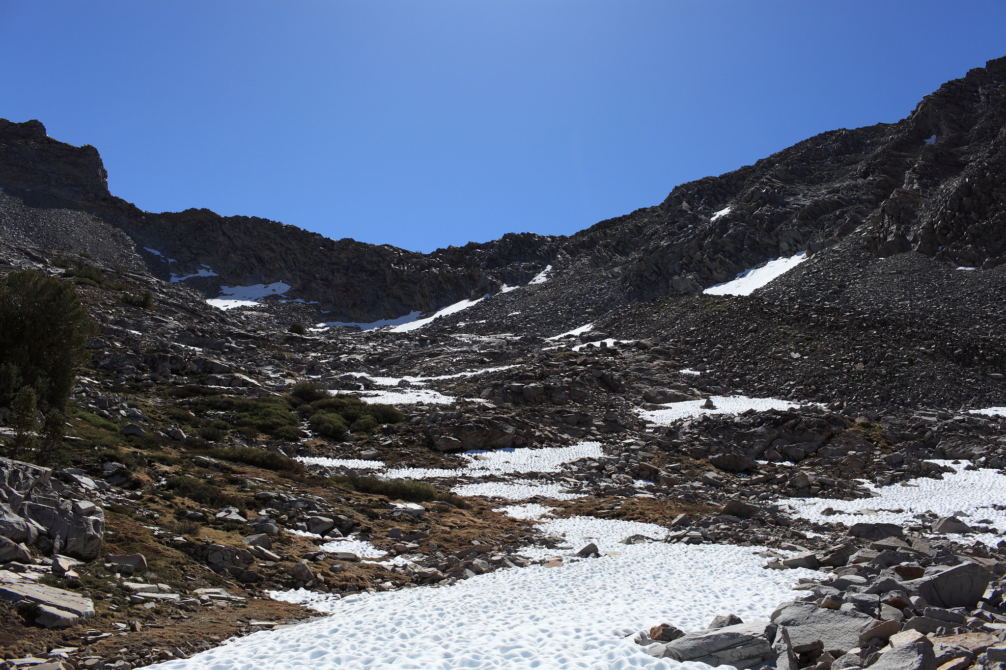
ROUTE DESCRIPTION: From Spiller Creek ascend easy grass slopes until you find yourself casually talus hoping with large patches of easy terrain in between. One large pile of talus is sloping down from the pass a bit on the right. Ascend this until it narrows into class 3 rock that must be climbed until the top. From here you must navigate down a tricky mess of class 3 shelves where it's not so easy to see ahead to plan properly. Climb at an angle down to your right.