Actually whether or not this is similar to 2011 is highly dependent on which snowcourse you check. The thing to do is to compare May 1 snowcourse measurements to historical data
https://cdec.water.ca.gov/cgi-progs/snowQuery at the site of interest. You need to know the number of the snow course to enter for the query (you can get the list from the current report). Let's take Dana Meadows. The May 1 measurement exceeds EVERY year from 1969 to 2016 with no data available for the big 1983 year. For Blackcap Basin the current year exceeds all historical measurements from 1969 to present except 1983. Sawmill L. exceeds everything from 1969 to present except 1969. Carson Pass exceeds all years from 1969 to present with 1969 being the closest.
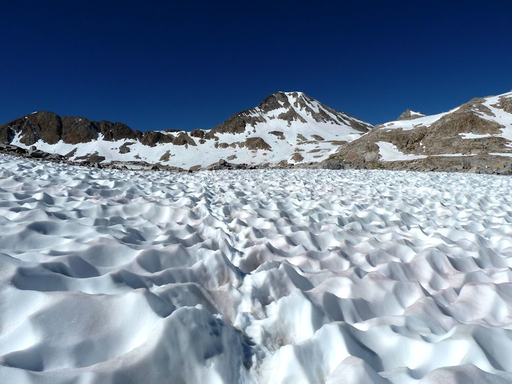
Looking at those sites may suggest that at higher altitudes this winter ranks up there with 1969 and 1983. However, the picture at somewhat lower altitudes is not as extreme.
For example, if you take two of my "calibration sites" in the N Sierra, Mt Hough and English Mtn, one finds that this was a heavy winter but less than 2011. In those areas it looks like the closest match is 1993.
On the Fresno-area lower elev west flank this was not a super heavy year. For example Vernon L. is a lot less than 2011 but spot on 1993, whereas at nearby Kibbie R. (6700') this wasn't a heavy year at all, with way less than 2005, 2006 and 2011. Cora L. (8400) on the other hand is higher than anything since 2005 to which it is comparable (no 2011 record for Cora).
I went to Kings Canyon today with a class. Whereas the river was spectacular, this was the least amount of snow I've seen (very scattered tiny snow patches) at the high point on the road (ie near Grant Grove) since I began doing these trips in the spring of 2006. It is the first year my geology students did not get their traditional snowball fight on this trip.
Conclusion is that many of the fronts were a tad on the warm side, so that the lower elevation spots did not get as proportionally heavy snow pack as the higher ones, for which we appear to have one of the highest snowpacks in memory.
If I was aggressively seeking to hit the thaw and say go out really early (say late May), I'd aim for Yosemite W Flank (places such as Kibbie, Edyth, Vernon, Laurel). I think the lower parts of Deso W flank (out of Loon) may be open as of late May/earliest June, too, as will be the lowest parts of the Walker (ie Poore, Secret, Roosevelt, Lane etc.). Most of I-80 country (say Grouse R. etc.) will open up somewhere in mid June. Some of the lower spots in the Lakes Basin area may also be about mid June, I'm thinking. There are one or two places I may target in the Feather River drainage (elev 5100-5850) the first weekend in June .
As for what I did in some approximately comparable years early:
1969 I really wasn't getting out that much and I just remember camping an Monarch Lakes, Mineral King, on August 2 and the lakes were frozen over. Columbine L. was similarly frozen over as of Aug 2, 1969.
1978 I recall being up at Treasure Lakes in late July?? and finding all but the lowest one frozen over but this isn't in my records (was there to climb Johnson and Gilbert and didn't fish, so it's not in my fishing log)
1983. I wasn't getting out as much back then and I didn't get up to the high country until visiting the Lamarck Lakes on July 21.
1986 Edyth was totally thawed as of May 24. Some very dicey stream crossings.
1993 Judy and I opened at Fisher L (7035 but S facing) S of I80 on June 19 (backpack). We followed that with one of our greatest trips ever (stayed in motel in Truckee, I think?) which was our first Land of the Giant Brookies trip beginning with Lower Lola Montez (7120+) 6/26, and then exploring the Land of the Giant Brookies (lakes mostly in the ~7000' range) on 6/27. We took a lot of trips and I don't know where the "intermediate" warm up trip but we then went for our signature trip, probably our best all-time, to Dumbbell Lakes 7-24 to 7-30. We consider 1993 to be one of our two finest years (1997 the Year of 100 Lakes is probably the best although the signature long backpack trip doesn't rank as high as Dumbbells with us). The last lake fished in 1993 was Lower Lindsay Lake on Nov. 6.
Again, as noted above, 1993 is pretty close to 2017 for the N Sierra at places such as I80 country but not for a place such as the Dumbbells, for which a 1969 or 1983 analog would be more accurate
1995 Opened at Natalie L. S of I80 on June 24--a very memorable trip but 1995.
1998 Opened up 7/4 in the Land of the Giant Brookies
2011 wasn't getting out much in 2011, so not a very good one for me to give a comparison. Didn't get out until late July and at that to someplace near the Dinkey Lakes. OK, I did get out earlier to Nellie L. (Kaiser) and was reminded by OR's post; the later-in-July (7/23) date I have on record because I didn't catch any fish at Nellie, but did at the spot near the Dinkeys.