On 07-16-2015 we headed out on the Lakes Trail, passing the often crowded, designated campsites (and stinky loo) at Emerald Lake. We continued to the fork in the trail, with the right heading to Pear Lake, and the left dropping a bit to the Pear Lake ranger hut. We chose the left, dropping to and crossing the outlet of Pear Lake.
At this point we would be off trail until the beginning of our third day. I really enjoy being off trail, as it requires me to look around, and I see so much more. On a trail, I have a tendency to just plod along, knocking the miles out and not necessarily enjoying myself.
We generally followed the Marble Fork of the Kaweah River, starting on the south side, and then switching to the north side in the area of Peak 10251’. Not a lot of water this year…sad.
Our destination for this day was Lake 10559’. A look back down the Kaweah as we neared the lake.
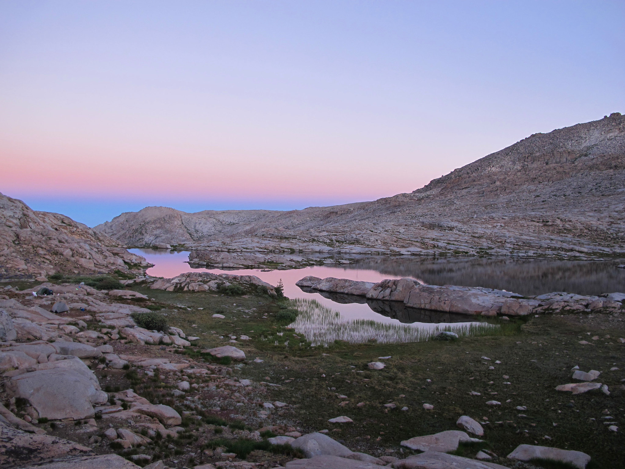
Good morning from Lake 10559’.
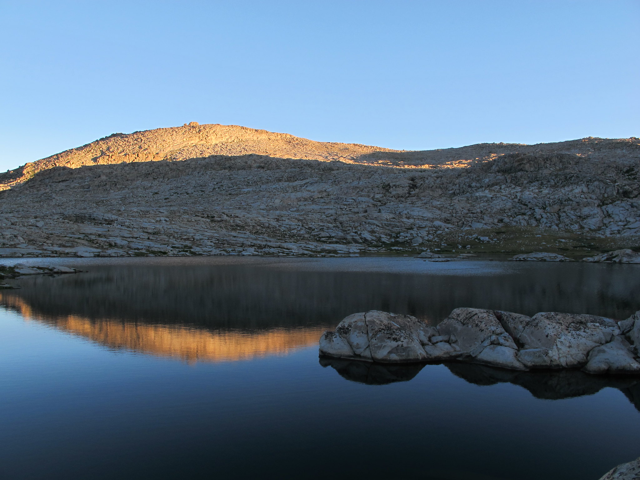
My friend is down there making her breakfast burrito. I know she was secretly jealous of my instant oatmeal.
The first goal of the day was to work our way northwest to the saddle near the center of the photo.
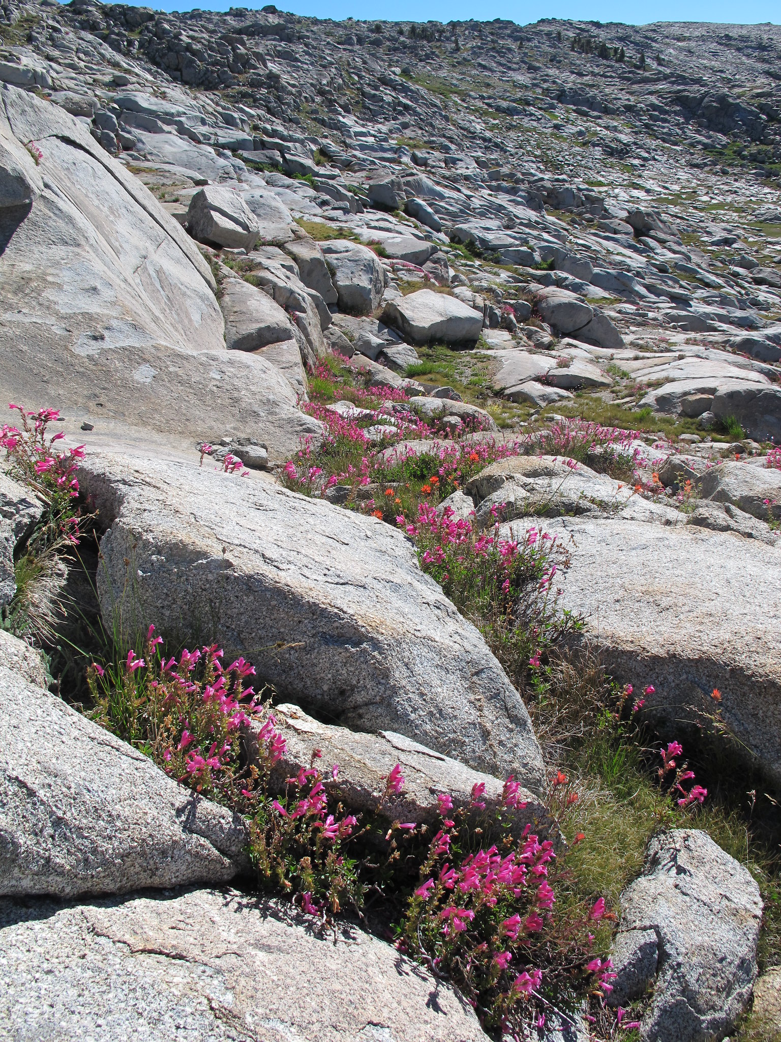
There were lots of pockets of flowers.
We made it to the saddle, where we determined we should have aimed a little more to the west as we were seriously cliffed out. After admiring the view of the spires at the head of Box Canyon, we moved a bit west, which was much more user friendly.
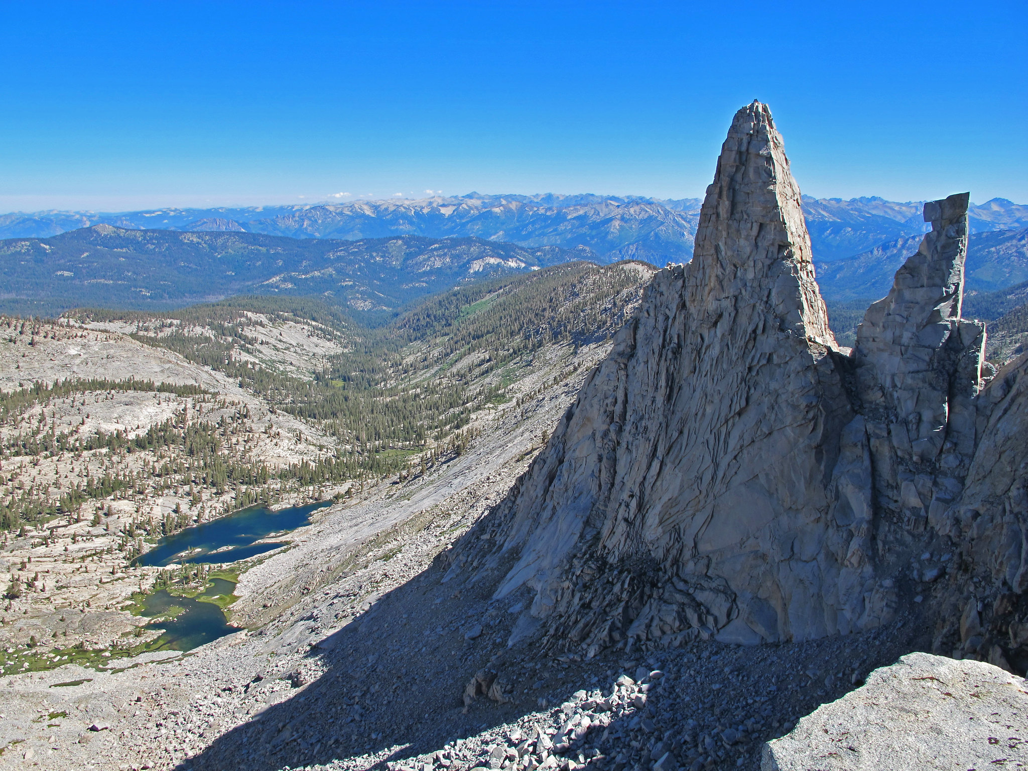
Our next goal was to work across the head of Horse Creek Canyon, aiming for the trees at the base of Peak 11080’ish.
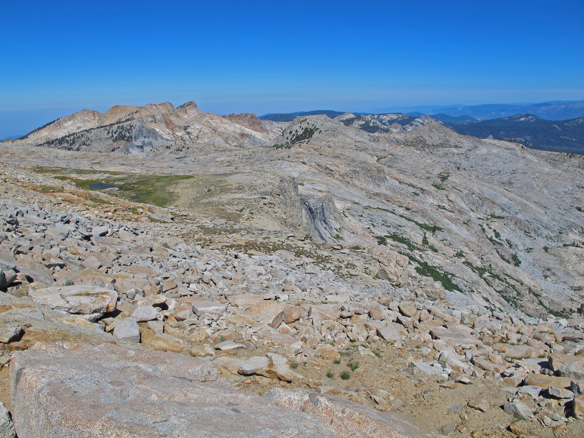
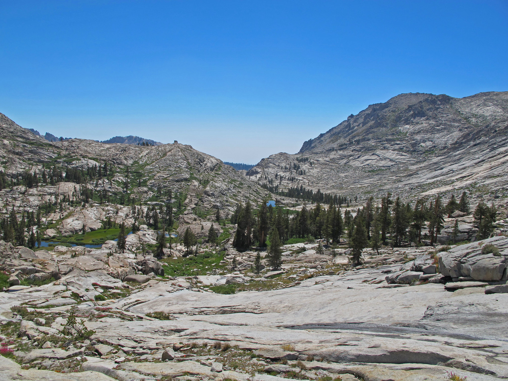
A look back at our route from the top of Horse Creek drainage to the saddle above Lake 10559’.
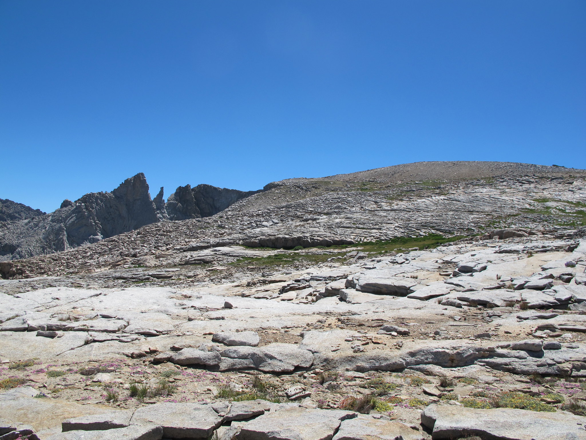
From there we worked our way down to Crescent Lake, which is visible a tick above the center of this photo.
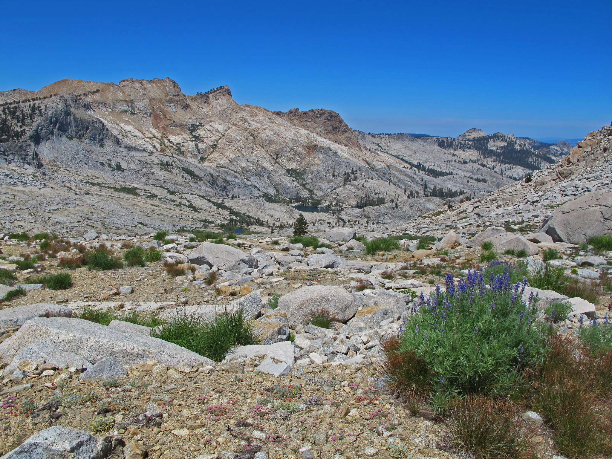
After a lunch break at Crescent, we began to work our way to Beville Lake. This is where we probably could have found a better route, but, meh, you live and you learn. We chose to go up to the saddle north of the lake, and then down the gully on the other side, which turned out to be a steep, grass-covered, dry water course. We really had to watch where we put our feet. About halfway down, we bailed to the east, and worked our way to the east side of Lake 9518’. Hindsight, which is always so clear, I think from the top of the saddle north of Crescent Lake, we should have turned west for a short time, then north and come down between Lake 9518’ and the unnamed lake (tarn?) above it.
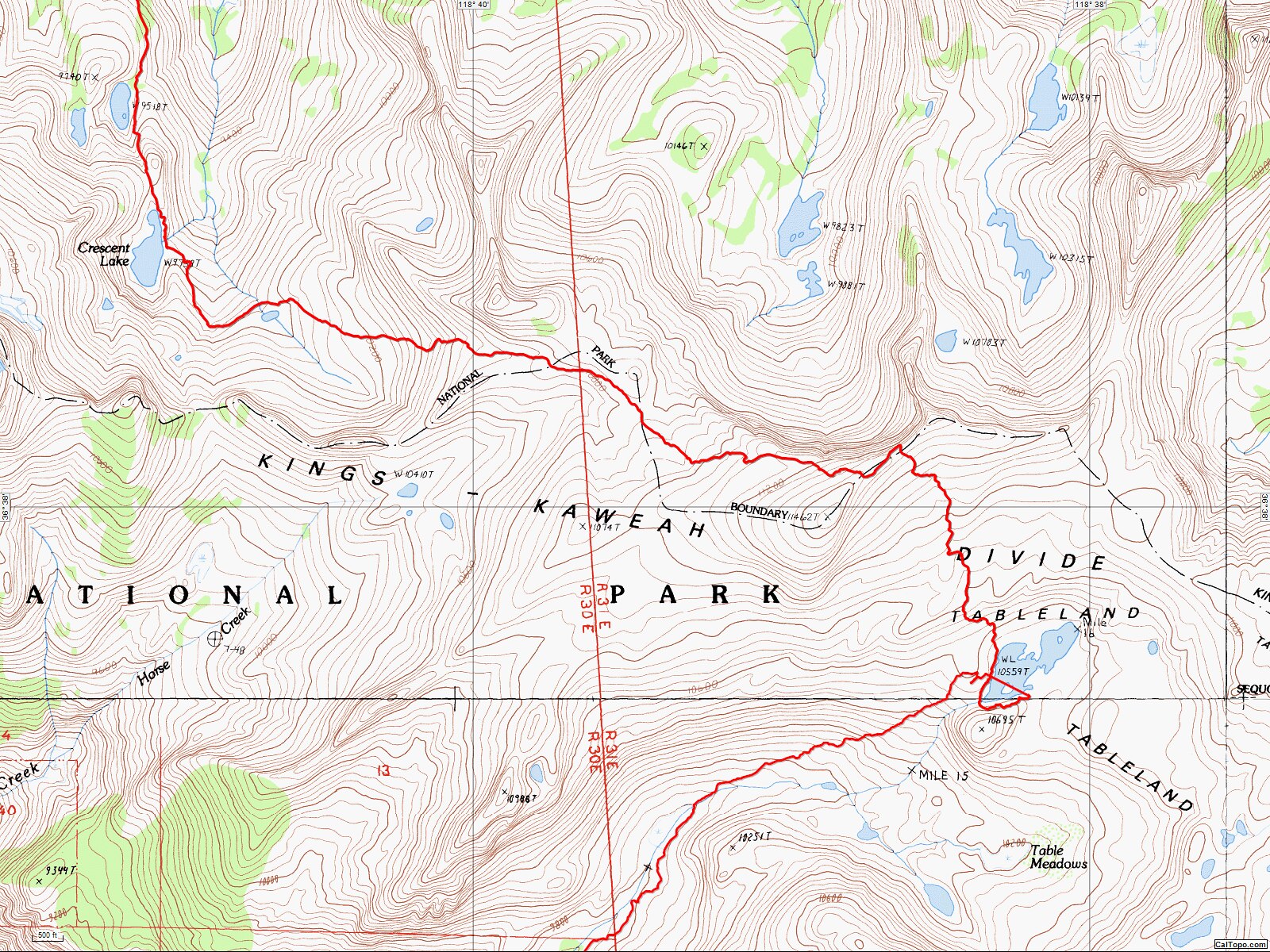
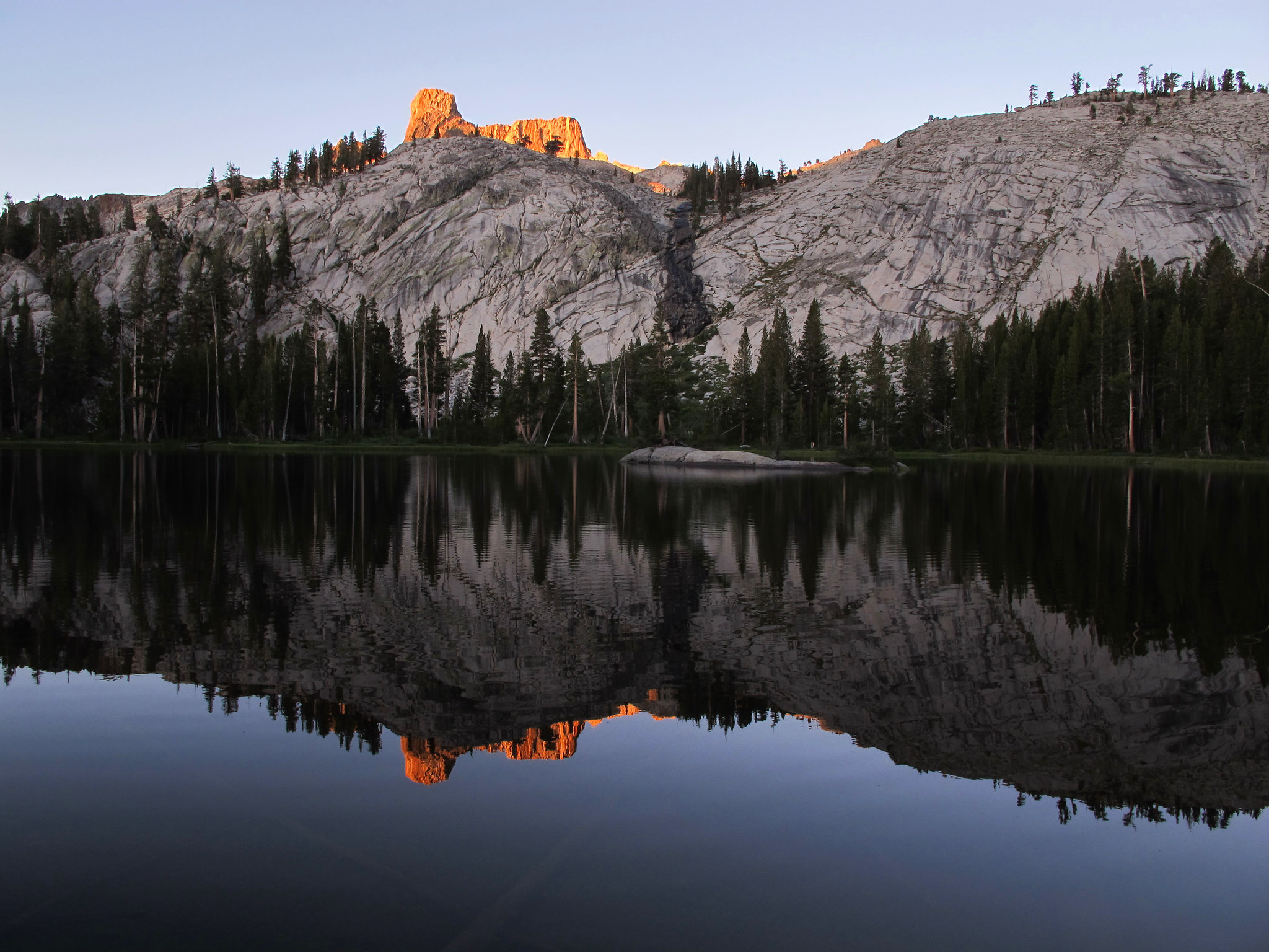
Either way, we made it to Beville Lake, where we had a stunning view over coffee.
We made our way back to Lodgepole via the Twin Lakes trail.
At Lodgepole we had left a second vehicle to drive to the first vehicle at Wolverton. I think the park shuttle idea is good, but the park definitely did not give thought as to where everyone would park their car on the busy weekends….it was a nightmare getting out of Lodgepole.
On the northern end of Lemon Cove, right across the street from the Texaco station, we stopped at a restaurant called Om Nom Nom. It was soooooooo good. I highly recommend it!

