Summary: First High Sierra hike (or any backcountry hike) after a loooong (~25yr) layoff.
I have been gradually resuming activities that I gave up due to family. Skiing was first and hiking was next. Thanks to all on this forum for your help as I used this forum (and another) as my primary resources to shorten the (re)learning curve.
I decided to baseline where I was at by doing a hike that I had done several times when I was young. I didn't remember it being particularly strenuous, but that allowed flexibility to extend, shorten or bail-out altogether depending on how I felt.
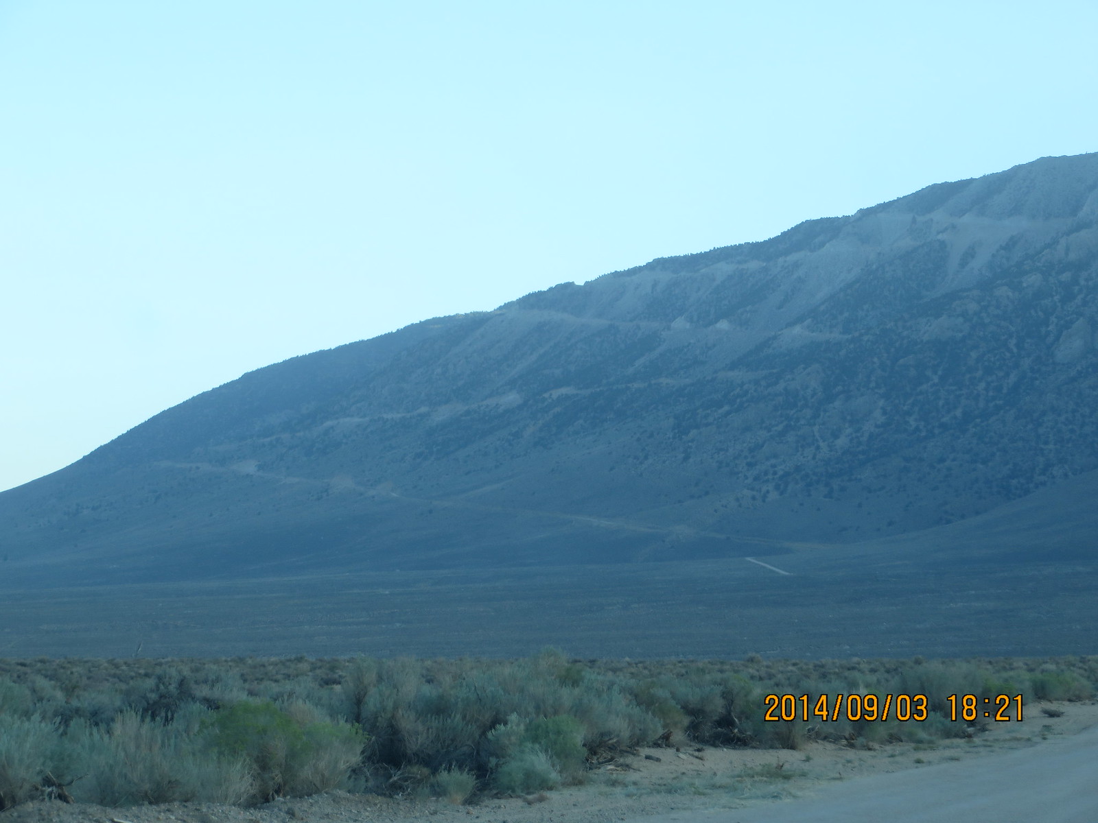
Wednesday: I drove up from LA at mid-day and was able to pickup my permit and bear canister from the Lone Pine Visitor Center with an hour to spare. It was 97 in Lone Pine at 5PM! My plan was to have a nice dinner in Lone Pine, then head up to the trailhead at 10,100 feet to camp out and acclimate. I brought along a 02 pulse oximeter and a heart rate monitor to see how well my body was responding to the altitude.
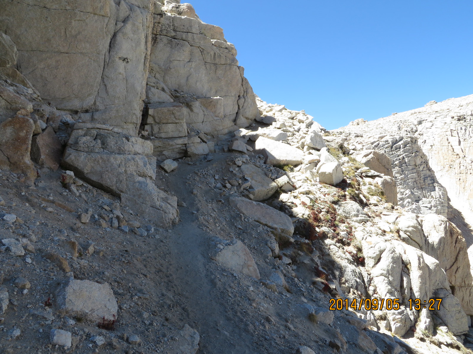
Switchbacks to Cottonwood Lakes Trailhead
When I got to the trailhead, the temperature had dropped into the high 50s, and I could really feel the thin air. I checked out the trailhead & bear boxes, and found a quiet spot to setup camp near my car. I kept an eye on my O2 Sat and Heart Rate while I went about setting up camp. HR was up and O2 Sat was down. What a shock! Between that and the excitement, I struggled to get to sleep.
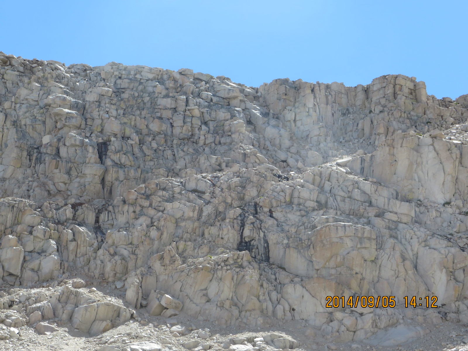
Thursday: When I got up at sunrise, my O2 Sat and HR numbers were almost normal. I got packed up and moving on the trail by 7am. Between the altitude challenge and over-packing, I lumbered under the weight of my pack. After getting warmed after the first 30 minutes on the trail, I settled in and didn't really notice the weight.
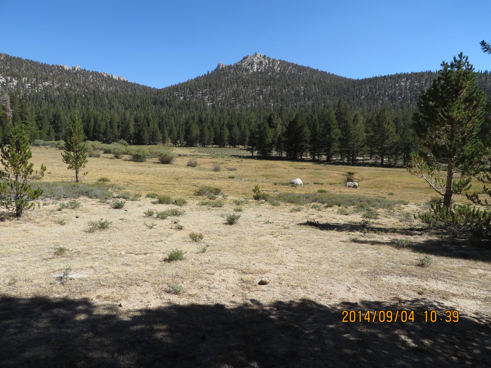
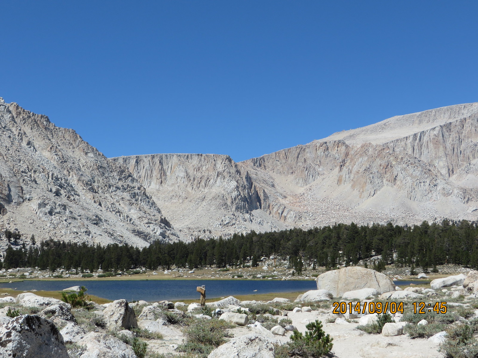
Golden Trout Camp meadow
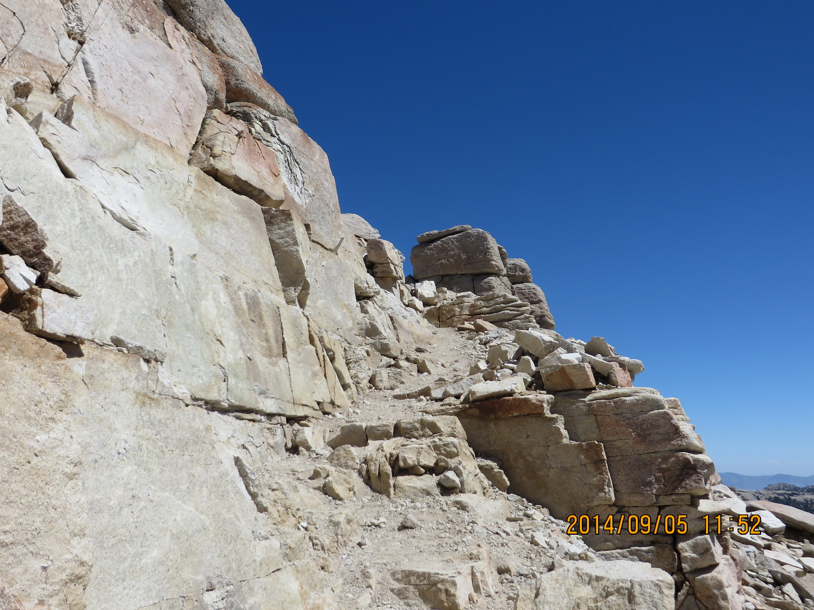
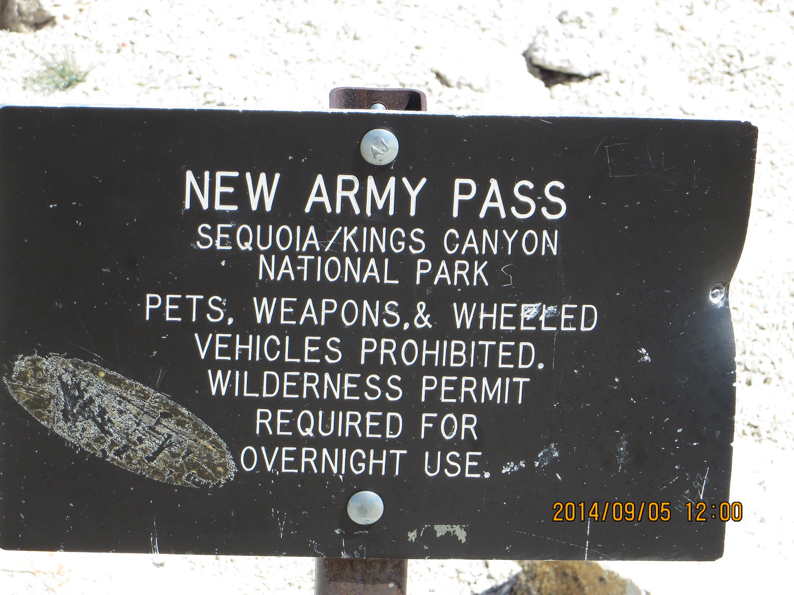
I had previously decided to go up New Army Pass and down Old Army Pass, so I would take the South Fork Lakes fork of the trail.
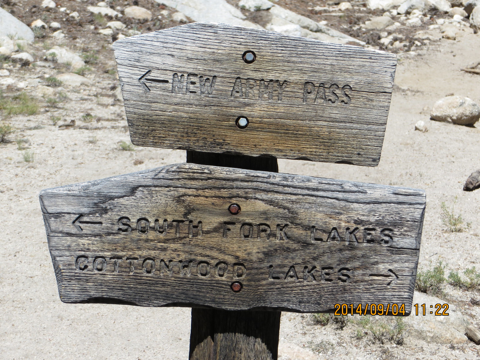
A fork in the road
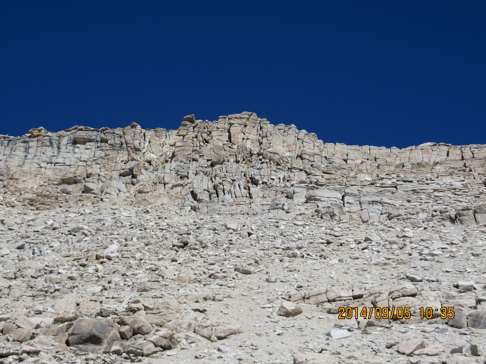
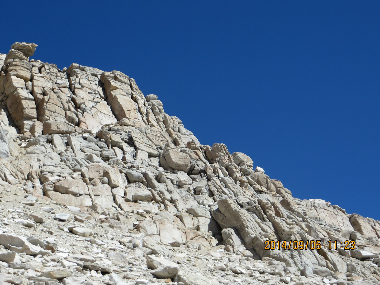
The climb up from the fork to Lake #1 was tough on this old body, necessitating several rests, but that view when you round the large rock at the top is breathtaking. That I remembered, but the pictures don't do it justice.
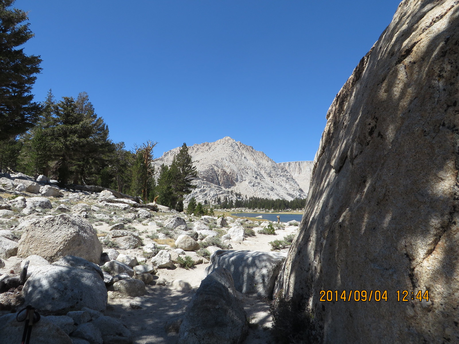
Coming around the rock...
The view is breathtaking!
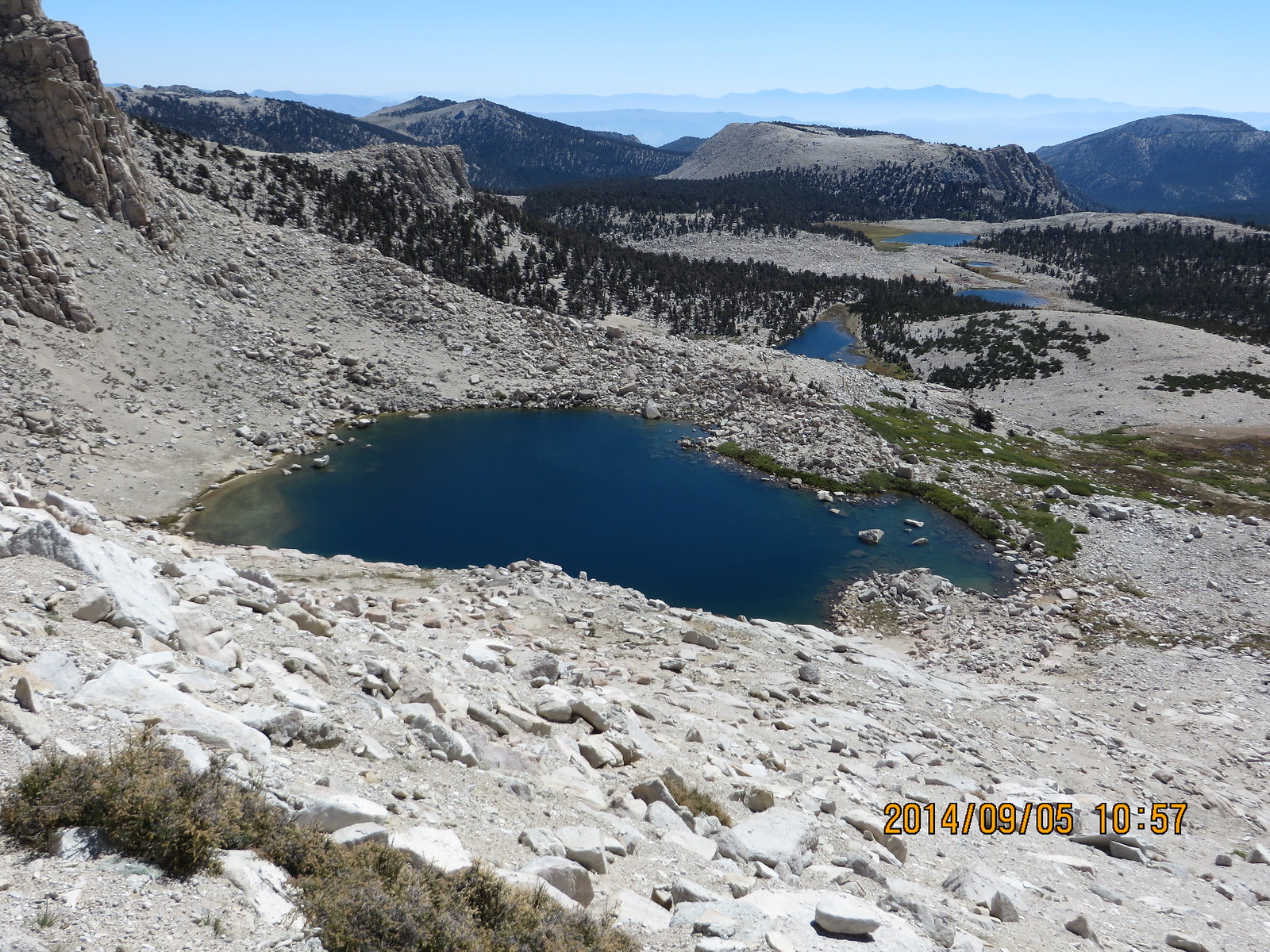
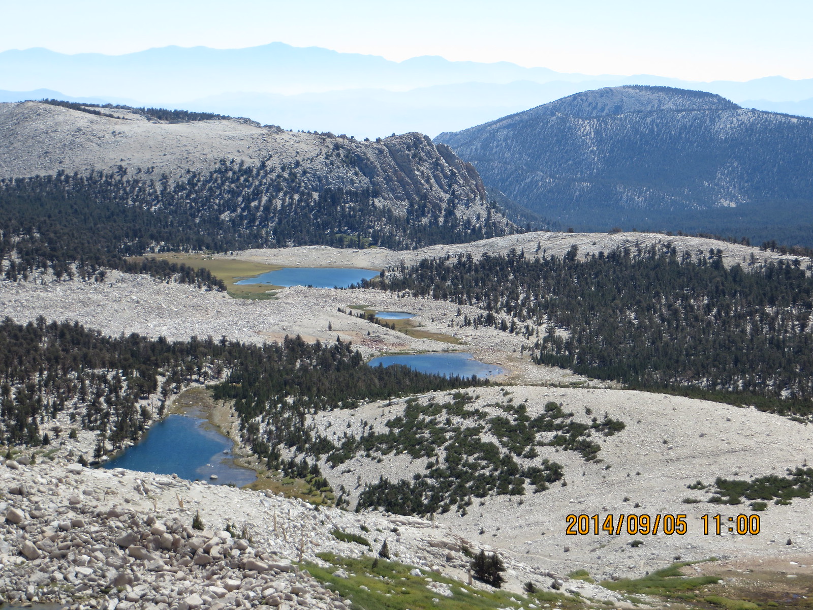
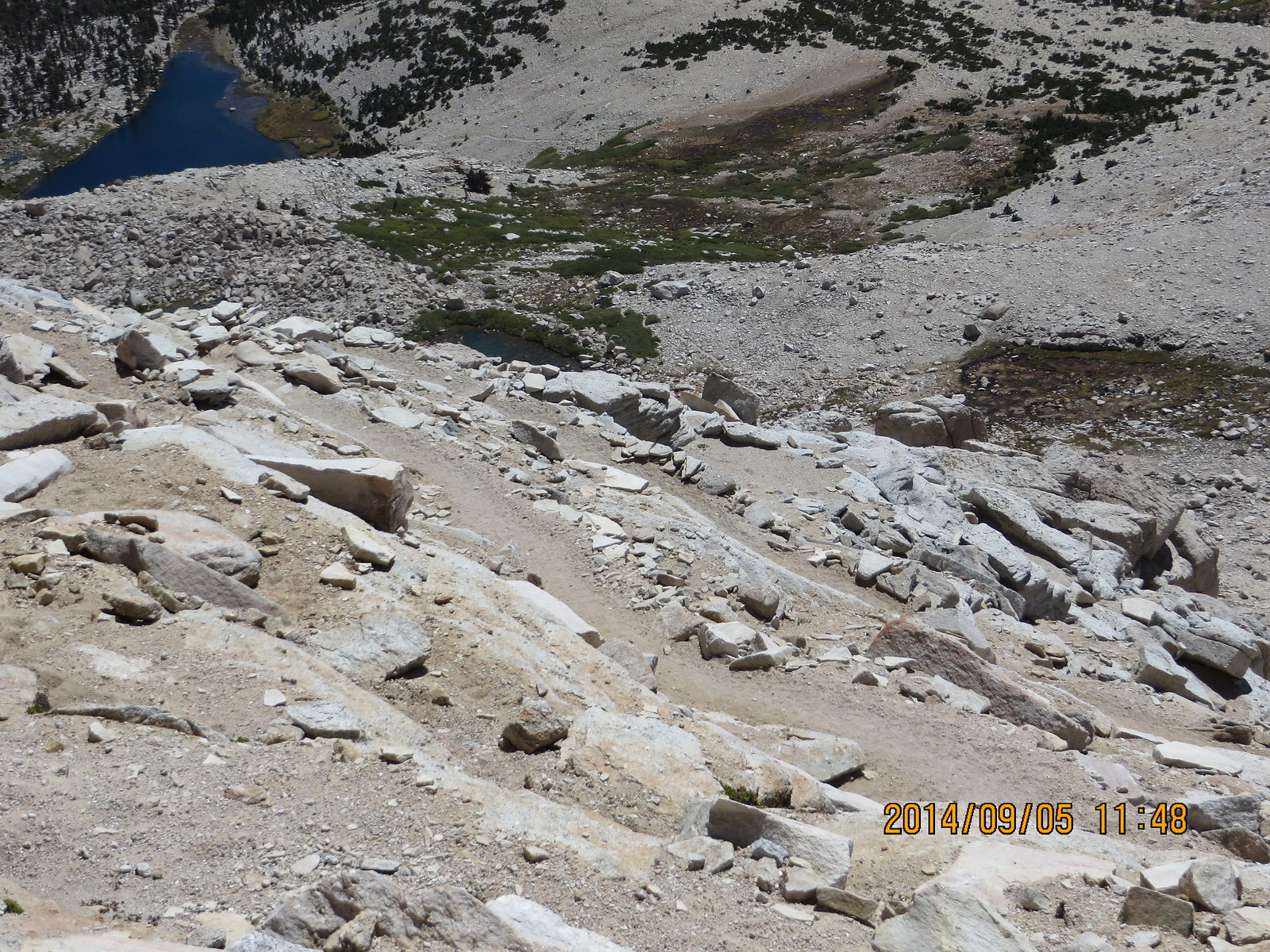
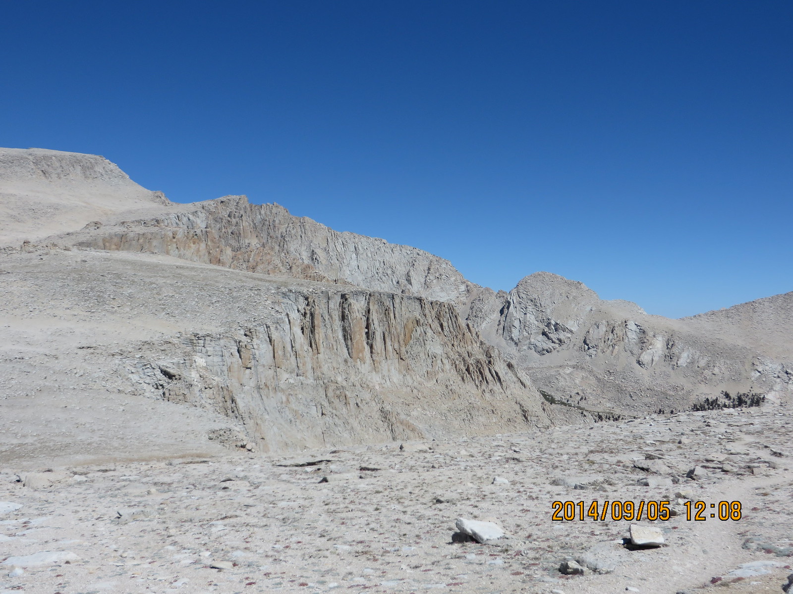
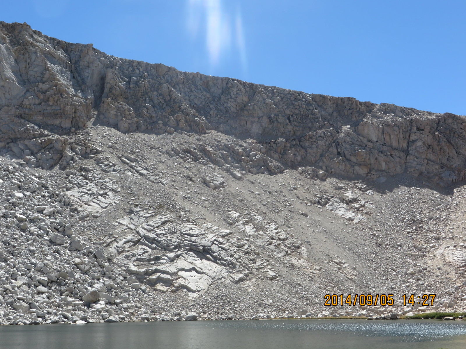
A nice flat trail beside Lakes 1 and 2 turned into the mess that is a boulder lake where there used to be a lake/tarn. Other than the slow going over this section of trail, there is still nice scenery.
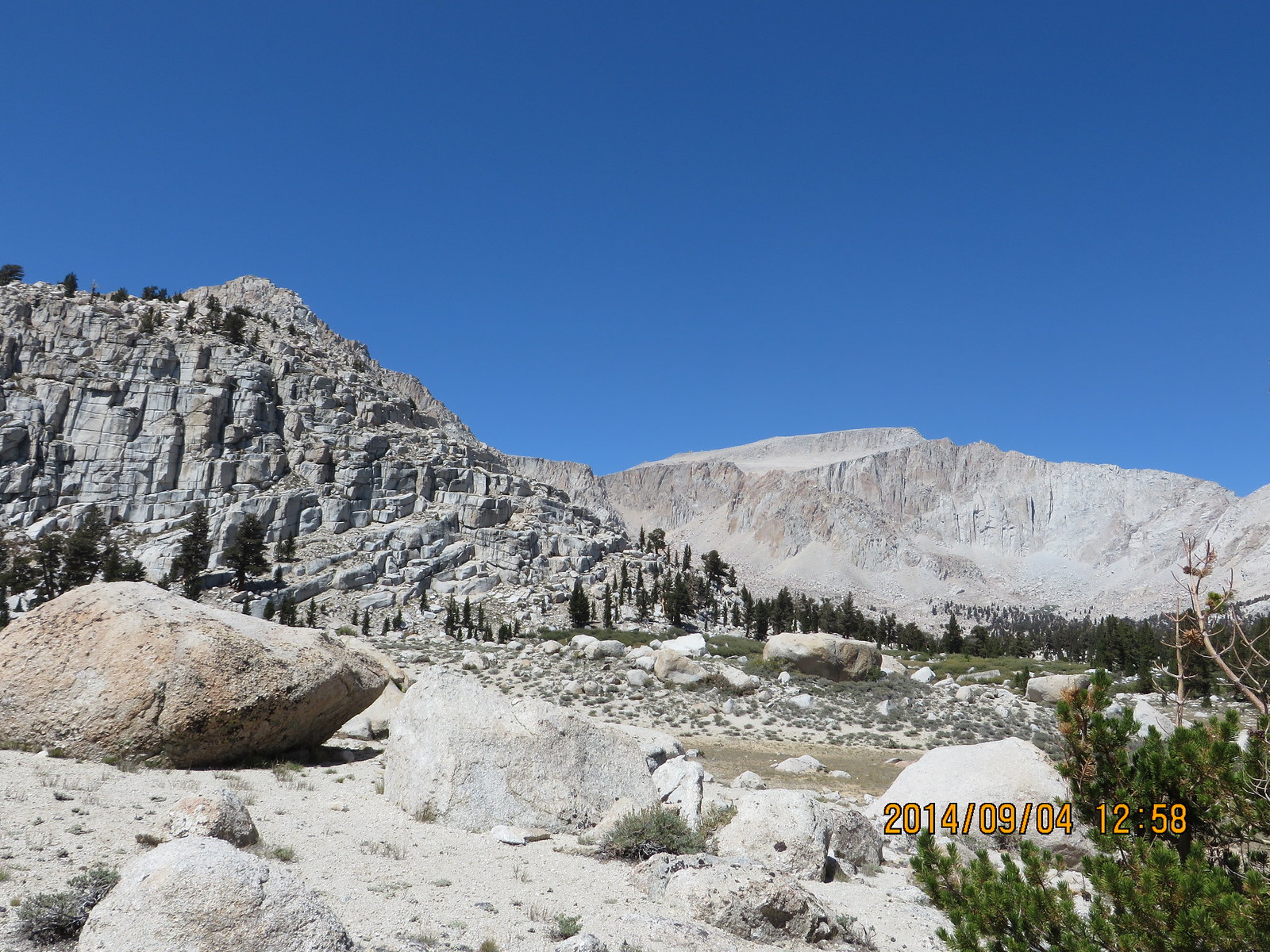
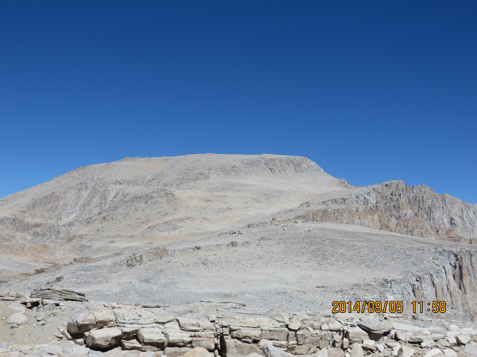
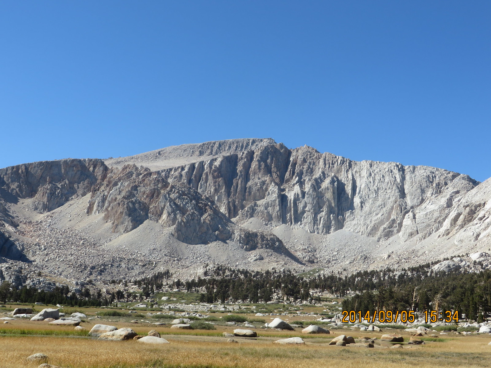
Mt Langley in the distance
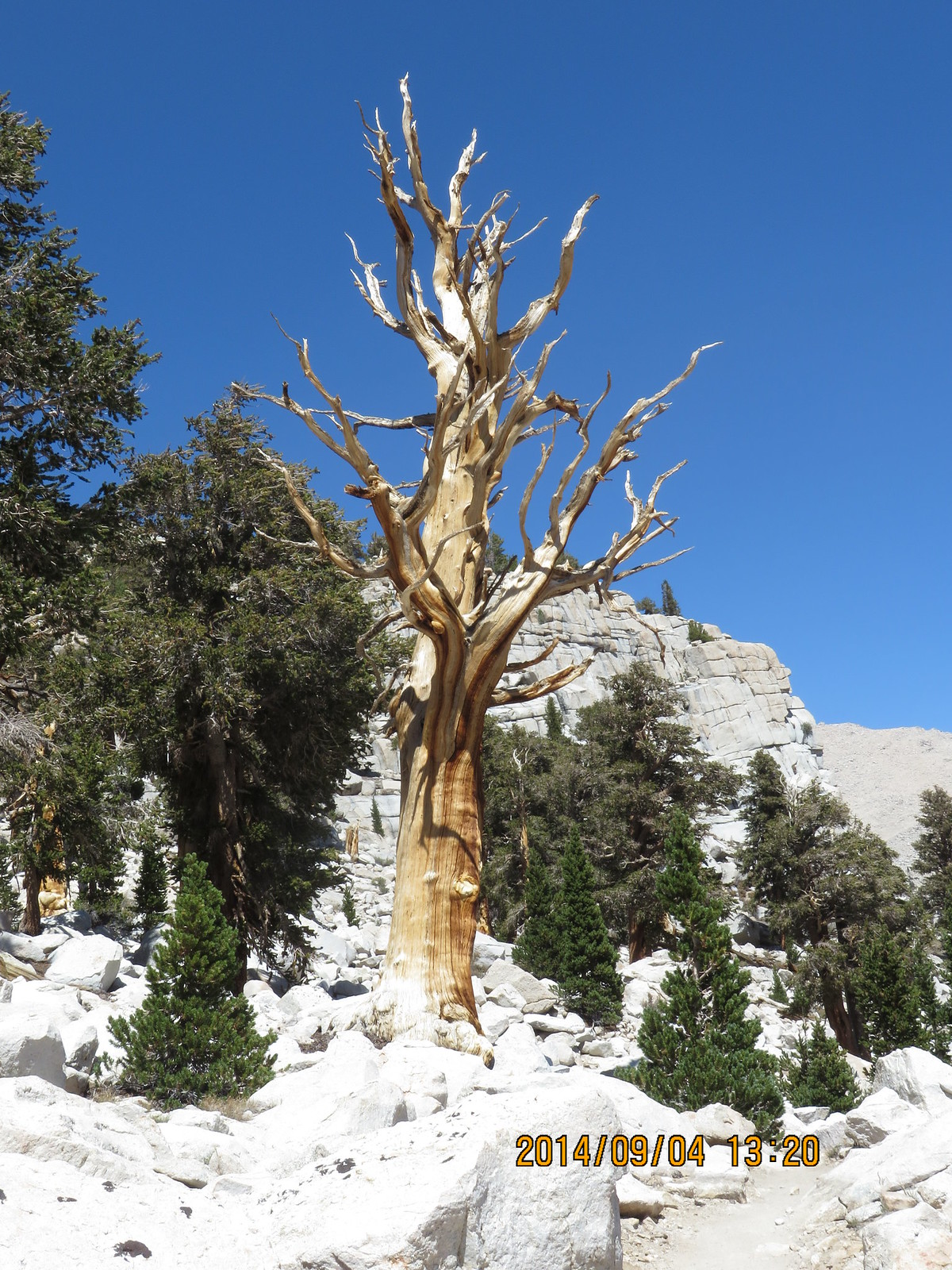
Cool looking tree
I finally made it the the turnoff for the highest South Fork lake. I was planning on camping there, but there were several groups already there. I had lunch and filtered a little water before heading for Long Lake.
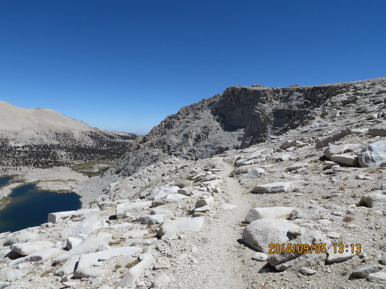
Long Lake with New Army Pass in the background
Same story at Long Lake with regards to several groups beating me to the best camp sites (SW side in the trees near the inlet). I debated between going around to the north side of the lake, or heading up to High Lake. The problem is there are only two sites at High Lake, one of which is marginally legal. If those are taken, I may have a problem! I decided to press on for the opportunity for some solitude.
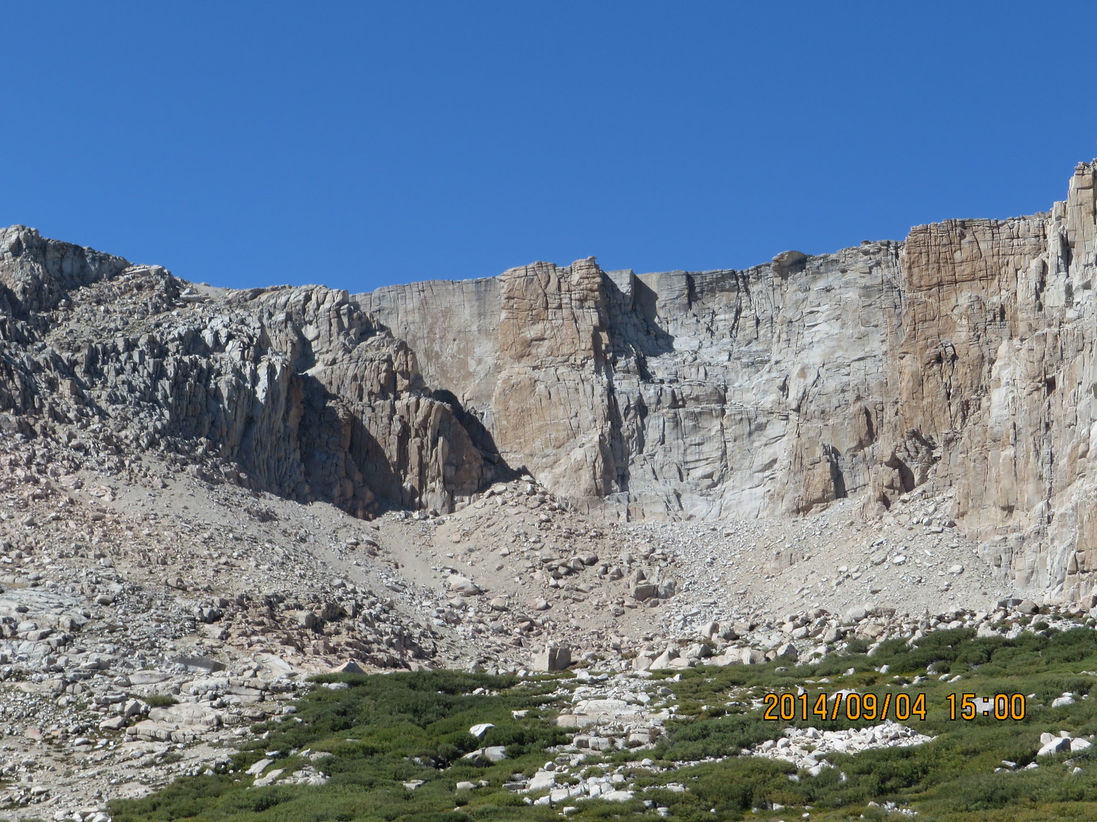
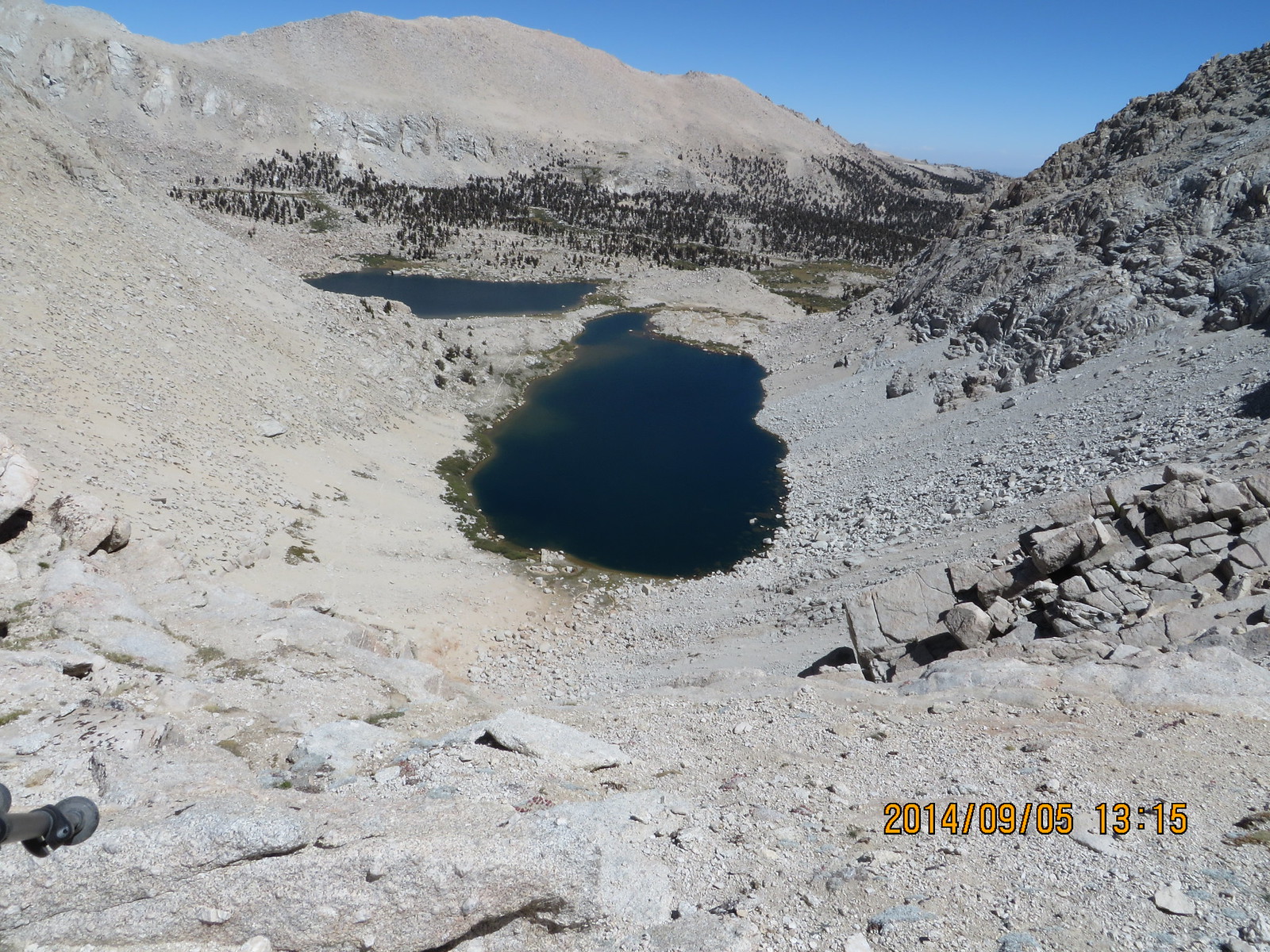
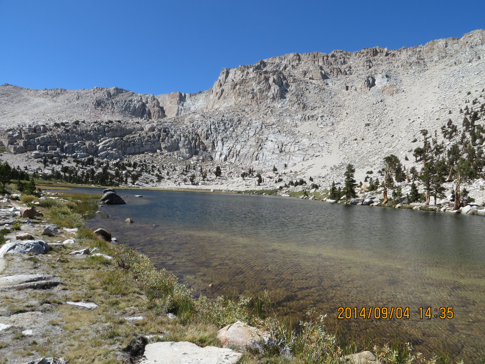
High Lake from below
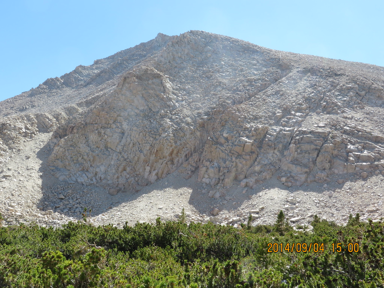
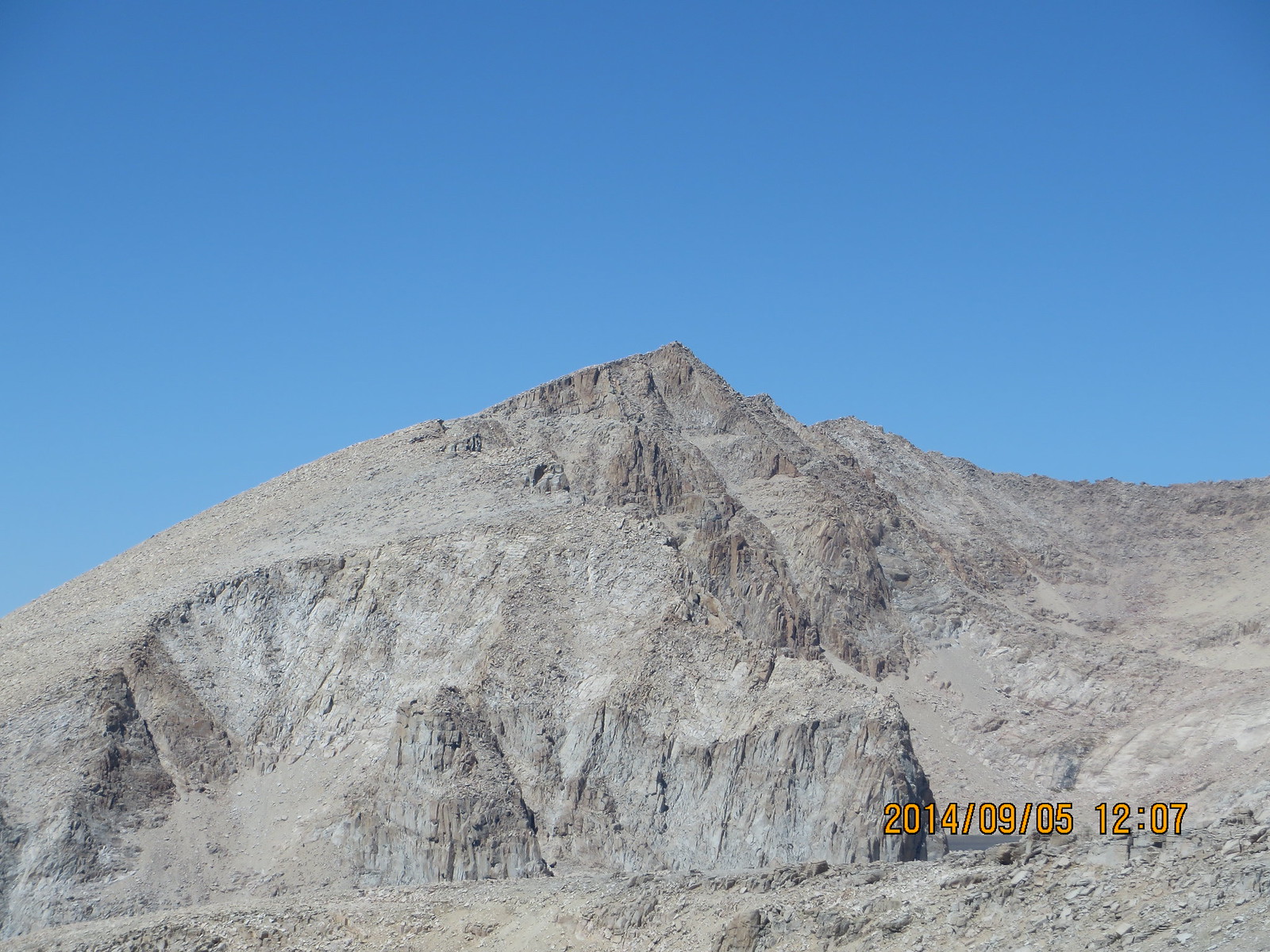
Cirque Peak
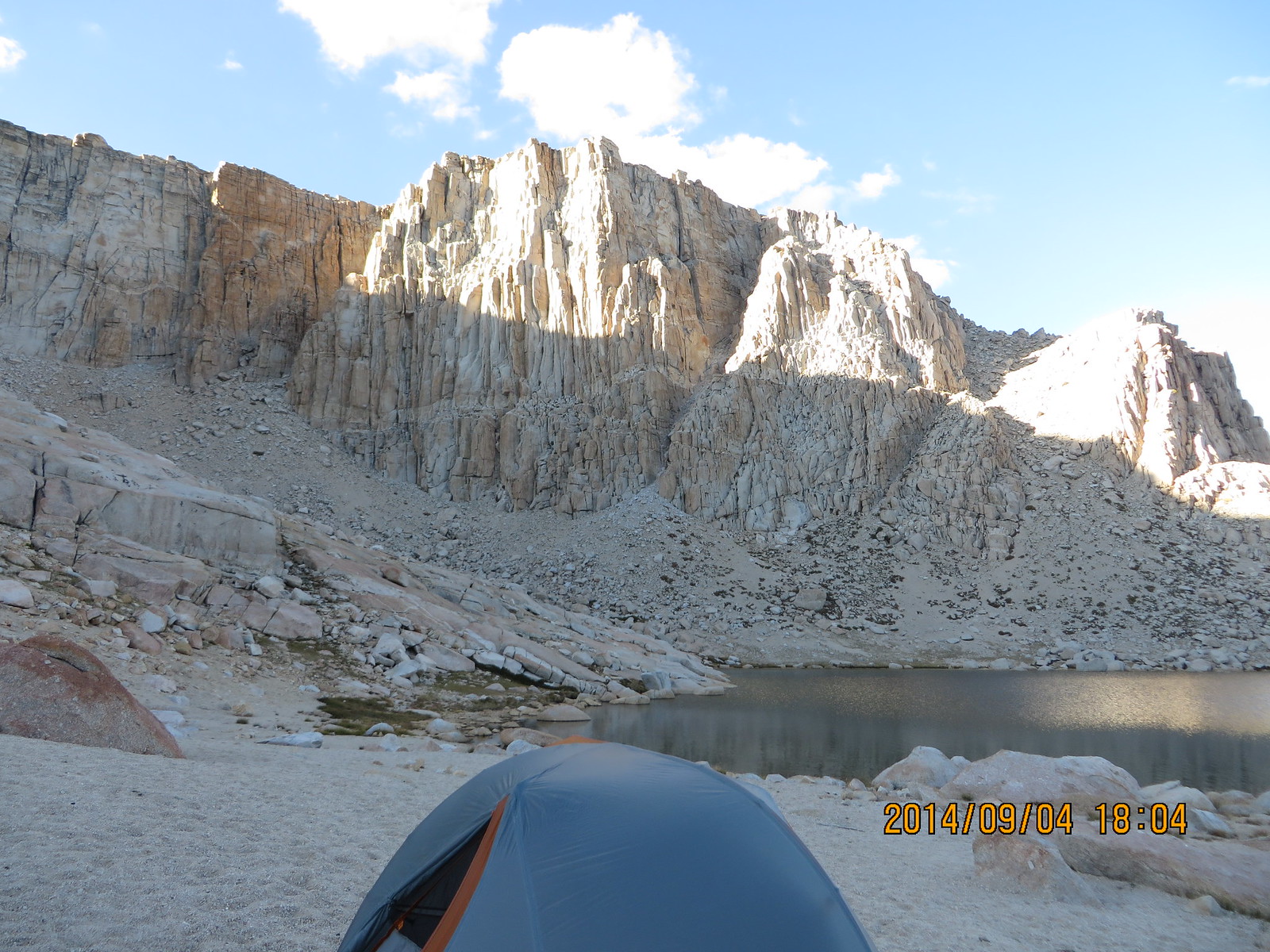
Shadows lengthening over High Lake
I ended up all alone at High Lake. Nice and cool with a sandy spot to cushion my old body. Once I got all the domestic tasks done, I was horizontal and out like a light. Slept really soundly for the first 4 hours, then the winds woke me. After sleeping fitfully the rest of the night, I decided I needed a thicker inflatable!