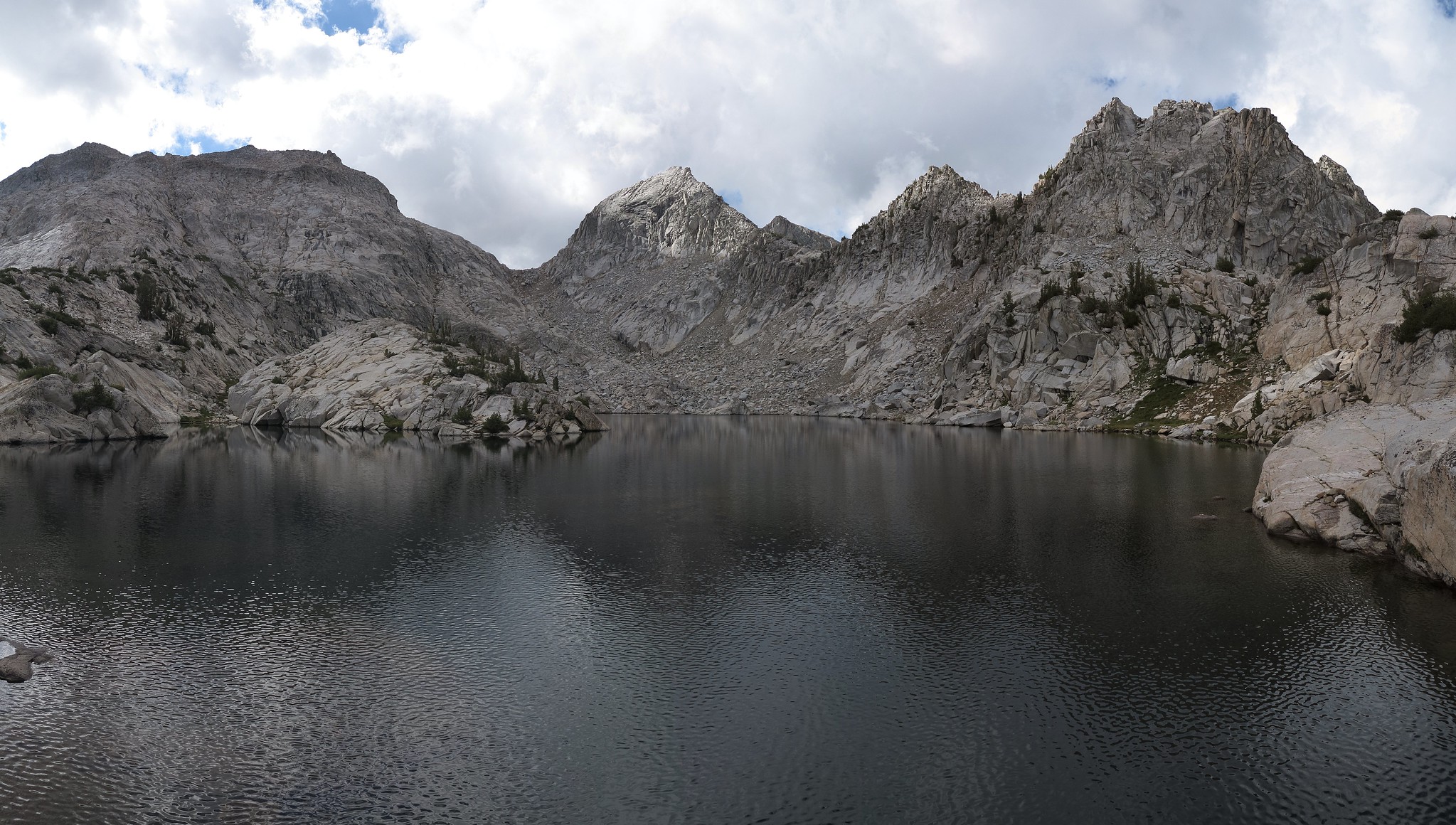
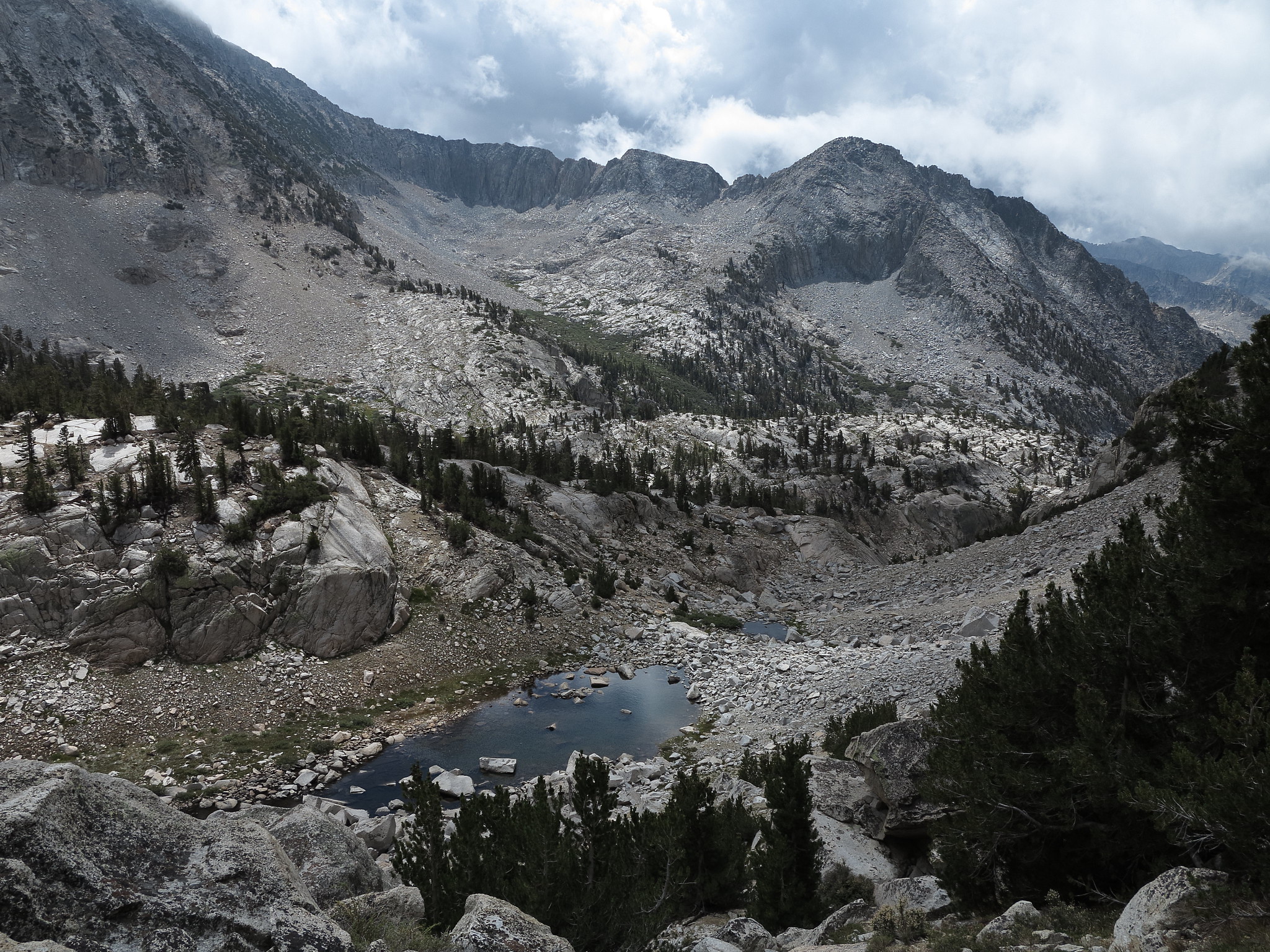
GENERAL OVERVIEW: This pass leads between the lower portion of the Dumbbell Lakes Basin and the basin West of Observation Peak containing Lake 10,565.
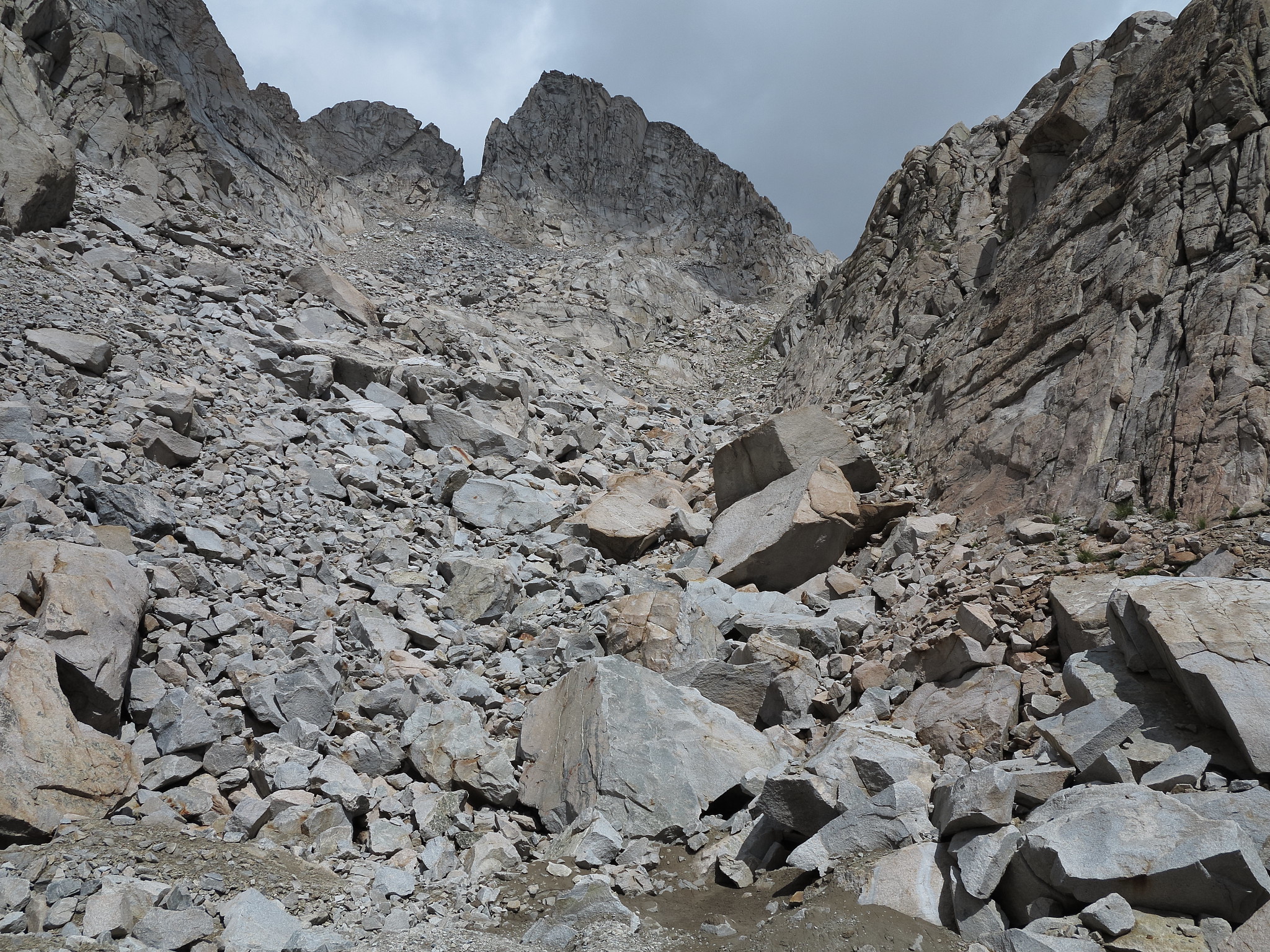
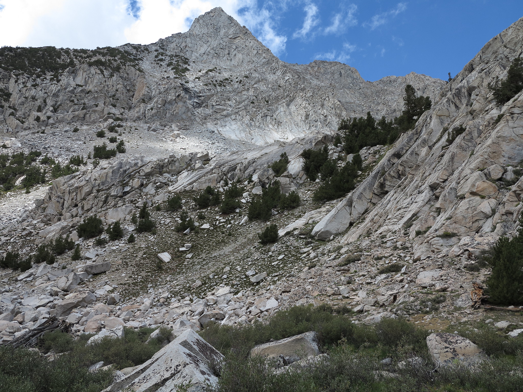
CLASS/DIFFICULTY: Class 2 with a single boulder field on the Southern side that if not navigated properly will lead to some class 3 boulders.
LOCATION: Kings Canyon National Park HST Map
ELEVATION: 11,420
USGS TOPO MAP (7.5'): North Palisade
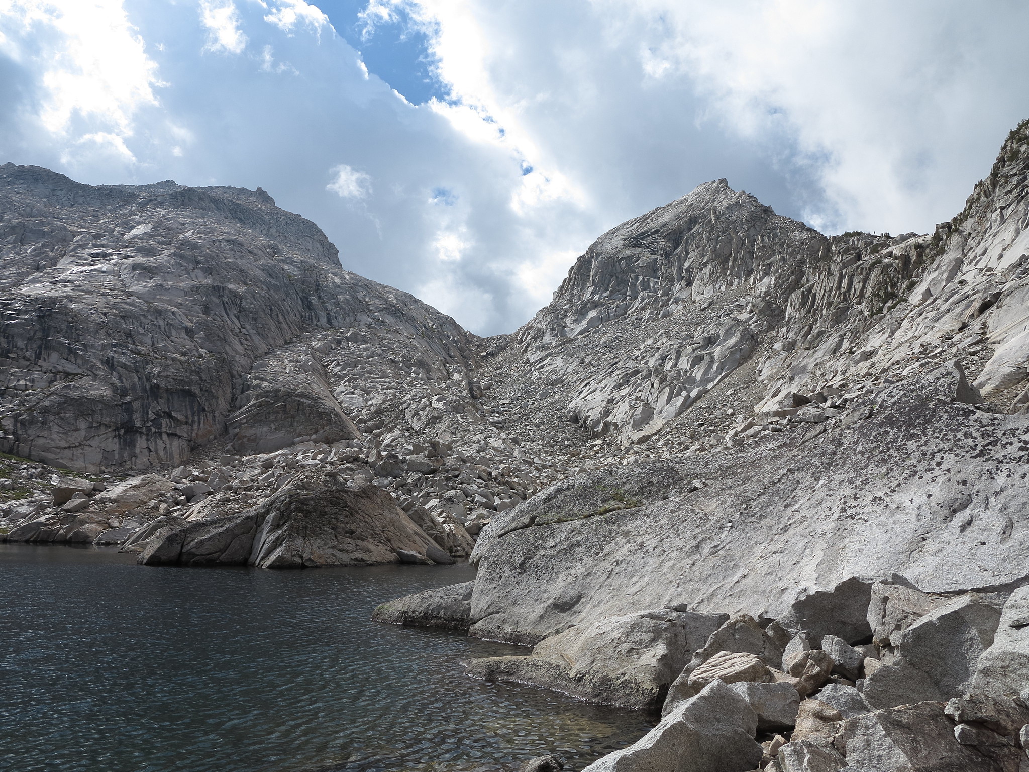
ROUTE DESCRIPTION: North to South: Although the unnamed lake below the pass can be navigated by either shore difficulties are encountered on either side. I took the West shore and there was one difficult section of class 3 rock that wasn't easy to get around with a full pack on.
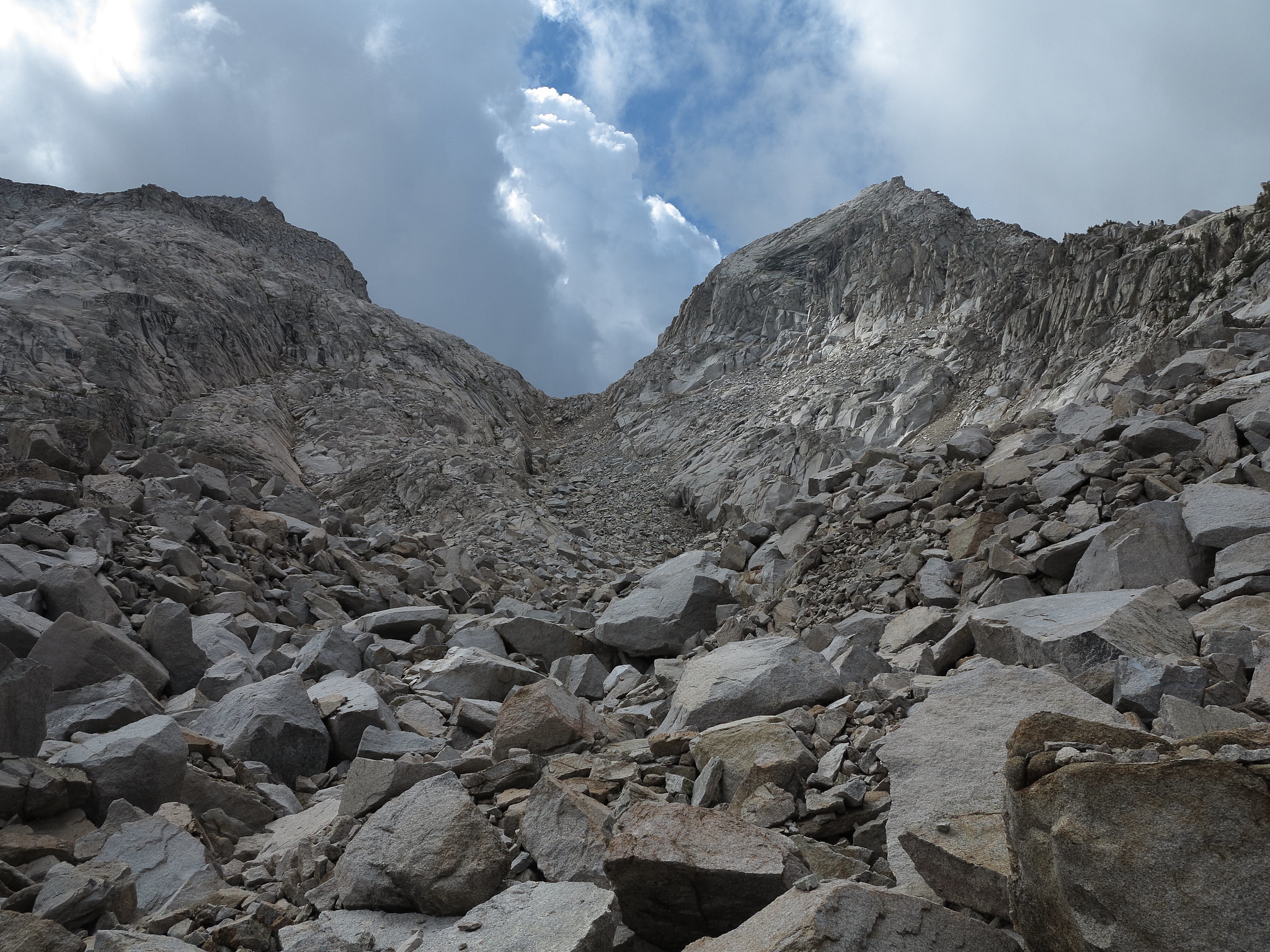
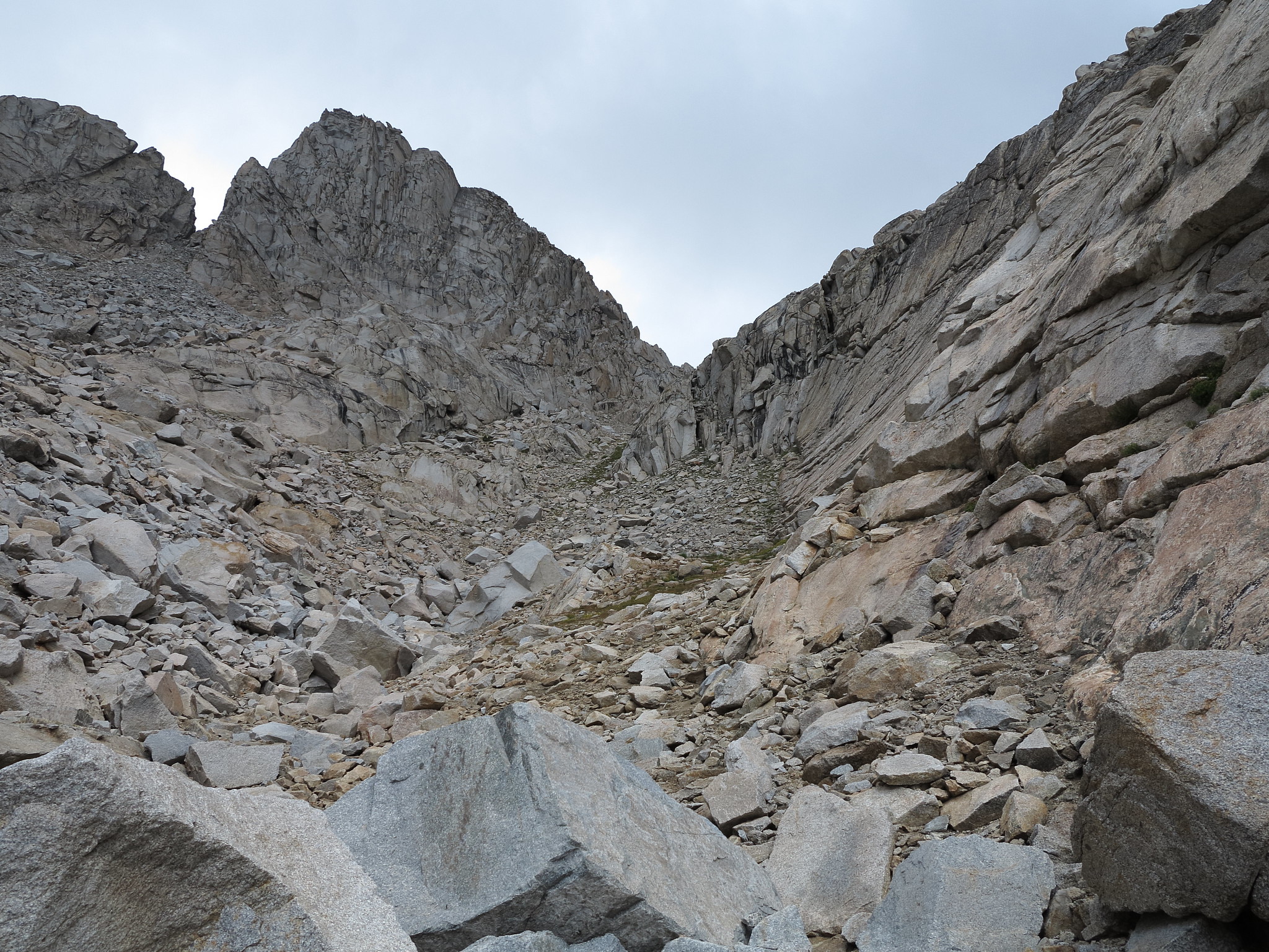
From here it's a straight forward medium to small talus hop to the top.
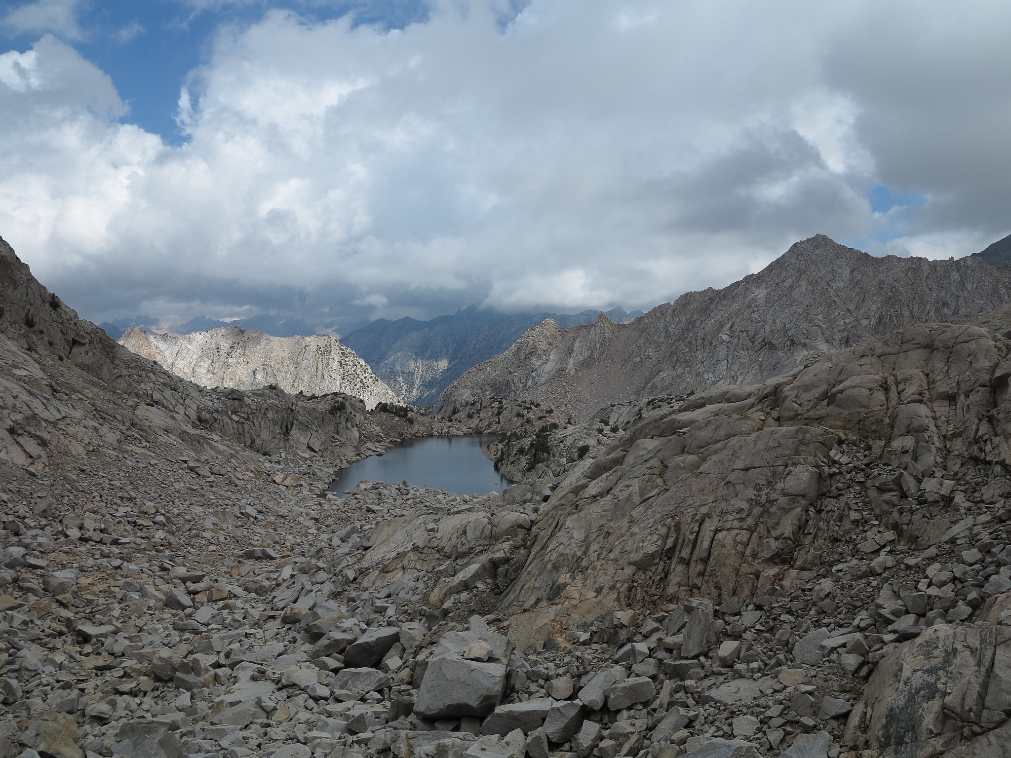
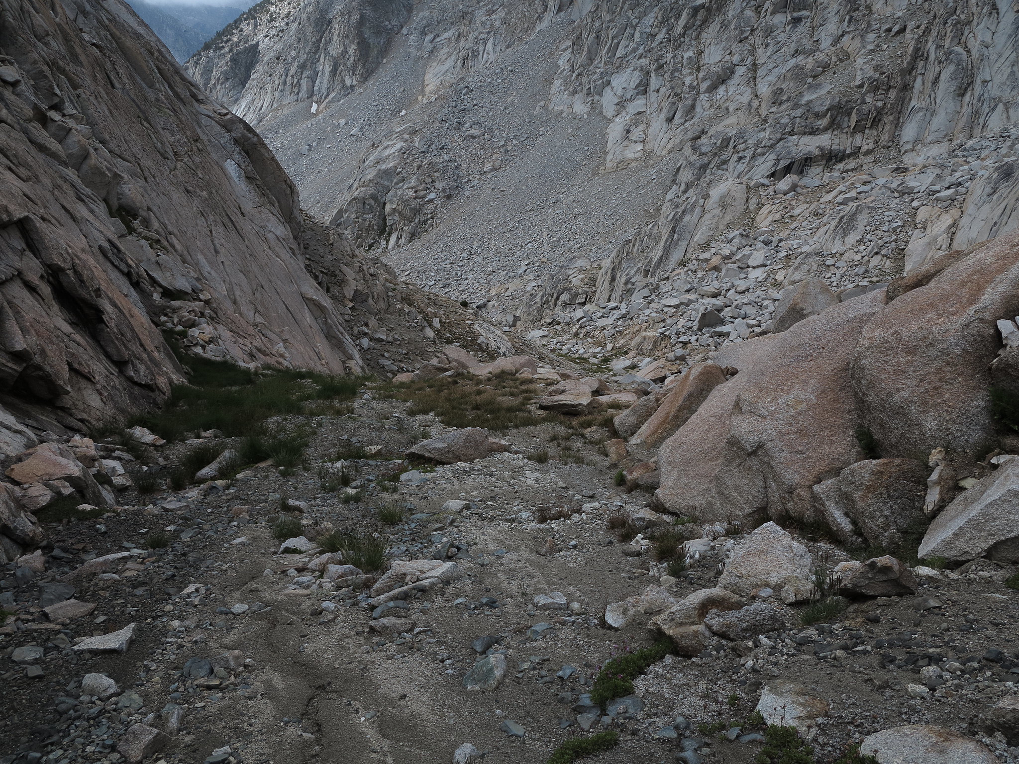
The South side largely is easy class 1 terrain other than a single boulder field lower down that can turn into class 3. The final drop to the creek coming out of the Dumbbell Lakes Basin is a mix of terrain from small trees, tarns and rocks that require plenty of zig zagging along the terrain but should pose no significant burden.