Member descriptions, photos, and map locations of Cross Country Passes in the High Sierra. This forum is for information only - discussions should be kept in the appropriate categories. This forum is a component of the HST Map. We need your help to complete the database, so please contribute!
TITLE: Gabbot Pass
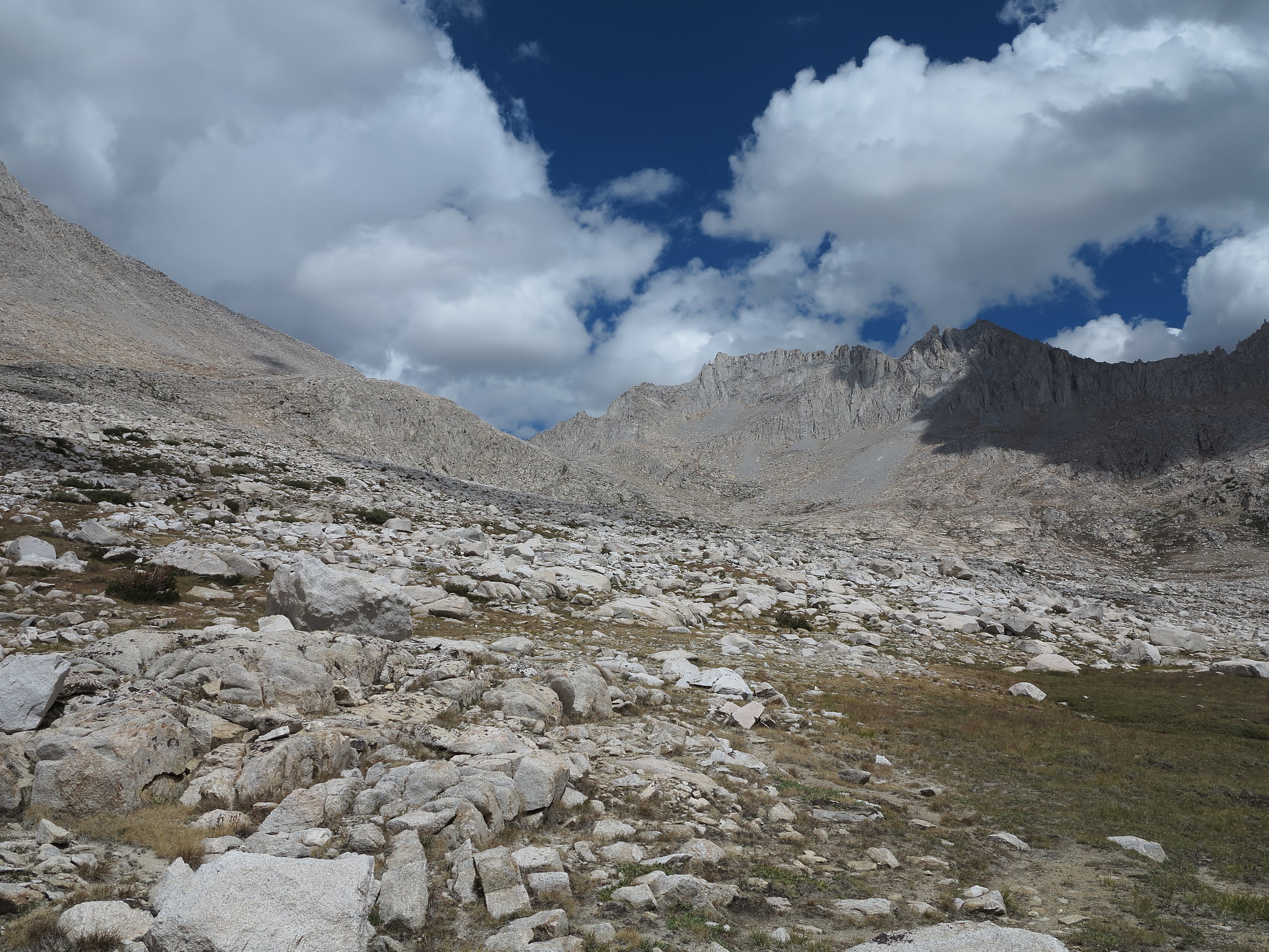
GENERAL OVERVIEW: This pass leads from Lake Italy into the 2nd Recess and passes by Upper and Lower Mills Creek lakes.
CLASS/DIFFICULTY: Class 2
LOCATION: John Muir Wilderness in Sierra National Forest. Located on the ridge-line between Mt. Gabb and Mt. Abbot. HST Map
ELEVATION: 12,258
USGS TOPO MAP (7.5'): Mt. Abbot/Mt. Hilgard
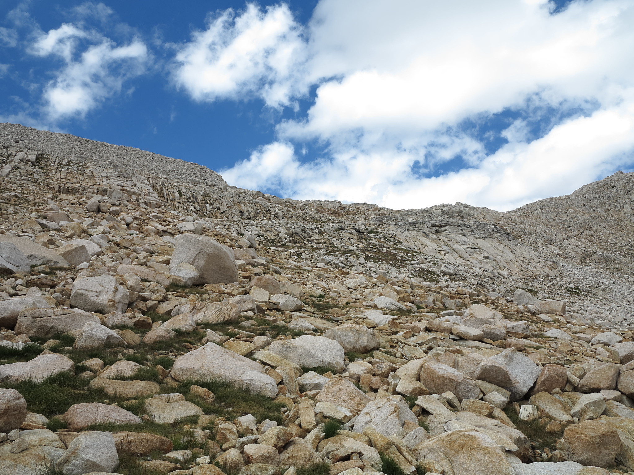
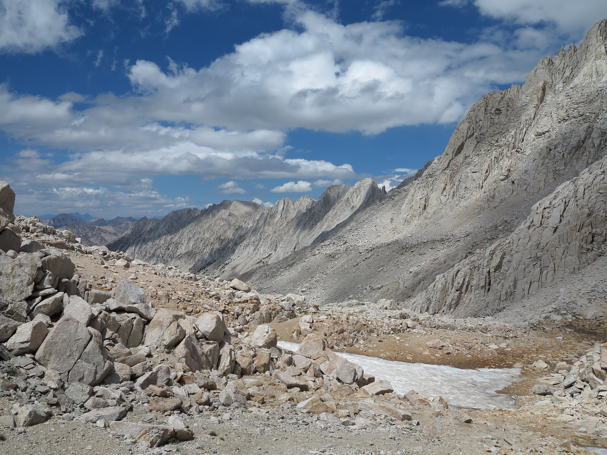
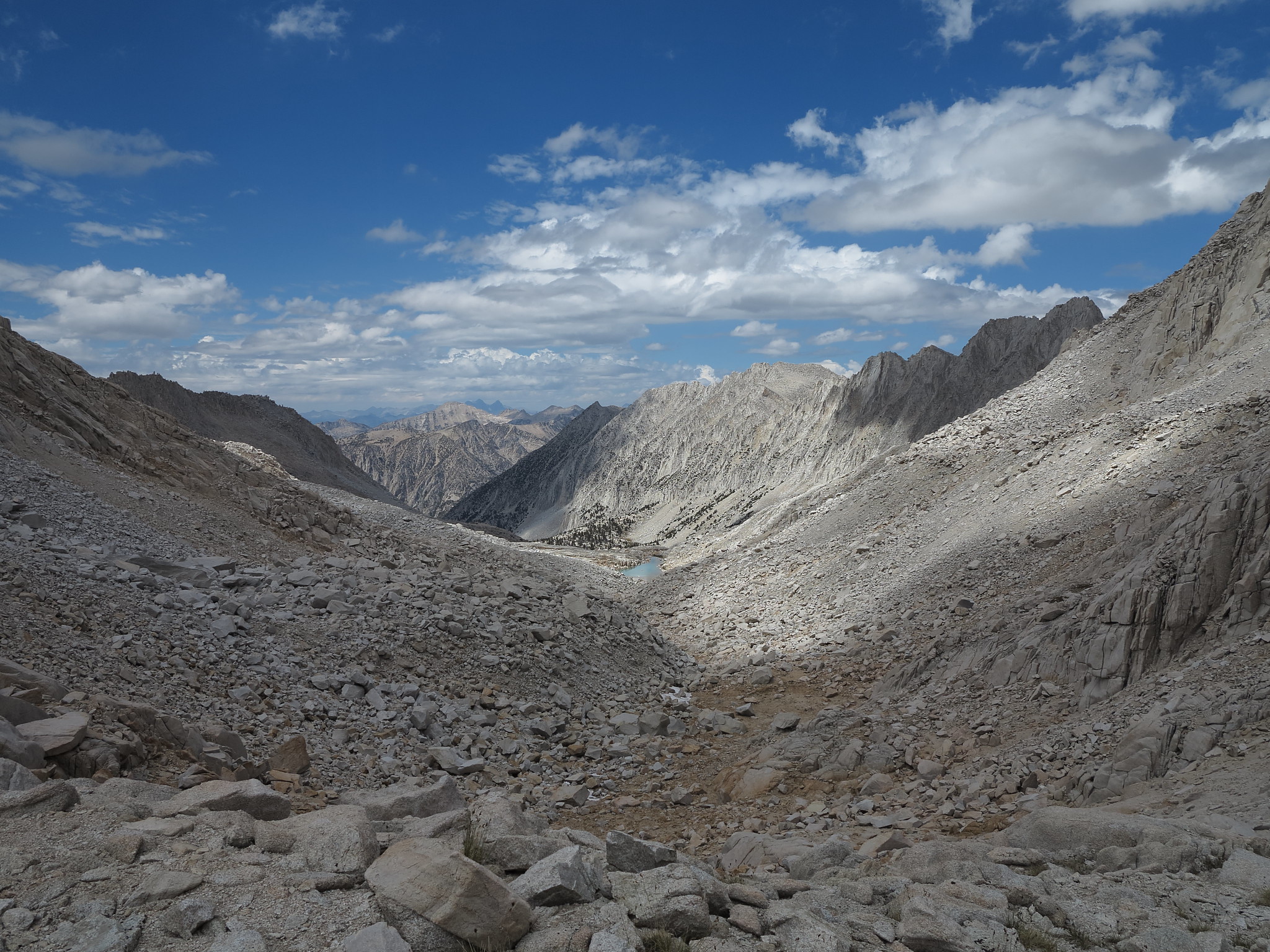
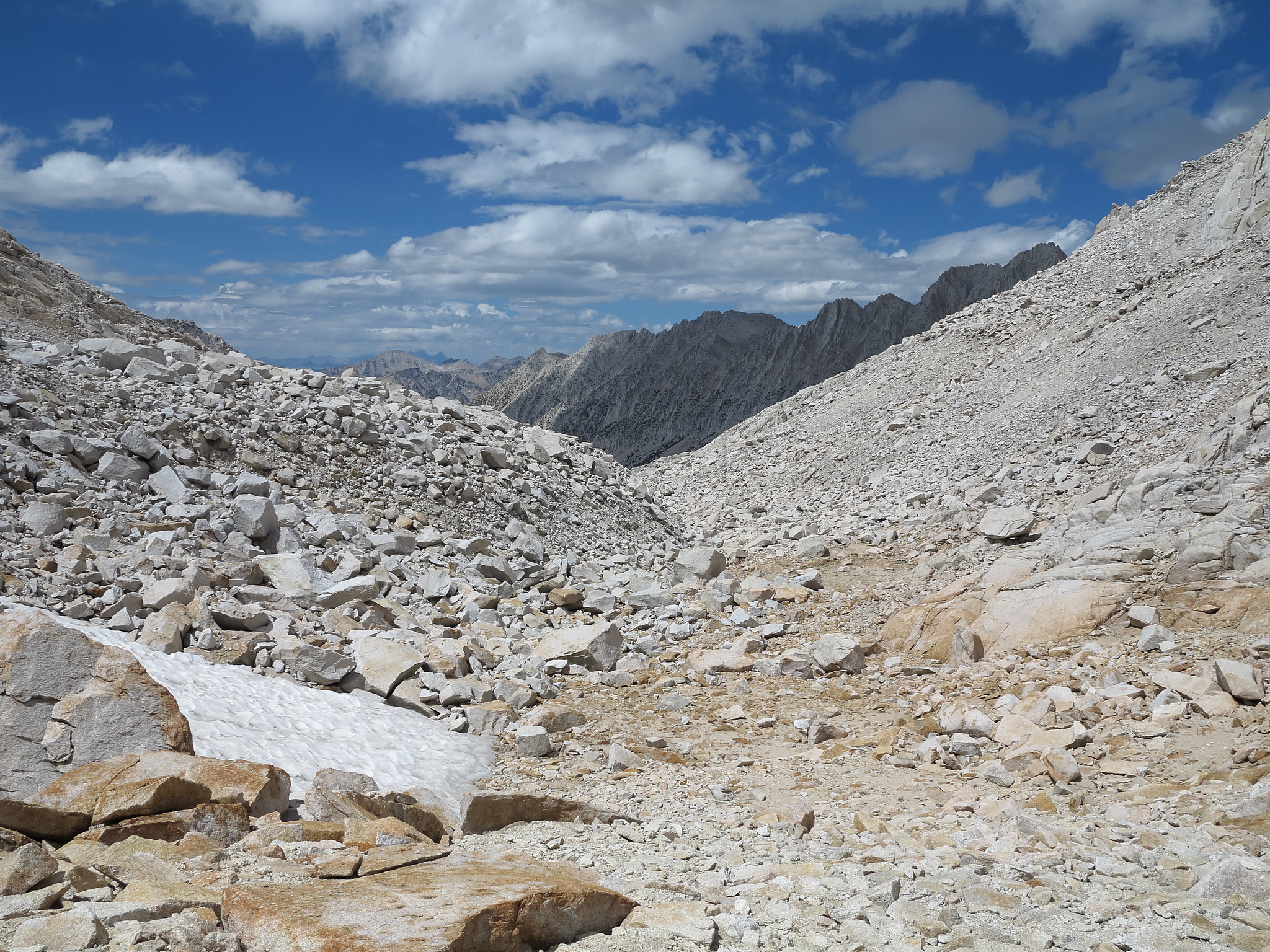
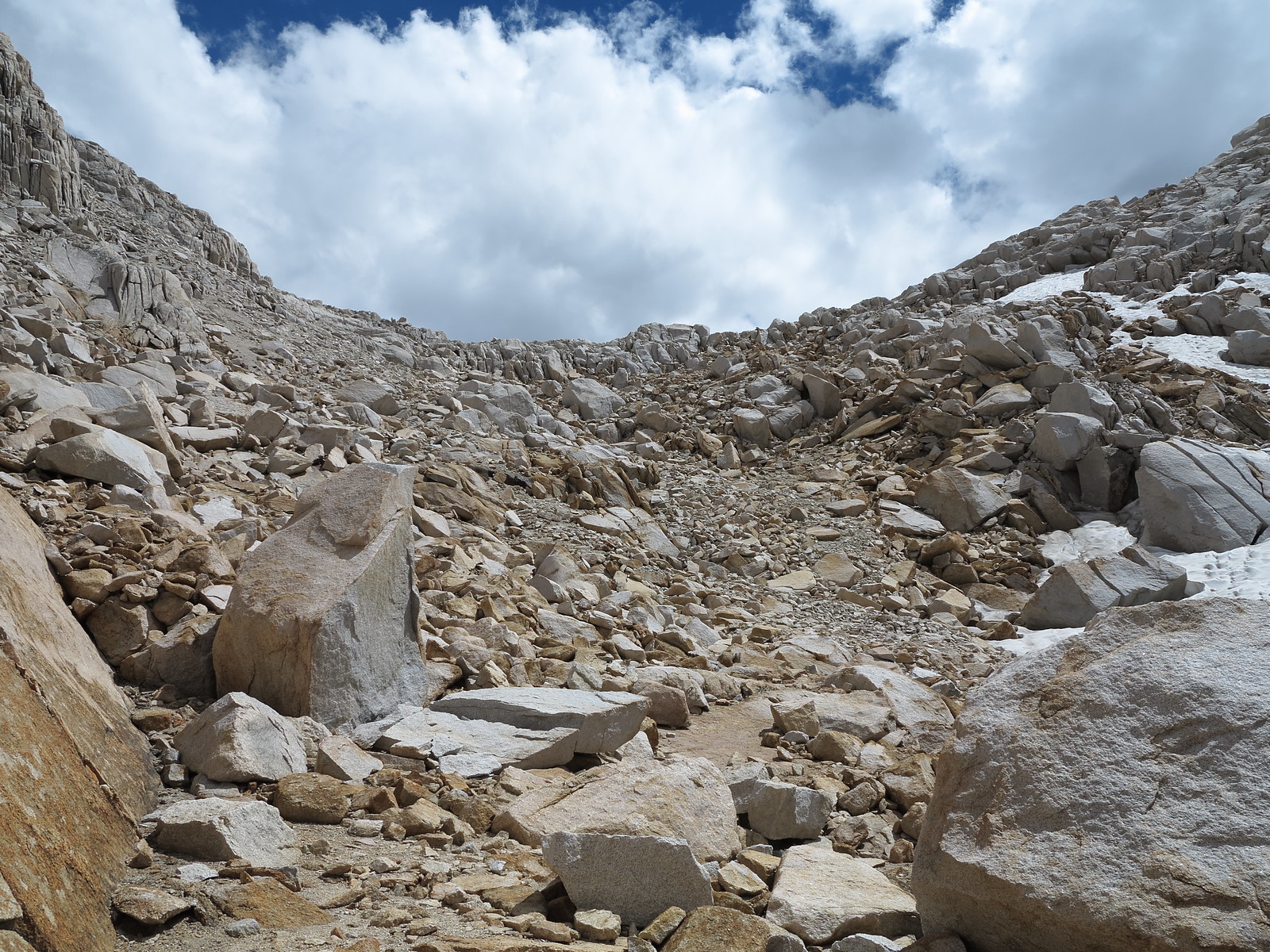
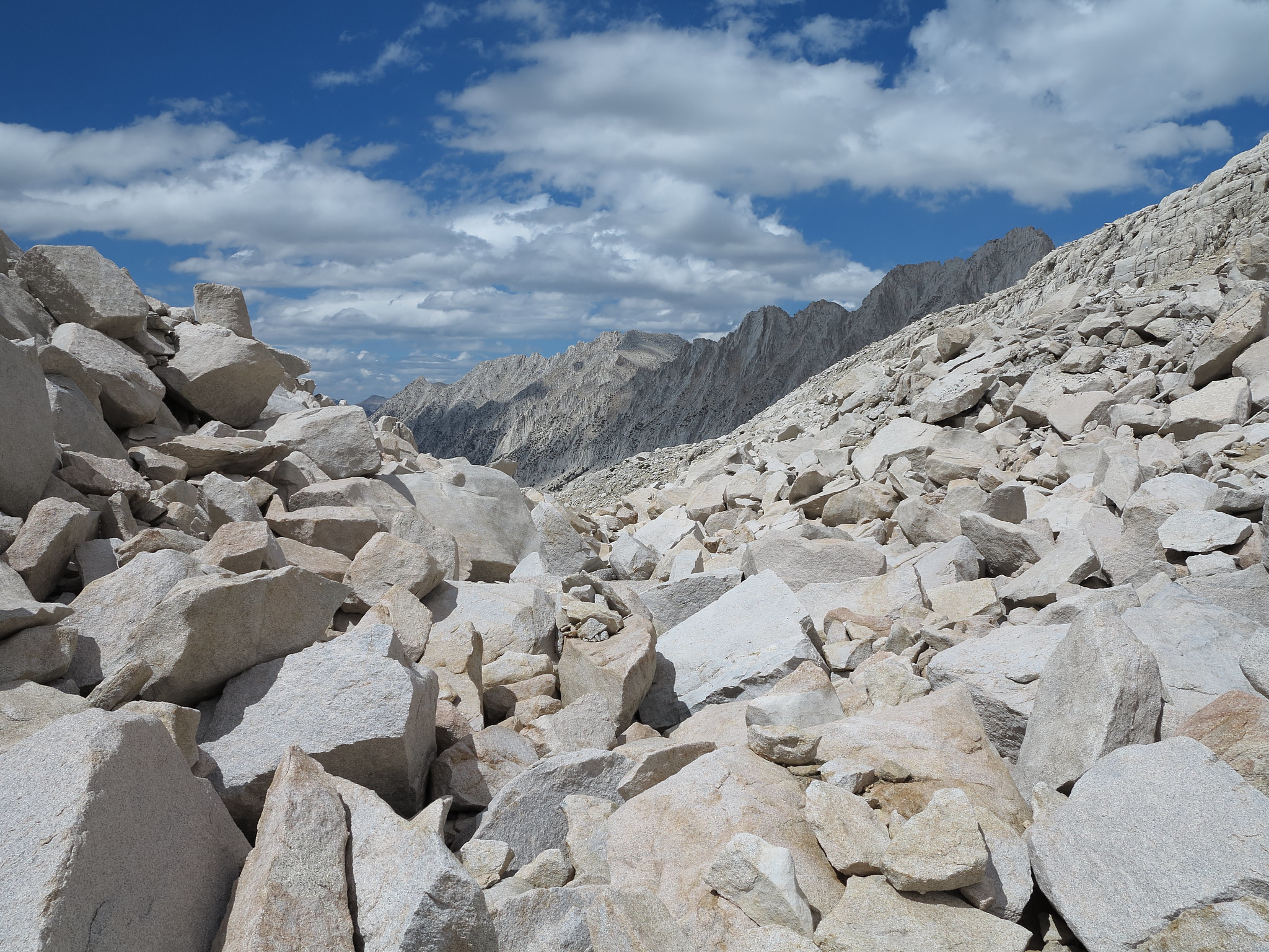
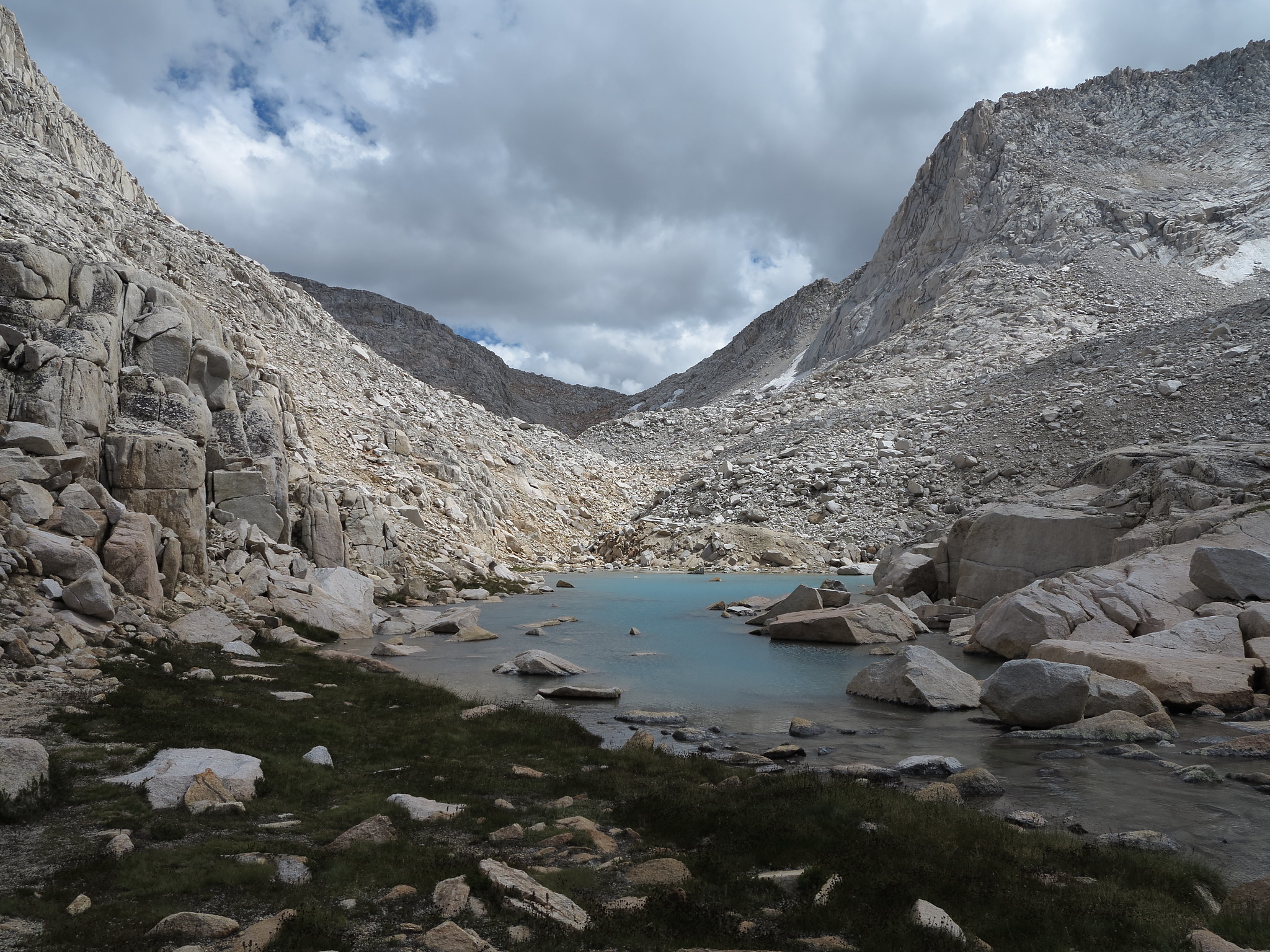
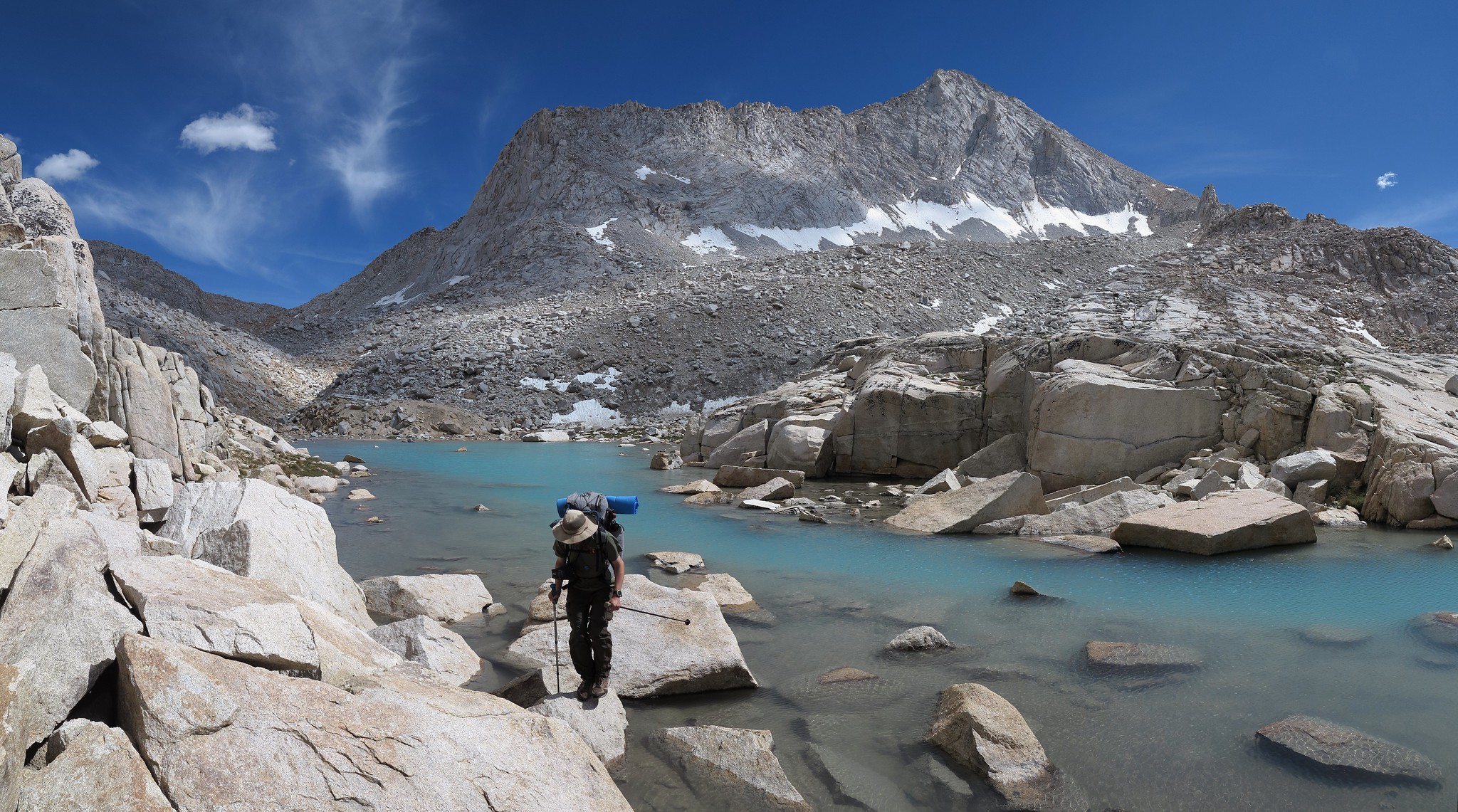
ROUTE DESCRIPTION: A classic Sierra High Route Pass. The South side of this pass is easy with granite benches and some grassy slopes.
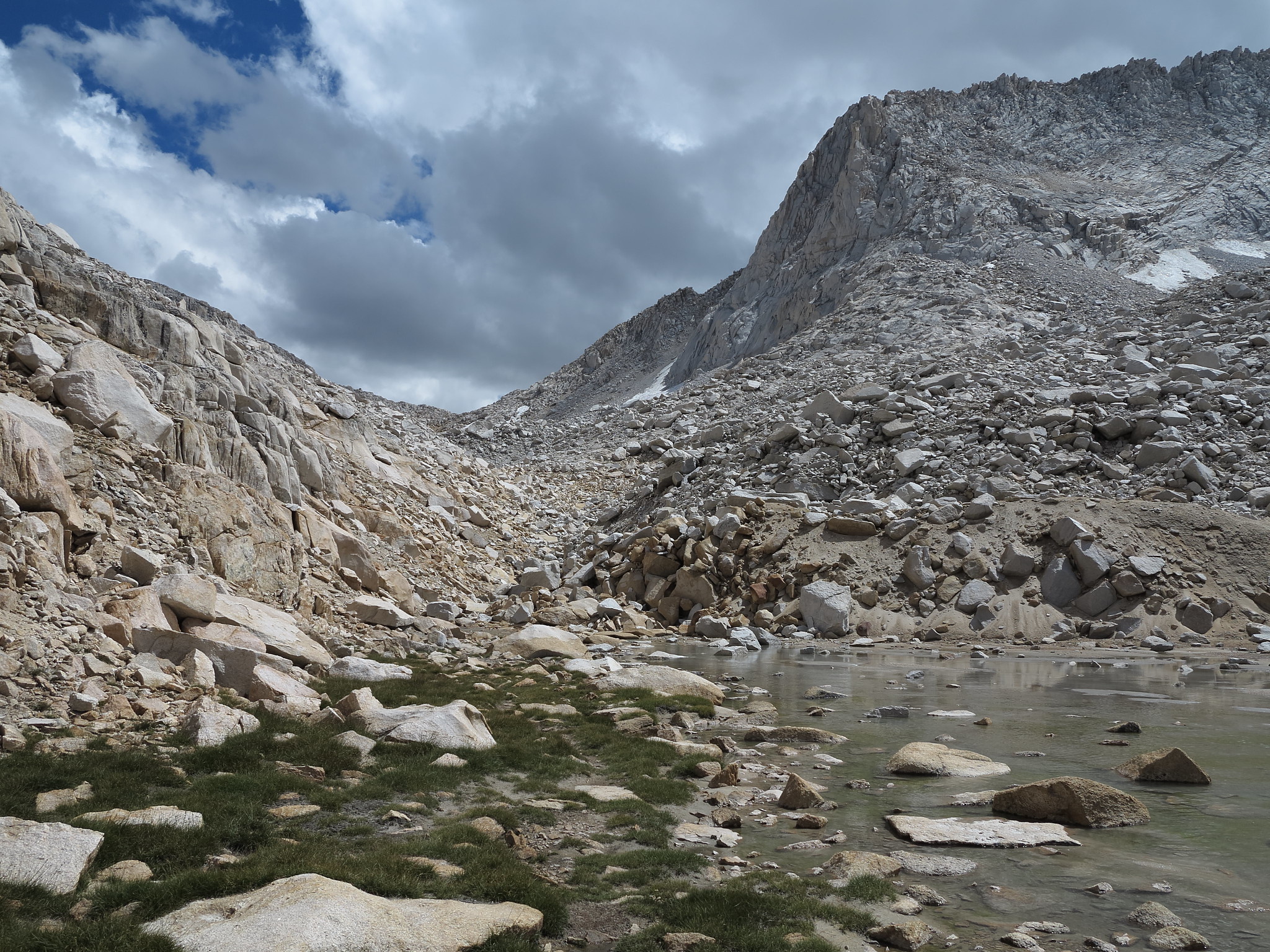
The North side goes through narrower talus fields with some large boulders until it descends down to a tarn. After the tarn and after passing Upper Mills Creek lake, Lower Mills Creek Lake comes into view and one can decide to follow the creek down through some brush or go through granite benches and slopes down to the lake. After that the route occasionally follows a faint trail down into the 2nd Recess.
Last edited by maverick on Thu Aug 28, 2014 11:58 am, edited 1 time in total.
Reason:titles highlighted
Never put off a backpacking trip for tomorrow, if you can do it today...
Alpine Mike-