GENERAL OVERVIEW: This pass crosses between Crown Basin and Blue Canyon
CLASS/DIFFICULTY: Class 2
LOCATION: On the border of Kings Canyon National Park and John Muir Wilderness / Sierra National Forest 1.2 miles SSW of Finger Peak | on the HST Map
ELEVATION: 10,970
USGS TOPO MAP (7.5'): Mt. Goddard / Blackcap Mountain
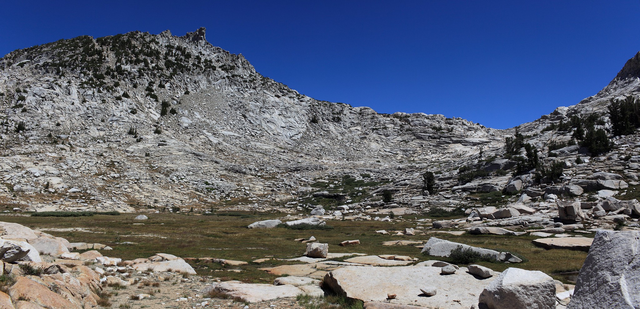
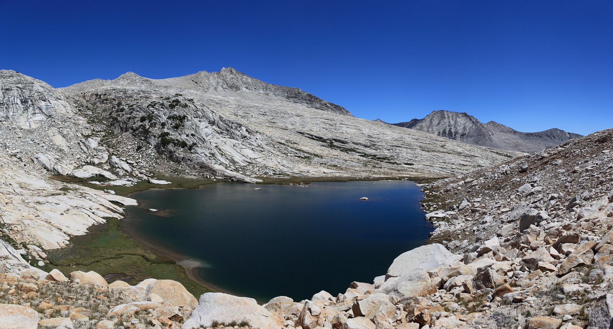
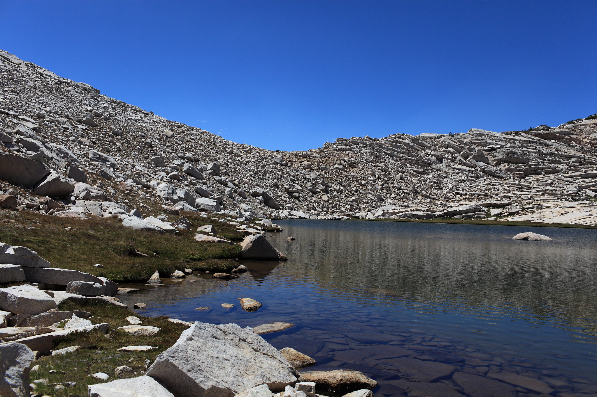
ROUTE DESCRIPTION: From Crown Basin stay on the North side of creek and make your way up some steep sections of hillside covered in rocks. Pass Hummingbird Lake on it's North shore and continue up towards the pass on easy class 1-2 terrain. Once on the pass angle slightly right and drop down some small talus until you reach the lake below. This short 100 foot scramble down is the only terrain of the pass that poses any sort of "annoyance".