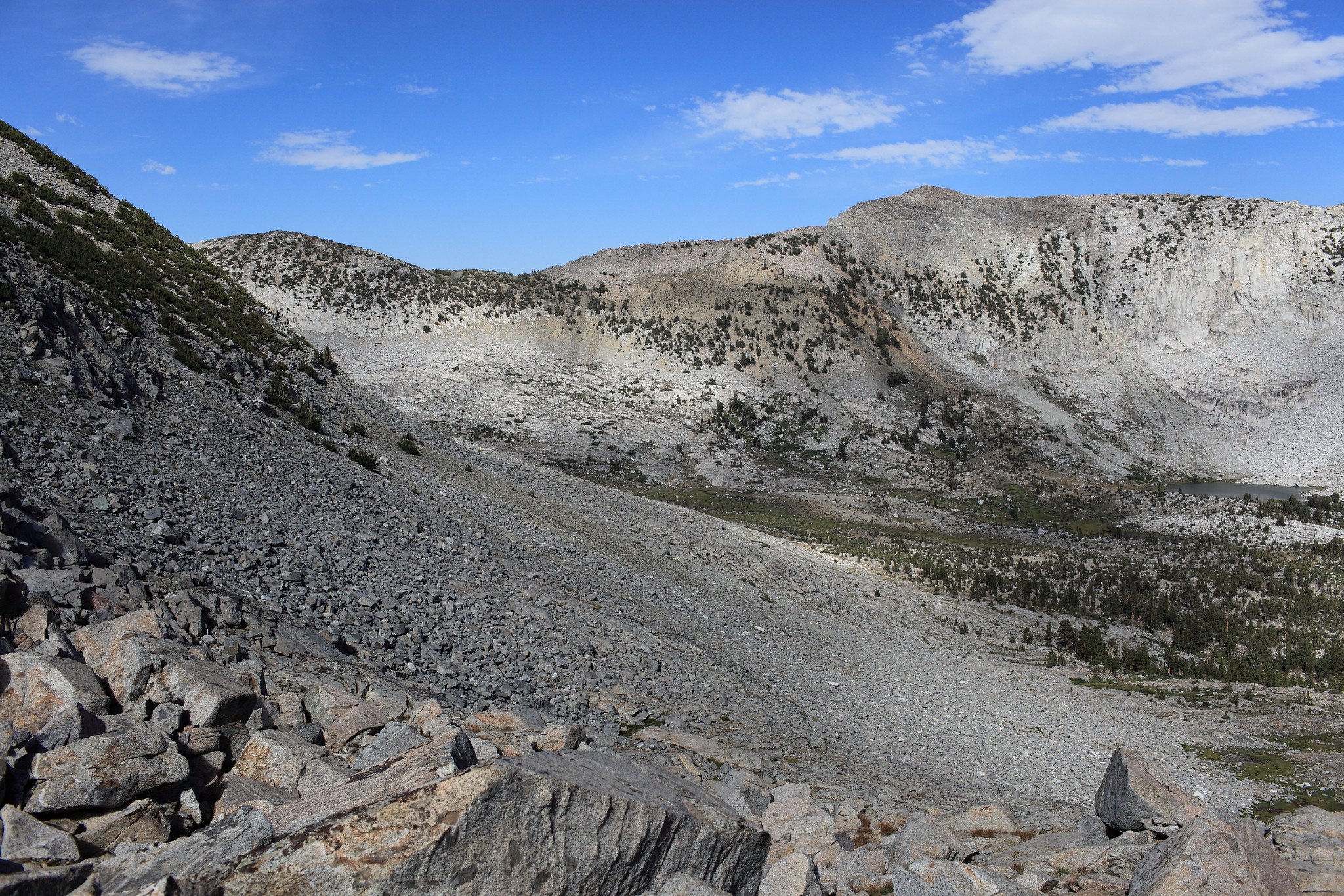
GENERAL OVERVIEW: This pass leads between the upper reaches of Blue Canyon and Alpine Creek
CLASS/DIFFICULTY: Class 2
LOCATION: Kings Canyon National Park 1.2 miles SW of Tunemah Lake | Location on the HST Map
ELEVATION: 11,070
USGS TOPO MAP (7.5'): Mt. Goddard / Slide Bluffs
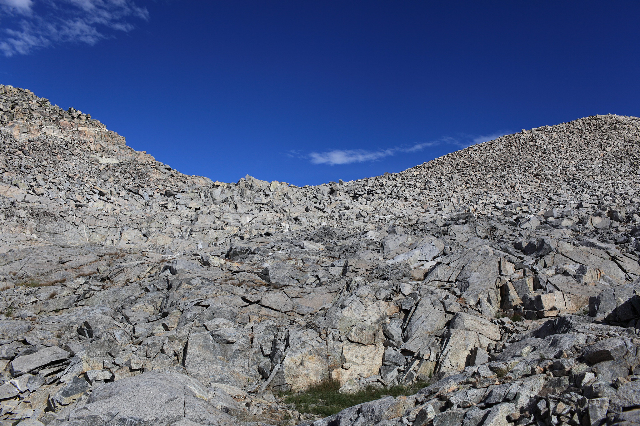
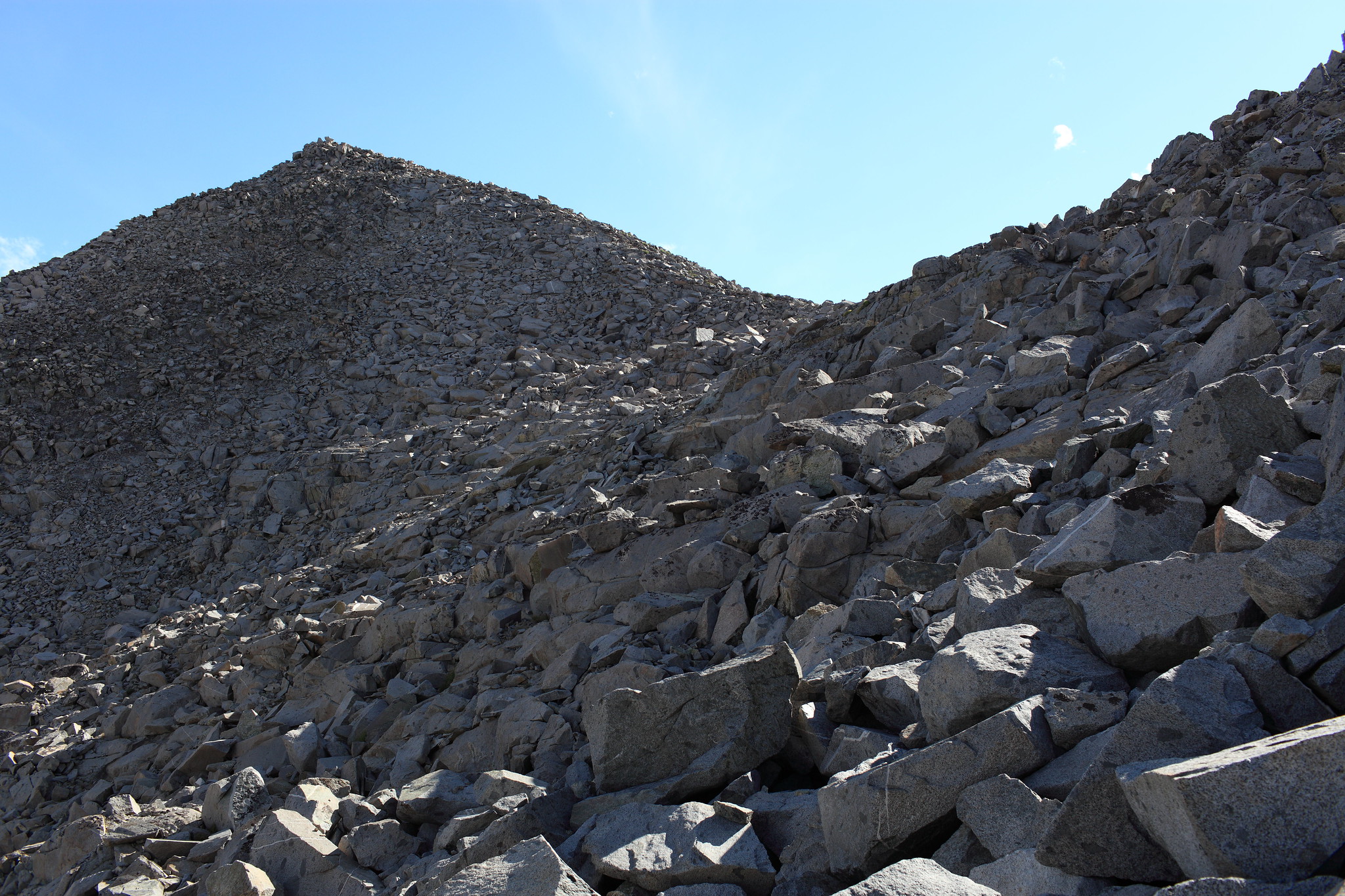
ROUTE DESCRIPTION: When crossing West to East at the base of the pass there is an obvious cut in the hill side with a grass filled ramp. Go into this and climb up this easy slope until it ends with you looking at another cut continuing up just below and ahead. Hook hard left out of this and begin angling up towards the pass. Some small loose rock is encountered but nothing of concern.
The East side consists of medium sized mostly stable talus. If your headed for Tunemah lake Angle to the North staying at around 10,900 feet until you round the hill side into the canyon. Continue along the slope until some easy options to drop down show themselves.