Member descriptions, photos, and map locations of Cross Country Passes in the High Sierra. This forum is for information only - discussions should be kept in the appropriate categories. This forum is a component of the HST Map. We need your help to complete the database, so please contribute!
GENERAL OVERVIEW: This pass leads between upper Goddard Canyon and Martha Lake to the Goddard Creek drainage.
CLASS/DIFFICULTY: Class 2-3
LOCATION: Kings Canyon National Park directly down the NE slope of Mt. Reintein. HST Map
ELEVATION: 11,900
USGS TOPO MAP (7.5'): Mt. Goddard
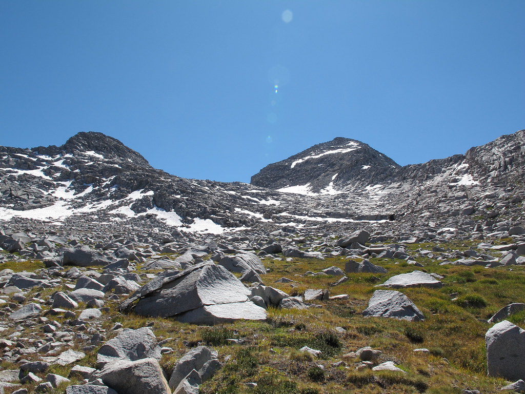
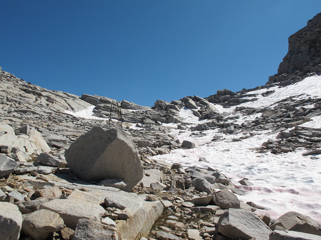
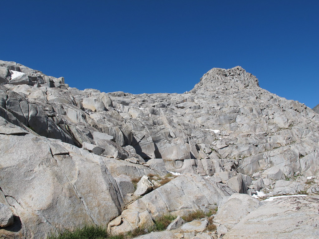
ROUTE DESCRIPTION: From Martha Lake you can go around either shore line. Begin up grassy slopes covered in boulders aiming for Mt. Reinstein. When you reach intermixed granite slabs many easy routes show themselves. From here begin angling up towards the pass picking your way as you go. The descent on the Southern side is a mix of very large slabs and boulders. Due to the nature of the pass a detailed route cannot be given yet it is difficult to remain on class 2 rock. You will probably have a few class 3 moves.
I did this pass with more snow on the ground. In a high snow year, the north-facing south side of Martha lake has a large snowfield that looked difficult. Although longer, the north side is an easy walk on flat grass and I think the better choice for most people. I was pleasantly surprised that even when quite a bit of snow is on the pass, there were dry rock ledges you can zig and zag and avoid getting on snow. If willing to do a lot of zig and zags, the whole thing is class 2; if willing to do a bit of scrambling on a more direct route, you may get into a bit of class 3. But this is an easy pass - more of a route finding puzzle than technically difficult pass.
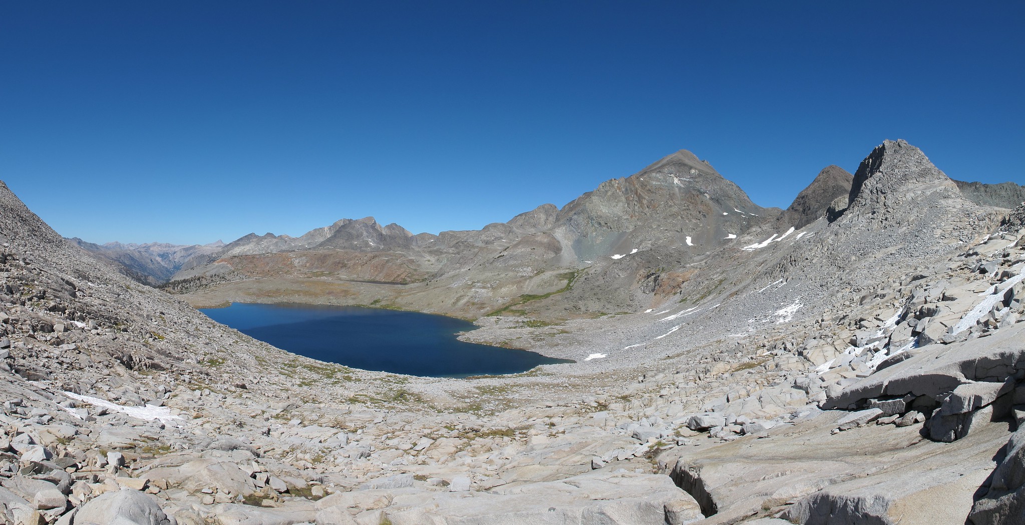
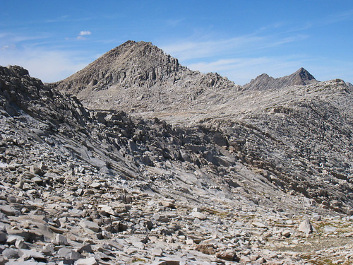
from the top of reinstein pass (where these pictures are taken), one can skirt north & west towards valor pass (dead center in this pictire) and get into blackcap basin. the east side of valor is class 2 but one can get into a few class 3 moves.
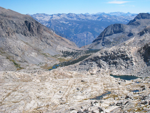
another shot from reinstein looking south - easy travel with class 2 bench & ramp work just south of reinstein pass. staying further west on the south side makes things a bit easier to avoid some class 3 moves in getting from ramp to ramp.