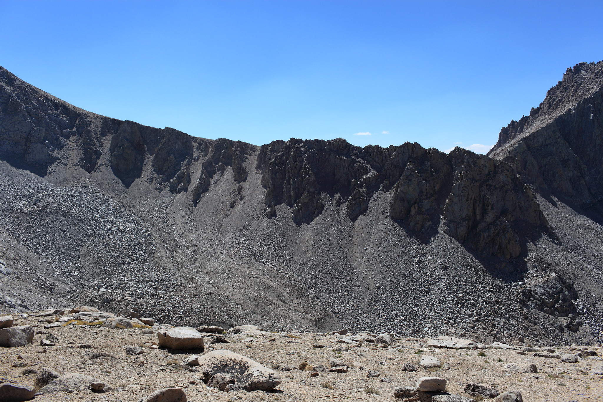
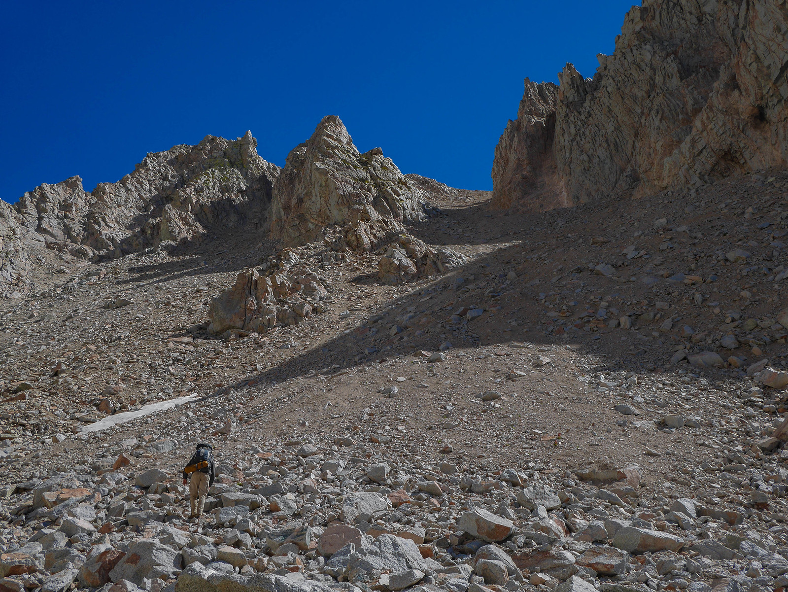
GENERAL OVERVIEW: Crosses the Kings-Kern divide, just east of Mt. Ericsson Crags.
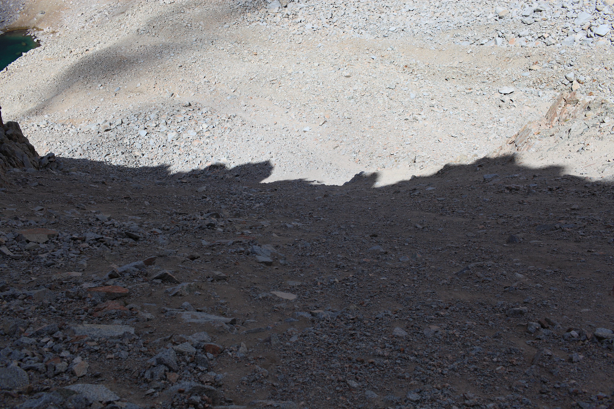
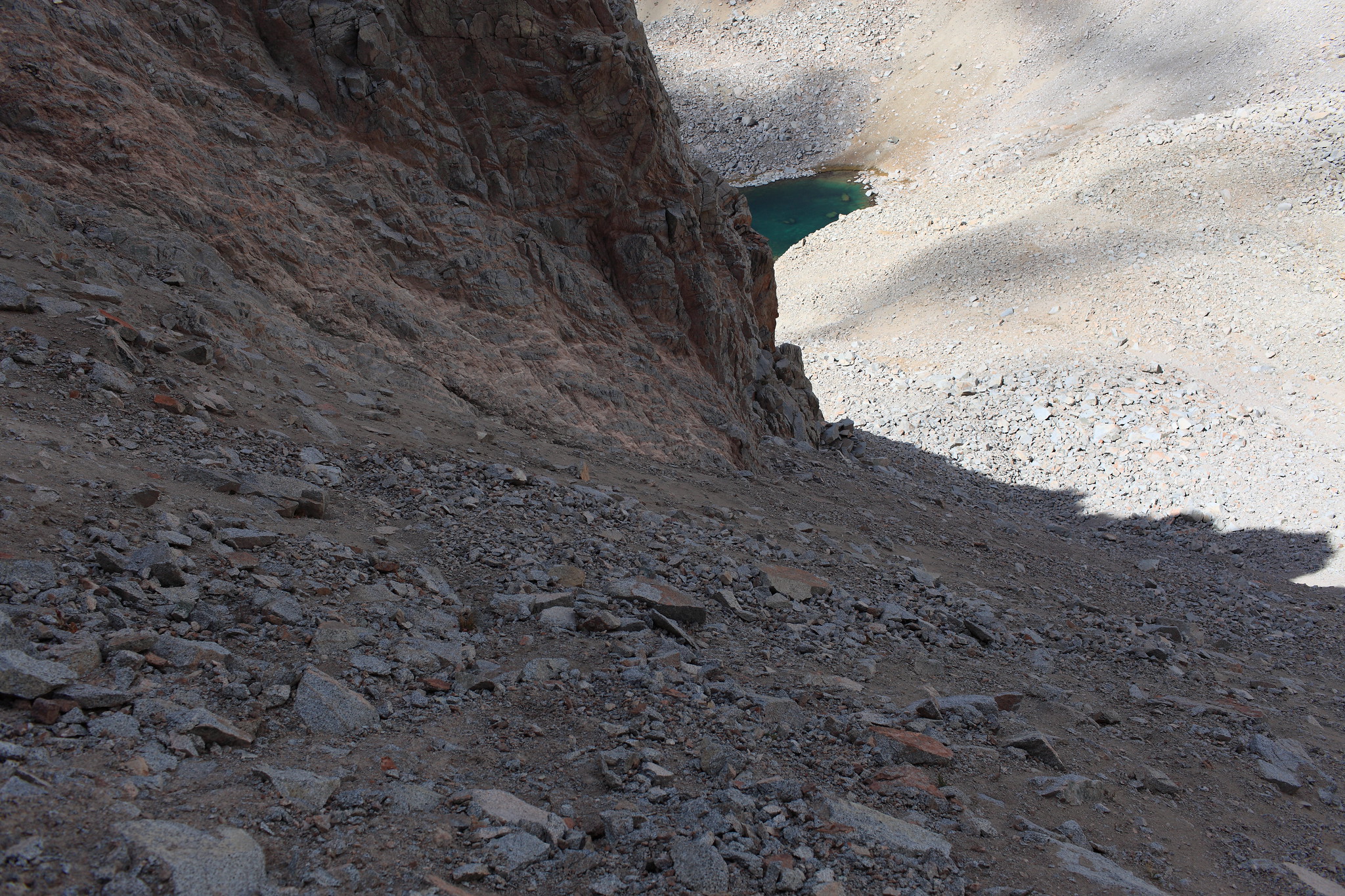
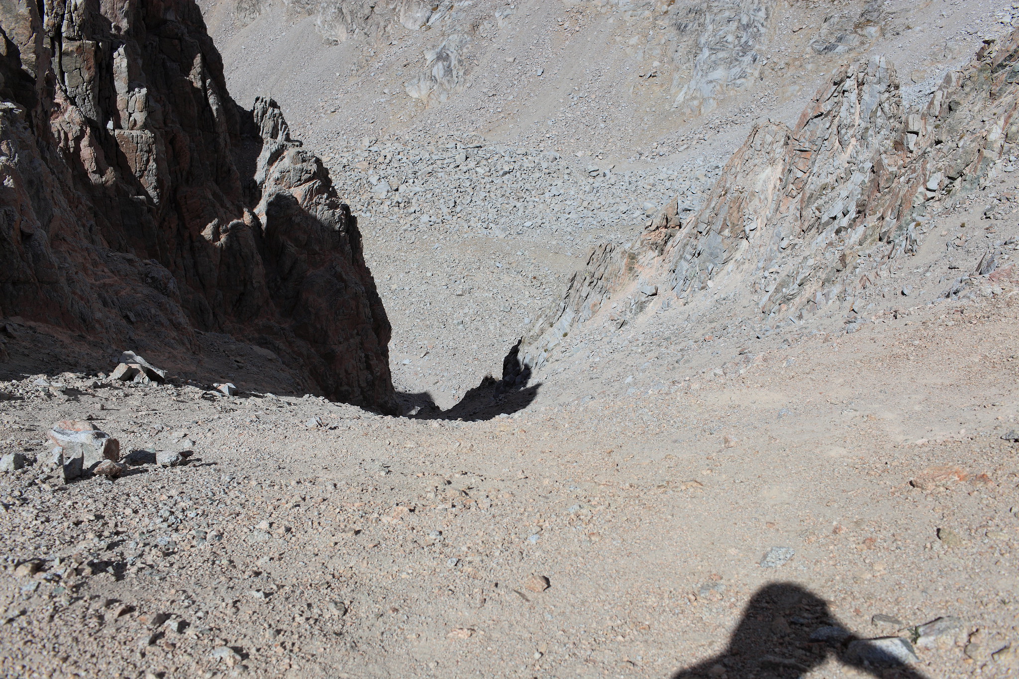
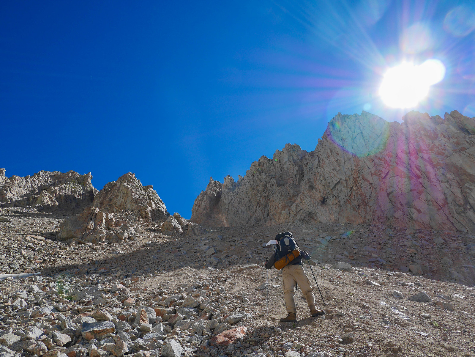
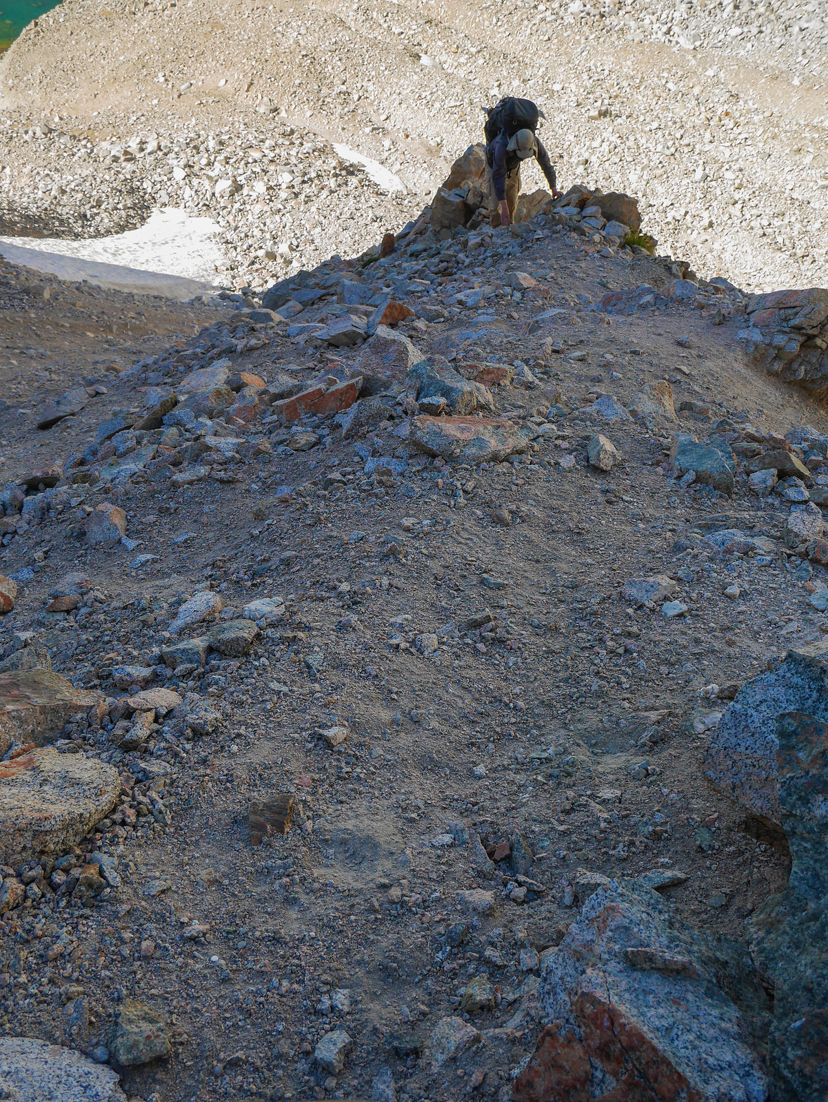
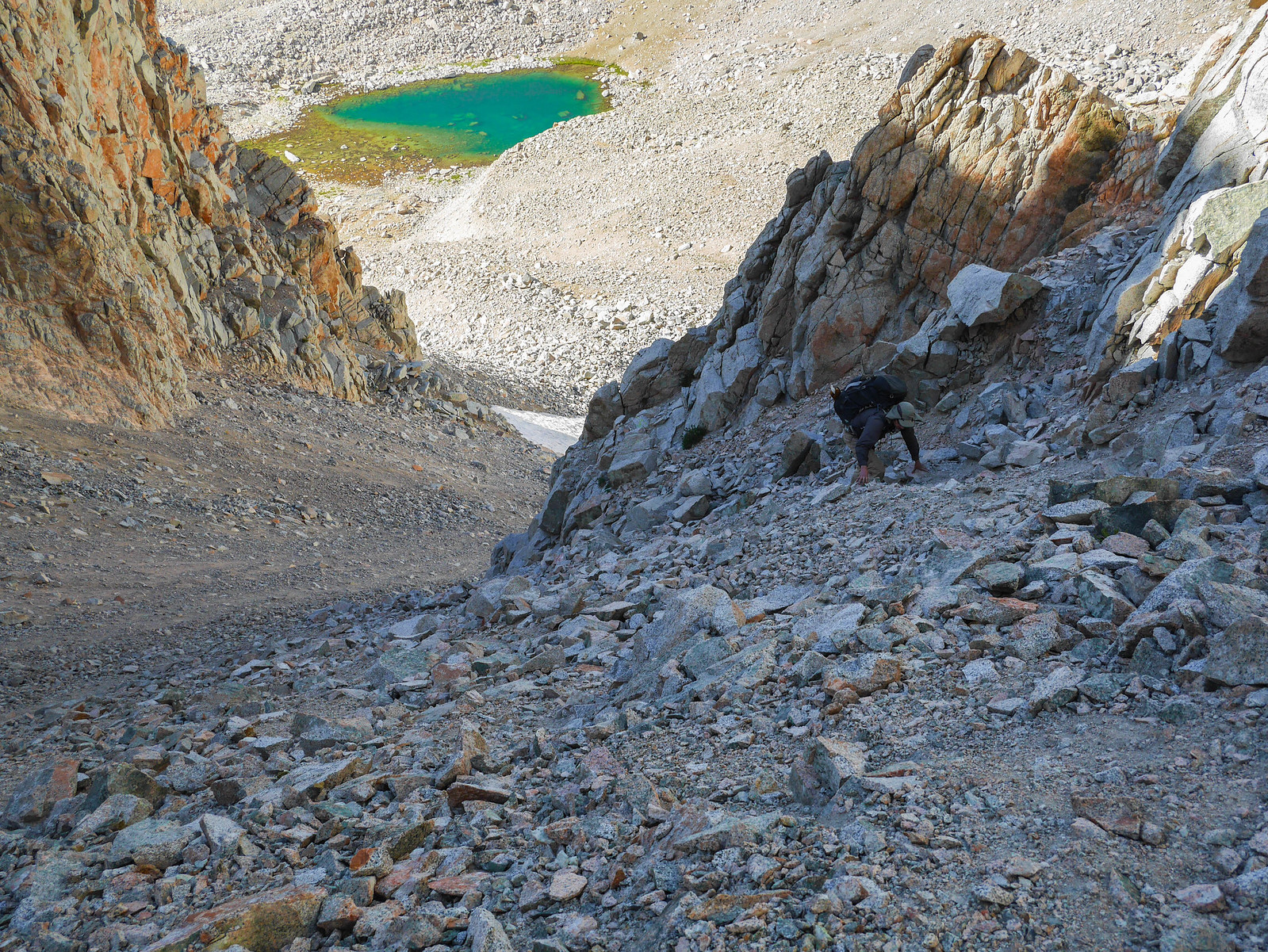
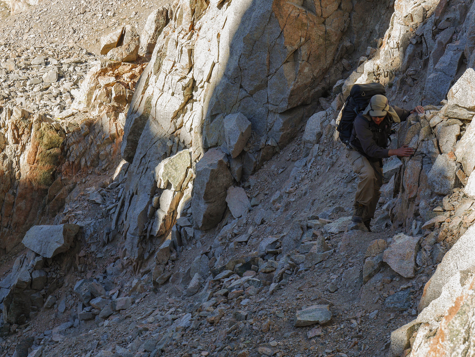
CLASS/DIFFICULTY: Class 2, except for when there's snow like in the photos below, when it's more class 3.
ELEVATION: 12,720 ft
LOCATION: Kern Divide, Kings Canyon National Park. | Locate it on the HST Map
USGS TOPO MAP: Mt Brewer
DESCRIPTION: South side is easy -- head towards the west of the rim of the bowl(?), and look for cairns
North side is confusing. There are ducks, but then there are always ducks leading somewhere. Eventually leads to the East Lake trail
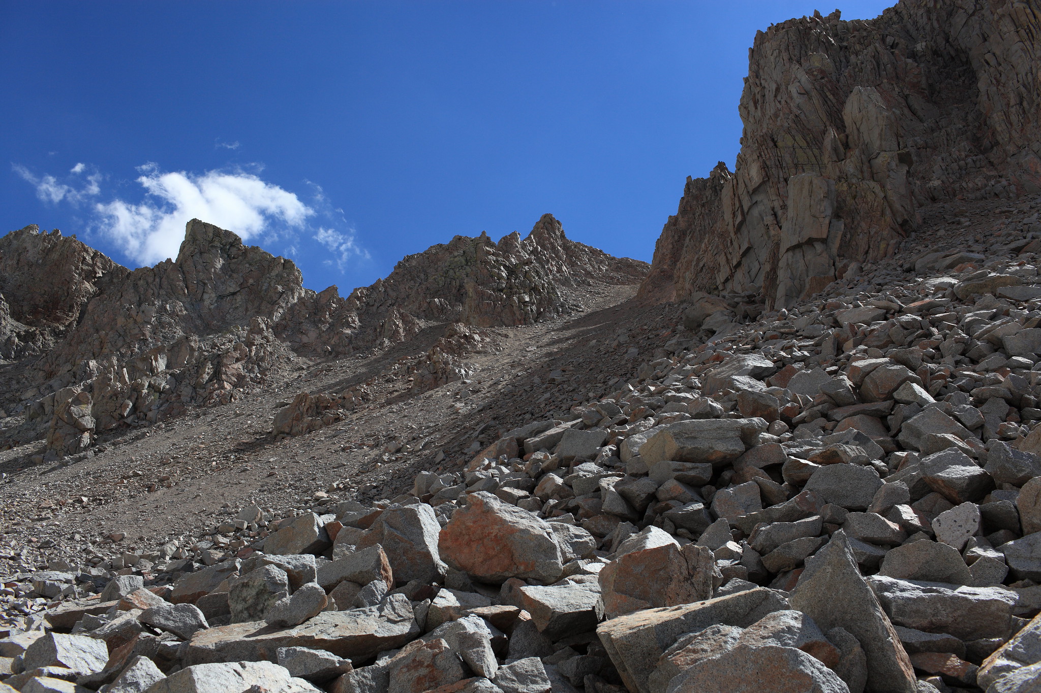
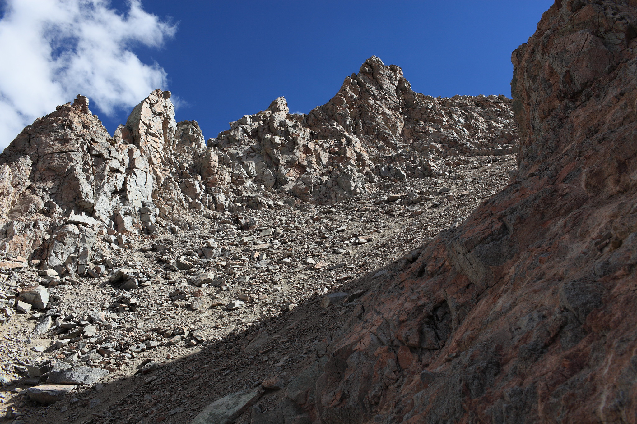
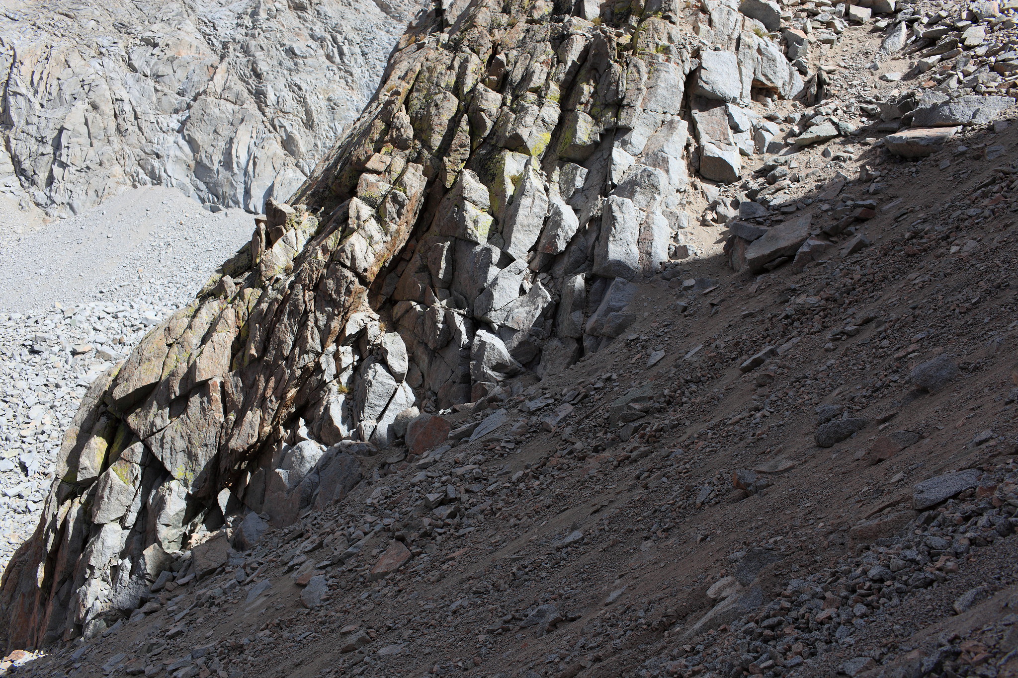
PHOTOS:
It's not as scary as these look, at least when there's less snow. The 3 photos below depict the North face of Harrison Pass.