
We left Onion Valley at around 3:30 PM heading fro the Keasarge Lakes. I had not been to Keasarge in over 30 years. It was a little damp and cloudy but beautiful nonetheless. We had camp set up by 7:PM.

The next day we headed down to Vidette Meadow then east-southeast on the JMT to the treeline about 1.5 miles north of Forester Pass. The view was too good and the clouds were building on Forester so we decided to camp for the night.

Looking SE up Bubbs Creek twds Mt Stanford and Forester Pass.

Sunrise from the tent.

Morning View to west. I think this is Gregorys Monument?

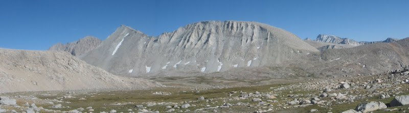
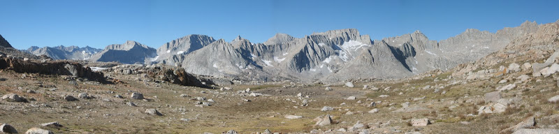
A panorama of Greogory's Monument and Mt Stanford?

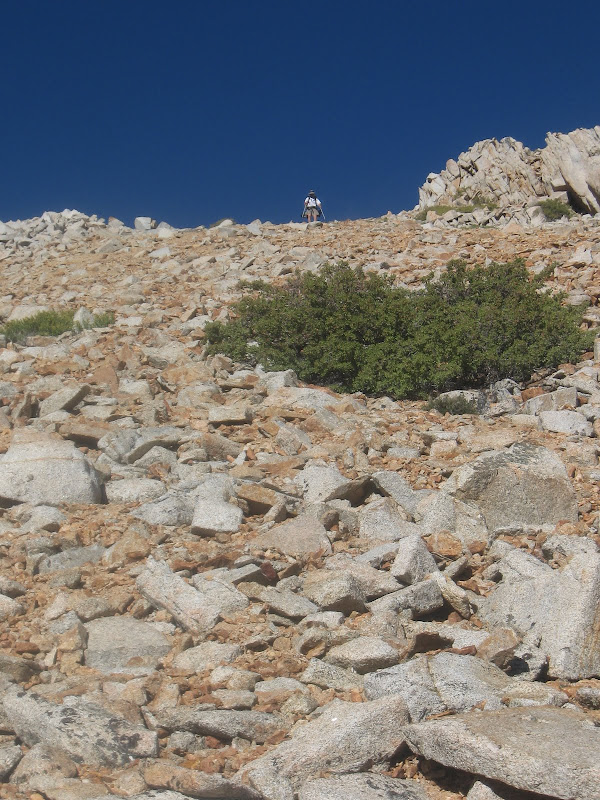
Random hiker going up the north side of Forester.
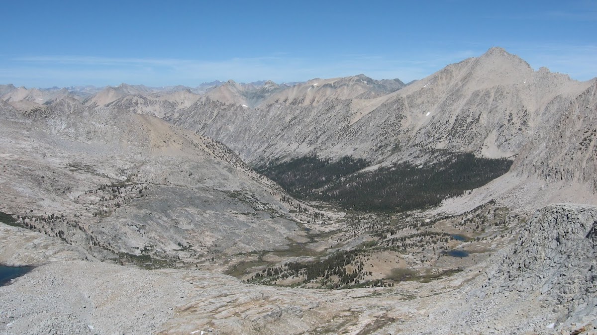
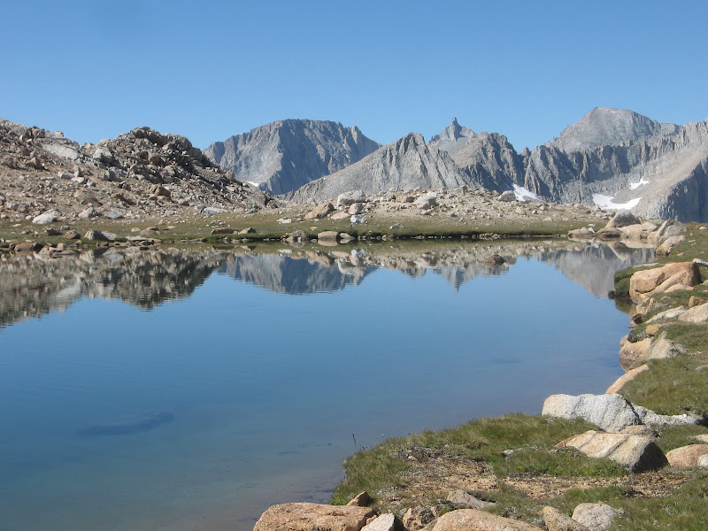
Looking north up Bubbs Creek. We spent the night at the upper right lake .

The Great Western Divide from Forester Pass. While going up the pass we ran into 10 British Navy personnel who were on their final days of a 21 day JMT through hike. We could see them for miles as the were all in dark clothes and hike in unison. We called them the caterpillar.
From Forester we walked the JMT for a mile or two then headed west cross country for the Lake South America trail
Tyndal from the JMT.
Coming west over the ridge between the JMT and Lake South America trail.
[
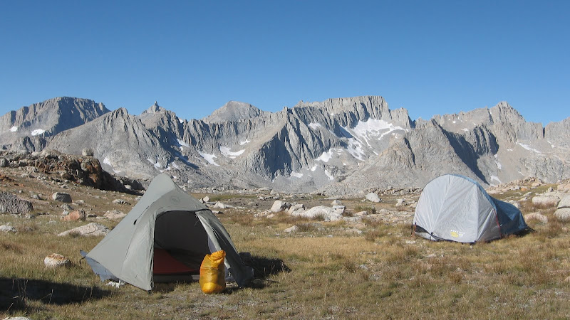
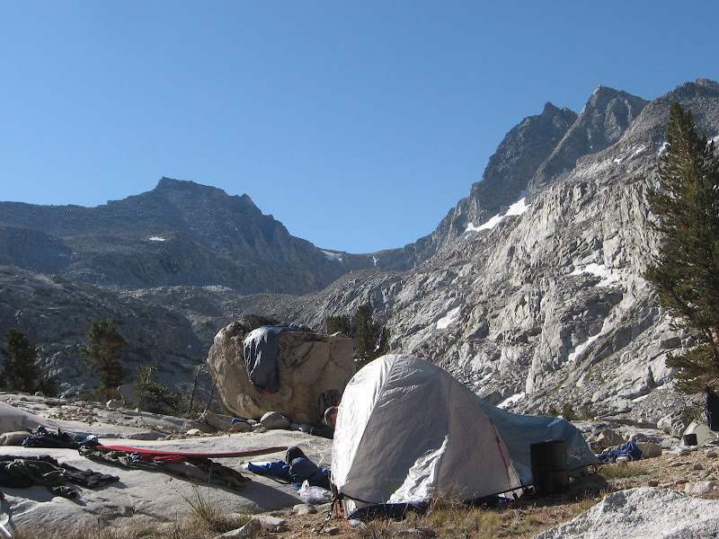
We set up camp on a knoll just NW of Lake South America.
The next morning we packed up for our adventure consisting of crossing Harrison Pass and Deerhorn Saddle.
On the hike up to Harrison are some incredible views.
The Great Western Divide
Milestone Peak

Mt Genevra

Looking north up the easy side of Harrison Pass.

On top of Harrison looking down the canyon that leads twds Lake Reflection and East Lake.

Looking north at Deerhorn Saddle.
Now the fun begins. Down the steep north slope of Harrison.

My buddy down-climbing the east side of one of the chutes in Harrison Pass.

I did not have the confidence to down climb with my pack on so I lowered my pack 50 feet then we resumed the down climb.

The crap we down climbed. It gets much easier after this section.

Harrison Pass from Deerhorn Saddle. We came down the chute with the snow at the top, close to the center of the photo.

Looking down the Vidette Lakes basin from Deerhorn. We worked our way down to the Vidette Lakes for the evening.

The view up to the Deerhorn Saddle.

The Magic Hour!
View up the canyon to Deerhorn Saddle from Vidette Lake.
After spending the night at Vidette Lake we wandered down to the JMT then headed back up and over Keasarge. This took about 8 hours.

East Vidette and the Vidette Lakes basin up to the Kings Kern Divide from the trail to Rae lakes.

University Peak on the way down to Onion Valley.
The first couple of nights were cloudy and frosty. The last 3 days were typical, perfect Sierra sunshine and mild temps.
Is there a better place to hike than the Sierra Nevada?

