I had never been to the Marbles until about 2 weeks before, when I had done a dayhike there during a weeklong trip around the Klamath Ranges. I decided we would use my dayhike as a jumping-off point for a longer trip into the area.
I picked him up Monday night, and we stayed overnight in Weed. Next morning we headed to Lovers Camp trailhead. The road is (freshly) paved all the way to Lovers Camp, and it took us about 1 1/2 hours--not bad, and in total driving time from SF it was comparable to some Sierra trailheads.
The first 3 - 4 miles of trail are through forest, and are made even more tedious by a bunch of small ups and downs before you really start gaining elevation. Highlight of this section is a nice 50' or so waterfall (the trail crosses just upstream; you can get a good view of it from a few feet off the trail).
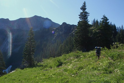
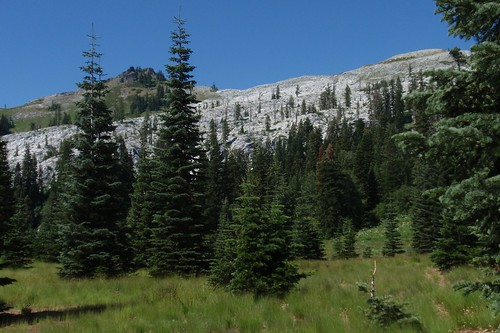
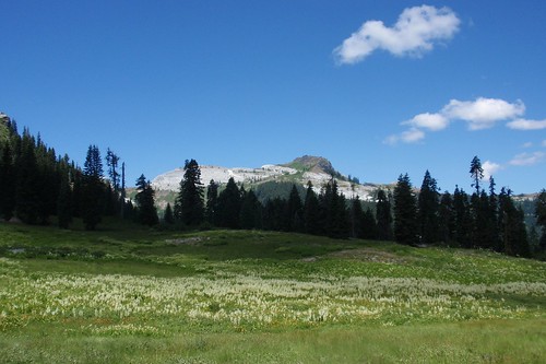
Eventually you come out into the lower end of Marble Valley, and as you traverse over to Sky High Valley the views start to open up. When you emerge into lower Sky High Valley itself, it's a whole lot of wide open vistas.
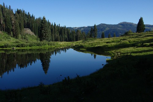
We headed up to Lower Sky High Lake, dropped our packs to scout a site, and found a prime campsite in a grove of trees northwest of (and well away from) the lake.
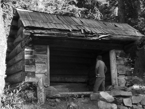
We spent some of the afternoon exploring the area--up to Frying Pan and Upper Sky High Lakes, and over to a cabin we had seen below Lower Sky High Lake. I don't know how old this is or who built it, but the earliest date we saw scratched into the wood was 1946.
And the rest of the afternoon we spent reading and playing cribbage.
Next morning we took our time and got out of camp around 8:30. The trail heads up past Frying Pan Lake...
...and then, in a short steep climb, up to the ridge south of Sky High Valley (great views of Marble Mountain), where we turned onto the PCT for a ways.
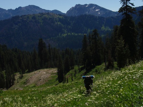
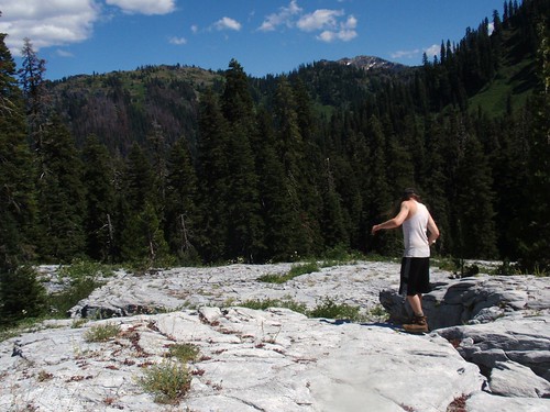
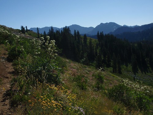
We continued on or near the ridgeline for the next couple of miles (the PCT drops down to Marble Valley after a half mile or so). This section of trail has fantastic views and amazing diversity and profusion of wildflowers.
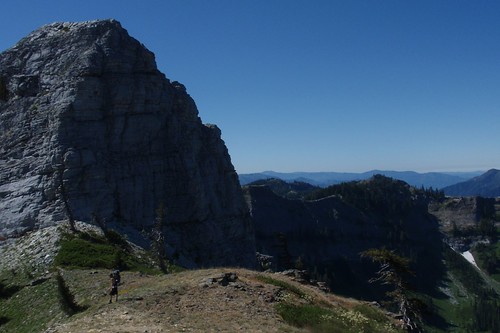
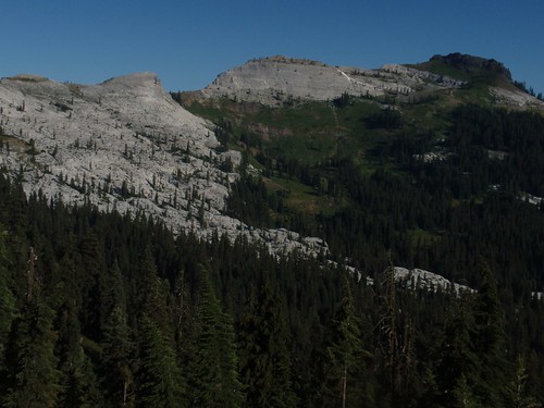
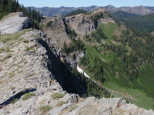
But the highlight is when the trail hits the very edge of the Marble Rim, a semicircle of massive marble cliffs on the north side of the ridgeline.
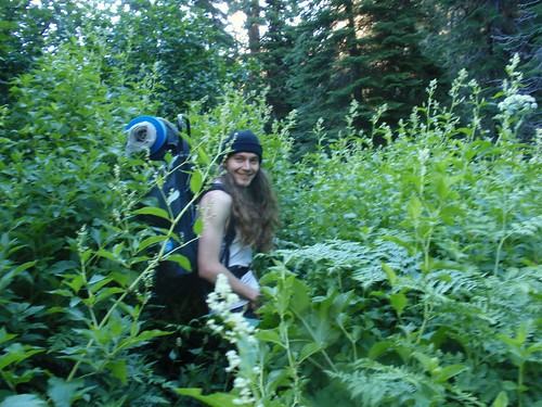
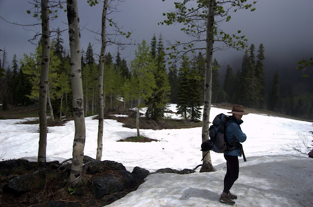
After winding around another spur ridge, we branched off toward Rainy Lake. The trail drops steeply from the ridge, and in places is overgrown with head-high vegetation. (Rainy Valley is noticeably lusher than Marble or Sky High just the other side of the ridge, so I suspect it earns its name.)
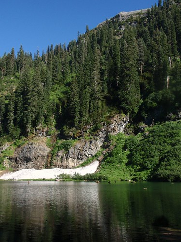
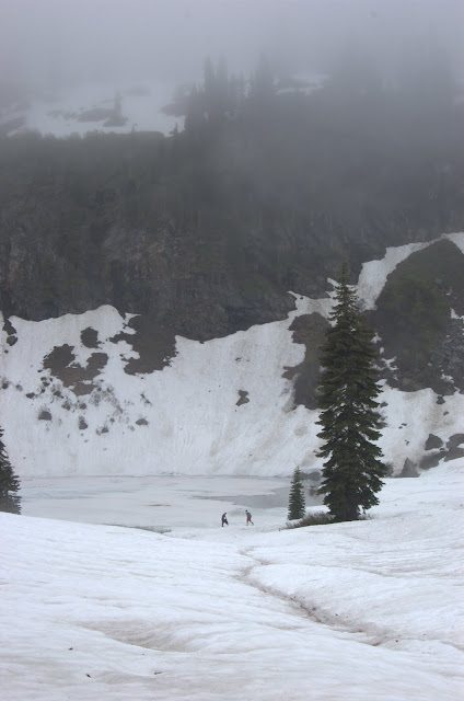
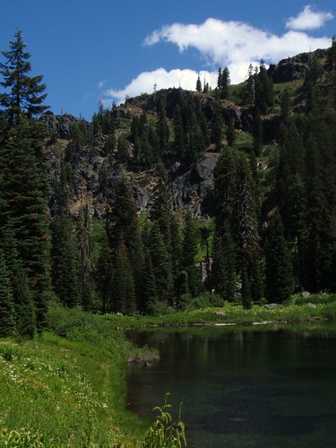
We got the best campsite at Rainy Lake, on a hill above the south shore. Rainy Lake is less open than the previous lakes--much more hemmed in by thick forest. It's very different from most Sierra lakes (even the ones that are surrounded by forest), and may be more typical of the Cascades or Olympics (I'm guessing). Cross-country travel in this terrain would be extremely difficult--as far as I'm concerned, effectively impossible.