
Who: Me & Jesse
What: Backpacking
When: 8/17/17-8/19/17
Where: Grand Teton National Park
Mileage: 29 miles
Elevation gain/loss: +5,150ft/-8,550ft
More photos: here
CalTopo: here
My sister's family, my parents, and I headed to the Tetons for the Great American Eclipse of 2017. The whole trip was incredible (my god, being in totality is... it's just... wow.. maybe more on that in another post) and one of the highlights was hiking a piece of the Teton Crest Trail with my brother in law. The trail follows alongside the Teton crest just to the west, and gives hikers a seldom-seen view of the Tetons, which are much more commonly viewed from the east. We witnessed the most incredible, unbelievable wildflower blooms I've ever seen. Two-thousand seventeen was a banner year for wildflowers, with superblooms propagating from desert floors in the spring to mountain meadows in the summer, and I was lucky to find myself thigh deep in fields of flowers on more than one occasion, including this trip.
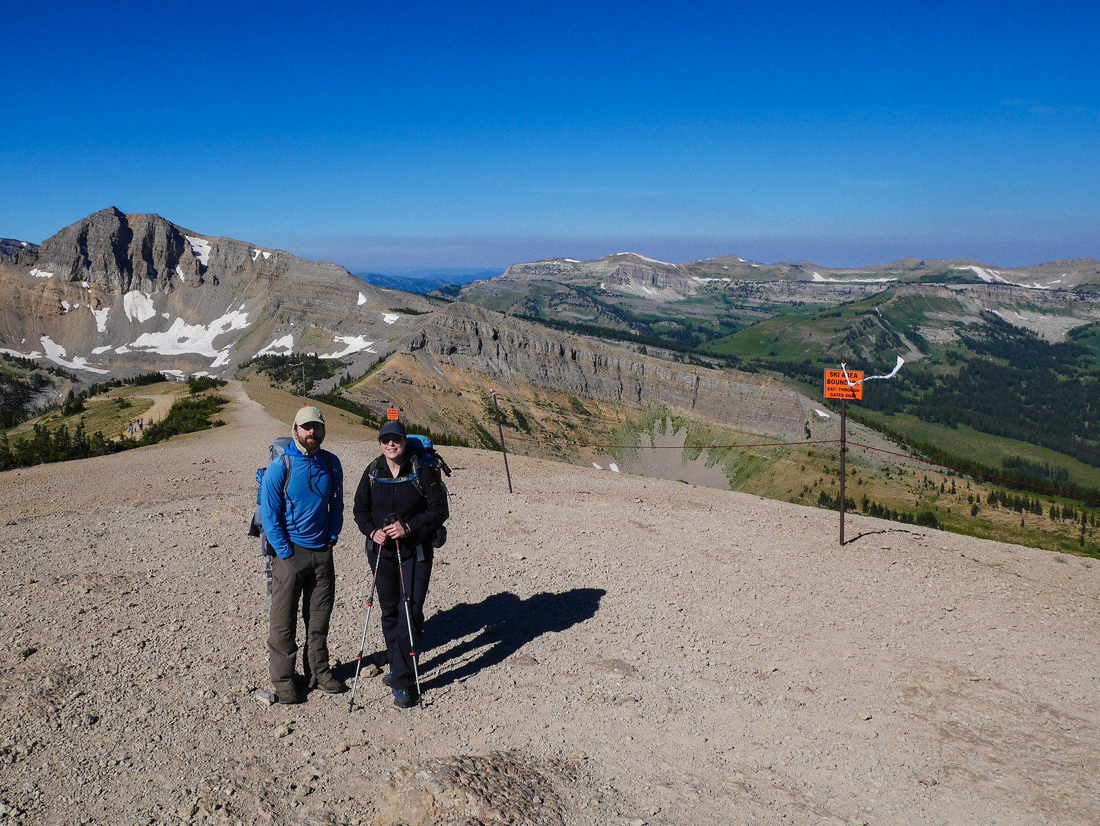
Day 1
Tram to Death Canyon Shelf
11 miles, +2,400ft/-3,200ft
We cheated. We took the tram up to the top of Rendezvous Peak instead of hiking all the way up Death Canyon. This allowed us to be photographed and sent off by my sister and niece.
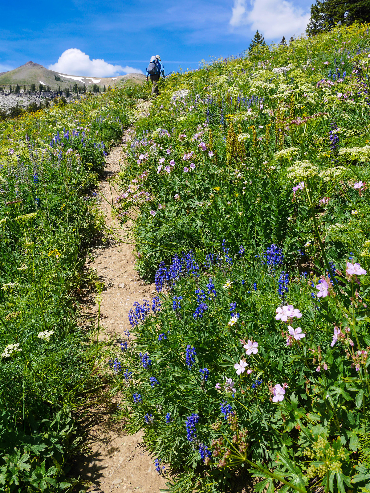
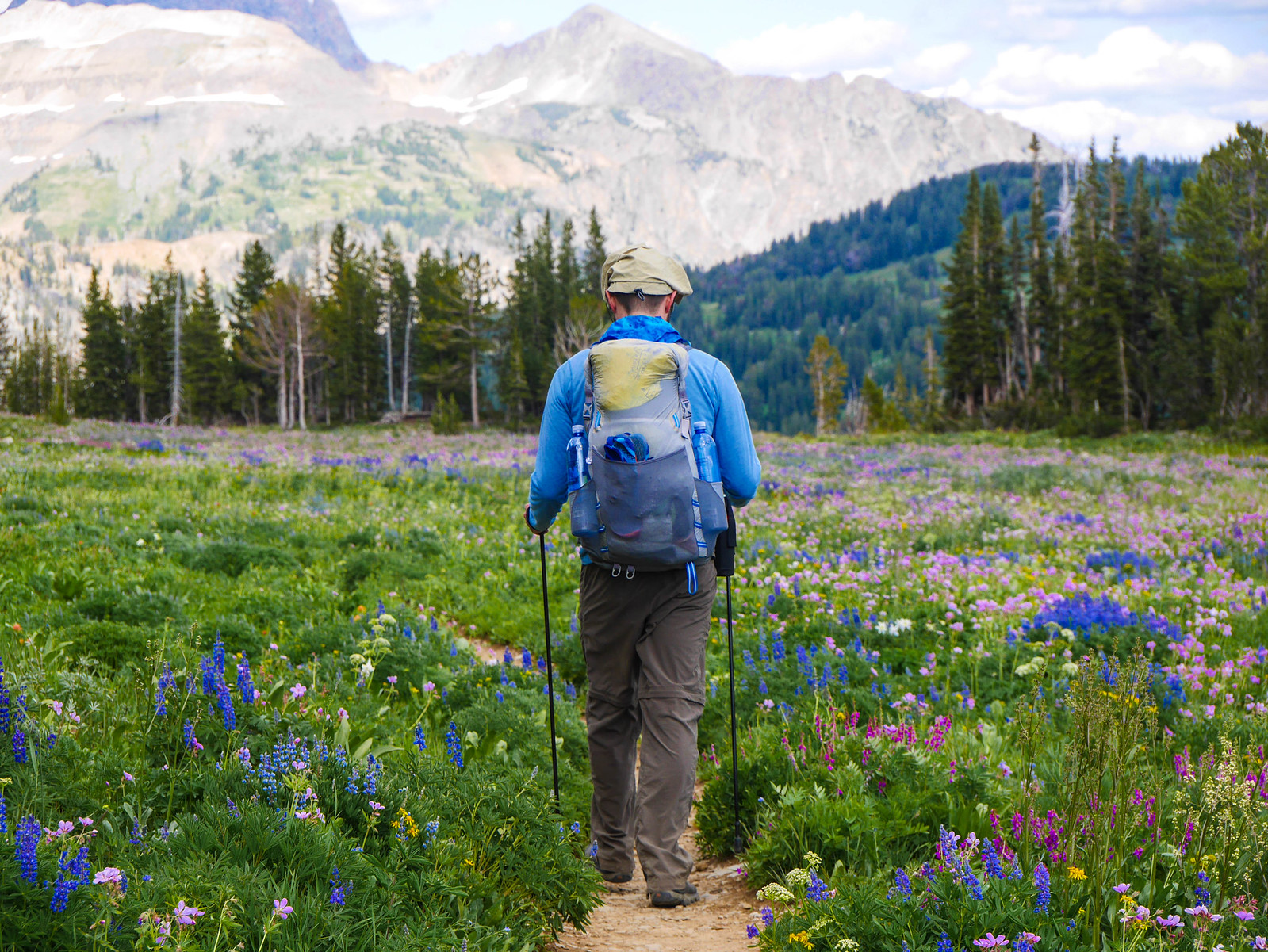
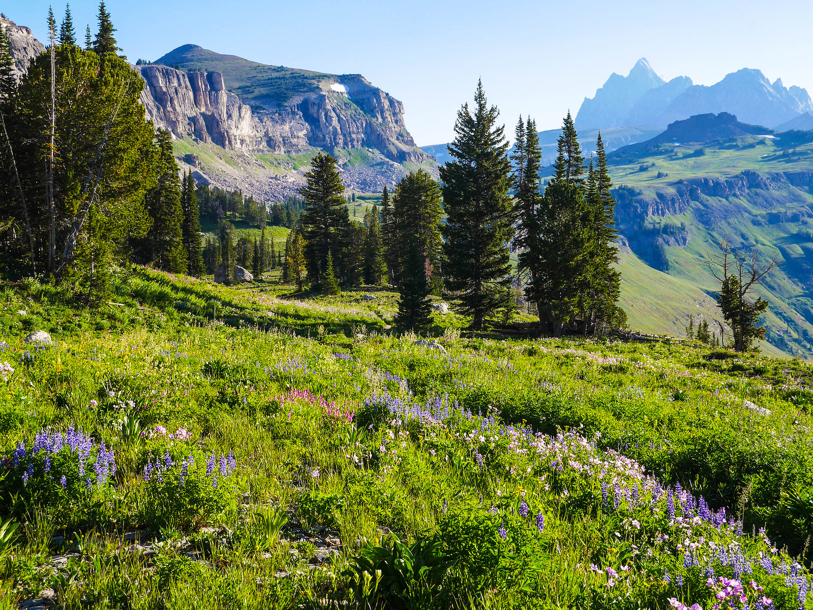
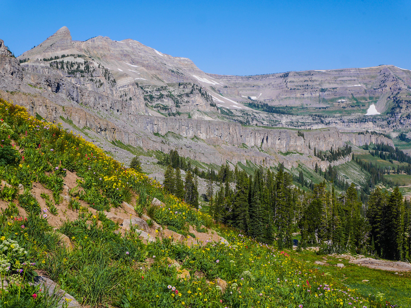
The trail first descended through some open forest before climbing a small shoulder that gave us our first glimpse at the wildflower bonanza we were in for.
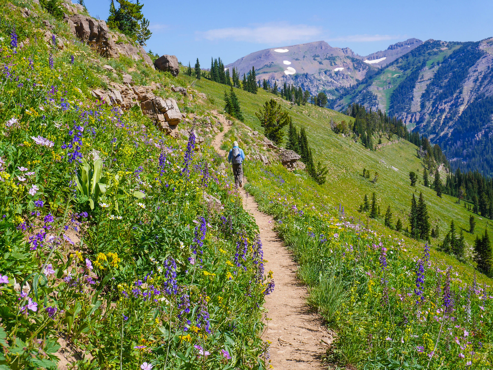
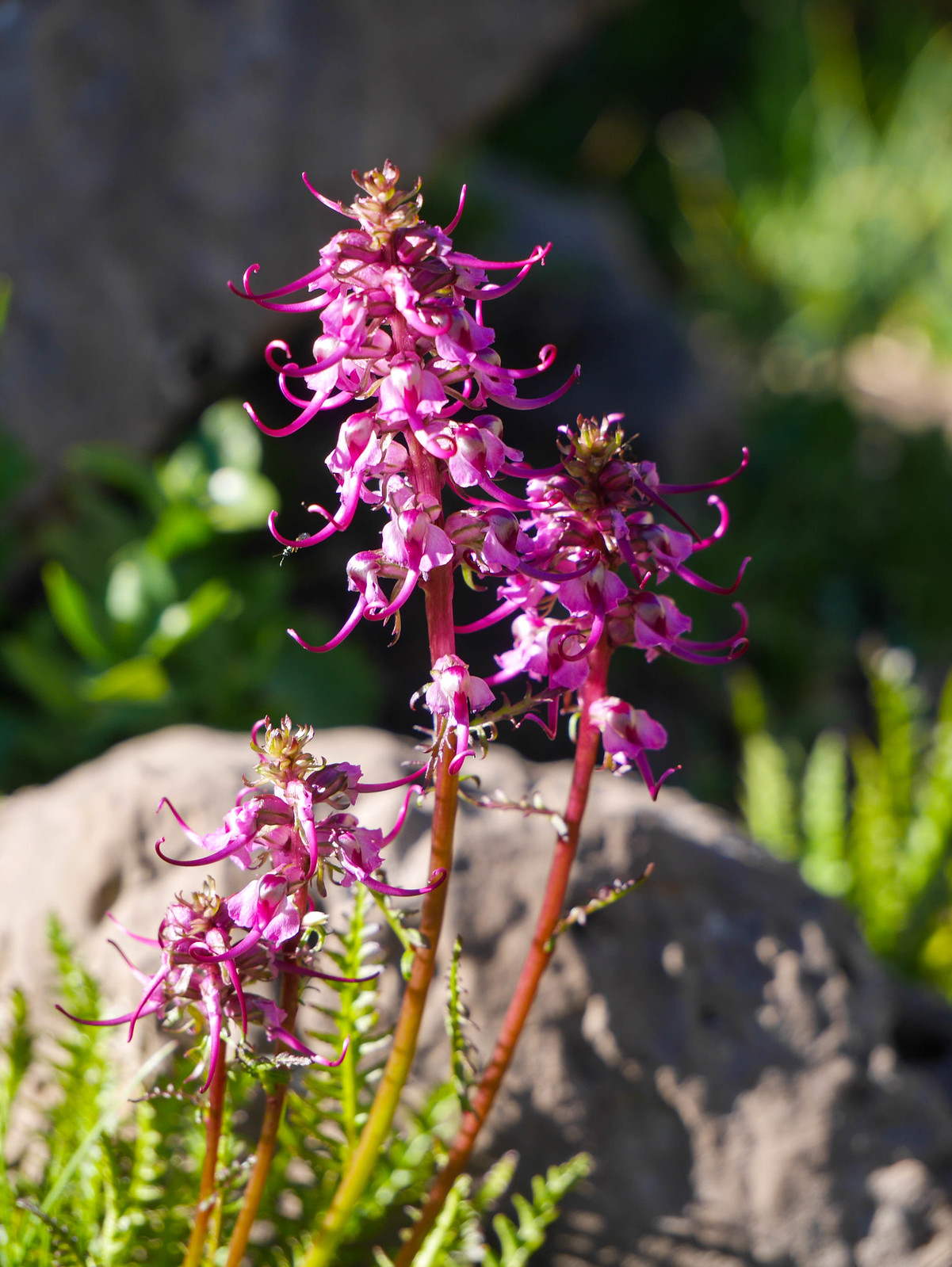
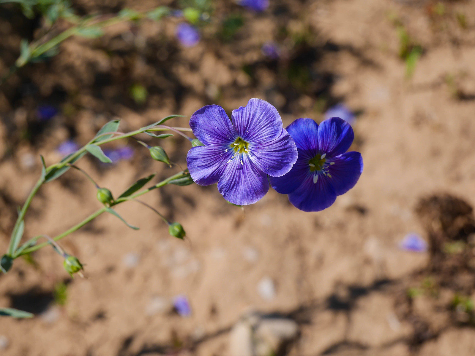
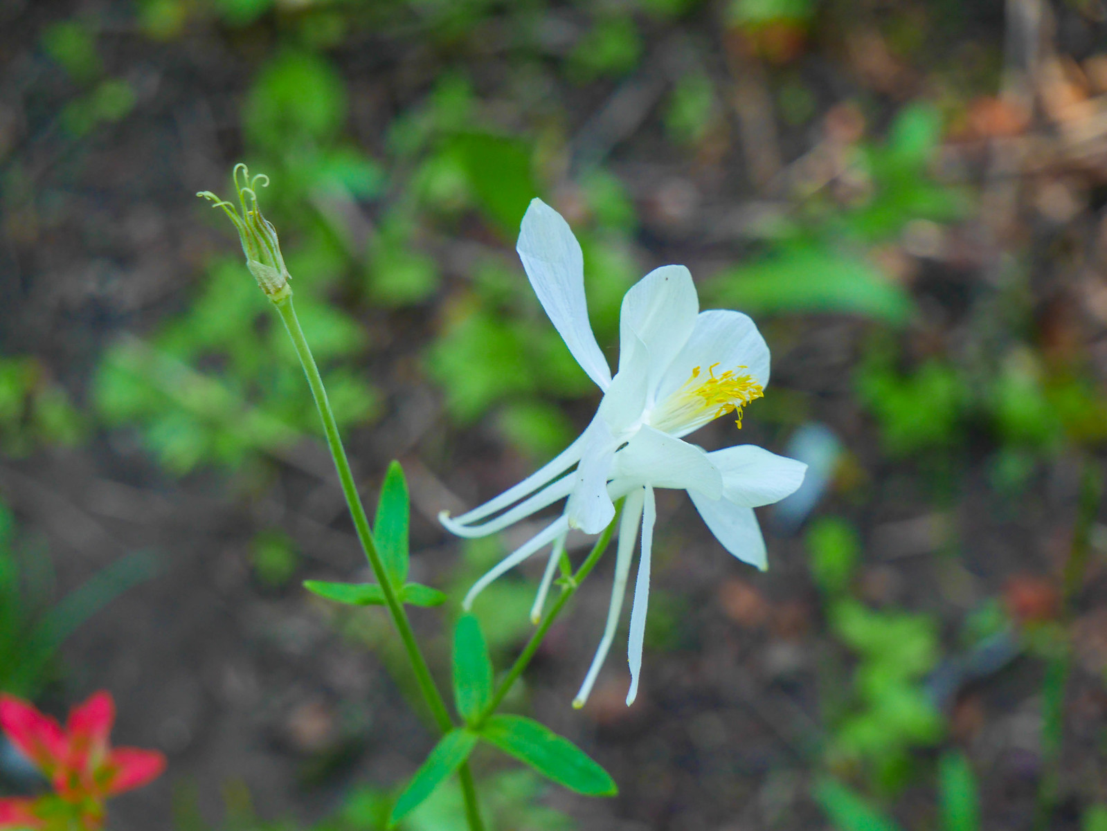
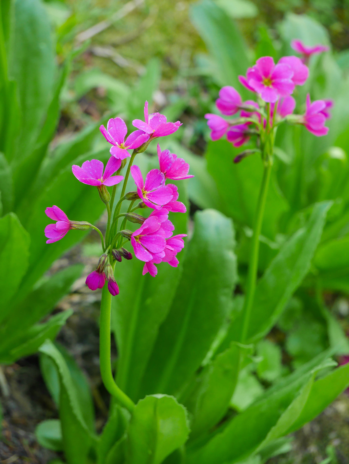
We hiked through fields of elephant's head, aster, flax, columbine, lupine, false sunflowers, paintbrush, and more.
 [/url]
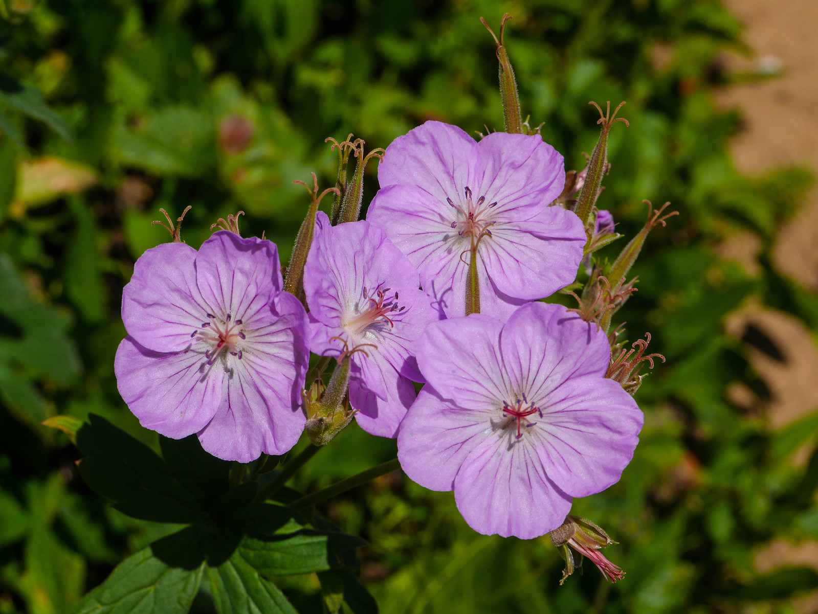
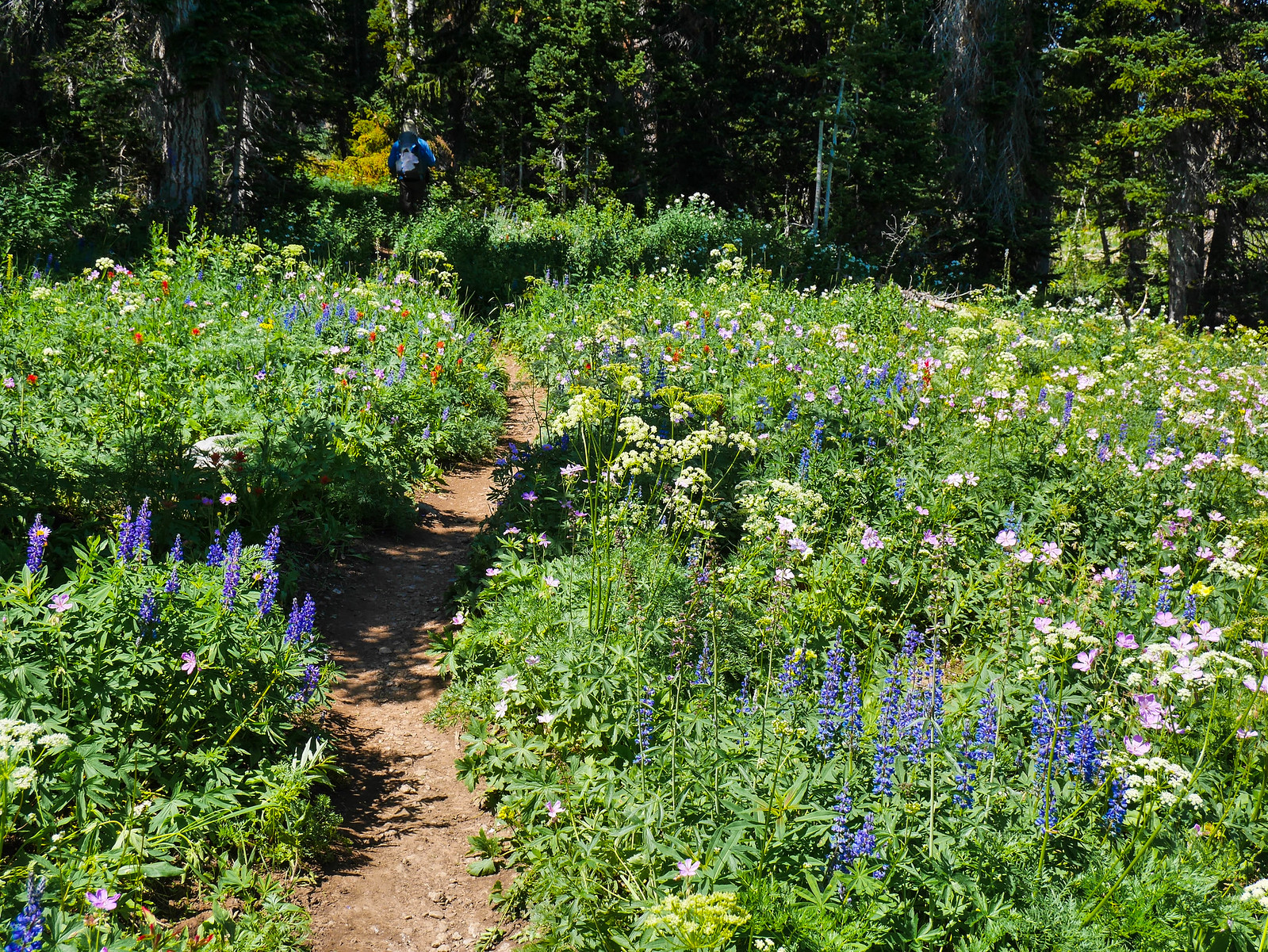
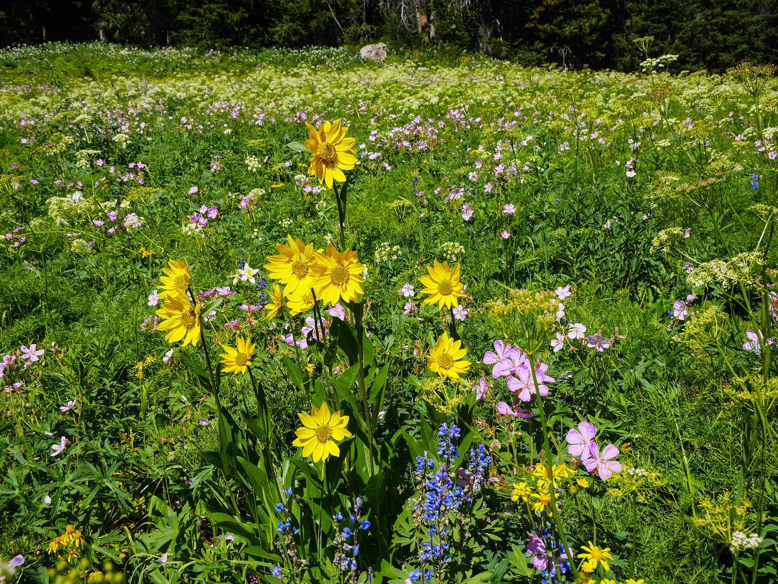
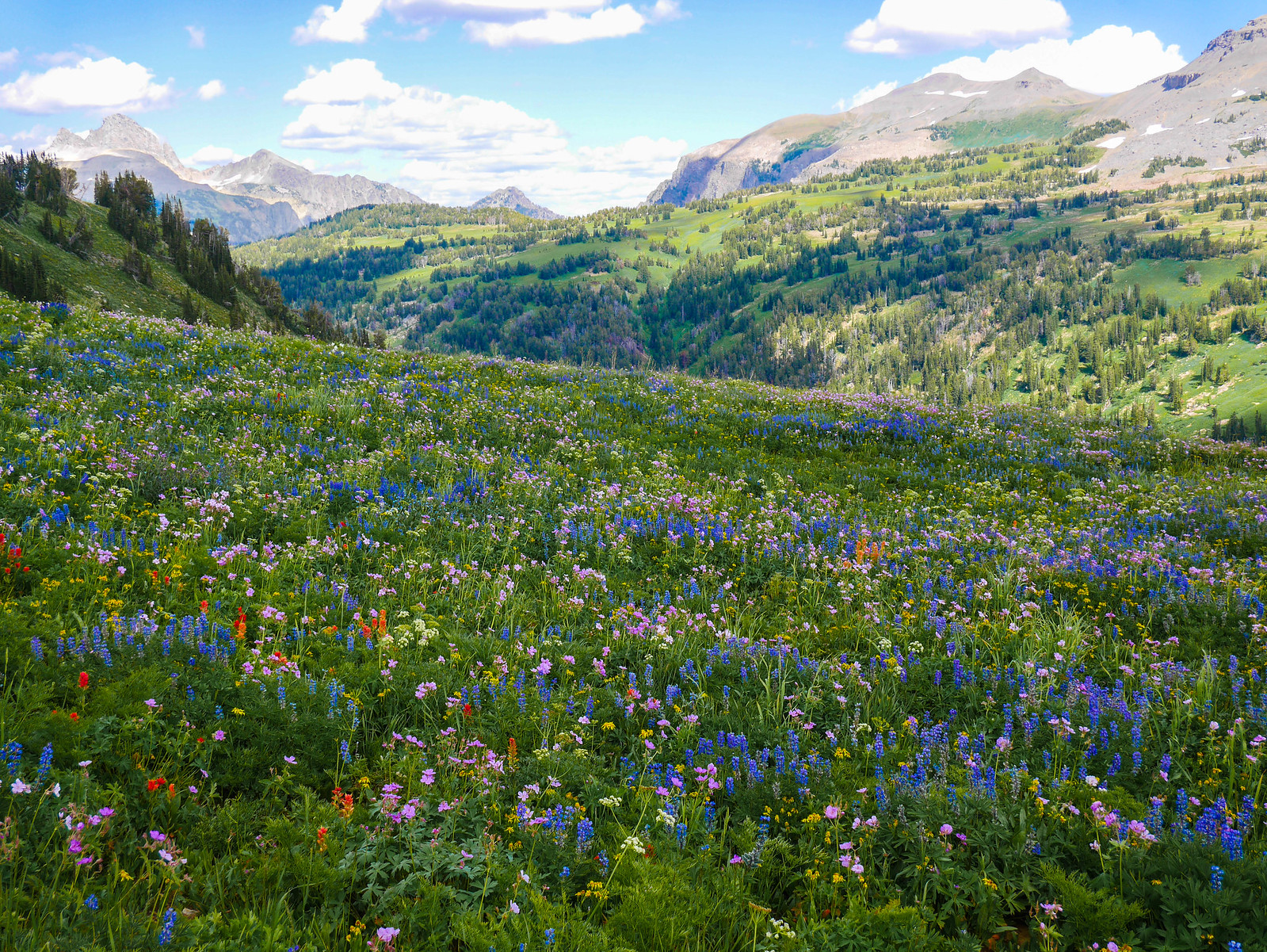
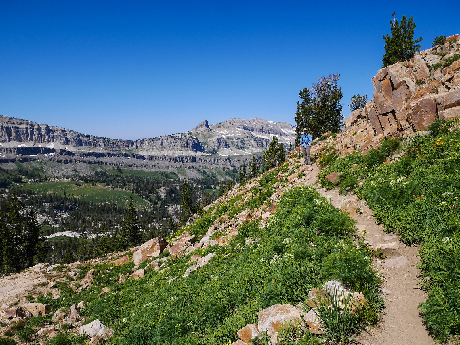
We descended and then ascended another valley on our way to Marion Lake, wildflowers getting more and more impressive along the way. There are so many photos here of Jesse walking down the trail amidst wildflowers, Jesse turning around waiting for me to catch up (amidst wildflowers), Jesse disappeared from the photo because I took so long to photograph wildflowers.
 [/url]
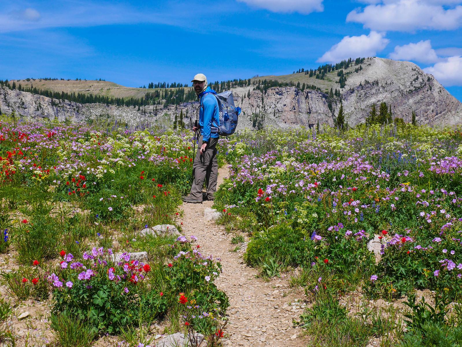 [/url]
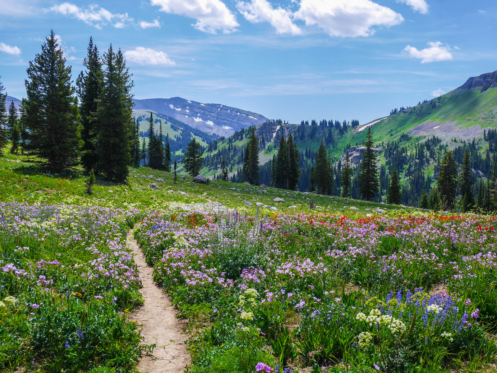
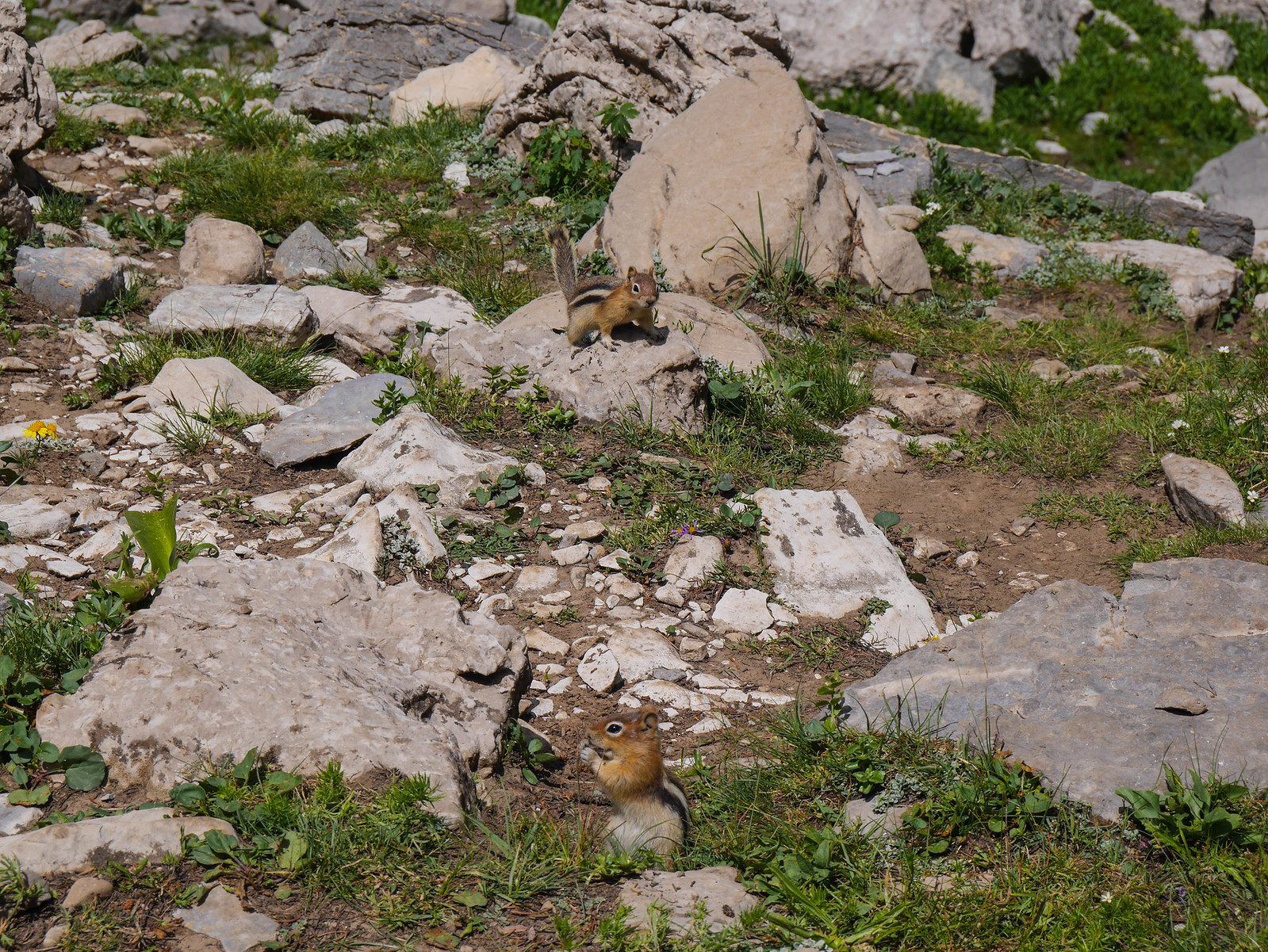
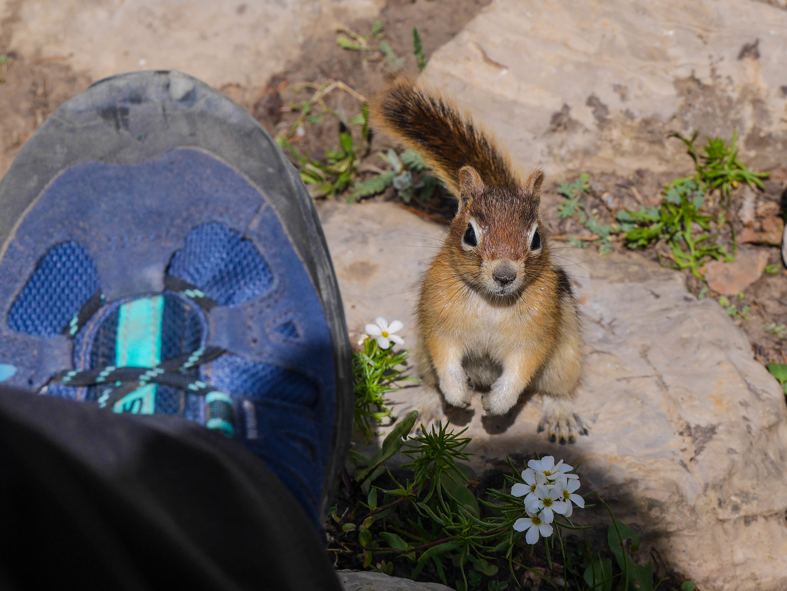
We took a break at Marion Lake and were accosted by several quite ambitious chipmunks. We also spotted a few pikas here, but I wasn't able to get any photos.
 [/url]
We chatted with one other group we met at Marion Lake, finished our snacks, and began climbing again up out of the drainage of the lake. Once again, the wildflowers did not disappoint.
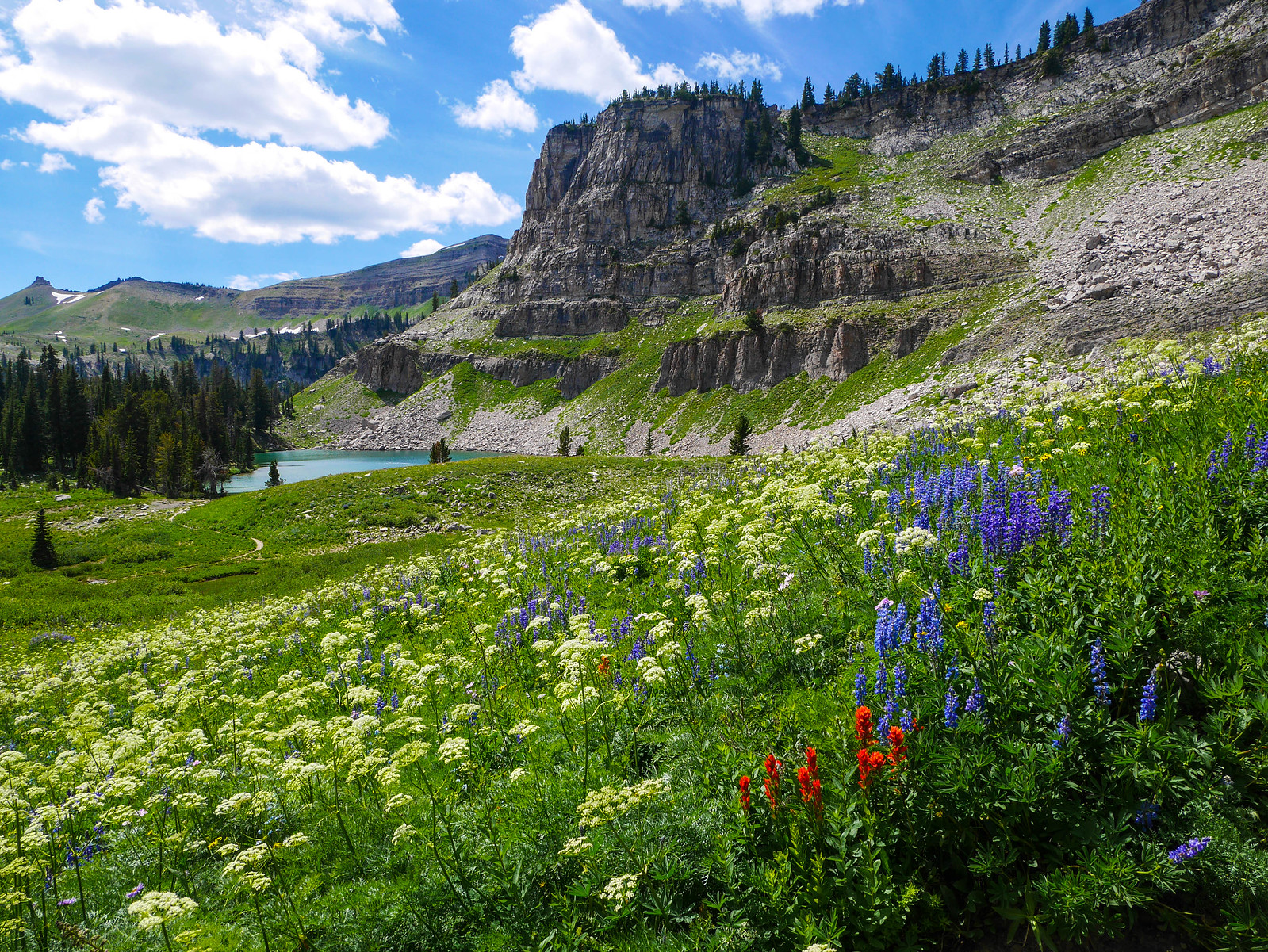
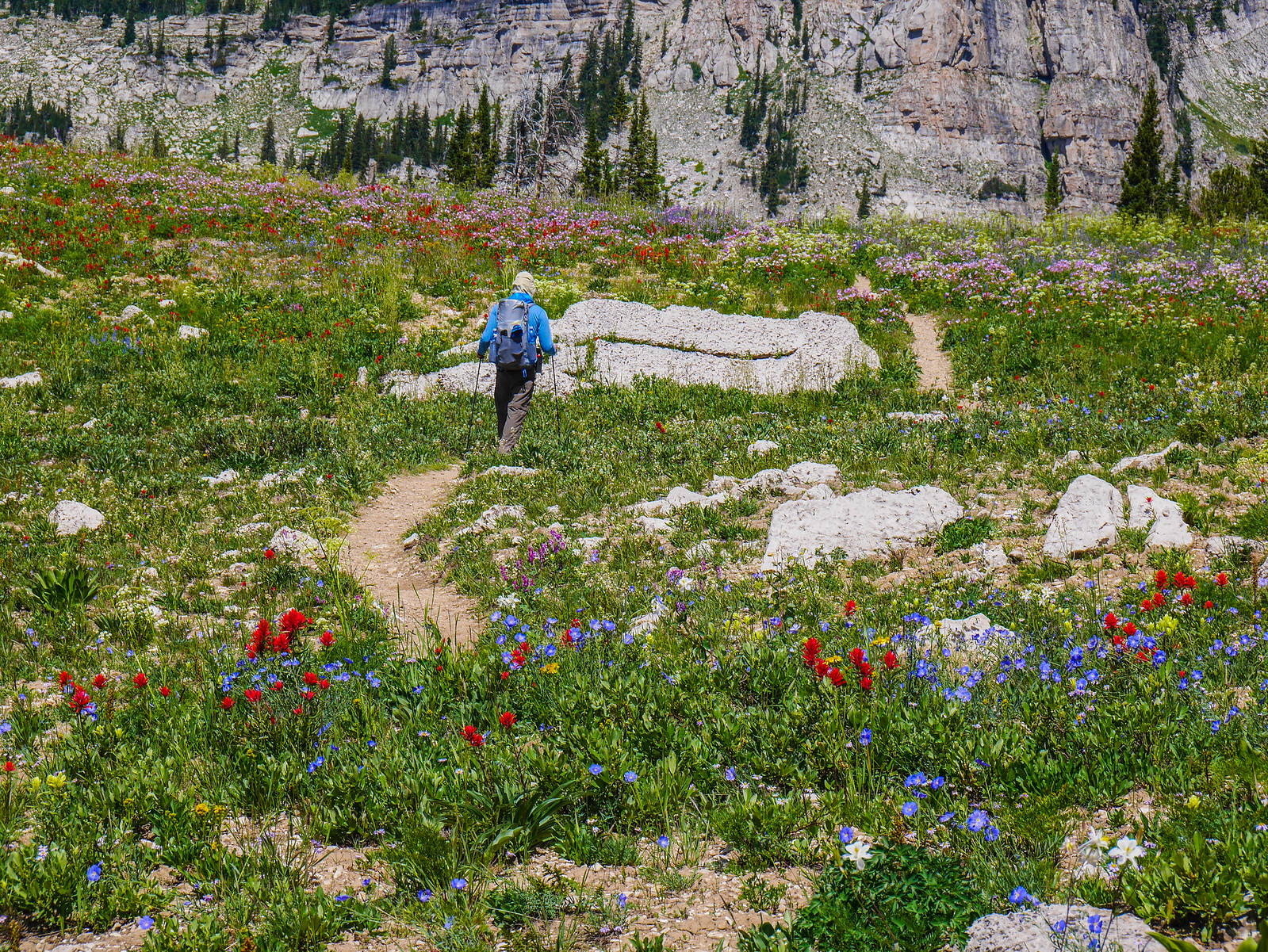
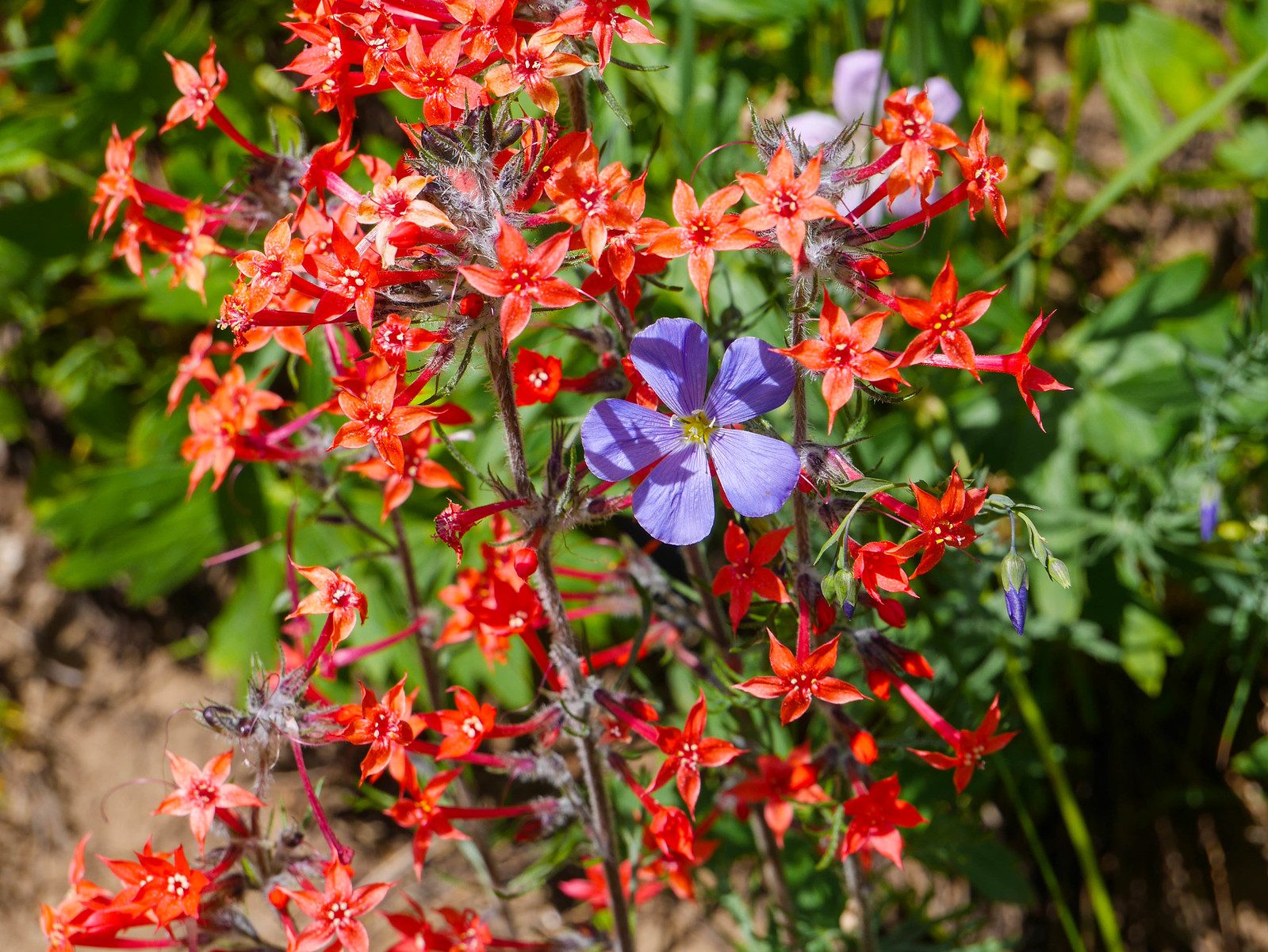
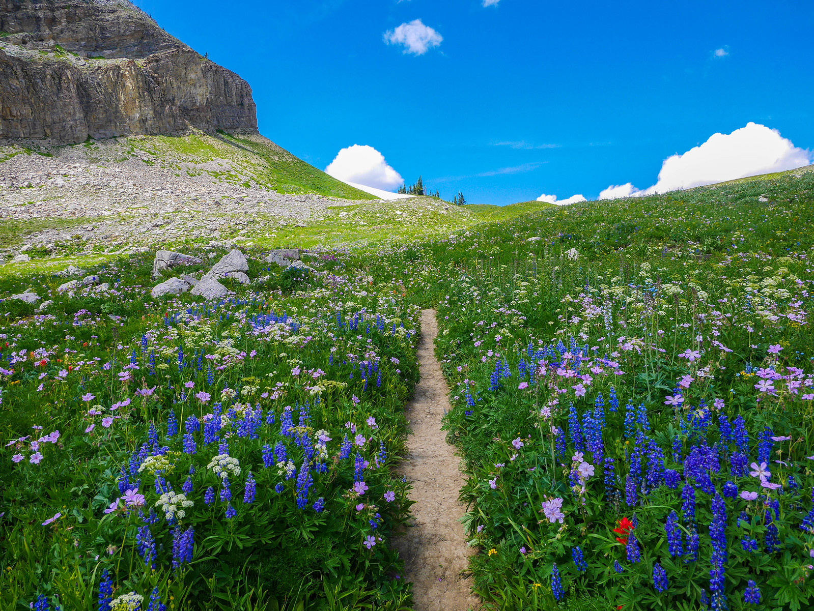
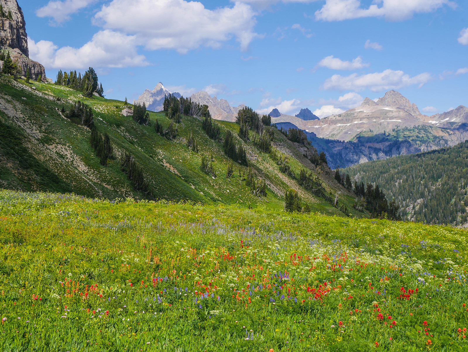
The hills were alive with the outrageous flower bloom as we ascended Fox Creek Pass and hopped over into Grand Teton National Park officially. I know I keep harping over and over on the wildflowers but like, come on, looooooooooooooook!
 [/url]
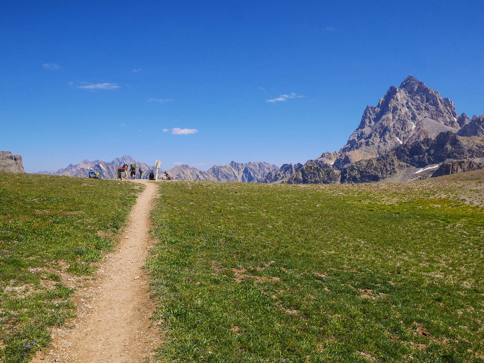
Just south of Fox Creek Pass, we got our first peek at Grand Teton.

Guess what happened next. You'll never guess.
...
.
..
Have you guessed yet? We hiked through more incredible fields of wildflowers!
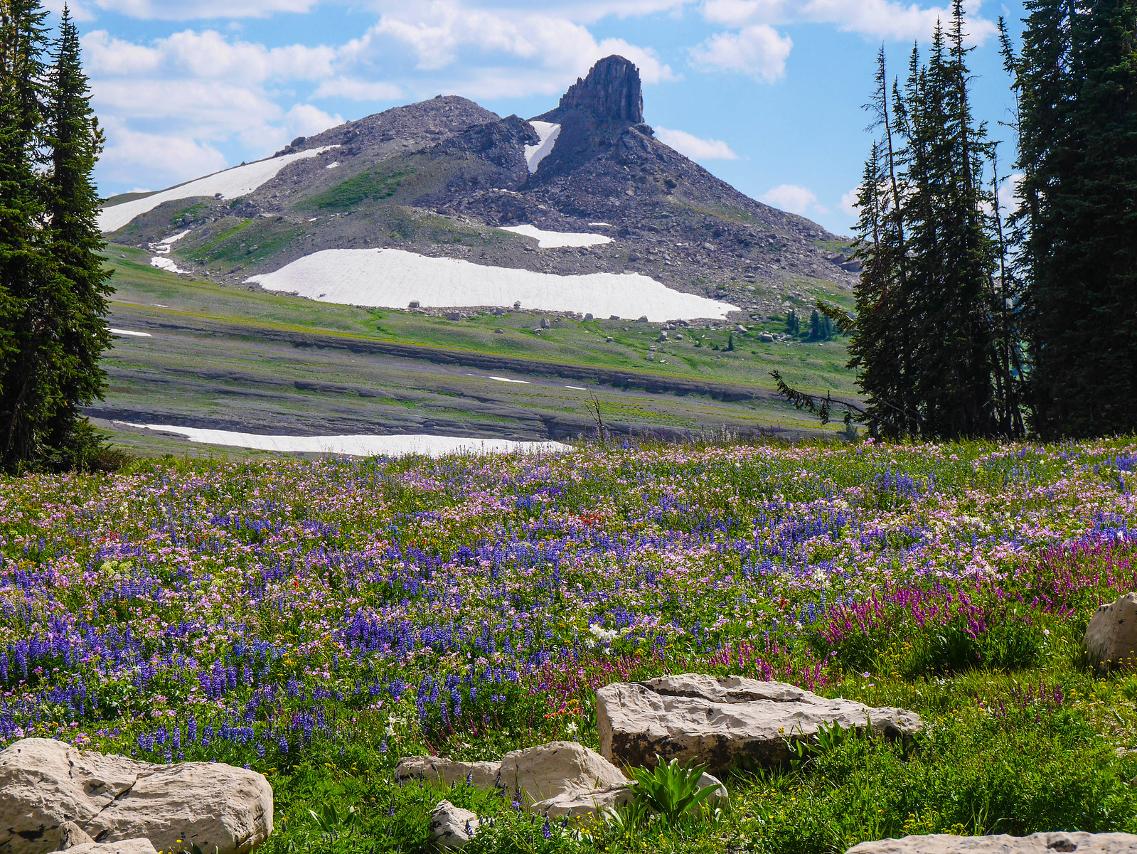
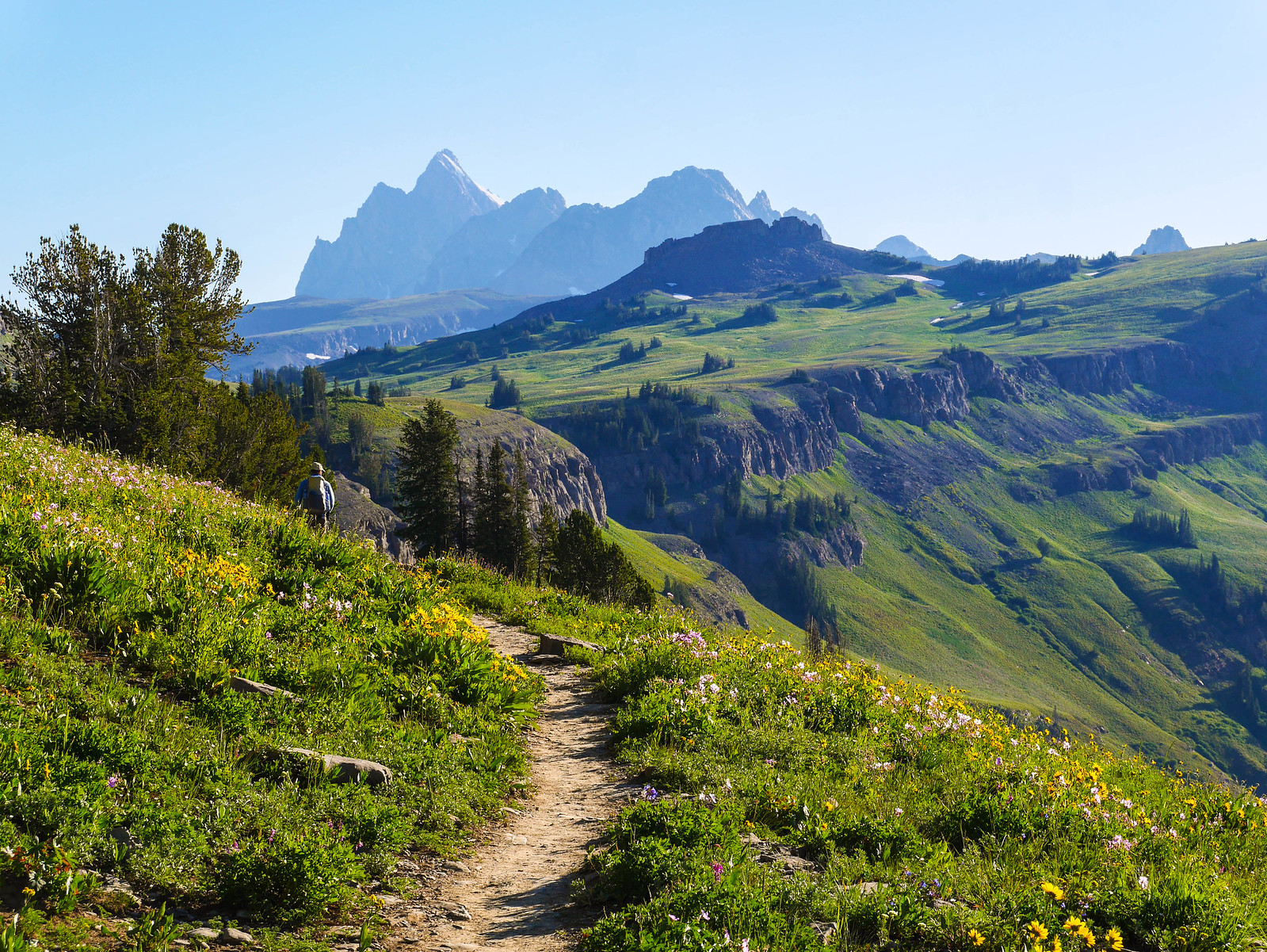
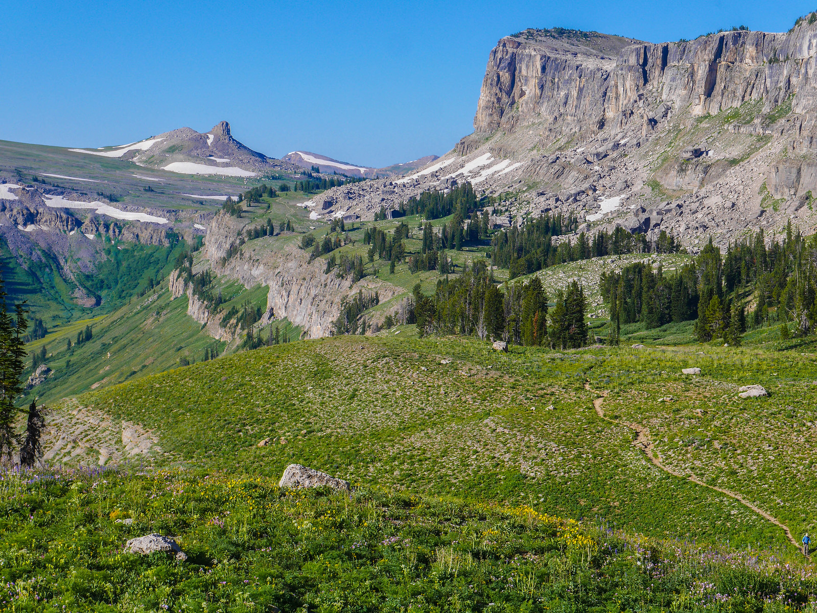
After climbing the mild ascent over Fox Creek Pass, we rounded a corner and saw the beginnings of Death Canyon Shelf, which we'd be camping on this night.
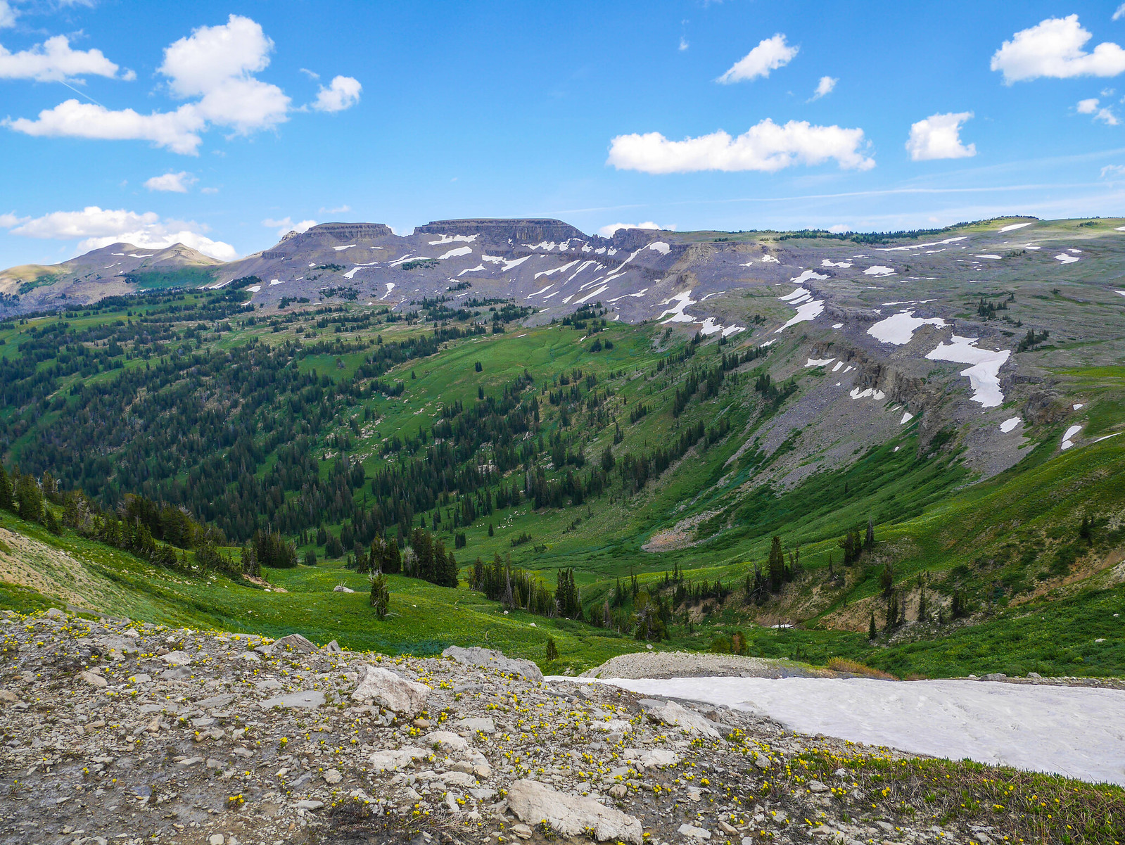
Looking eastish instead of northish gave us a view of the headlands of Death Canyon.
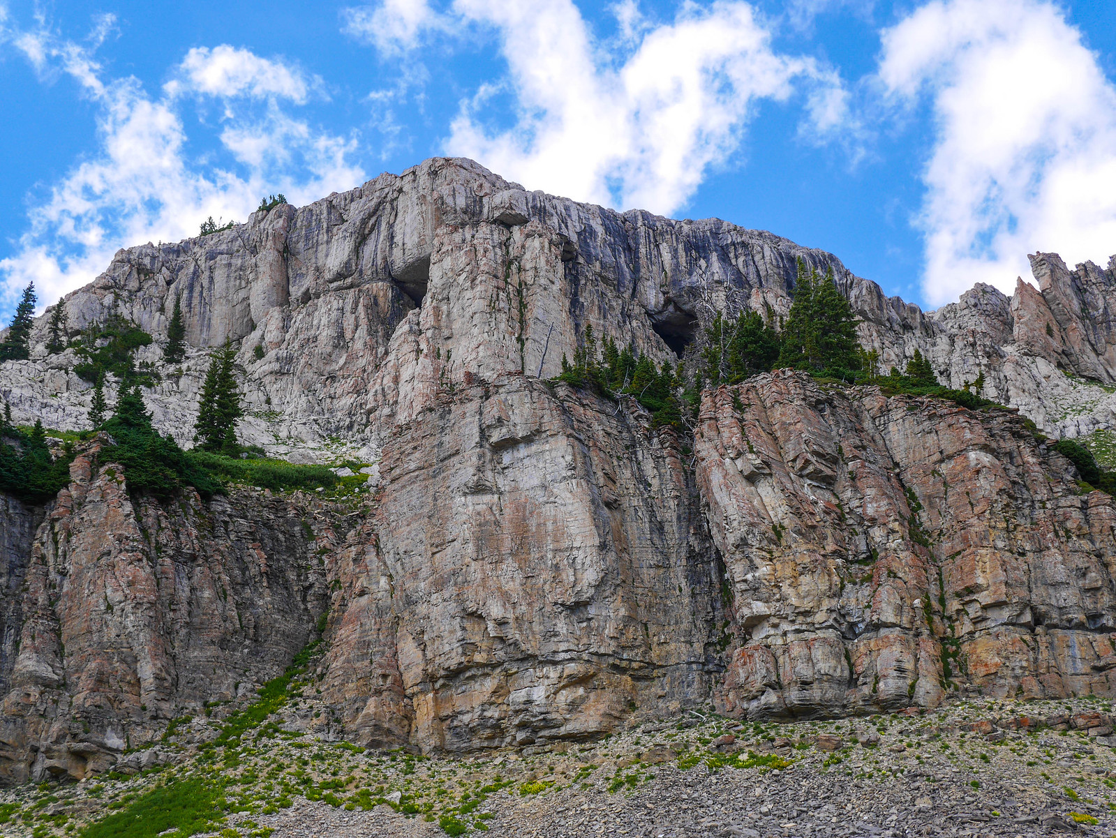
And just before climbing up onto Death Canyon Shelf proper, we spotted these caves in the cliffs near the pass.
We continued hiking through similarly gorgeous scenery. I mean really why am I writing words when you can just look at these photos?
 [/url]
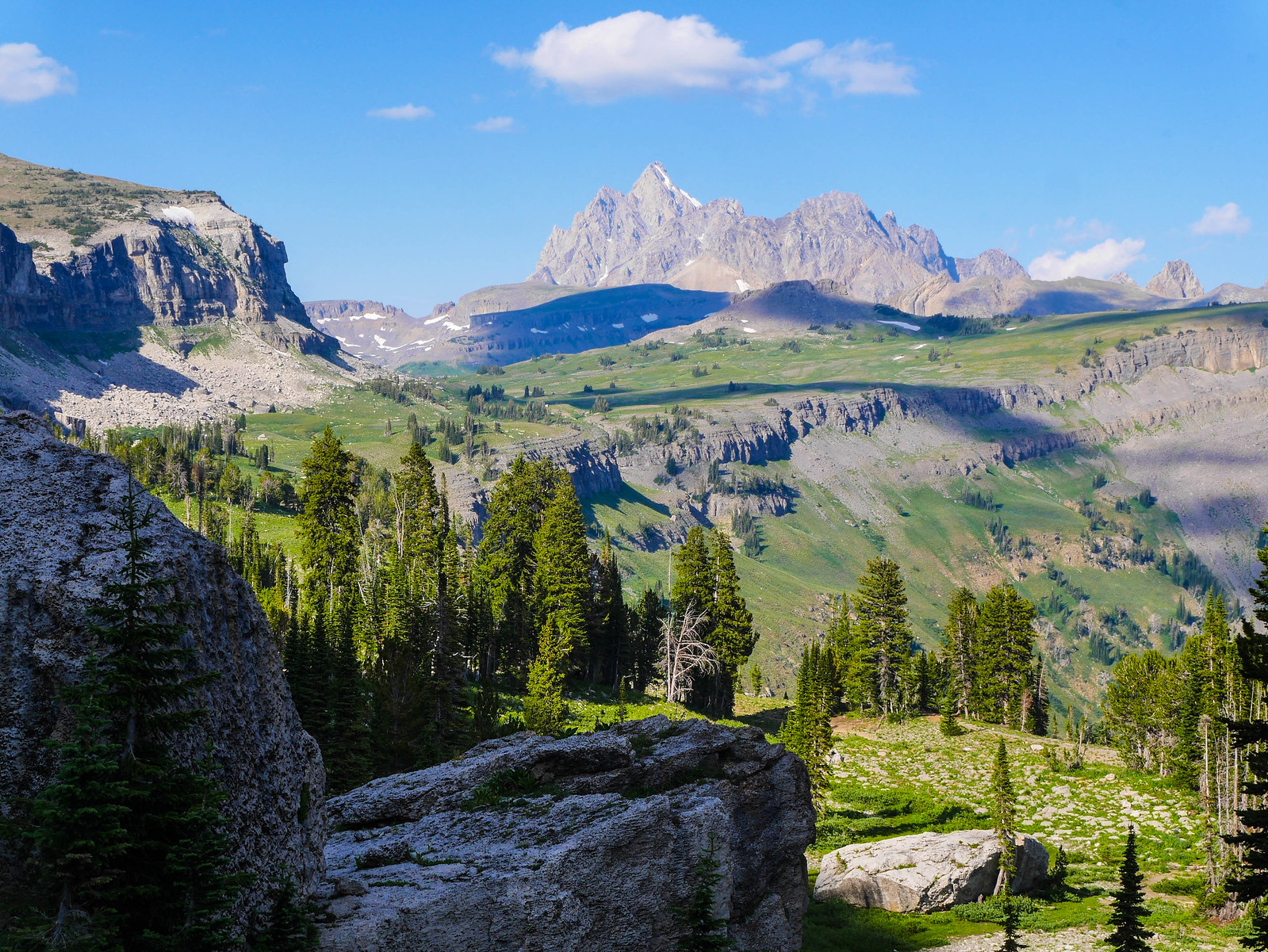
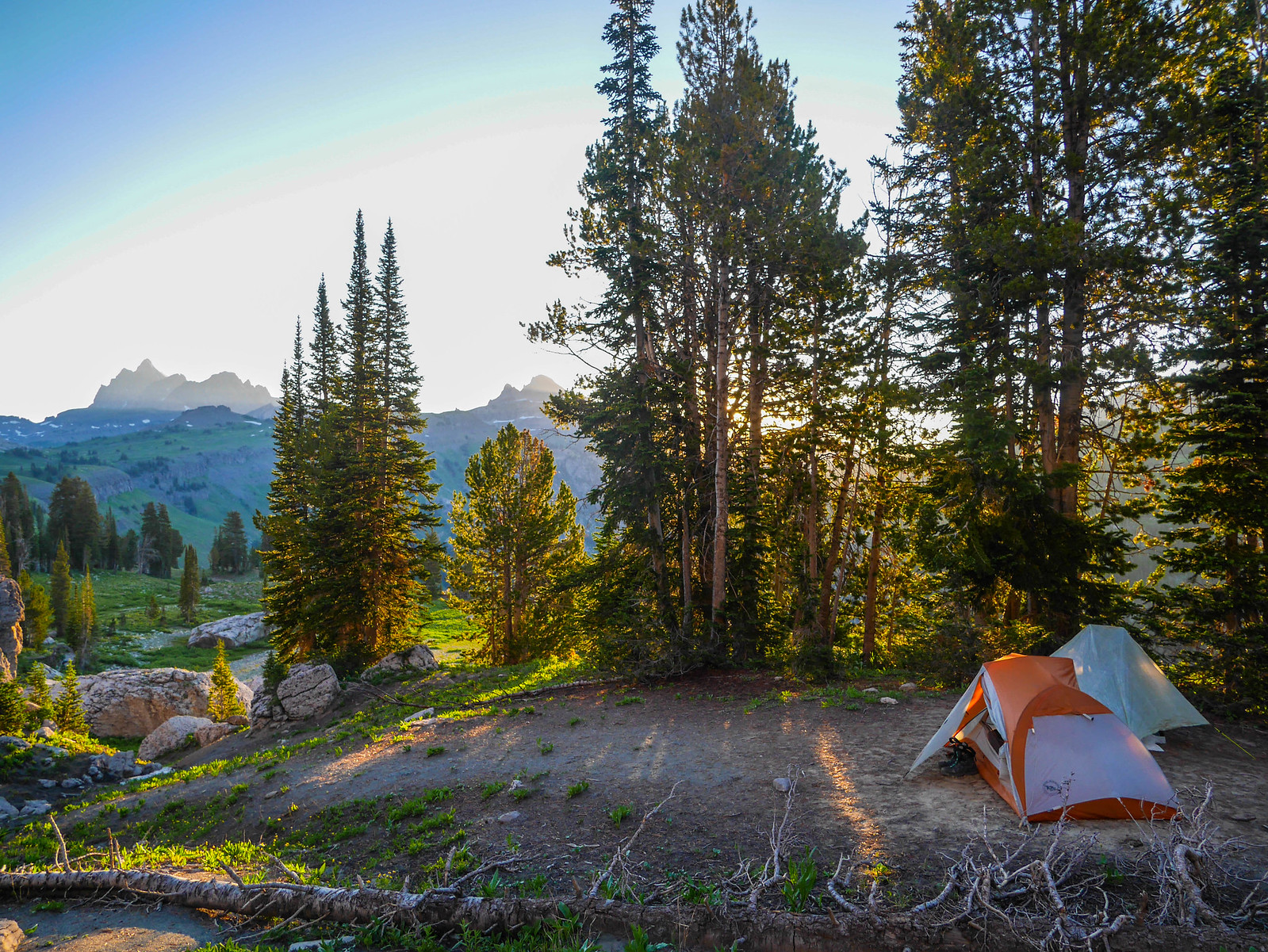
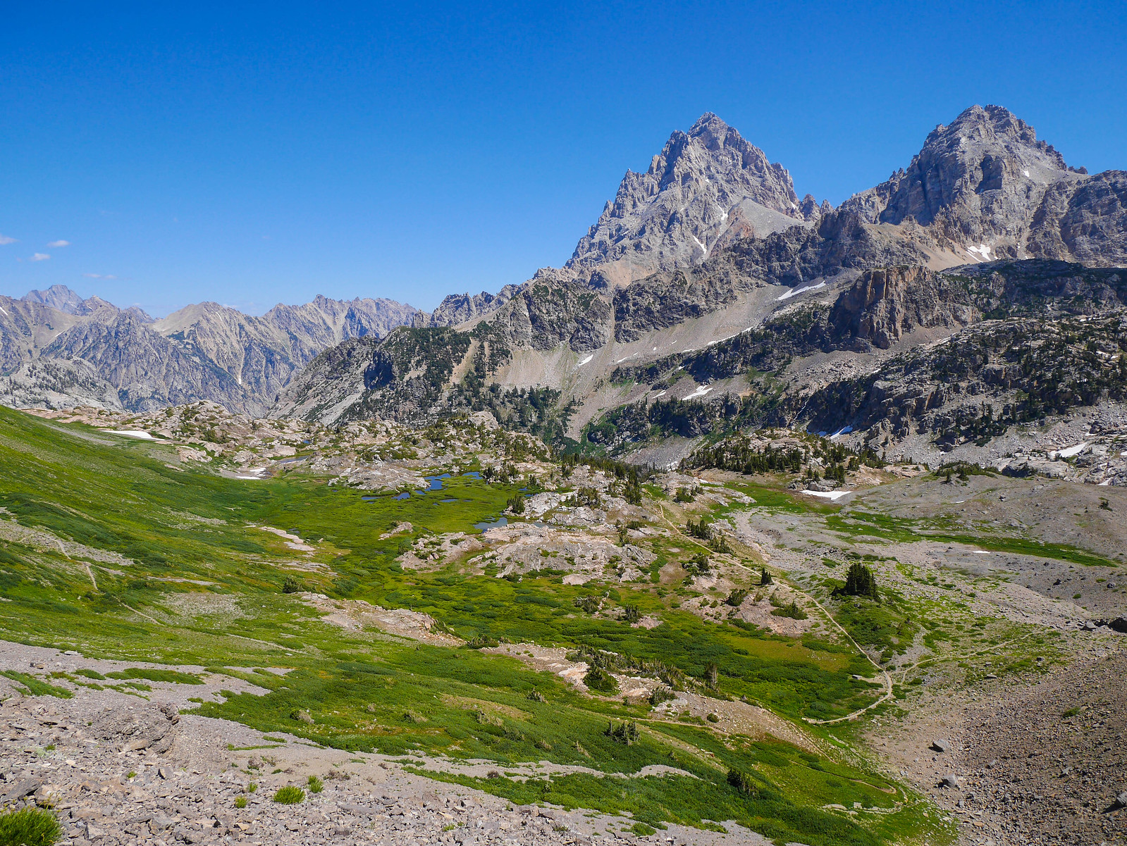
We ascended a rise and were greeted with a truly magical view towards the Tetons and Death Canyon Shelf. We stopped for a minute to contemplate where along the shelf we wanted to camp. We decided to go on beyond where the trail descends and then ascends again, hoping to find a spot on the narrow part of the shelf close to the northern end of the cliffs.
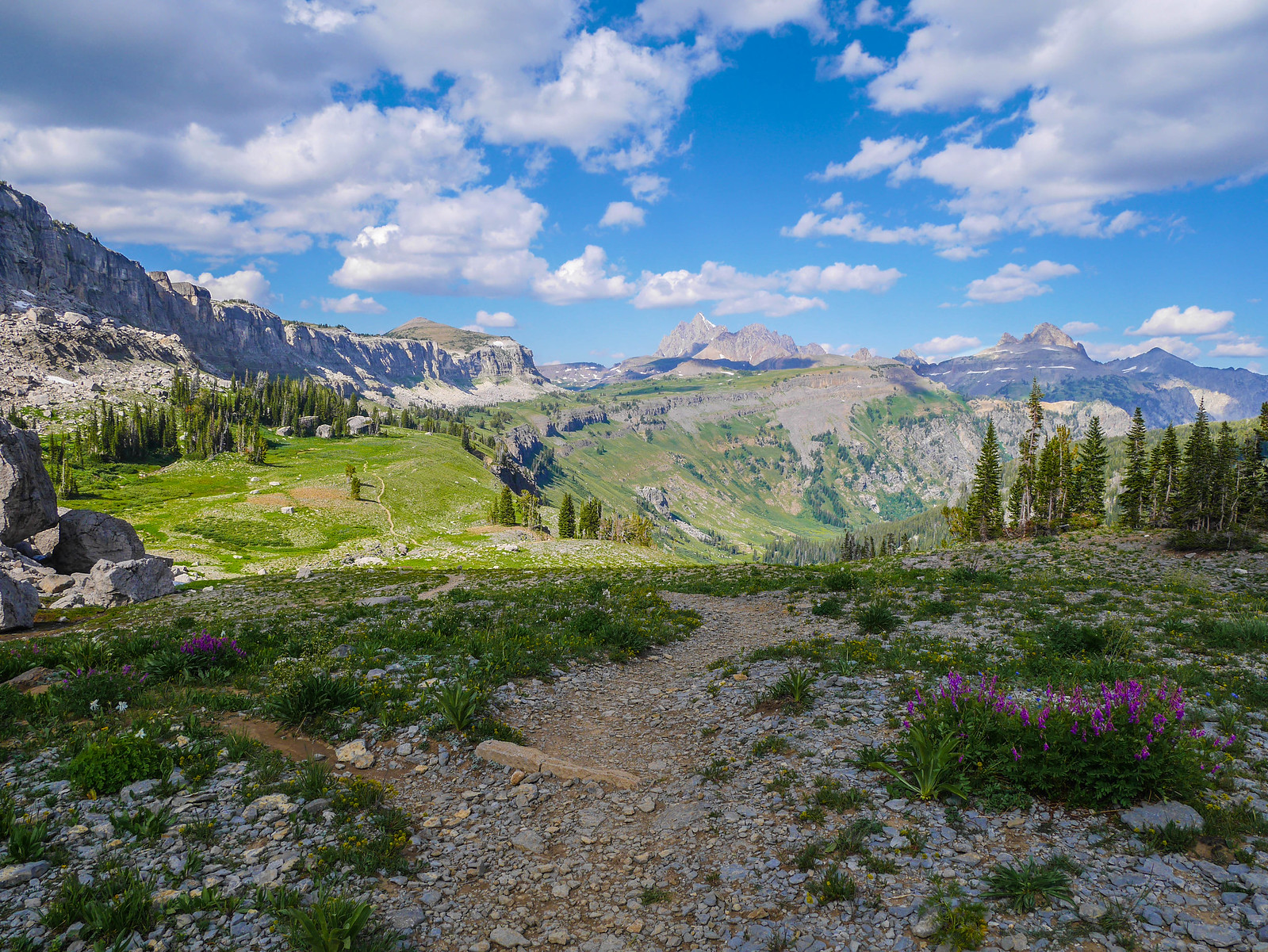
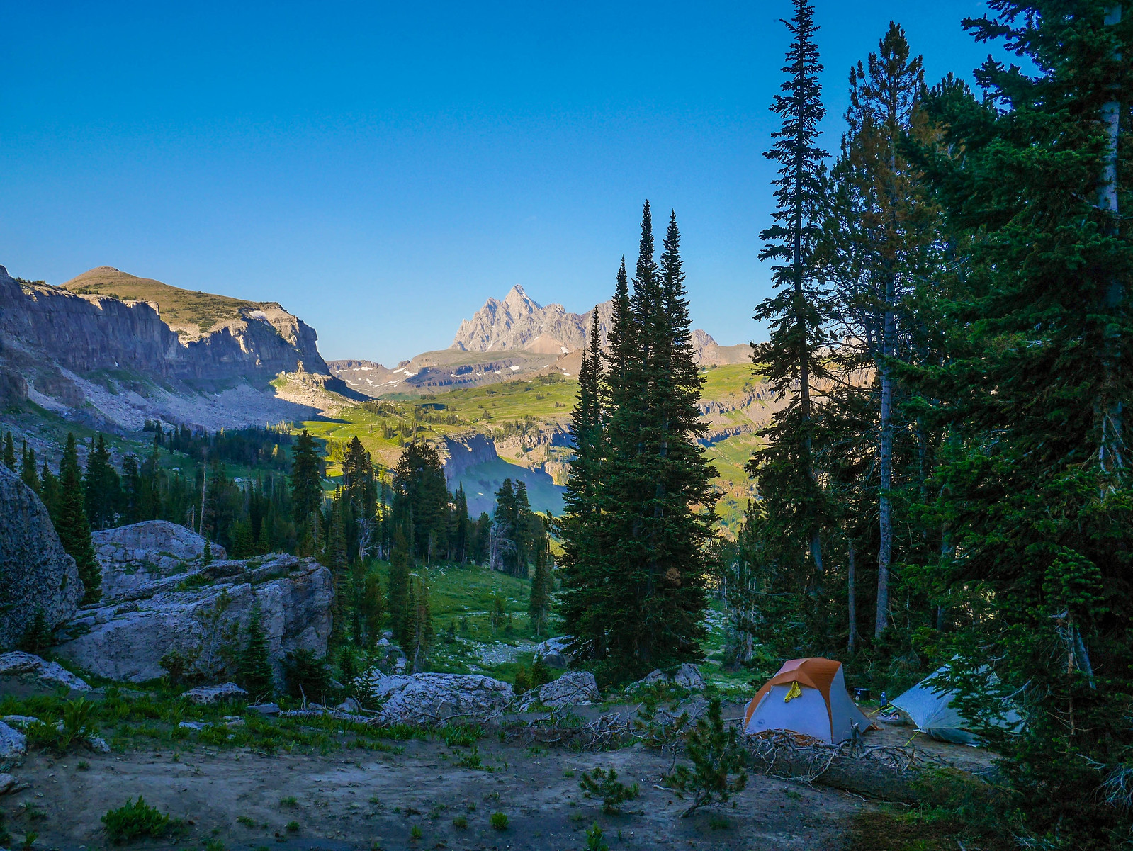
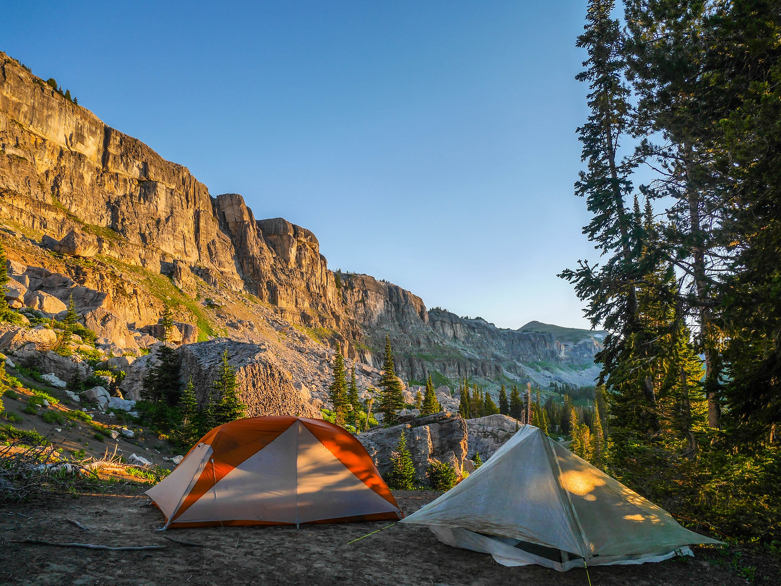
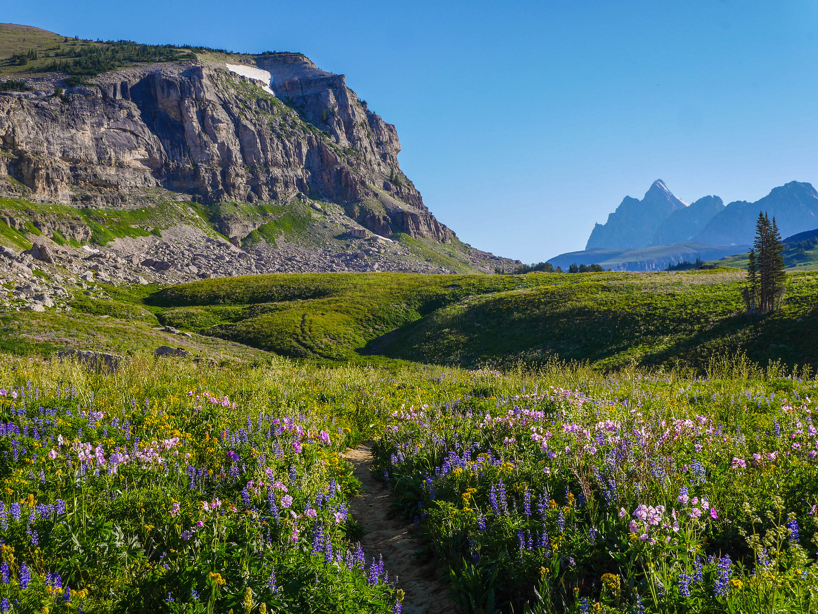
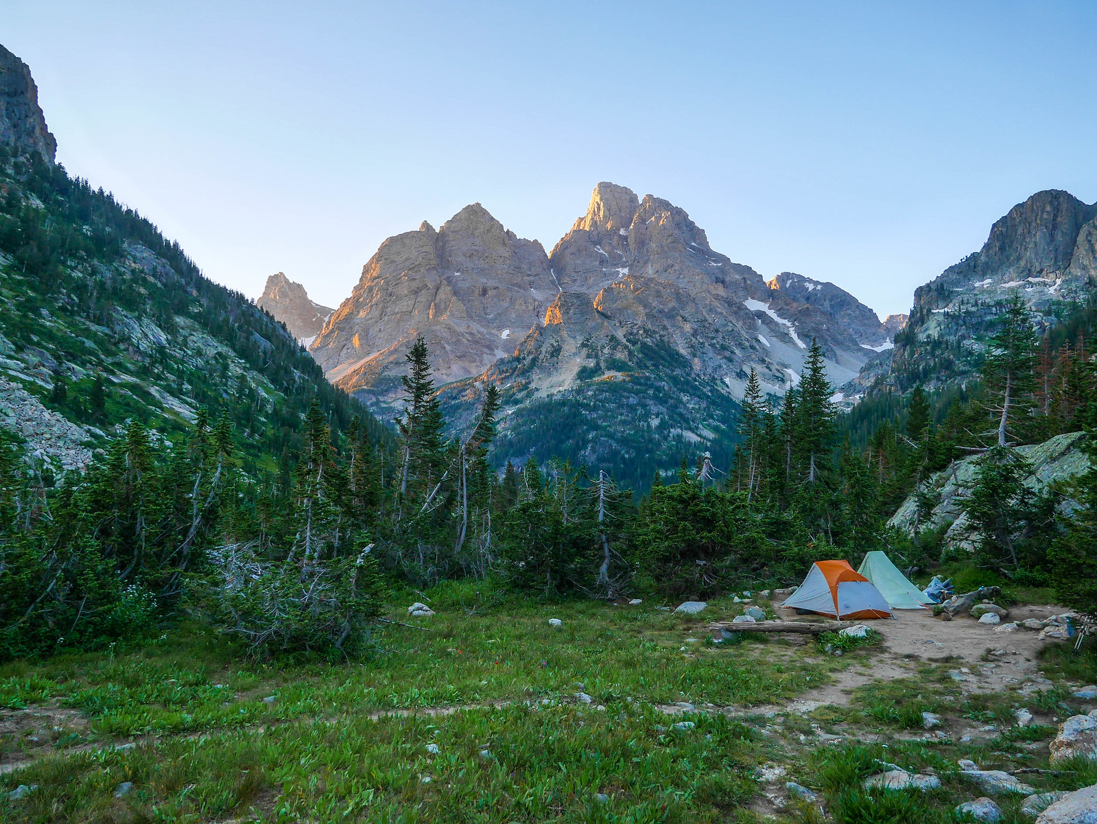
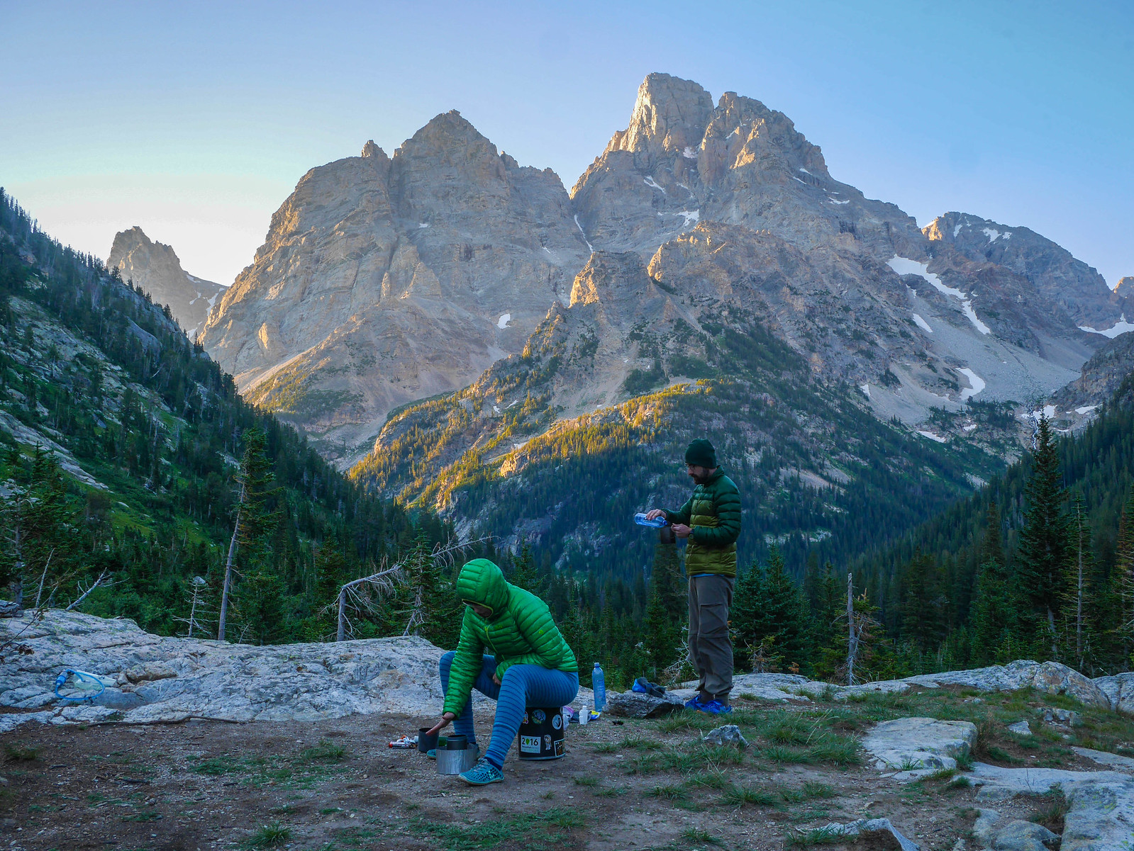
After hunting around a bit, we finally clambered up the rise to our south a few dozen feet until we found a flat spot out of sight of the trail but with this view of Grand Teton.
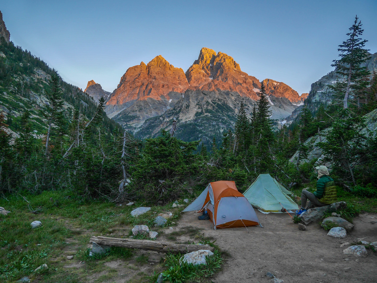
We set up our tents, made dinner, and then enjoyed the alpenglow on the Teton crest before tucking in to bed.
Day 2
Death Canyon Shelf to North Fork Cascade Creek
12.5 miles, +2,500ft/-3,600ft
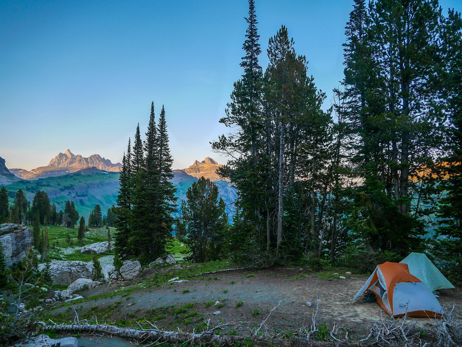
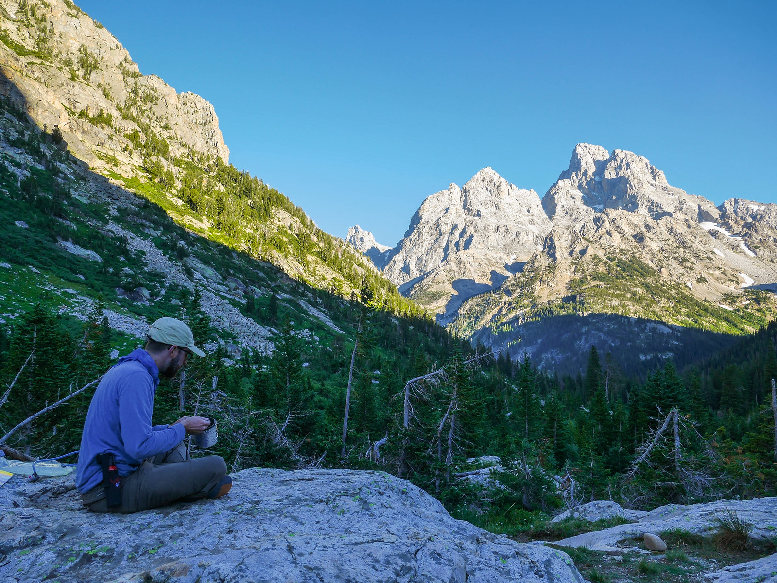
I awoke just before sunrise to putter around camp and enjoy the early morning light as it peeked over the Teton crest just east of us. I can't believe what an idyllic view we had while trying to warm our chilly bodies with oatmeal and instant coffee.
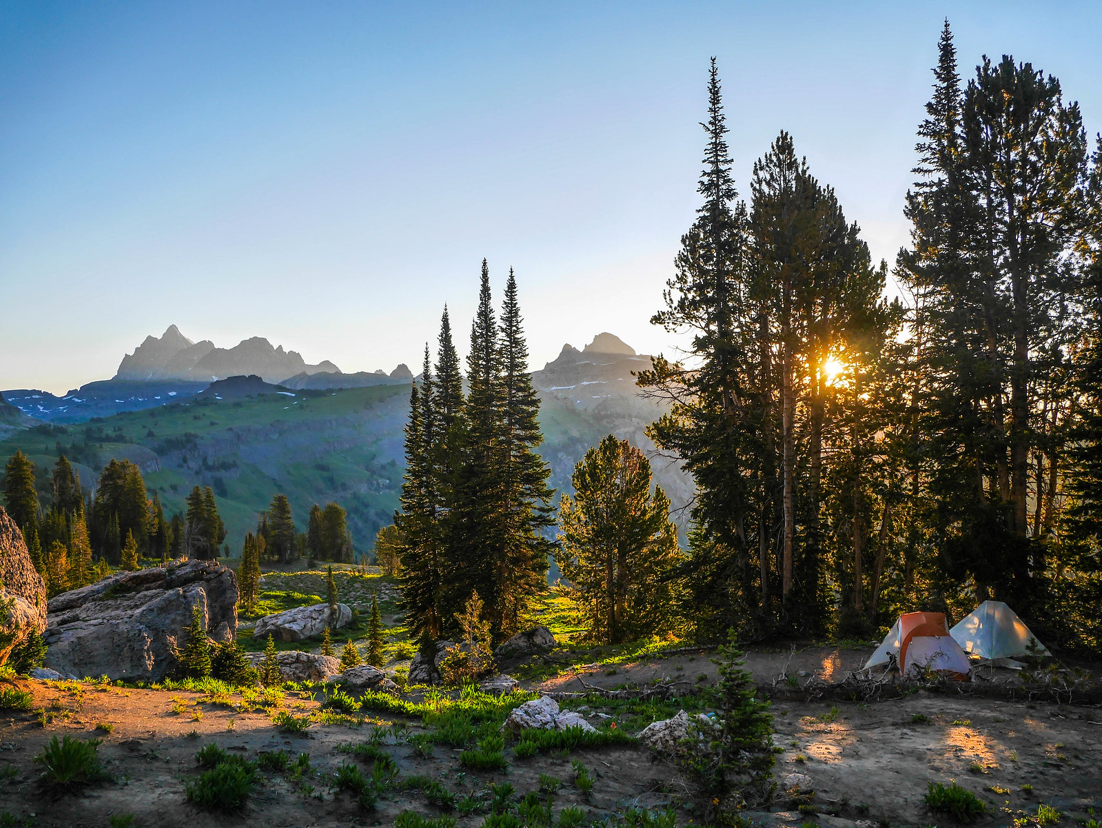
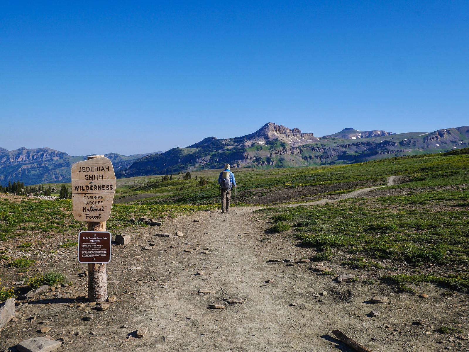
After breakfast we broke camp and made our way back to the trail. We're careful cross country hikers, so when we leave the trail (or return to it), we might look just a little bit ridiculous trying to ensure we only step on durable surfaces and don't crush any wildflowers. Leave No Trace on the landscape, Leave Ridiculous Trace on the internet.
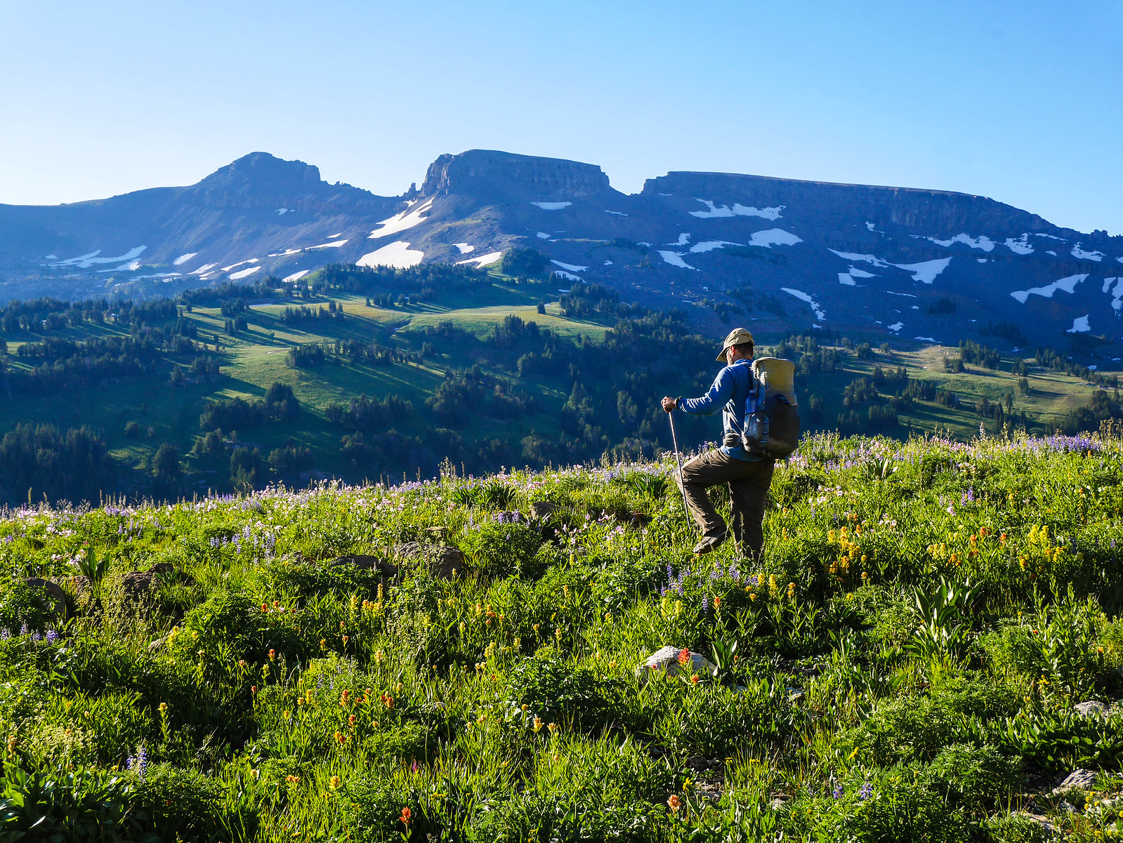
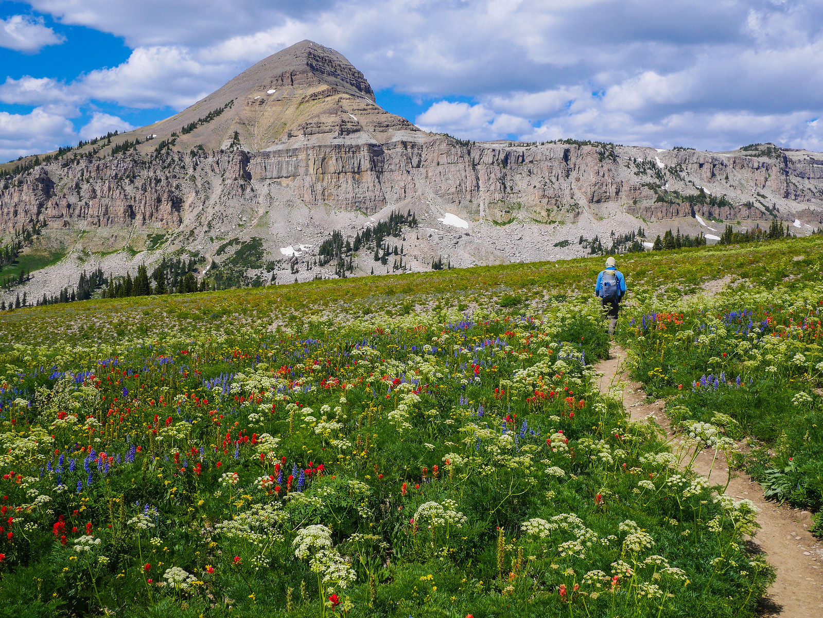
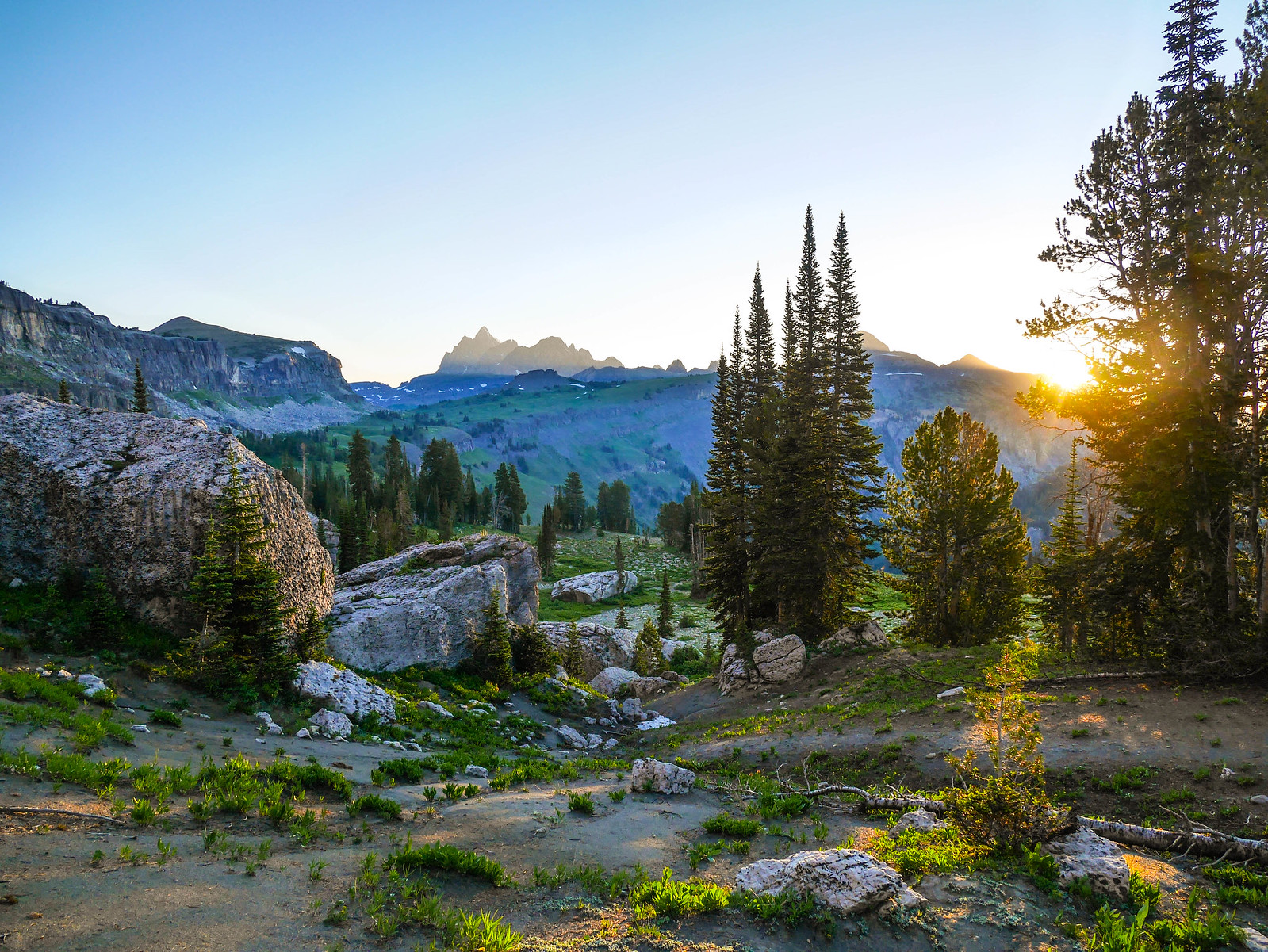
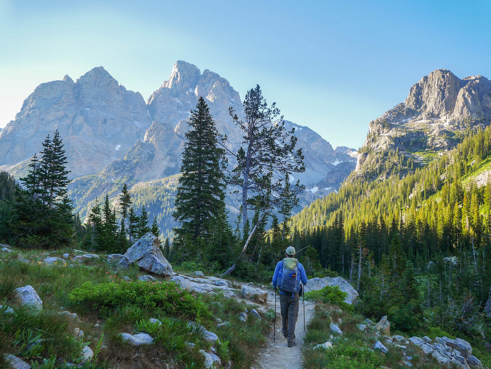
Our first goal was to head north to ascend Meek's Pass, which you can't see here but it's just behind the trees center frame.
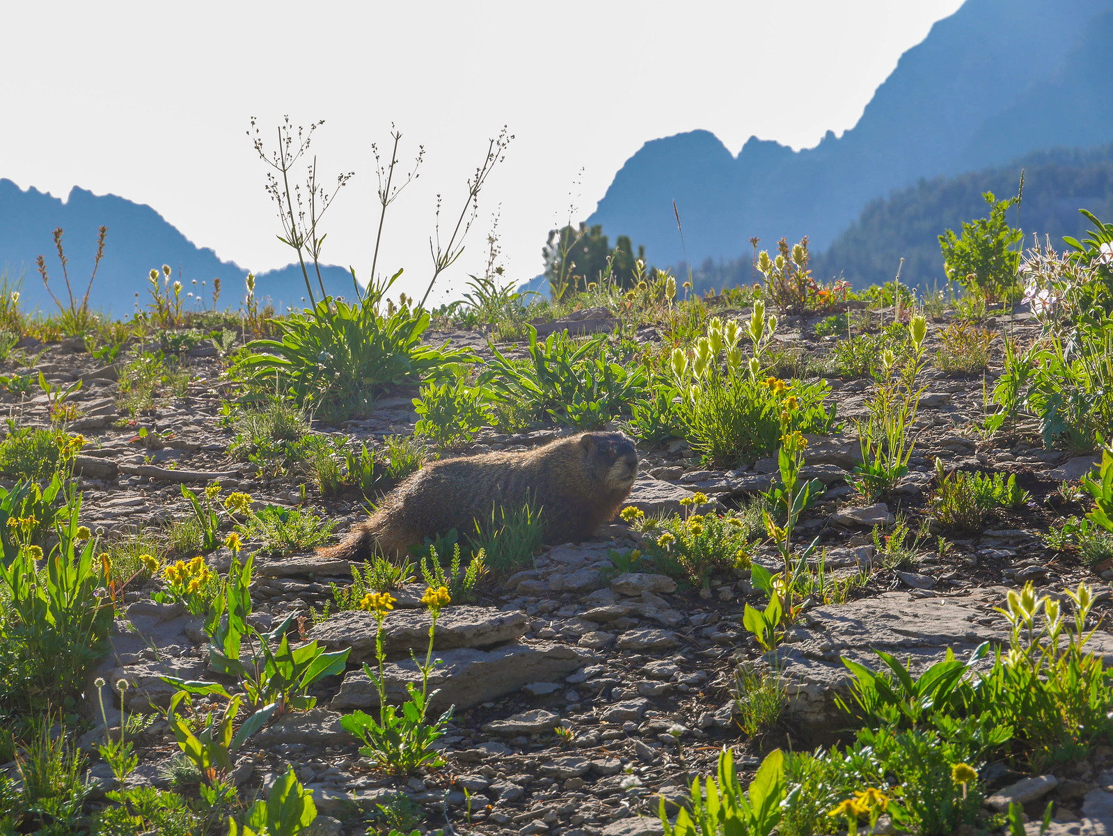
We encountered many marmots on this trip, but the vast majority of them were along Death Canyon Shelf. Here's a li'l bud I managed to capture.
Did I mention that there were still wildflowers on this trail? Because there were.
Before turning the corner for Meek's Pass, I looked back south where'd come from. The morning light made it easy to see the topography and trail that we'd hiked in on.
Meek's Pass is indeed meek. Not much more than a gentle ascent, then some plateau walking before descending into Alaska Basin.
 [/url]
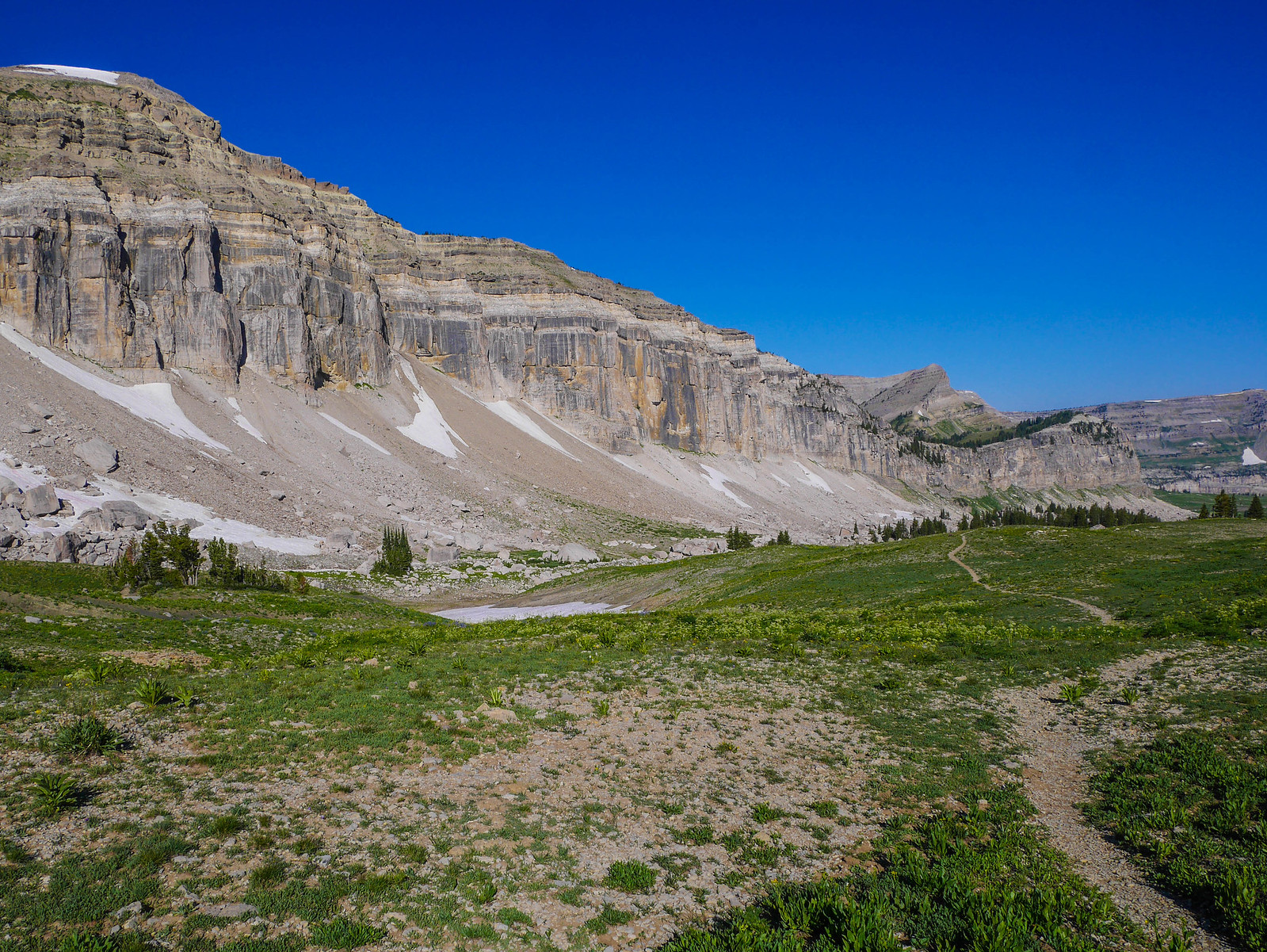
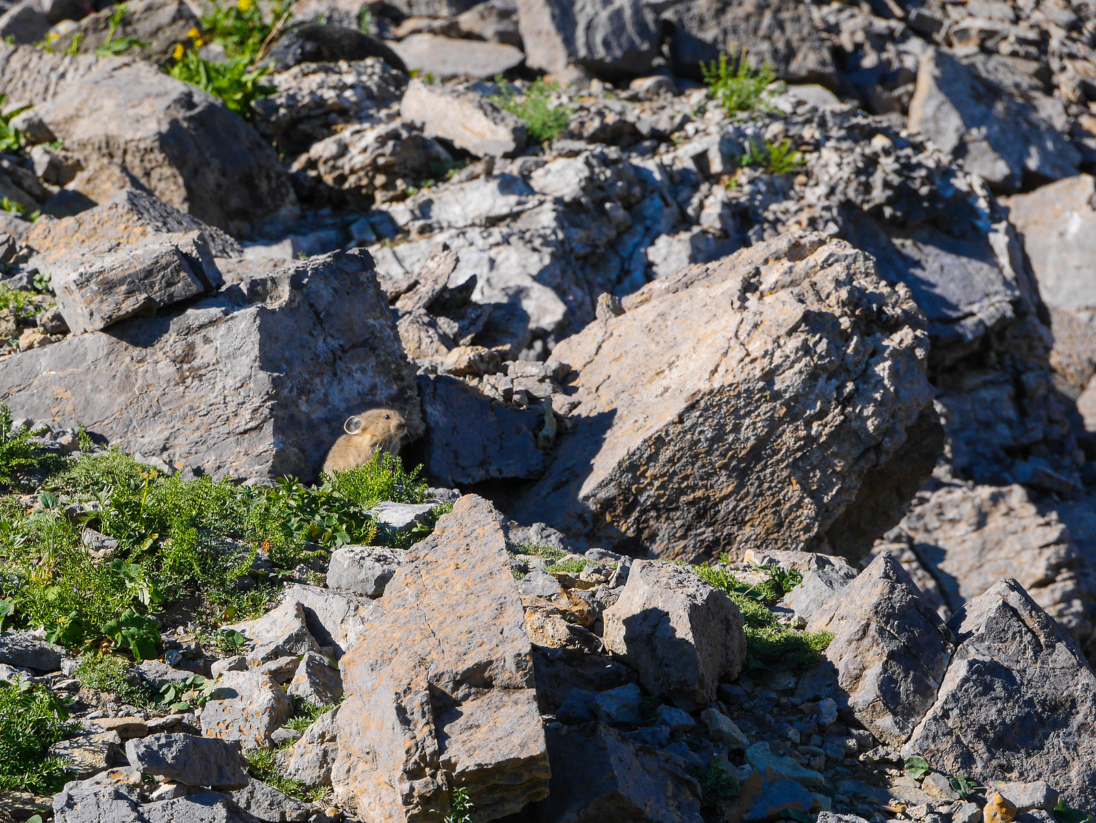
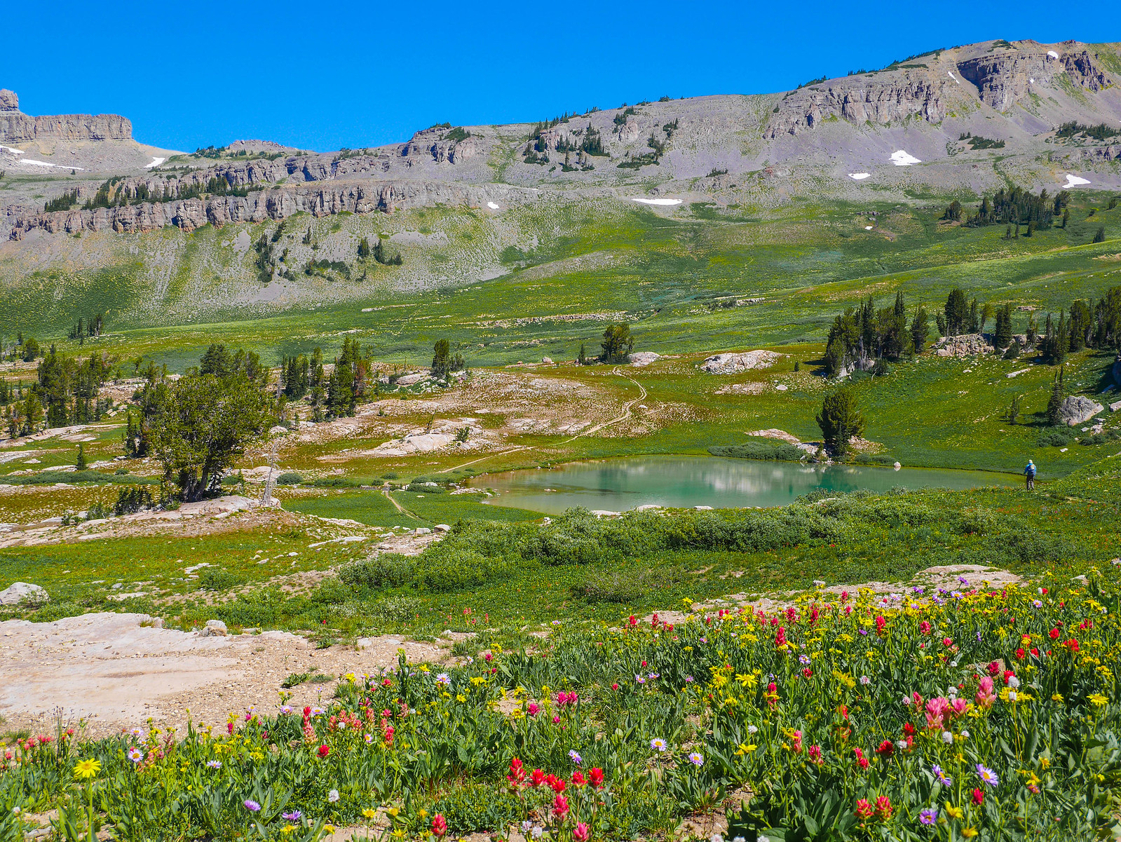
The trail undulated up and over a few minor shoulders before descending the Sheep Steps, which provide nice views and where I was able to snag a photo of a cute li'l pika!
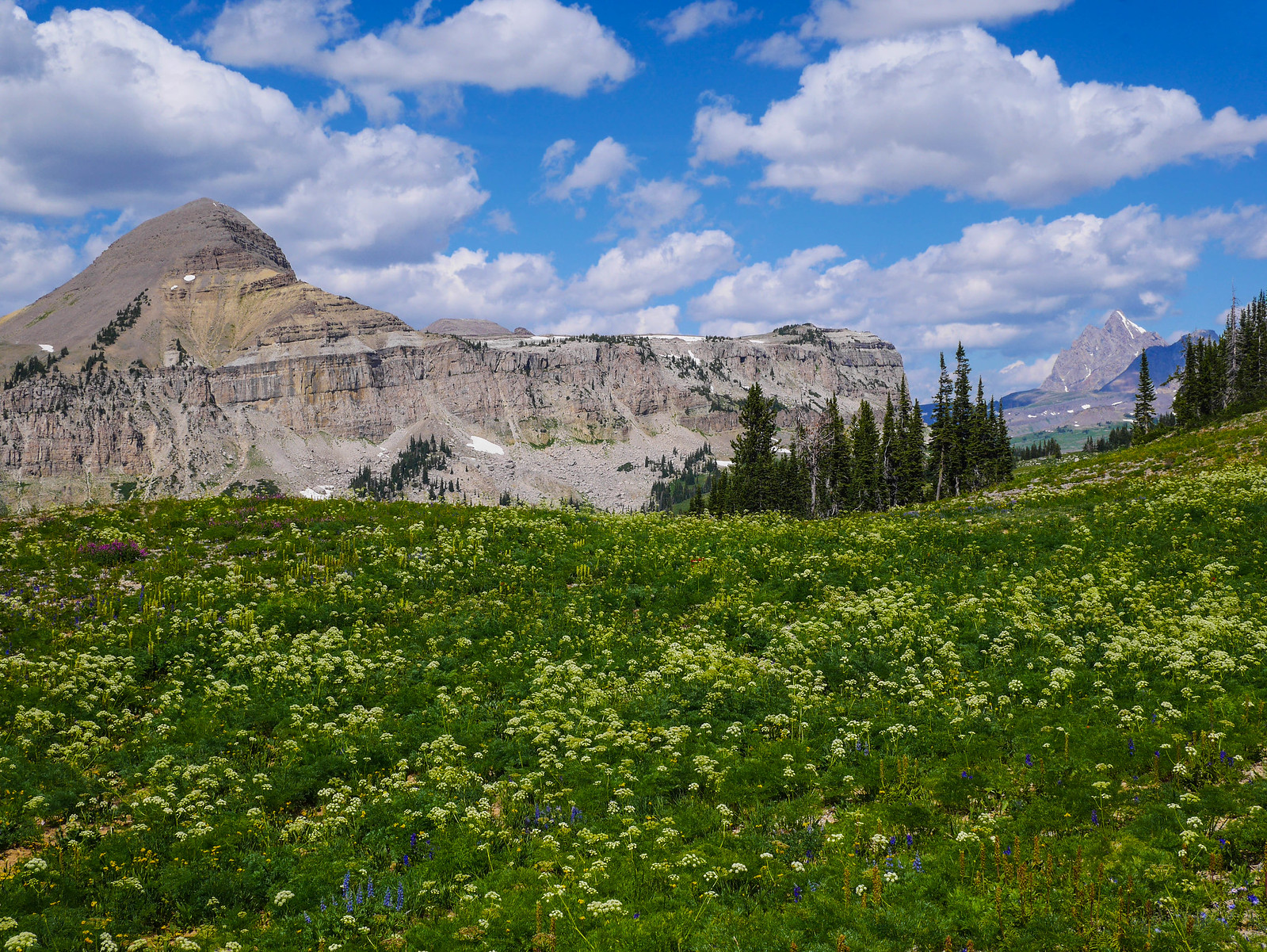
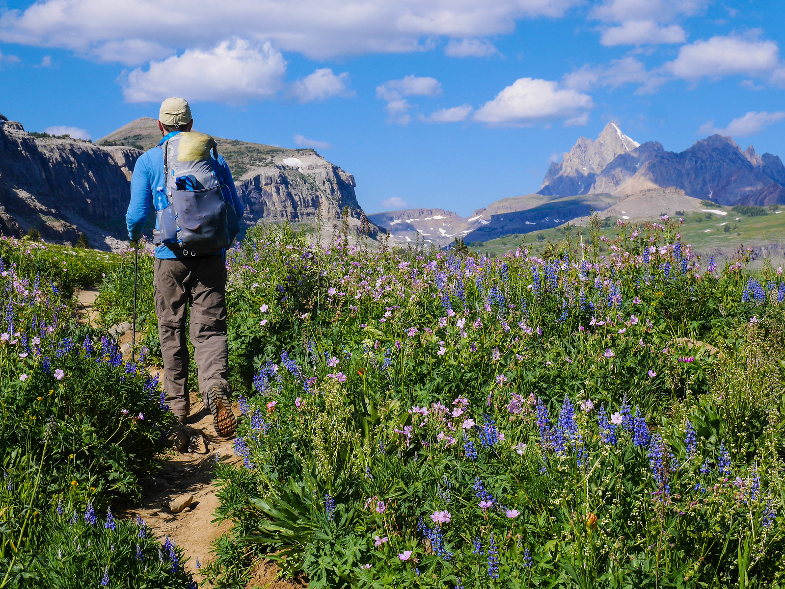
Alaska Basin is absolutely gorgeous, as you can see. Jesse again kept getting ahead of me because I couldn't stop taking photos. I was especially taken by the view as we descended to Sunset Lake. Look at the photo below carefully and in the meadows across the valley you'll see patches of blue, light green, and yellow. These are dense fields of wildflowers. My god. How even. What is Earth.
Once across the basin, we began ascending through those colorful fields we'd seen from across the basin.
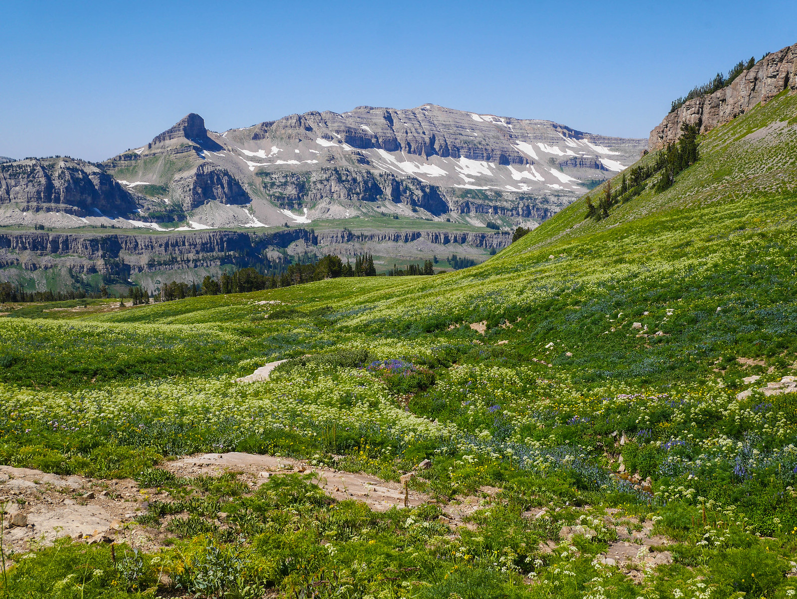
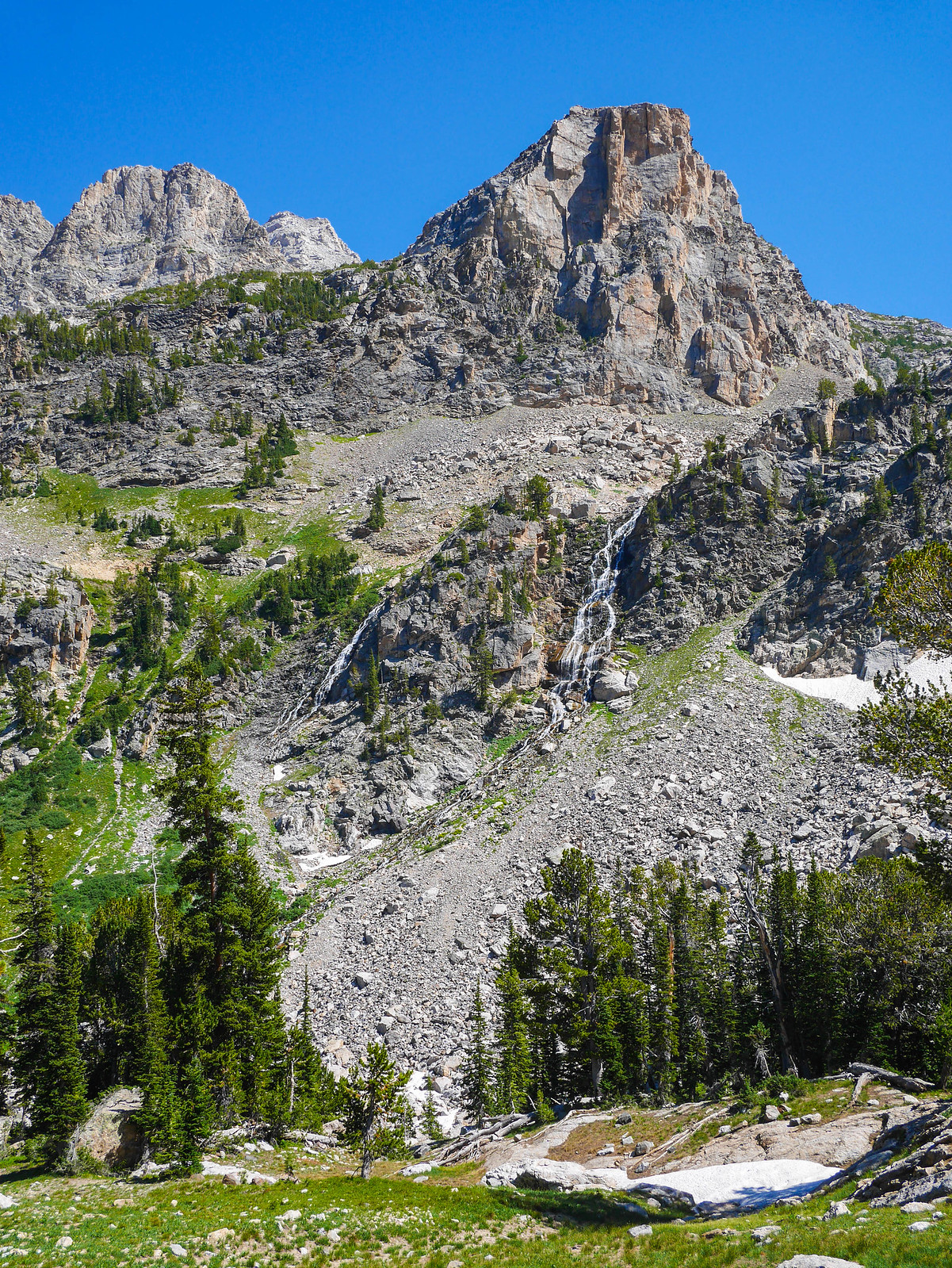
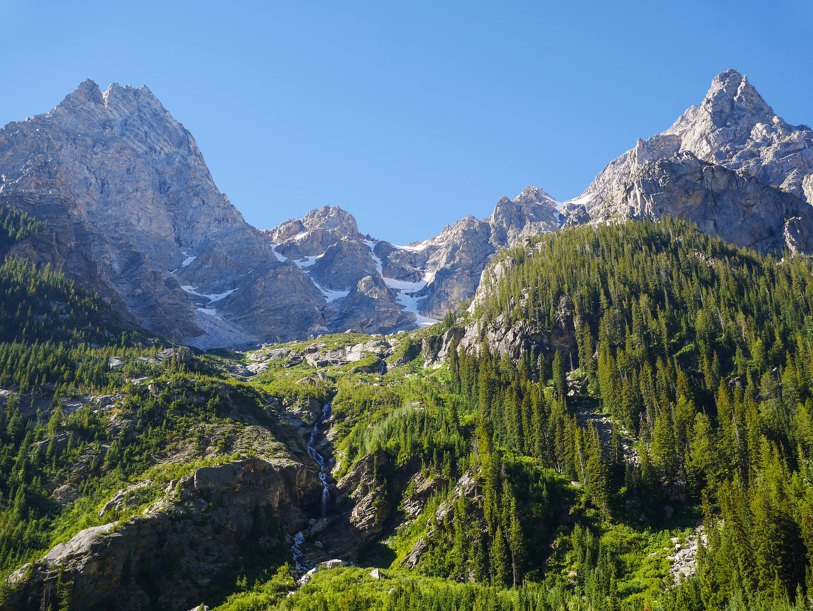
The trail left the basin and crested at Hurricane Pass, where we re-entered Glacier National Park, met a few hikers, and were up close and personal with the Tetons.
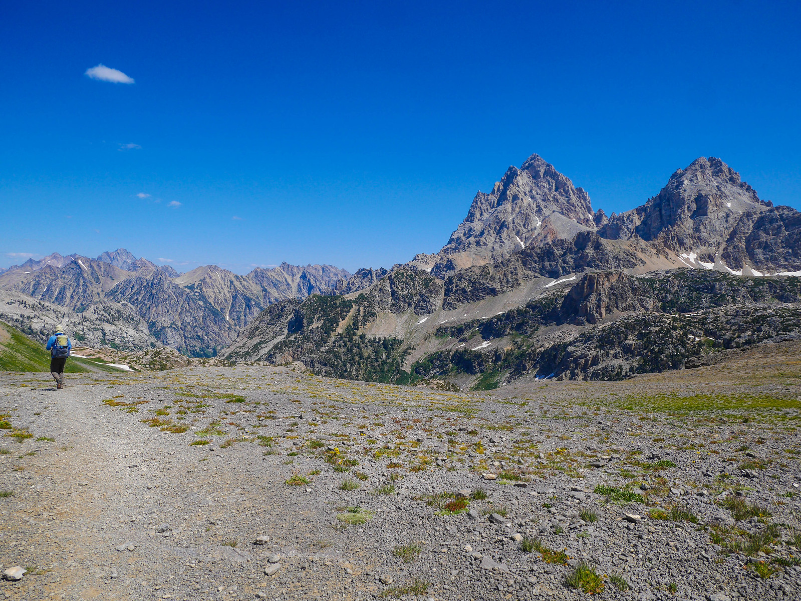
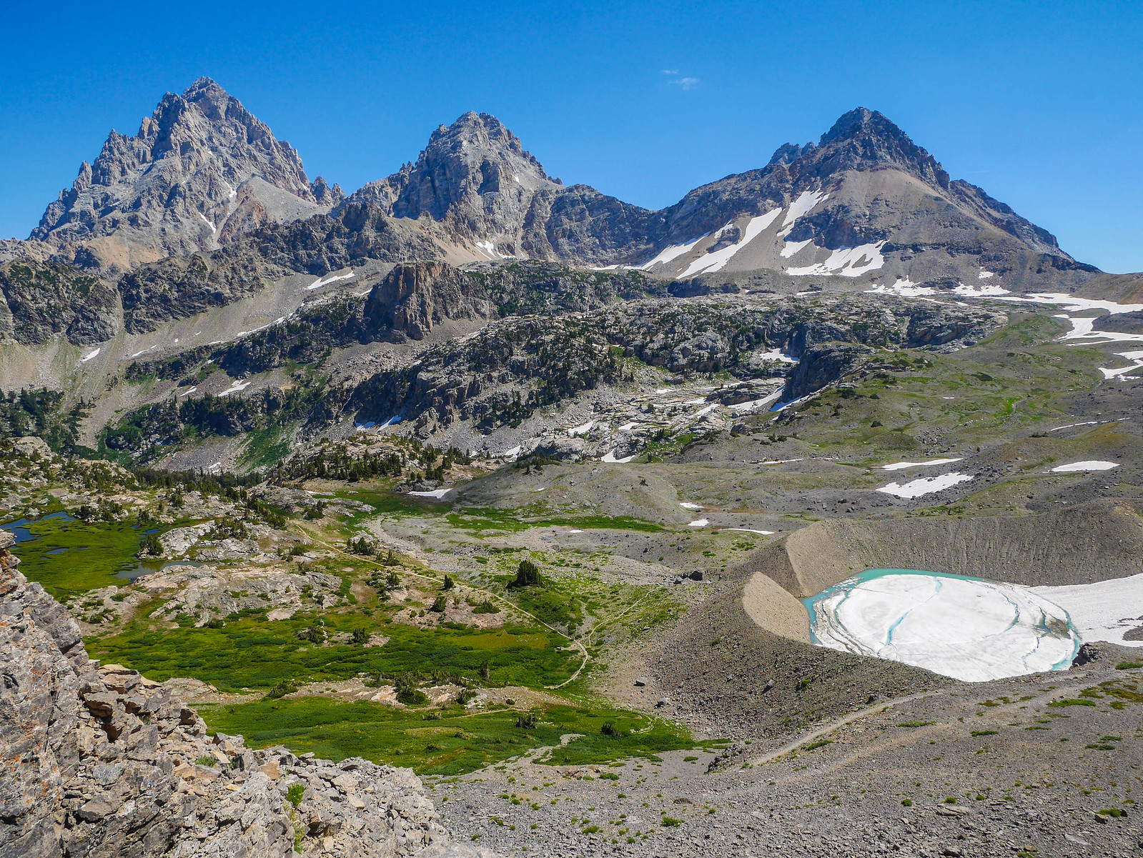
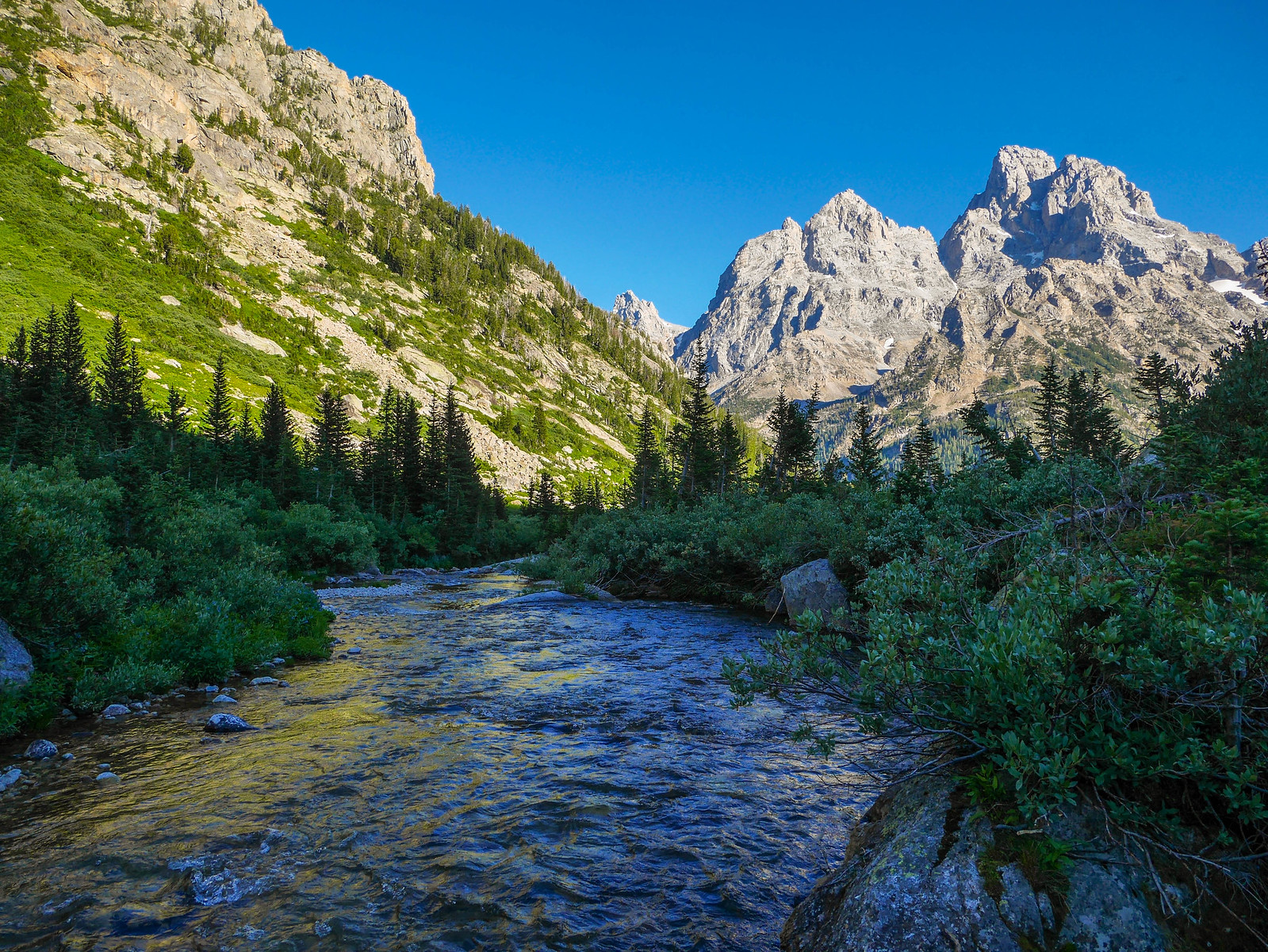
Just northeast of Hurricane Pass, we descended into the South Fork of Cascade Canyon. To our right we had magnificent views of all three Tetons (Grand on the left, then Middle in the.. yeah, and South on the right) and the remnants of the Schoolroom Glacier and its impressive moraine/crater down over our right shoulder.
 [/url]
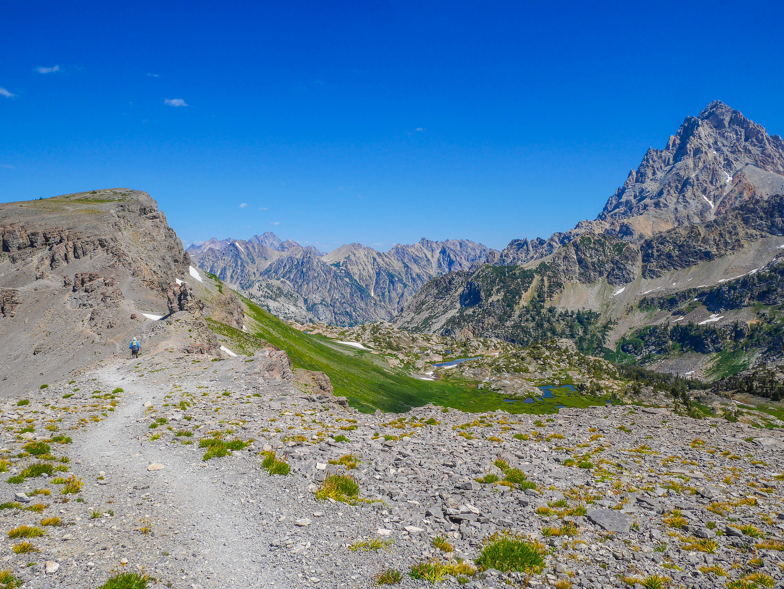
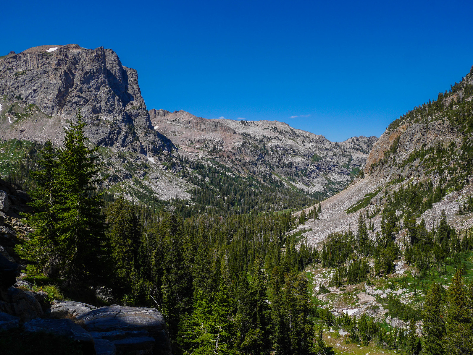
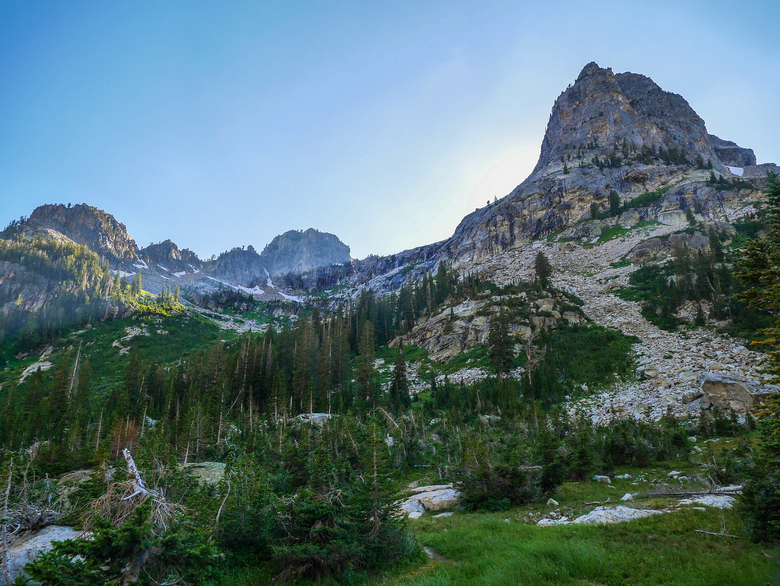
The upper reaches of the South Fork of Cascade Canyon were idyllic and I wouldn't have minded stopping in this area for the night, but I'd planned for us to hike up into the North Fork of Cascade Canyon so we could have view our Teton buddies from as many sides as possible.
So we continued to descend South Fork of aptly named Cascade Canyon.
I mean why would they even name it that.
Who knows. Ridiculous. These names.
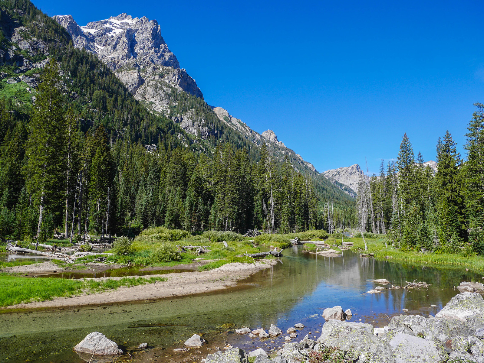
Once we got down into the vee where the north and south forks meet, and then turned left to ascend up the North Fork. Not far up the canyon we spotted this huge bull moose nom nom nomming in the creek.
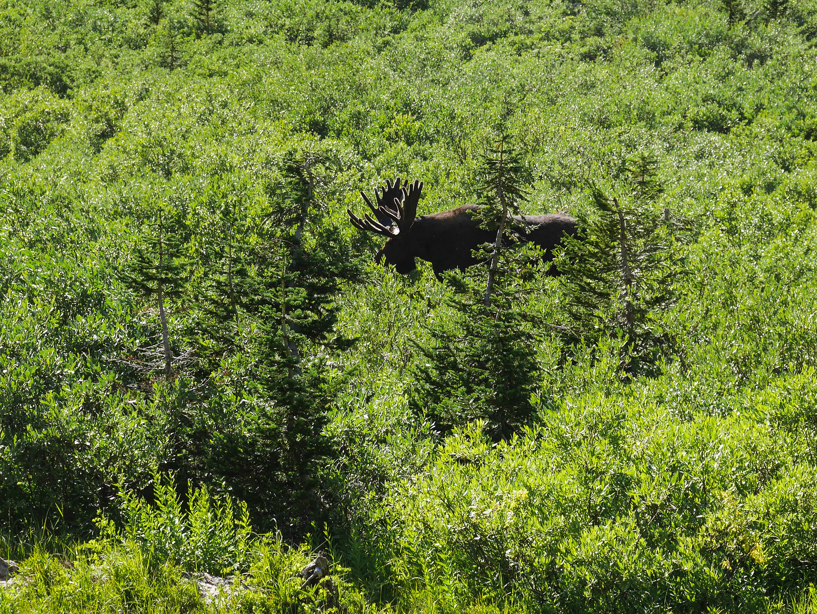
We hung out watching the moose, and then the gathering of humans who stopped with us to observe the moose, and then continued hiking up into the camping zone of the North Fork of Cascade Canyon. The views down towards Grand Teton rewarded every neurotic masochistic idea I had that made us hike up a few hundred feet just to camp with a view. I mean come on.
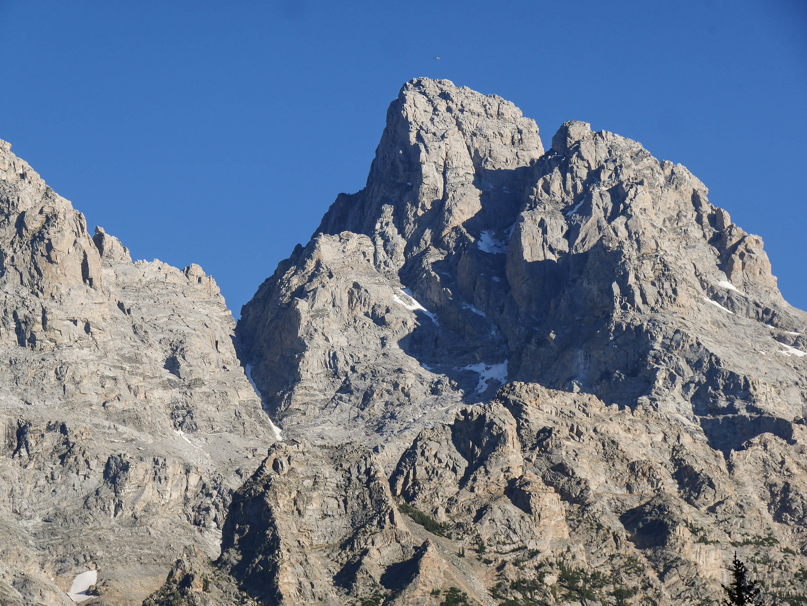
We found a great campsite pretty low down in the canyon and decided to snag it. When we were setting up camp, we noticed a helicopter fly over Grand Teton and execute a rescue. You can barely see its tiny dot above the massive mountain here.
After dinner we hung around camp enjoying the ridiculous alpenglow on Grand Teton before turning in around dusk.
Day 3
North Fork Cascade Creek to Jenny Lake
5.5 miles, +250ft/-1,750ft
We slept while the Earth rotated, and then morning came. Look:
It was chilly, but we had warm food and one of the most incredible views I've ever seen. The early morning sun just barely kissing the eastern escarpments of the mountain, the canyon in shadow but growing ever brighter.
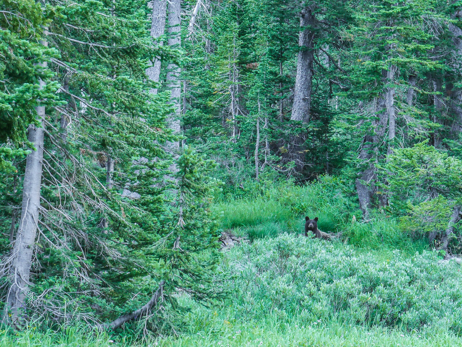
After a quick breakfast we broke camp and descended the North Fork, keeping as quiet as we could and looking out for wildlife.
Once back in the woods, but before reaching the junction, our quiet steps were rewarded with an adorable black bear encounter. Cutie was rolling around and digging up who knows what a few dozen yards west of the trail. We watched the bear for a bit before heading on, calling out to make sure he knew we were on the move.
[url=https://www.flickr.com/photos/99703682@ ... 328626564/" data-flickr-embed=true]
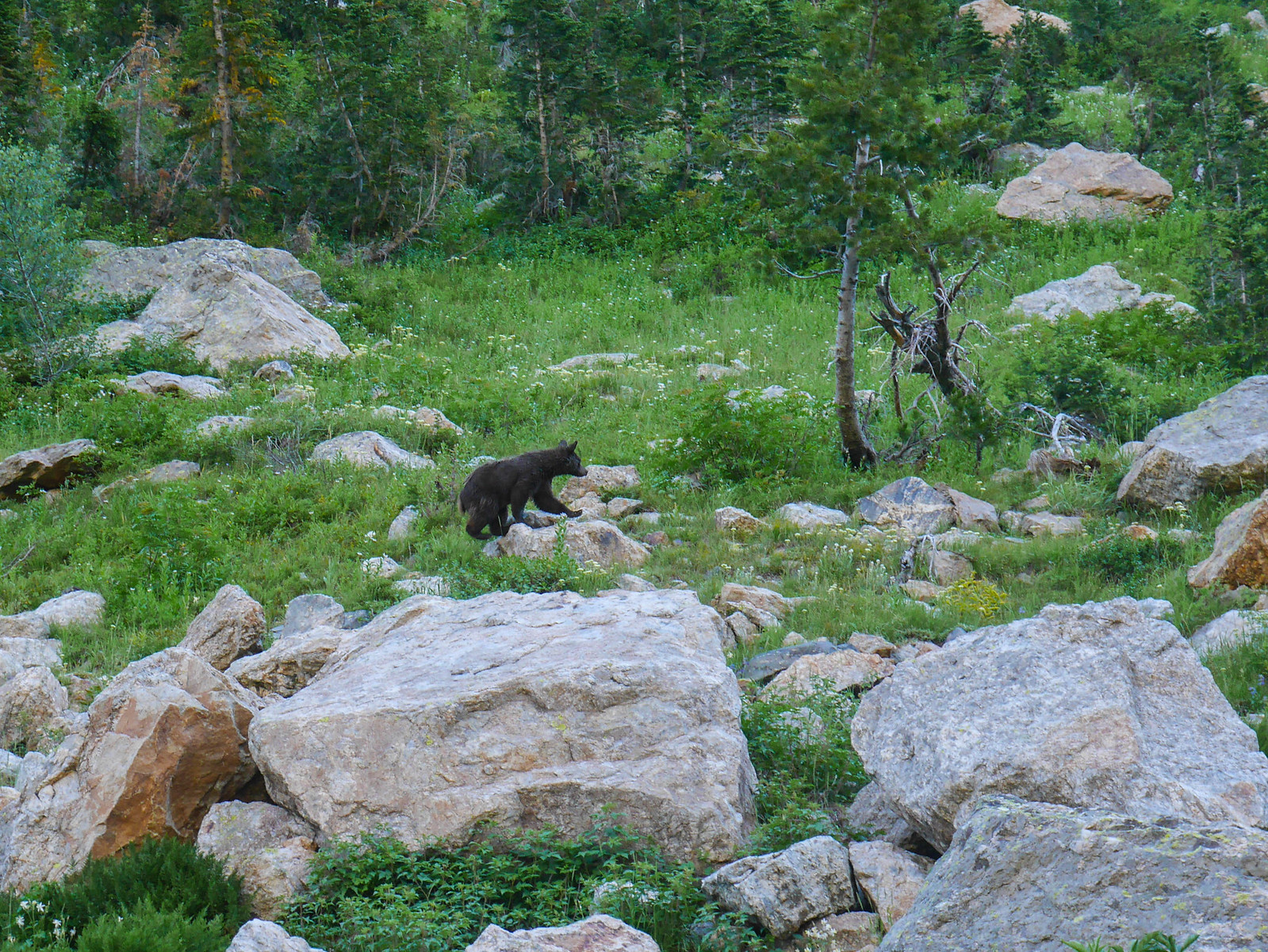
At one point we realized he was pretty close to the trail and we saw him run across it a few dozen yards up canyon from us. That just meant we got to enjoy him for a bit longer as he ascended the open rocky slopes of the east side of the North Fork's canyon.
[url=https://www.flickr.com/photos/99703682@ ... 328626564/" data-flickr-embed=true]
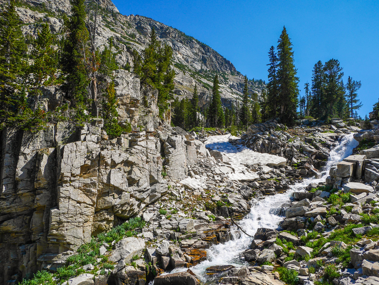
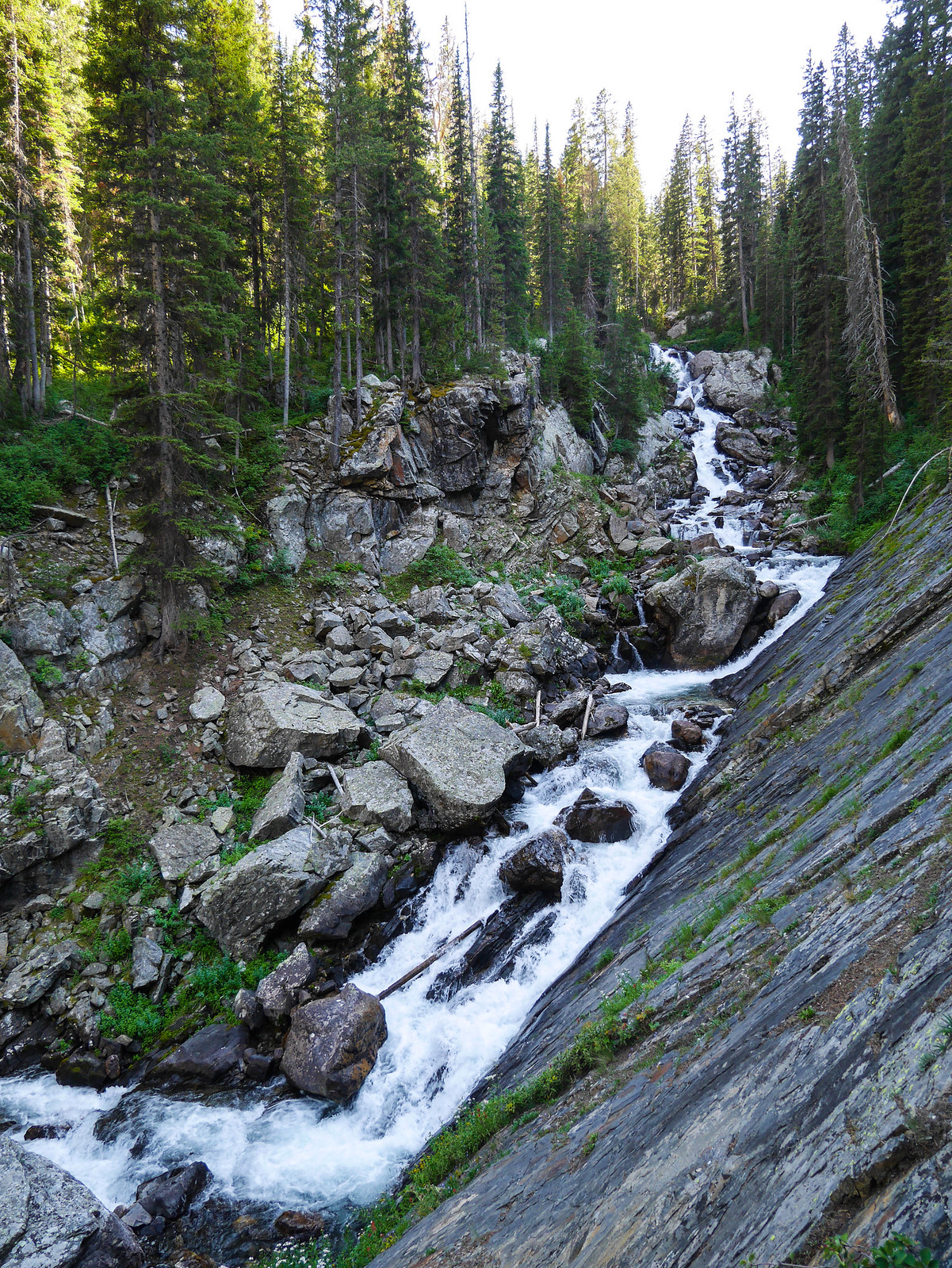
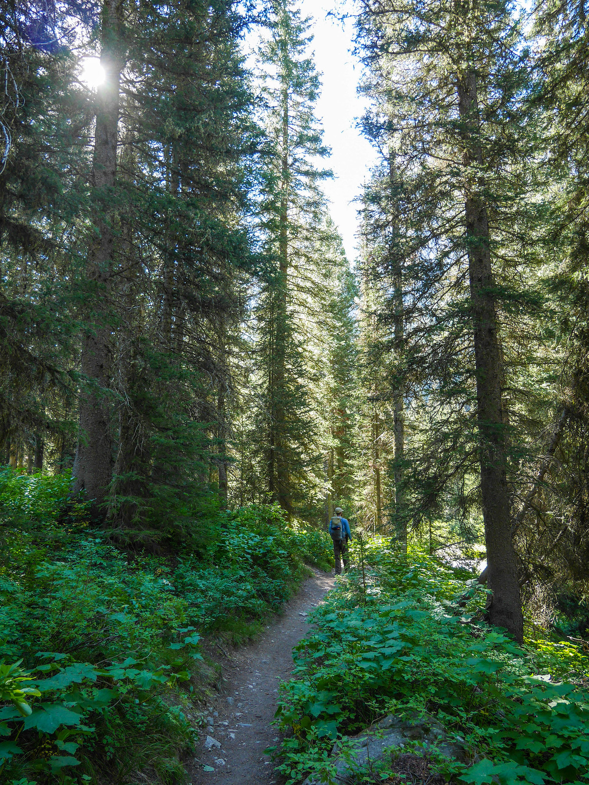
Once we met up with the trail from the south fork, now in Cascade Canyon proper, we just had to roll down the hill to Jenny Lake. The bulk of the trail down was sheltered in a gorgeous forest, with the powerful Cascade Creek tumbling (and living up to its name) to our right.
[url=https://www.flickr.com/photos/99703682@ ... 328626564/" data-flickr-embed=true]
There were spots here and there where the trees parted and we got grand views across the canyon into the steep and craggy peaks of Mount Owen and Grand Teton.
[url=https://www.flickr.com/photos/99703682@ ... 328626564/" data-flickr-embed=true]
[url=https://www.flickr.com/photos/99703682@ ... 328626564/" data-flickr-embed=true]
After just a few hours hiking, we arrived at the ferry dock on Jenny Lake. We'd arranged with my parents to drop a car in the parking lot at the other end of the boat ferry, so we hopped aboard the next ferry and were quickly whisked back into tourist reality.
[url=https://www.flickr.com/photos/99703682@ ... 328626564/" data-flickr-embed=true]
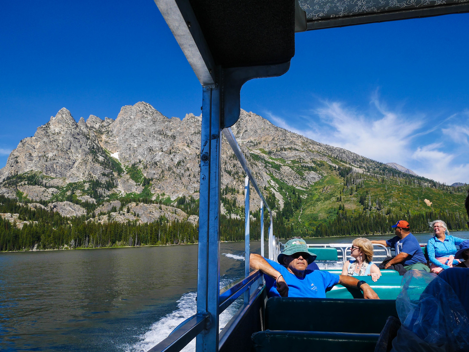
We found the car they'd stashed for us without too much trouble and drove the 45 minutes back to our condo in Teton Village, home by 2pm, with plenty of time for a shower and sauna before dinner.
Want to do this trip yourself? You’ll need a permit from [url=https://www.nps.gov/grte/planyourvisit/bcres.htm]Teton National Park, complete with designated camp areas. We chose Death Canyon Shelf and North Fork Cascade, but a similar trip could be had without such strict permits by camping in the national forest west of Fox Creek Pass and then in the Alaska Basin. You could hike straight from the Alaska Basin down Cascade Canyon to Jenny Lake and do this whole thing without any GNP permits at all, but I really loved our spot in the North Fork of Cascade Canyon, so I'd recommend trying to spend at least one night in the park proper. [url=https://caltopo.com/m/8G7L]Here’s roughly our route on CalTopo (not an exact GPS track).


