Drove up to Roads end last Friday morning and started hiking around 10:00. Following the sierra high route to Dusy Basin and then heading back down along the middle fork of the Kings. Made it to Grouse Lake which I loved - pretty, fun fishing, and all by myself. Little sleep + driving + a lot of uphill made for a long day. It was a bit windy and cloudy.

- GrouseLake (Small).JPG (96 KiB) Viewed 291 times
Looking back over Grouse Lake in the morning:
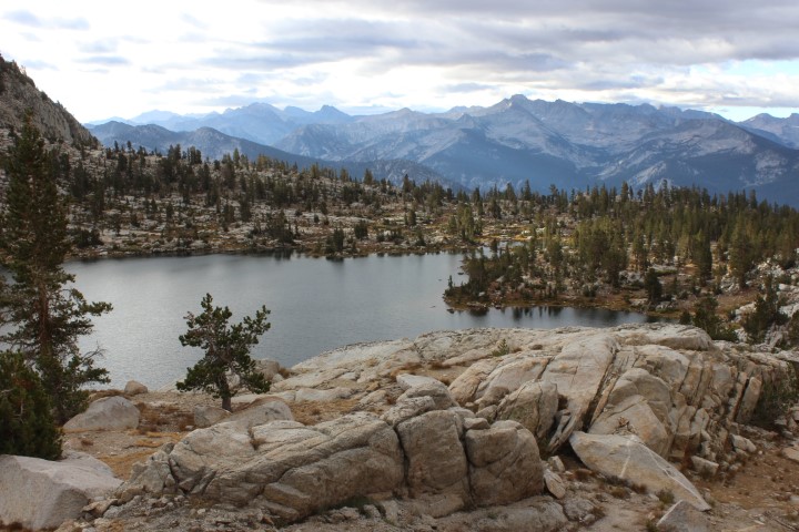
- GrouseLake (2) (Small).JPG (132.26 KiB) Viewed 291 times
I went real slowly the second day, stopping to fish at some places and eventually stopping around 4:00 at Horseshoe Lakes. Around the time I realized (I think) there were no fish in the lake I also realized someone else was camped there, but I was too lazy to pack up and head on. Pretty spot, though:

- HorseshoeLakes (Small).JPG (113.66 KiB) Viewed 291 times
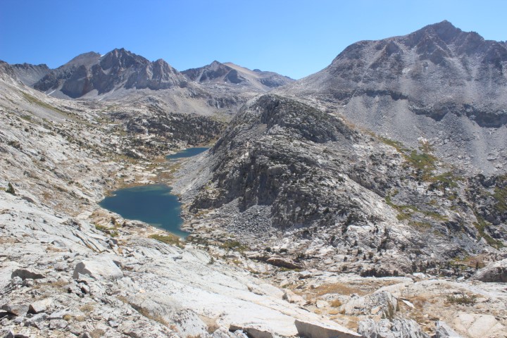
Third day I tried to make up for the short previous day. Great view from Windy Ridge:
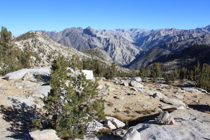
- WindyRidge (Small).JPG (166.32 KiB) Viewed 291 times
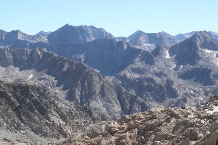
I thought the view from Red Pass was incredible. None of my pictures really came close to capturing it:(
Marion Lake was a beautiful color:
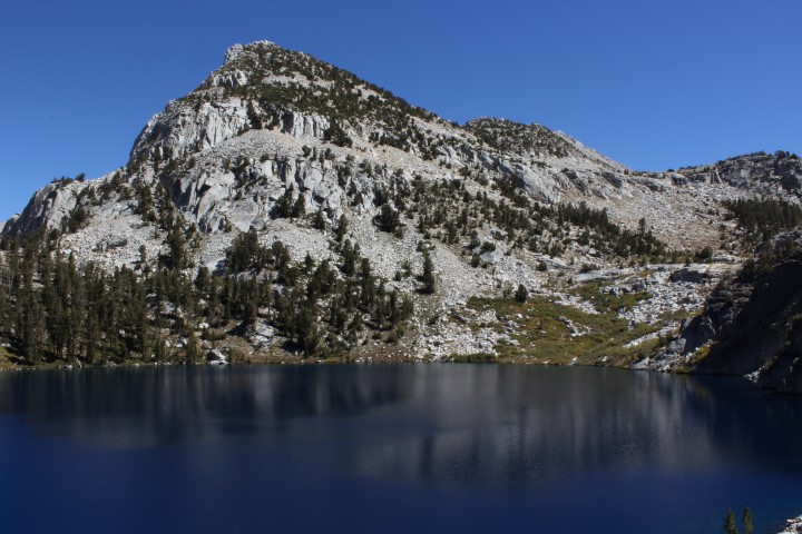
- MarionLake (Small).JPG (118.8 KiB) Viewed 291 times
Headed up towards frozen lake pass (I think this is looking up towards the pass). Coming at the end of the day that pass was pretty tedious and tiring. I was pretty exhausted by the time I got to down; I camped at the first reasonable spot I found down in upper basin.
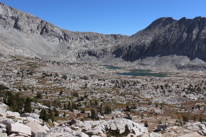
- LakeBasin (Small).JPG (173.41 KiB) Viewed 291 times
Fourth day started out on the John Muir Trail. I ran into a ton of people who were coming up Mather Pass. Hiking along Palisades Lakes I was looking up towards Cirque Pass thinking, "I'm going up there?". Looking back towards Palisades:
- Palisades (Small).JPG (167.25 KiB) Viewed 291 times
From Potluck Pass:
- FromPotluckPass (Small).JPG (124.25 KiB) Viewed 291 times
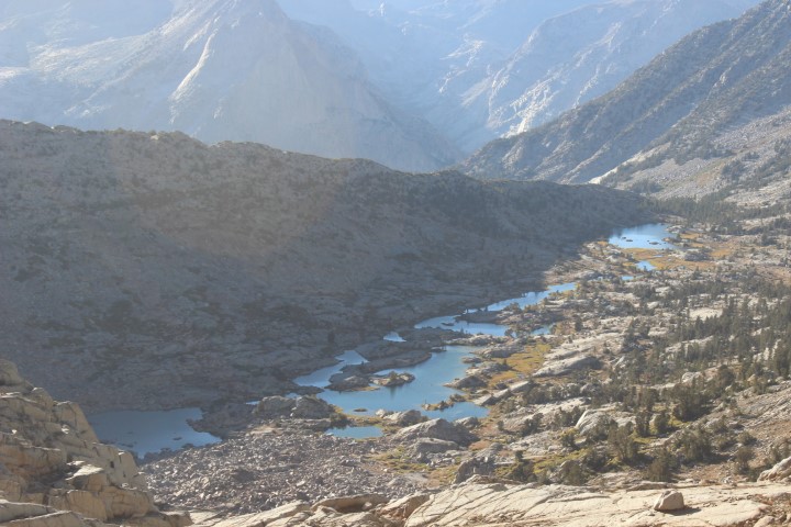
Pretty "snaking" lake, as promised in the book:
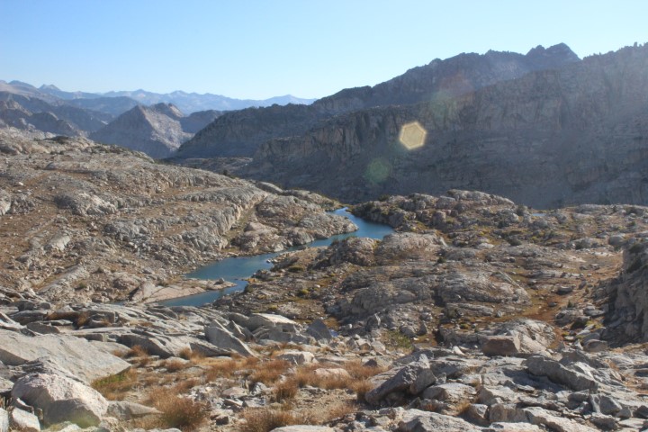
- PalisadeBasin (Small).JPG (136.86 KiB) Viewed 291 times
Random pic:
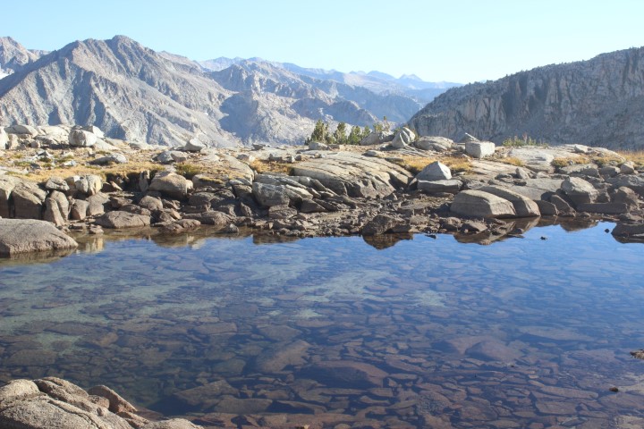
- PalisadeBasin(2) (Small).JPG (137.04 KiB) Viewed 291 times
After a long day the end was in sight. As usual though, it took me a longer than I expected to make it all the way down and find a campsite.
- DusyBasin (Small).JPG (122.23 KiB) Viewed 291 times
Fifth day: I'm expecting a quick jaunt back to the start on trails. Not really with any basis, I just assumed it would be real quick, basically a trail in forest following the river south. Not exactly. The trail headed lost a ton of elevation, kind of a lot of steps that I don't really love. Pretty views but it took a while to get to the King's River. The beginning of that trail was kind of what I expected; pretty mellow with some nice campsites, just kind of following the river.
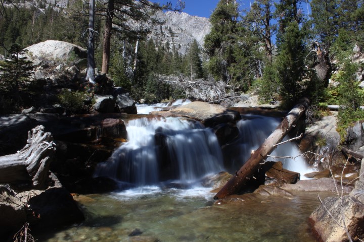
- MiddleForkWaterfall (Small).JPG (154.12 KiB) Viewed 291 times
Attachment limit? Continued...


