Spent the last week+ traveling to, from, in, and around Kaweah Basin. I started and ended my trip at Rowell Meadow, going by way of Cloud Canyon and Colby Pass, starting my x-country part of the trip above the Kern-Kaweah river across from Kern Point (
map). No snow along the way, and very easy creek crossings (I think my feet got wet once the entire way). The x-country route turned out to be slightly rough but relatively easy to climb and navigate. Once I reached the ridge I traversed below the lowest lake on Picket Creek where its an easy climb up to the lake. From there I took the easy pass into Kaweah Basin and camped near the outlet of one of the lower lakes (
map), arriving early enough to explore the area around the lower lakes a bit. The following days I explored the basin and the lakes east of Red Spur, then found myself back along Picket Creek to explore that area, where I camped at the lowest lake along the creek. This lake was so amazing, with great fishing and great views up Picket Creek and across the Kern River valley toward the Sierra Crest. The next two days were spent on the trail hiking out. Many of the passes looked mostly clear of snow, but I talked to a person who had come over Pants Pass and said he had one heck of a time negotiating the snow. I bailed out of doing a loop because of this.
I shouldn't have been, but was astonished at how pristine this whole area was. It all had such a magical feeling to it. Very few signs of humans ever being in the area - only some old fire rings to let me know. Several rock slides shattered the silence of the basin, one large one off the south ridge of the basin left a cloud of dust blowing across the sky. My head is still in a different world now so its hard to write up everything I want to, I hope to try to add more details and more photos in the future, but here are a few that I've processed so far:
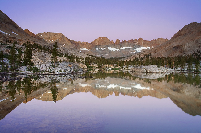
Early morning twilight in Kaweah Basin
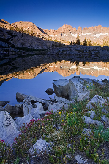
Sunrise alpenglow
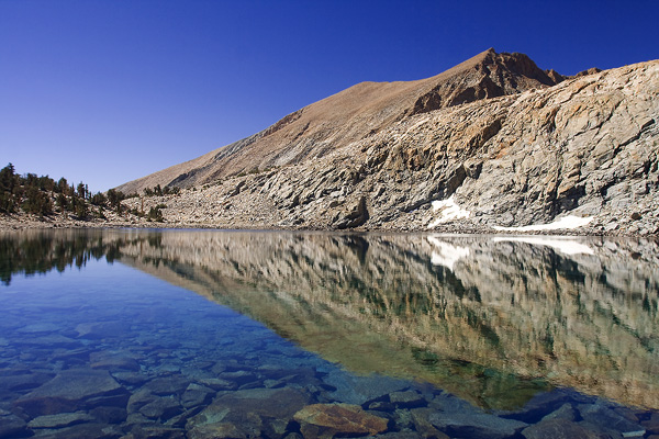
Lake along the Red Spur