5/31/2106 - 6/5/2106
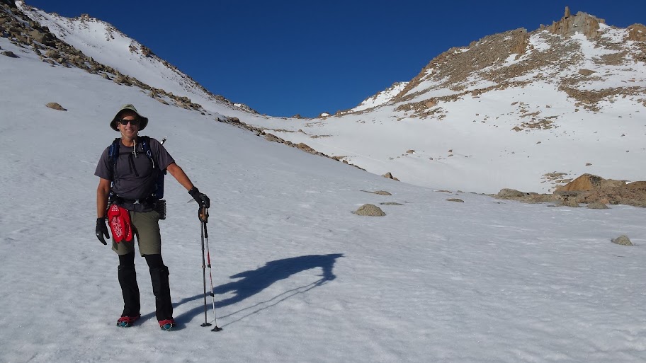
Special equipment: ice axes, trail runners/micro-spikes, GTX socks, tights, knee gaiters, gloves, 5+ r-value pads, 10 degree bags; optional boots/crampons
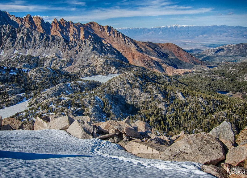
Approach to Lamarck Col 6/1/2016 7:00am
Rather than wait to pull together a complete trip report, I figured it would be more interesting to post up a couple of initial tidbits and allow a more detailed story to develop from there. Andy has hundreds of photos to sift through and organize, as well as his own perspective that should help provide better context to what we jointly experienced. Suffice it to say, over time as the stories are told and re-told again about the perfect conditions, incredible weather and endured hardships, legends will continue to grow about this amazing hike that Lead Dog, Tenacious D and myself took along the JMT in the spring of 2016.
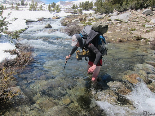
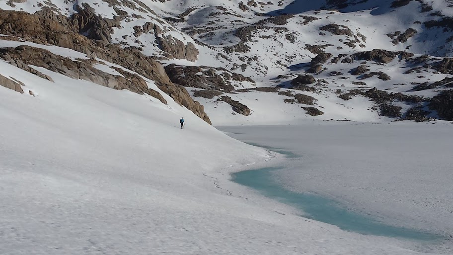
Lead Dog @ at the shore of Helen lake 6/2/2106 7:30am
Day 1 - 5/31/2106
N Lake TH - upper Lamarck plateau
3.1 miles
Where to start? Well, Lead Dog (aka BlueWater) and I drove up from OC on 5/31, met & picked up our permit in Lone Pine before noon, and then proceeded to drive up to Onion valley to rendezvous with our shuttle driver. [Kurt, our low-key, very $ reasonable & gregarious driver, has his own host of interesting stories to tell (AF academy, Viet Nam, 37 years airline captain), so if you need a ride along the east side, give him a call at 616.972.9476.]
Leaving our cars behind, Kurt drove us up to the N Lake trailhead for the start of our adventure. We were both a little anxious due to both known challenges of heavy snow, but also the expectation of unknown surprises that awaited us. To add a higher pitch, there were tales of recent trailhead 'rescues' Kurt had performed for whipped & stranded PCT hikers looking to escape at various exit points, primarily Horseshoe meadows. (In anticipation of potential problems, both LD and myself had credit cards & cash in case we decided/had to bail at Bishop, Taboose, etc.) After a couple of perfunctory pictures, and a word of assurance that we looked like we knew what we were getting ourselves into, Kurt took off. We were left with nothing else to do but hike, so off we started.
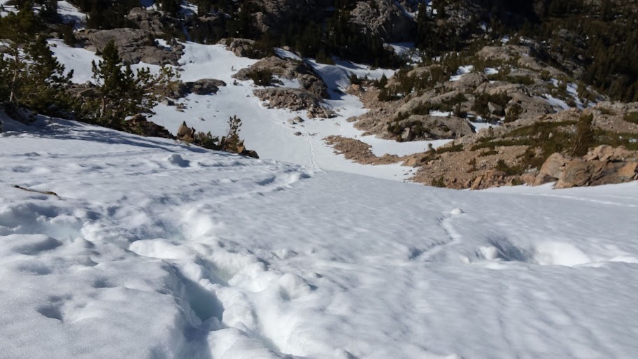
The first challenge we were going to encounter was the state of the dangerous and exposed trail below the initial switchbacks above upper Lamarck lake. Just getting to that point was a little bit difficult because snow coverage was close to 100% beyond lower Lamarck lake. (Throughout the hike, 10.7k became the baseline. Below that, patchy, sometimes almost continuous snow; above, 100%+ coverage.) Because of our afternoon start, we of course had to deal with our first series of post-holing fun in the deep snow drifts that covered the entire trail.
[Note: The entire trail plan was to hike very early each day in order to have perfect, hard packed snow/ice conditions in which to simply walk across. Day 1 was a late start due to the basic logistics of merely getting there, shuttling cars, etc.]
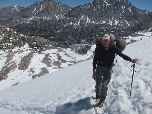
Getting to the base of the switchbacks, we could just make out small traces of trail snaking up the shoulder, along with boot tracks/crampons in the snow both linking the trail, as well as heading straight up the chute. I don't have any photos looking up, but I'm sure Andy has some that will provide a better perspective. What I do have is looking down the steep chute - oddly, everything appears flat, when it was actually around a 60-70+ degree fall off.
It may look flat, but it is actually very steep
After finally making it to the top of the switchbacks, Lead Dog took a few steps to the left to gain a better perspective on the other side. This is what he saw:
Are you feeling lucky?
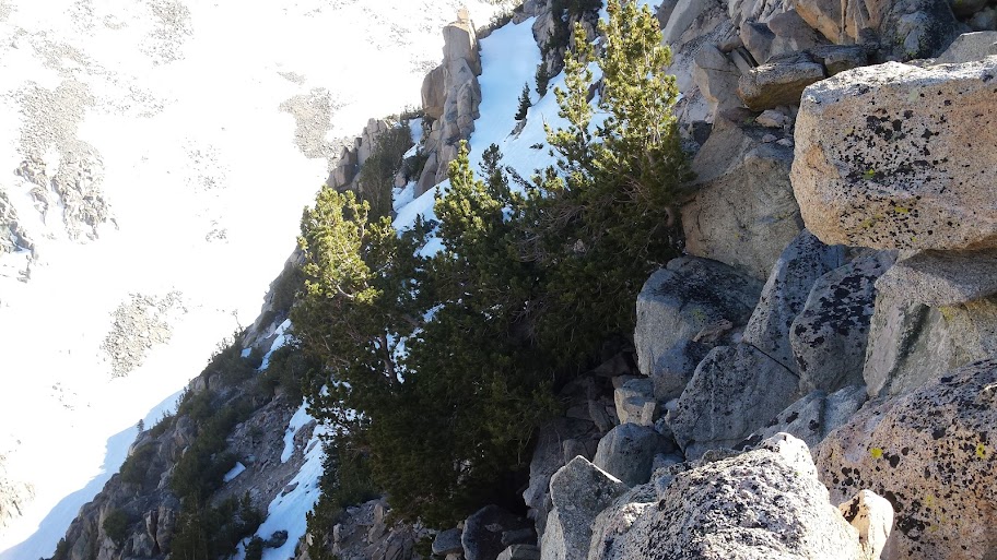
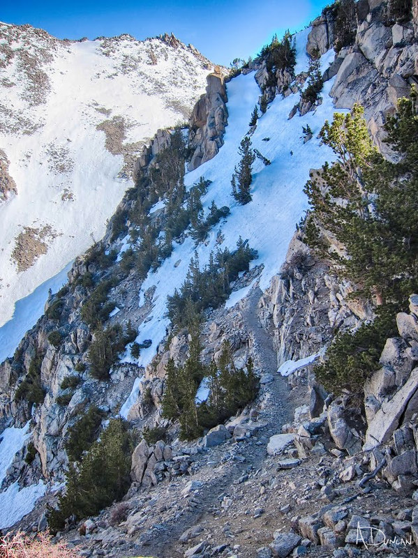
This had death written all over it, so we just sort of whistled to ourselves, and went to plan B that we had devised while ascending. To the right of the switchbacks are a series of boulders that lead to the top of the 11.6k ridge line above upper Lamarck lake. We knew that the south side had a mellow grade, so all we had to do was engage in a little class 3 hand-over-hand climbing straight up the boulders in order to bypass the cliffed-out drop-off section laying in wait below the snow/ice choked trail.
Just a little higher
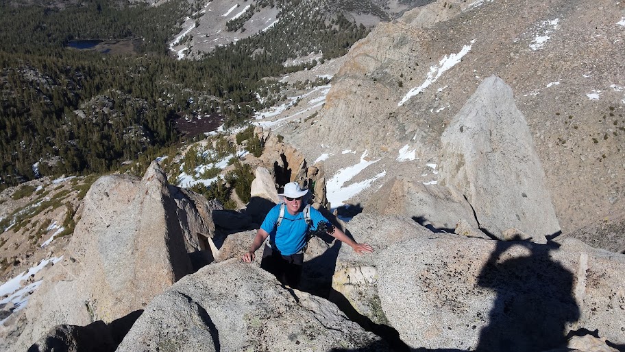
After not too much time, we finally reached the top of the ridge. To our collective great relief, we saw both impromptu bivy spots along the top, as well as a nice, mellow plateau @ 11.5k further down with plenty of camp spots. So, as the day was edging to evening, we headed on down, set up camp, cooked dinner, and crawled into bed. Spoiler alert: neither of us set up any kind of shelter the entire trip; the weather was so perfect everyday, we simply threw down our gear and cowboy camped each & every night.
With an agreed start time of 6:30am early next morning to get over Lamarck Col, we both fell sound asleep after an adventurous day one.