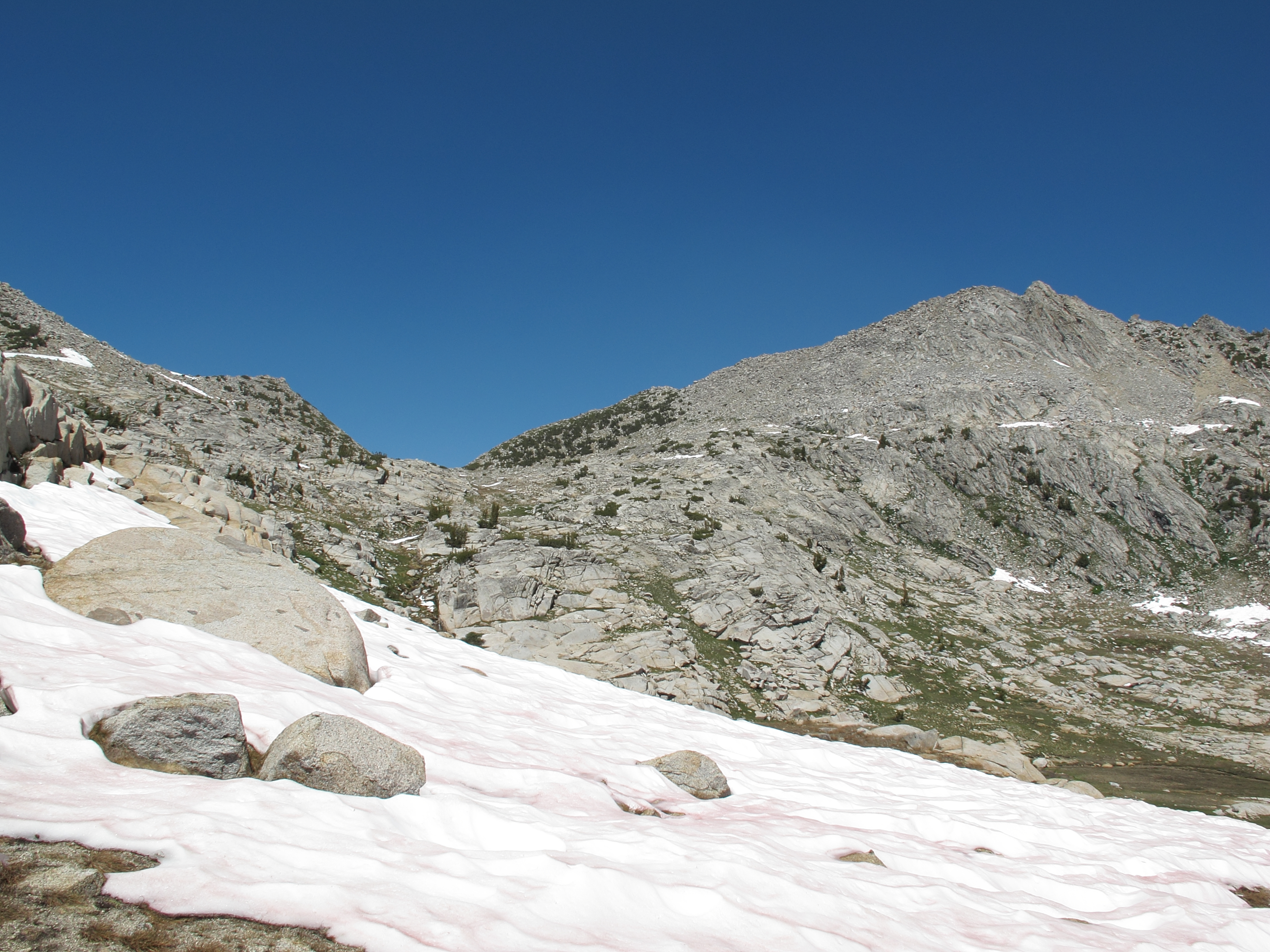
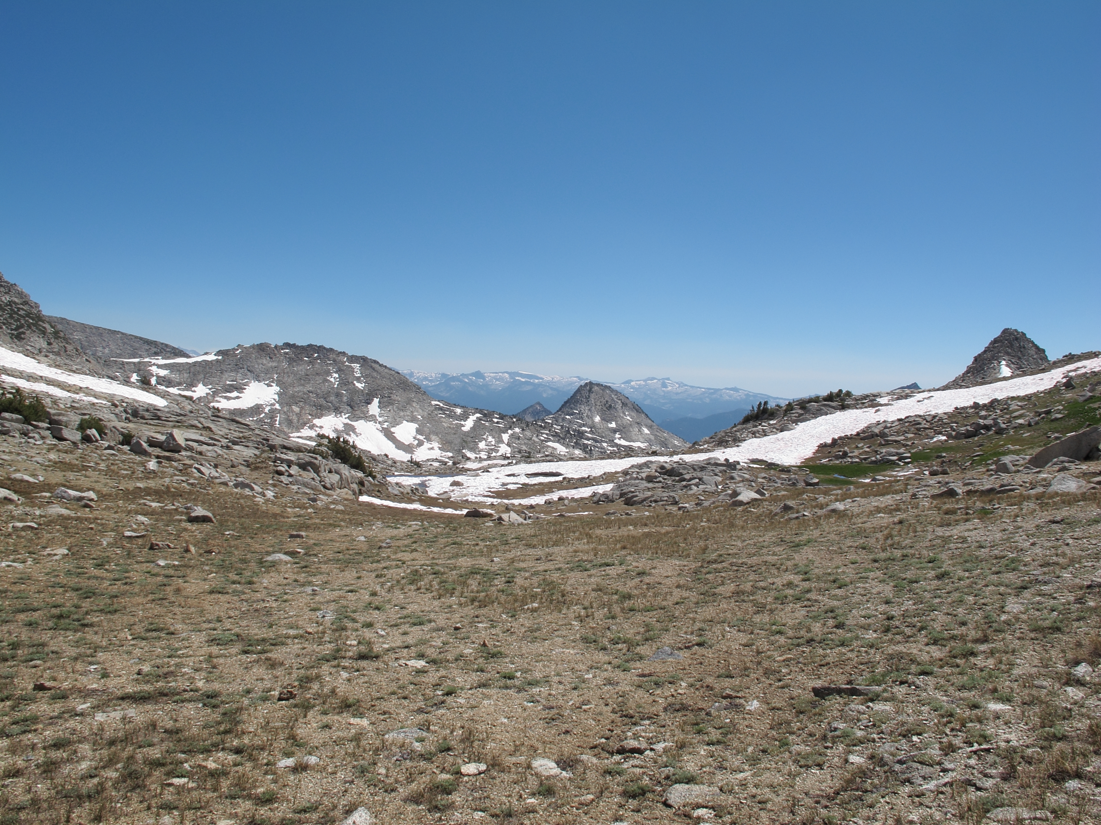
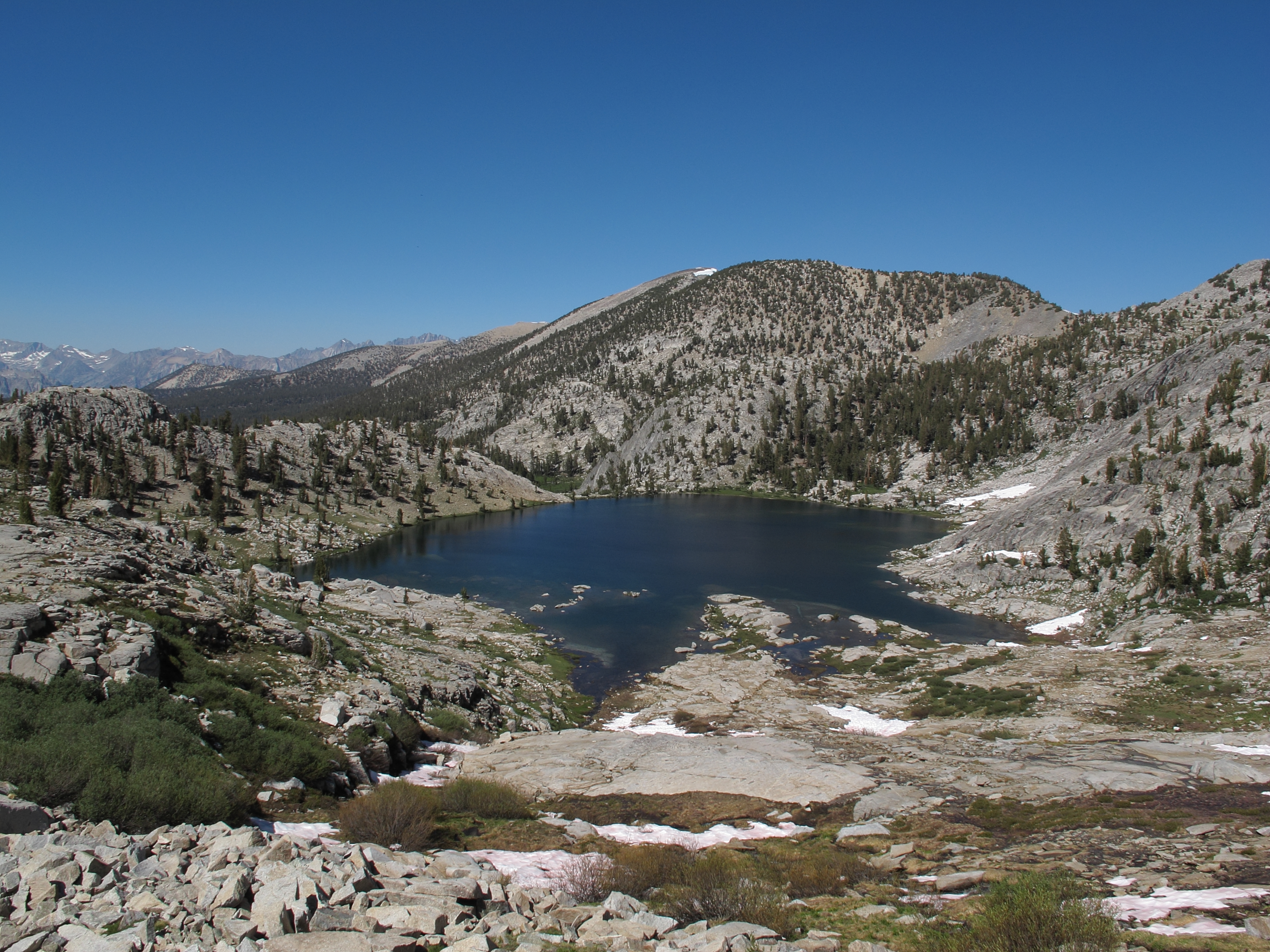
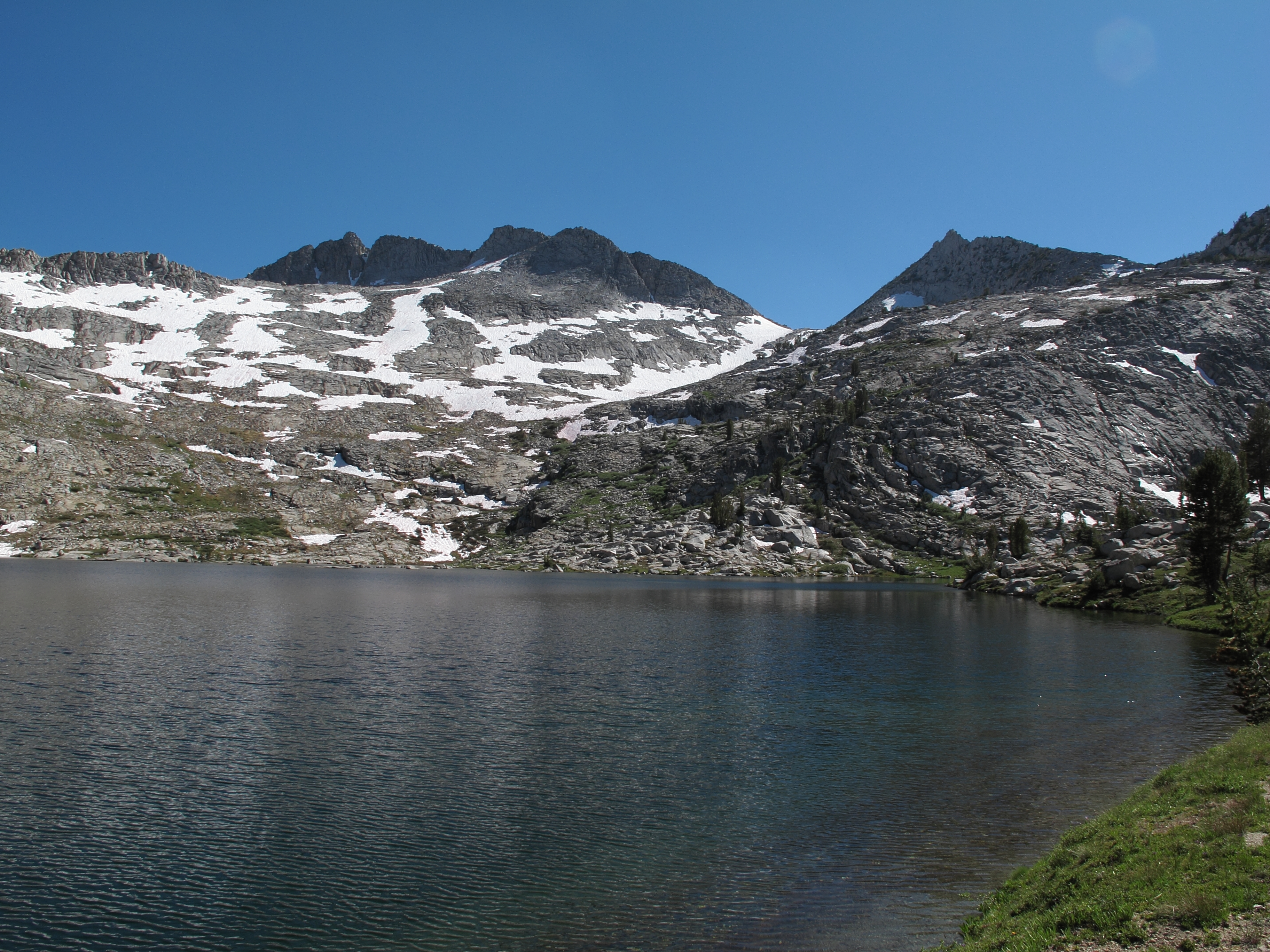
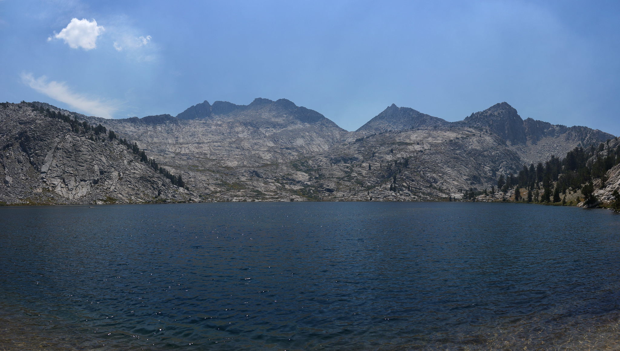
GENERAL OVERVIEW: This pass crosses Goat Crest at the upper most end of Granite Creek and the upper Glacier Lakes
CLASS/DIFFICULTY: Class 1-2
LOCATION: Kings Canyon National Park 1.0 miles NW of Munger Peak. HST Map
ELEVATION: 11,470
USGS TOPO MAP (7.5'): Marion Peak
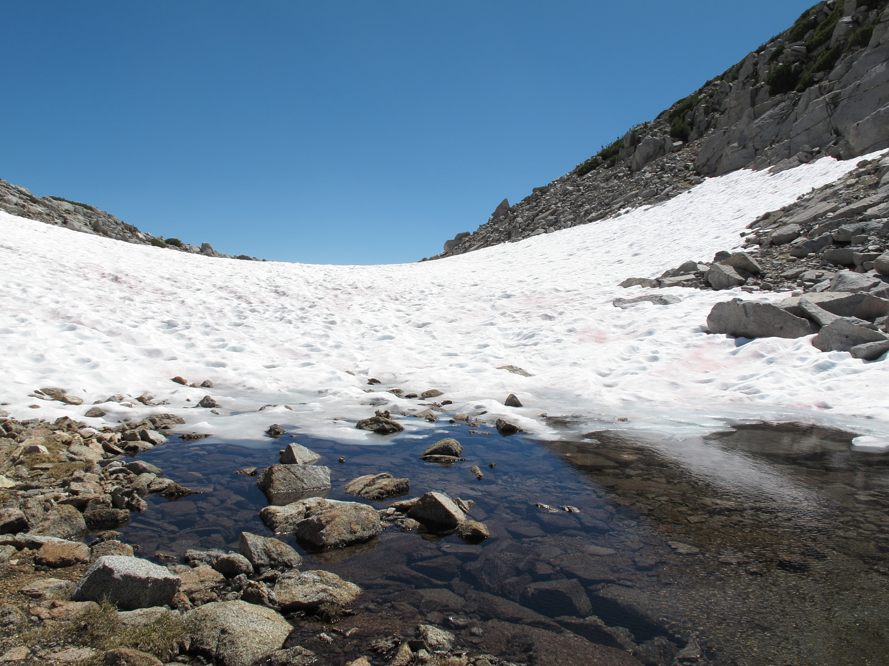
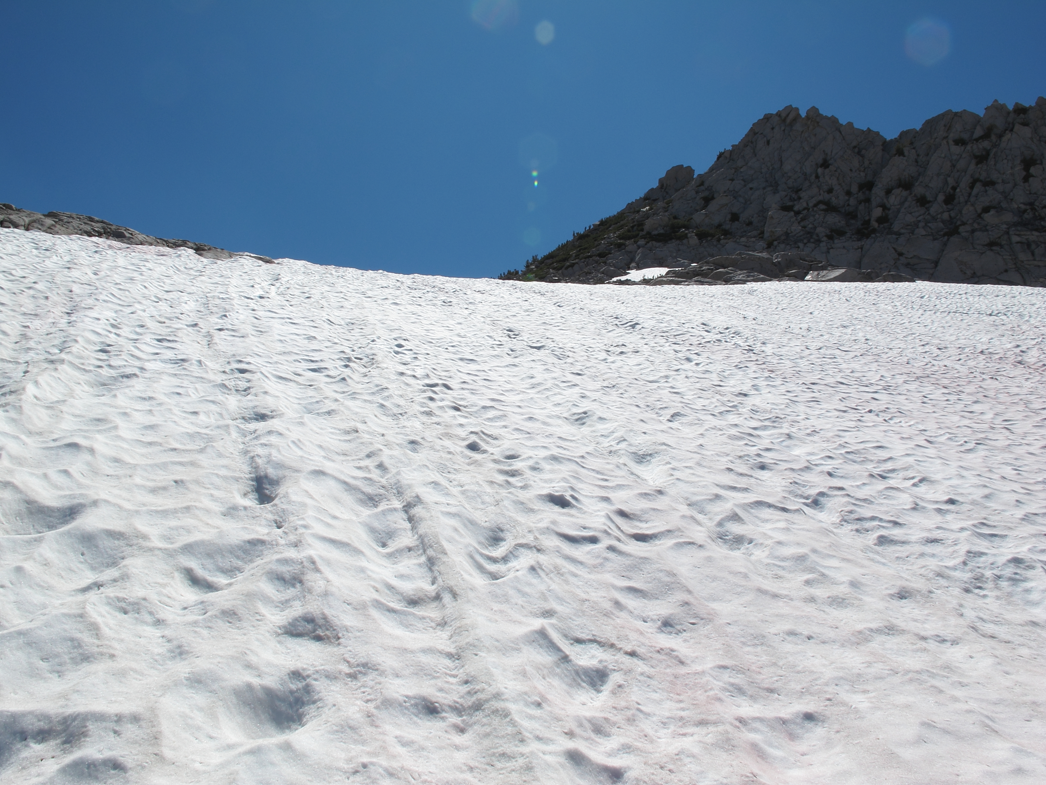
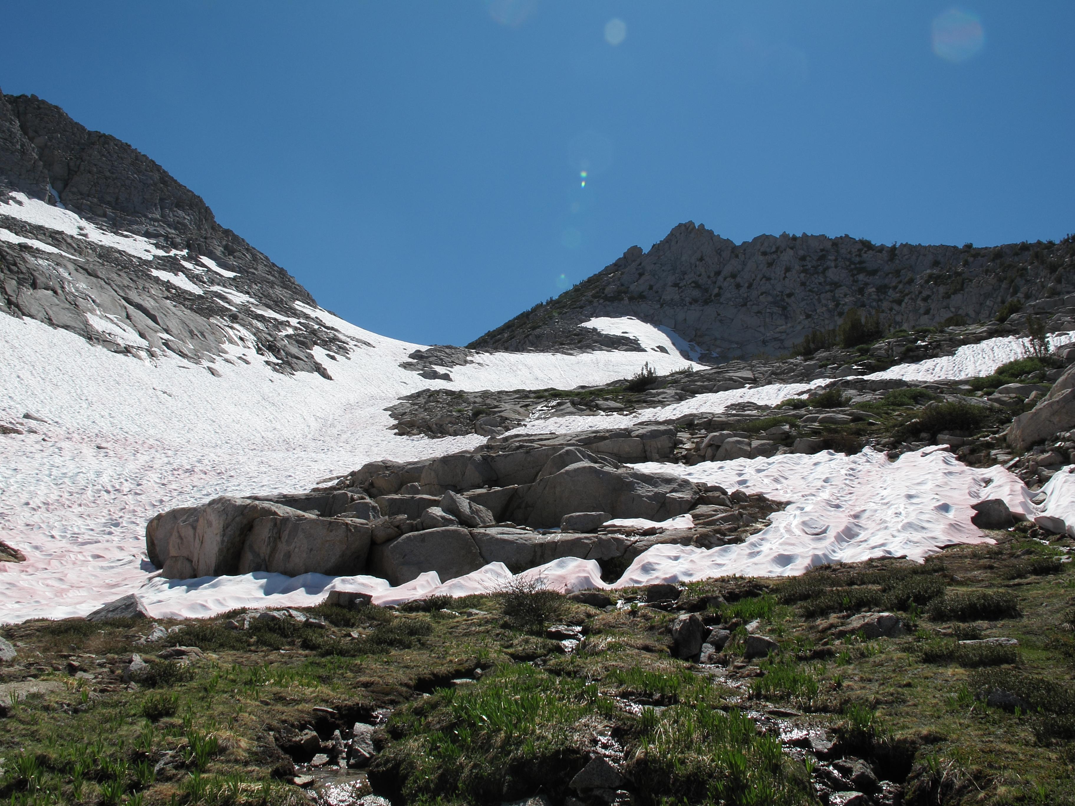
ROUTE DESCRIPTION: The South side is walking up grassy terrain to solid soil up to the top. The North side is steeper but is still a mess of grass slopes and granite slabs. The one time I crossed this pass I used an ice axe to glissade down a steep section of snow.