Member descriptions, photos, and map locations of Cross Country Passes in the High Sierra. This forum is for information only - discussions should be kept in the appropriate categories. This forum is a component of the HST Map. We need your help to complete the database, so please contribute!
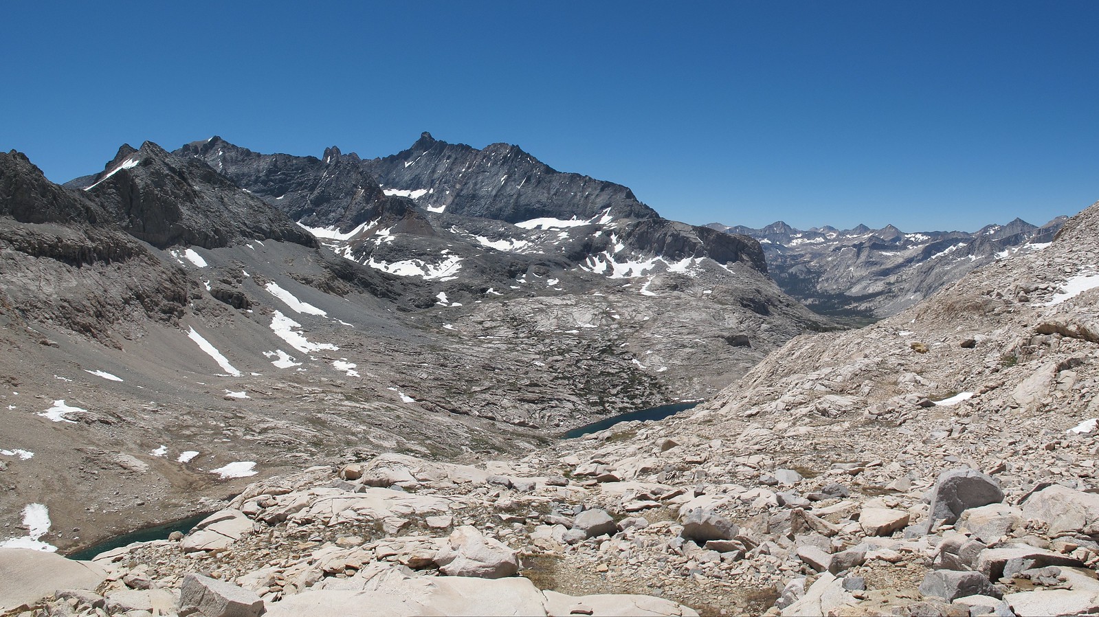
GENERAL OVERVIEW: This pass leads between 9 Lakes Basin and Lion Lake / Upper Lone Pine Creek
CLASS/DIFFICULTY: Class 2 although you will encounter some class 3 making your way up or down the Northern side of the pass near Lion Lake.
LOCATION: Sequoia National Park on the Eastern ridge of Lion Rock. HST Map
ELEVATION: 11,870
USGS TOPO MAP (7.5'): Triple Divide Peak
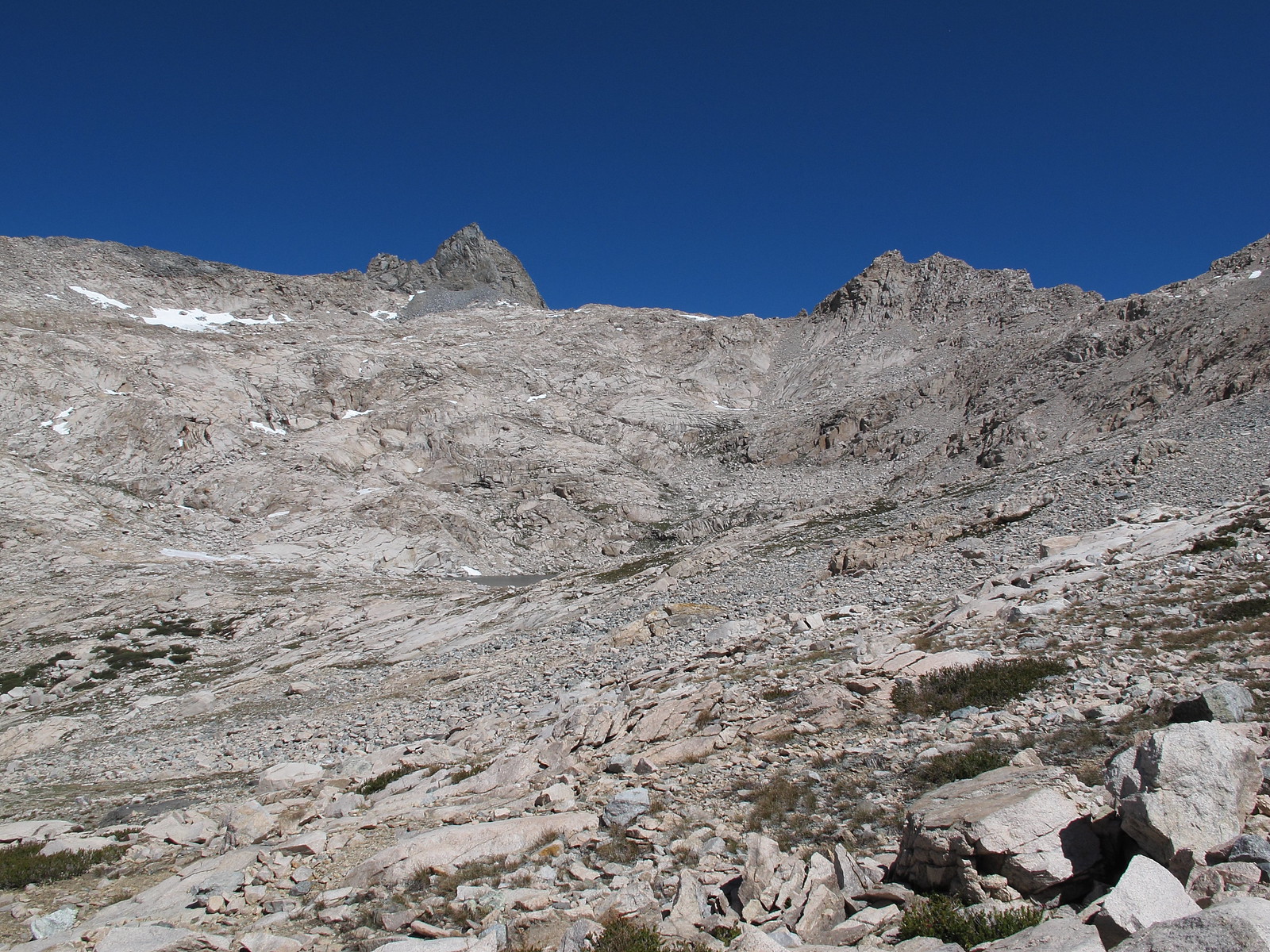
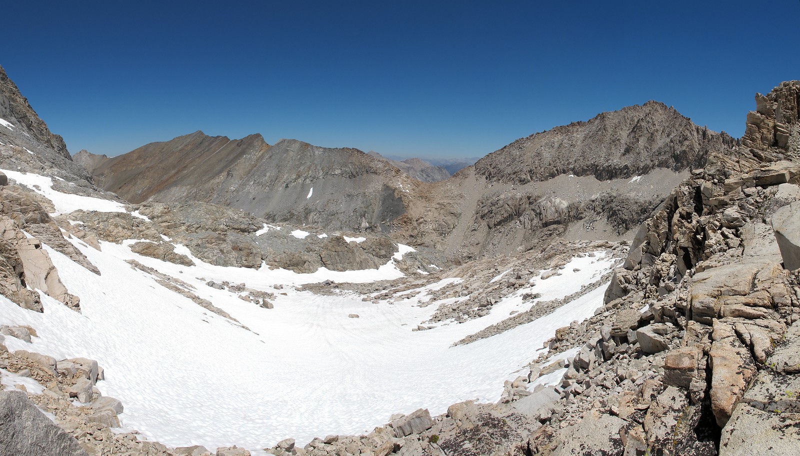
ROUTE DESCRIPTION: The Southern side has plenty of options for climbing up. I took off from the outlet of the lake and began up the Western slope angling up to the pass. This slope is a mess of granite shelves and small talus piles that leaves any one person to just find their own route.
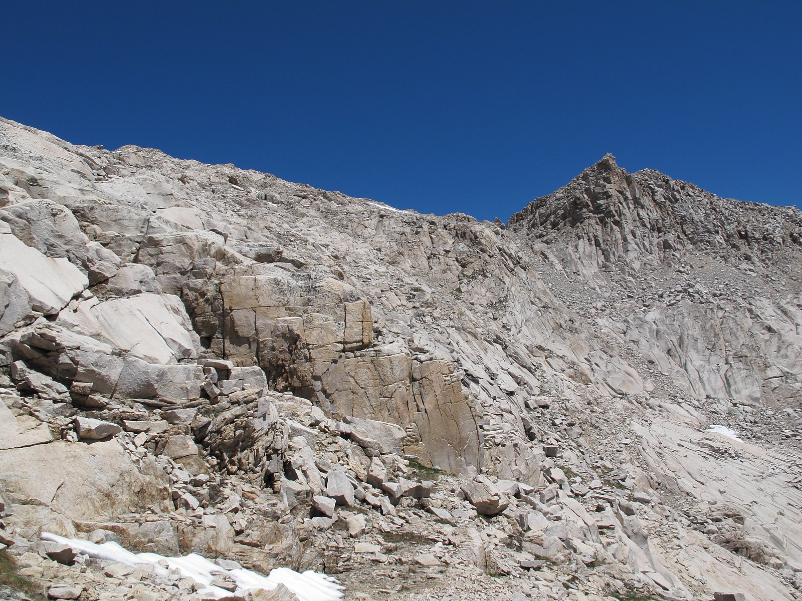
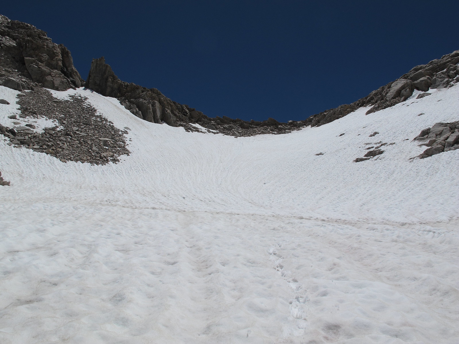
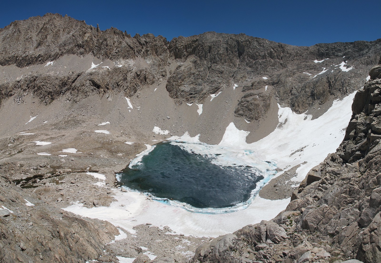
Due to the amount of snow cover on the Northern side I can only offer advise further down. I followed the primary drainage to where it plunges down to an unnamed lake below. This area is clearly class 3 but I did not take it because I couldn't see far enough down to judge if it could be done however when I turned left and began angling directly towards Lion Lake I could see that it is possible to take the drainage to the bottom. Angling towards Lion Lake takes you into a mix of granite shelves littered with loose rocks that demands more caution on what other wise would be fairly easy class 3 shelves.
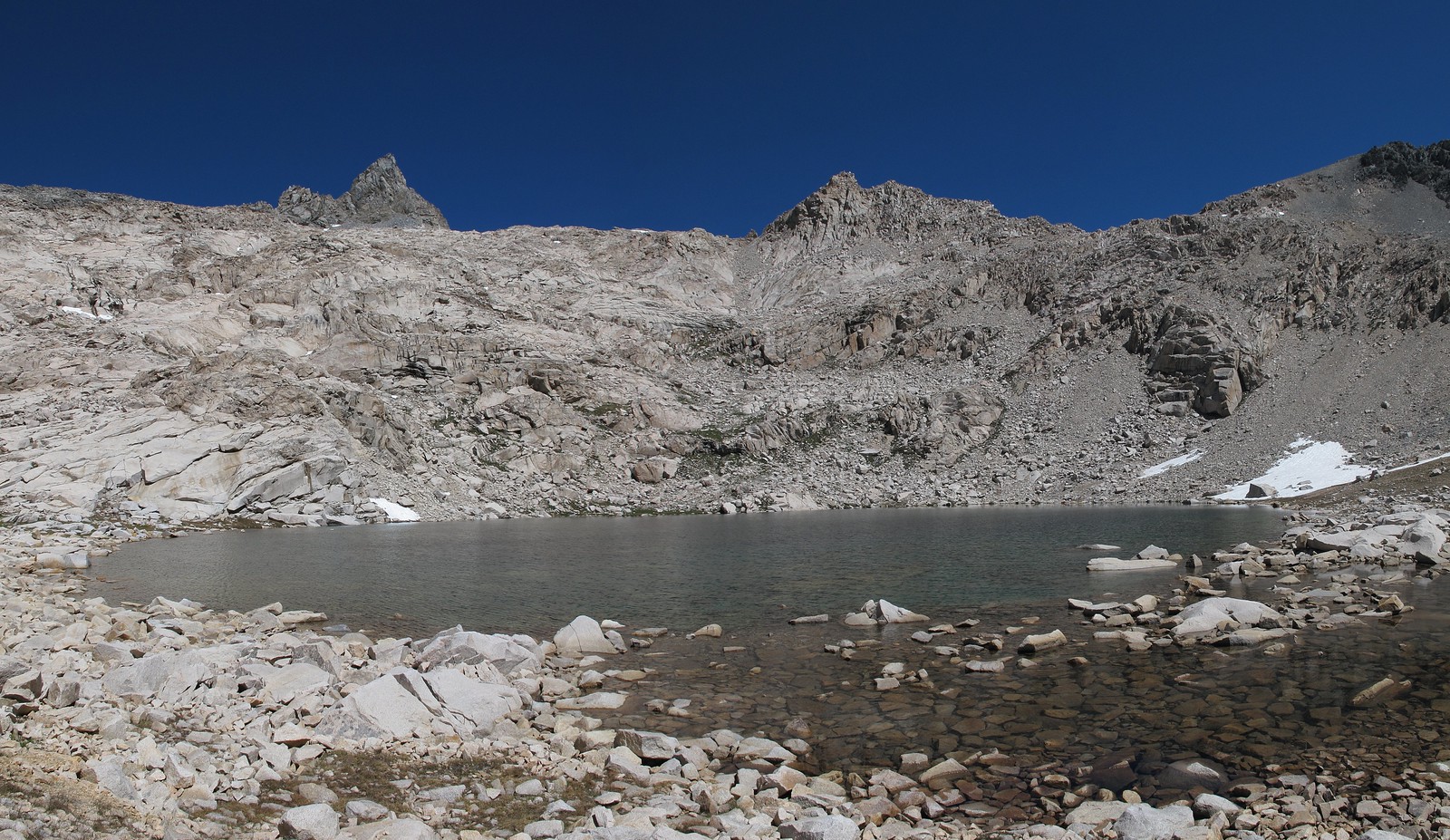
Nearing where the drainage dives down to the unnamed lake:
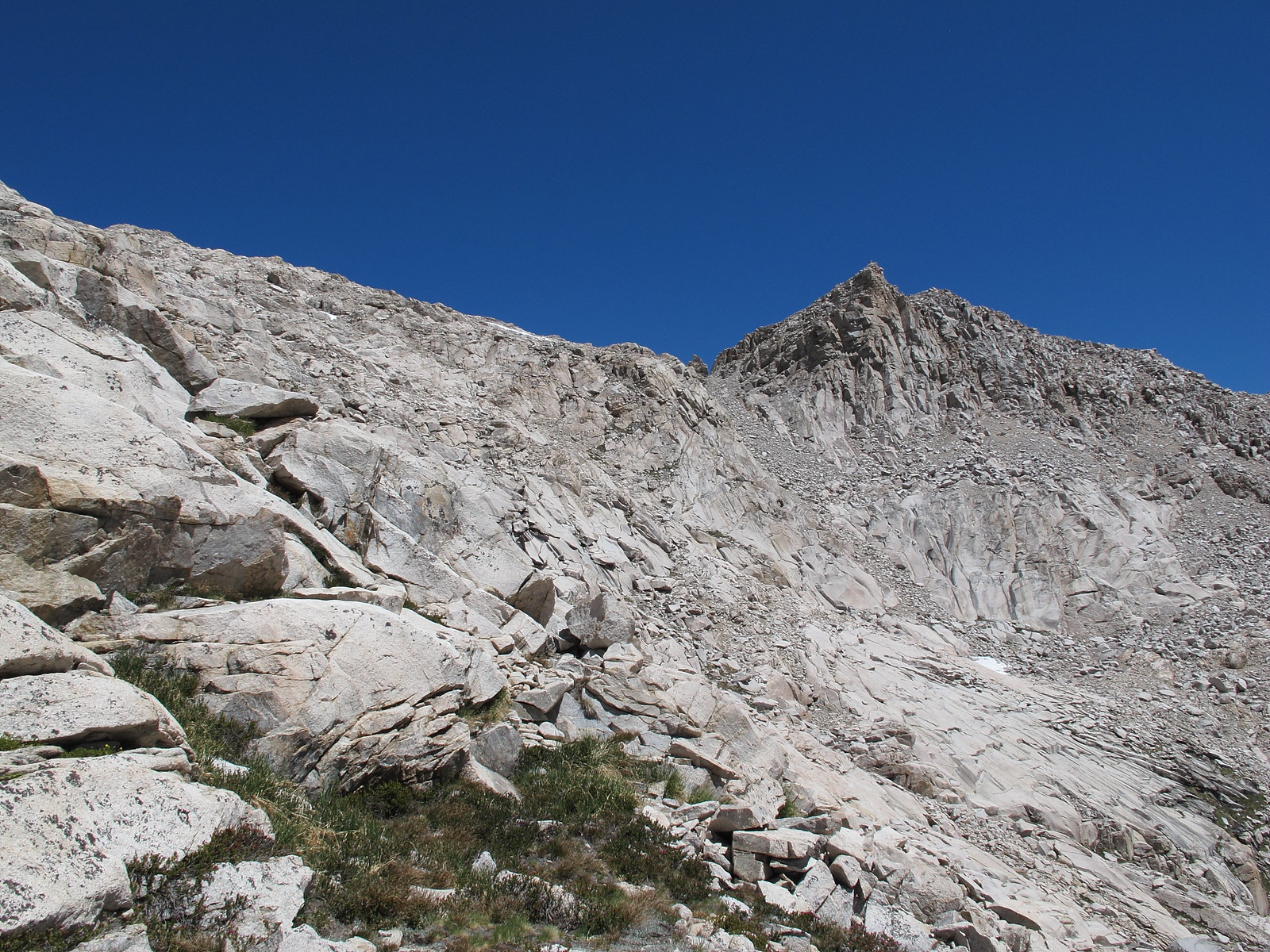
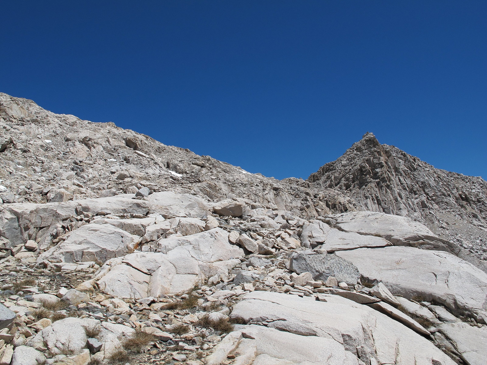
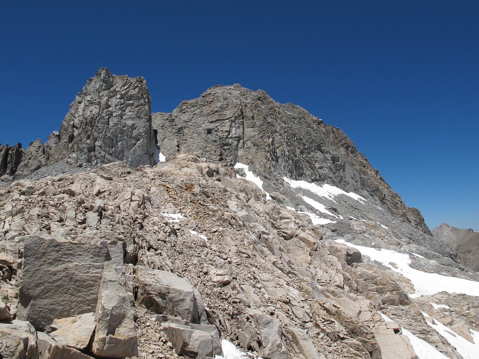
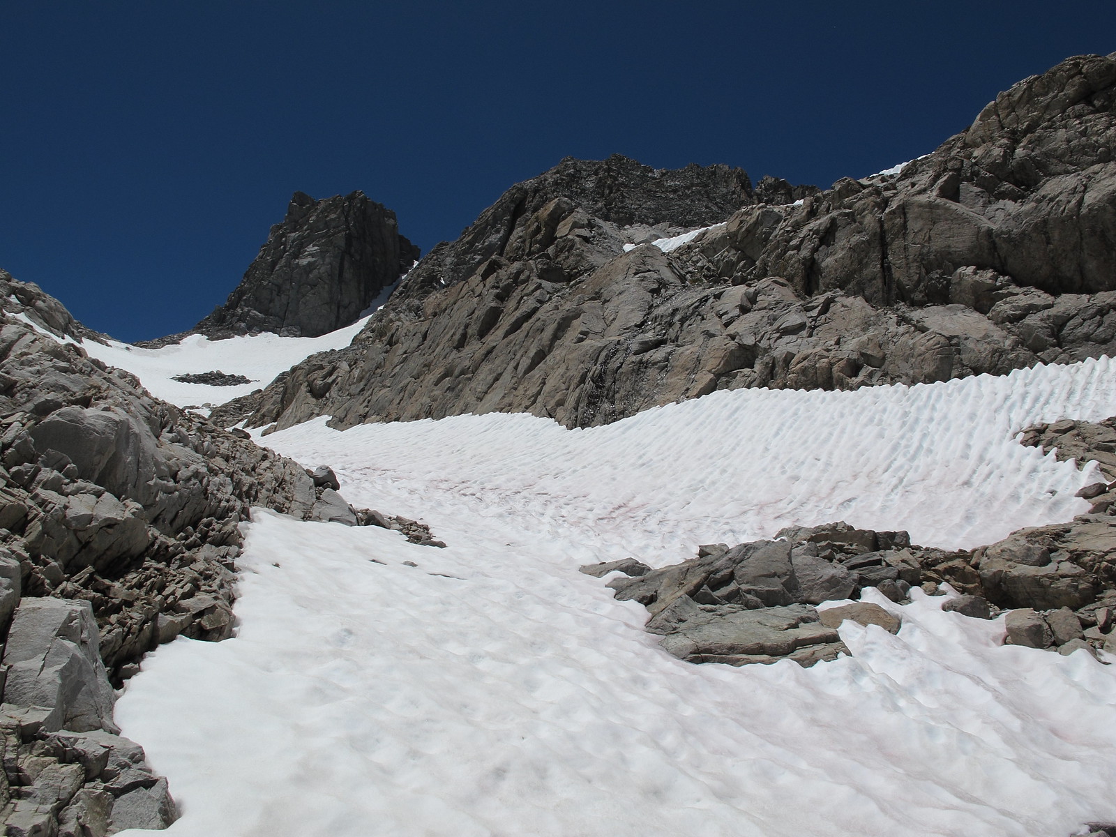
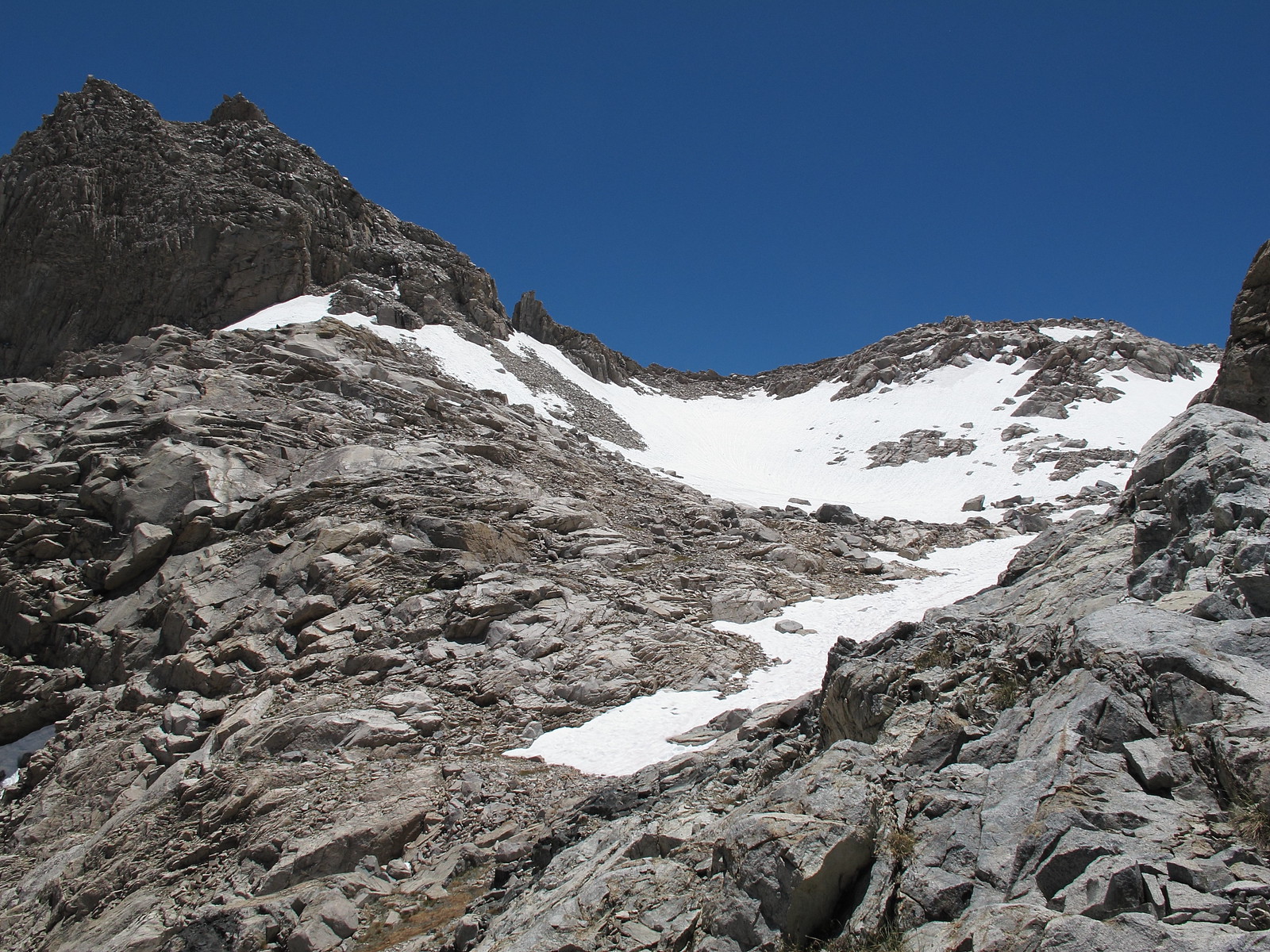
Route Description: If your heading up from Lion Lake's outlet there is an obvious ramp of rock running up at an angle. Follow up this until you come to larger patches of willows. From here It can be tempting to climb straight up but do not. Continue at an angle across the face of rock which maintains class 2. Your goal is to reach an obvious narrow chute. Either take the chute up or to avoid the small loose rock in it climb the rocks on the East side of the chute which can involve some easy class 3. This chute will deposit you directly into the cirque which goes over the pass. Now where the photo is taken below which is the pass there is a cut off to the right which cannot be seen. This route can also be taken and up to the ridge but involves much more tedious talus and perhaps more hazardous talus as well. Use it only as a connection to doing Lion Rock.
I have done this pass twice- once with significant snow and once totally dry. I did not encounter any class 3 on either side. There is no obvious route, so the difficulty is a function of the time you wish to spend finding the easier path. I tend to be a route "detective" willing to spend time looking for an easy path. There is some steep unstable talus just below the pass on the north side. If willing to do a lot of long switch backs to follow the geologic trends, the south side is almost Class 1.
It probably didn't that first time across I had massive snow cover. I've crossed it a couple more times since then. It's pretty much easy class 2 rock hoping though.